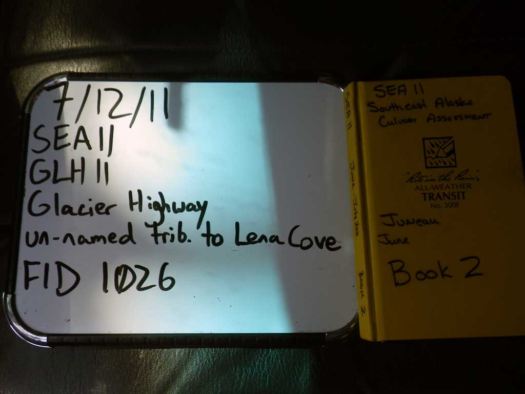
Fish Passage Site 10302215
Coordinates (dec. deg.): 58.39739°, -134.74889°
Legal Description: C040S065E18
Region: Southeast
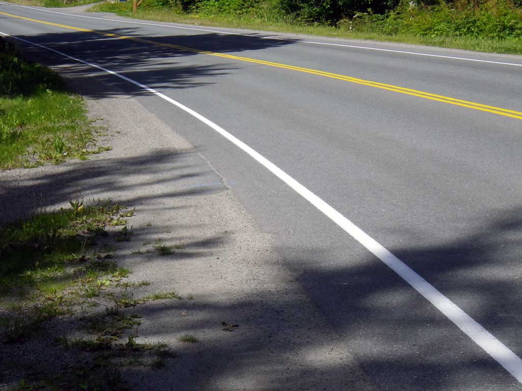
Road Name: Glacier Highway
Datum: NAD83
Quad Name / ITM: Juneau B-3
AWC Stream #:
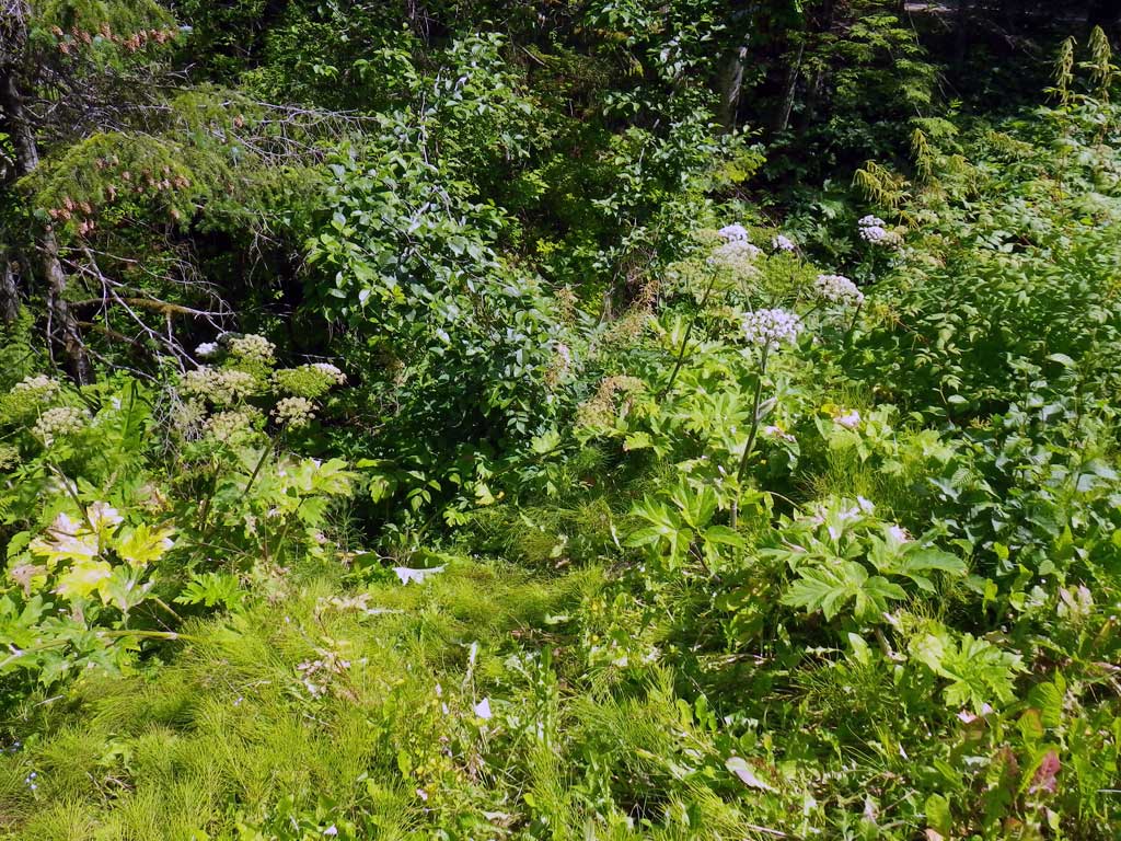
Stream Name: Lena Cove tributary
Elevation:
Site Comments: None
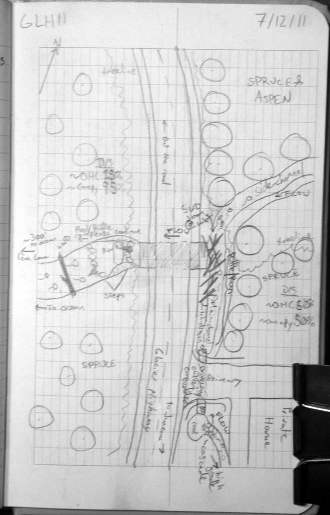
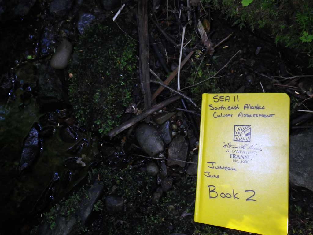
Survey SEA11-GLH11
Project Supervisor: Gillian O'Doherty, Alaska Department of Fish and Game
— Anchorage, AK
Observers: Jason Olds, Charmagne Gutierrez
Overall Fish Passage Rating:
Tidal: No
Backwatered: No
Step Pools: No
Construction Year:
Site Observations:
- Culvert gradient red
- Constriction ratio gray
- Woody Debris
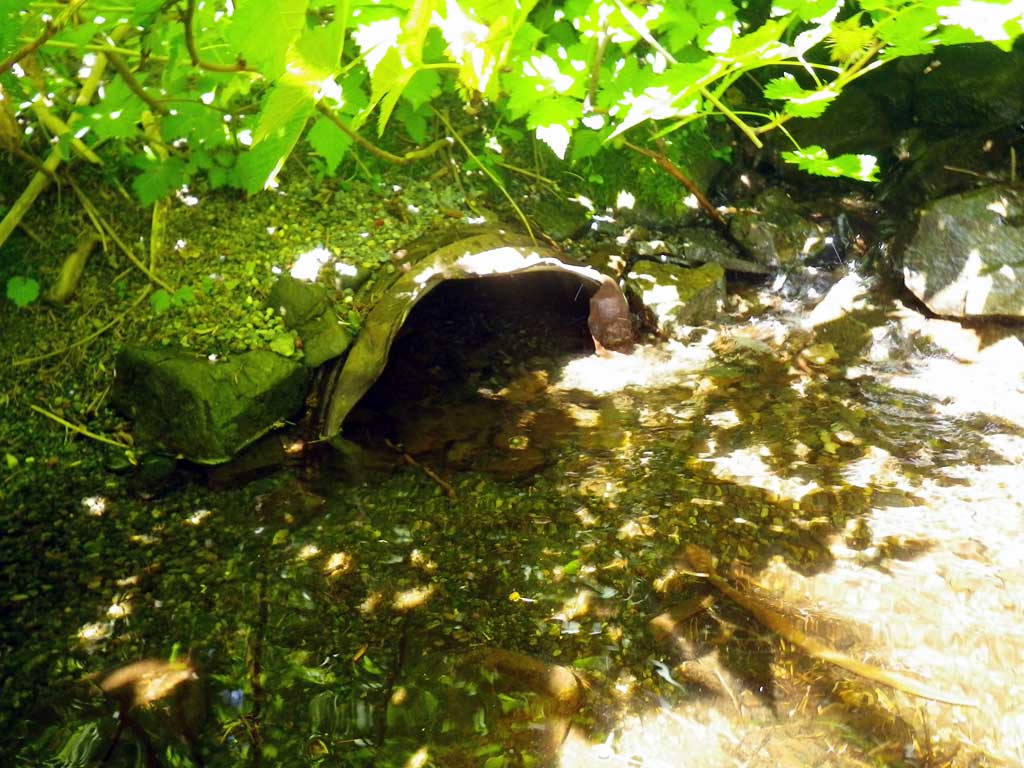
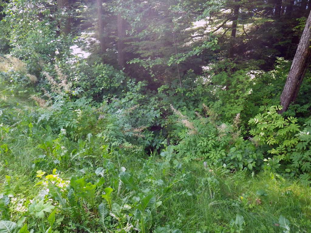
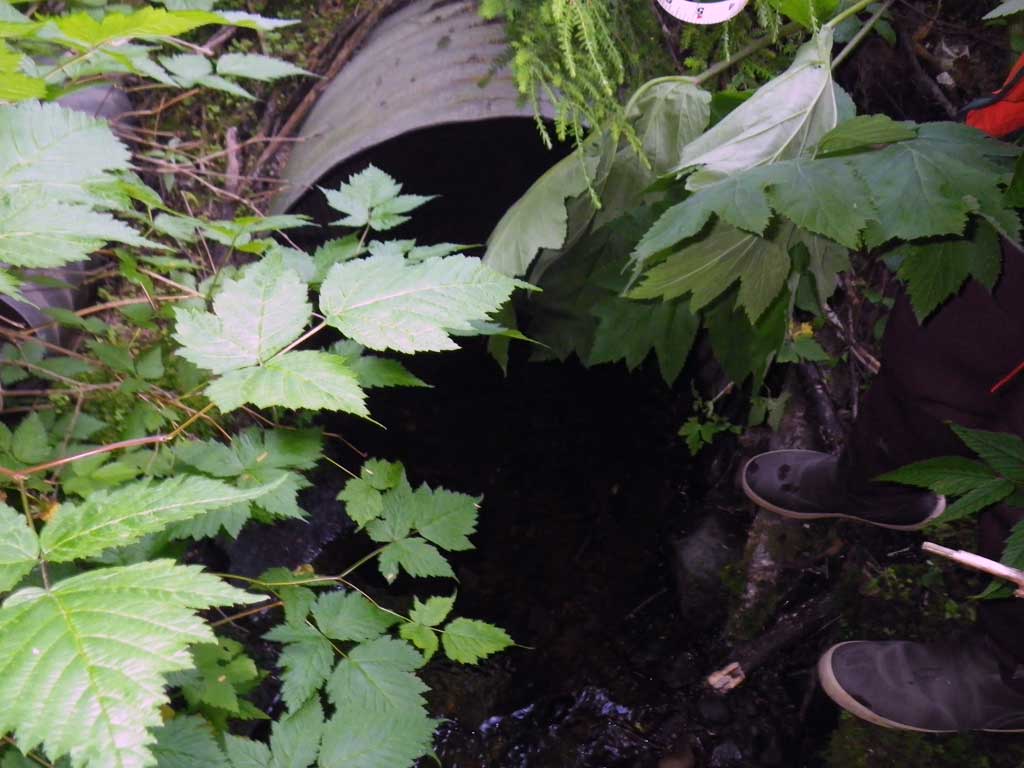
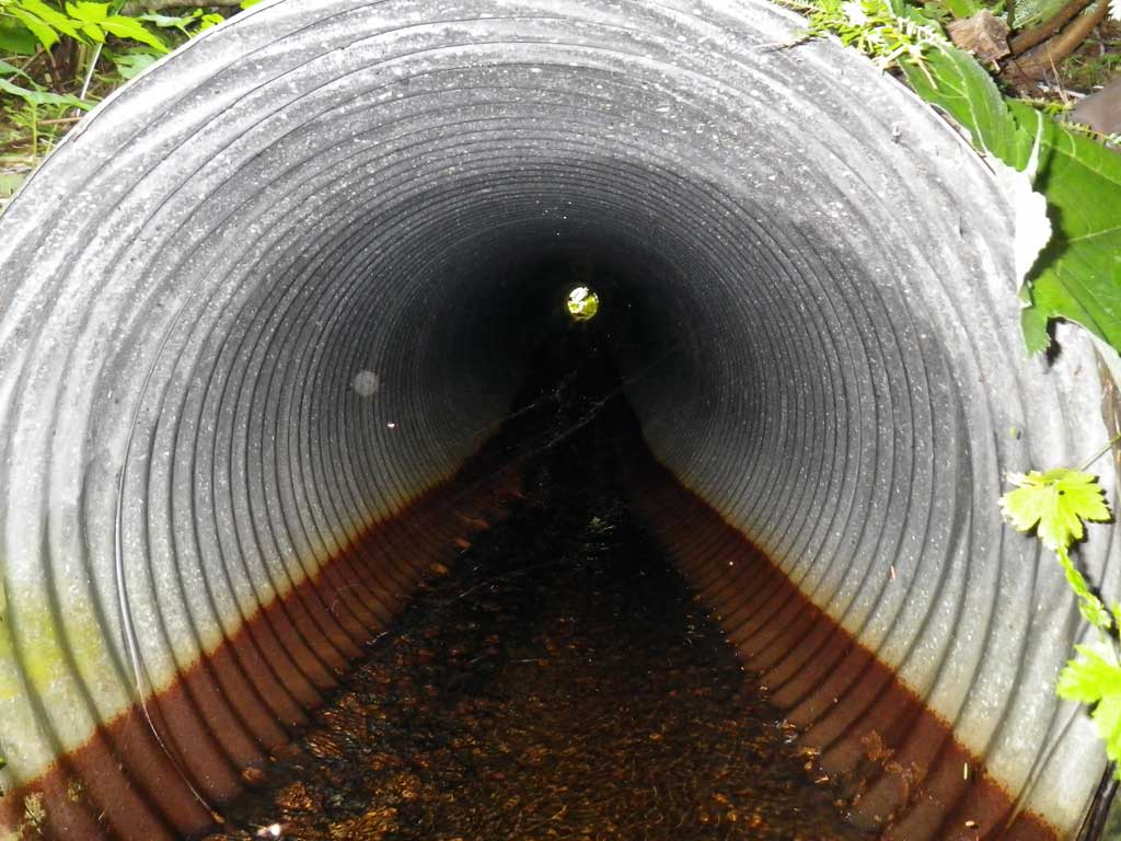
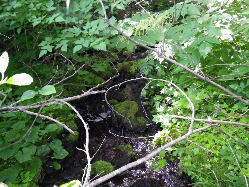
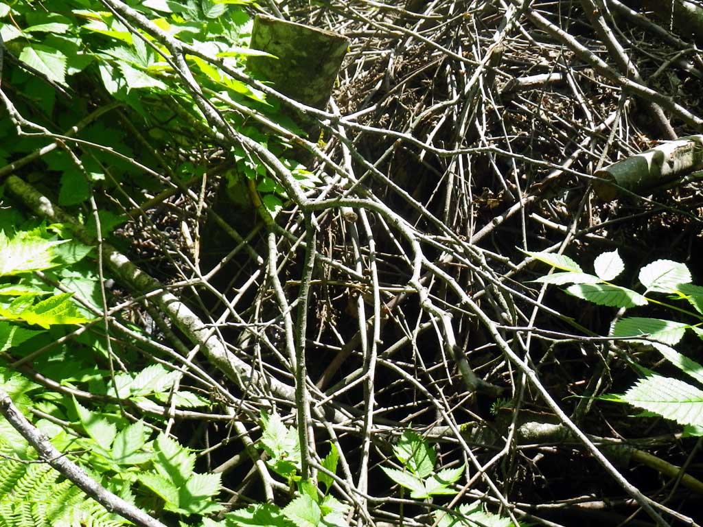
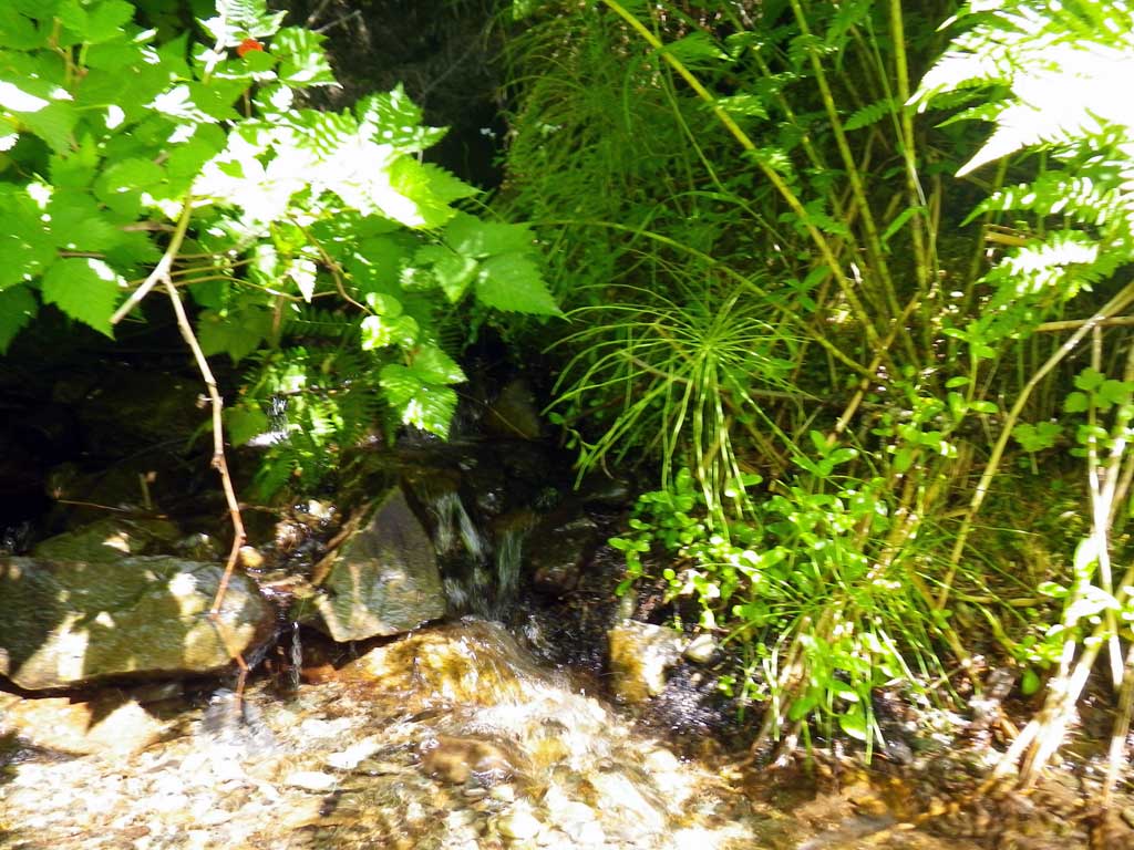
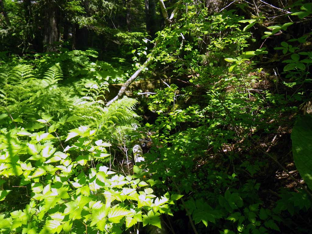
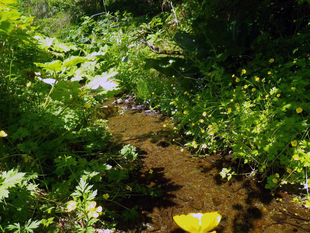
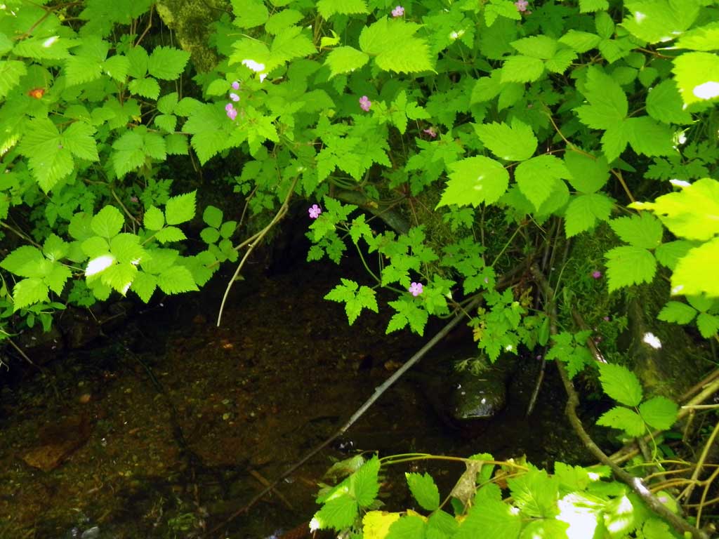
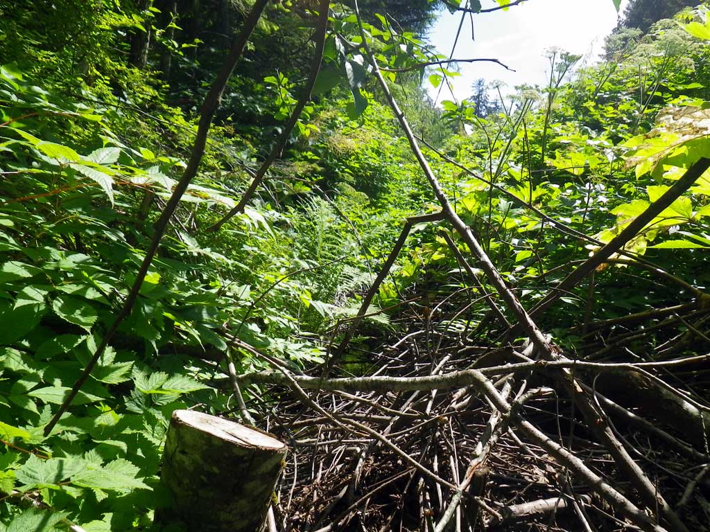
Comments: No traps were set as stream is already in the AWC. Highly impounded channel. Measurements of inlet are aproximated from outlet measurements as inlet was burried by a woody debri pile. Special condition where aproach was actually on a back-angle and therefor greater than 90 degrees. Vast majority of flow coming from ditch/drain, there is a dry channel they may have carried more flow at one time in line with the culvert however it apears the flow has switched somewhere upstream. One ~150mm Dolly Varden observed upstream of culvert. There is nice habitat upstream however it may terminate ~100 feet from invert in at cascade, may not be a barrier for some fishes.
Culvert Measurements
| ID: 1 | Structure Type: Circular pipe (Structural steel plate) | Fish Passage Rating: | |||||||||||||||||||||||||||||||||||||||||
|
|
|
|||||||||||||||||||||||||||||||||||||||||
Culvert Observations:
|
|||||||||||||||||||||||||||||||||||||||||||
Stream Measurements
|
|
| Stream Width Type | Distance From Crossing (ft) |
Stream Width (ft) |
|---|---|---|
| Downstream ordinary high water | 23.0 | 4.60 |
| Downstream ordinary high water | 44.0 | 5.50 |
| Downstream ordinary high water | 61.0 | 6.90 |
Elevations
| Locator ID | Culvert Number |
River Distance (ft)1 |
Distance From Crossing (ft)2 |
Relative Elevation (ft) |
|---|---|---|---|---|
| D/S Grade Ctrl (Thalweg) | 0.00 | 86.60 | ||
| D/S Water Surface Elev | 0.00 | 86.76 | ||
| D/S Tailcrest or 1st Thalweg | 5.00 | 86.97 | ||
| D/S Water Surface Elev | 5.00 | 87.23 | ||
| Max Pool Depth | 8.00 | 86.86 | ||
| Outlet Pool Water Elev | 8.00 | 87.23 | ||
| Outlet Culvert Top (Invert out, on metal) | 9.00 | 89.79 | ||
| Outlet Thalweg (Invert out, on substrate) | 9.00 | 86.73 | ||
| D/S Water Surface Elev (Invert out) | 9.00 | 87.23 | ||
| Inlet Culvert Top (Invert in, on metal) | 100.00 | 95.66 | ||
| U/S Headwater (1st resting may be closer to pipe, too much woody debris to survey closer to the invert) | 109.00 | 92.94 | ||
| Misc. (Upstream survey point) | 135.00 | 94.14 | ||
| U/S Water Surface Elev | 135.00 | 94.65 |
Notes:
- River distance is measured continuously throughout the survey reach along the thalweg of the stream.
- Measured from each end of the crossing along the thalweg of the stream.
Fish Sampling Efforts
| Gear Type: Visual Observation, Ground (A) | Trap Duration(h): 30.0 | |
| Channel Type: Main Channel (>50% of water flow) | ||
| Comments: Visual observation | ||
Fish Observations
| Species: Dolly Varden | Life History: Unknown | ||
| Total Fish Observed: 1 | Fish Measured: 1 | Fork Lengths (mm) Min: 150 Max: 150 Mean: 150 | |
| Collected/Observed by Gear Type: Upstream Visual Observation, Ground (1) | |||
Photos
Questions or comments about this report can be directed to dfg.dsf.webmaster@alaska.gov