Fish Passage Site 10302214
Coordinates (dec. deg.): 58.38876°, -134.74419°
Legal Description: C040S065E19
Region: Southeast
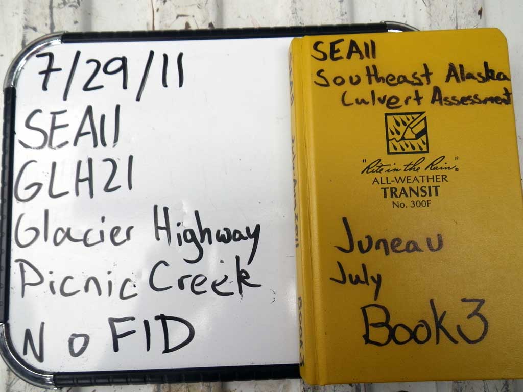
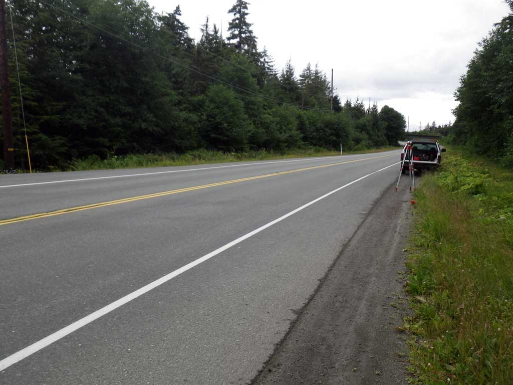
Road Name: Glacier Highway
Datum: NAD83
Quad Name / ITM: Juneau B-3
AWC Stream #:
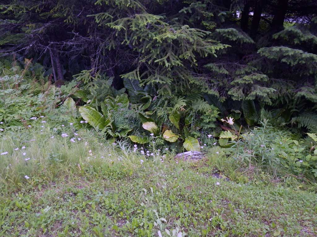
Stream Name: Campground Creek Tributary
Elevation:
Site Comments: None
arrow to the right of the survey date below to choose a different report for this site.
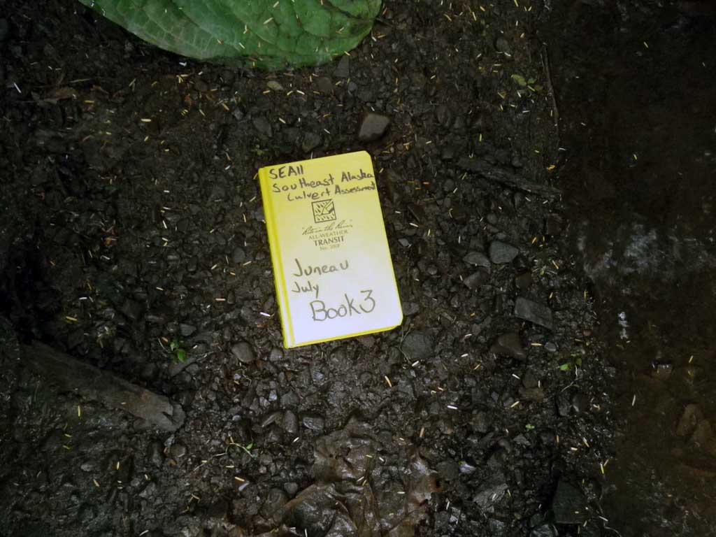
Survey SEA11-GLH21
Project Supervisor: Gillian O'Doherty, Alaska Department of Fish and Game
— Anchorage, AK
Observers: Jason Olds, Charmagne Gutierrez
Overall Fish Passage Rating:
Tidal: No
Backwatered: No
Step Pools: No
Construction Year:
Site Observations:
- Constriction ratio gray
- Culvert gradient red
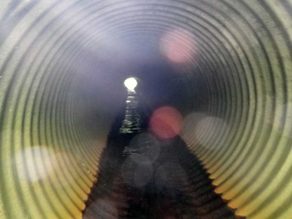
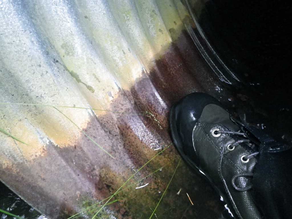
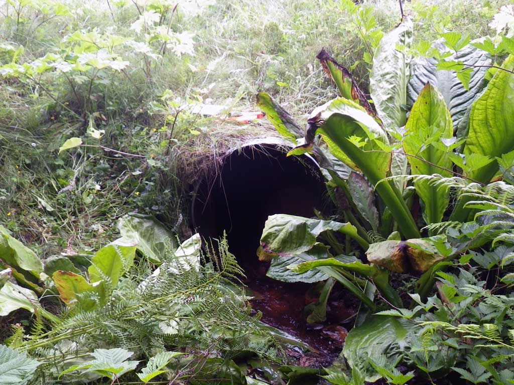
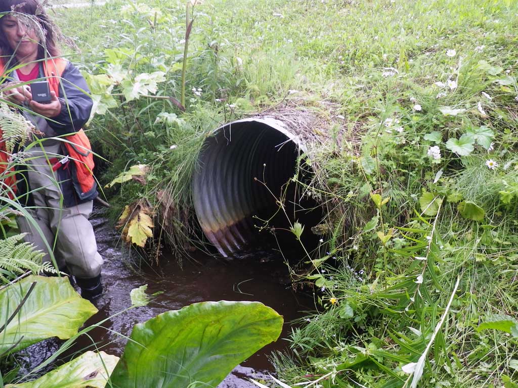
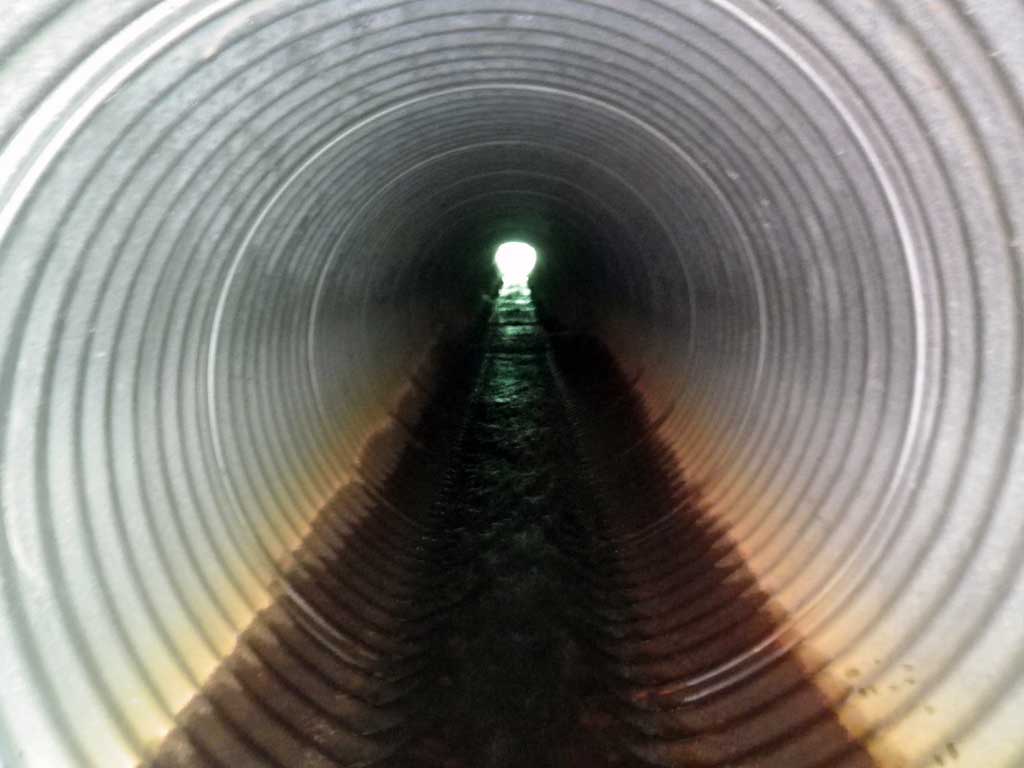
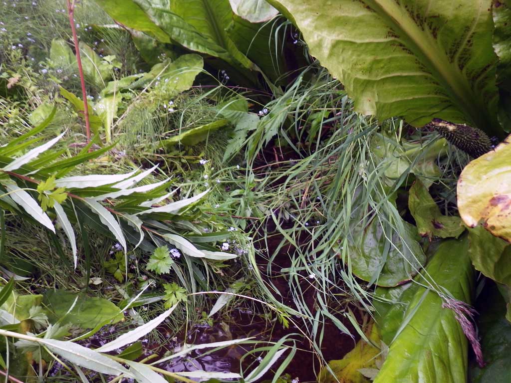
Comments: Pipe rusted through at oulet; likely goes dry. Too braided for Upstream Widths. Visual observation of Salmonids US/DS
Culvert Measurements
| ID: 1 | Structure Type: Circular pipe (Corrugated steel) | Fish Passage Rating: | |||||||||||||||||||||||||||||||||||||||||
|
|
|
|||||||||||||||||||||||||||||||||||||||||
Comments: Pipe rusted through at oulet; likely goes dry. Too braided for upstream widths. Visual observation of juvenile salmonids US/DS. |
|||||||||||||||||||||||||||||||||||||||||||
Culvert Observations:
|
|||||||||||||||||||||||||||||||||||||||||||
Stream Measurements
|
|
| Stream Width Type | Distance From Crossing (ft) |
Stream Width (ft) |
|---|---|---|
| Downstream ordinary high water | 20.0 | 2.40 |
| Downstream ordinary high water | 47.0 | 4.50 |
| Downstream ordinary high water | 62.0 | 5.10 |
Elevations
| Locator ID | Culvert Number |
River Distance (ft)1 |
Distance From Crossing (ft)2 |
Relative Elevation (ft) |
|---|---|---|---|---|
| Road Elev | 100.00 | |||
| D/S Tailcrest or 1st Thalweg | 0.00 | 93.73 | ||
| D/S Water Surface Elev | 0.00 | 93.93 | ||
| Outlet Pool Water Elev | 5.00 | 93.98 | ||
| Max Pool Depth | 5.00 | 93.39 | ||
| Outlet Culvert Top | 10.00 | 96.89 | ||
| D/S Water Surface Elev (Invert Out, BOP rusted through) | 10.00 | 93.98 | ||
| Inlet Culvert Invert | 82.30 | 96.25 | ||
| U/S Headwater | 82.30 | 96.48 | ||
| Inlet Culvert Top | 82.30 | 99.32 |
Notes:
- River distance is measured continuously throughout the survey reach along the thalweg of the stream.
- Measured from each end of the crossing along the thalweg of the stream.
Fish Sampling Efforts
| Gear Type: Visual Observation, Ground (A) | ||
| Comments: Visual observation of juvenile salmonids upstream and downstream from culvert. | ||
Fish Observations
No fish observations occurred during this survey.
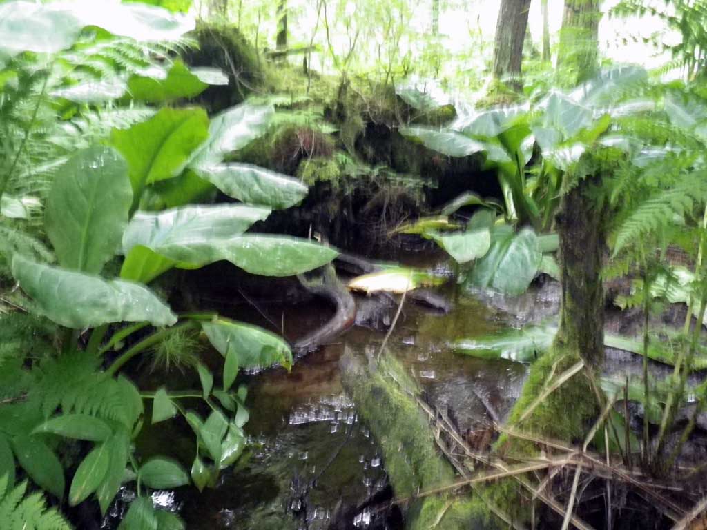
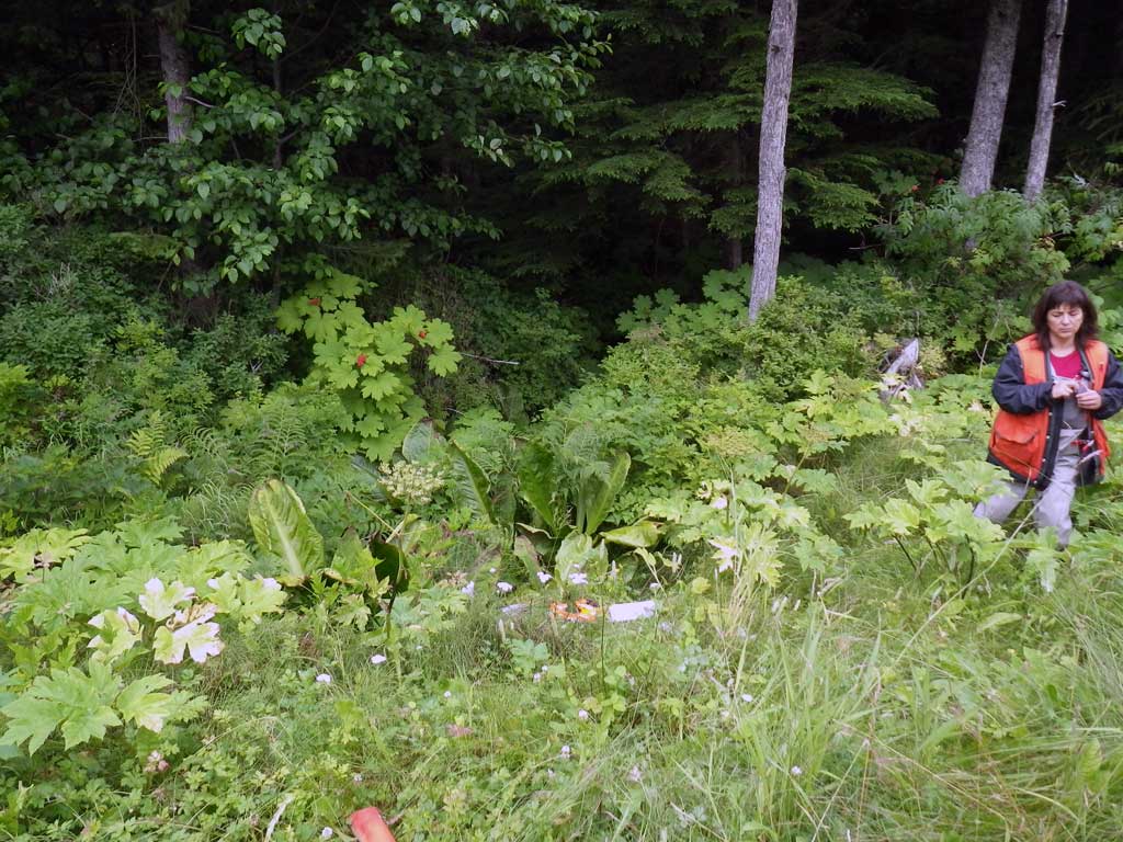
Photos

Questions or comments about this report can be directed to dfg.dsf.webmaster@alaska.gov