Fish Passage Site 10302213
Coordinates (dec. deg.): 58.37858°, -134.71495°
Legal Description: C040S065E29
Region: Southeast
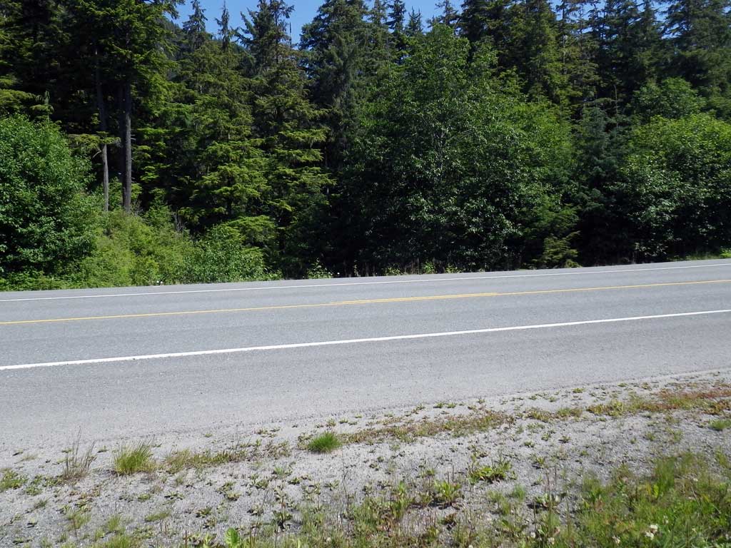
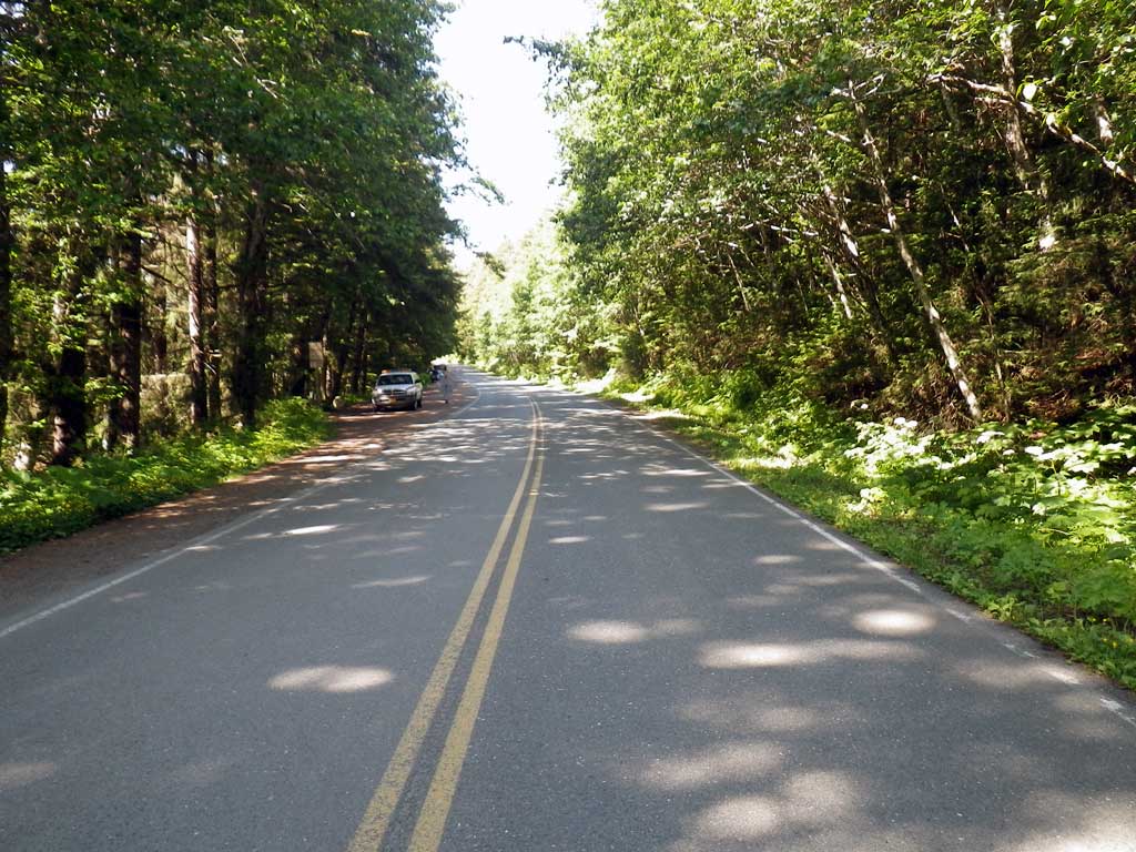
Road Name: Glacier Highway
Datum: NAD83
Quad Name / ITM: Juneau B-3
AWC Stream #:
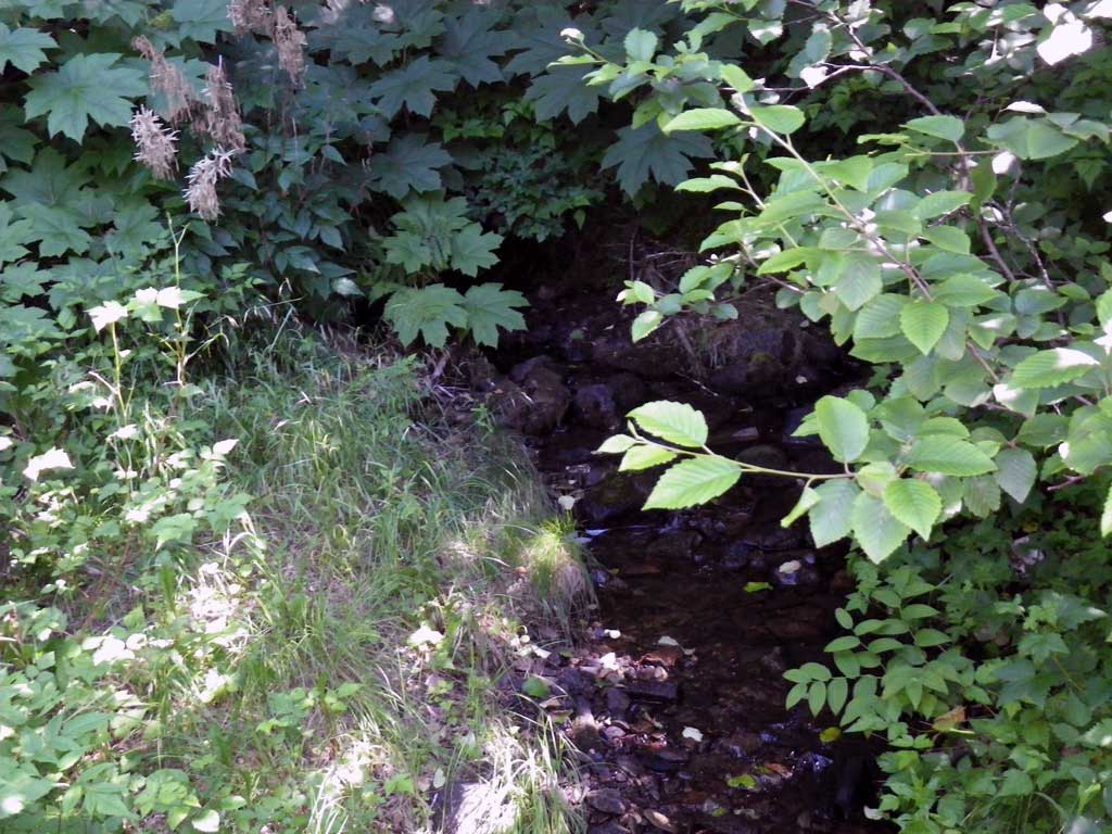
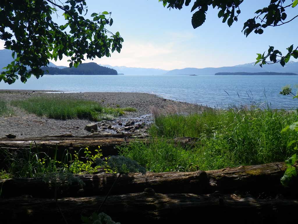
Stream Name: Auke Bay tributary
Elevation:
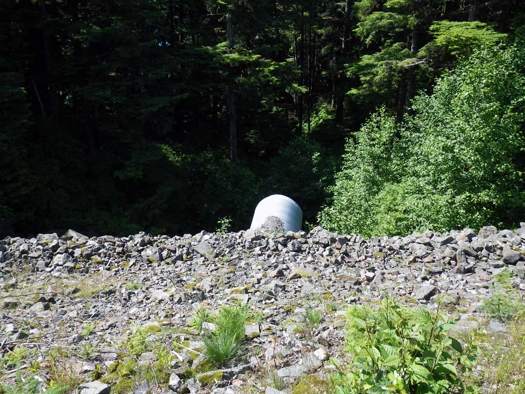
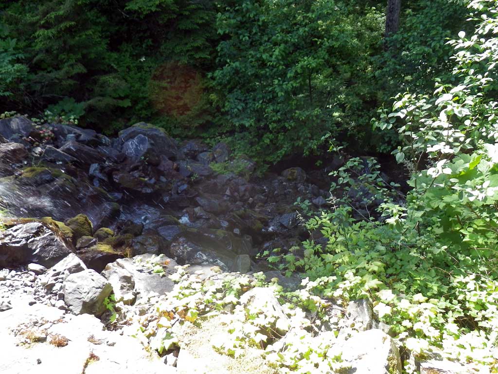
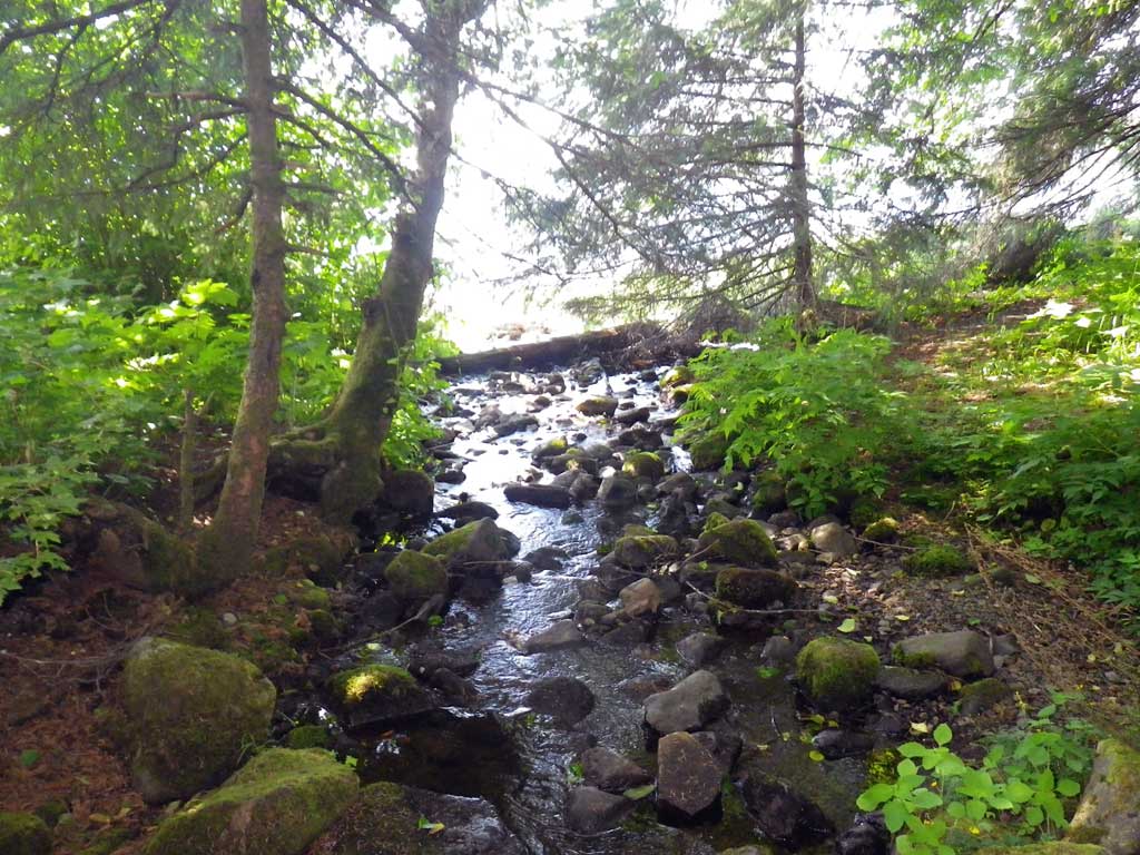
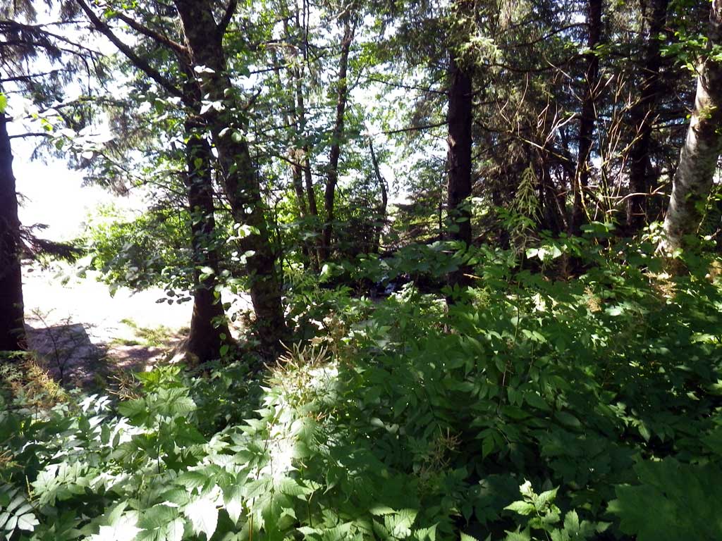
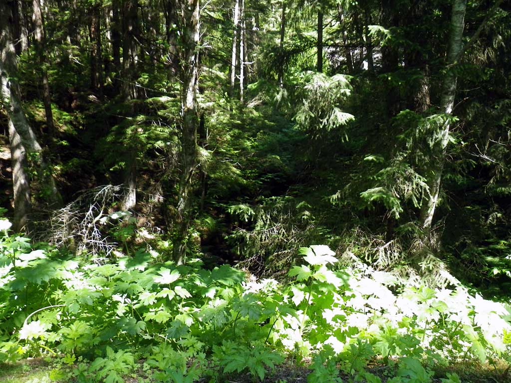
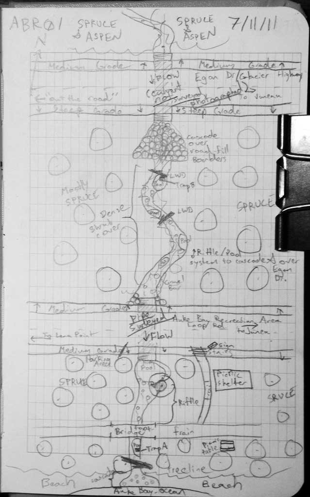
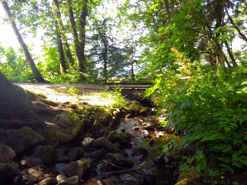
Site Comments: This site is on Point Louisa Road in the Auke Bay Recreational Area. There is another culvert on this stream about 200 feet upstream from this site that runs under the Glacier Highway
arrow to the right of the survey date below to choose a different report for this site.
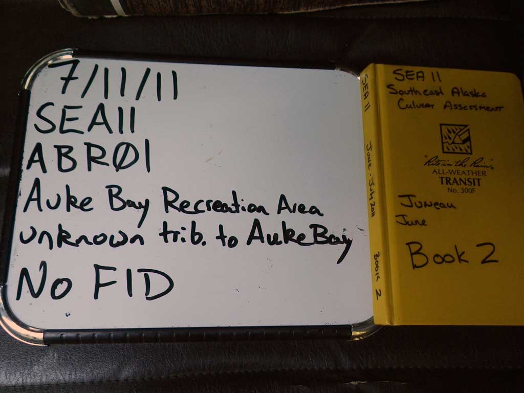
Survey SEA11-ABR01
Project Supervisor: Gillian O'Doherty, Alaska Department of Fish and Game
— Anchorage, AK
Observers: Jason Olds, Charmagne Gutierrez
Overall Fish Passage Rating:
Tidal: No
Backwatered: No
Step Pools: No
Construction Year:
Site Observations:
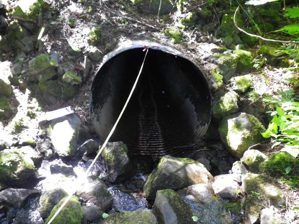
- Culvert gradient red
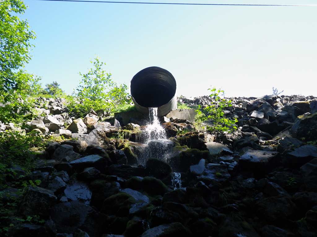
- Outfall height red
- Constriction ratio gray
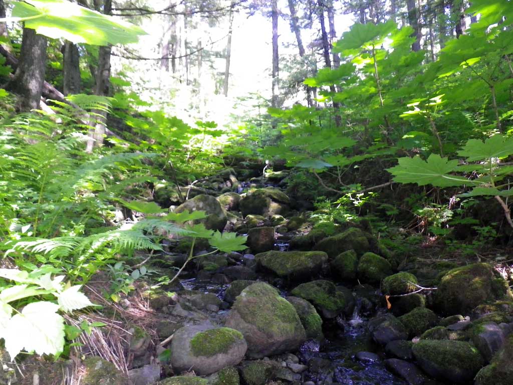
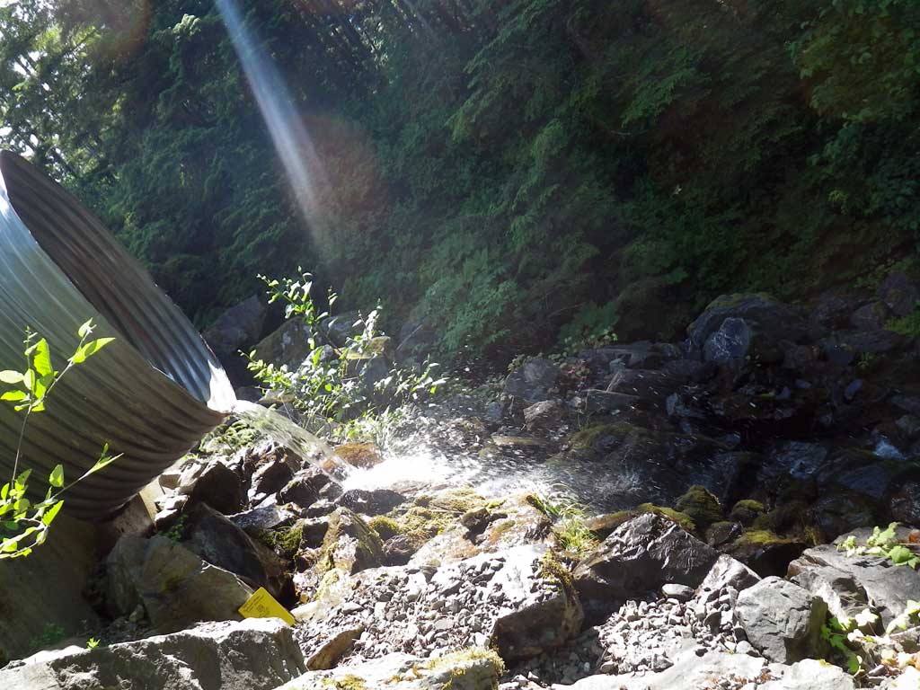
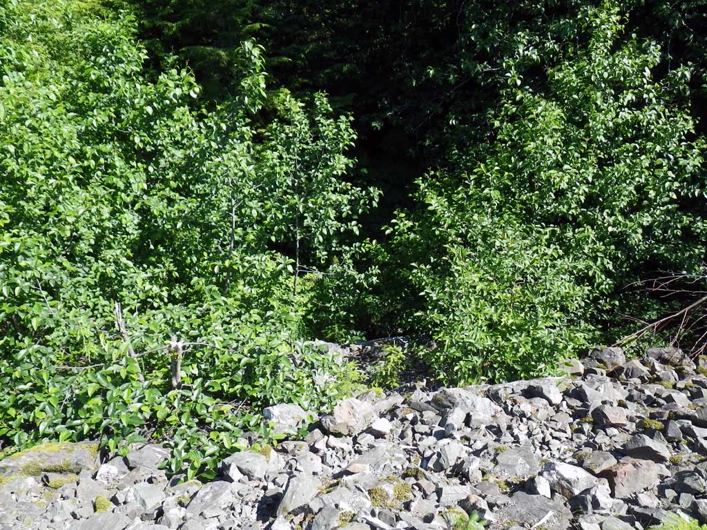
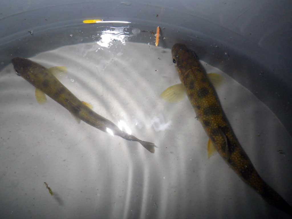
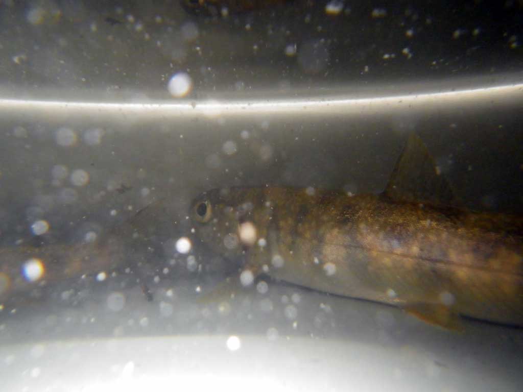
Comments: Two fish in trap B when removed; quality habitat. ~20' freefall over rip-rap/cascade 200' upstream of iinlet nvert from upstream pipe under Glacier Hwy. Small but decent habitat upstream of Glacier Hwy.
Culvert Measurements
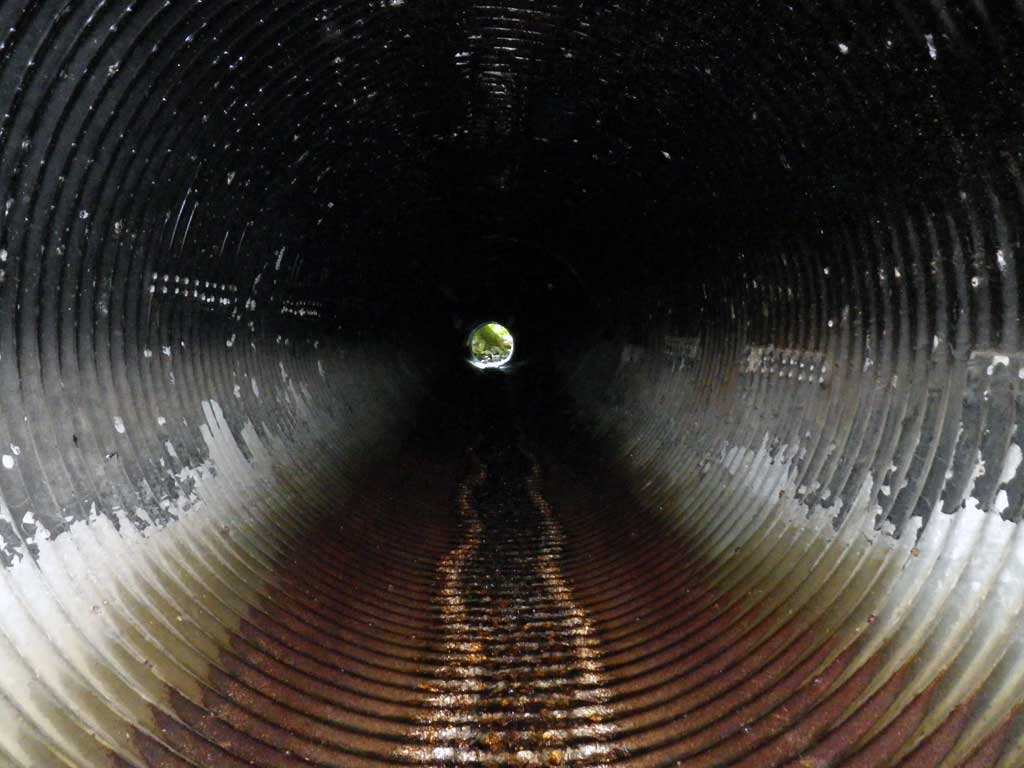
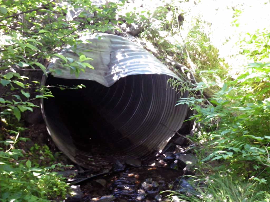
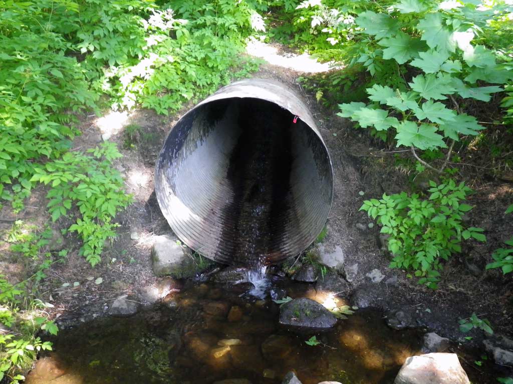
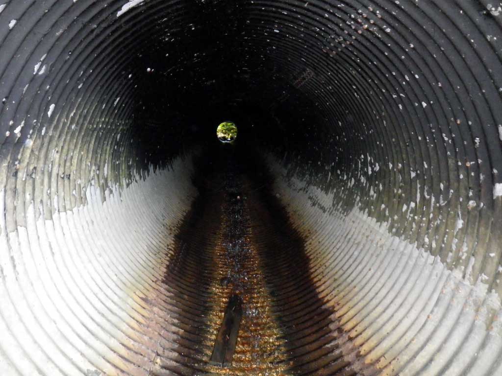
| ID: 1 | Structure Type: Circular pipe (Structural steel plate) | Fish Passage Rating: | |||||||||||||||||||||||||||||||||||||||||
|
|
|
|||||||||||||||||||||||||||||||||||||||||
Comments: Culvert gradient red. Will likely not pass fish. |
|||||||||||||||||||||||||||||||||||||||||||
Culvert Observations:
|
|||||||||||||||||||||||||||||||||||||||||||
Stream Measurements
|
|
| Stream Width Type | Distance From Crossing (ft) |
Stream Width (ft) |
|---|---|---|
| Upstream ordinary high water | 23.0 | 11.70 |
| Upstream ordinary high water | 46.0 | 8.20 |
| Upstream ordinary high water | 66.0 | 4.40 |
Elevations
| Locator ID | Culvert Number |
River Distance (ft)1 |
Distance From Crossing (ft)2 |
Relative Elevation (ft) |
|---|---|---|---|---|
| Road Elev | 123.38 | |||
| D/S Grade Ctrl (Thalweg) | 0.00 | 92.73 | ||
| D/S Water Surface Elev | 0.00 | 92.96 | ||
| D/S Tailcrest or 1st Thalweg | 18.00 | 94.47 | ||
| D/S Water Surface Elev | 18.00 | 94.68 | ||
| Outlet Pool Water Elev | 21.00 | 94.65 | ||
| Max Pool Depth | 21.00 | 93.85 | ||
| Outlet Invert (On Metal) | 28.00 | 94.88 | ||
| D/S Water Surface Elev | 28.00 | 94.99 | ||
| Outlet Culvert Top | 28.00 | 100.00 | ||
| Inlet Culvert Invert (On metal) | 131.50 | 105.44 | ||
| U/S Water Surface Elev | 131.50 | 105.54 | ||
| Inlet Culvert Top | 131.50 | 110.42 | ||
| U/S Headwater (1st resting pool, bottom of riffle) | 132.00 | 105.54 |
Notes:
- River distance is measured continuously throughout the survey reach along the thalweg of the stream.
- Measured from each end of the crossing along the thalweg of the stream.
Fish Sampling Efforts
| Gear Type: Minnow Trap (A) | Trap Duration(h): 3.0 | |
| Channel Type: Main Channel (>50% of water flow) | ||
| Gear Type: Minnow Trap (B) | Trap Duration(h): 3.0 | |
| Channel Type: Main Channel (>50% of water flow) | ||
| Gear Type: (C) | ||
Fish Observations
| Species: Dolly Varden | Life History: Unknown | ||
| Total Fish Observed: 2 | Fish Measured: 2 | Fork Lengths (mm) Min: 85 Max: 153 Mean: 119 | |
| Collected/Observed by Gear Type: Upstream Minnow Trap (2) | |||
Photos
Questions or comments about this report can be directed to dfg.dsf.webmaster@alaska.gov