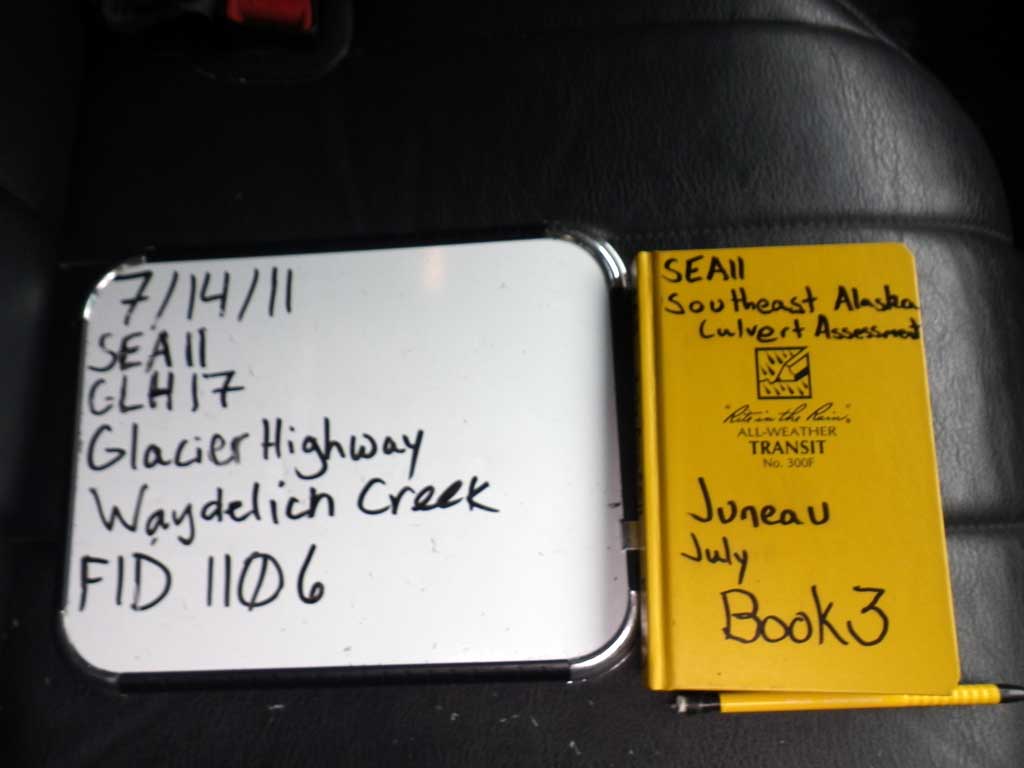
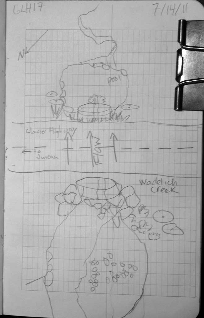
Fish Passage Site 10302212
Coordinates (dec. deg.): 58.38528°, -134.65869°
Legal Description: C040S065E22
Region: Southeast
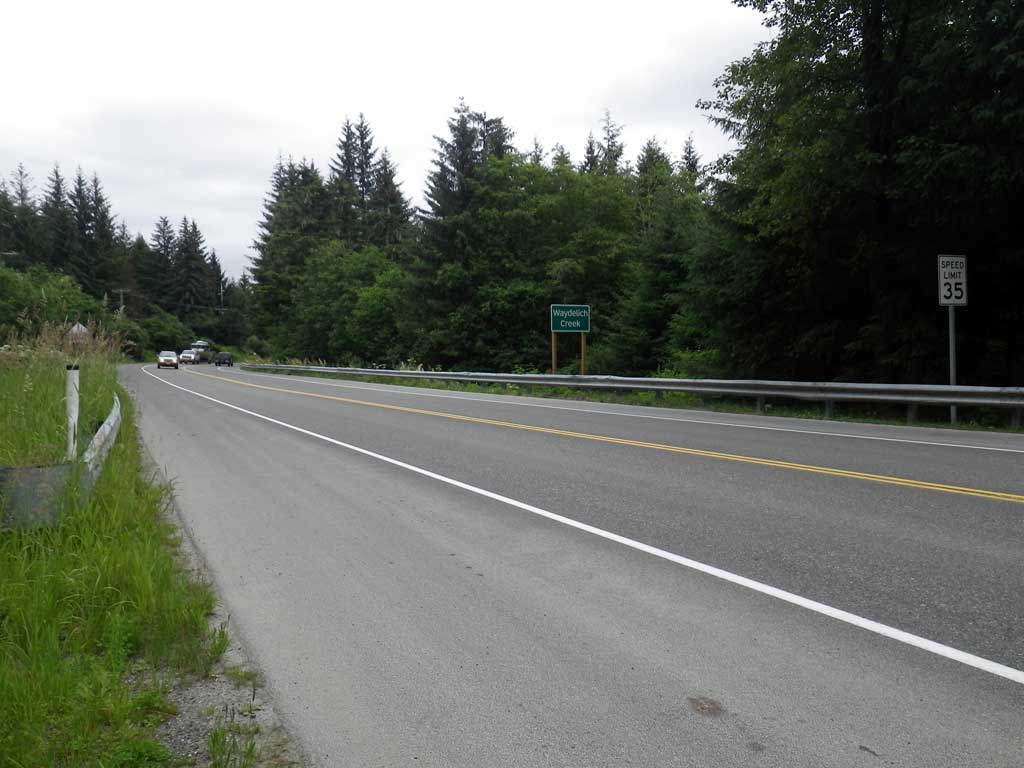
Road Name: Glacier Highway
Datum: NAD83
Quad Name / ITM: Juneau B-2
AWC Stream #:
Stream Name: Waydelich Creek
Elevation:
Site Comments: None
Survey SEA11-GLH17
Project Supervisor: Gillian O'Doherty, Alaska Department of Fish and Game
— Anchorage, AK
Observers: Jason Olds, Charmagne Gutierrez
Overall Fish Passage Rating:
Tidal: No
Backwatered: No
Step Pools: No
Construction Year:
Site Observations:
- Outfall height red
- Constriction ratio gray
- Culvert gradient red
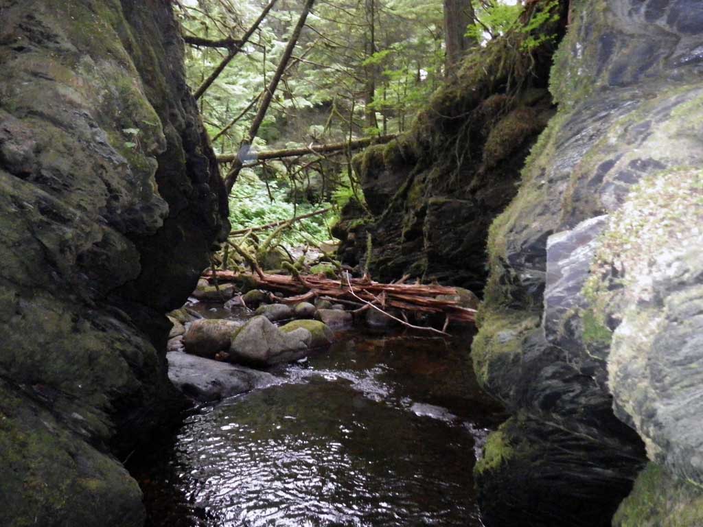
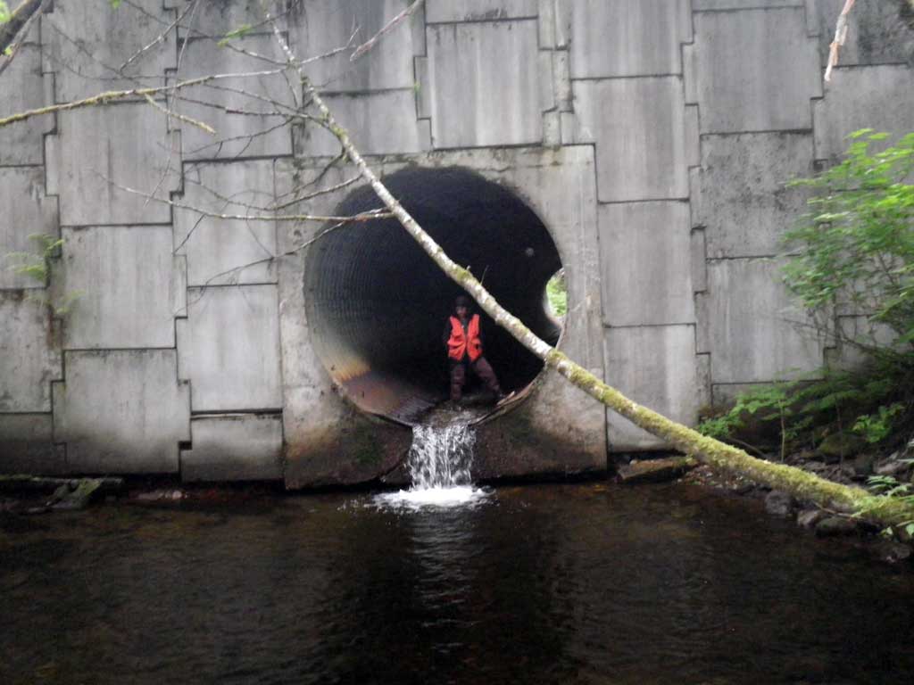
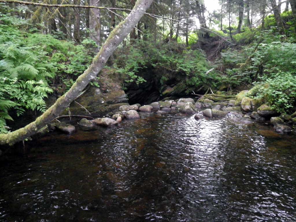
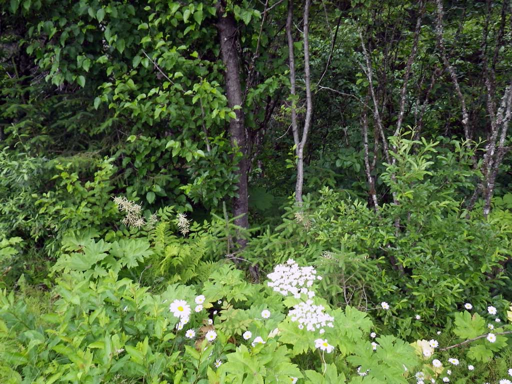
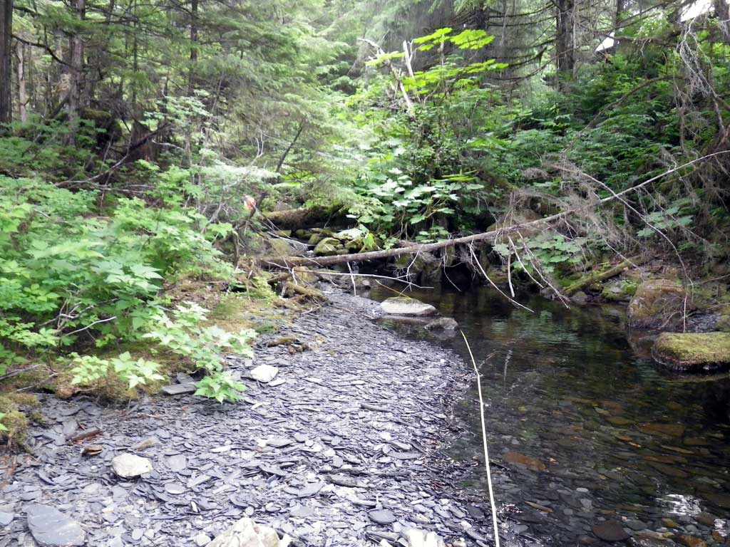
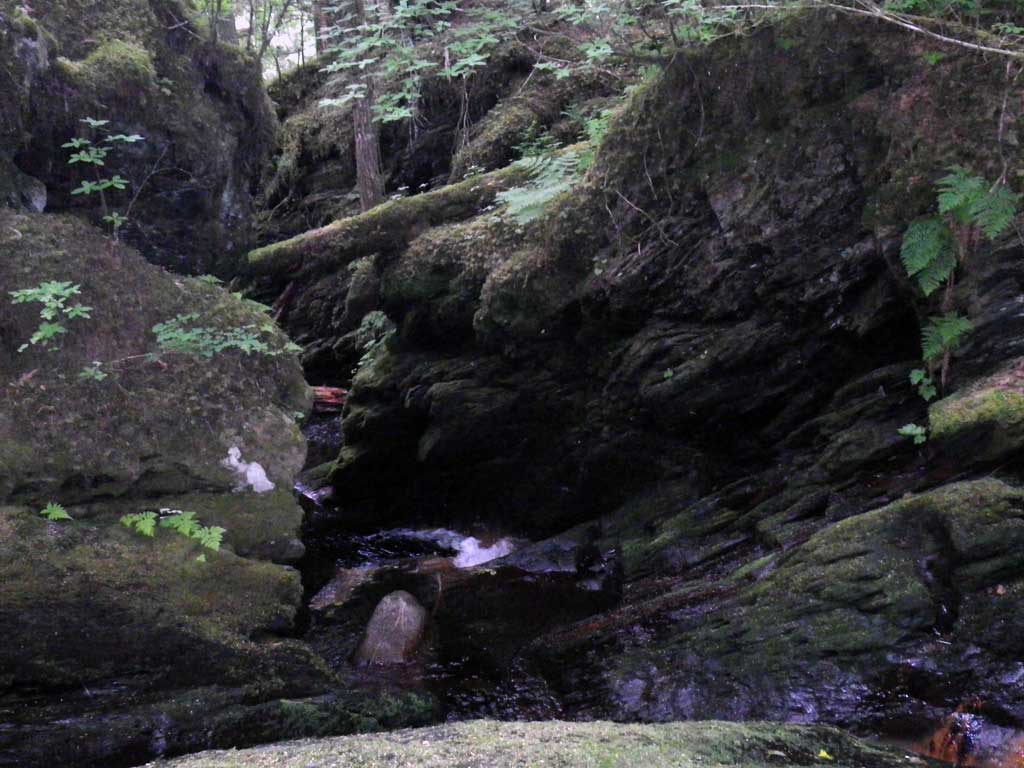
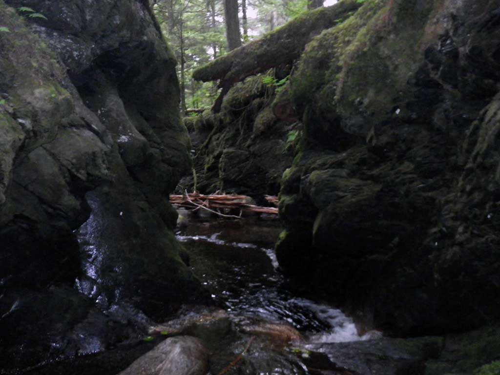
Comments: Fish observed upstream/downstream. Nice habitat upstream ~200 downstream to Auke Bay. Stream gradient calculated at 380 feet upstream of culvert beginning outside influence of culvert at 79 feet upstream for a total of 16.4 x mean OHW, beyond this point became too difficult with large woody debris in stream and foilage.
Culvert Measurements
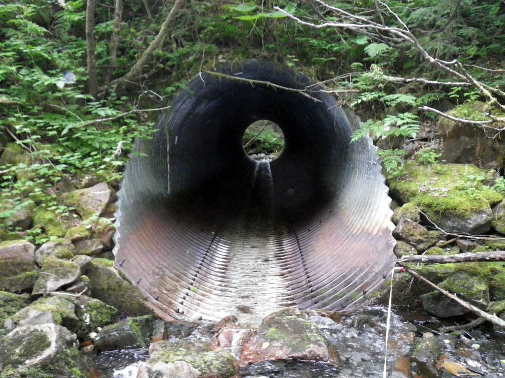
| ID: 1 | Structure Type: Circular pipe (Structural steel plate) | Fish Passage Rating: | |||||||||||||||||||||||||||||||||||||||||
|
|
|
|||||||||||||||||||||||||||||||||||||||||
Culvert Observations:
|
|||||||||||||||||||||||||||||||||||||||||||
Stream Measurements
|
|
| Stream Width Type | Distance From Crossing (ft) |
Stream Width (ft) |
|---|---|---|
| Upstream ordinary high water | 69.0 | 17.80 |
| Upstream ordinary high water | 127.0 | 13.00 |
| Upstream ordinary high water | 176.0 | 26.10 |
Elevations
| Locator ID | Culvert Number |
River Distance (ft)1 |
Distance From Crossing (ft)2 |
Relative Elevation (ft) |
|---|---|---|---|---|
| D/S Tailcrest or 1st Thalweg | 0.00 | 94.38 | ||
| D/S Water Surface Elev | 0.00 | 94.55 | ||
| Outlet Pool Water Elev | 21.00 | 94.62 | ||
| Max Pool Depth | 21.00 | 88.62 | ||
| Outlet Invert | 35.00 | 97.04 | ||
| D/S Water Surface Elev | 35.00 | 97.25 | ||
| Inlet Culvert Invert | 125.00 | 101.67 | ||
| U/S Water Surface Elev | 125.00 | 101.94 | ||
| U/S Headwater | 126.00 | 102.18 | ||
| U/S Grade Ctrl (Thalweg) | 147.00 | 103.51 | ||
| U/S Water Surface Elev | 147.00 | 103.89 |
Notes:
- River distance is measured continuously throughout the survey reach along the thalweg of the stream.
- Measured from each end of the crossing along the thalweg of the stream.
Fish Sampling Efforts
| Gear Type: Visual Observation, Ground (A) | ||
| Channel Type: Main Channel (>50% of water flow) | ||
| Comments: Unidentified fish observed upstream and downstream from culvert | ||
| Gear Type: Visual Observation, Ground (B) | Trap Duration(h): 30.0 | |
| Channel Type: Main Channel (>50% of water flow) | ||
| Gear Type: (C) | ||
Fish Observations
No fish observations occurred during this survey.
Photos
Questions or comments about this report can be directed to dfg.dsf.webmaster@alaska.gov