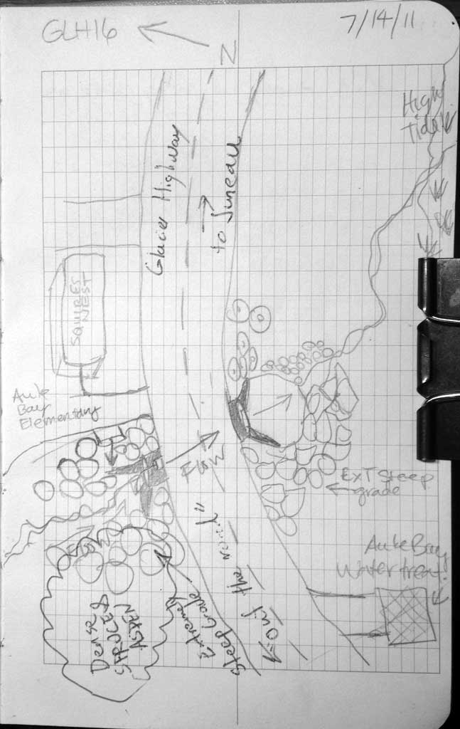
Fish Passage Site 10302211
Coordinates (dec. deg.): 58.38741°, -134.64822°
Legal Description: C040S065E22
Region: Southeast
Road Name: Glacier Highway
Datum: NAD83
Quad Name / ITM: Juneau B-2
AWC Stream #:
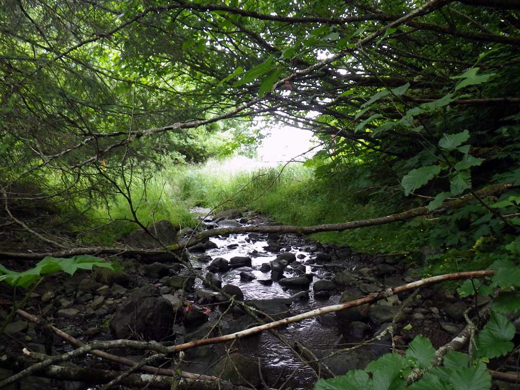
Stream Name: Bay Creek
Elevation:
Site Comments: None
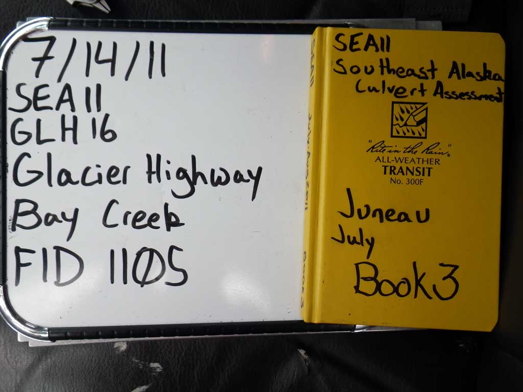
Survey SEA11-GLH16
Project Supervisor: Gillian O'Doherty, Alaska Department of Fish and Game
— Anchorage, AK
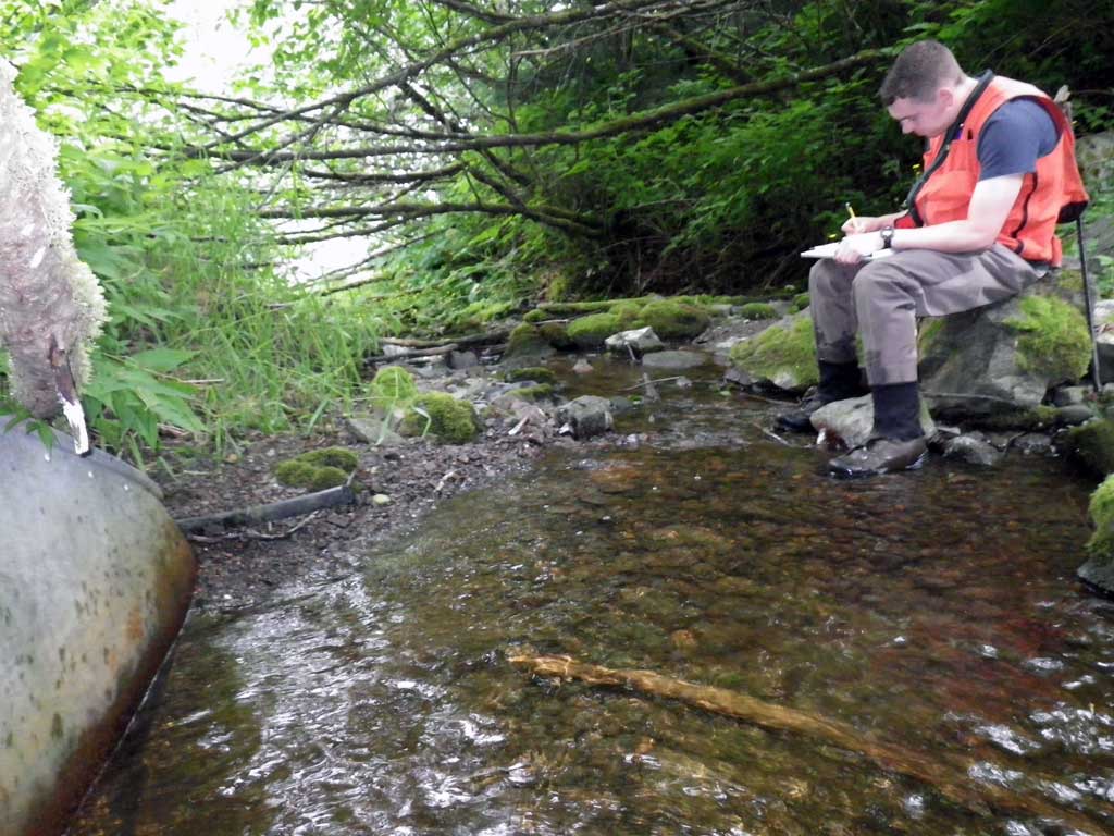
Observers: Jason Olds, Charmagne Gutierrez
Overall Fish Passage Rating:
Tidal: No
Backwatered: No
Step Pools: No
Construction Year:
Site Observations:
- Constriction ratio gray
- Mechanical damage or joints parting
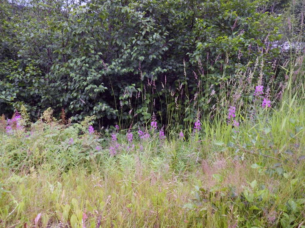
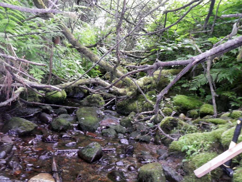
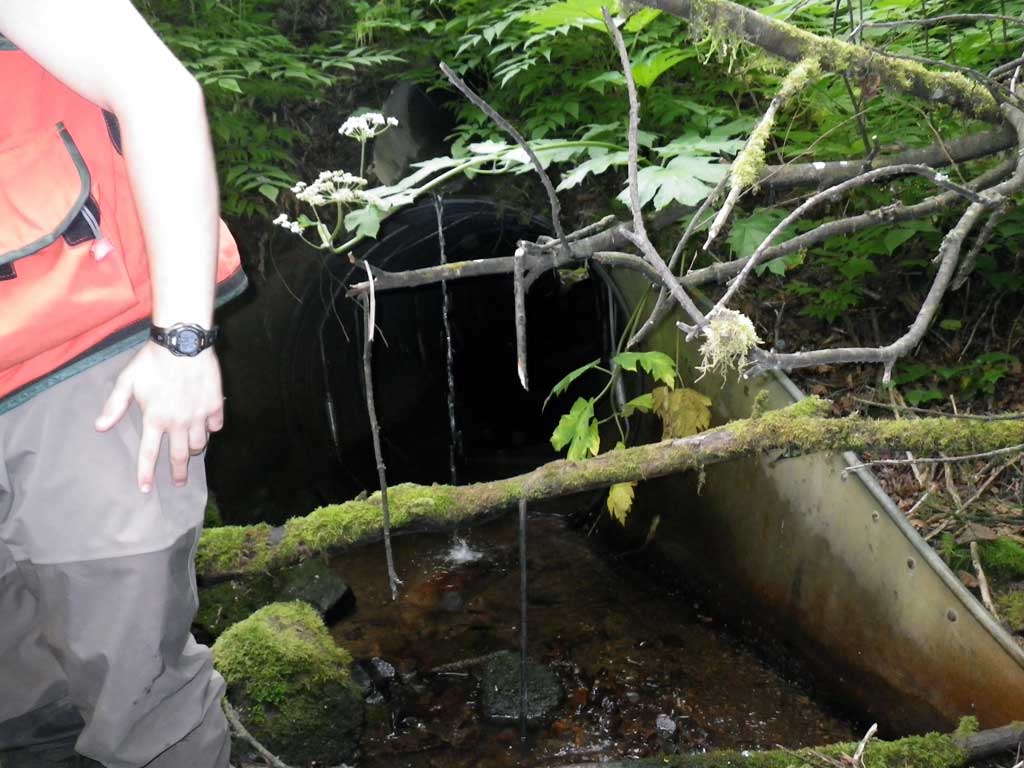
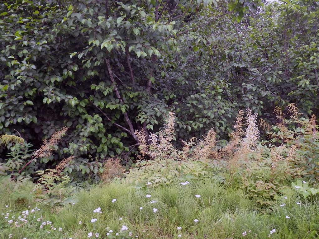
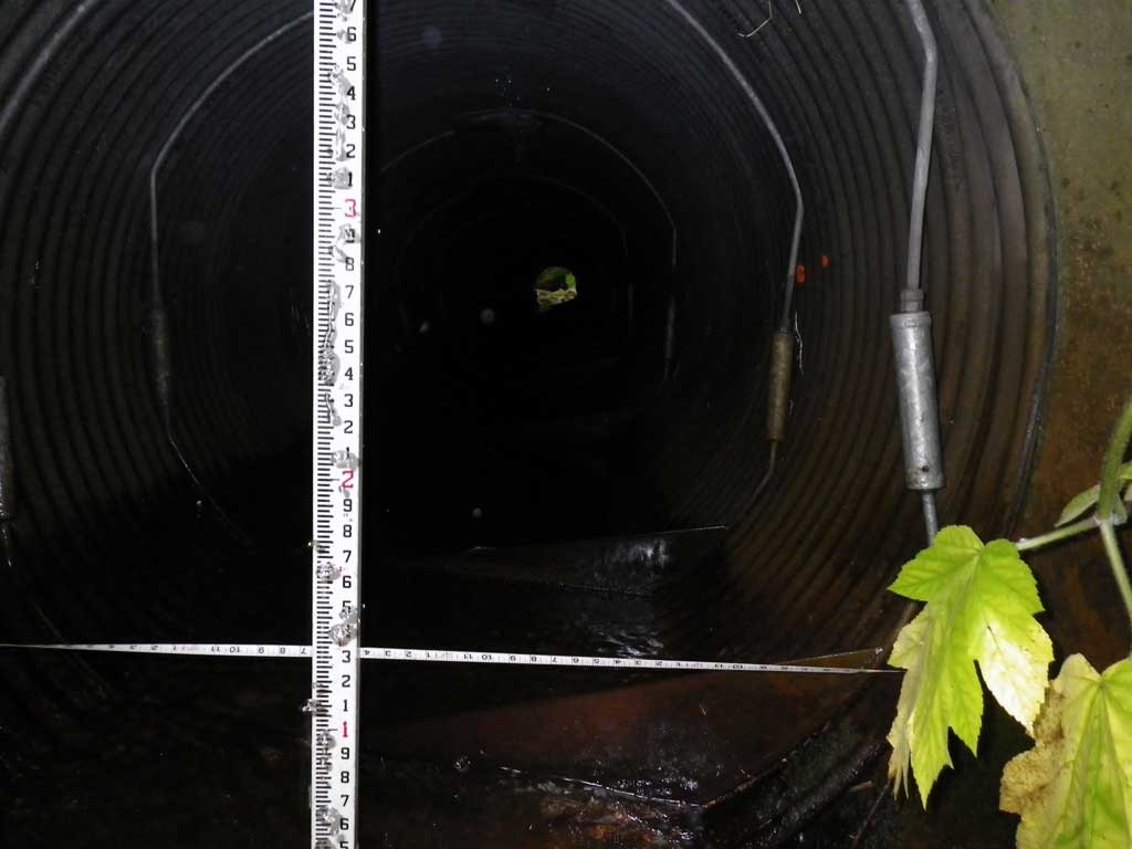
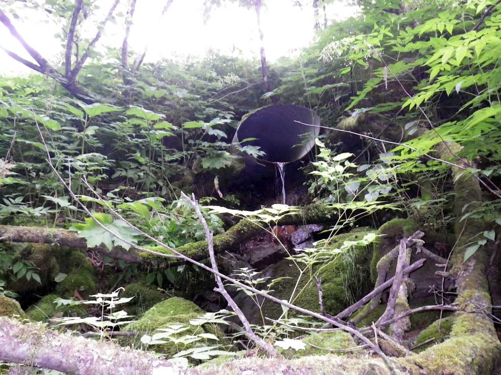
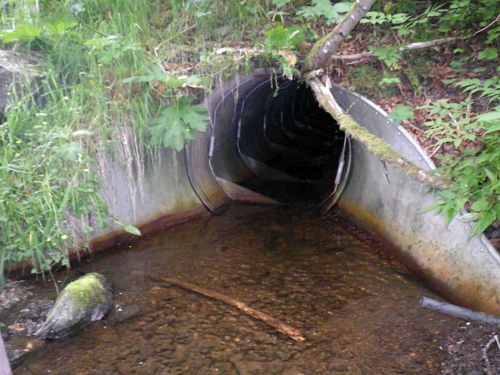
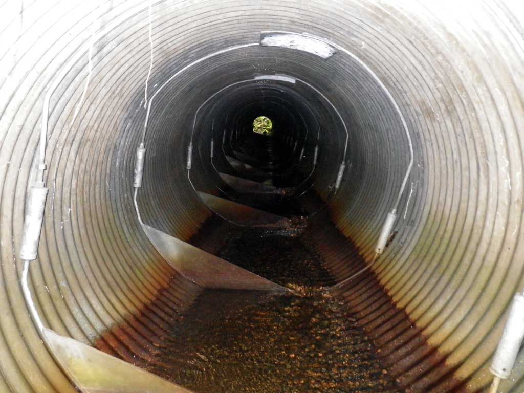
Comments: Could not shoot for safety concerns. Access to invert in only by walking through pipe. Baffled and unable to shoot through pipe. Extremly steep grade up hills from invert in. Fish observed at outlet and inlet. Channelized DS/US Outlet adjacent to Auke Bay wastewater treatment ~100' Upstream of Auke Bay. *Water depth at outlet estimated with Survey Rod
Culvert Measurements
| ID: 1 | Structure Type: Circular pipe (Corrugated steel) | Fish Passage Rating: | |||||||||||||||||||||||||||||||||||||||||
|
|
|
|||||||||||||||||||||||||||||||||||||||||
Culvert Observations:
|
|||||||||||||||||||||||||||||||||||||||||||
Stream Measurements
|
|
| Stream Width Type | Distance From Crossing (ft) |
Stream Width (ft) |
|---|---|---|
| Upstream ordinary high water | 57.0 | 6.10 |
| Upstream ordinary high water | 98.0 | 9.40 |
| Upstream ordinary high water | 126.0 | 6.30 |
Elevations
No elevation data available.
Fish Sampling Efforts
| Gear Type: Visual Observation, Ground (A) | ||
| Channel Type: Main Channel (>50% of water flow) | ||
| Comments: Unidentified fish observed upstream and downstream from culvert. | ||
| Gear Type: Visual Observation, Ground (B) | ||
| Channel Type: Main Channel (>50% of water flow) | ||
| Gear Type: Visual Observation, Ground (A) | ||
Fish Observations
No fish observations occurred during this survey.
Photos

Questions or comments about this report can be directed to dfg.dsf.webmaster@alaska.gov