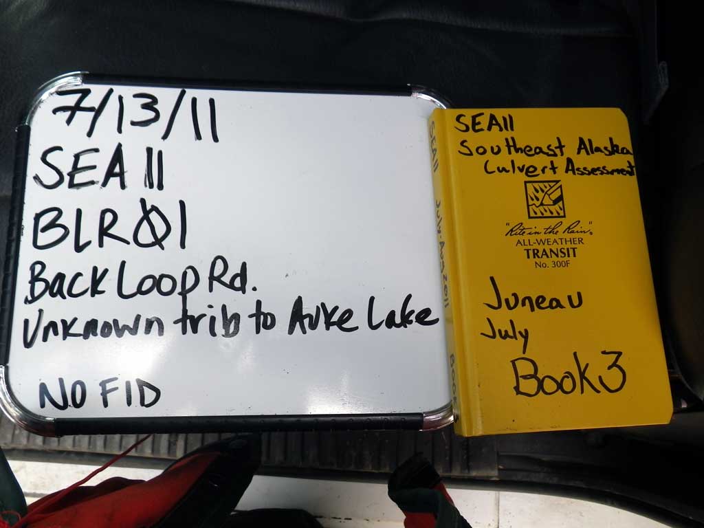
Fish Passage Site 10302209
Coordinates (dec. deg.): 58.39183°, -134.63634°
Legal Description: C040S065E23
Region: Southeast
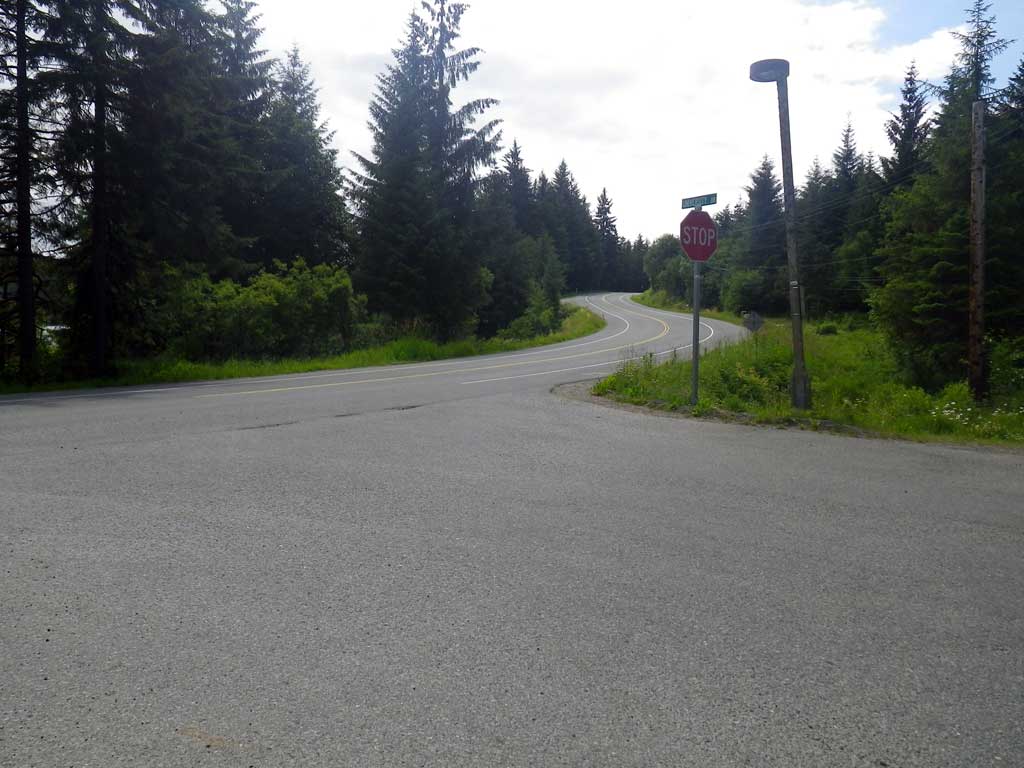
Road Name: Back Loop Road
Datum: NAD83
Quad Name / ITM: Juneau B-2
AWC Stream #:
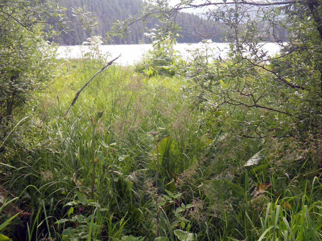
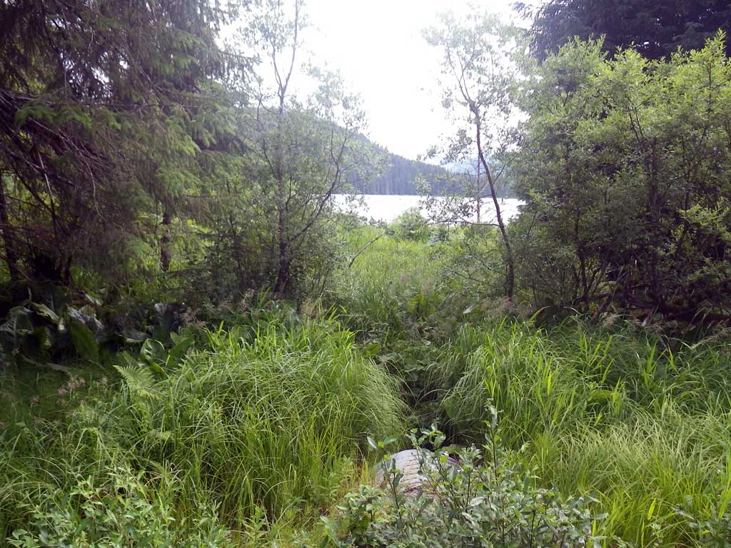
Stream Name: Auke Lake tributary
Elevation:
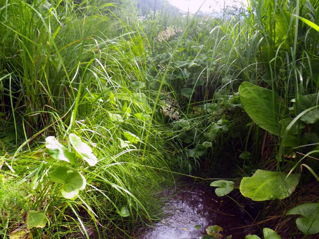
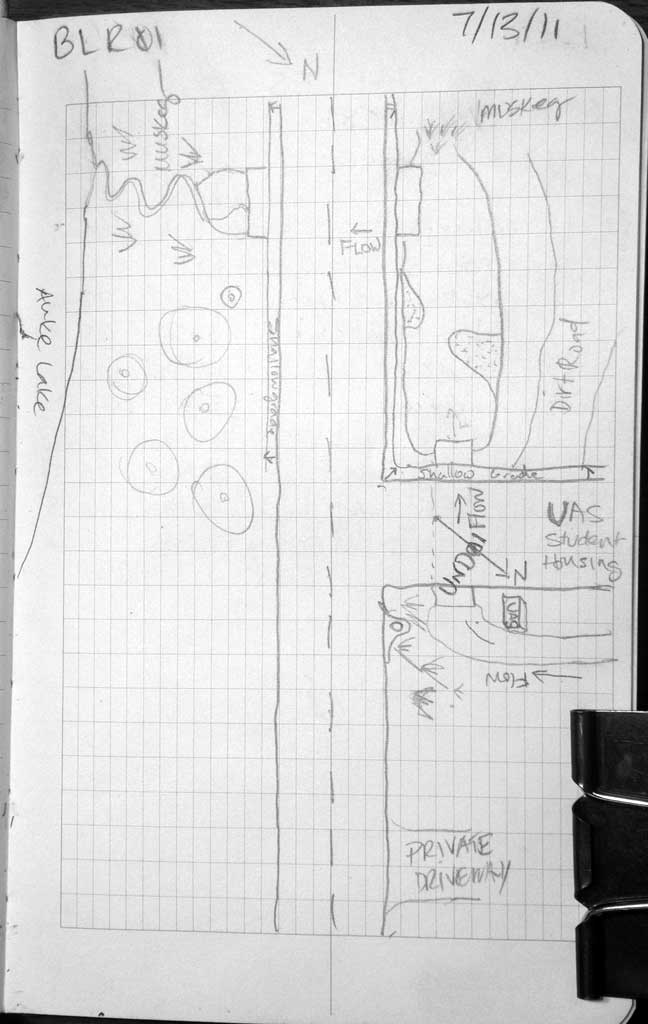
Site Comments: Site is about 15 feet downstream from UND01
Survey SEA11-BLR01
Project Supervisor: Gillian O'Doherty, Alaska Department of Fish and Game
— Anchorage, AK
Observers: Jason Olds, Charmagne Gutierrez
Overall Fish Passage Rating:
Tidal: No
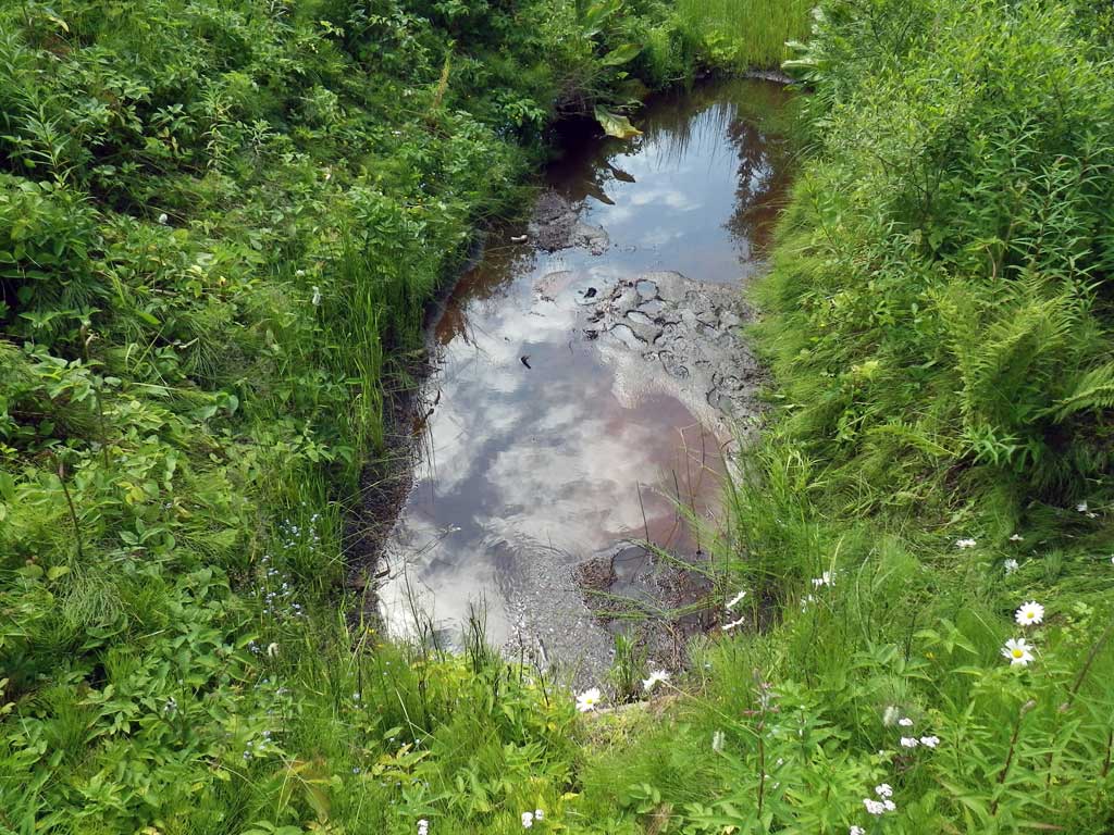
Backwatered: Yes
Step Pools: No
Construction Year:
Site Observations:
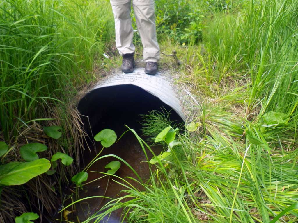
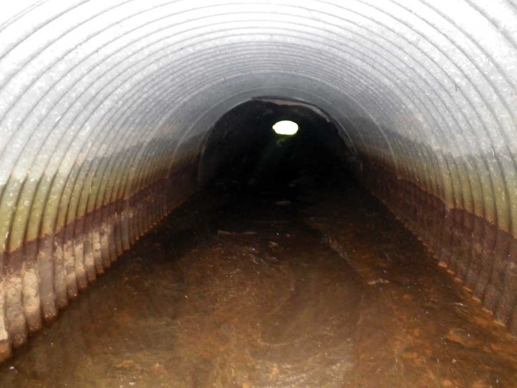
- Road Fill (pushed off road by grader)
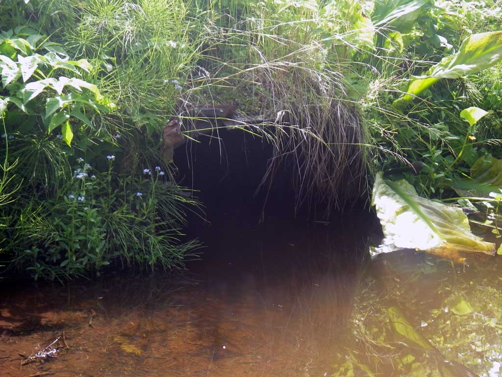
- Culvert is poorly aligned
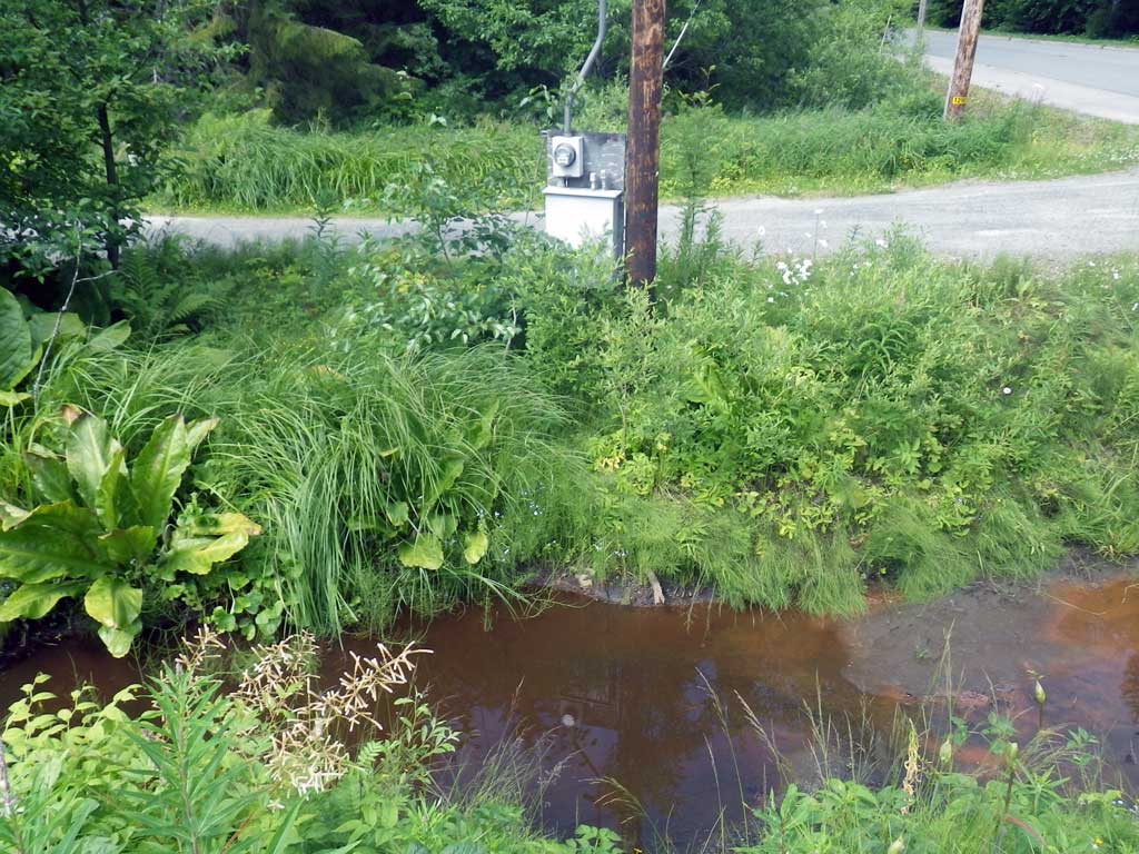
Comments: Muskeg ditch/drain system to Auke Lake. Highly urbanized area.
Culvert Measurements
| ID: 1 | Structure Type: Circular pipe (Corrugated steel) | Fish Passage Rating: | ||||||||||||||||||||||||||||||||||||||||||
|
|
|
||||||||||||||||||||||||||||||||||||||||||
Comments: ~15' DS UND01 Muskeg ditch drain system to Auke Lake, highly urbanized: No stream width taken. * Stream grade near zero. Tailwater control grade point higher than invert inlet making site backwatered. |
||||||||||||||||||||||||||||||||||||||||||||
Culvert Observations:
|
||||||||||||||||||||||||||||||||||||||||||||
Stream Measurements
|
|
No stream width data available.
Elevations
| Locator ID | Culvert Number |
River Distance (ft)1 |
Distance From Crossing (ft)2 |
Relative Elevation (ft) |
|---|---|---|---|---|
| Road Elev | 100.00 | |||
| D/S Tailcrest or 1st Thalweg | 0.00 | 95.00 | ||
| D/S Water Surface Elev | 0.00 | 95.21 | ||
| Max Pool Depth | 6.00 | 95.71 | ||
| Outlet Pool Water Elev | 6.00 | 95.17 | ||
| D/S Water Surface Elev | 10.00 | 95.19 | ||
| Outlet Thalweg | 10.00 | 94.94 | ||
| Outlet Culvert Top | 10.00 | 97.91 | ||
| U/S Water Surface Elev | 78.90 | 95.37 | ||
| Inlet Thalweg | 78.90 | 94.45 | ||
| Inlet Culvert Top | 78.90 | 96.75 | ||
| U/S Headwater | 79.00 | 95.36 |
Notes:
- River distance is measured continuously throughout the survey reach along the thalweg of the stream.
- Measured from each end of the crossing along the thalweg of the stream.
Fish Sampling Efforts
| Gear Type: None (A) | ||
| Comments: No traps set no fish observed. | ||
Fish Observations
No fish observations occurred during this survey.
Photos
Questions or comments about this report can be directed to dfg.dsf.webmaster@alaska.gov