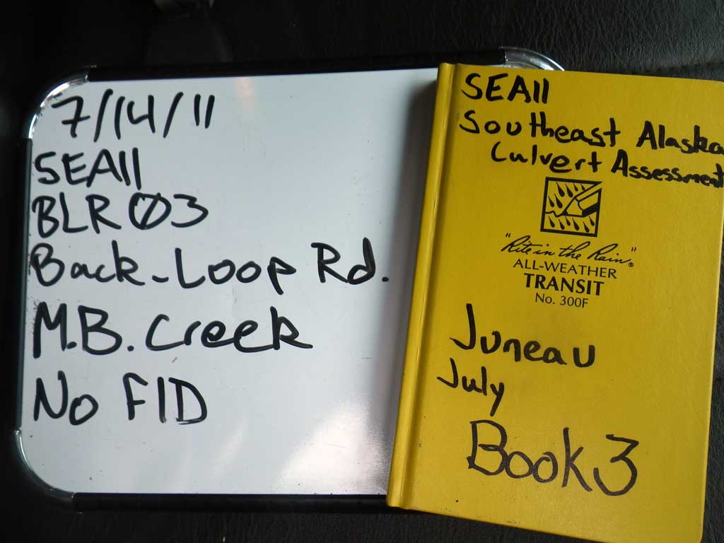
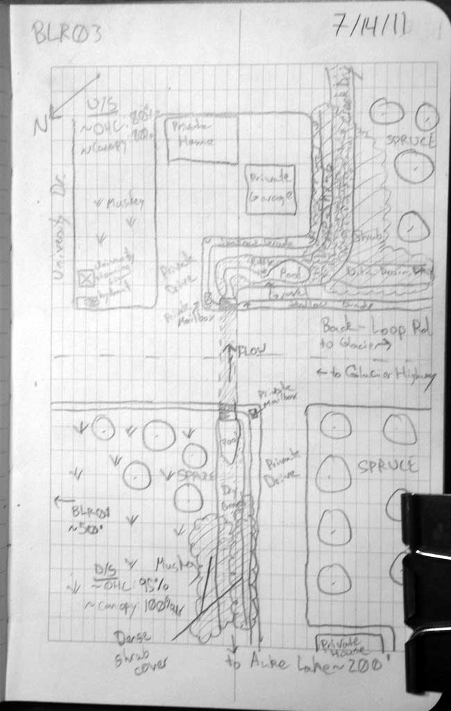
Fish Passage Site 10302207
Coordinates (dec. deg.): 58.39220°, -134.63556°
Legal Description: C040S065E23
Region: Southeast
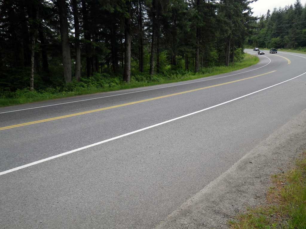
Road Name: Back Loop Road
Datum: NAD83
Quad Name / ITM: Juneau B-2
AWC Stream #:
Stream Name: MB Creek
Elevation:
Site Comments: None
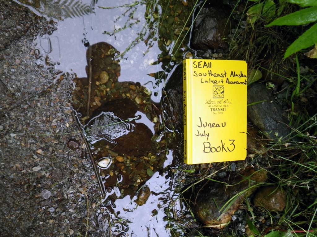
Survey SEA11-BLR03
Project Supervisor: Gillian O'Doherty, Alaska Department of Fish and Game
— Anchorage, AK
Observers: Jason Olds, Charmagne Gutierrez
Overall Fish Passage Rating:
Tidal: No
Backwatered: No
Step Pools: No
Construction Year:
Site Observations:
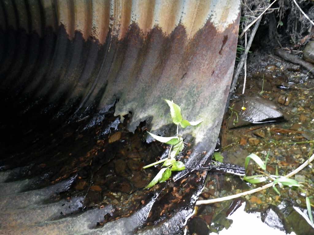
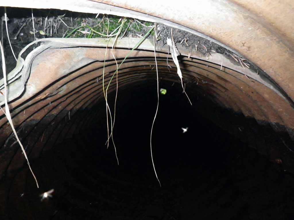
- Culvert gradient red
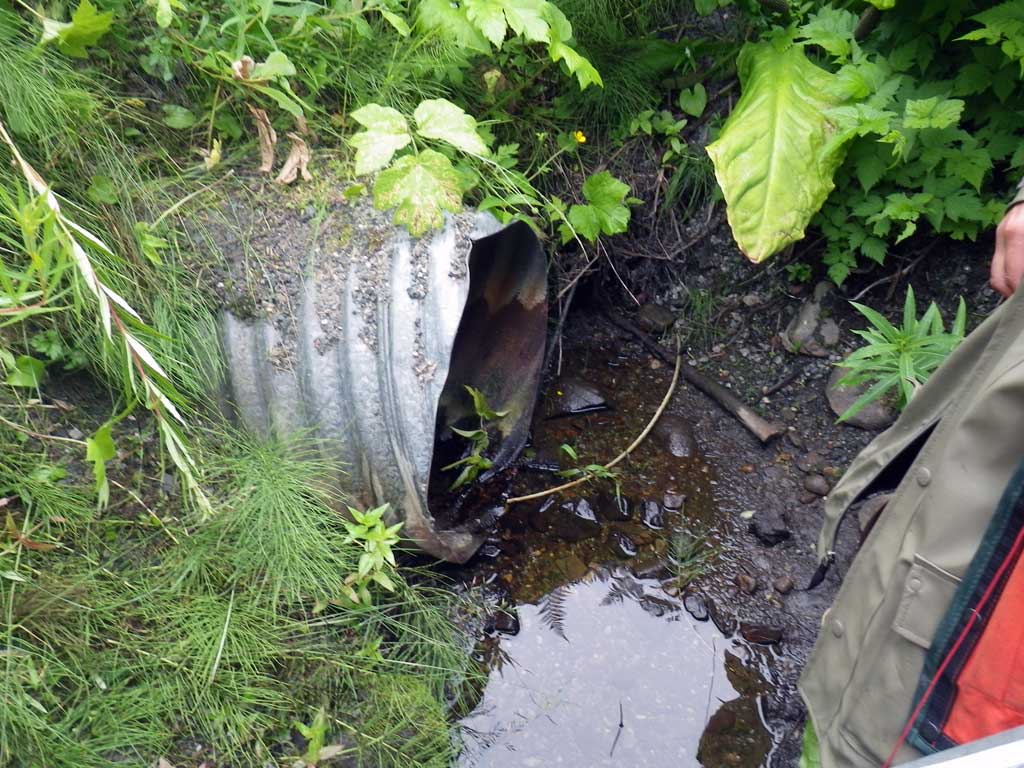
- Road Fill (pushed off road by grader)
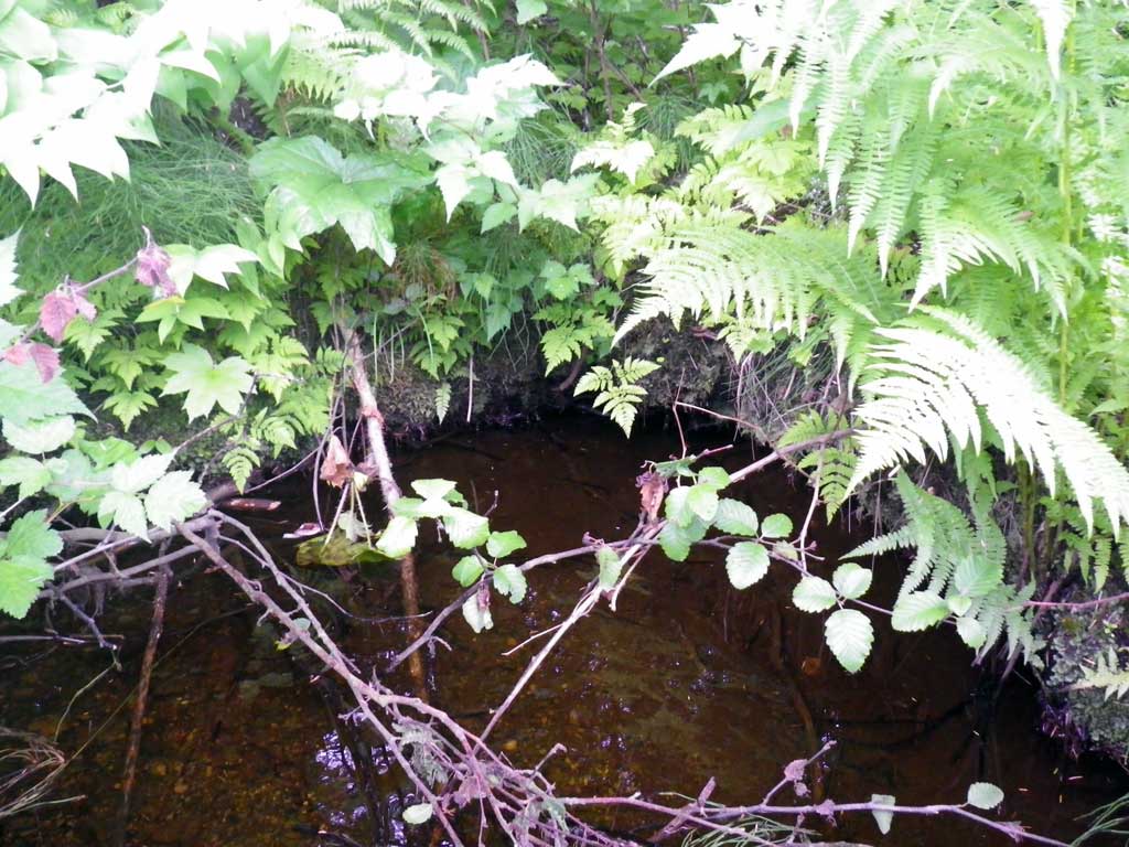
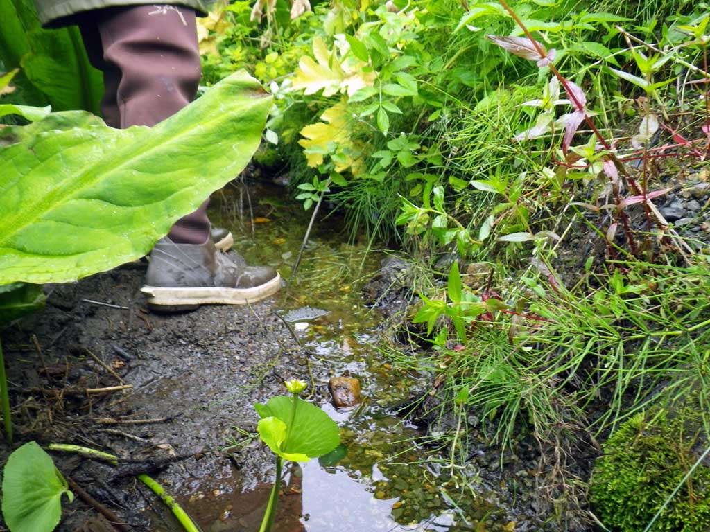
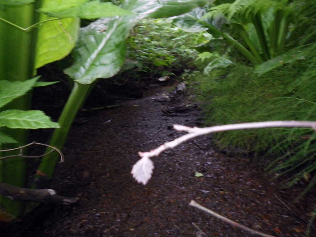
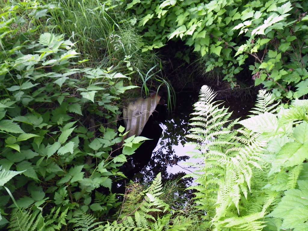
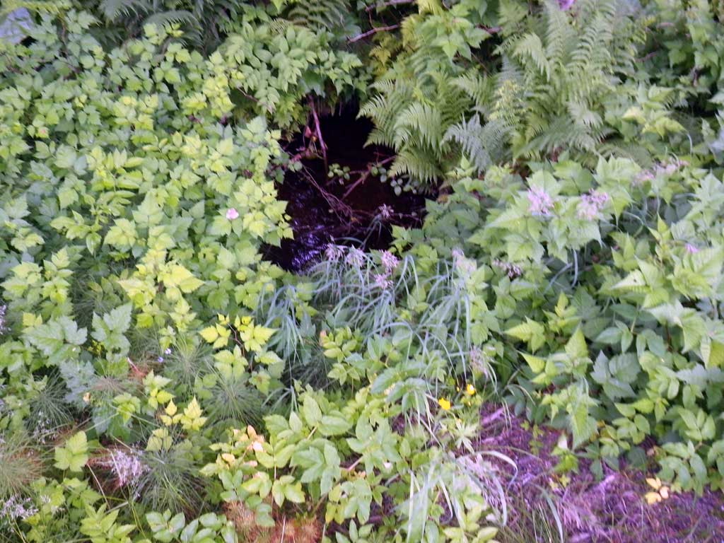
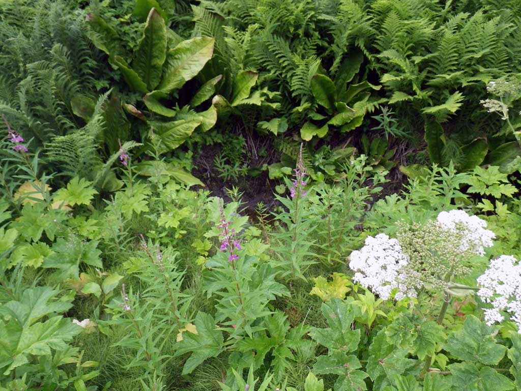
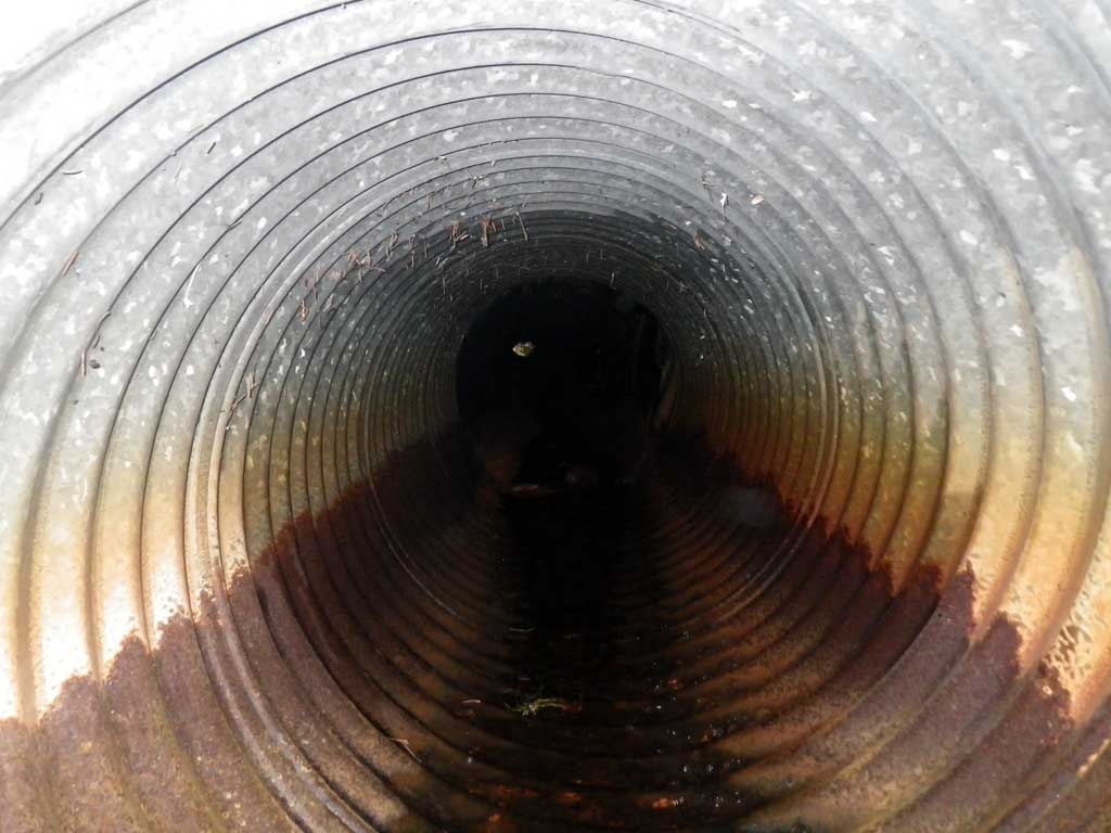
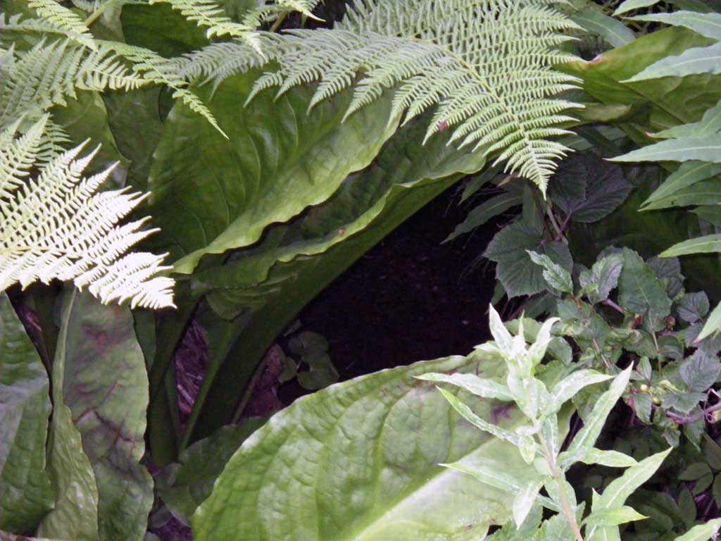
Comments: Fry visually observed upstream/downstream. Site is a ditch drainage to Auke Lake on Backloop Rd. Outlet damage from snow removal. Stream nearly flat water; mostly dry. US/DS. Stream grade ommited with dense foliage upstream and dry channel. *CR ommited, channelized; urban and muskeg US/DS.
Culvert Measurements
| ID: 1 | Structure Type: Circular pipe (Corrugated steel) | Fish Passage Rating: | |||||||||||||||||||||||||||||||||||||||||
|
|
|
|||||||||||||||||||||||||||||||||||||||||
Comments: Fry visually observed upstream/downstream ditch drainage on Backloop Rd. Outlet damage from snow removal. Stream nearly flat water; mostly dry. US/DS, muskeg/ditch drain to Auke Lake. Stream grade ommited with dense foliage US and dry channel. *CR ommited, channelized; urban and muskeg US/DS. |
|||||||||||||||||||||||||||||||||||||||||||
Culvert Observations:
|
|||||||||||||||||||||||||||||||||||||||||||
Stream Measurements
|
|
No stream width data available.
Elevations
| Locator ID | Culvert Number |
River Distance (ft)1 |
Distance From Crossing (ft)2 |
Relative Elevation (ft) |
|---|---|---|---|---|
| Road Elev | 100.00 | |||
| D/S Tailcrest or 1st Thalweg (DRY) | 0.00 | 93.58 | ||
| Max Pool Depth | 7.00 | 92.52 | ||
| Outlet Pool Water Elev | 7.00 | 93.54 | ||
| D/S Water Surface Elev | 10.00 | 93.54 | ||
| Outlet Invert | 10.00 | 92.57 | ||
| Outlet Culvert Top | 10.00 | 94.47 | ||
| Inlet Culvert Top | 79.40 | 95.95 | ||
| Inlet Culvert Invert (DRY) | 79.40 | 93.93 | ||
| U/S Headwater | 80.00 | 93.90 | ||
| U/S Grade Ctrl (Thalweg) | 83.00 | 93.91 | ||
| U/S Water Surface Elev | 83.00 | 93.95 |
Notes:
- River distance is measured continuously throughout the survey reach along the thalweg of the stream.
- Measured from each end of the crossing along the thalweg of the stream.
Fish Sampling Efforts
| Gear Type: Visual Observation, Ground (A) | Trap Duration(h): 30.0 | |
| Channel Type: Main Channel (>50% of water flow) | ||
| Comments: Small unidentified salmonids observed at inlet and outlet | ||
| Gear Type: Visual Observation, Ground (B) | Trap Duration(h): 30.0 | |
| Channel Type: Main Channel (>50% of water flow) | ||
Fish Observations
No fish observations occurred during this survey.
Photos
Questions or comments about this report can be directed to dfg.dsf.webmaster@alaska.gov