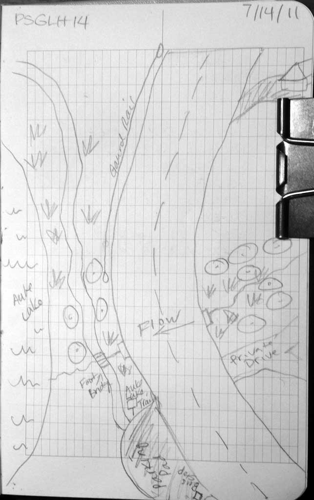
Fish Passage Site 10302205
Coordinates (dec. deg.): 58.38073°, -134.63074°
Legal Description: C040S065E23
Region: Southeast
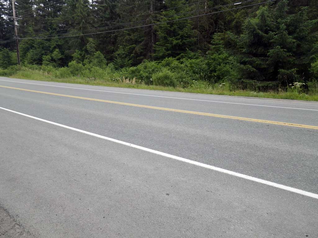
Road Name: Glacier Highway
Datum: NAD83
Quad Name / ITM: Juneau B-2
AWC Stream #:
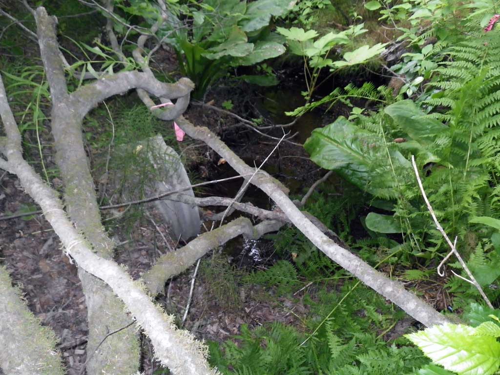
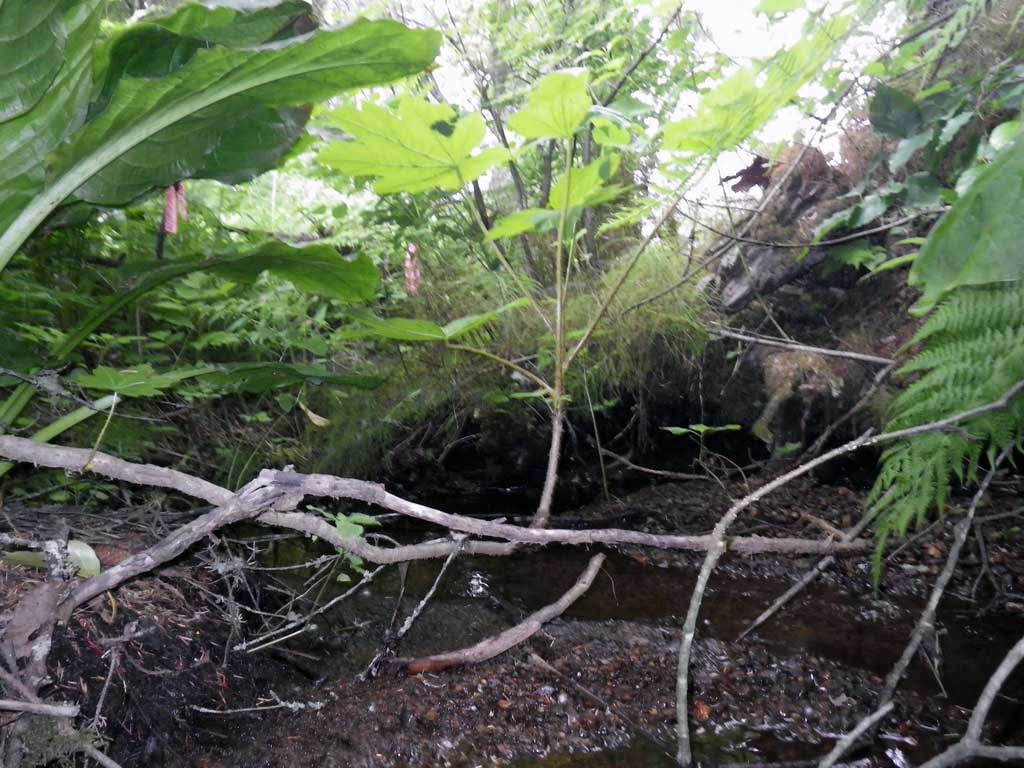
Stream Name: Auke Lake tributary
Elevation:
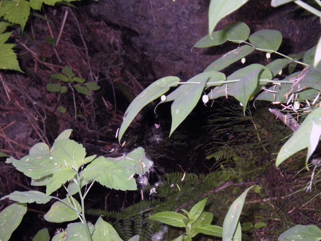
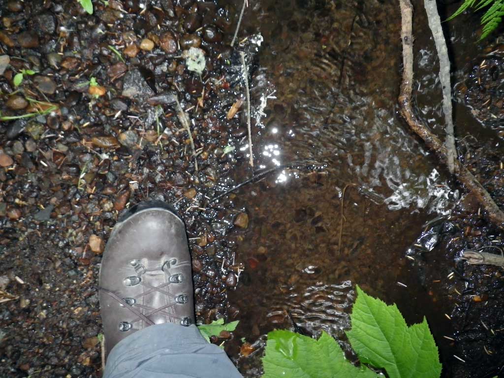
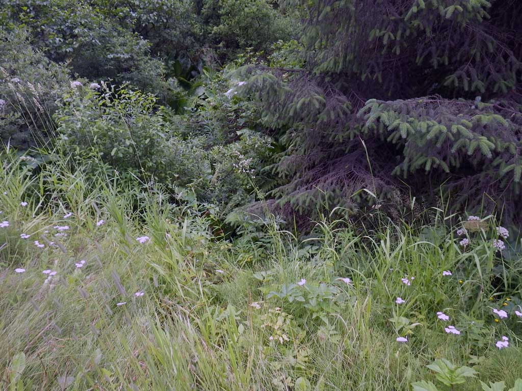
Site Comments: Small creek that empties into Auke Lake around 200 feet downstream.
arrow to the right of the survey date below to choose a different report for this site.
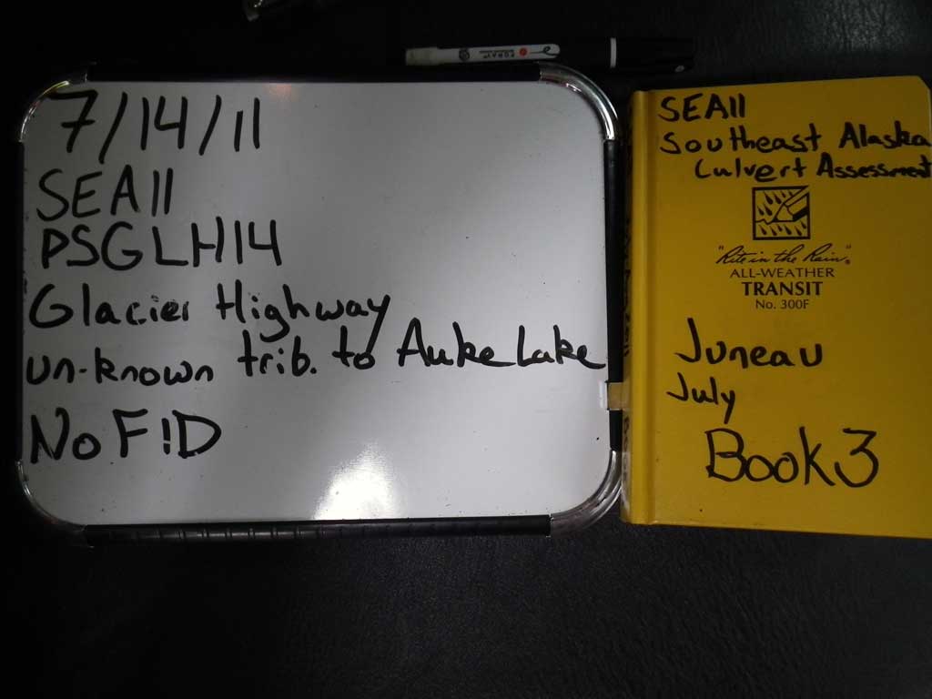
Survey SEA11-PSGLH14
Project Supervisor: Gillian O'Doherty, Alaska Department of Fish and Game
— Anchorage, AK
Observers: Jason Olds, Charmagne Gutierrez
Overall Fish Passage Rating:
Tidal:
Backwatered:
Step Pools:
Construction Year:
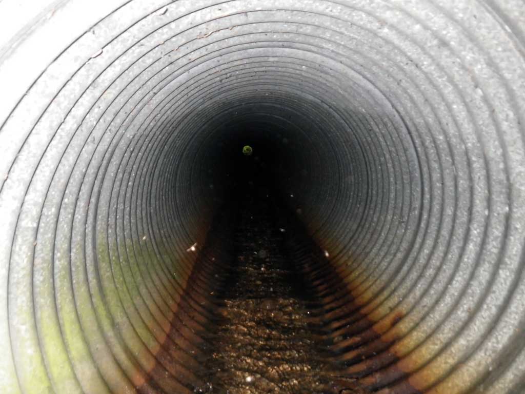
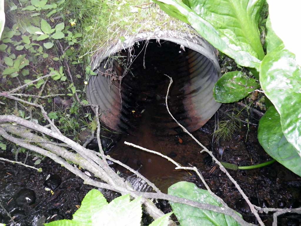
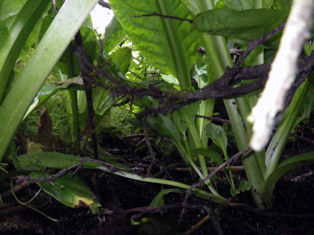
Comments: Heavily vegitated inverts, draining small creek/ditch drain section across extremely busy section of the Glacier Highway. Maybe anadromous. Survey not safe on highway.
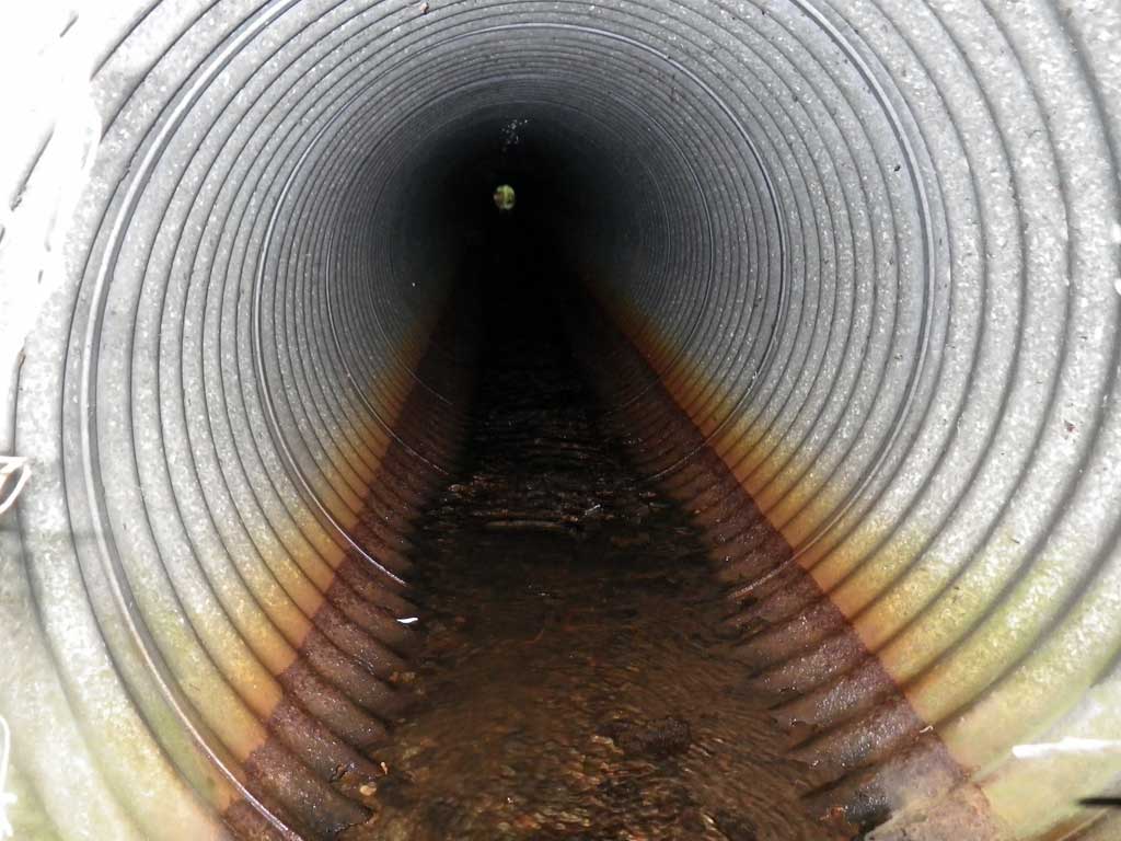
Culvert Measurements
| ID: 1 | Structure Type: Circular pipe (Corrugated steel) | Fish Passage Rating: | |||||||||||||||||||||||||||||||||||||||||
|
|
|
|||||||||||||||||||||||||||||||||||||||||
Stream Measurements
|
|
No stream width data available.
Elevations
No elevation data available.
Fish Sampling Efforts
| Gear Type: None (A) | ||
| Comments: No traps set no fish observed. | ||
Fish Observations
No fish observations occurred during this survey.
Photos
Questions or comments about this report can be directed to dfg.dsf.webmaster@alaska.gov