Fish Passage Site 10302203
Coordinates (dec. deg.): 58.37449°, -134.62177°
Legal Description: C040S065E26
Region: Southeast
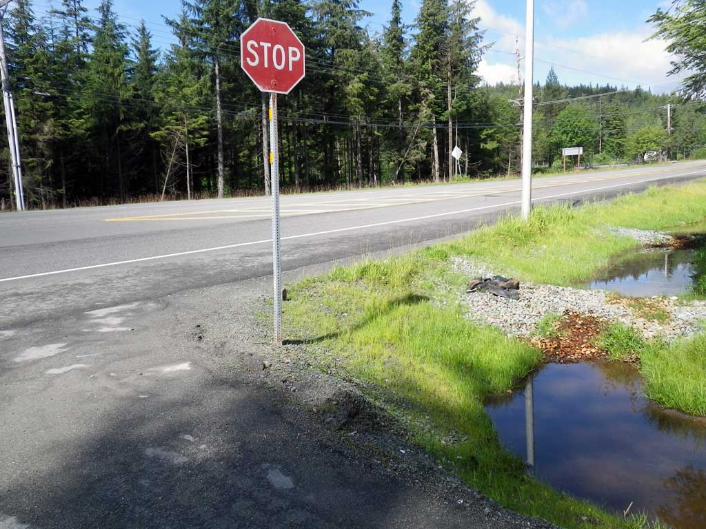
Road Name: Emmanuel Baptist Church
Datum: NAD83
Quad Name / ITM: Juneau B-2
AWC Stream #:
Stream Name: Casa Del Sol tributary
Elevation:
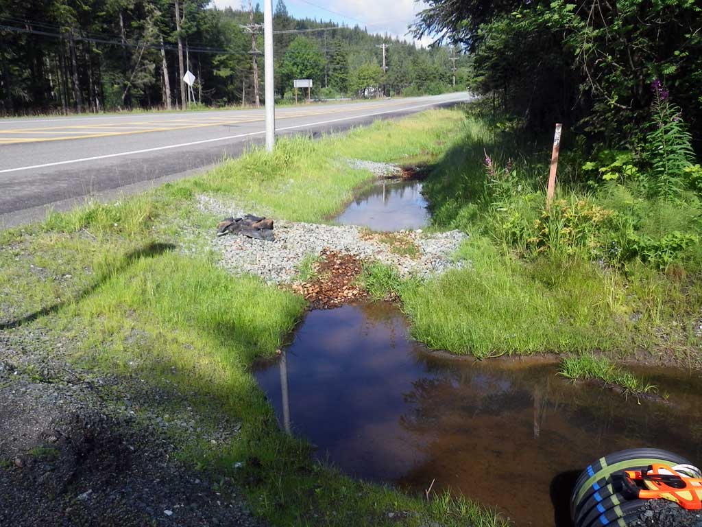
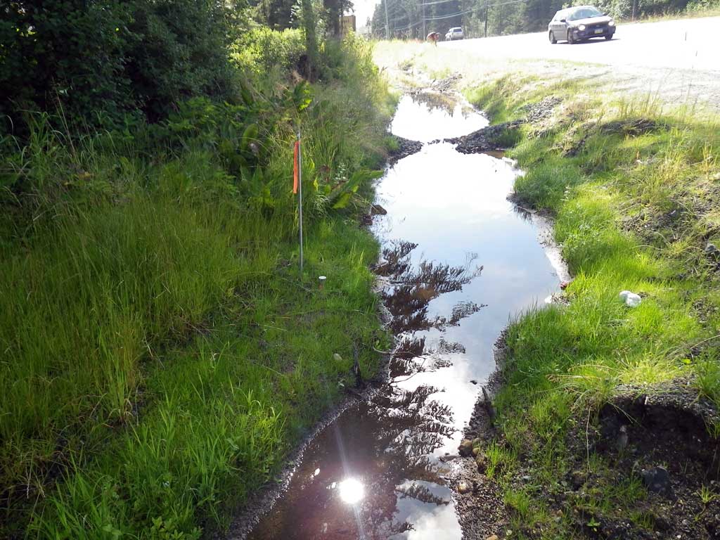
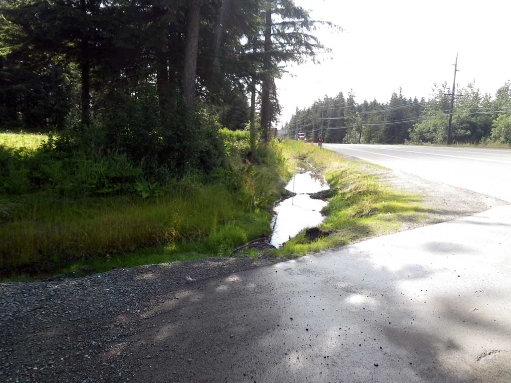
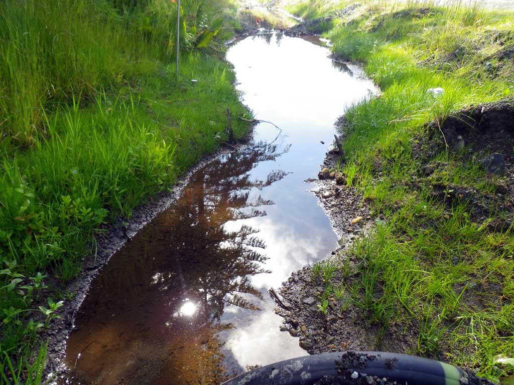
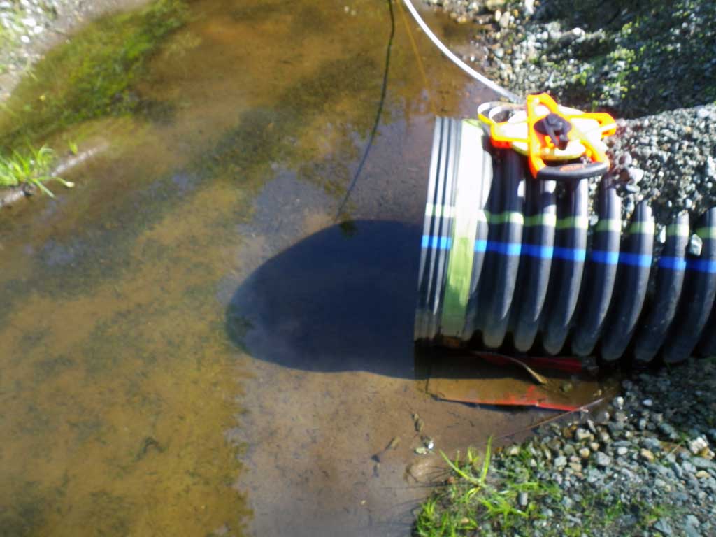
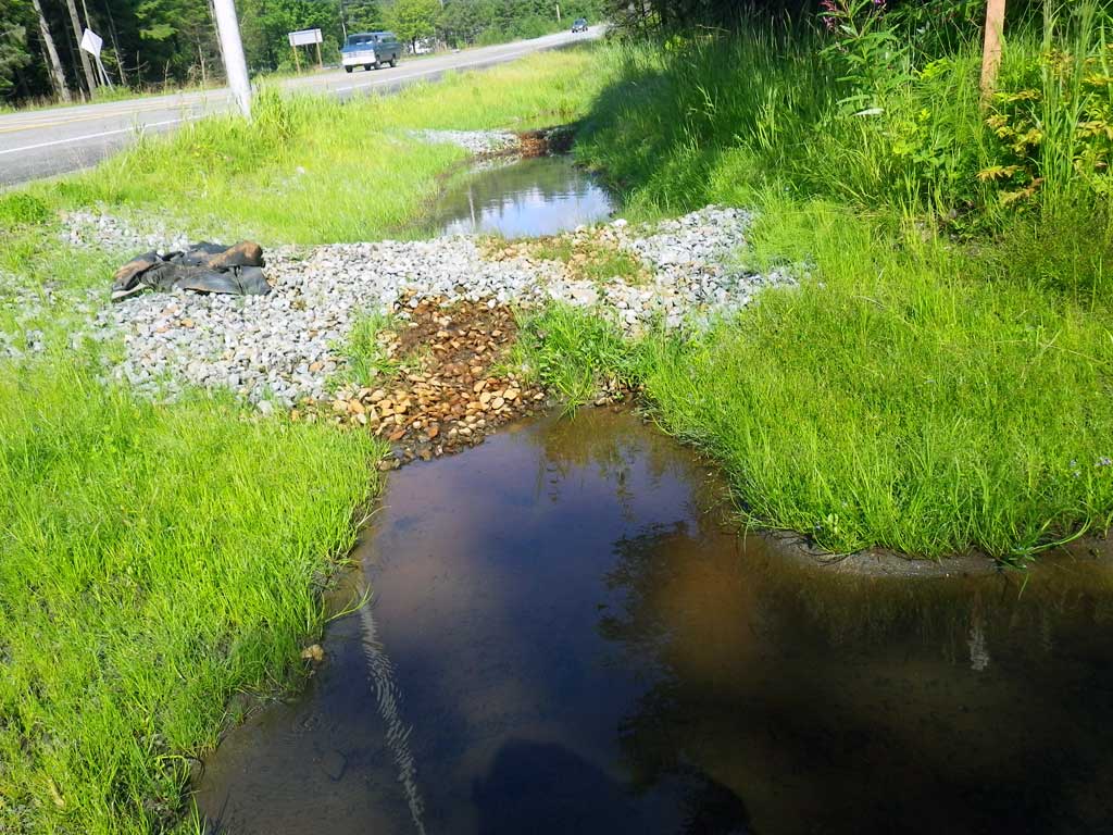
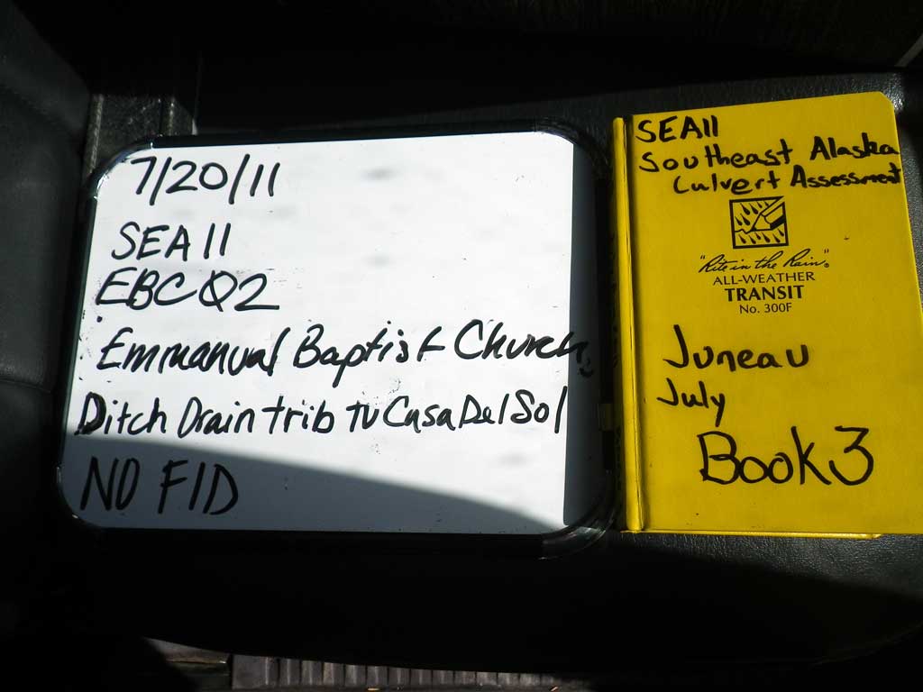
Site Comments: Ditch drain trib to Casa Del Sol. Junenile Coho upstream and downstream near 90 degree approach. Driveway to Emanuel Baptist Church off Glacier Hwy. Additional private drive-EBC01. 100' upstream GLH19 upstream.. 46' mechanically influenced.
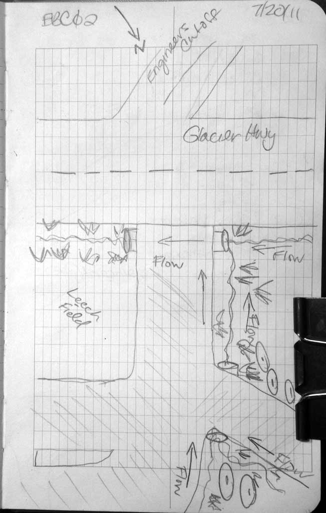
Survey SEA11-ebc02
Project Supervisor: Gillian O'Doherty, Alaska Department of Fish and Game
— Anchorage, AK
Observers: Jason Olds, Charmagne Gutierrez
Overall Fish Passage Rating:
Tidal: No
Backwatered: Yes
Step Pools: No
Construction Year:
Site Observations:
- None of this type
Comments: None
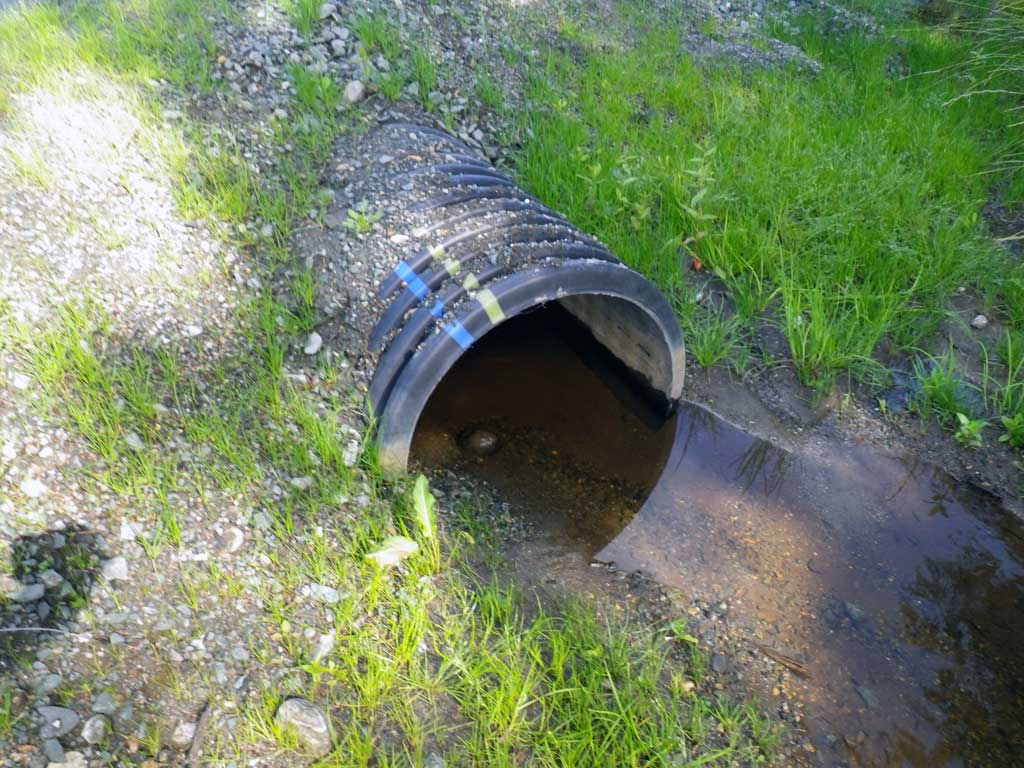
Culvert Measurements
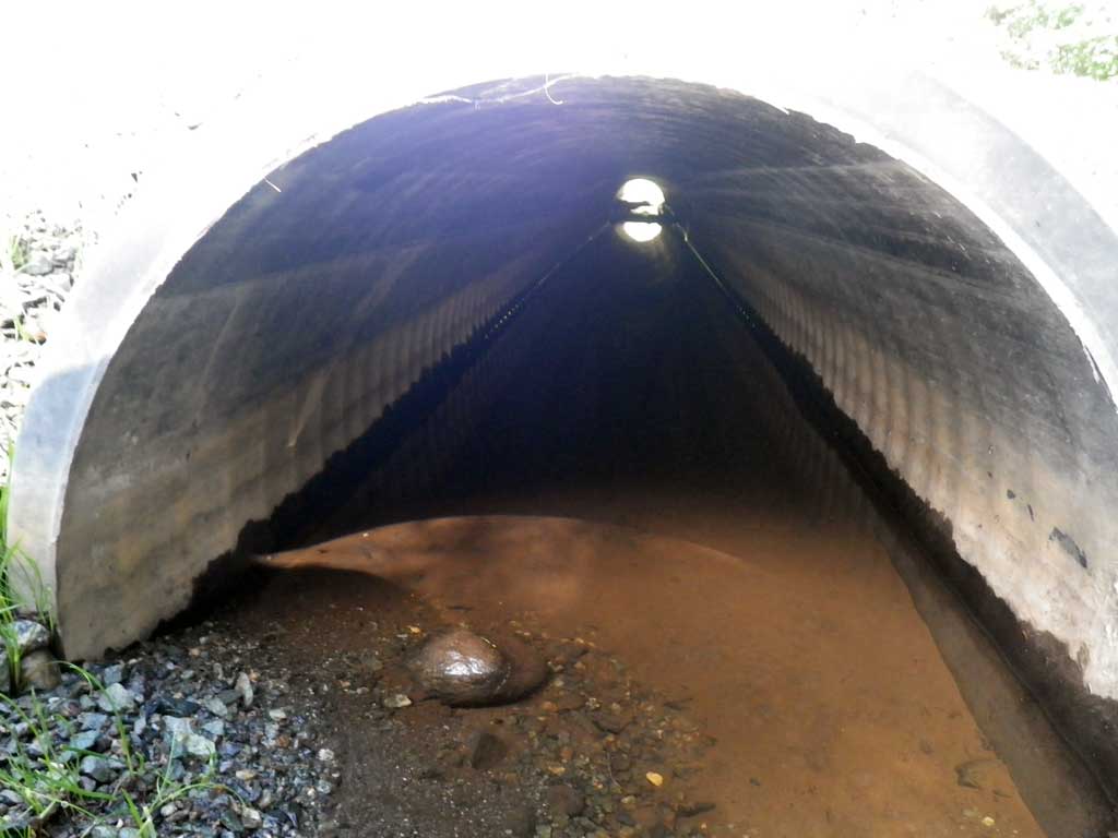
| ID: 1 | Structure Type: Circular pipe (Corrugated plastic) | Fish Passage Rating: | |||||||||||||||||||||||||||||||||||||||||
|
|
|
|||||||||||||||||||||||||||||||||||||||||
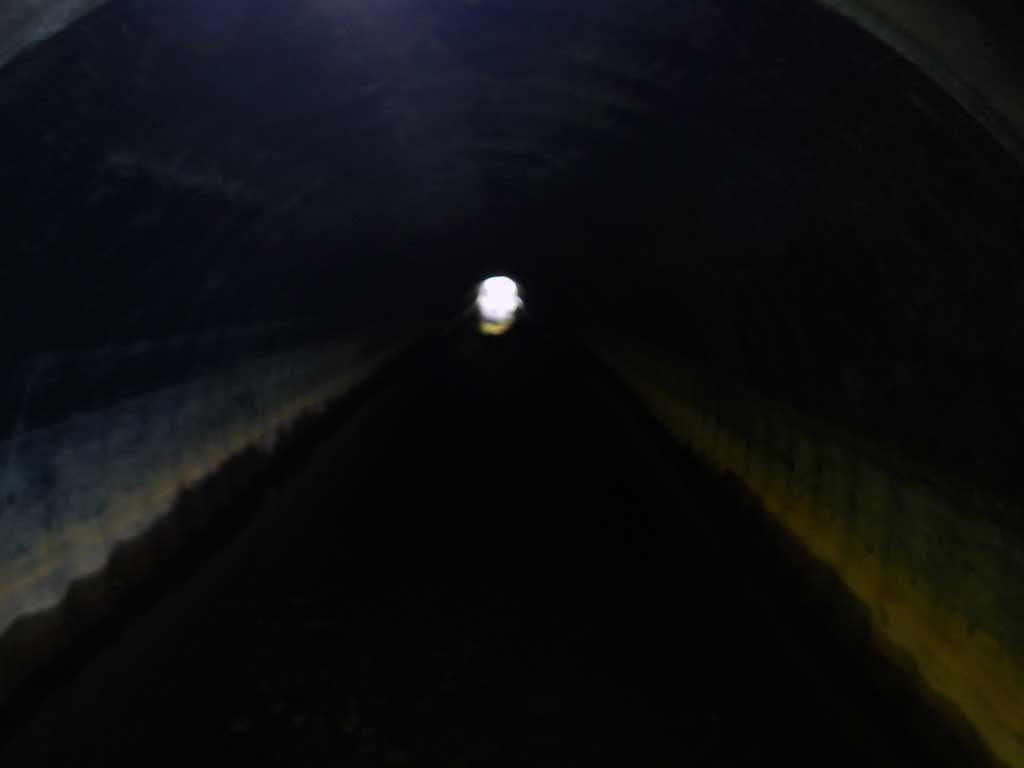
Comments: Smooth Bore Plastic Culvert. |
|||||||||||||||||||||||||||||||||||||||||||
Stream Measurements
|
|
No stream width data available.
Elevations
| Locator ID | Culvert Number |
River Distance (ft)1 |
Distance From Crossing (ft)2 |
Relative Elevation (ft) |
|---|---|---|---|---|
| Road Elev | 98.80 | |||
| D/S Tailcrest or 1st Thalweg | 0.00 | 96.46 | ||
| D/S Water Surface Elev | 0.00 | 96.55 | ||
| Outlet Pool Water Elev | 6.00 | 96.56 | ||
| Max Pool Depth | 6.00 | 95.92 | ||
| D/S Water Surface Elev (Invert out) | 29.00 | 96.53 | ||
| Outlet Thalweg (Invert on, on substrate) | 29.00 | 96.55 | ||
| Outlet Culvert Top (Invert out, on pipe) | 29.00 | 97.94 | ||
| Inlet Culvert Top (Invert out, on pipe) | 80.20 | 98.49 | ||
| U/S Headwater (Invert out, 1st resting) | 80.20 | 96.93 | ||
| Inlet Thalweg (Invert out, on substrate) | 80.20 | 96.34 |
Notes:
- River distance is measured continuously throughout the survey reach along the thalweg of the stream.
- Measured from each end of the crossing along the thalweg of the stream.
Fish Sampling Efforts
| Gear Type: Visual Observation, Ground (A) | Trap Duration(h): 30.0 | |
| Channel Type: Main Channel (>50% of water flow) | ||
| Comments: Visual observation of juvenile coho upstream and downstream from culvert. | ||
| Gear Type: Visual Observation, Ground (B) | Trap Duration(h): 30.0 | |
| Channel Type: Main Channel (>50% of water flow) | ||
| Comments: Visual observation | ||
Fish Observations
| Species: juvenile coho salmon | Life History: Anadromous | ||
| Total Fish Observed: 2 | Fish Measured: 2 | Fork Lengths (mm) Min: 50 Max: 50 Mean: 50 | |
| Collected/Observed by Gear Type: Downstream Visual Observation, Ground (1) Upstream Visual Observation, Ground (1) | |||
Photos
Questions or comments about this report can be directed to dfg.dsf.webmaster@alaska.gov