Fish Passage Site 10302202
Coordinates (dec. deg.): 58.37468°, -134.62169°
Legal Description: C040S065E26
Region: Southeast
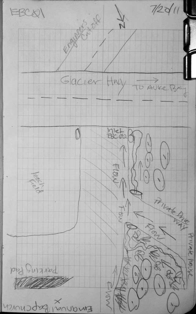
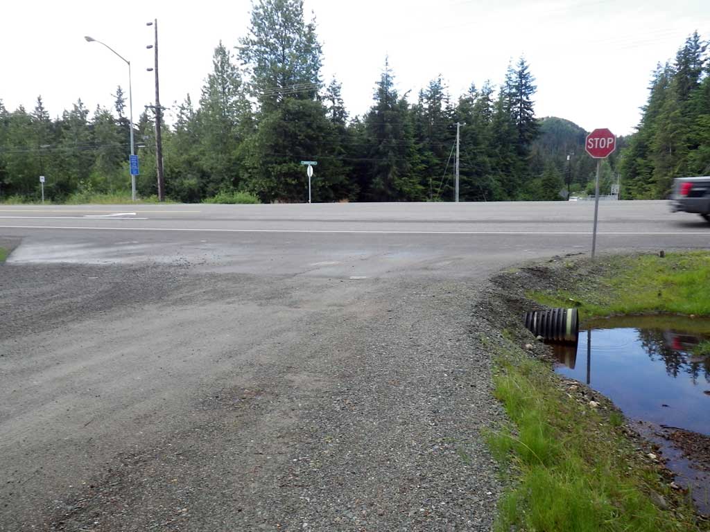
Road Name: Emmanuel Baptist Church
Datum: NAD83
Quad Name / ITM: Juneau B-2
AWC Stream #:
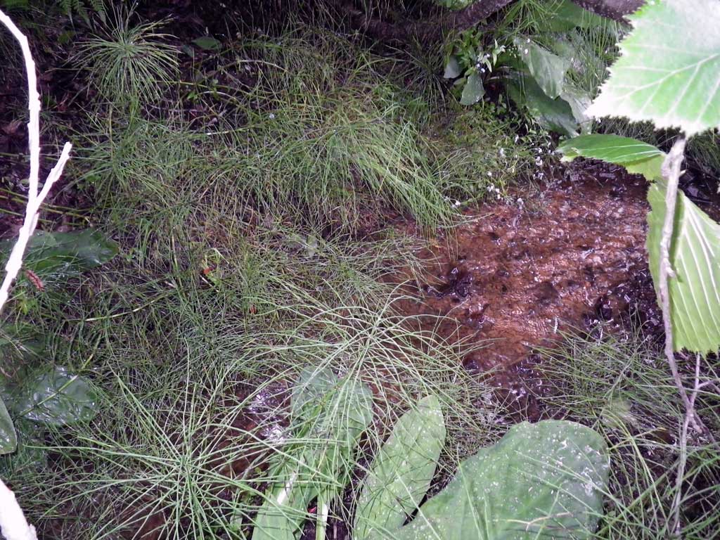
Stream Name: Casa Del Sol tributary
Elevation:
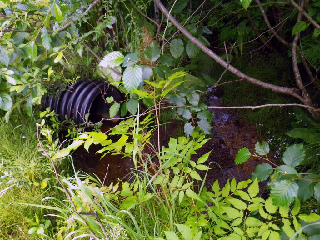
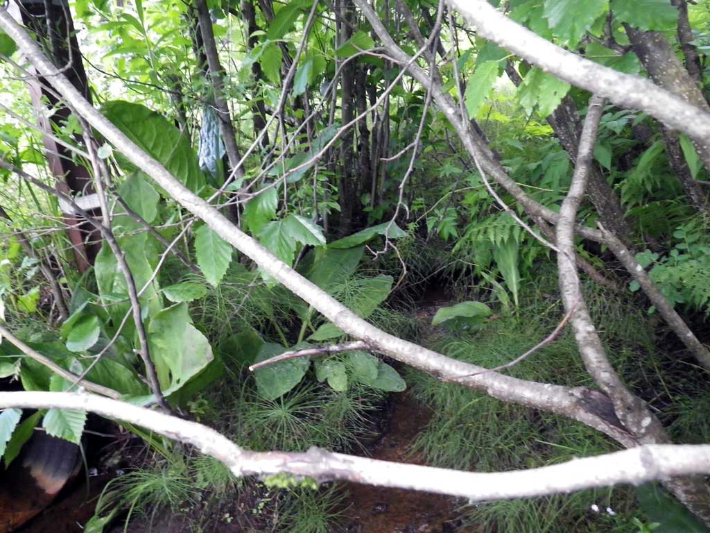
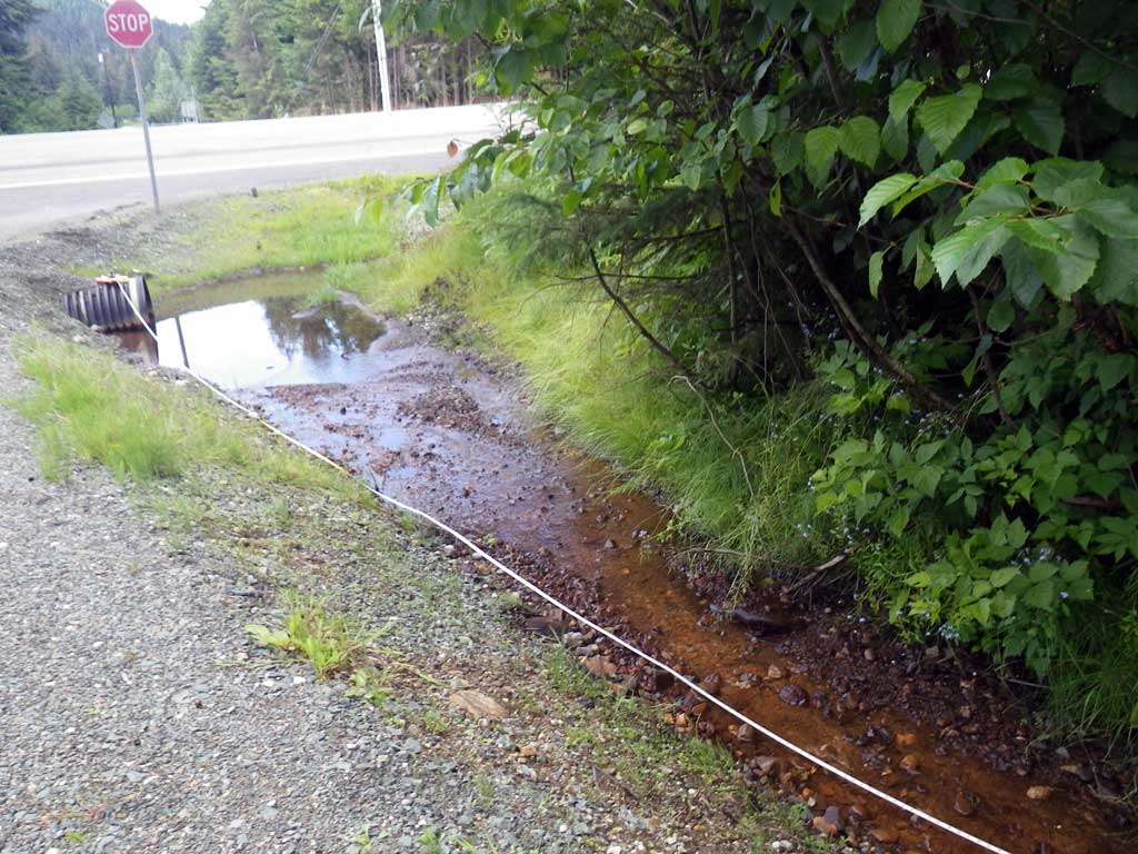
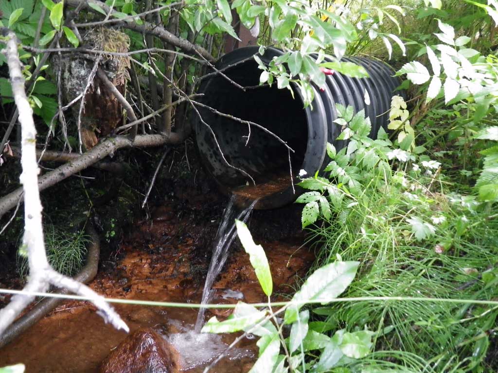
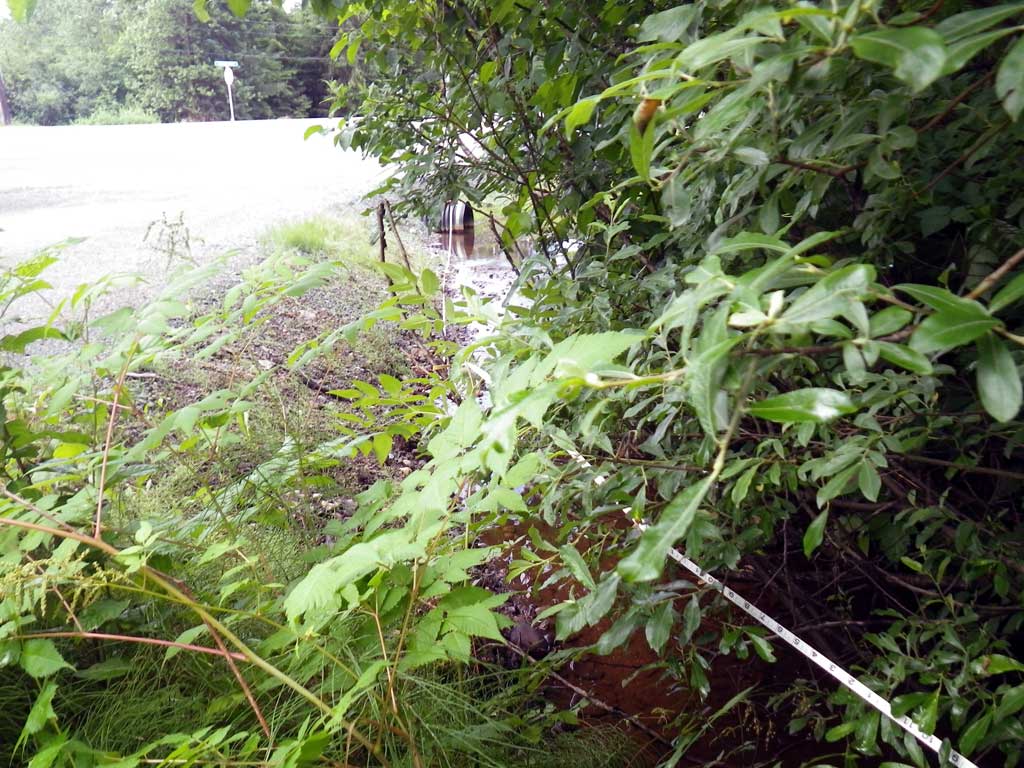
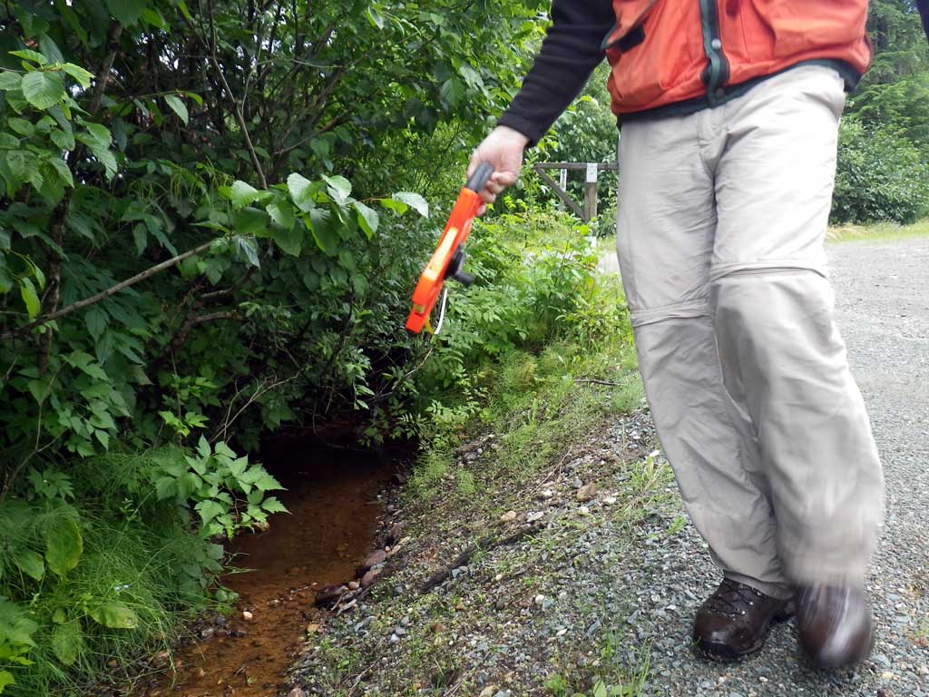
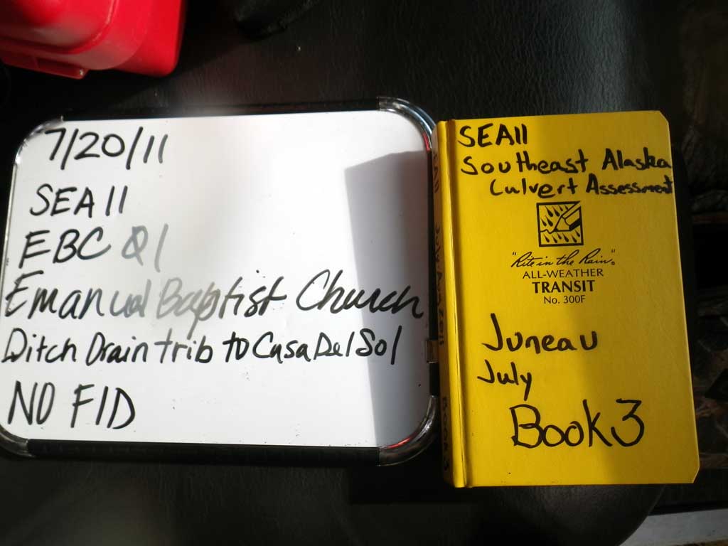
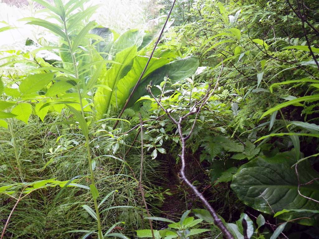
Site Comments: Ditch drain trib to Casa Del Sol. Smooth bore plastic. Junenile Coho visually obsereved down and up stream. 46' US of EBC02. Driveway adjacent Emmanual Baptist Church off Glacier Hwy near GLH19. Heavy foliage upstream.
Survey SEA11-EBC01
Project Supervisor: Gillian O'Doherty, Alaska Department of Fish and Game
— Anchorage, AK
Observers: Jason Olds, Charmagne Gutierrez
Overall Fish Passage Rating:
Tidal: No
Backwatered: No
Step Pools: No
Construction Year:
Site Observations:
- Outfall height red
- Culvert gradient red
Comments: None
Culvert Measurements
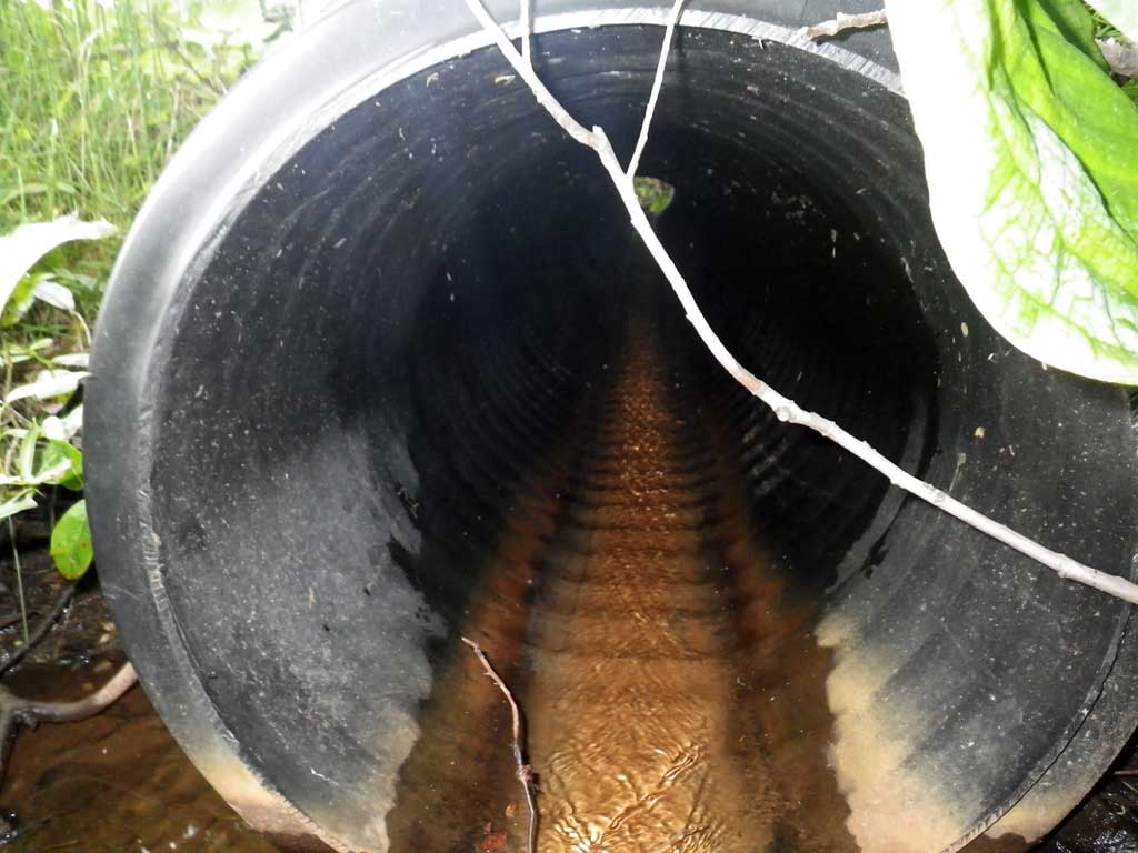
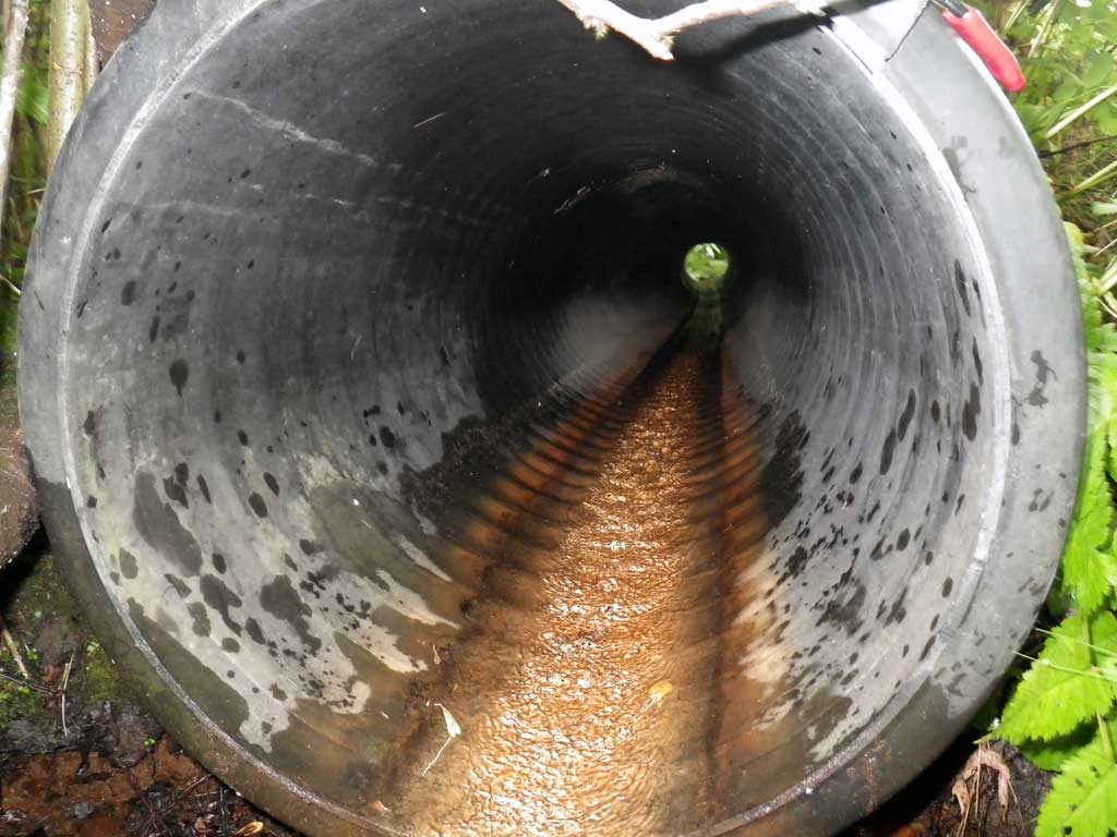
| ID: 1 | Structure Type: Circular pipe (Corrugated plastic) | Fish Passage Rating: | ||||||||||||||||||||||||||||||||||||||||||
|
|
|
||||||||||||||||||||||||||||||||||||||||||
Culvert Observations:
|
||||||||||||||||||||||||||||||||||||||||||||
Stream Measurements
|
|
No stream width data available.
Elevations
| Locator ID | Culvert Number |
River Distance (ft)1 |
Distance From Crossing (ft)2 |
Relative Elevation (ft) |
|---|---|---|---|---|
| Road Elev | 103.95 | |||
| D/S Tailcrest or 1st Thalweg | 0.00 | 98.74 | ||
| D/S Water Surface Elev | 0.00 | 99.30 | ||
| Outlet Pool Water Elev | 11.00 | 99.38 | ||
| Max Pool Depth | 11.00 | 98.59 | ||
| Outlet Invert (Invert out, on pipe) | 13.00 | 100.74 | ||
| D/S Water Surface Elev (Invert out) | 13.00 | 100.82 | ||
| Outlet Culvert Top (Invert out, on pipe) | 13.00 | 102.32 | ||
| Inlet Culvert Invert (Invert in, on pipe) | 46.60 | 102.43 | ||
| Inlet Culvert Top (Invert in) | 46.60 | 104.04 | ||
| U/S Headwater (1st resting) | 46.60 | 102.51 | ||
| U/S Water Surface Elev | 49.50 | 102.51 | ||
| U/S Grade Ctrl (Thalweg) | 49.50 | 102.49 |
Notes:
- River distance is measured continuously throughout the survey reach along the thalweg of the stream.
- Measured from each end of the crossing along the thalweg of the stream.
Fish Sampling Efforts
| Gear Type: Visual Observation, Ground (A) | Trap Duration(h): 30.0 | |
| Channel Type: Main Channel (>50% of water flow) | ||
| Comments: Visual observation of juvenile coho upstream and downstream from culvert. | ||
Fish Observations
| Species: juvenile coho salmon | Life History: Anadromous | ||
| Total Fish Observed: 1 | Fish Measured: 1 | Fork Lengths (mm) Min: 50 Max: 50 Mean: 50 | |
| Collected/Observed by Gear Type: Downstream Visual Observation, Ground (1) | |||
Photos
Questions or comments about this report can be directed to dfg.dsf.webmaster@alaska.gov