Fish Passage Site 10302200
Coordinates (dec. deg.): 58.37418°, -134.62111°
Legal Description: C040S065E26
Region: Southeast
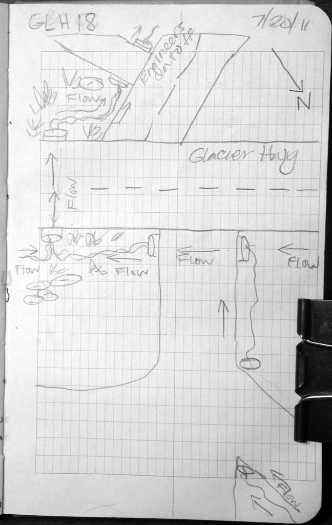
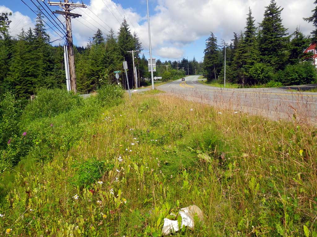
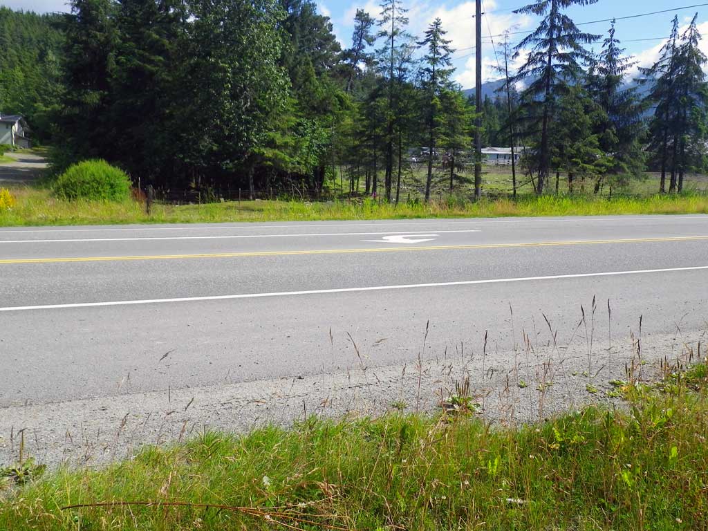
Road Name: Glacier Highway
Datum: NAD83
Quad Name / ITM: Juneau B-2
AWC Stream #:
Stream Name: Casa Del Sol tributary
Elevation:
Site Comments: None
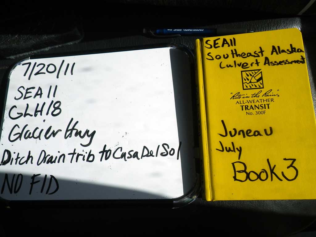
Survey SEA11-GLH18
Project Supervisor: Gillian O'Doherty, Alaska Department of Fish and Game
— Anchorage, AK
Observers: Jason Olds, Charmagne Gutierrez
Overall Fish Passage Rating:
Tidal: No
Backwatered: No
Step Pools: No
Construction Year:
Site Observations:
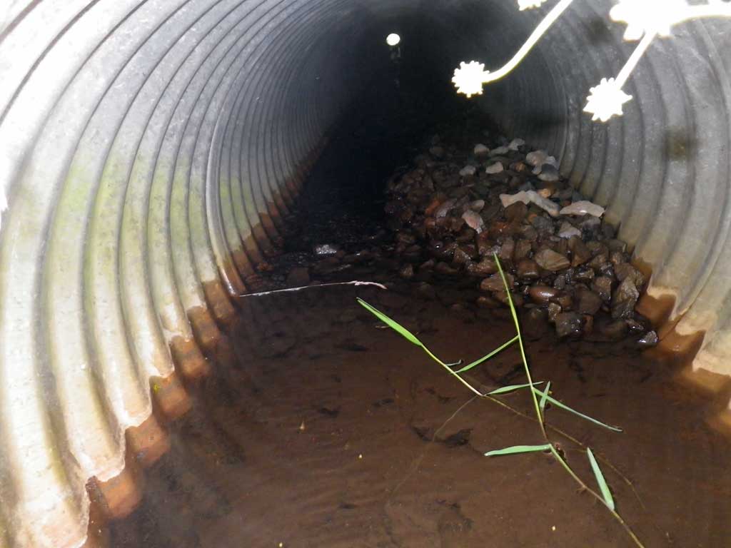
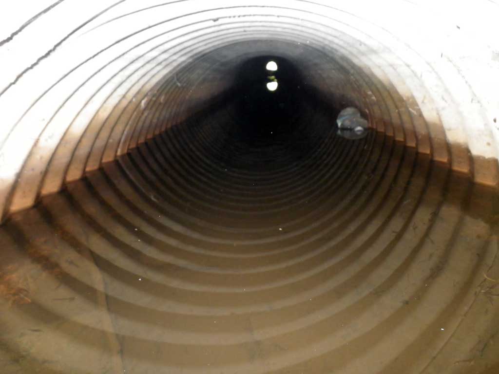
- Culvert gradient red
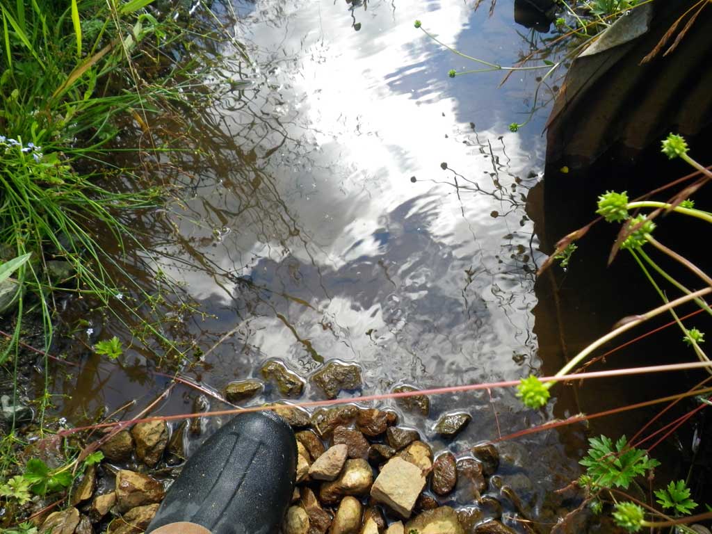
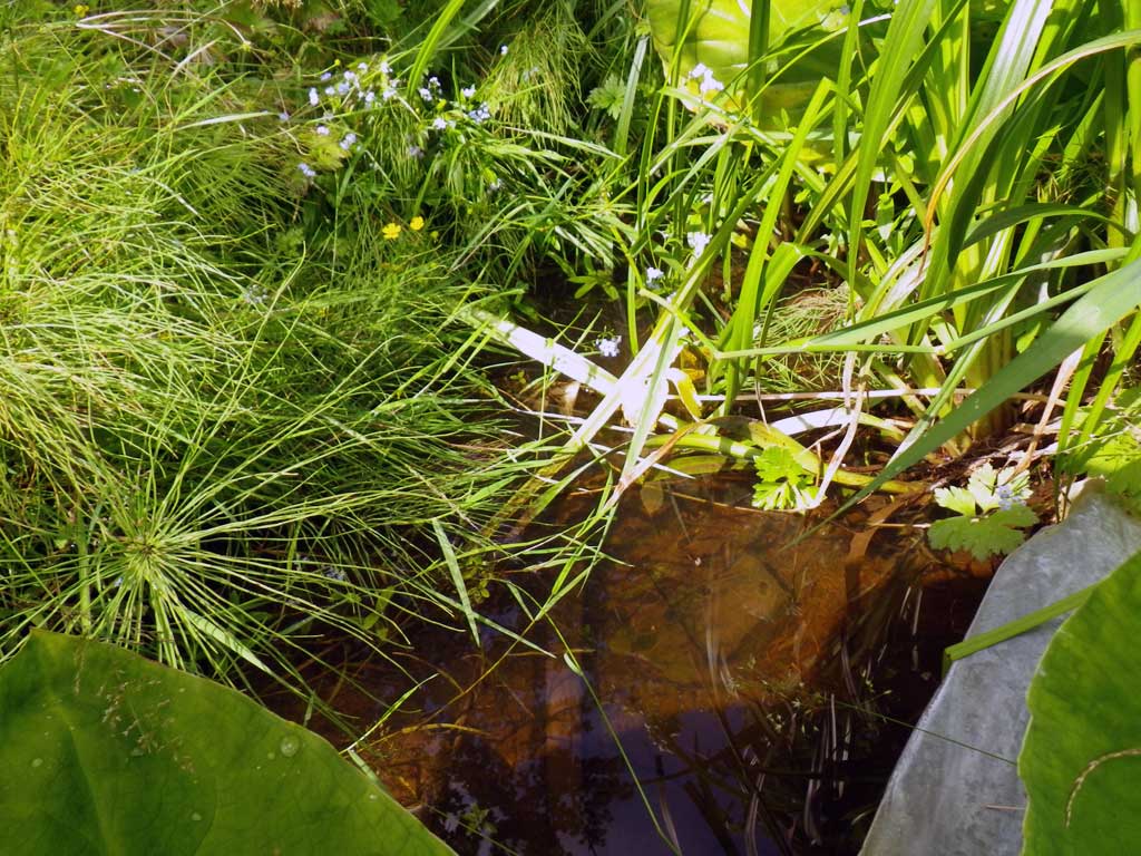
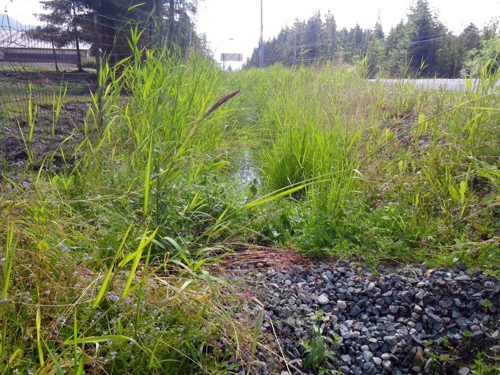
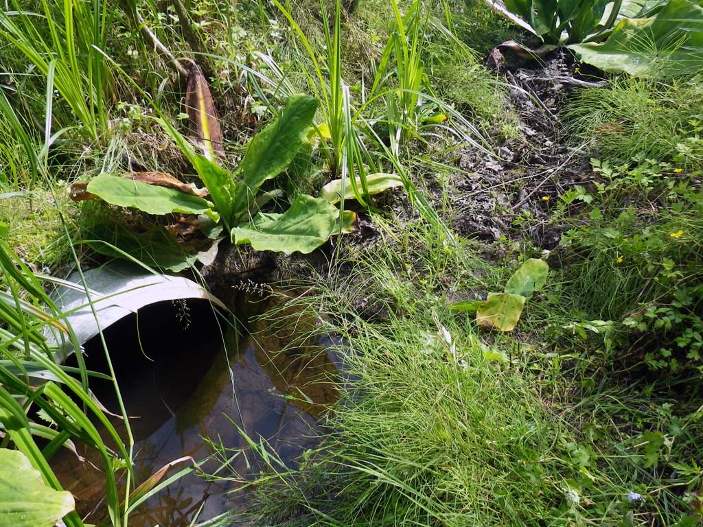
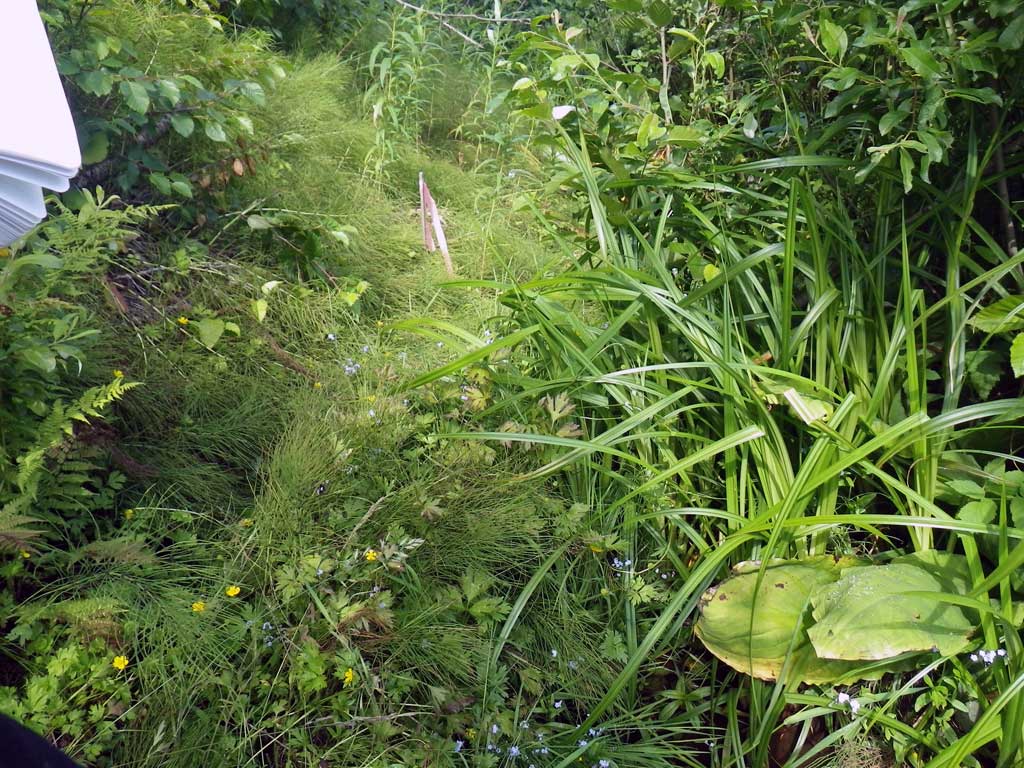
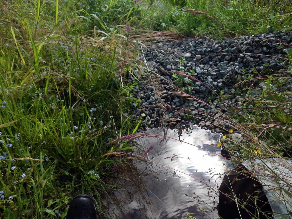
Comments: Juvenile coho observed upstream. US/DS ditch/drain Site is about 75 feet upstream from ECR01
Culvert Measurements
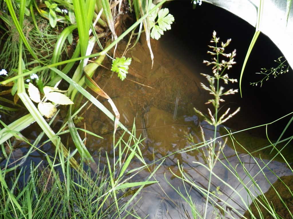
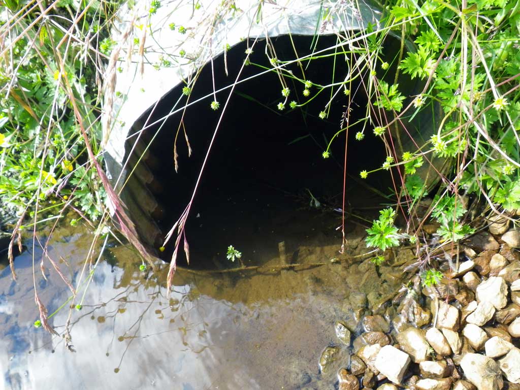
| ID: 1 | Structure Type: Circular pipe (Corrugated steel) | Fish Passage Rating: | |||||||||||||||||||||||||||||||||||||||||
|
|
|
|||||||||||||||||||||||||||||||||||||||||
Culvert Observations:
|
|||||||||||||||||||||||||||||||||||||||||||
Stream Measurements
|
|
No stream width data available.
Elevations
| Locator ID | Culvert Number |
River Distance (ft)1 |
Distance From Crossing (ft)2 |
Relative Elevation (ft) |
|---|---|---|---|---|
| Road Elev | 106.35 | |||
| D/S Tailcrest or 1st Thalweg | 0.00 | 98.69 | ||
| D/S Water Surface Elev | 0.00 | 98.79 | ||
| Max Pool Depth | 8.00 | 98.50 | ||
| Outlet Pool Water Elev | 8.00 | 99.24 | ||
| Outlet Culvert Top | 9.00 | 100.00 | ||
| Outlet Invert | 9.00 | 98.29 | ||
| D/S Water Surface Elev | 9.00 | 99.23 | ||
| Inlet Culvert Invert | 99.30 | 100.17 | ||
| U/S Headwater | 99.30 | 100.59 | ||
| Inlet Culvert Top | 99.30 | 102.07 |
Notes:
- River distance is measured continuously throughout the survey reach along the thalweg of the stream.
- Measured from each end of the crossing along the thalweg of the stream.
Fish Sampling Efforts
| Gear Type: Visual Observation, Ground (A) | ||
| Comments: Juvenile salmonids, most likely coho, observed upstream from culvert. | ||
| Gear Type: (B) | ||
Fish Observations
No fish observations occurred during this survey.
Photos
Questions or comments about this report can be directed to dfg.dsf.webmaster@alaska.gov