Fish Passage Site 10302198
Coordinates (dec. deg.): 58.37132°, -134.61694°
Legal Description: C040S065E25
Region: Southeast
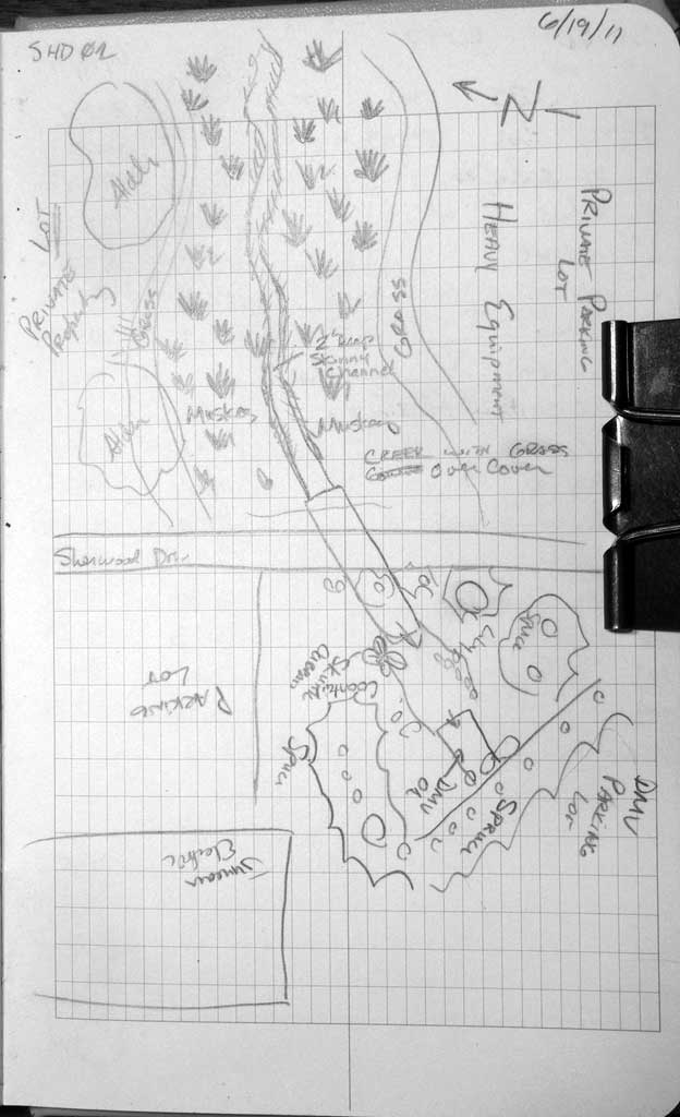
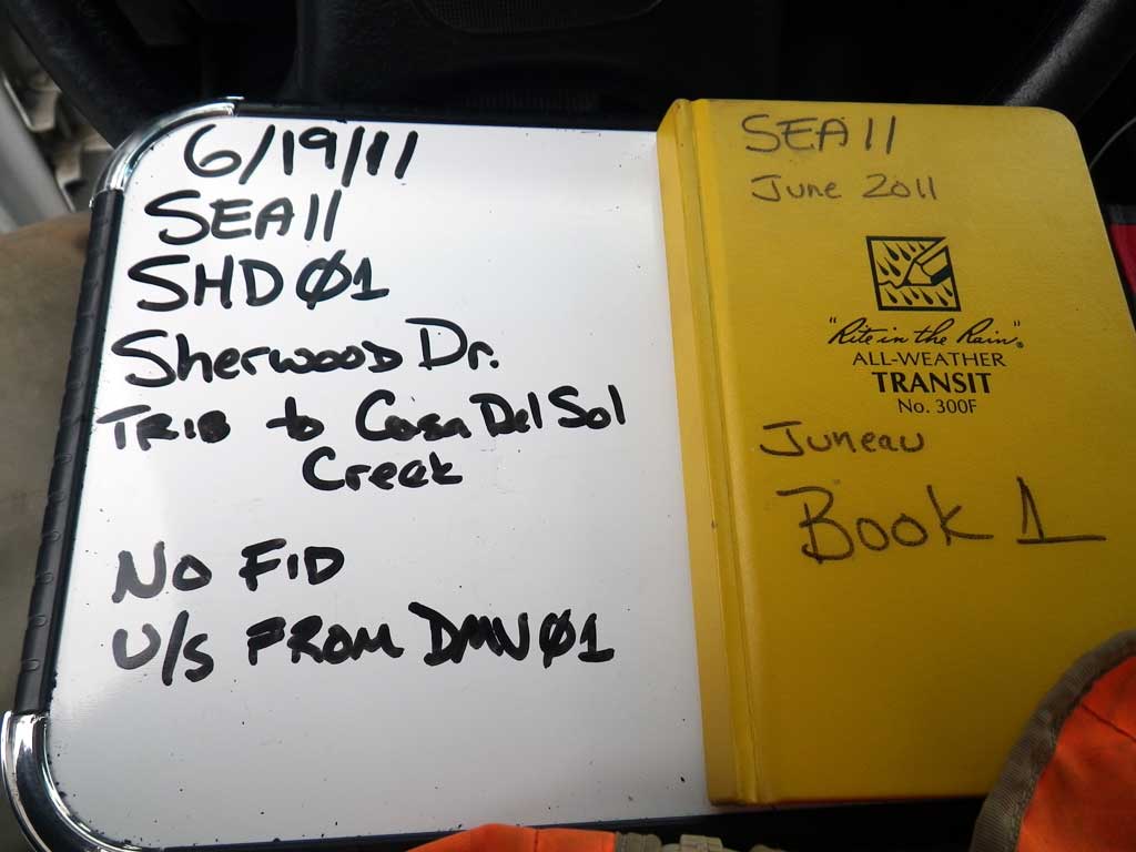
Road Name: Sherwood Drive
Datum: NAD83
Quad Name / ITM: Juneau B-2
AWC Stream #:
Stream Name: Casa Del Sol tributary
Elevation:
Site Comments: Culvert is 15 feet upstream from DMV01.
Survey SEA11-SHD01
Project Supervisor: Gillian O'Doherty, Alaska Department of Fish and Game
— Anchorage, AK
Observers: Mark Eisenman, Jason Olds
Overall Fish Passage Rating:
Tidal: Maybe
Backwatered: Yes
Step Pools: No
Construction Year:
Site Observations:
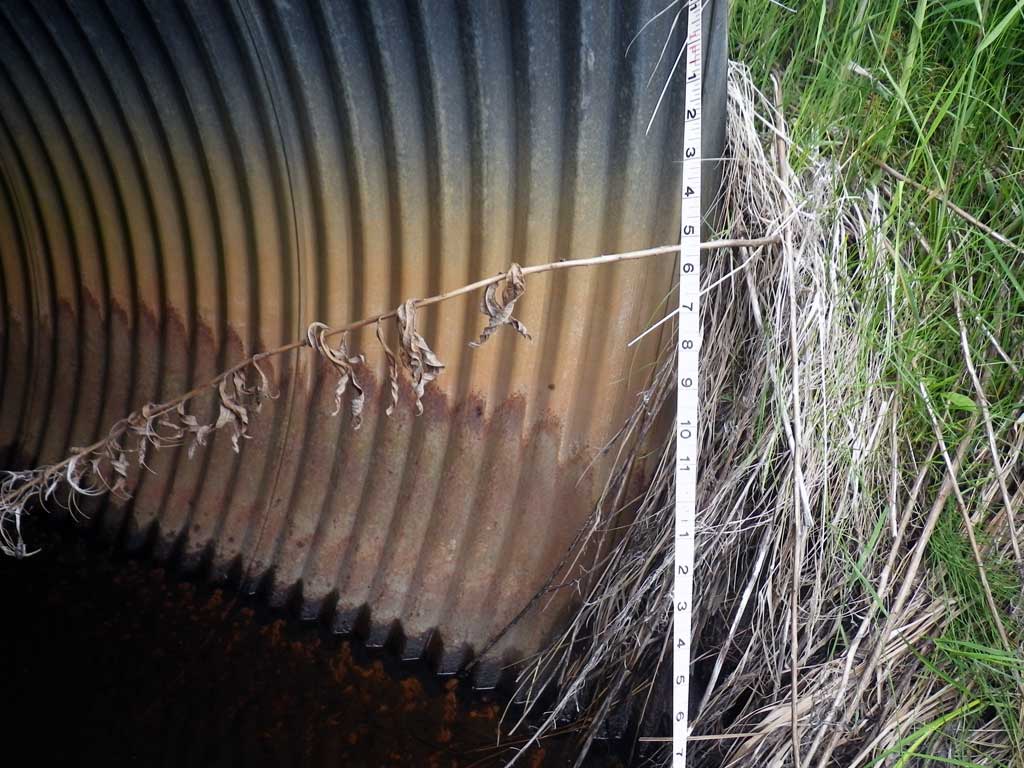
- Sediment accumulation
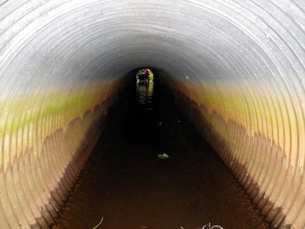
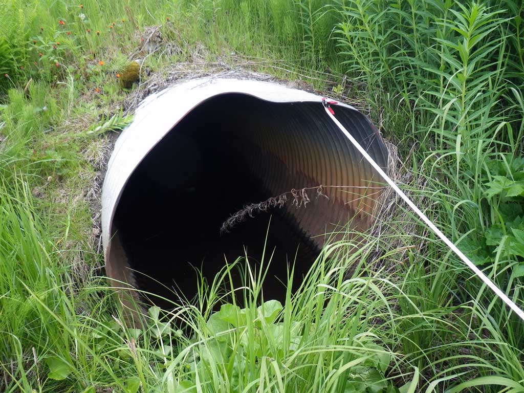
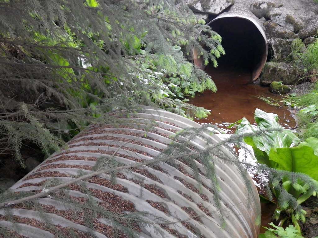
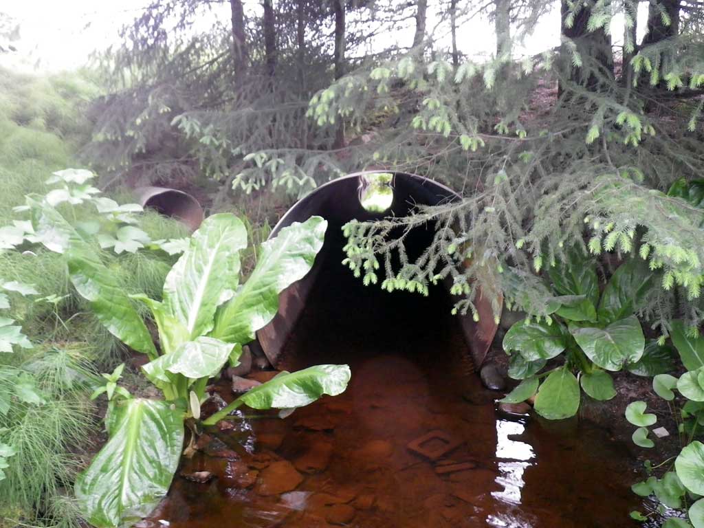
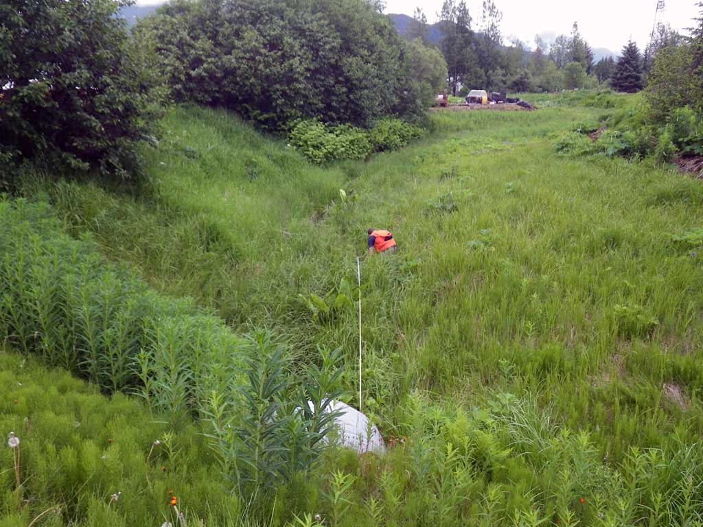
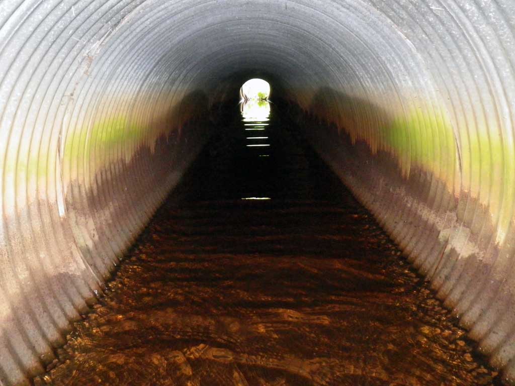
Comments: 300 foot long culvert below DMV Juneau parking lot located approximately 15 feet downstream from invert out, likely sharing a common tailwater control much further downstream. Upstream is a muskeg complex. Juvenile salmonids observed swimming in pipe. Water surface through length of pipe nearly level.
Culvert Measurements
| ID: 1 | Structure Type: Circular pipe (Corrugated steel) | Fish Passage Rating: | |||||||||||||||||||||||||||||||||||||||||
|
|
|
|||||||||||||||||||||||||||||||||||||||||
Culvert Observations:
|
|||||||||||||||||||||||||||||||||||||||||||
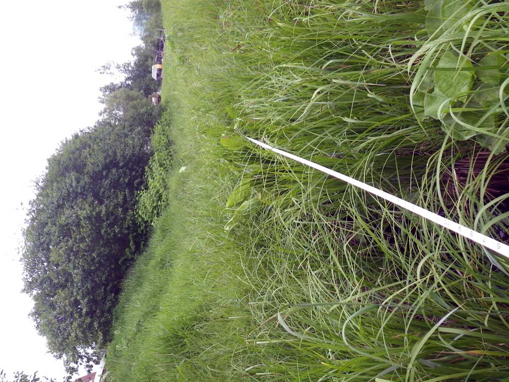
Stream Measurements
|
|
| Stream Width Type | Distance From Crossing (ft) |
Stream Width (ft) |
|---|---|---|
| Upstream ordinary high water | 7.0 | 2.70 |
| Upstream ordinary high water | 14.0 | 3.20 |
| Upstream ordinary high water | 23.0 | 4.00 |
Elevations
| Locator ID | Culvert Number |
River Distance (ft)1 |
Distance From Crossing (ft)2 |
Relative Elevation (ft) |
|---|---|---|---|---|
| Road Elev | 100.44 | |||
| D/S Grade Ctrl (Thalweg) | 0.00 | 90.63 | ||
| D/S Water Surface Elev | 0.00 | 91.32 | ||
| D/S Water Surface Elev (Invert out) | 6.00 | 91.32 | ||
| Inlet Thalweg | 6.00 | 90.36 | ||
| Outlet Culvert Top | 6.00 | 95.34 | ||
| Inlet Culvert Top | 83.00 | 95.55 | ||
| U/S Water Surface Elev (Invert in) | 83.00 | 91.34 | ||
| Outlet Thalweg | 83.00 | 90.62 | ||
| U/S Grade Ctrl (Thalweg) | 88.00 | 90.46 | ||
| U/S Water Surface Elev | 88.00 | 91.33 | ||
| U/S Grade Ctrl (Thalweg) | 109.00 | 88.96 | ||
| U/S Water Surface Elev | 109.00 | 91.34 |
Notes:
- River distance is measured continuously throughout the survey reach along the thalweg of the stream.
- Measured from each end of the crossing along the thalweg of the stream.
Fish Sampling Efforts
| Gear Type: Visual Observation, Ground (A) | ||
| Comments: Juvenile salmonids observed in pipe. | ||
Fish Observations
No fish observations occurred during this survey.
Photos

Questions or comments about this report can be directed to dfg.dsf.webmaster@alaska.gov