Fish Passage Site 10302197
Coordinates (dec. deg.): 58.32273°, -134.61598°
Legal Description: C041S066E09
Region: Southeast
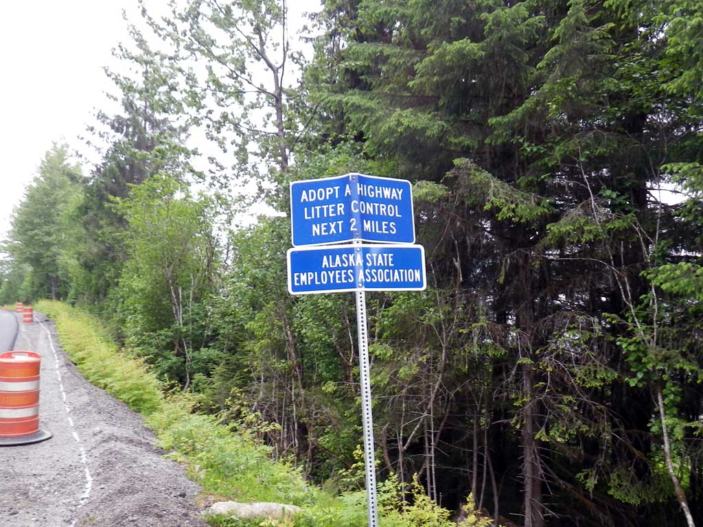
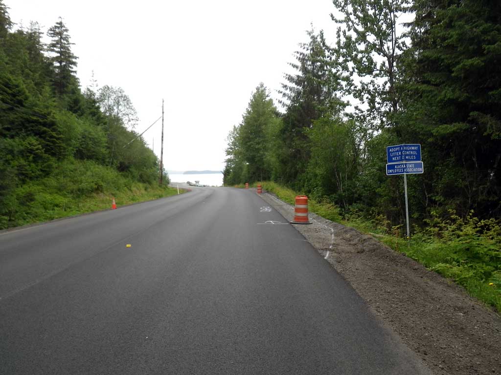
Road Name: North Douglas Highway
Datum: NAD83
Quad Name / ITM: Juneau B-2
AWC Stream #:
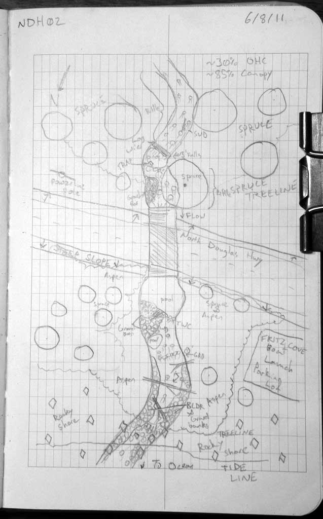
Stream Name: Cove Creek
Elevation:
Site Comments: None
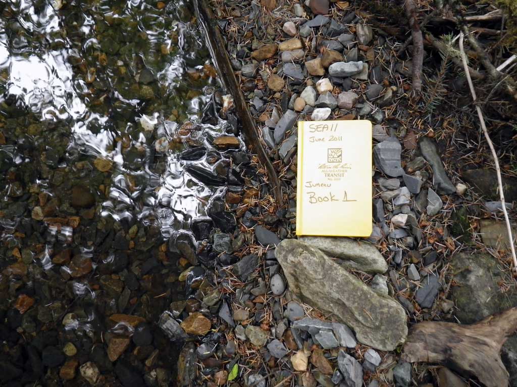
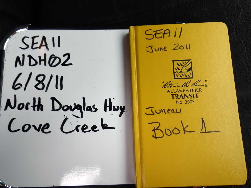
Survey SEA11-NDH02
Project Supervisor: Gillian O'Doherty, Alaska Department of Fish and Game
— Anchorage, AK
Observers: Mark Eisenman, Jason Olds
Overall Fish Passage Rating:
Tidal: No
Backwatered: No
Step Pools: No
Construction Year:
Site Observations:
- Culvert gradient red
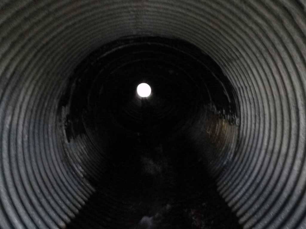
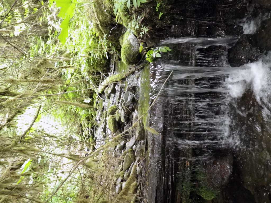
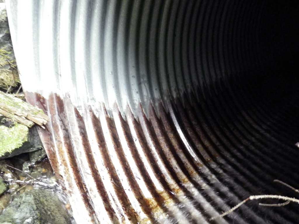
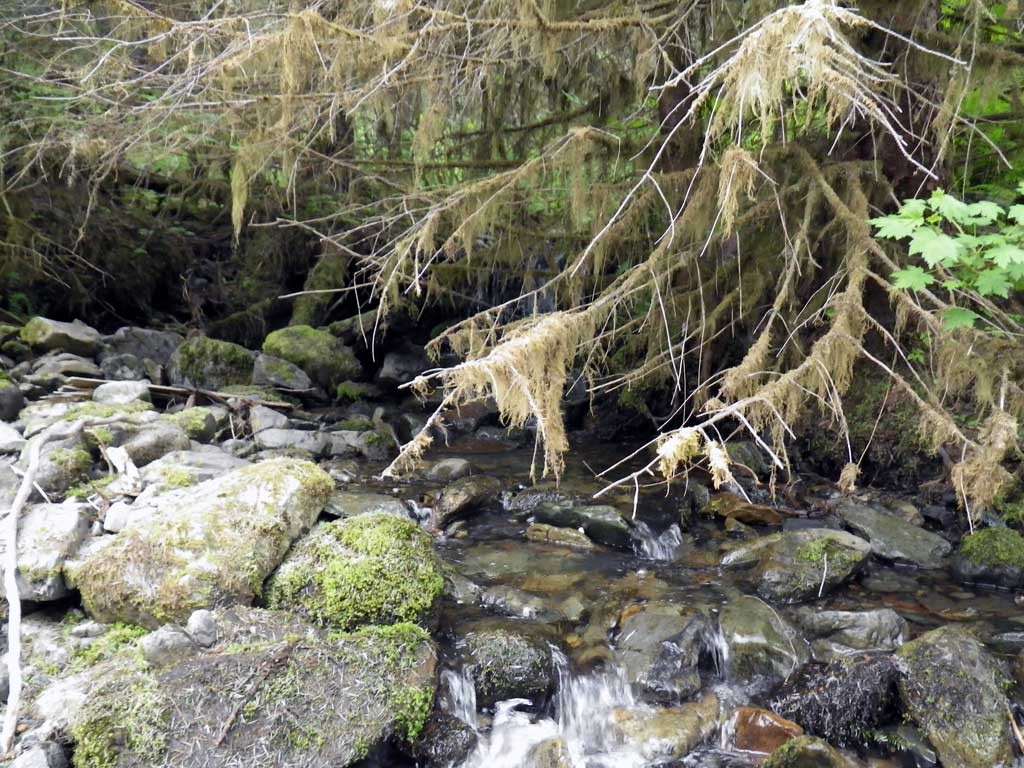
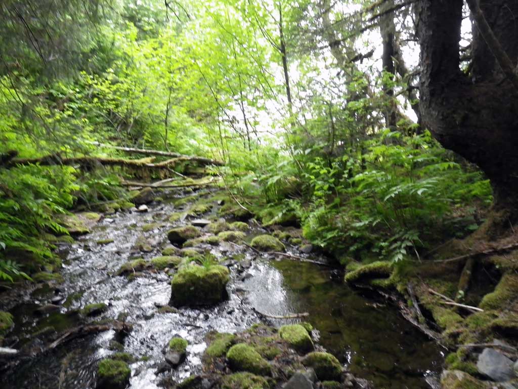
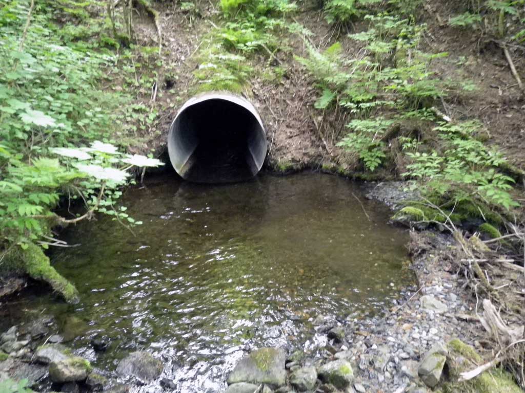
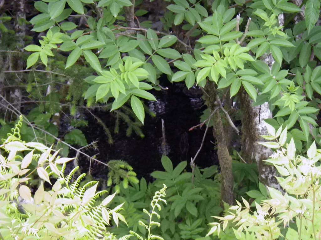
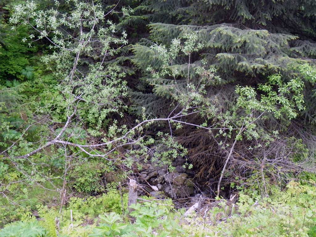
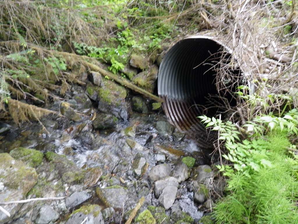
Comments: Upstream barrier is approximately 23 feet from the inlet. It is caused by a large log across the stream approximately 3.5 to 4.0 high. Upstream of barrier is a step pool complex . Ordinary high water is approximately 6 feet, however, active channel is approximately 3 feet. Downstream there is a long outlet pool that is most likely man made. Distance to salt water at Fritz Cove is approximately 300 feet from outlet. Downstream consists of riffle runs and pools.
Culvert Measurements
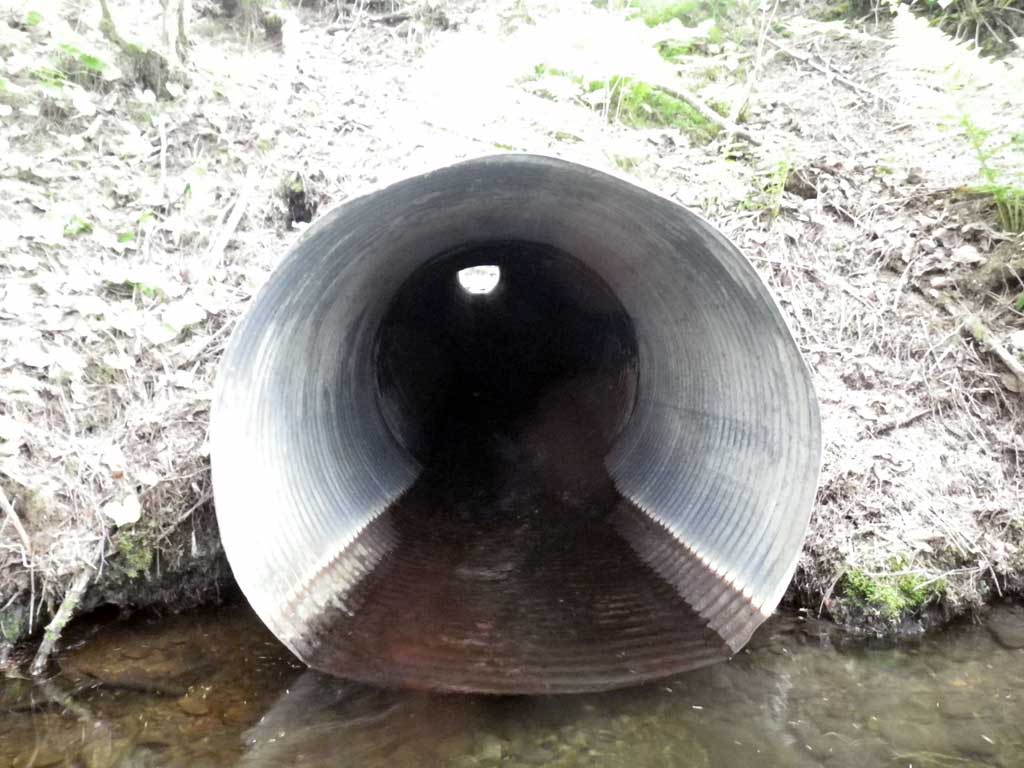
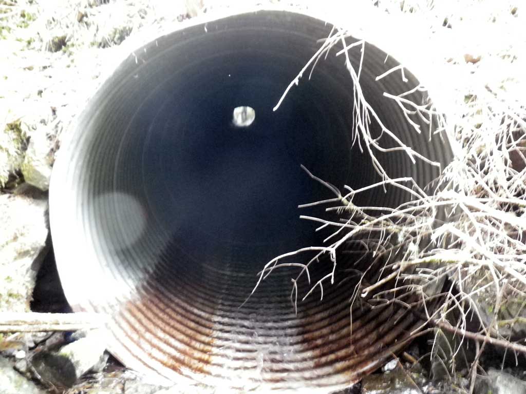
| ID: 1 | Structure Type: Circular pipe (Corrugated steel) | Fish Passage Rating: | |||||||||||||||||||||||||||||||||||||||||
|
|
|
|||||||||||||||||||||||||||||||||||||||||
Comments: U/S barrier about 23' from inlet, caused by large log across stream about 3.5 to 4 feet high. U/S from barrier nice step pool complex. OHW about 6.0 but active channel is probably about 3 feet. D/S large outlet pool, most likely man-made. Distance to saltwater (Fritz Cove) is about 300 feet from outlet. D/S portion consists of riffle runs and pools. 3 USGS survey markers in D/S area. |
|||||||||||||||||||||||||||||||||||||||||||
Culvert Observations:
|
|||||||||||||||||||||||||||||||||||||||||||
Stream Measurements
|
|
| Stream Width Type | Distance From Crossing (ft) |
Stream Width (ft) |
|---|---|---|
| Upstream ordinary high water | 41.0 | 4.90 |
| Upstream ordinary high water | 84.0 | 6.80 |
| Upstream ordinary high water | 116.0 | 6.00 |
Elevations
| Locator ID | Culvert Number |
River Distance (ft)1 |
Distance From Crossing (ft)2 |
Relative Elevation (ft) |
|---|---|---|---|---|
| Road Elev | 120.77 | |||
| D/S Grade Ctrl (Thalweg) | 0.00 | 91.98 | ||
| D/S Water Surface Elev | 0.00 | 92.28 | ||
| D/S Water Surface Elev | 33.50 | 95.33 | ||
| D/S Tailcrest or 1st Thalweg | 33.50 | 94.91 | ||
| Outlet Pool Water Elev | 38.50 | 95.34 | ||
| Max Pool Depth | 38.50 | 93.80 | ||
| Misc. (Substrate directly below invert out) | 41.50 | 94.06 | ||
| Outlet Invert | 41.50 | 94.74 | ||
| Outlet Culvert Top | 41.50 | 99.22 | ||
| D/S Water Surface Elev | 41.50 | 95.32 | ||
| Inlet Culvert Top | 133.54 | 109.14 | ||
| Inlet Culvert Invert | 133.54 | 104.65 | ||
| U/S Water Surface Elev | 133.54 | 104.84 | ||
| U/S Grade Ctrl (Thalweg) (1st resting habitat) | 136.54 | 105.41 | ||
| U/S Water Surface Elev | 136.54 | 105.60 |
Notes:
- River distance is measured continuously throughout the survey reach along the thalweg of the stream.
- Measured from each end of the crossing along the thalweg of the stream.
Fish Sampling Efforts
| Gear Type: None (A) | ||
| Comments: No traps set no fish observed. | ||
Fish Observations
No fish observations occurred during this survey.
Photos
Questions or comments about this report can be directed to dfg.dsf.webmaster@alaska.gov