Fish Passage Site 10302195
Coordinates (dec. deg.): 58.41640°, -134.61279°
Legal Description: C040S065E12
Region: Southeast
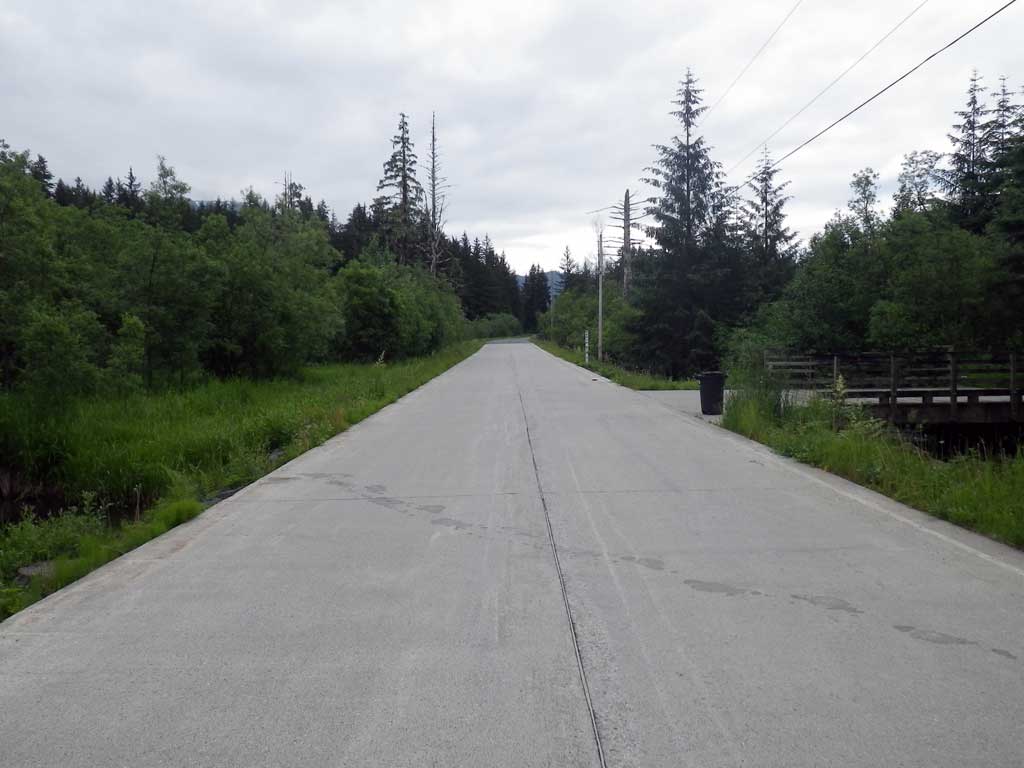
Road Name: Montana Creek Road
Datum: NAD83
Quad Name / ITM: Juneau B-2
AWC Stream #:
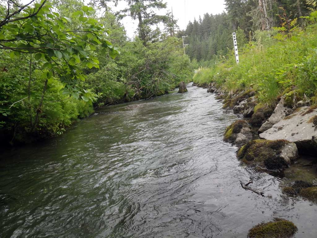
Stream Name: Montana Creek side channel
Elevation:
Site Comments: None
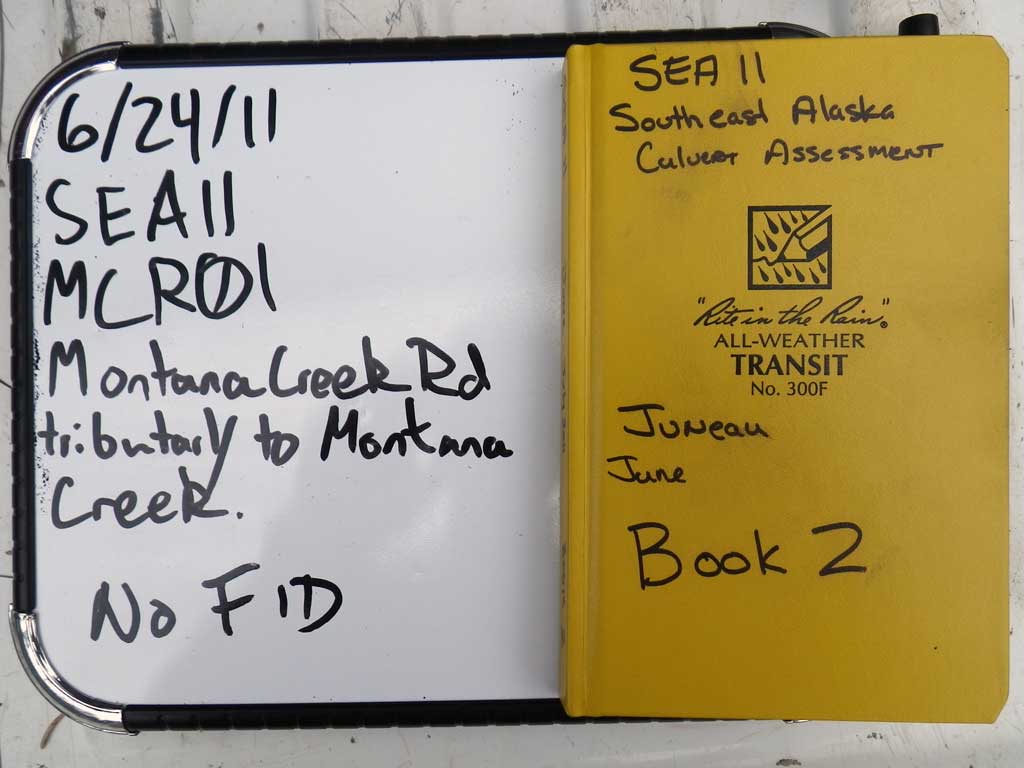
Survey SEA11-MCR01
Project Supervisor: Gillian O'Doherty, Alaska Department of Fish and Game
— Anchorage, AK
Observers: Mark Eisenman, Jason Olds
Overall Fish Passage Rating:
Tidal: No
Backwatered: Yes
Step Pools: No
Construction Year:
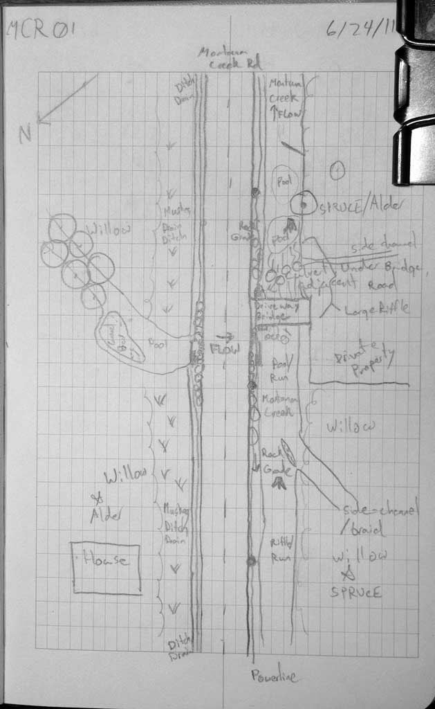
Site Observations:
- Culvert gradient gray
- Constriction ratio red
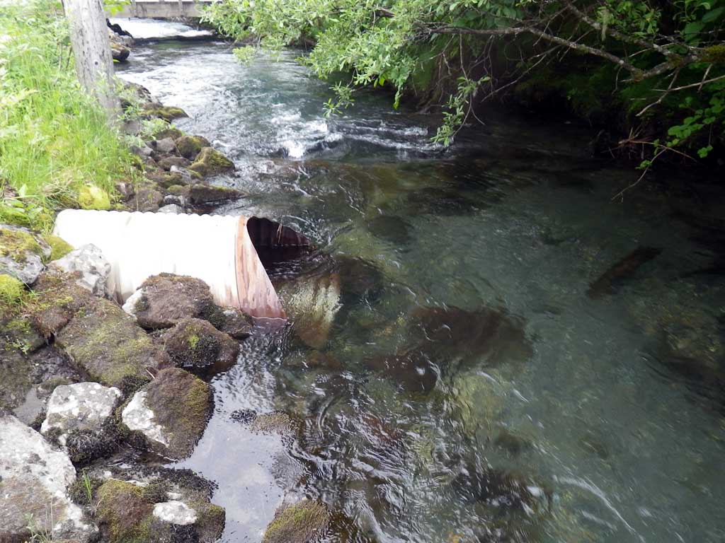
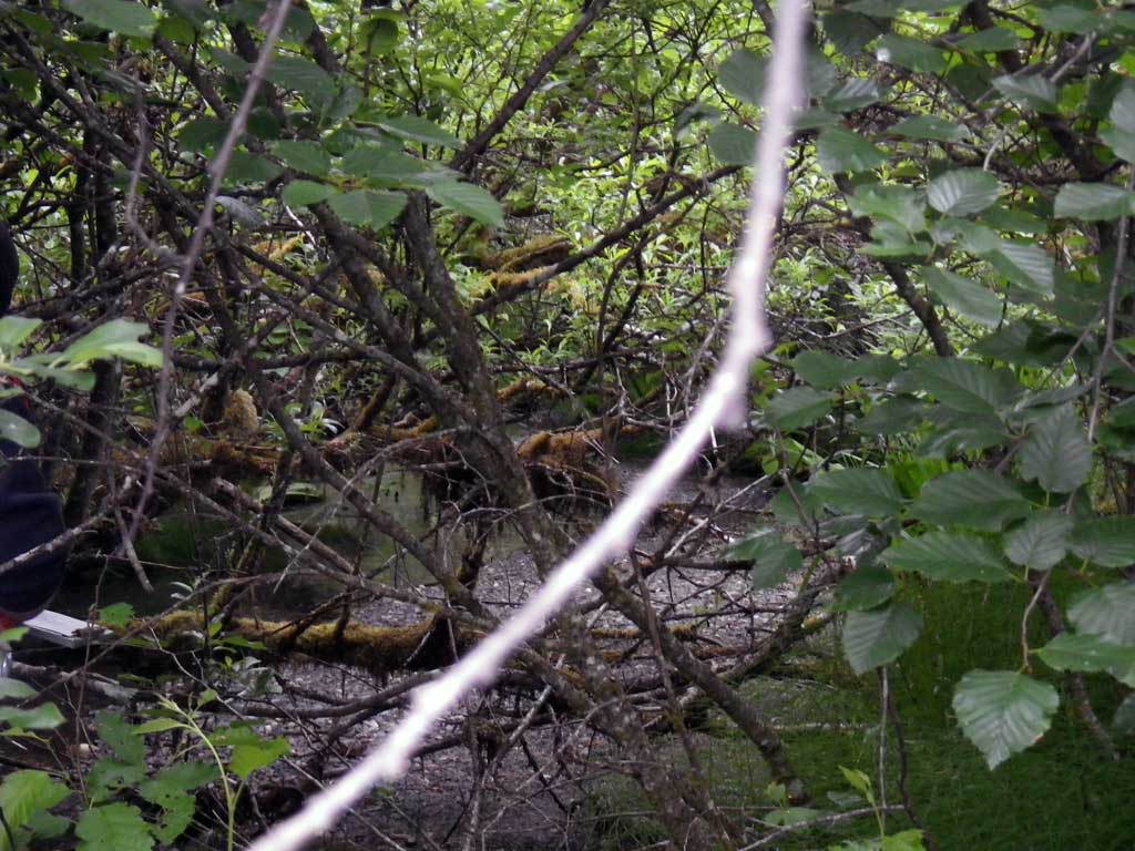
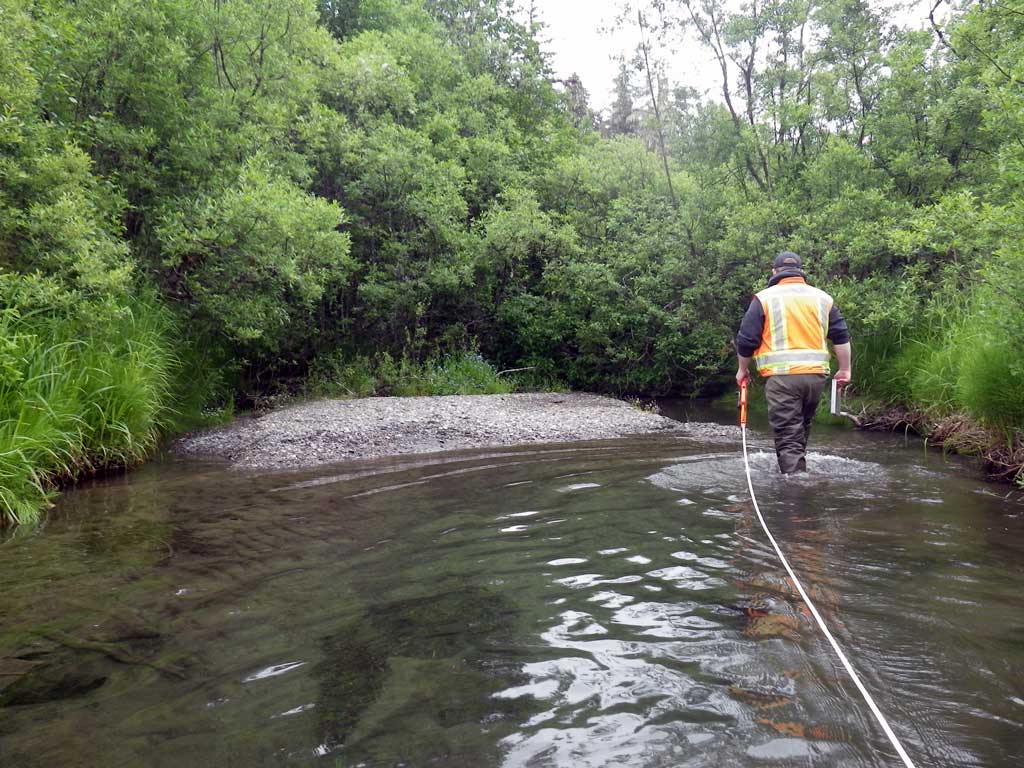
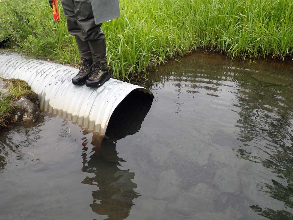
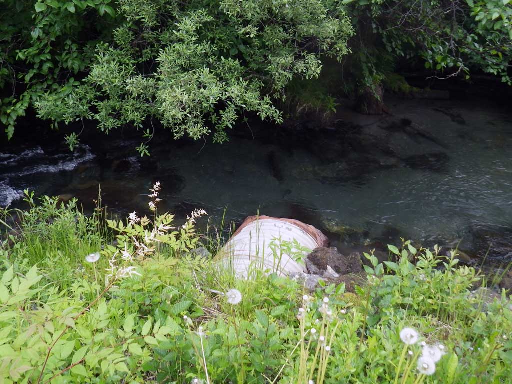
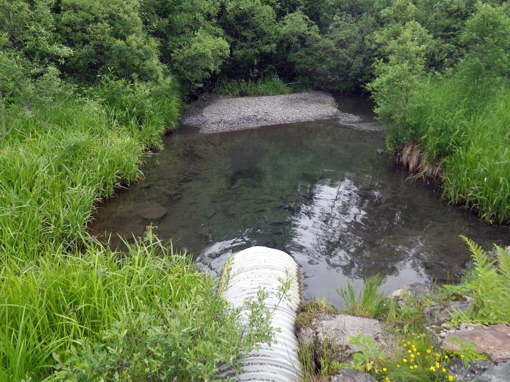
Comments: Culvert carries water from Montana Creek to side channel of Montana Creek, likely cuts back over further downstream. Upstream at confluence, no stream grade.
Culvert Measurements
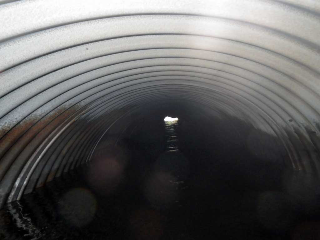
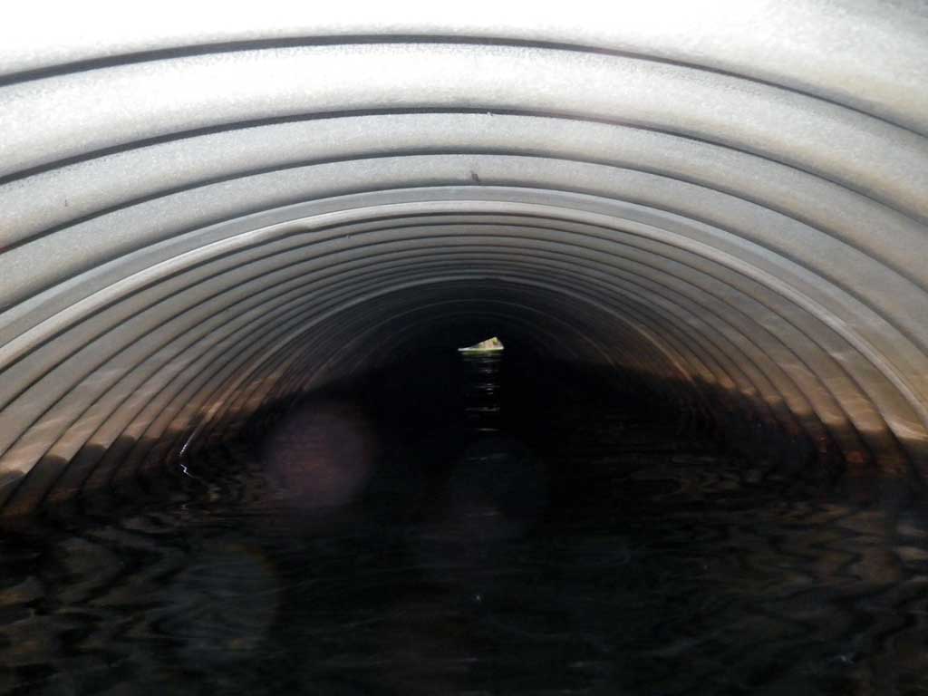
| ID: 1 | Structure Type: Circular pipe (Corrugated steel) | Fish Passage Rating: | |||||||||||||||||||||||||||||||||||||||||
|
|
|
|||||||||||||||||||||||||||||||||||||||||
Culvert Observations:
|
|||||||||||||||||||||||||||||||||||||||||||
Stream Measurements
|
|
| Stream Width Type | Distance From Crossing (ft) |
Stream Width (ft) |
|---|---|---|
| Downstream ordinary high water | 103.0 | 12.50 |
| Downstream ordinary high water | 122.0 | 13.00 |
| Downstream ordinary high water | 152.0 | 11.40 |
Elevations
| Locator ID | Culvert Number |
River Distance (ft)1 |
Distance From Crossing (ft)2 |
Relative Elevation (ft) |
|---|---|---|---|---|
| Road Elev | 100.00 | |||
| D/S Water Surface Elev | 0.00 | 97.40 | ||
| D/S Grade Ctrl (Thalweg) | 0.00 | 96.78 | ||
| D/S Grade Ctrl (Thalweg) | 26.50 | 97.06 | ||
| D/S Water Surface Elev | 26.50 | 97.46 | ||
| D/S Water Surface Elev (Water surface at max pool depth) | 35.50 | 97.47 | ||
| Max Pool Depth | 35.50 | 94.64 | ||
| Outlet Invert (on metal) | 49.50 | 95.24 | ||
| D/S Water Surface Elev | 49.50 | 97.47 | ||
| Outlet Culvert Top | 49.50 | 98.22 | ||
| Inlet Culvert Top | 99.00 | 98.57 | ||
| Inlet Culvert Invert | 99.00 | 95.55 | ||
| U/S Headwater | 99.00 | 97.40 |
Notes:
- River distance is measured continuously throughout the survey reach along the thalweg of the stream.
- Measured from each end of the crossing along the thalweg of the stream.
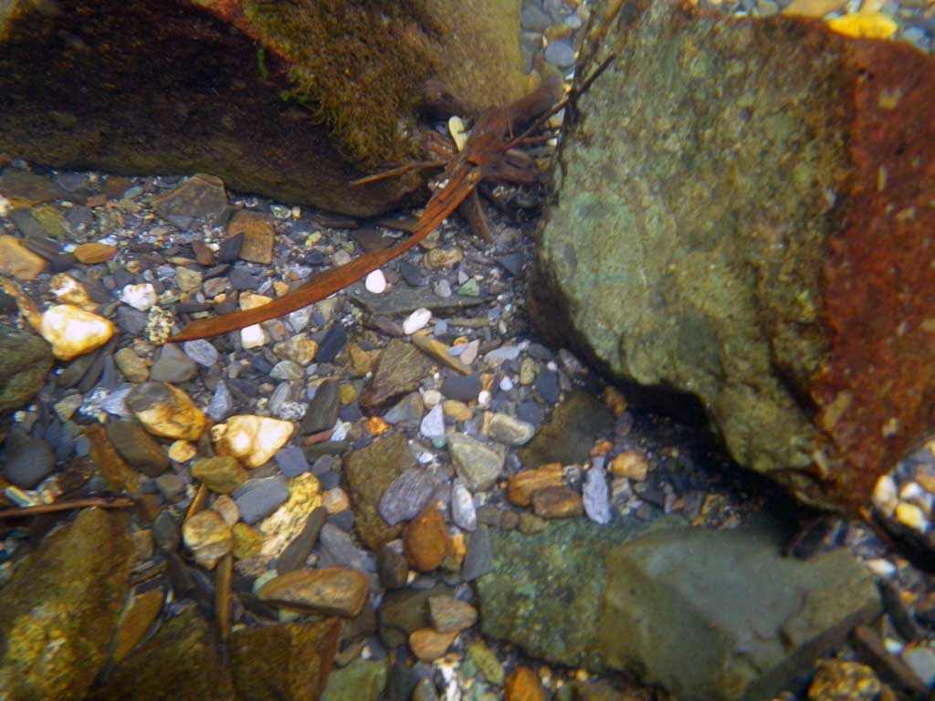
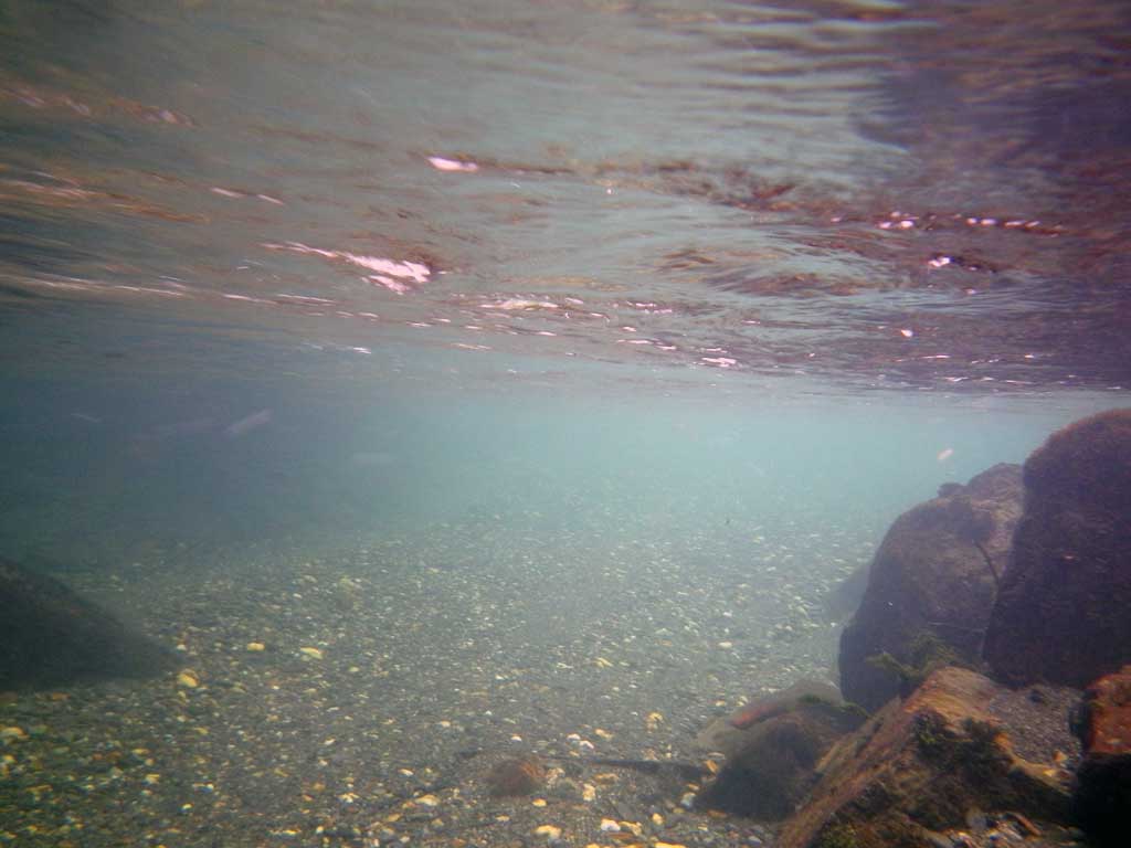
Fish Sampling Efforts
| Gear Type: None (A) | ||
| Comments: No traps set no fish observed. | ||
Fish Observations
No fish observations occurred during this survey.
Photos
Questions or comments about this report can be directed to dfg.dsf.webmaster@alaska.gov