Fish Passage Site 10302194
Coordinates (dec. deg.): 58.41480°, -134.61061°
Legal Description: C040S065E12
Region: Southeast
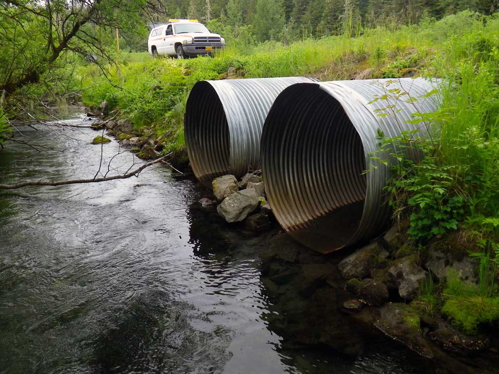
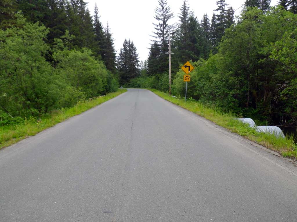
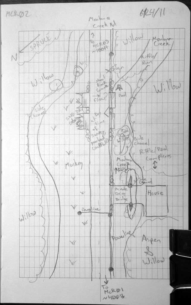
Road Name: Montana Creek Road
Datum: NAD83
Quad Name / ITM: Juneau B-2
AWC Stream #:
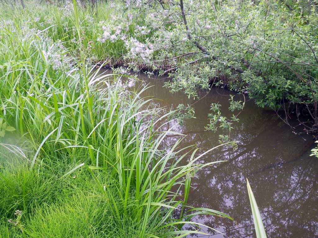
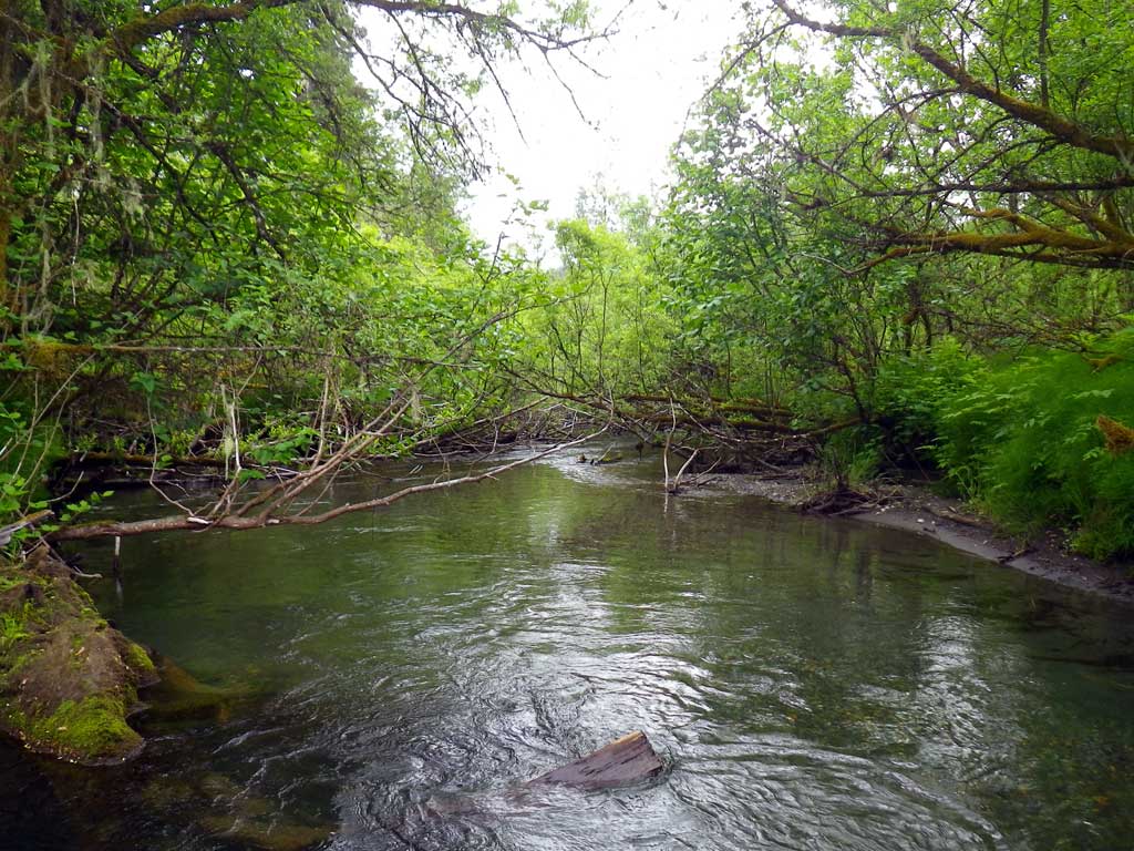
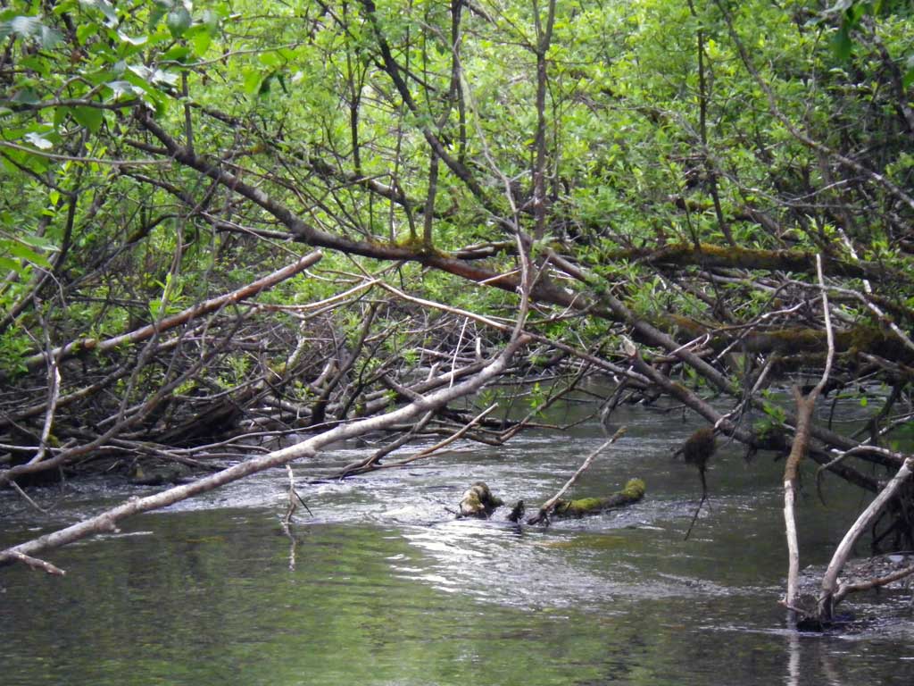
Stream Name: Montana Creek side channel
Elevation:
Site Comments: None
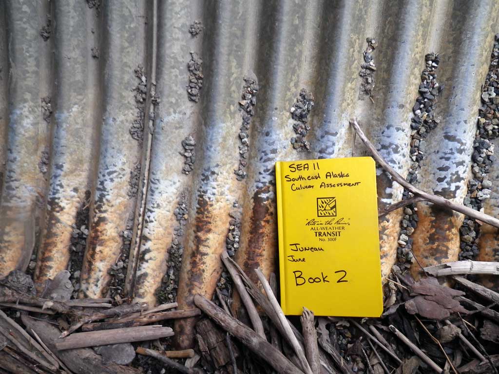
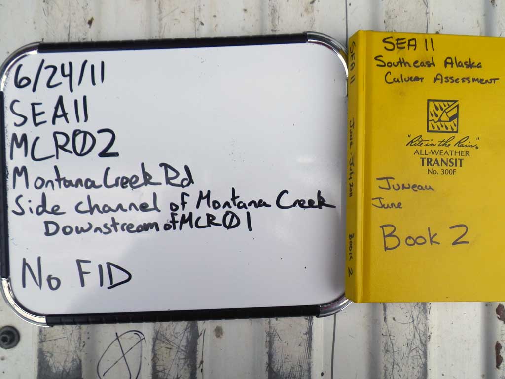
Survey SEA11-MCR02
Project Supervisor: Gillian O'Doherty, Alaska Department of Fish and Game
— Anchorage, AK
Observers: Mark Eisenman, Jason Olds
Overall Fish Passage Rating:
Tidal: No
Backwatered: No
Step Pools: No
Construction Year:
Site Observations:
- Culvert gradient gray
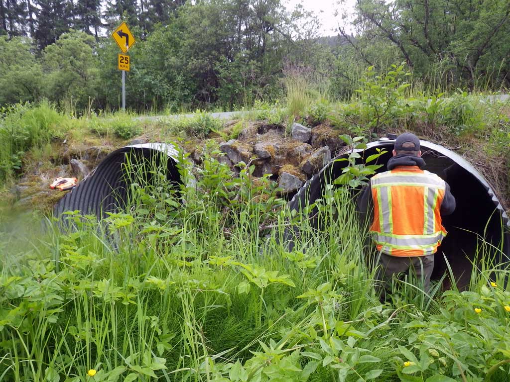
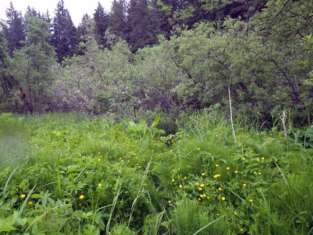
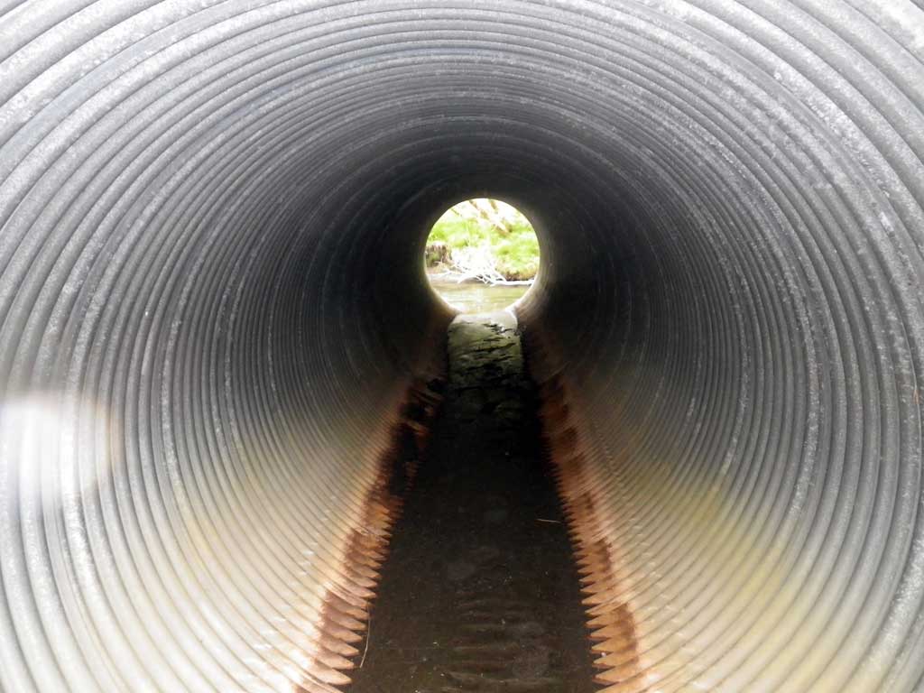
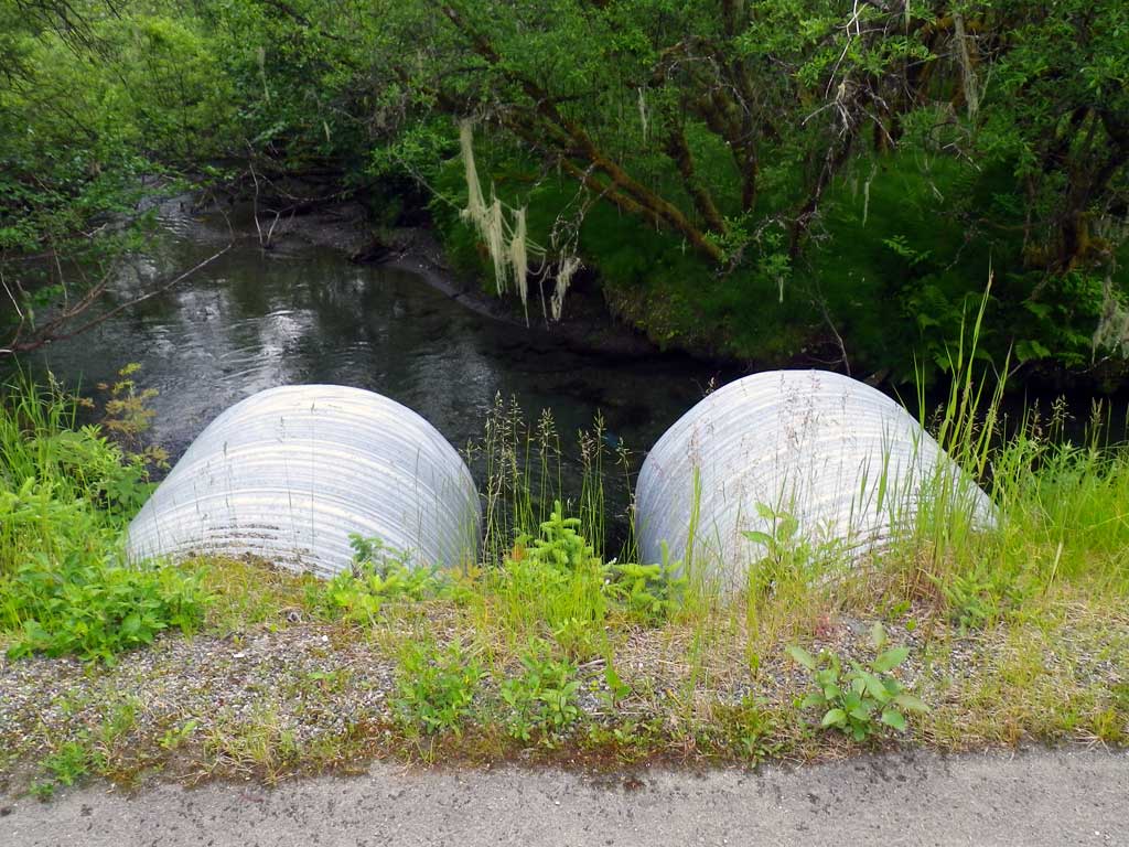
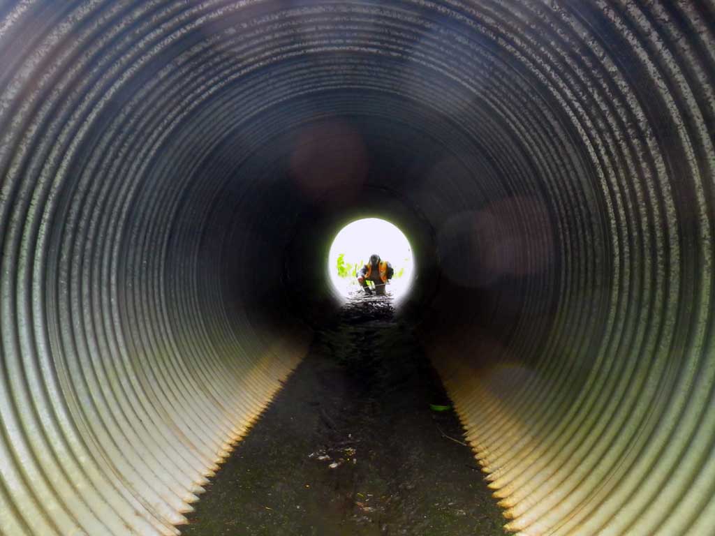
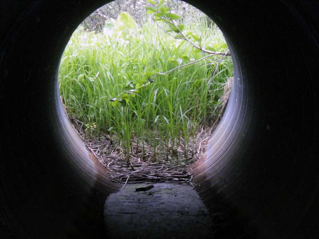
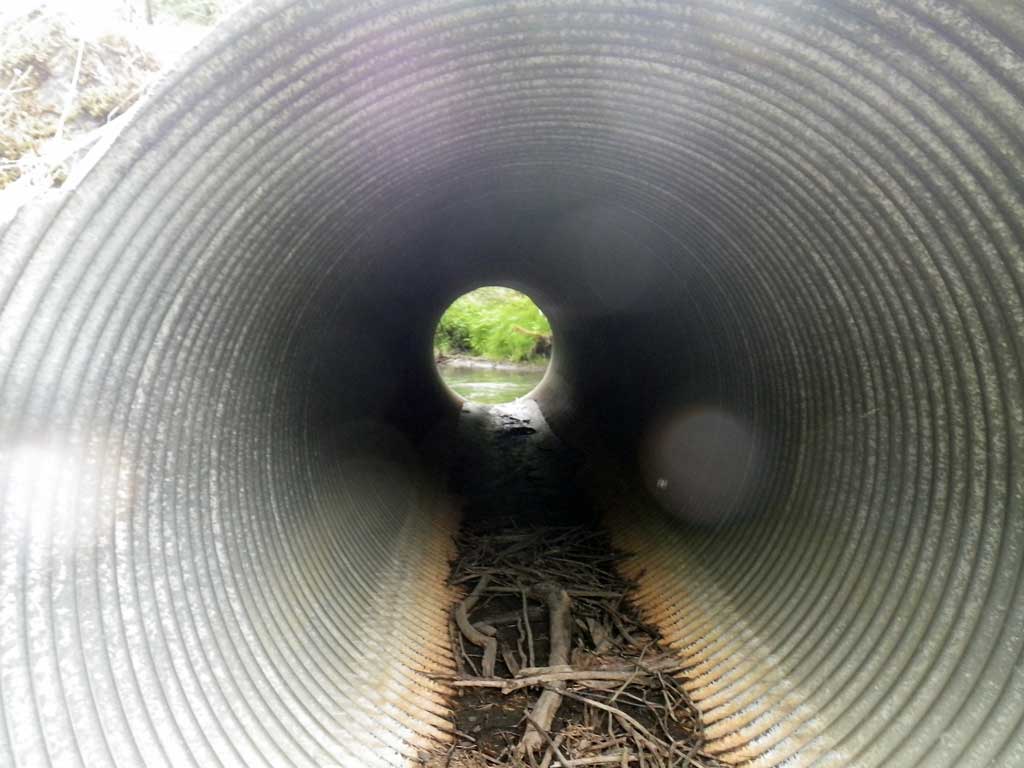
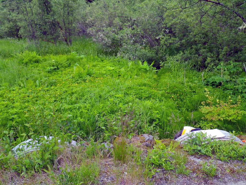
Comments: Pipes are dry except in oulet that converge with Montanta Creek. Culverts set as overflow for MCR01downstream. Culvert exit for side channel that comes in from MCR01. Culverts empty into Montana Creek directly below oulets. There is a drop below pipe; water would only go through the pipe during high water levels. Upstream grade omitted; dry/Muskeg.
Culvert Measurements
| ID: 1 | Structure Type: Circular pipe (Corrugated steel) | Fish Passage Rating: | |||||||||||||||||||||||||||||||||||||||||
|
|
|
|||||||||||||||||||||||||||||||||||||||||
Comments: 1 of 2 |
|||||||||||||||||||||||||||||||||||||||||||
Culvert Observations:
|
|||||||||||||||||||||||||||||||||||||||||||
| ID: 2 | Structure Type: Circular pipe (Corrugated steel) | Fish Passage Rating: | |||||||||||||||||||||||||||||||||||||||||
|
|
|
|||||||||||||||||||||||||||||||||||||||||
Comments: 2/2 |
|||||||||||||||||||||||||||||||||||||||||||
Culvert Observations:
|
|||||||||||||||||||||||||||||||||||||||||||
Stream Measurements
|
|
No stream width data available.
Elevations
| Locator ID | Culvert Number |
River Distance (ft)1 |
Distance From Crossing (ft)2 |
Relative Elevation (ft) |
|---|---|---|---|---|
| Road Elev | 100.00 | |||
| D/S Water Surface Elev (Water surface of Montana Creek just below outlets) | 0.00 | 92.26 | ||
| D/S Water Surface Elev | 2 | 1.00 | 92.26 | |
| Misc. (Substrate elevation directly below culvert outlet.) | 1 | 1.00 | 91.30 | |
| Misc. (Substrate elevation directly below culvert outlet) | 2 | 1.00 | 91.32 | |
| Outlet Invert (on metal) | 2 | 1.00 | 92.00 | |
| Outlet Invert (on metal) | 1 | 1.00 | 92.03 | |
| D/S Water Surface Elev | 1 | 1.00 | 92.23 | |
| Outlet Culvert Top | 2 | 1.00 | 98.12 | |
| Outlet Culvert Top | 1 | 1.00 | 98.18 | |
| Inlet Culvert Top (top of miter) | 2 | 41.00 | 98.81 | |
| Inlet Culvert Top (top of miter) | 1 | 41.00 | 98.86 | |
| Inlet Culvert Invert (on substrate) | 1 | 46.00 | 94.14 | |
| Inlet Culvert Invert (on substrate) | 2 | 46.00 | 94.28 | |
| U/S Grade Ctrl (Thalweg) (wetted edge of bank of side channel of Montana Creek) | 68.00 | 94.03 | ||
| U/S Water Surface Elev | 69.00 | 92.74 |
Notes:
- River distance is measured continuously throughout the survey reach along the thalweg of the stream.
- Measured from each end of the crossing along the thalweg of the stream.
Fish Sampling Efforts
| Gear Type: None (A) | ||
| Comments: No traps set site was dry at time of survey. | ||
Fish Observations
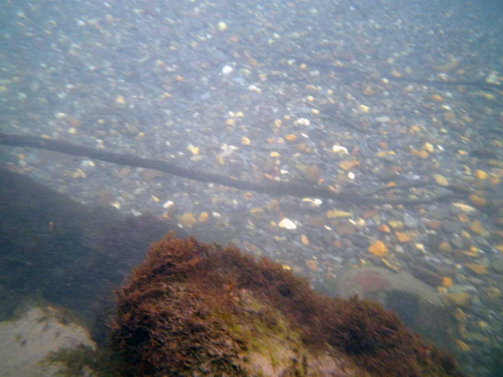
No fish observations occurred during this survey.
Photos
Questions or comments about this report can be directed to dfg.dsf.webmaster@alaska.gov