Fish Passage Site 10302193
Coordinates (dec. deg.): 58.41445°, -134.61026°
Legal Description: C040S065E12
Region: Southeast
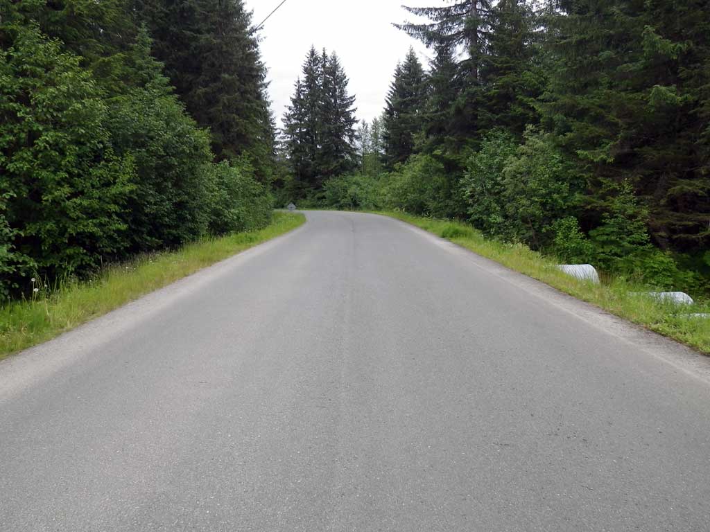
Road Name: Montana Creek Road
Datum: NAD83
Quad Name / ITM: Juneau B-2
AWC Stream #:
Stream Name: Montana Creek side channel
Elevation:
Site Comments: Site is downstream from MCR 01 and 02.
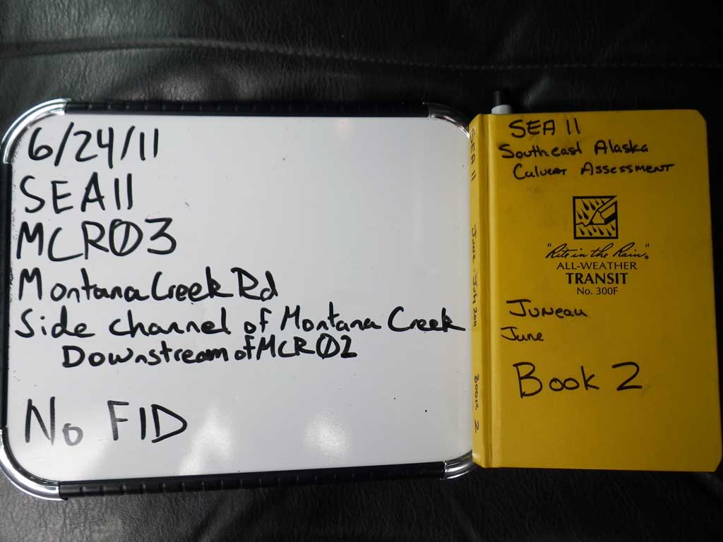
Survey SEA11-MCR03
Project Supervisor: Gillian O'Doherty, Alaska Department of Fish and Game
— Anchorage, AK
Observers: Mark Eisenman, Jason Olds
Overall Fish Passage Rating:
Tidal: No
Backwatered: Yes
Step Pools: No
Construction Year:
Site Observations:
- Culvert gradient gray
- Constriction ratio gray
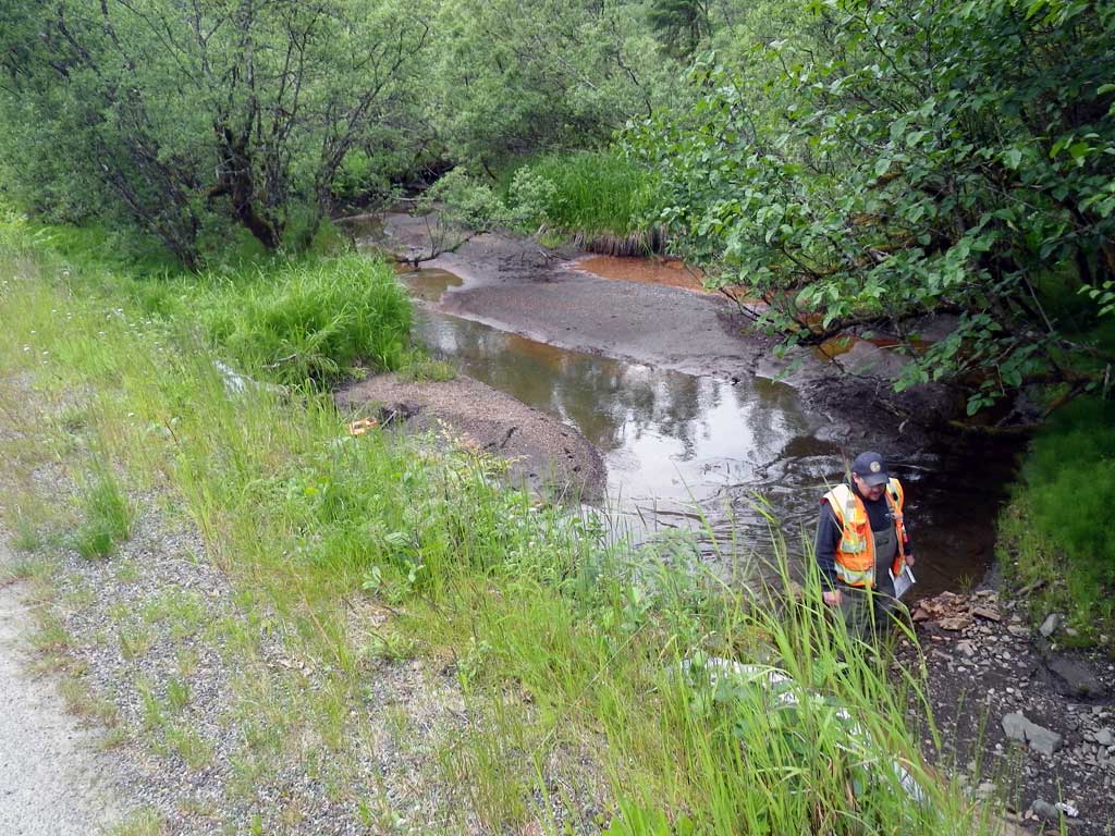
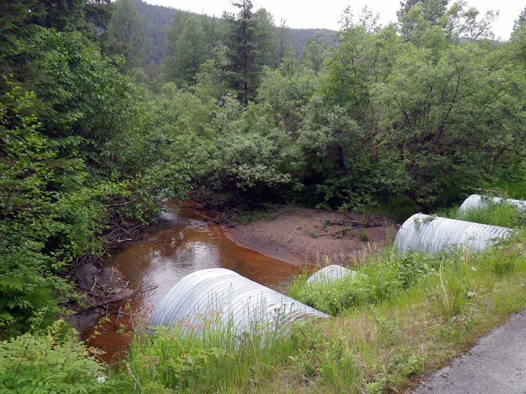
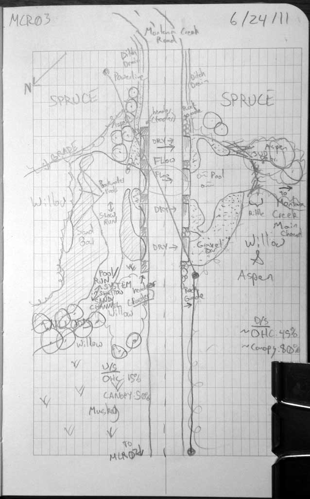
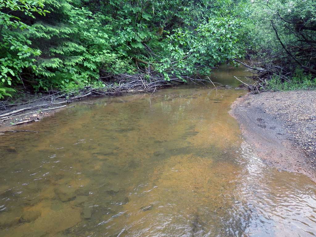
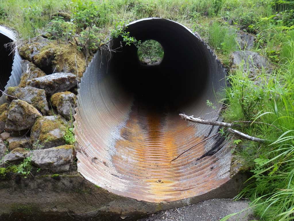
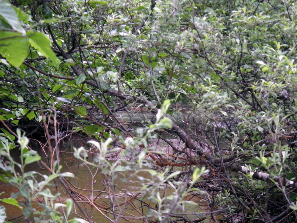
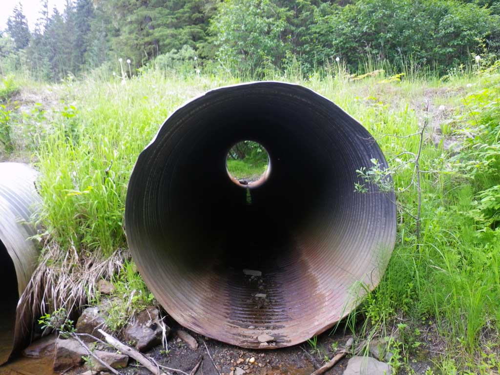
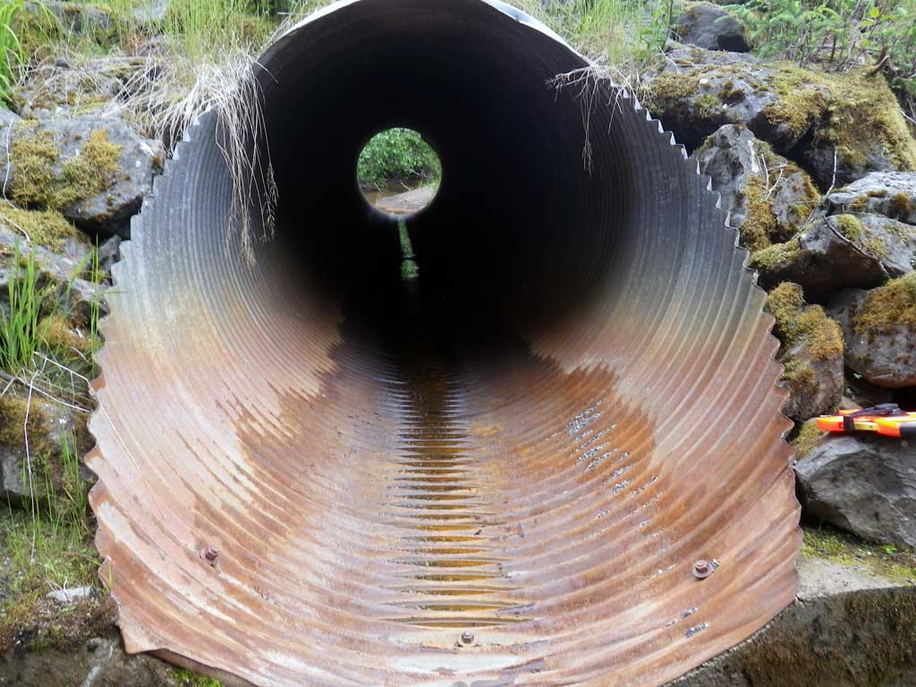
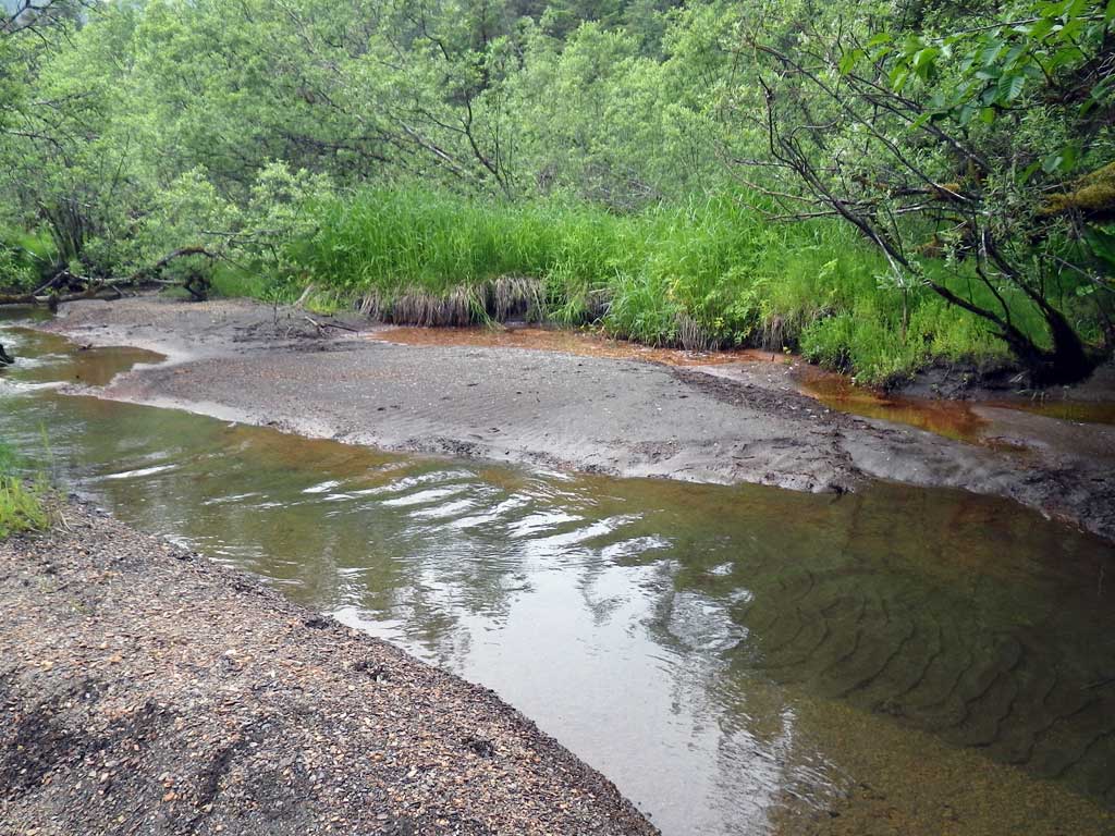
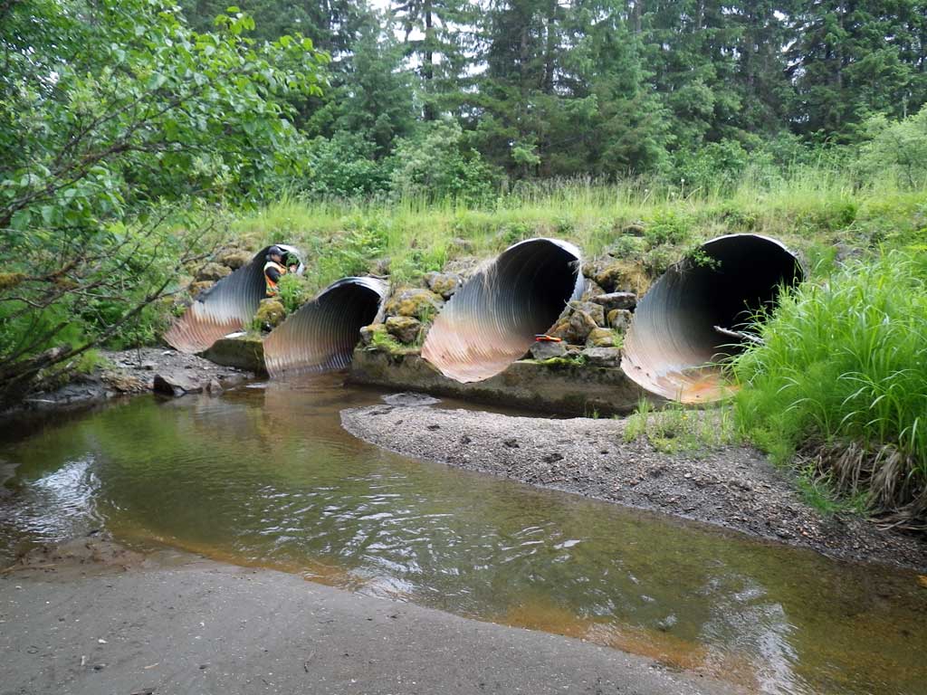
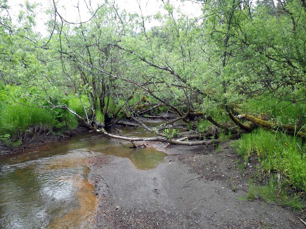
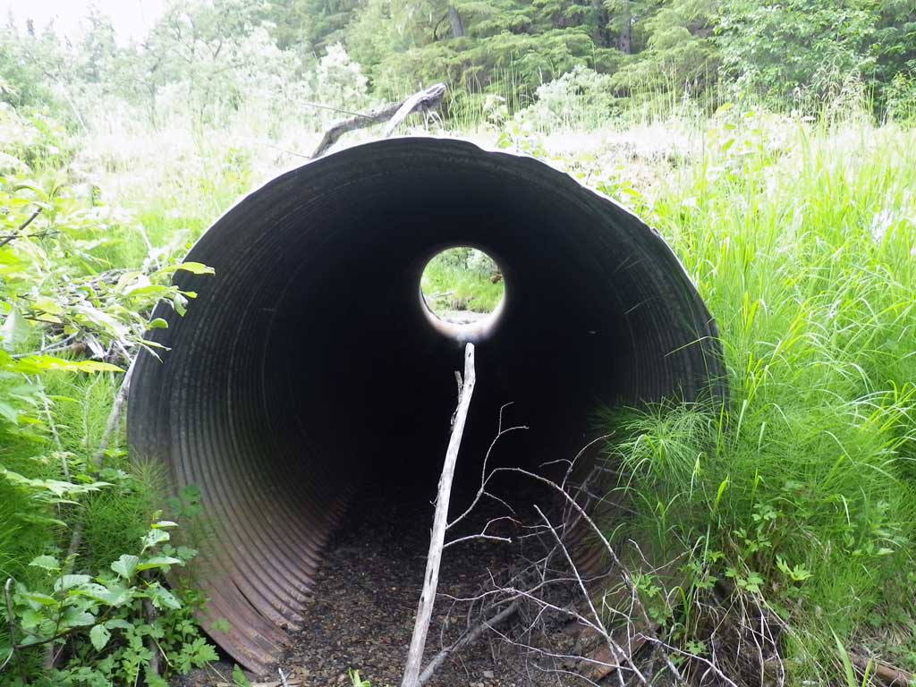
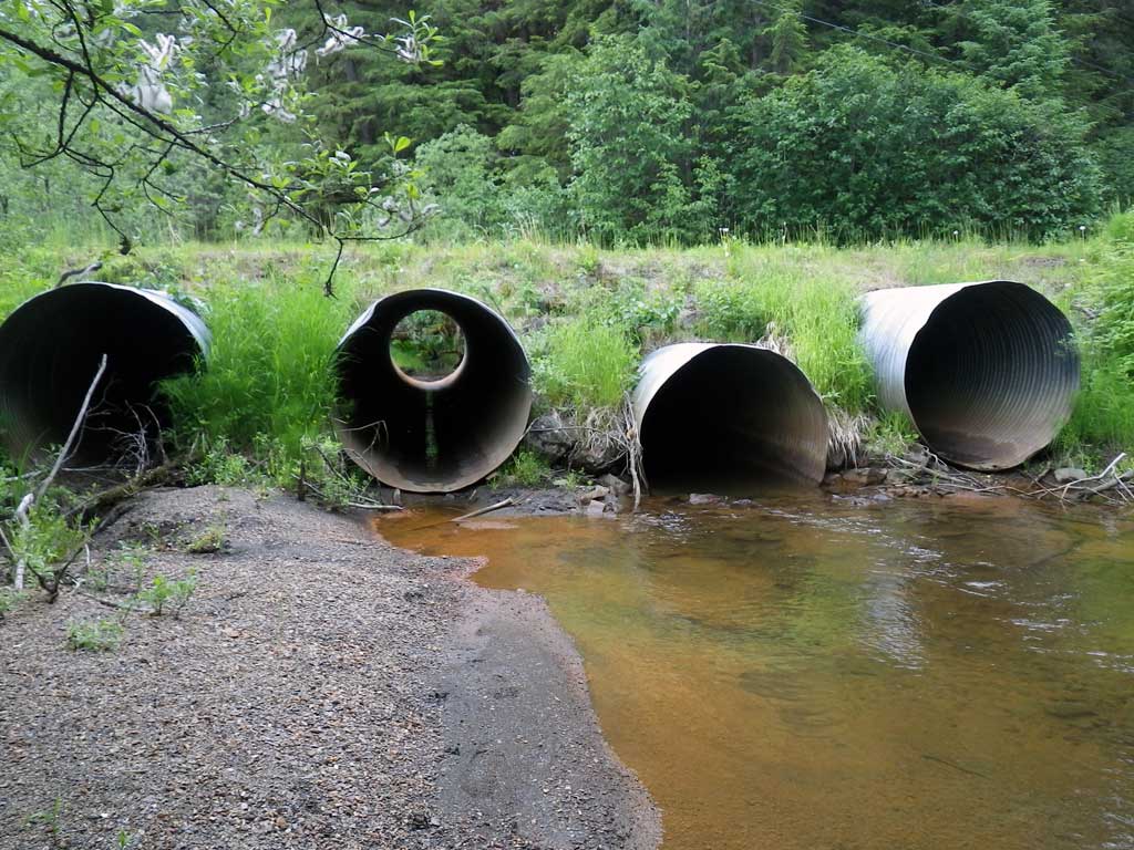
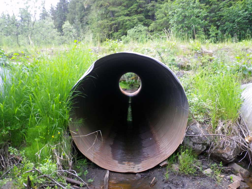
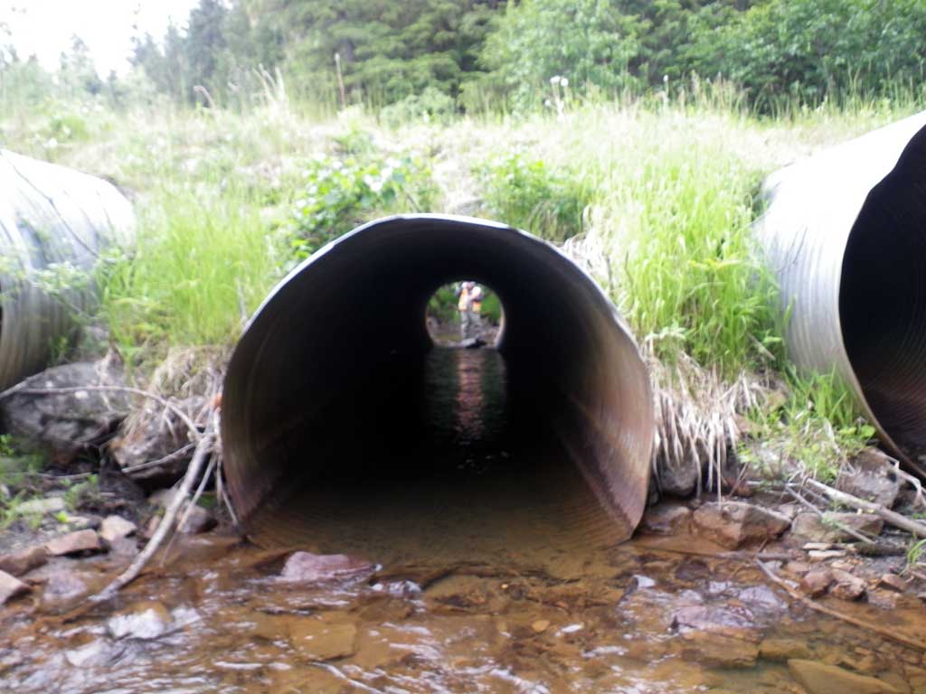
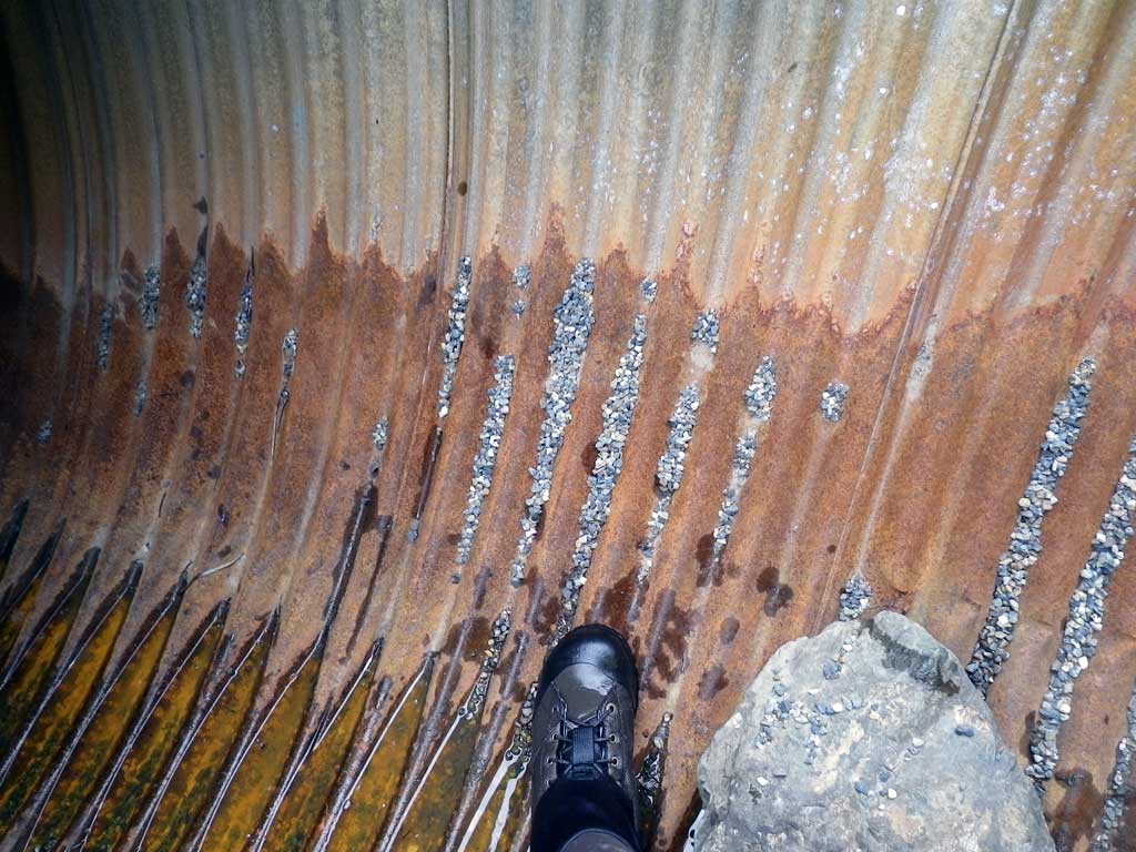
Comments: Main flow is through C2. Fry seen upstream/downstream from culverts. C2 is set up to take most of the flow @ lower water levels. Culvert 1/3/4 set higher for flood events. Heavily vegetated upstream. No stream grade calculated.
Culvert Measurements
| ID: 1 | Structure Type: Circular pipe (Corrugated steel) | Fish Passage Rating: | |||||||||||||||||||||||||||||||||||||||||
|
|
|
|||||||||||||||||||||||||||||||||||||||||
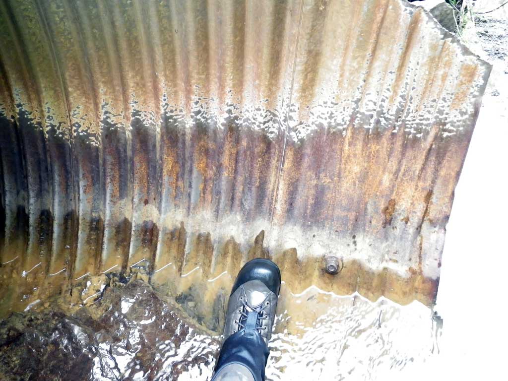
Comments: Dry culvert at time of survey. |
|||||||||||||||||||||||||||||||||||||||||||
Culvert Observations:
|
|||||||||||||||||||||||||||||||||||||||||||
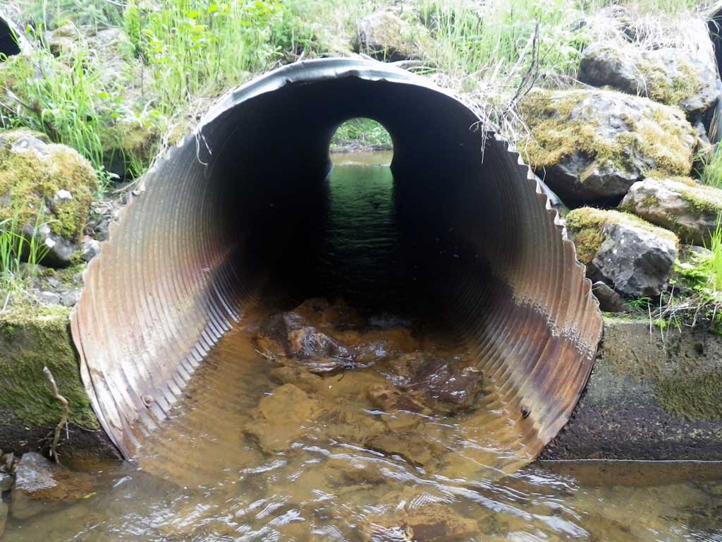
| ID: 2 | Structure Type: Circular pipe (Corrugated steel) | Fish Passage Rating: | |||||||||||||||||||||||||||||||||||||||||
|
|
|
|||||||||||||||||||||||||||||||||||||||||
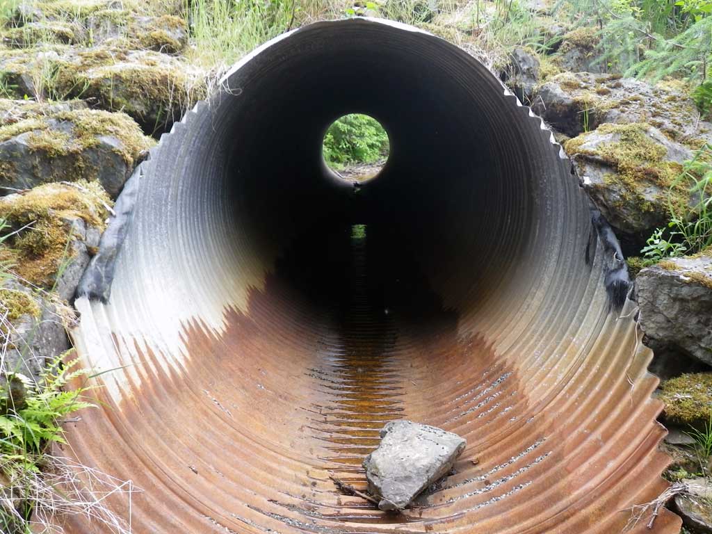
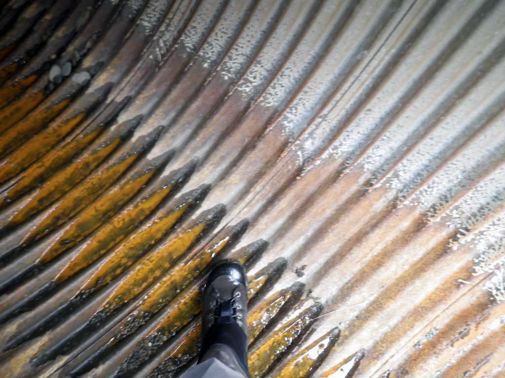
Comments: Pipe 2 is backwatered and rated Green. |
|||||||||||||||||||||||||||||||||||||||||||
Culvert Observations:
|
|||||||||||||||||||||||||||||||||||||||||||
| ID: 3 | Structure Type: Circular pipe (Corrugated steel) | Fish Passage Rating: | |||||||||||||||||||||||||||||||||||||||||
|
|
|
|||||||||||||||||||||||||||||||||||||||||
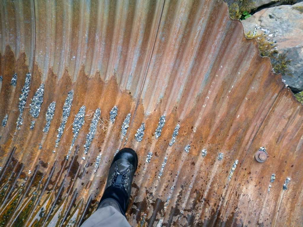
Comments: Dry culvert. |
|||||||||||||||||||||||||||||||||||||||||||
Culvert Observations:
|
|||||||||||||||||||||||||||||||||||||||||||
| ID: 4 | Structure Type: Circular pipe (Corrugated steel) | Fish Passage Rating: | |||||||||||||||||||||||||||||||||||||||||
|
|
|
|||||||||||||||||||||||||||||||||||||||||
Comments: Dry culvert. |
|||||||||||||||||||||||||||||||||||||||||||
Culvert Observations:
|
|||||||||||||||||||||||||||||||||||||||||||
Stream Measurements
|
|
| Stream Width Type | Distance From Crossing (ft) |
Stream Width (ft) |
|---|---|---|
| Upstream ordinary high water | 57.0 | 17.20 |
| Upstream ordinary high water | 108.0 | 15.20 |
| Upstream ordinary high water | 128.0 | 19.00 |
Elevations
| Locator ID | Culvert Number |
River Distance (ft)1 |
Distance From Crossing (ft)2 |
Relative Elevation (ft) |
|---|---|---|---|---|
| Road Elev | 100.00 | |||
| D/S Grade Ctrl (Thalweg) | 0.00 | 90.74 | ||
| D/S Water Surface Elev | 0.00 | 91.19 | ||
| D/S Tailcrest or 1st Thalweg | 24.00 | 90.85 | ||
| D/S Water Surface Elev | 24.00 | 91.30 | ||
| D/S Water Surface Elev | 36.50 | 91.29 | ||
| Max Pool Depth | 36.50 | 89.75 | ||
| Outlet Invert (on substrate) | 2 | 50.00 | 90.41 | |
| Outlet Invert (on metal) | 1 | 50.00 | 90.75 | |
| D/S Water Surface Elev | 2 | 50.00 | 91.34 | |
| Outlet Invert (on metal) | 3 | 50.00 | 91.53 | |
| Outlet Invert (on substrate) | 4 | 50.00 | 92.05 | |
| Outlet Culvert Top | 2 | 50.00 | 95.84 | |
| Outlet Culvert Top | 3 | 50.00 | 97.56 | |
| Outlet Culvert Top | 4 | 50.00 | 97.73 | |
| Outlet Culvert Top | 1 | 50.00 | 97.75 | |
| Inlet Culvert Top (top of miter) | 1 | 94.90 | 98.28 | |
| Inlet Culvert Top (top of miter) | 4 | 94.90 | 98.29 | |
| Inlet Culvert Top (top of miter) | 3 | 94.90 | 98.31 | |
| Inlet Culvert Top (top of miter) | 2 | 98.00 | 96.47 | |
| Inlet Culvert Invert (on metal) | 3 | 100.70 | 92.37 | |
| Inlet Culvert Invert (on metal) | 4 | 100.90 | 92.46 | |
| Inlet Culvert Invert (on metal) | 1 | 101.00 | 92.36 | |
| Inlet Culvert Invert (on substrate) | 2 | 101.00 | 90.73 | |
| U/S Water Surface Elev | 2 | 101.00 | 91.61 | |
| U/S Thalweg | 106.00 | 90.62 | ||
| U/S Water Surface Elev | 106.00 | 91.60 |
Notes:
- River distance is measured continuously throughout the survey reach along the thalweg of the stream.
- Measured from each end of the crossing along the thalweg of the stream.
Fish Sampling Efforts
| Gear Type: Visual Observation, Ground (A) | Trap Duration(h): 30.0 | |
| Channel Type: Main Channel (>50% of water flow) | ||
| Comments: Juveniles seen upstream and downstream from culvert. | ||
Fish Observations
No fish observations occurred during this survey.
Photos
Questions or comments about this report can be directed to dfg.dsf.webmaster@alaska.gov