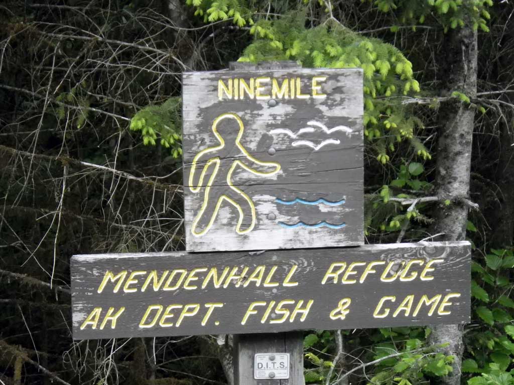
Fish Passage Site 10302192
Coordinates (dec. deg.): 58.32324°, -134.60719°
Legal Description: C041S066E10
Region: Southeast
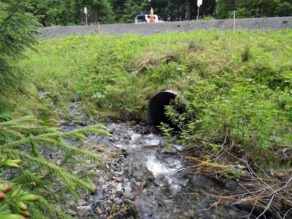
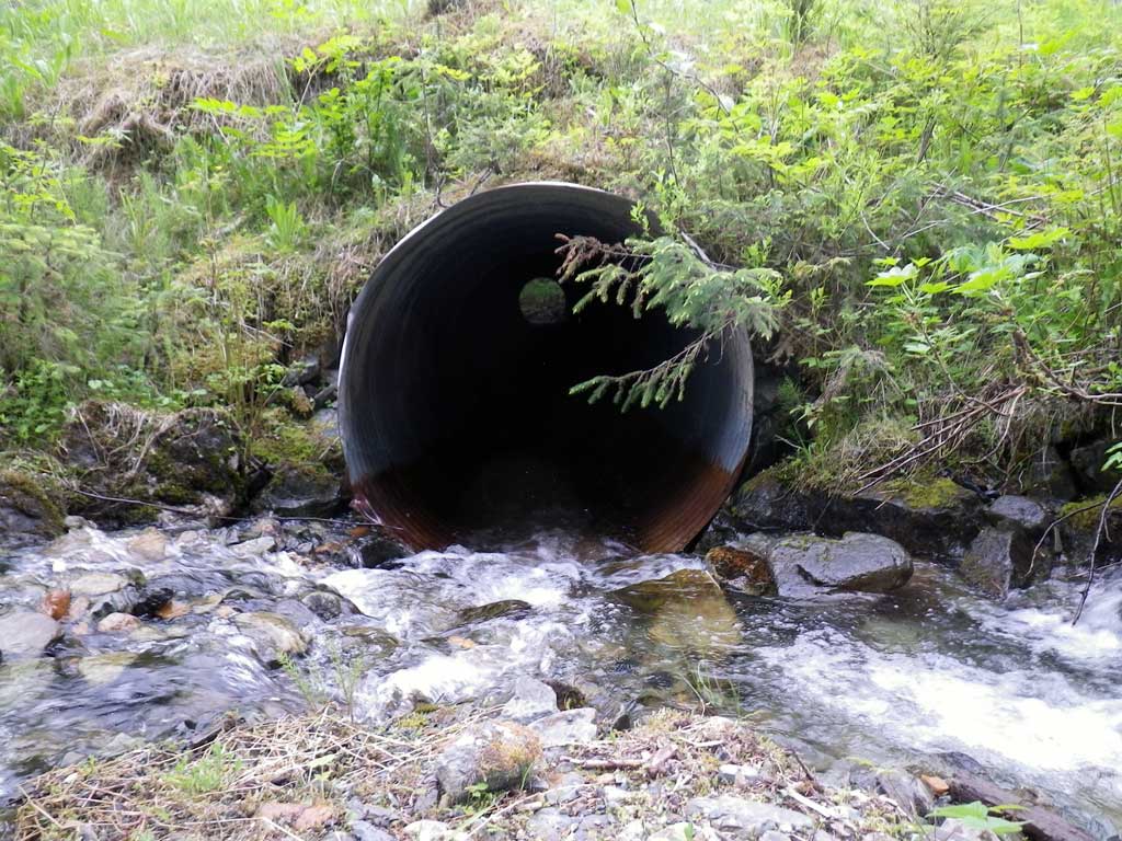
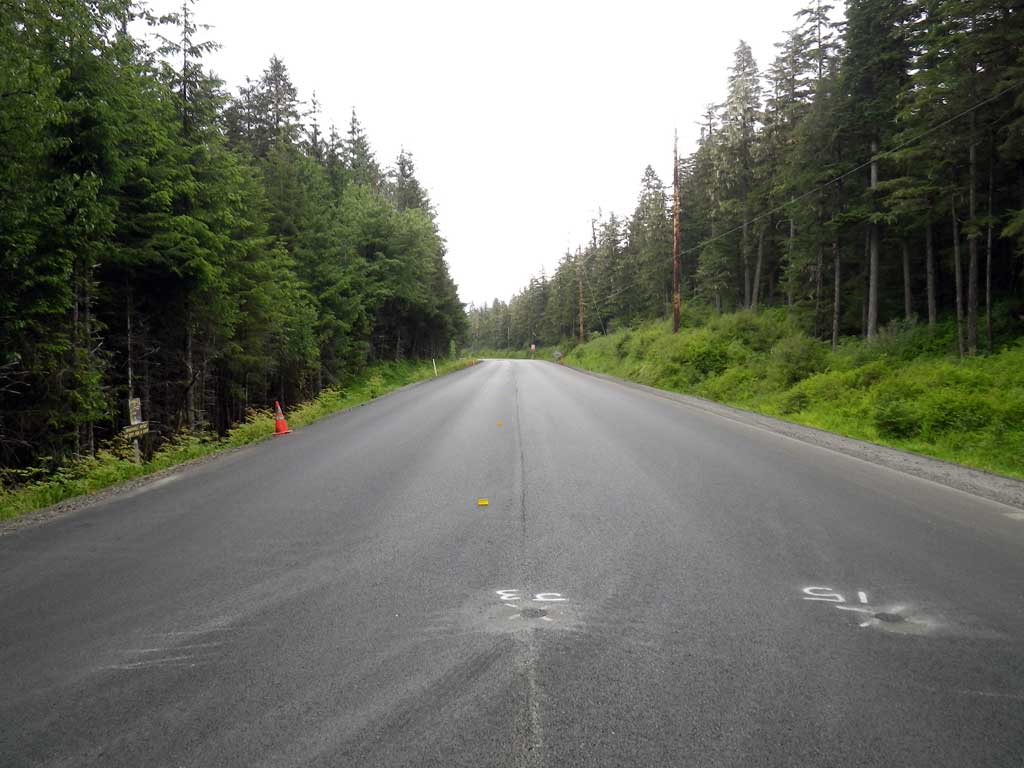
Road Name: North Douglas Highway
Datum: NAD83
Quad Name / ITM: Juneau B-2
AWC Stream #:
Stream Name: Unnamed
Elevation:
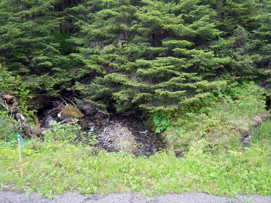
Site Comments: North Douglas Highway at MP 10
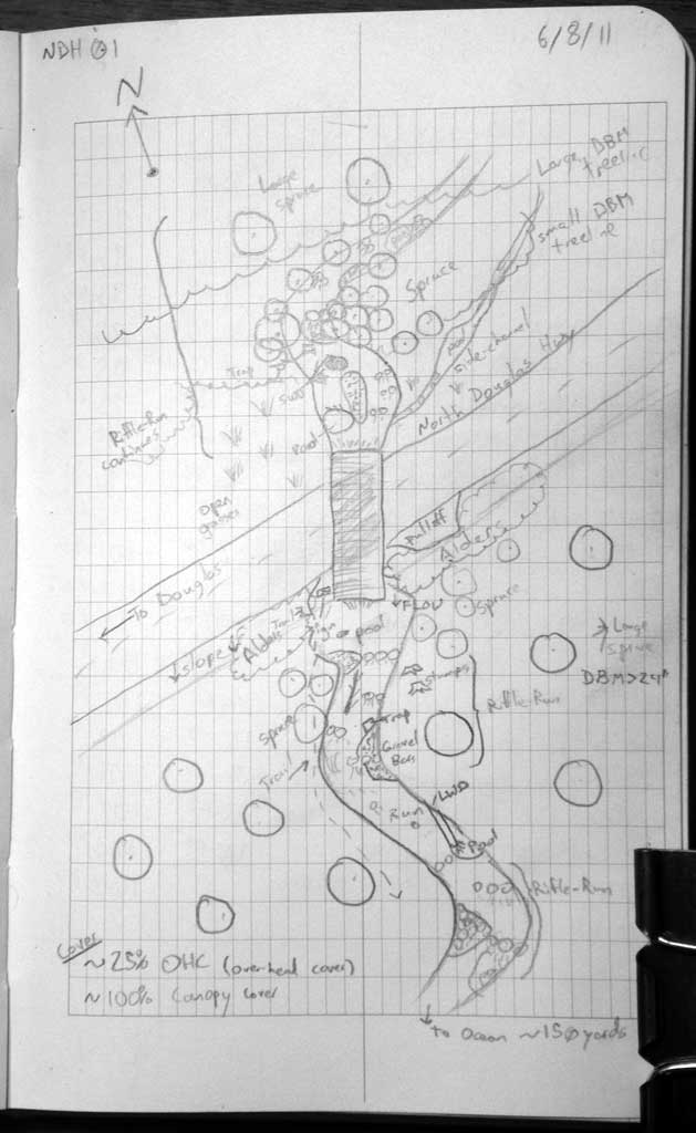
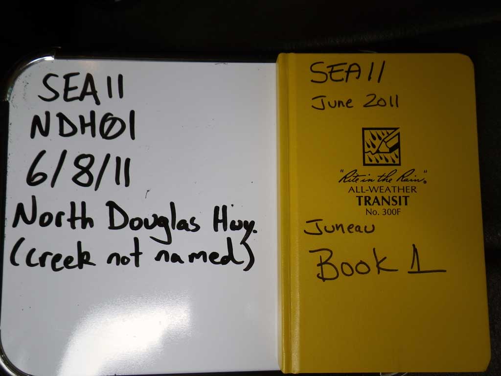
Survey SEA11-NDH01
Project Supervisor: Gillian O'Doherty, Alaska Department of Fish and Game
— Anchorage, AK
Observers: Mark Eisenman, Jason Olds
Overall Fish Passage Rating:
Tidal: No
Backwatered: No
Step Pools: No
Construction Year:
Site Observations:
- Culvert gradient red
- Outfall height red
- Constriction ratio gray
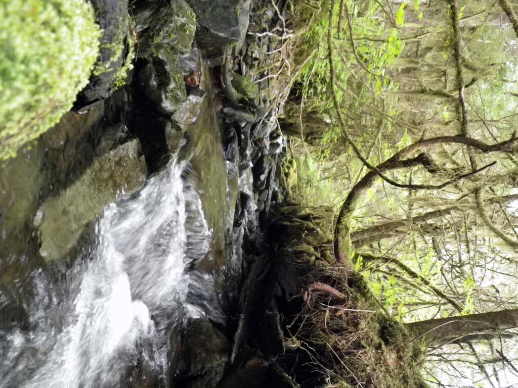
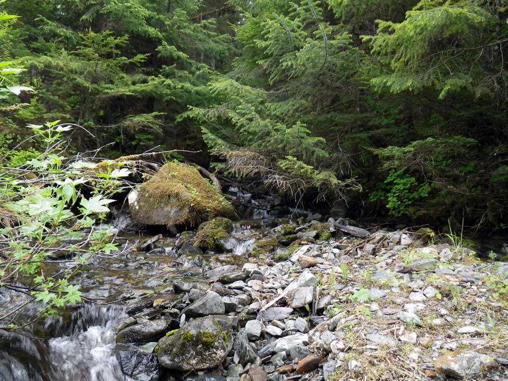
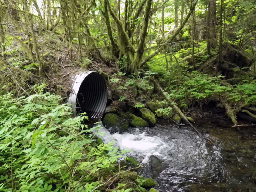
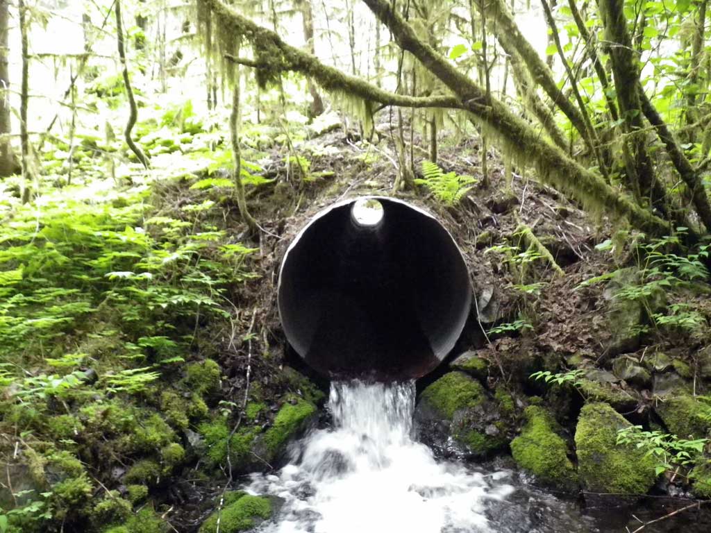
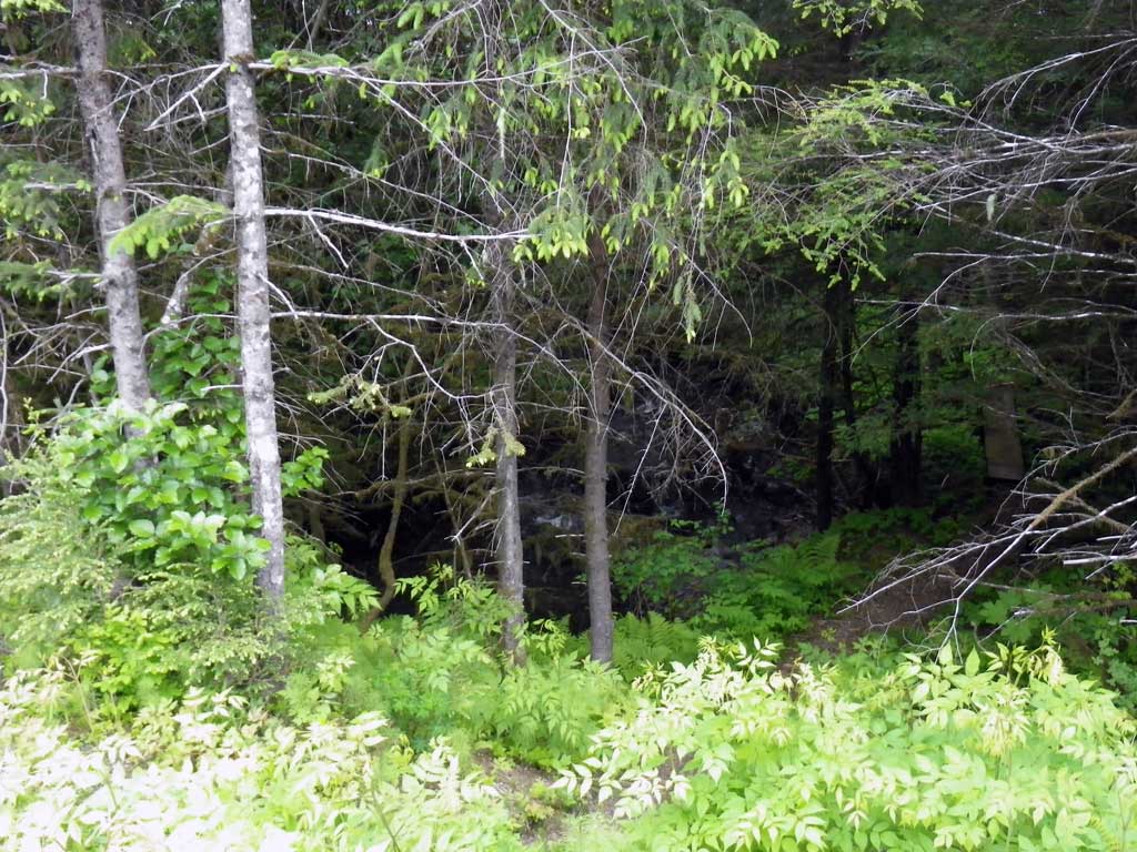
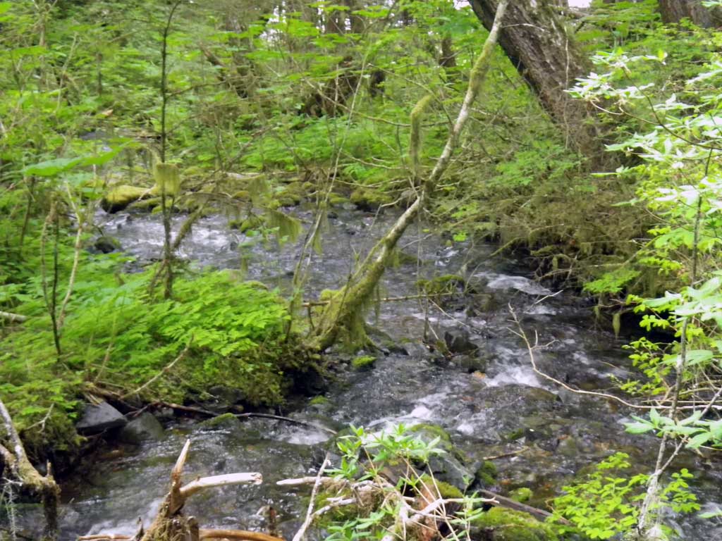
Comments: Beautiful habitat from ocean to outlet. Habitat gets steep after inlet, however levels out approximately 50 feet upstream again to nice pool complexes.
Culvert Measurements
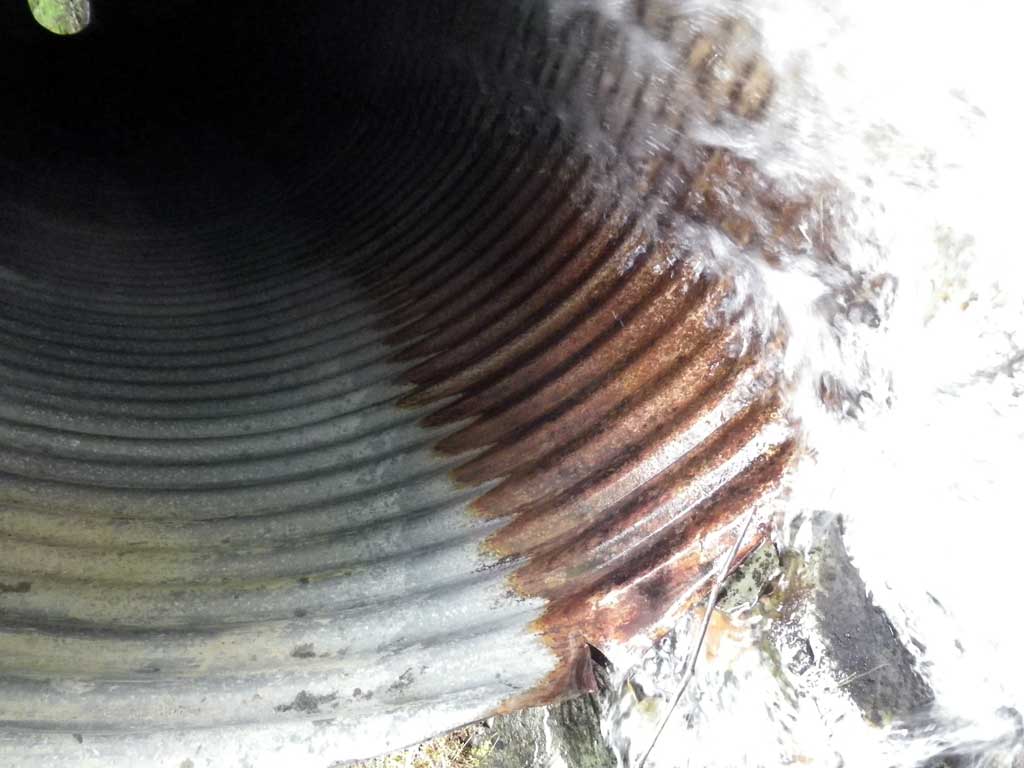
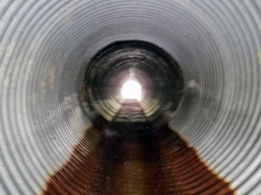
| ID: 1 | Structure Type: Circular pipe (Corrugated steel) | Fish Passage Rating: | |||||||||||||||||||||||||||||||||||||||||
|
|
|
|||||||||||||||||||||||||||||||||||||||||
Culvert Observations:
|
|||||||||||||||||||||||||||||||||||||||||||
Stream Measurements
|
|
| Stream Width Type | Distance From Crossing (ft) |
Stream Width (ft) |
|---|---|---|
| Upstream ordinary high water | 38.0 | 6.50 |
| Upstream ordinary high water | 74.0 | 6.60 |
| Upstream ordinary high water | 109.0 | 6.00 |
Elevations
| Locator ID | Culvert Number |
River Distance (ft)1 |
Distance From Crossing (ft)2 |
Relative Elevation (ft) |
|---|---|---|---|---|
| Road Elev | 111.99 | |||
| D/S Grade Ctrl (Thalweg) | 0.00 | 91.29 | ||
| D/S Water Surface Elev | 0.00 | 91.86 | ||
| D/S Grade Ctrl (Thalweg) | 17.00 | 93.29 | ||
| D/S Water Surface Elev | 17.00 | 93.66 | ||
| D/S Tailcrest or 1st Thalweg | 33.00 | 95.11 | ||
| D/S Water Surface Elev | 33.00 | 95.54 | ||
| Outlet Pool Water Elev | 42.50 | 95.40 | ||
| Max Pool Depth | 42.50 | 93.61 | ||
| Outlet Invert (bottom of pipe) | 48.00 | 96.36 | ||
| D/S Water Surface Elev | 48.00 | 96.67 | ||
| Outlet Culvert Top | 48.00 | 101.00 | ||
| Inlet Culvert Invert (bottom of pipe) | 128.00 | 101.77 | ||
| U/S Water Surface Elev | 128.00 | 102.52 | ||
| Inlet Culvert Top | 128.00 | 106.71 | ||
| Misc. (Substrate below upstream headwater control point) | 132.00 | 102.99 | ||
| U/S Headwater | 132.00 | 103.41 |
Notes:
- River distance is measured continuously throughout the survey reach along the thalweg of the stream.
- Measured from each end of the crossing along the thalweg of the stream.
Fish Sampling Efforts
| Gear Type: Minnow Trap (A) | Trap Duration(h): 2.0 | |
| Comments: No fish observed or captured | ||
| Gear Type: Minnow Trap (B) | Trap Duration(h): 2.0 | |
| Comments: No fish were observed or captured | ||
Fish Observations
No fish observations occurred during this survey.
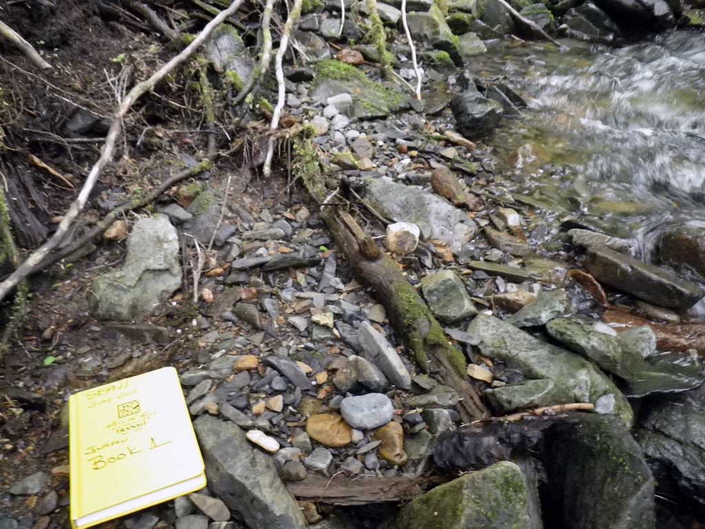
Photos
Questions or comments about this report can be directed to dfg.dsf.webmaster@alaska.gov