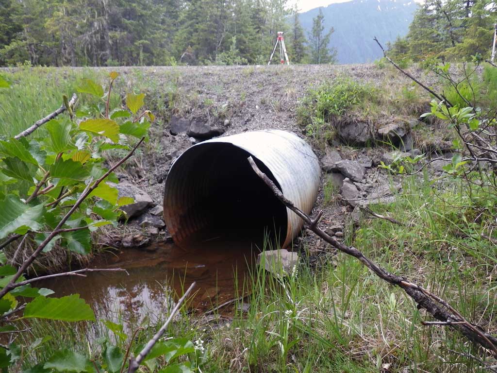
Fish Passage Site 10302191
Coordinates (dec. deg.): 58.41699°, -134.59096°
Legal Description: C040S066E07
Region: Southeast
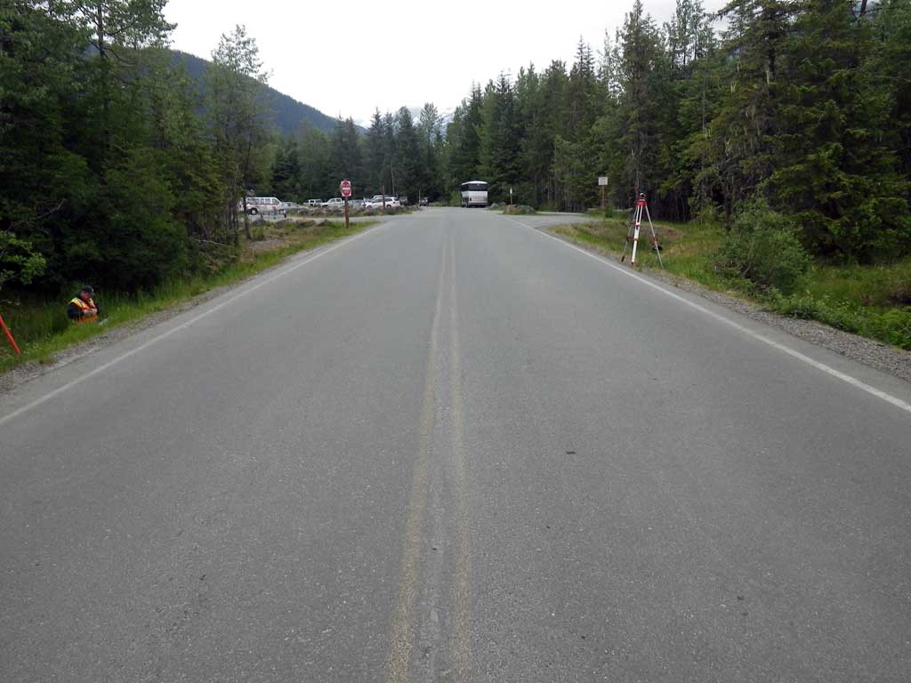
Road Name: Skater Cabin Road
Datum: NAD83
Quad Name / ITM: Juneau B-2
AWC Stream #:
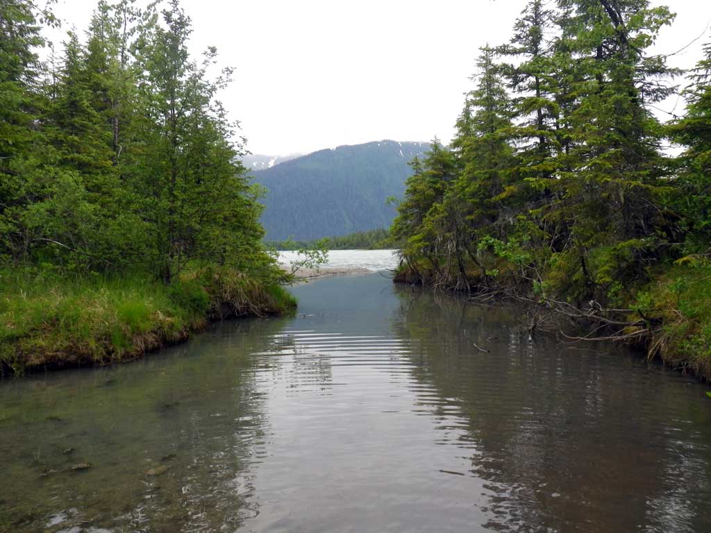
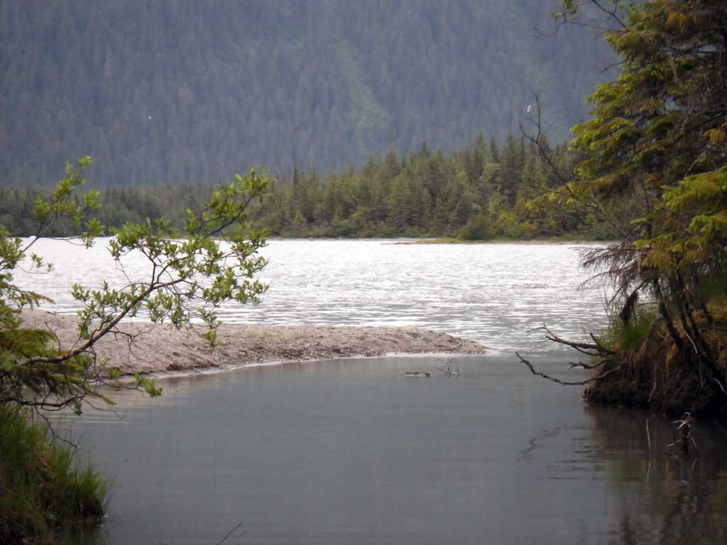
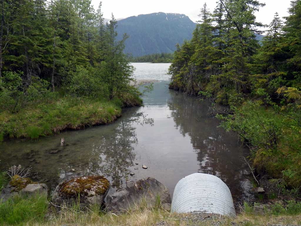
Stream Name: Mendenhall Lake tributary
Elevation:
Site Comments: None
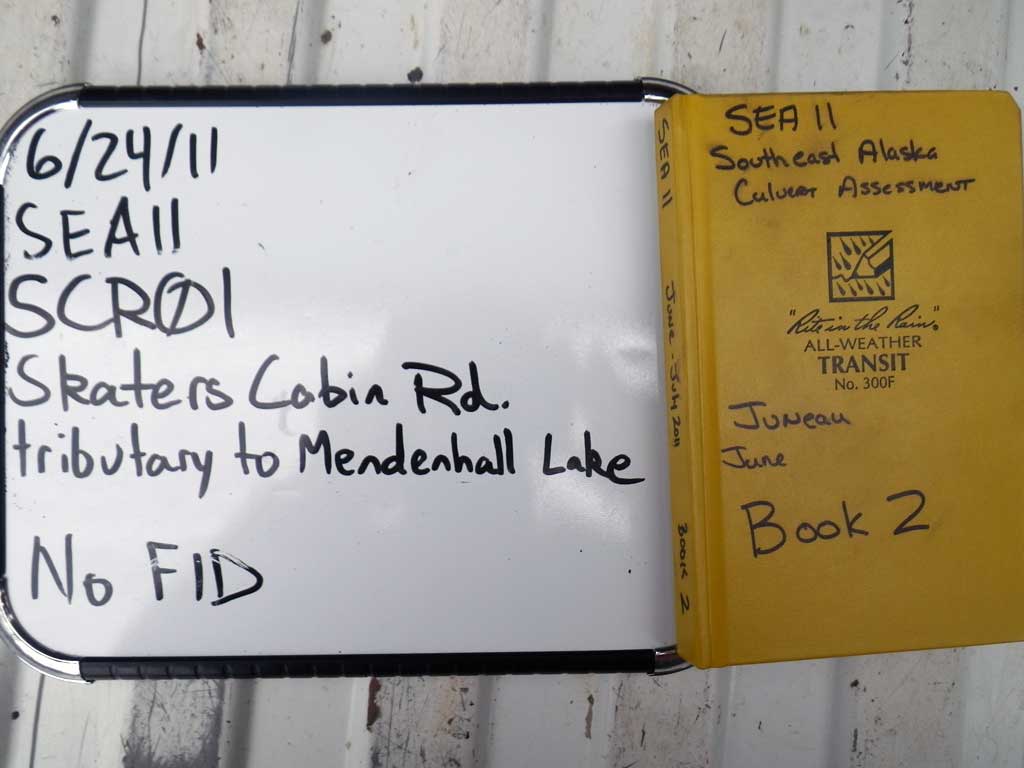
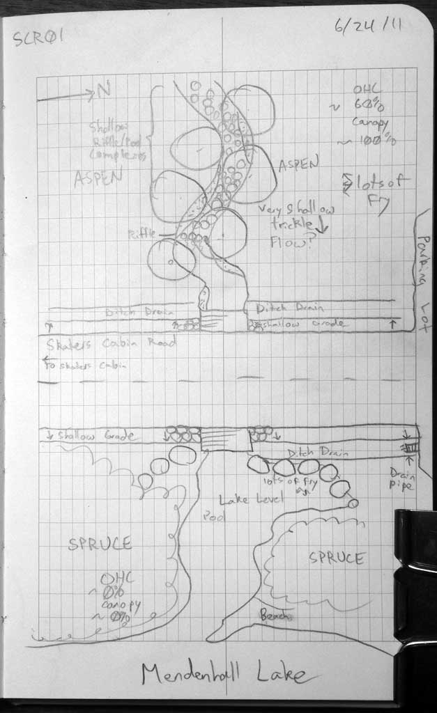
Survey SEA11-SCR01
Project Supervisor: Gillian O'Doherty, Alaska Department of Fish and Game
— Anchorage, AK
Observers: Mark Eisenman, Jason Olds
Overall Fish Passage Rating:
Tidal: No
Backwatered: Yes
Step Pools: No
Construction Year:
Site Observations:
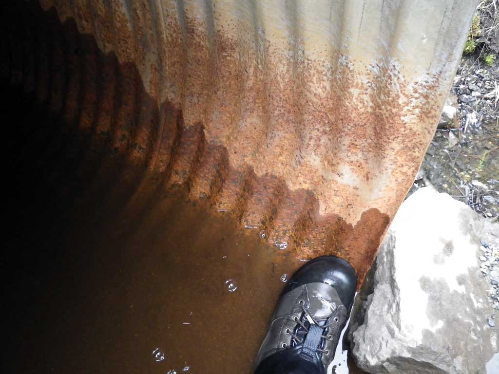
- Culvert gradient gray
- Constriction ratio gray
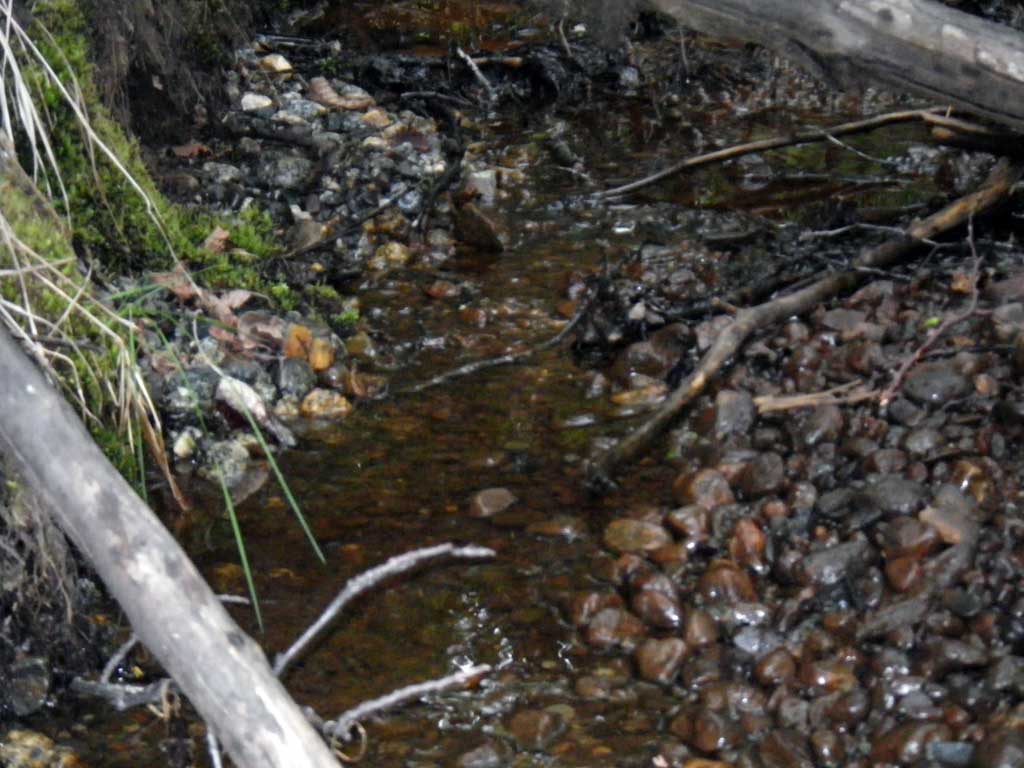
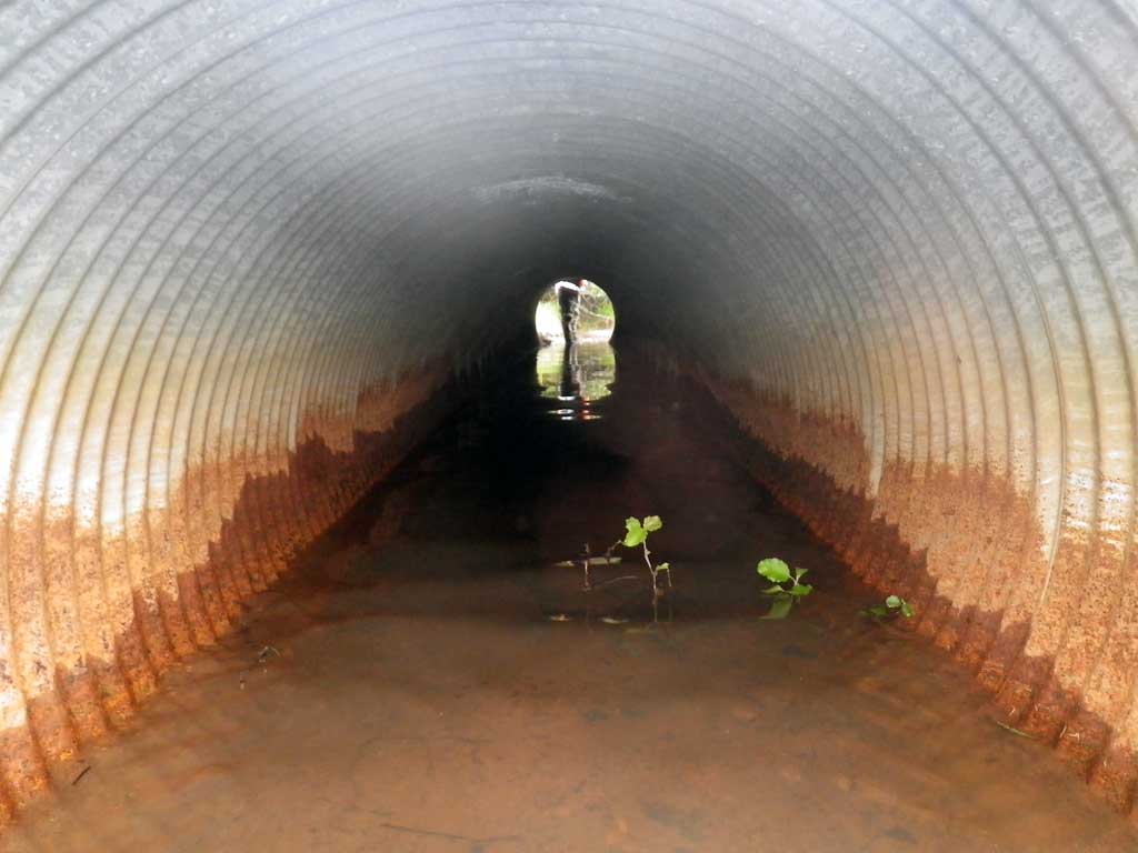
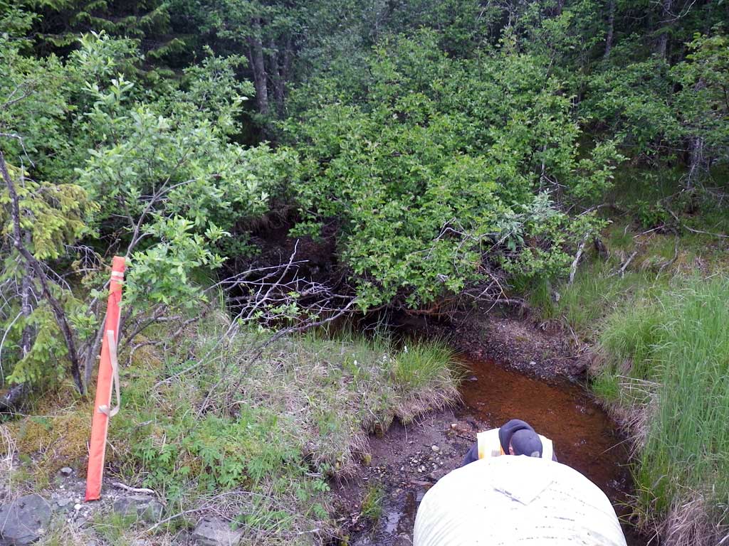
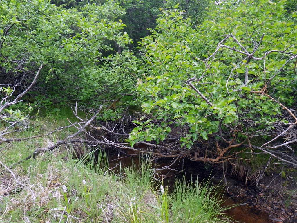
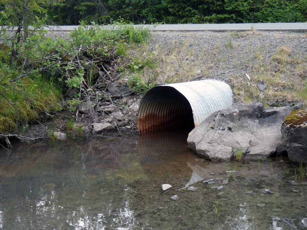
Comments: Unidentified juvenile salmonids observed upstream and downstream from culvert. Stream empties out directy into Mendenhall Lake. Creek becomes trickle about 40 feet upstream from culvert, but fry observed throughout upstream pools. Stream size consistant though must of observed length.
Culvert Measurements
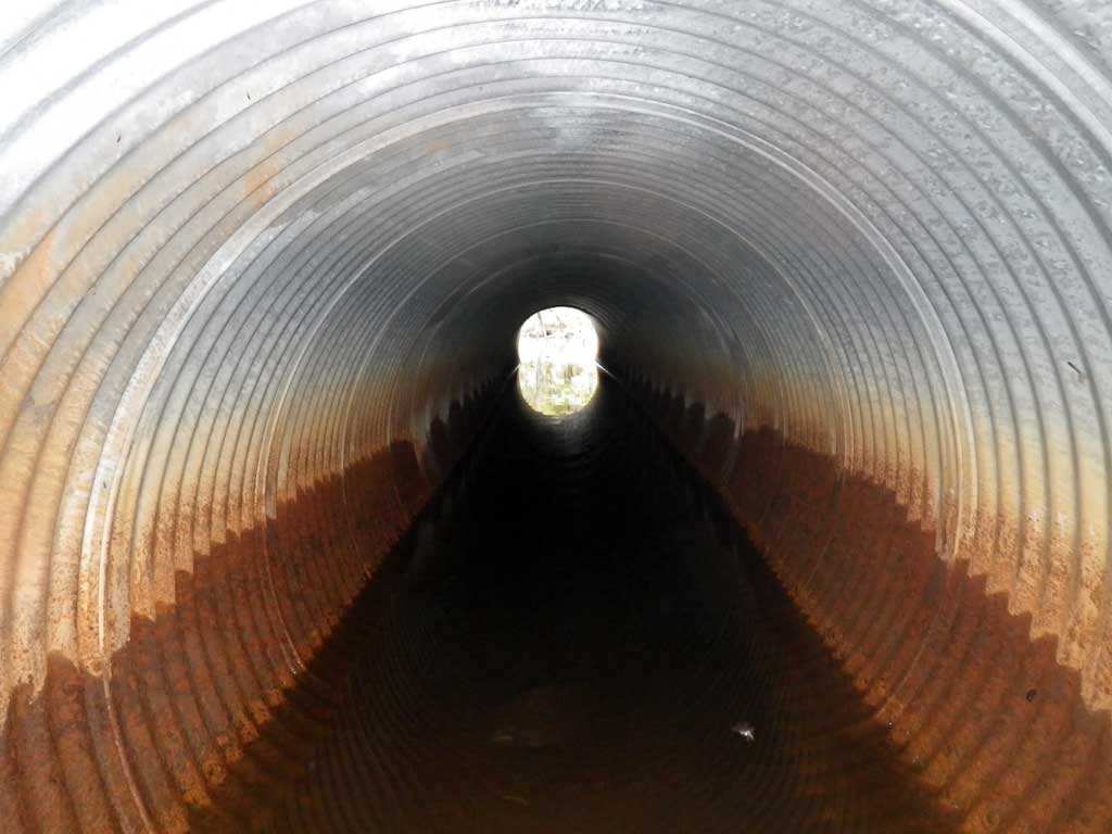
| ID: 1 | Structure Type: Circular pipe (Corrugated steel) | Fish Passage Rating: | |||||||||||||||||||||||||||||||||||||||||
|
|
|
|||||||||||||||||||||||||||||||||||||||||
Culvert Observations:
|
|||||||||||||||||||||||||||||||||||||||||||
Stream Measurements
|
|
| Stream Width Type | Distance From Crossing (ft) |
Stream Width (ft) |
|---|---|---|
| Upstream ordinary high water | 28.0 | 5.40 |
| Upstream ordinary high water | 47.0 | 5.60 |
| Upstream ordinary high water | 76.0 | 6.70 |
Elevations
| Locator ID | Culvert Number |
River Distance (ft)1 |
Distance From Crossing (ft)2 |
Relative Elevation (ft) |
|---|---|---|---|---|
| Road Elev (TBM) | 100.00 | |||
| D/S Thalweg (Profile or survey point, lake shore) | 0.00 | 94.22 | ||
| D/S Water Surface Elev | 0.00 | 94.79 | ||
| Outlet Culvert Top (Invert out, on metal) | 7.00 | 97.64 | ||
| Outlet Thalweg (Invert out, on substrate) | 7.00 | 94.01 | ||
| D/S Water Surface Elev (Invert out) | 7.00 | 94.77 | ||
| U/S Headwater (Invert in, 1st resting) | 52.60 | 94.75 | ||
| Inlet Thalweg (Invert in, on substrate) | 52.60 | 94.45 | ||
| Inlet Culvert Top (Invert in, on metal) | 52.60 | 98.03 | ||
| U/S Water Surface Elev | 59.50 | 94.79 | ||
| U/S Thalweg | 59.50 | 94.60 |
Notes:
- River distance is measured continuously throughout the survey reach along the thalweg of the stream.
- Measured from each end of the crossing along the thalweg of the stream.
Fish Sampling Efforts
| Gear Type: Visual Observation, Ground (A) | Trap Duration(h): 10.0 | |
| Channel Type: Main Channel (>50% of water flow) | ||
| Comments: Visual observation of unidentified juvenile salmonids upstream and downstream from culvert. | ||
| Gear Type: Visual Observation, Ground (B) | Trap Duration(h): 10.0 | |
| Channel Type: Main Channel (>50% of water flow) | ||
| Comments: Visual observation | ||
Fish Observations
| Species: juvenile salmonid-unspecified | Life History: Unknown | ||
| Total Fish Observed: 6 | Fish Measured: 0 | Fork Lengths (mm) Min: Max: Mean: | |
| Collected/Observed by Gear Type: Downstream Visual Observation, Ground (0) Upstream Visual Observation, Ground (6) | |||
Photos
Questions or comments about this report can be directed to dfg.dsf.webmaster@alaska.gov