Fish Passage Site 10302189
Coordinates (dec. deg.): 58.36505°, -134.58970°
Legal Description: C040S066E31
Region: Southeast
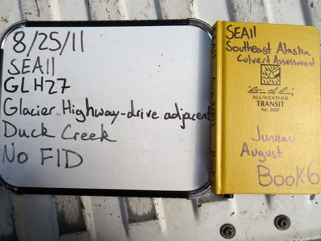
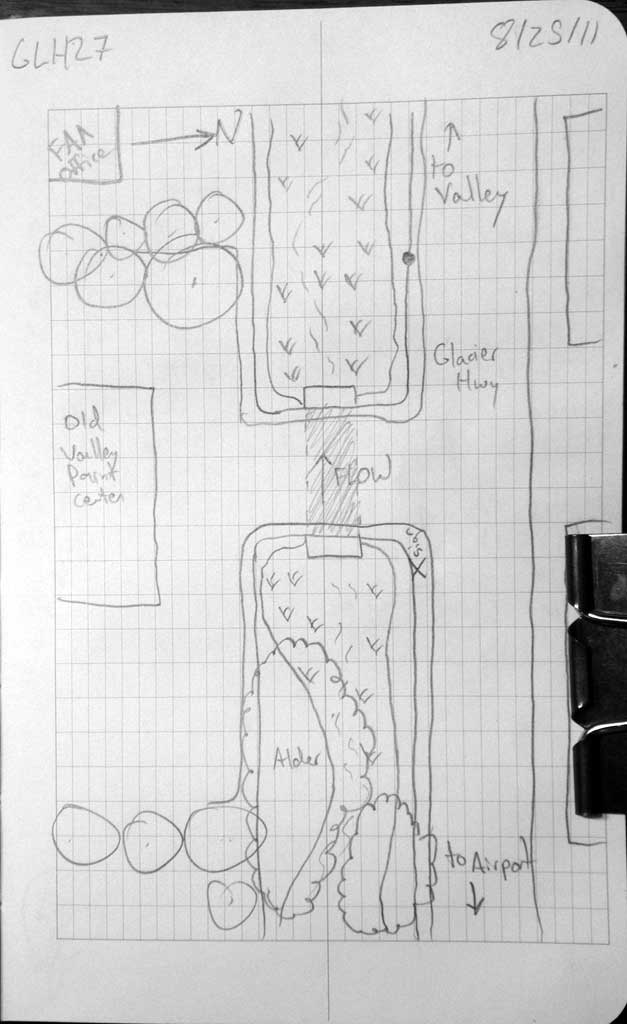
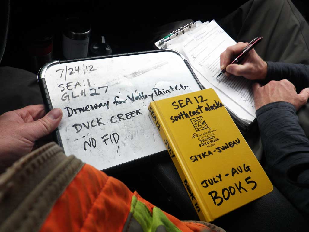
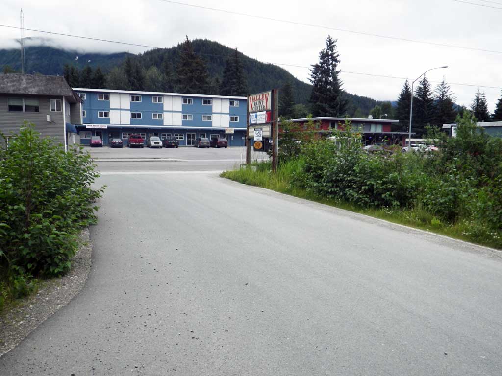
Road Name: Glacier Highway
Datum: NAD83
Quad Name / ITM: Juneau B-2
AWC Stream #:
Stream Name: Duck Creek
Elevation:
Site Comments: None
Survey SEA11-GLH27
Project Supervisor: Gillian O'Doherty, Alaska Department of Fish and Game
— Anchorage, AK
Observers: Jason Olds, Charmagne Gutierrez
Overall Fish Passage Rating:
Tidal: No
Backwatered: Yes
Step Pools: No
Construction Year:
Site Observations:
- None of this type
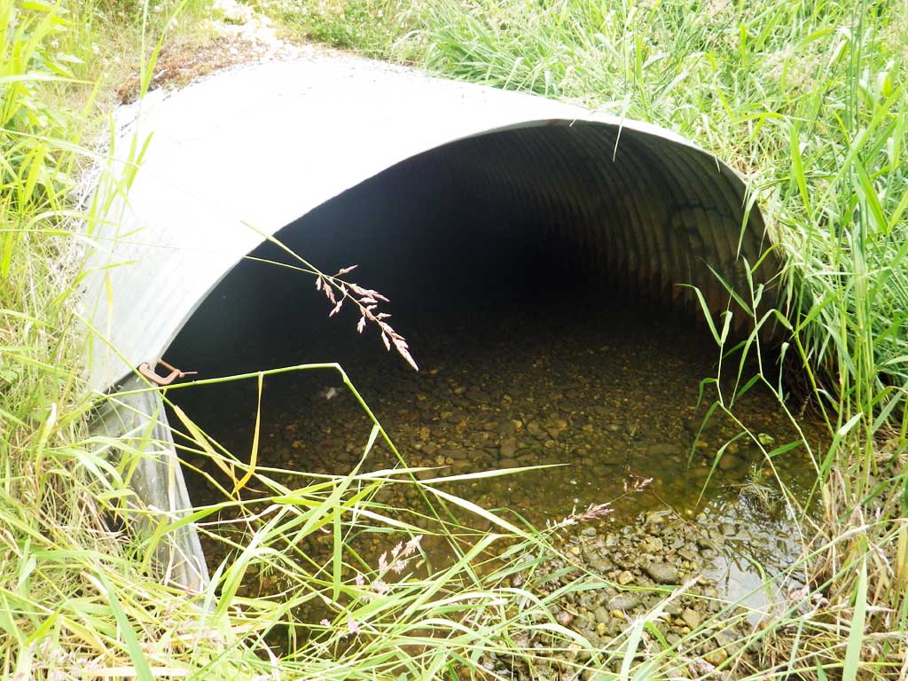
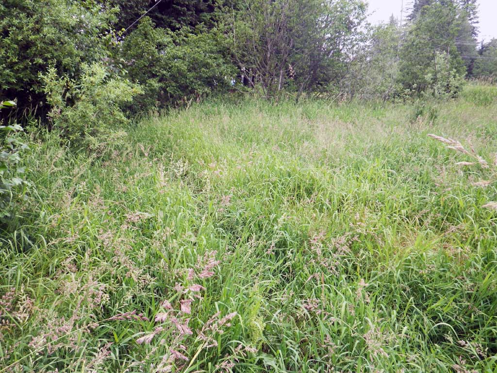
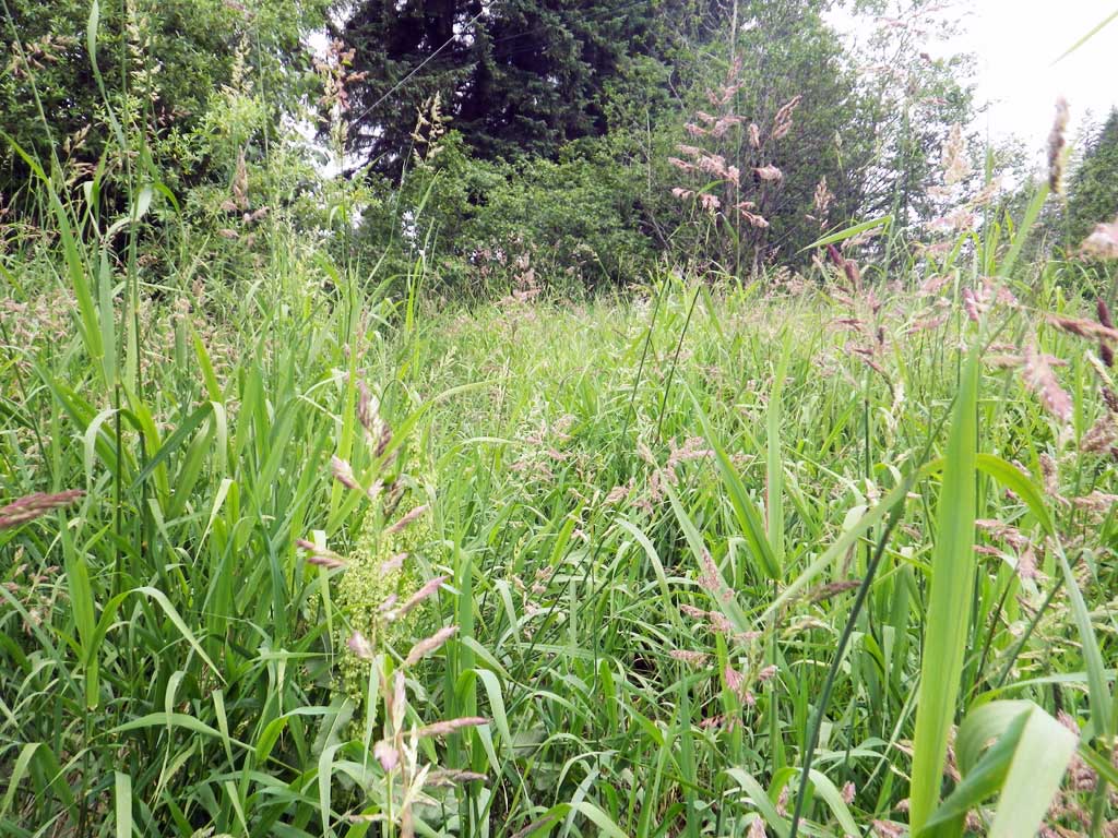
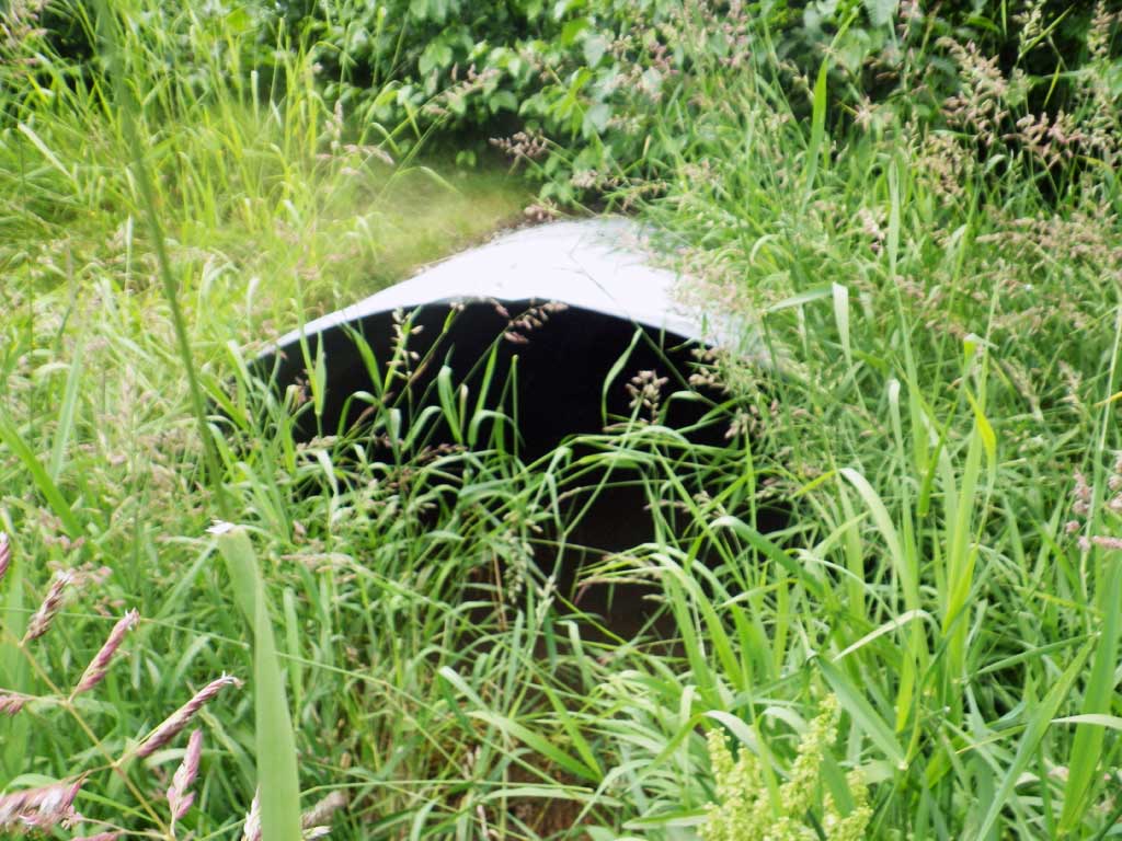
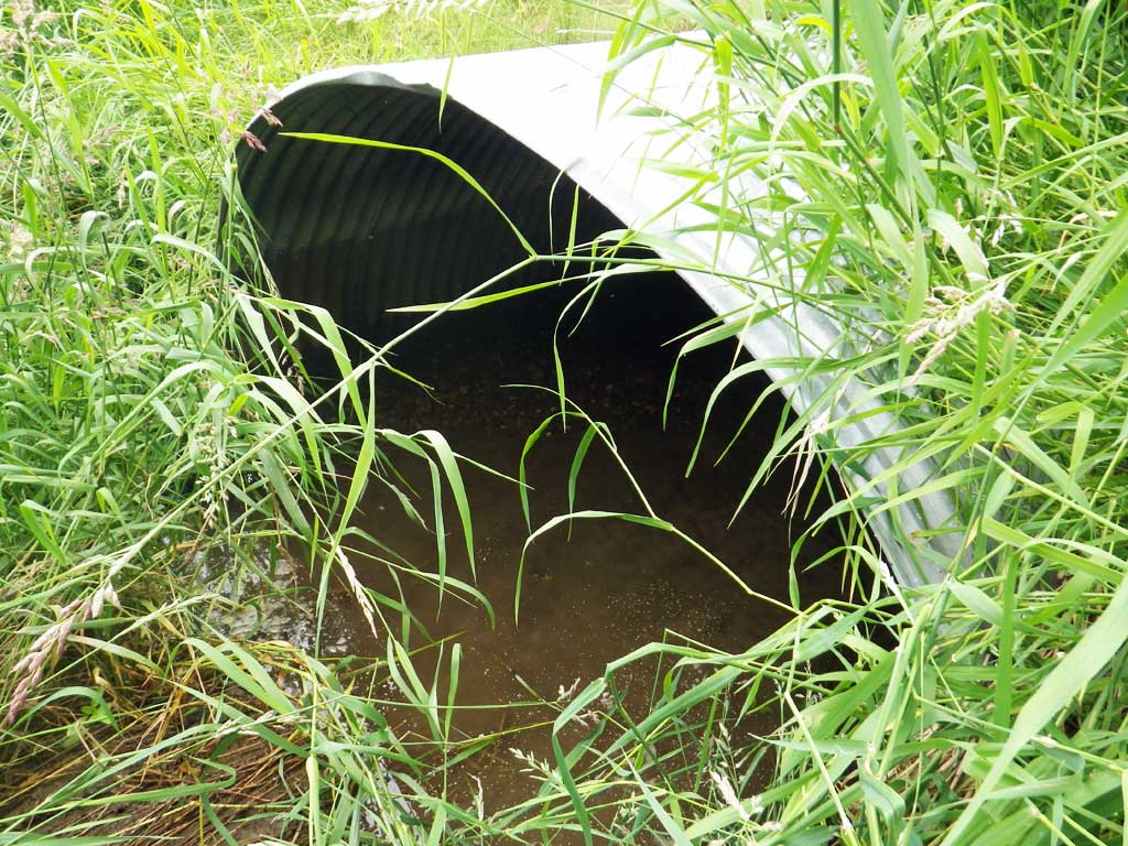
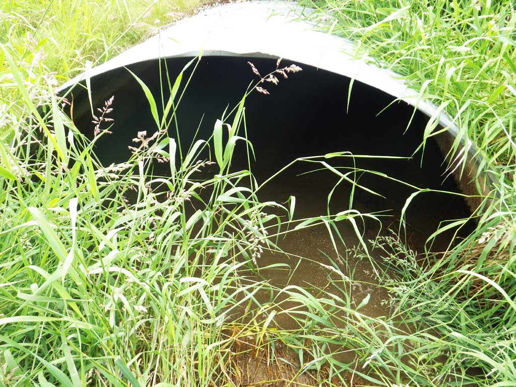
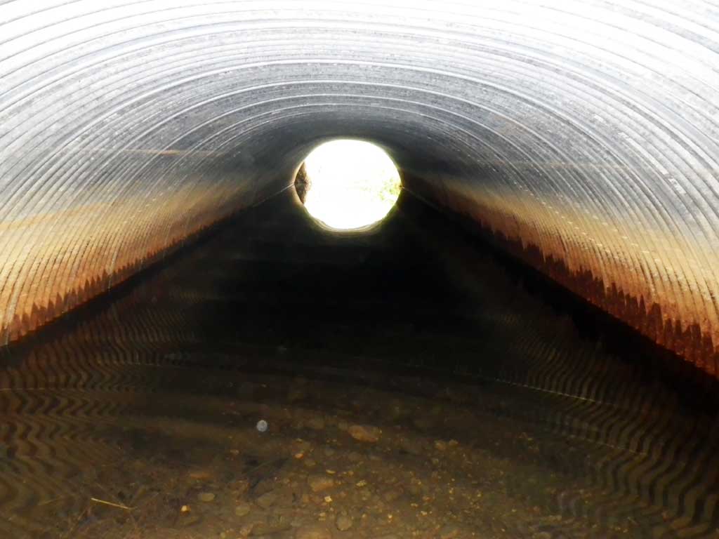
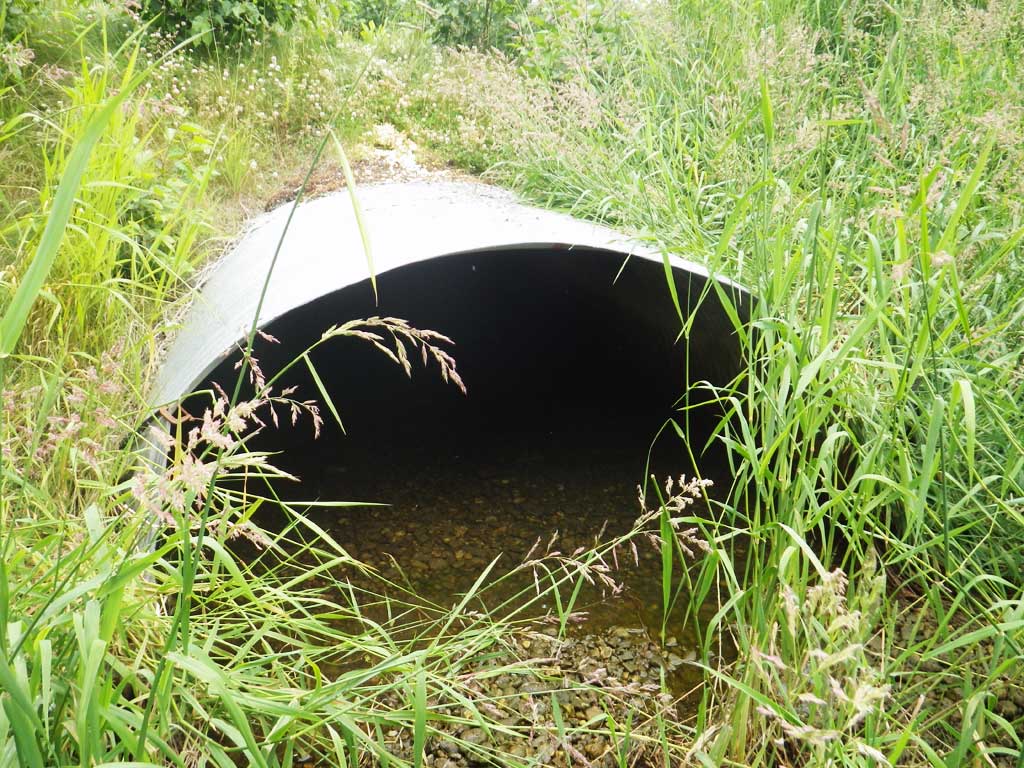
Comments: No live fish observed and no traps set as stream is already in the AWC. Spawned out Pink/Chum carcasses upstream and downstream of culvert. Ditched.
Culvert Measurements
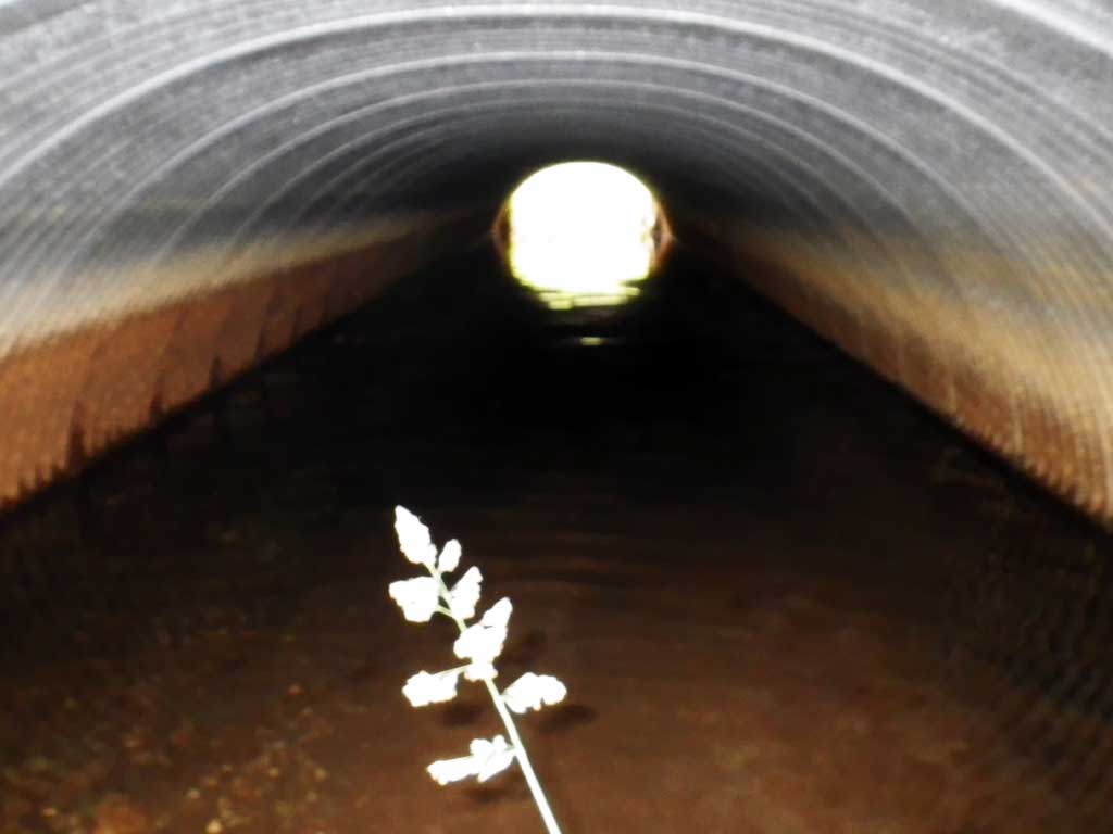
| ID: 1 | Structure Type: Circular pipe (Corrugated steel) | Fish Passage Rating: | ||||||||||||||||||||||||||||||||||||||||||
|
|
|
||||||||||||||||||||||||||||||||||||||||||
Culvert Observations:
|
||||||||||||||||||||||||||||||||||||||||||||
Stream Measurements
|
|
No stream width data available.
Elevations
| Locator ID | Culvert Number |
River Distance (ft)1 |
Distance From Crossing (ft)2 |
Relative Elevation (ft) |
|---|---|---|---|---|
| Road Elev | 100.28 | |||
| D/S Tailcrest or 1st Thalweg | 0.00 | 94.54 | ||
| D/S Water Surface Elev | 0.00 | 96.55 | ||
| Outlet Pool Water Elev | 17.00 | 96.55 | ||
| Max Pool Depth | 17.00 | 93.79 | ||
| Outlet Invert (On substrate) | 18.00 | 93.96 | ||
| D/S Water Surface Elev | 18.00 | 96.55 | ||
| Outlet Culvert Top | 18.00 | 97.99 | ||
| Inlet Culvert Top | 71.10 | 98.18 | ||
| Inlet Culvert Invert (On substrate) | 71.10 | 93.38 | ||
| U/S Water Surface Elev | 71.10 | 96.61 | ||
| U/S Headwater | 72.00 | 96.60 | ||
| U/S Water Surface Elev | 296.00 | 97.16 |
Notes:
- River distance is measured continuously throughout the survey reach along the thalweg of the stream.
- Measured from each end of the crossing along the thalweg of the stream.
Fish Sampling Efforts
| Gear Type: Visual Observation, Ground (A) | ||
| Comments: Spawned out Pinks and Chums observed. | ||
| Gear Type: Visual Observation, Ground (B) | ||
| Comments: Spawned out Pinks and Chums observed. | ||
Fish Observations
No fish observations occurred during this survey.
Photos
Questions or comments about this report can be directed to dfg.dsf.webmaster@alaska.gov