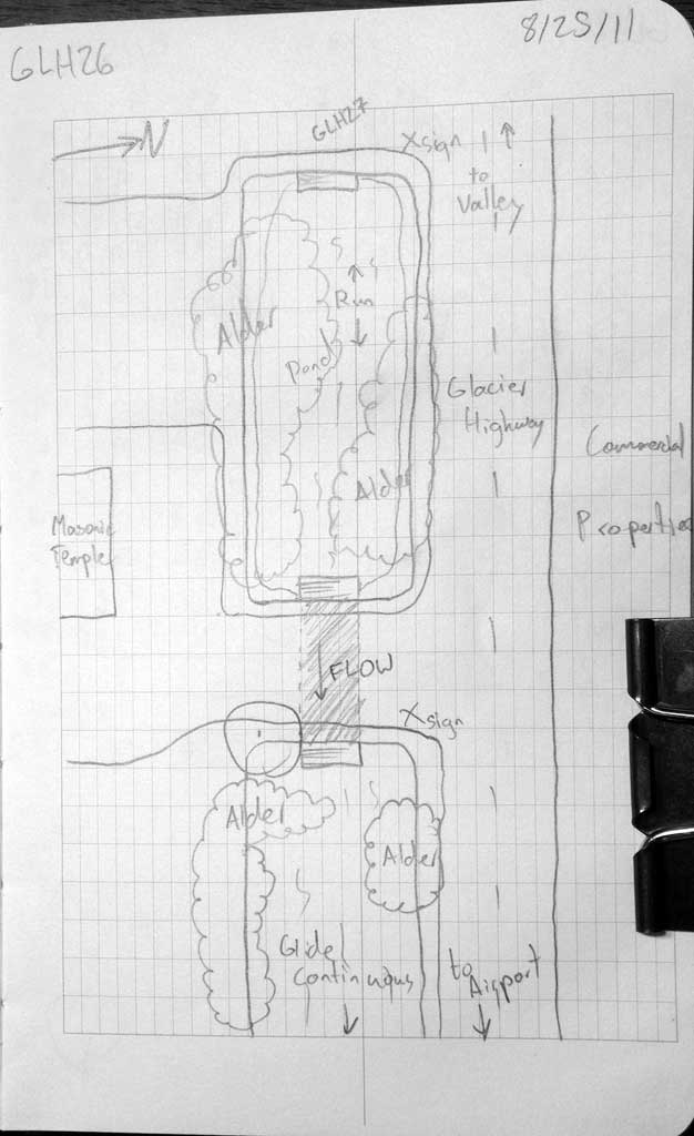
Fish Passage Site 10302187
Coordinates (dec. deg.): 58.36477°, -134.58928°
Legal Description: C040S066E31
Region: Southeast
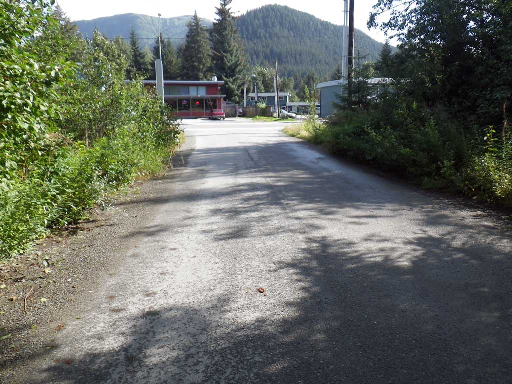
Road Name: Mendenhall Loop Road
Datum: NAD83
Quad Name / ITM: Juneau B-2
AWC Stream #:
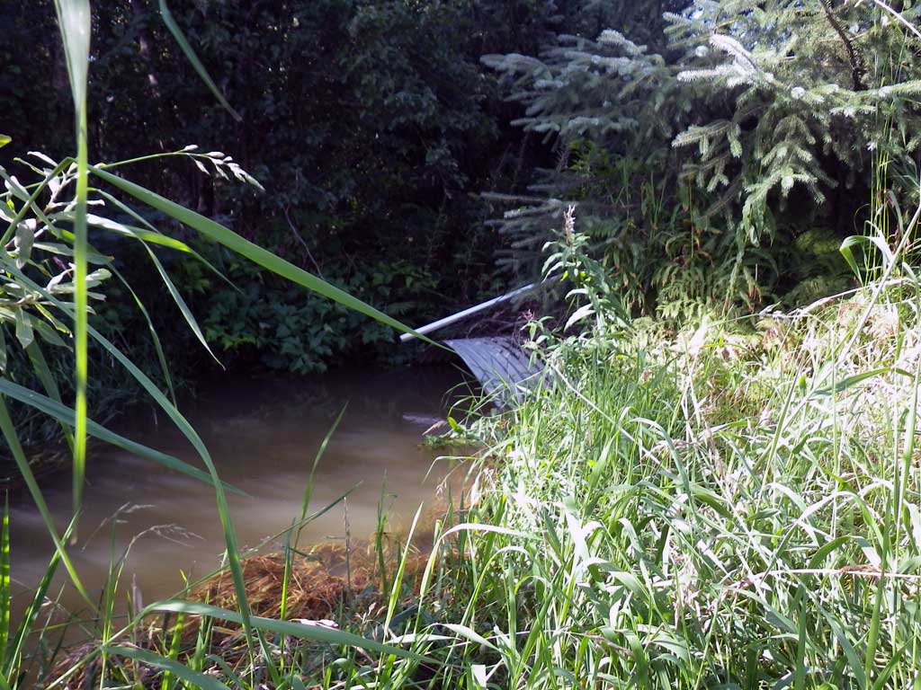
Stream Name: Duck Creek
Elevation:
Site Comments: None
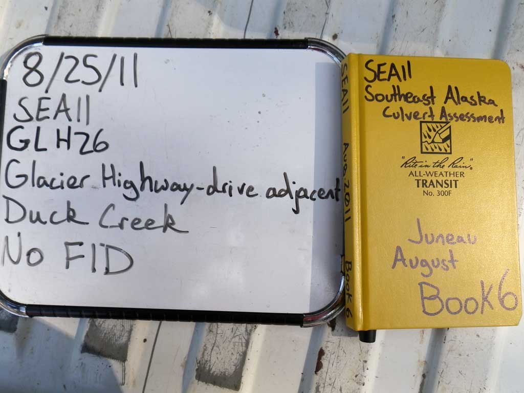
Survey SEA11-GLH26
Project Supervisor: Gillian O'Doherty, Alaska Department of Fish and Game
— Anchorage, AK
Observers: Jason Olds, Charmagne Gutierrez
Overall Fish Passage Rating:
Tidal: No
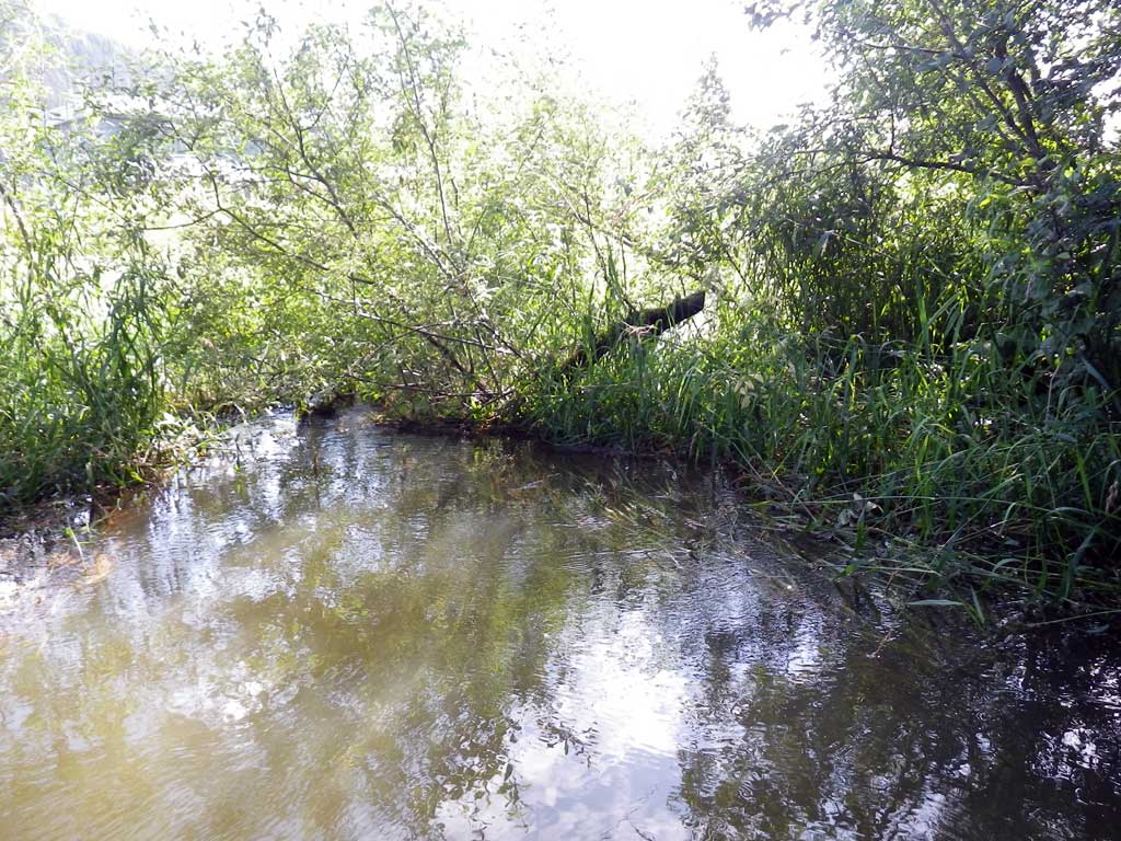
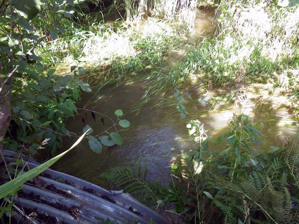
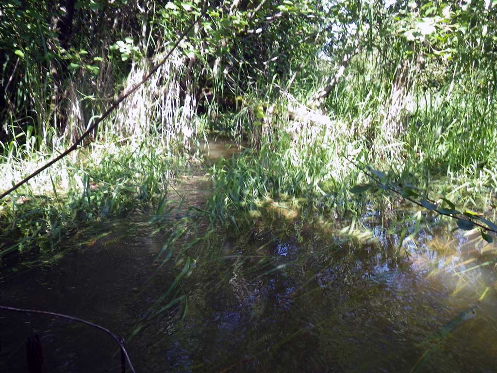
Backwatered: Yes
Step Pools: No
Construction Year:
Site Observations:
- Culvert gradient gray
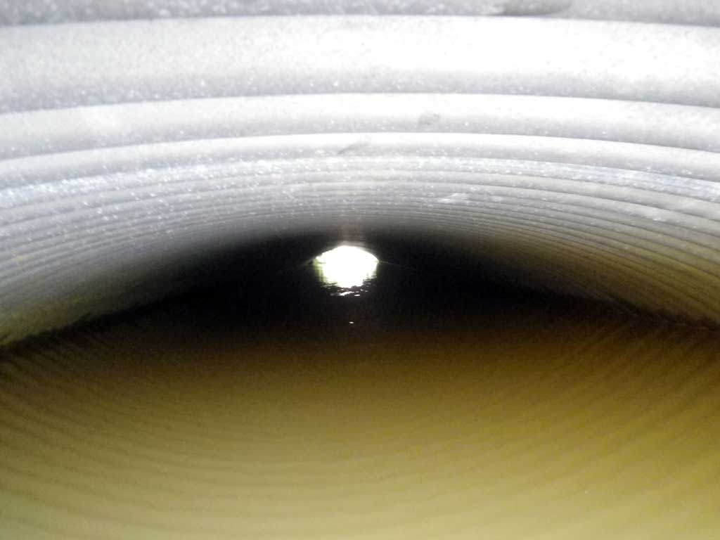
Comments: No live fish were observed and no traps were set as stream is already in the AWC. Spawned out Pink/Chum carcasses upstream and downstream of culvert. Ditched.
Culvert Measurements
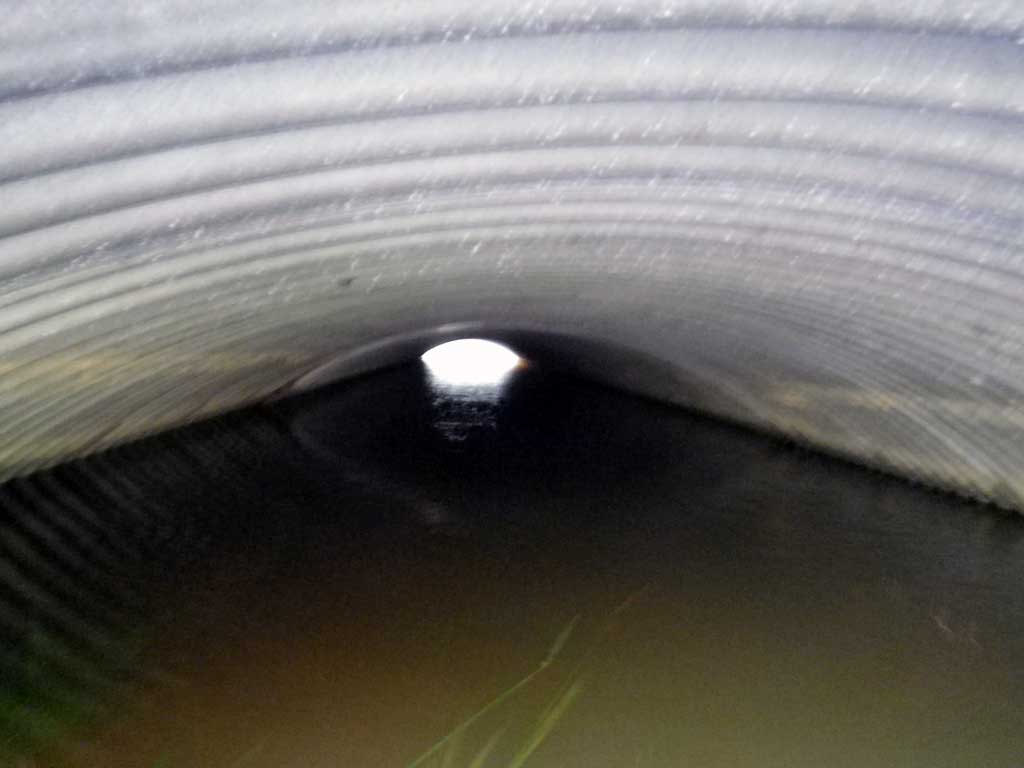
| ID: 1 | Structure Type: Circular pipe (Corrugated steel) | Fish Passage Rating: | ||||||||||||||||||||||||||||||||||||||||||
|
|
|
||||||||||||||||||||||||||||||||||||||||||
Culvert Observations:
|
||||||||||||||||||||||||||||||||||||||||||||
Stream Measurements
|
|
No stream width data available.
Elevations
| Locator ID | Culvert Number |
River Distance (ft)1 |
Distance From Crossing (ft)2 |
Relative Elevation (ft) |
|---|---|---|---|---|
| Road Elev | 99.96 | |||
| D/S Tailcrest or 1st Thalweg | 0.00 | 93.44 | ||
| D/S Water Surface Elev | 0.00 | 96.50 | ||
| Max Pool Depth | 4.00 | 93.12 | ||
| Outlet Pool Water Elev | 4.00 | 96.49 | ||
| Outlet Culvert Top | 11.00 | 97.49 | ||
| Outlet Invert (On substrate) | 11.00 | 92.88 | ||
| D/S Water Surface Elev | 11.00 | 96.51 | ||
| U/S Water Surface Elev | 61.20 | 96.50 | ||
| Inlet Culvert Invert (On substrate) | 61.20 | 93.85 | ||
| Inlet Culvert Top | 61.20 | 97.93 | ||
| U/S Headwater | 62.00 | 96.52 | ||
| U/S Water Surface Elev | 158.00 | 96.68 |
Notes:
- River distance is measured continuously throughout the survey reach along the thalweg of the stream.
- Measured from each end of the crossing along the thalweg of the stream.
Fish Sampling Efforts
| Gear Type: Visual Observation, Ground (A) | ||
| Comments: Pink and Chum salmon carcasses observed up and downstream from culvert site. | ||
Fish Observations
| Species: carcass chum salmon | Life History: Anadromous | ||
| Total Fish Observed: 4 | Fish Measured: | Fork Lengths (mm) Min: Max: Mean: | |
| Collected/Observed by Gear Type: At Site Visual Observation, Ground (4) | |||
| Species: carcass pink salmon | Life History: Anadromous | ||
| Total Fish Observed: 4 | Fish Measured: | Fork Lengths (mm) Min: Max: Mean: | |
| Collected/Observed by Gear Type: At Site Visual Observation, Ground (4) | |||
Photos
Questions or comments about this report can be directed to dfg.dsf.webmaster@alaska.gov