Fish Passage Site 10302186
Coordinates (dec. deg.): 58.36432°, -134.58858°
Legal Description: C040S066E31
Region: Southeast
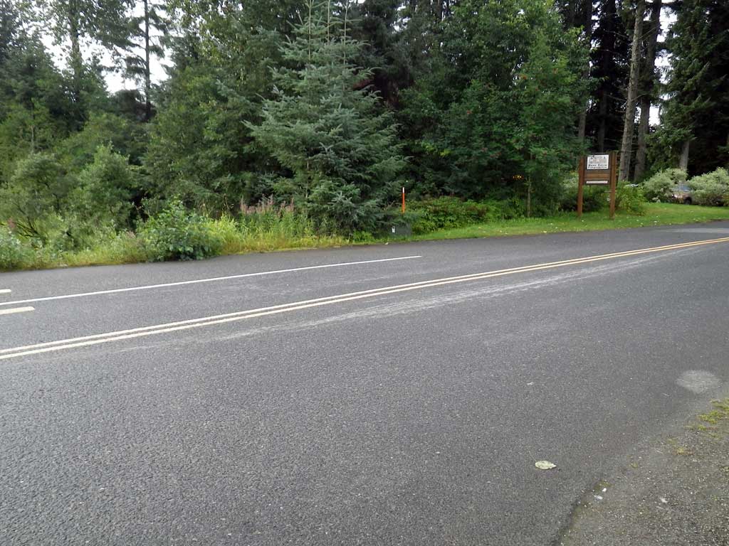
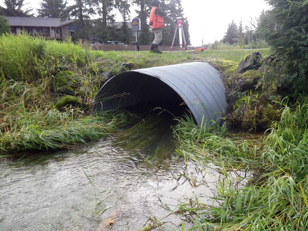
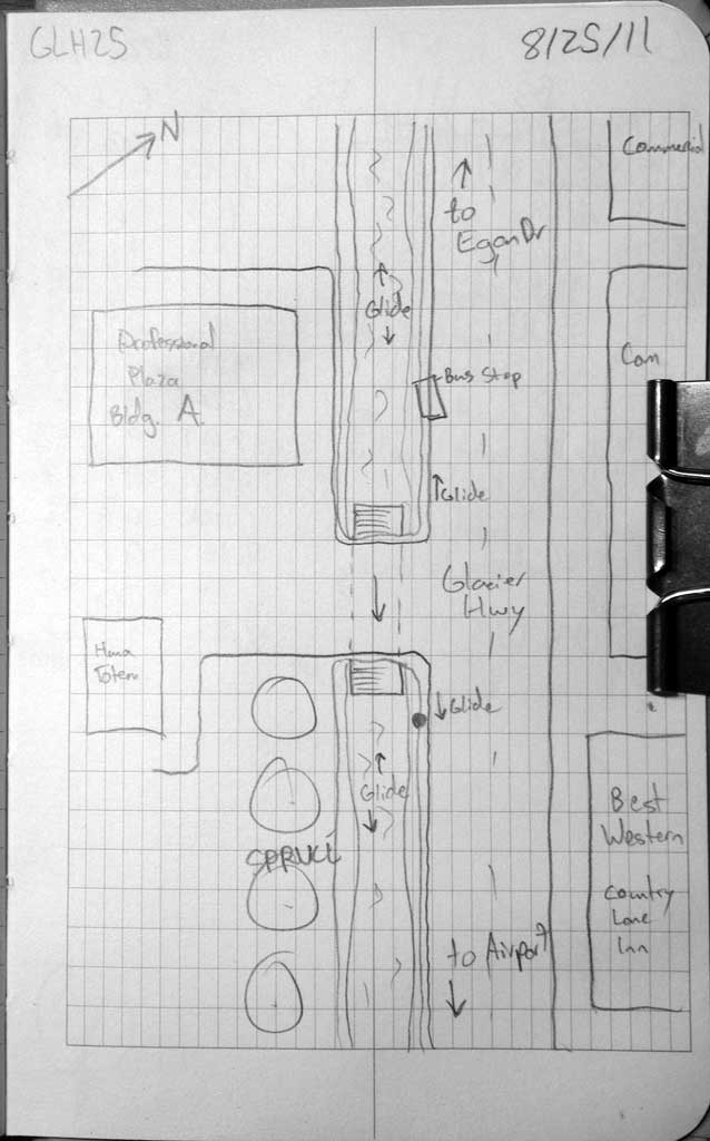
Road Name: Driveway adjacent to Glacier H
Datum: NAD83
Quad Name / ITM: Juneau B-2
AWC Stream #:
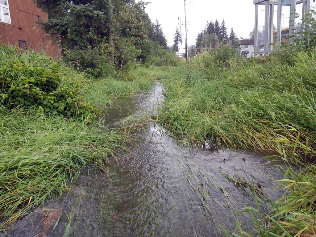
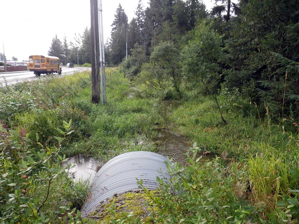
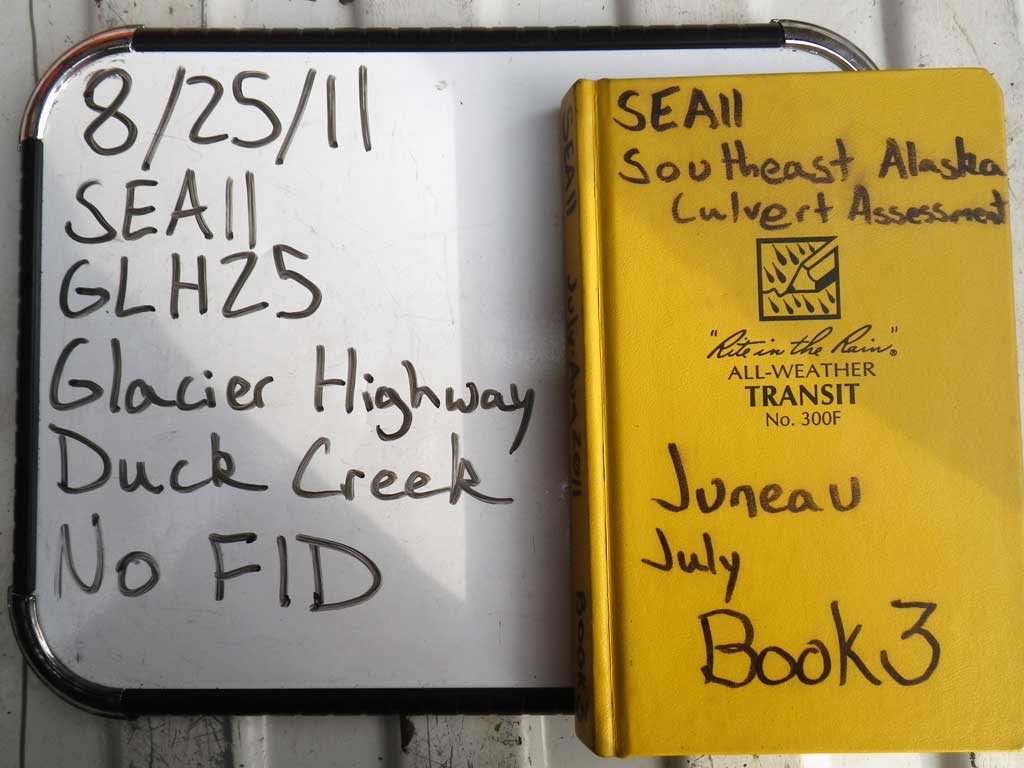
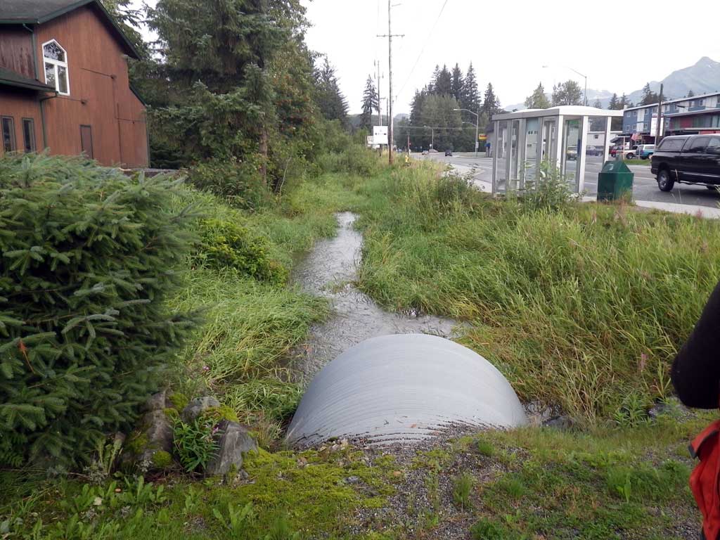
Stream Name: Duck Creek
Elevation:
Site Comments: None
Survey SEA11-GLH25
Project Supervisor: Gillian O'Doherty, Alaska Department of Fish and Game
— Anchorage, AK
Observers: Jason Olds, Charmagne Gutierrez
Overall Fish Passage Rating:
Tidal: No
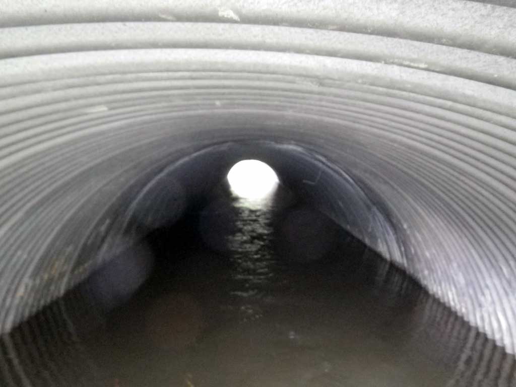
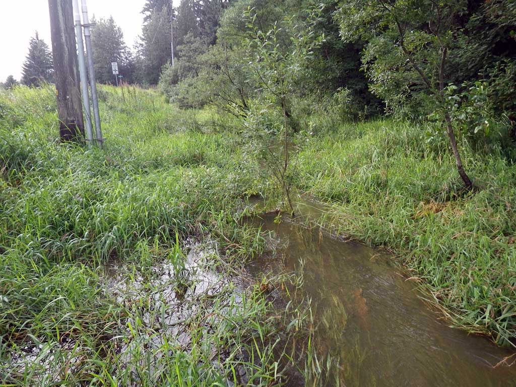
Backwatered: Yes
Step Pools: No
Construction Year:
Site Observations:
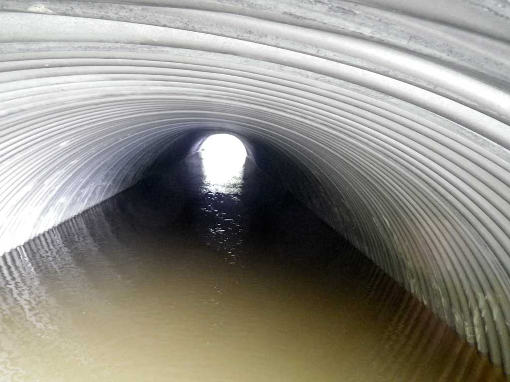
- Constriction ratio red
- Hydraulic flows exceeded capacity
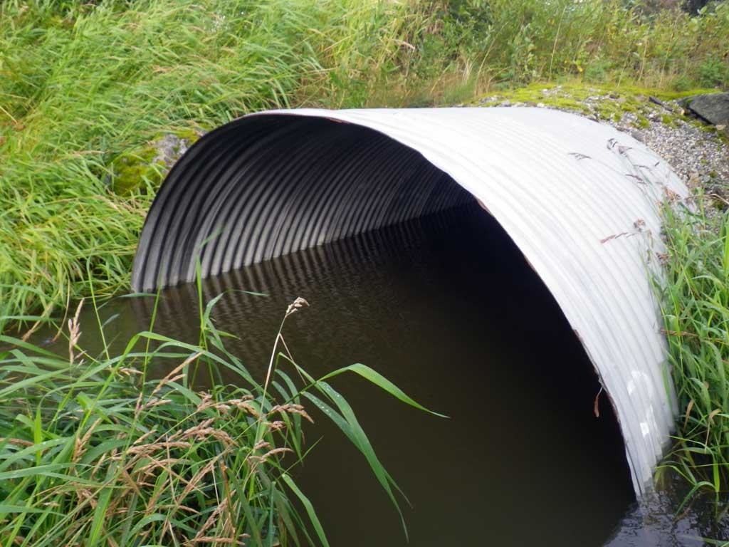
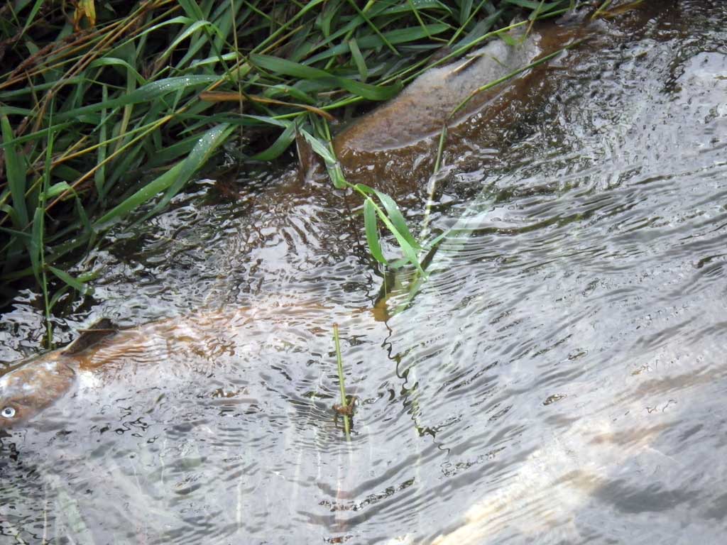
Comments: No live fish observed or traps set as stream is already in the AWC. Dead spawned out salmon, pink/chum observed upstream and downstream of culvert. Ditched. Stream grade at 20 times mean OHW not possible as GLH26 intersects before that point, calculated with less than 10 times mean OHW.
Culvert Measurements
| ID: 1 | Structure Type: Circular pipe (Corrugated steel) | Fish Passage Rating: | |||||||||||||||||||||||||||||||||||||||||
|
|
|
|||||||||||||||||||||||||||||||||||||||||
Culvert Observations:
|
|||||||||||||||||||||||||||||||||||||||||||
Stream Measurements
|
|
| Stream Width Type | Distance From Crossing (ft) |
Stream Width (ft) |
|---|---|---|
| Upstream ordinary high water | 43.0 | 18.40 |
| Upstream ordinary high water | 90.0 | 18.90 |
| Upstream ordinary high water | 132.0 | 27.80 |
Elevations
| Locator ID | Culvert Number |
River Distance (ft)1 |
Distance From Crossing (ft)2 |
Relative Elevation (ft) |
|---|---|---|---|---|
| Road Elev | 100.68 | |||
| Misc. (No discernable tailcrest, however channel sits above invert in) | 0.00 | 94.17 | ||
| D/S Water Surface Elev | 0.00 | 96.06 | ||
| Outlet Pool Water Elev | 25.00 | 96.24 | ||
| Max Pool Depth | 25.00 | 93.87 | ||
| Outlet Invert (On substate) | 30.00 | 93.93 | ||
| Outlet Culvert Top | 30.00 | 99.16 | ||
| D/S Water Surface Elev | 30.00 | 96.24 | ||
| U/S Water Surface Elev | 101.50 | 96.27 | ||
| Inlet Culvert Top | 101.50 | 99.32 | ||
| Inlet Culvert Invert | 101.50 | 93.33 | ||
| U/S Headwater | 102.00 | 96.27 | ||
| U/S Water Surface Elev | 233.50 | 96.83 |
Notes:
- River distance is measured continuously throughout the survey reach along the thalweg of the stream.
- Measured from each end of the crossing along the thalweg of the stream.
Fish Sampling Efforts
| Gear Type: Visual Observation, Ground (A) | ||
| Comments: Dead chum and pink salmon observed at site upstream and downstream from culvert. | ||
Fish Observations
No fish observations occurred during this survey.
Photos
Questions or comments about this report can be directed to dfg.dsf.webmaster@alaska.gov