Fish Passage Site 10302182
Coordinates (dec. deg.): 58.37526°, -134.57844°
Legal Description: C040S066E30
Region: Southeast
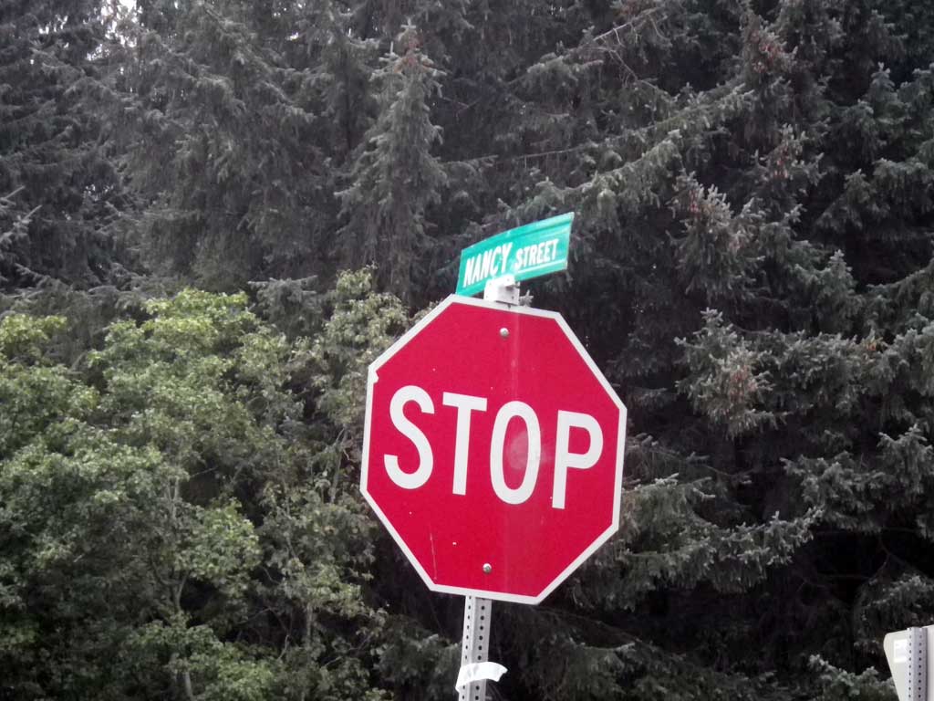
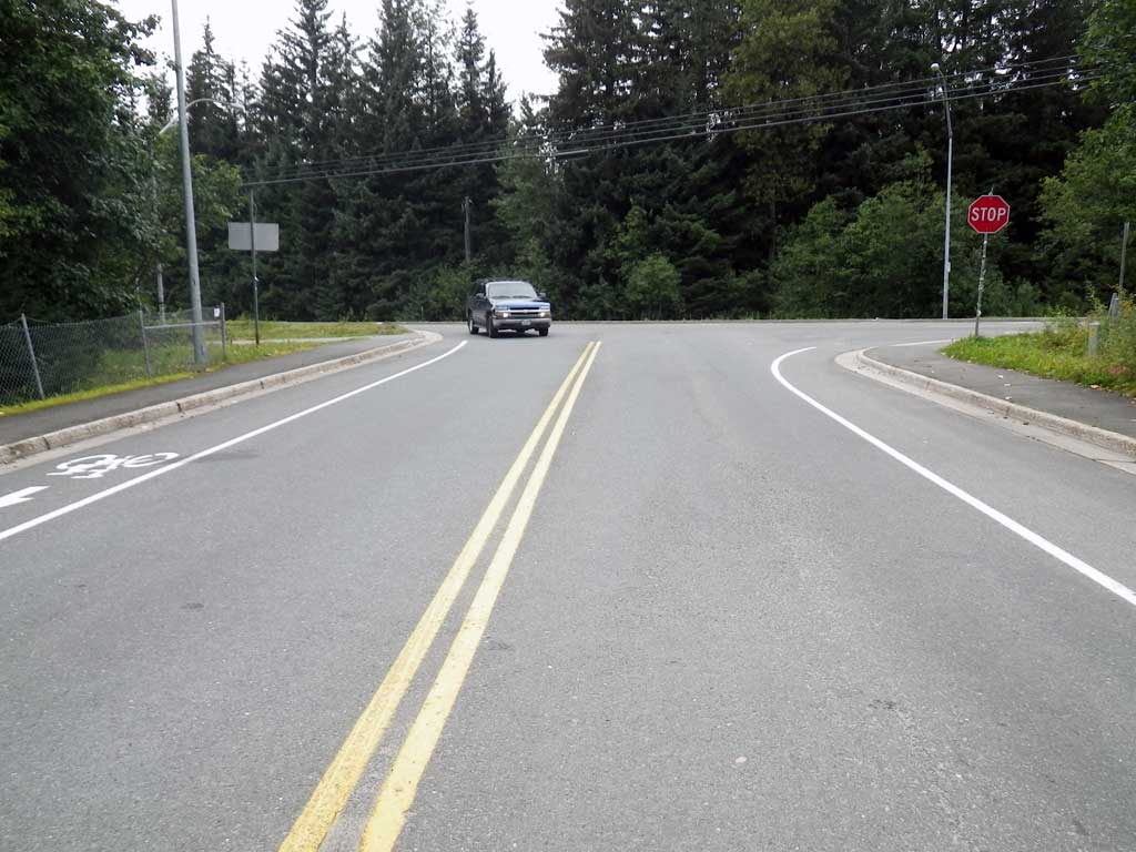
Road Name: Nancy Street
Datum: NAD83
Quad Name / ITM: Juneau B-2
AWC Stream #:
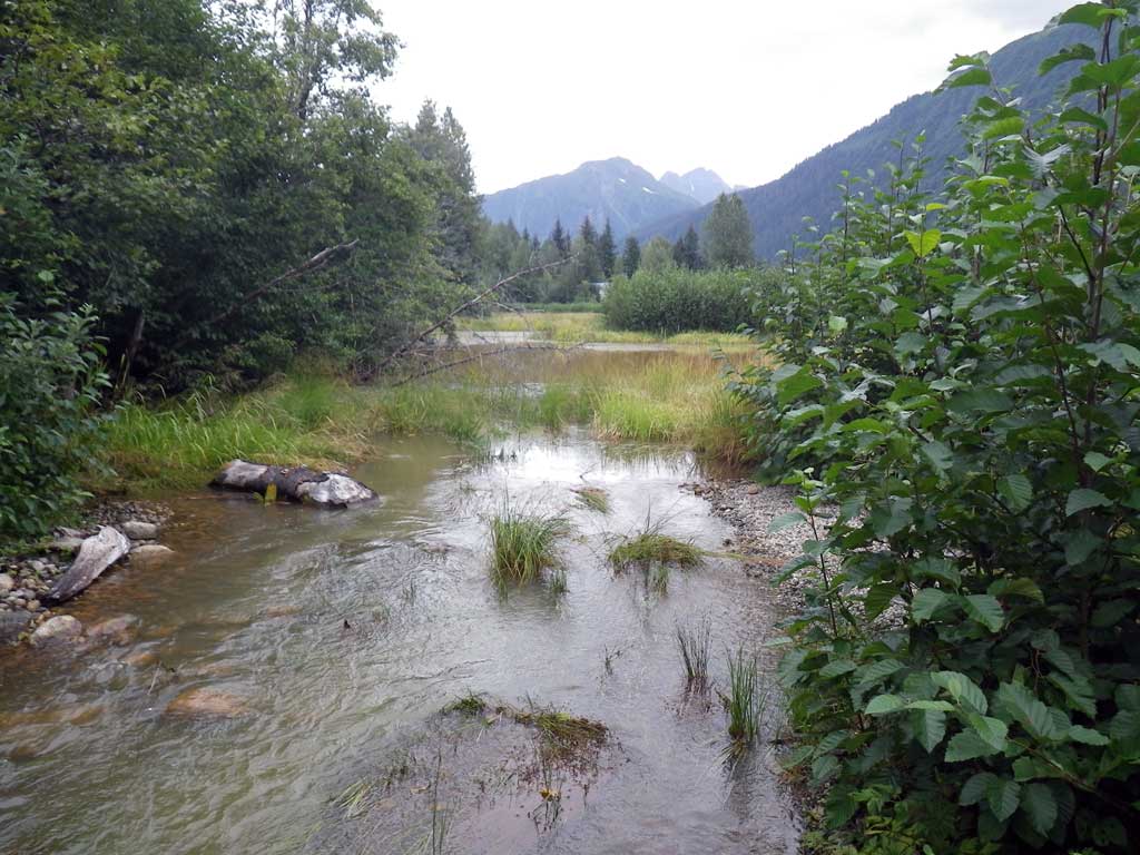
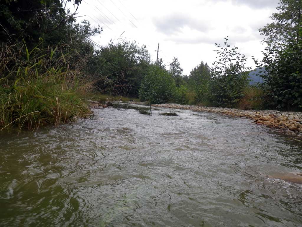
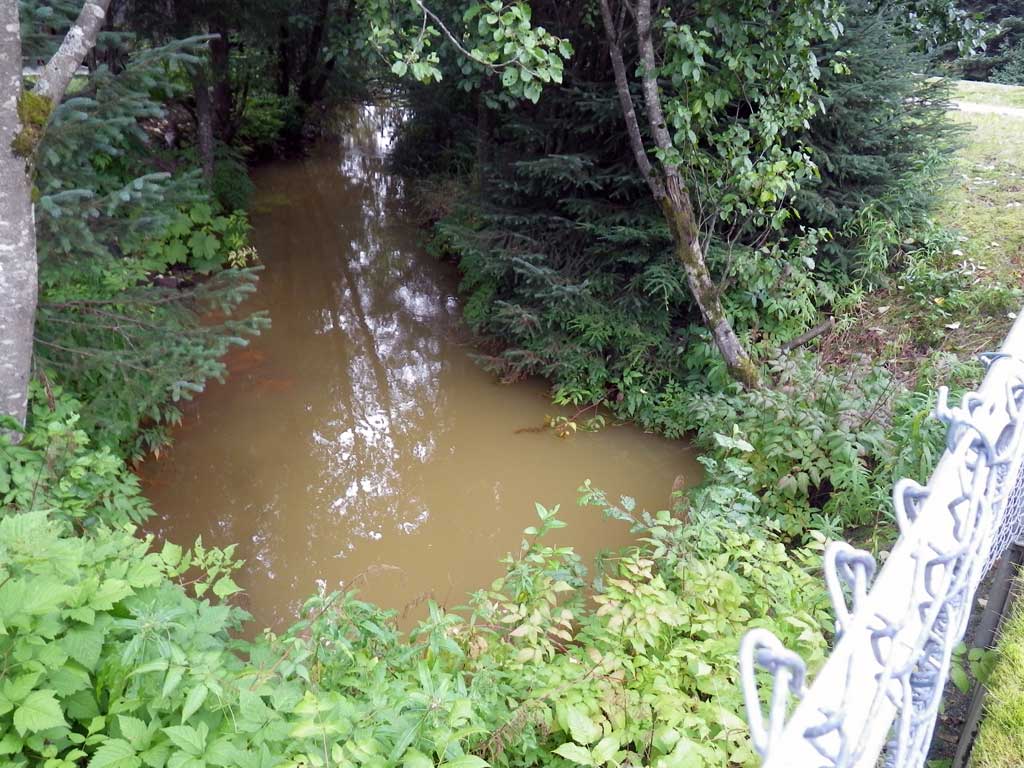
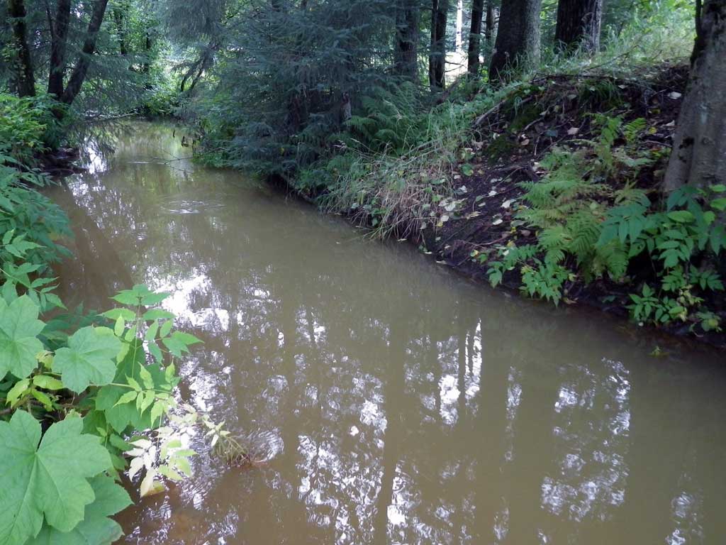
Stream Name: Duck Creek East Fork
Elevation:
Site Comments: None
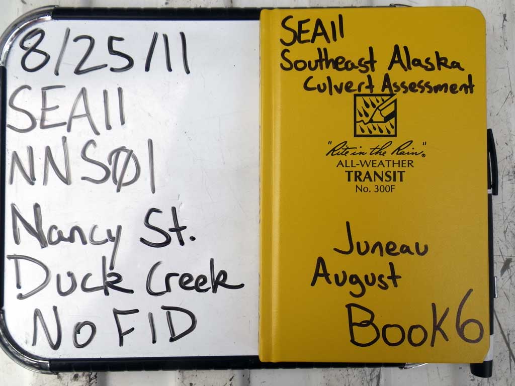
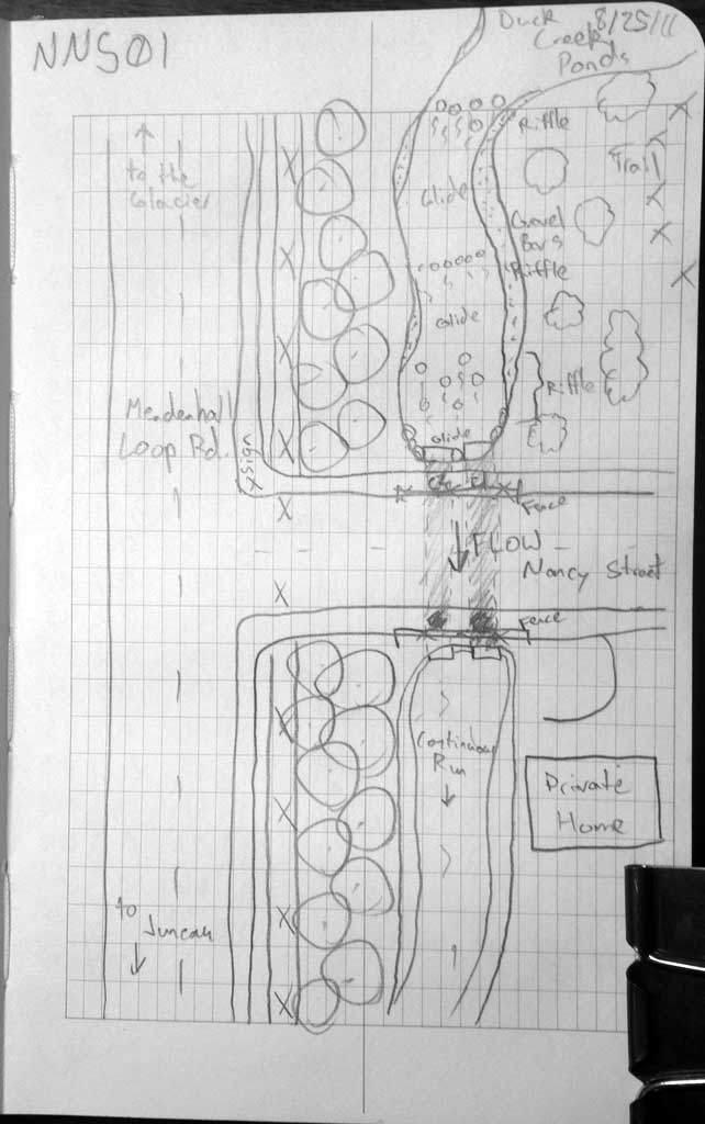
Survey SEA11-NNS01
Project Supervisor: Gillian O'Doherty, Alaska Department of Fish and Game
— Anchorage, AK
Observers: Jason Olds, Charmagne Gutierrez
Overall Fish Passage Rating:
Tidal: No
Backwatered: No
Step Pools: No
Construction Year:
Site Observations:
- Culvert gradient red
- Constriction ratio red
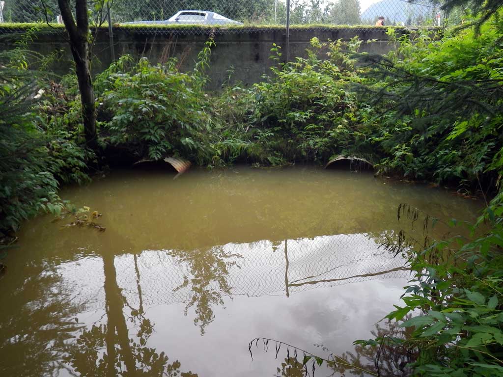
Comments: No traps set as stream is already in the AWC, no fish observed. Duck Creek Greenbelt restoration area and ponds above culverts.
Culvert Measurements
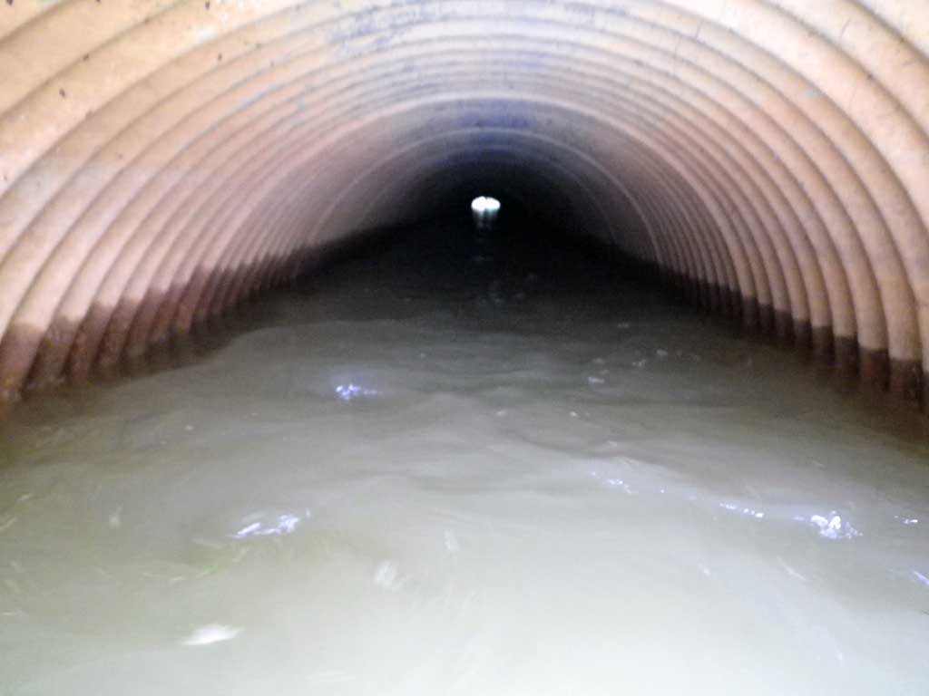
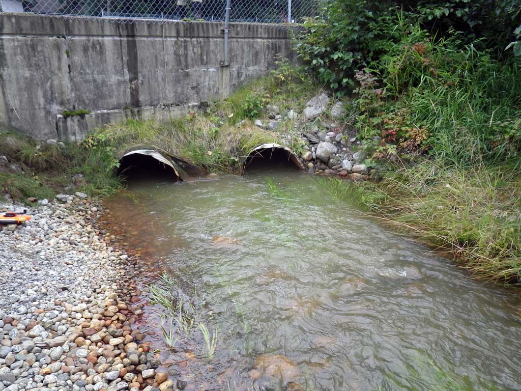
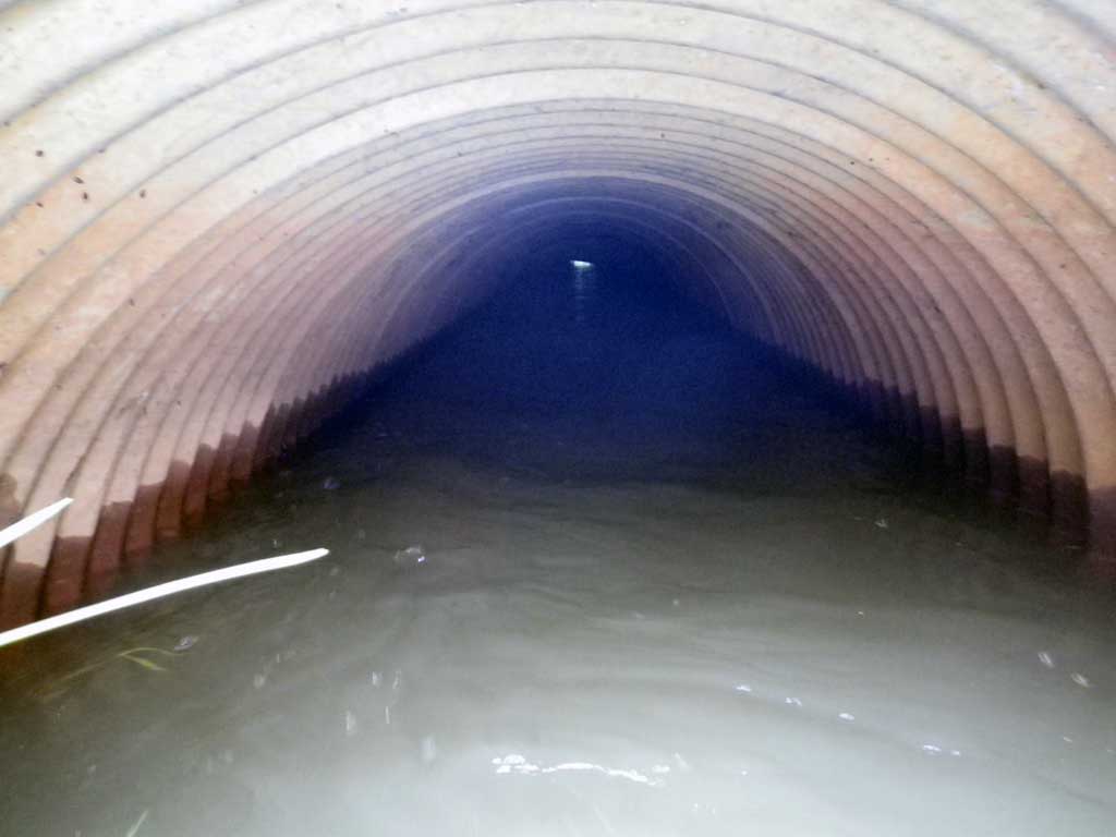
| ID: 1 | Structure Type: Circular pipe (Corrugated steel) | Fish Passage Rating: | |||||||||||||||||||||||||||||||||||||||||
|
|
|
|||||||||||||||||||||||||||||||||||||||||
Culvert Observations:
|
|||||||||||||||||||||||||||||||||||||||||||
| ID: 2 | Structure Type: Circular pipe (Corrugated steel) | Fish Passage Rating: | |||||||||||||||||||||||||||||||||||||||||
|
|
|
|||||||||||||||||||||||||||||||||||||||||
Culvert Observations:
|
|||||||||||||||||||||||||||||||||||||||||||
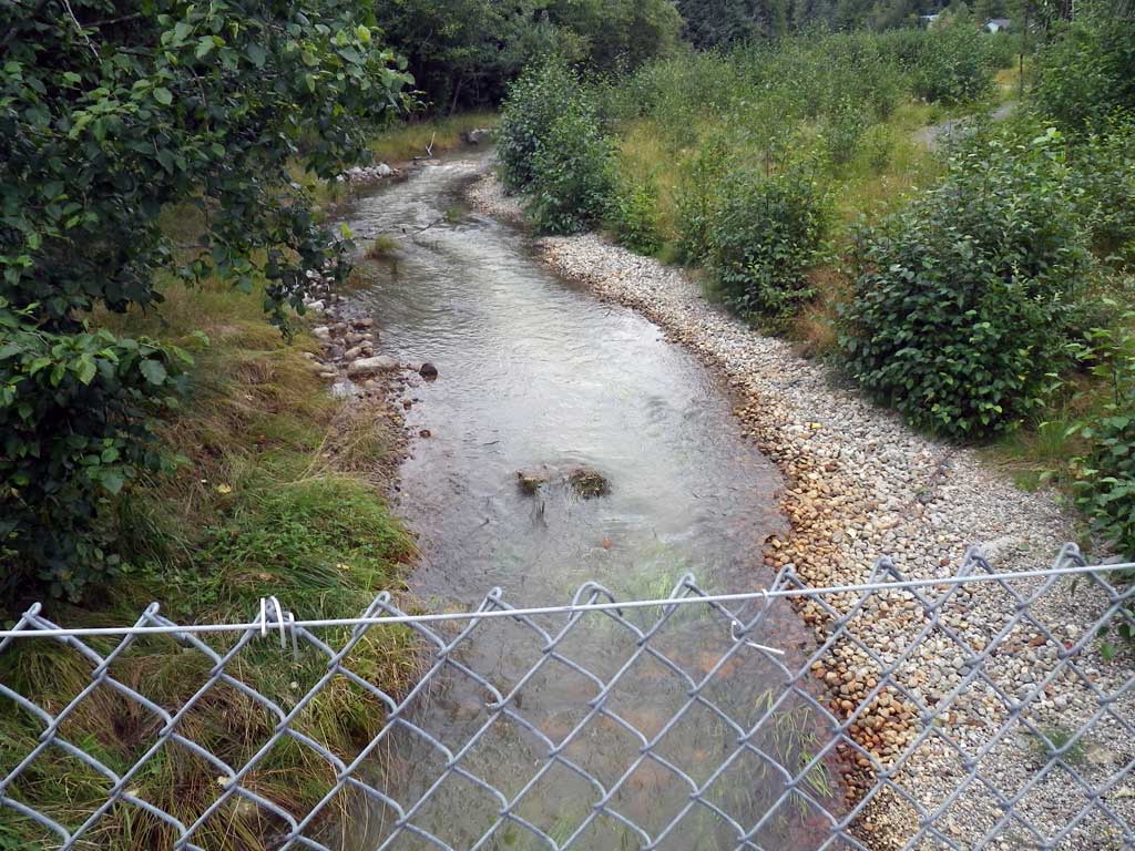
Stream Measurements
|
|
| Stream Width Type | Distance From Crossing (ft) |
Stream Width (ft) |
|---|---|---|
| Upstream ordinary high water | 39.0 | 13.30 |
| Upstream ordinary high water | 75.0 | 12.40 |
| Upstream ordinary high water | 123.0 | 12.20 |
Elevations
| Locator ID | Culvert Number |
River Distance (ft)1 |
Distance From Crossing (ft)2 |
Relative Elevation (ft) |
|---|---|---|---|---|
| Road Elev | 99.92 | |||
| D/S Tailcrest or 1st Thalweg | 0.00 | 92.17 | ||
| D/S Water Surface Elev | 0.00 | 93.47 | ||
| Outlet Pool Water Elev | 15.50 | 93.47 | ||
| Max Pool Depth | 15.50 | 89.58 | ||
| Outlet Invert (C2, on substrate) | 2 | 17.00 | 91.32 | |
| Outlet Invert (C1, on substrate) | 1 | 17.00 | 91.41 | |
| D/S Water Surface Elev (C1) | 1 | 17.00 | 93.47 | |
| D/S Water Surface Elev (C2) | 2 | 17.00 | 93.48 | |
| Outlet Culvert Top (C2) | 2 | 17.00 | 94.04 | |
| Outlet Culvert Top (C1) | 1 | 17.00 | 94.05 | |
| Inlet Culvert Top (C1) | 1 | 82.10 | 94.95 | |
| Inlet Culvert Invert (C1, On substrate) | 1 | 82.10 | 92.43 | |
| U/S Water Surface Elev (C1) | 1 | 82.10 | 93.45 | |
| U/S Water Surface Elev (C2) | 2 | 83.80 | 93.45 | |
| Inlet Culvert Invert (C2, on substrate) | 2 | 83.80 | 92.14 | |
| Inlet Culvert Top (C2) | 2 | 83.80 | 94.73 | |
| U/S Headwater (1st resting) | 84.00 | 93.45 | ||
| U/S Grade Ctrl (Thalweg) | 104.00 | 93.09 | ||
| U/S Water Surface Elev | 104.00 | 93.71 | ||
| U/S Water Surface Elev | 230.10 | 95.00 |
Notes:
- River distance is measured continuously throughout the survey reach along the thalweg of the stream.
- Measured from each end of the crossing along the thalweg of the stream.
Fish Sampling Efforts
| Gear Type: None (A) | ||
| Comments: No traps set no fish observed. | ||
Fish Observations
No fish observations occurred during this survey.
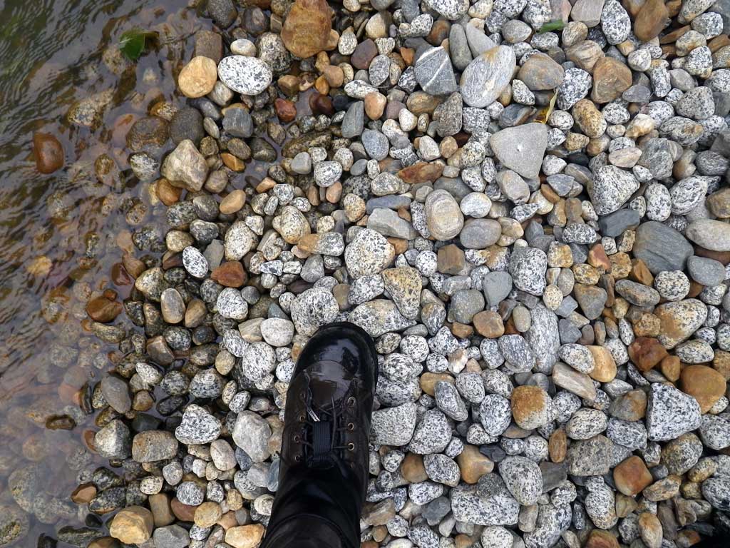
Photos
Questions or comments about this report can be directed to dfg.dsf.webmaster@alaska.gov