Fish Passage Site 10302179
Coordinates (dec. deg.): 58.38403°, -134.57708°
Legal Description: C040S066E19
Region: Southeast
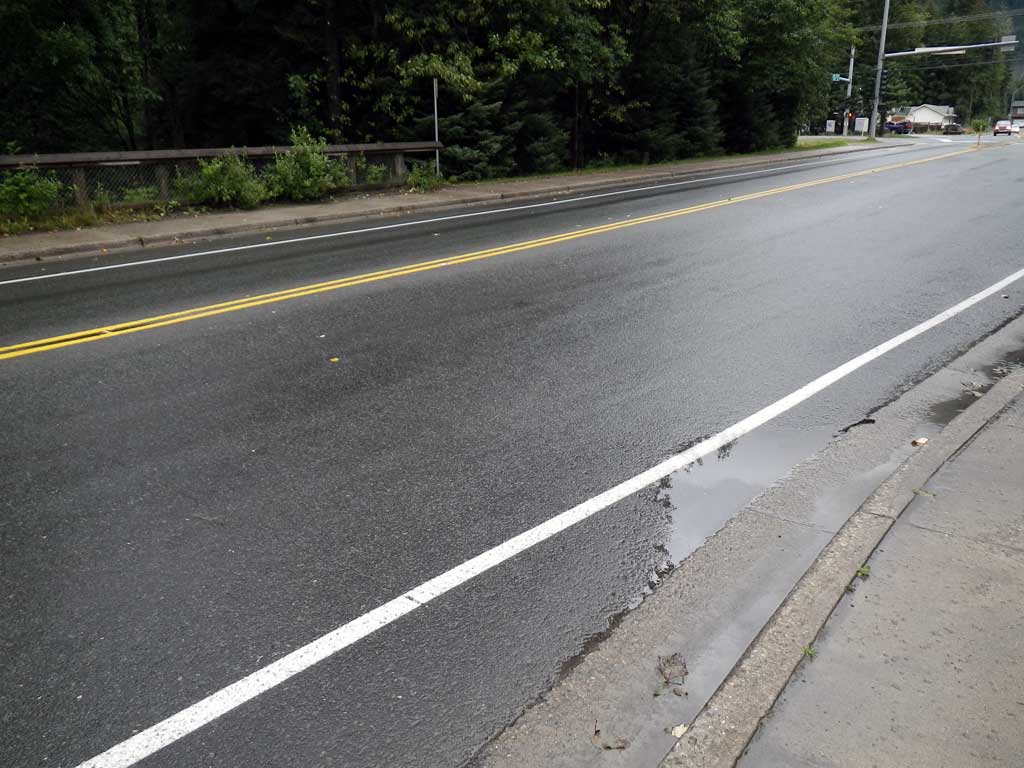
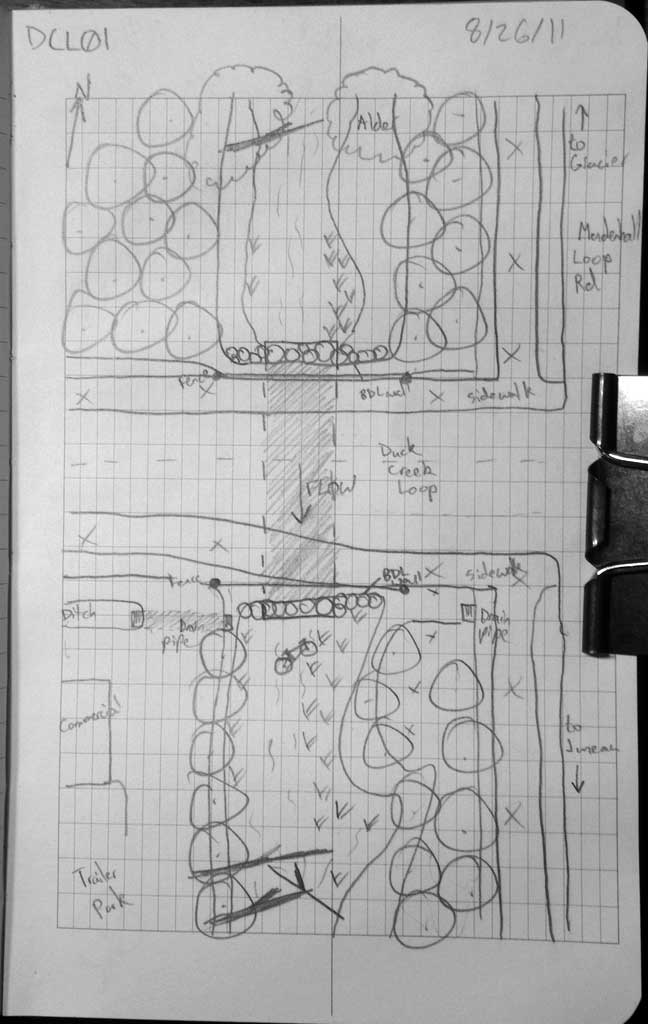
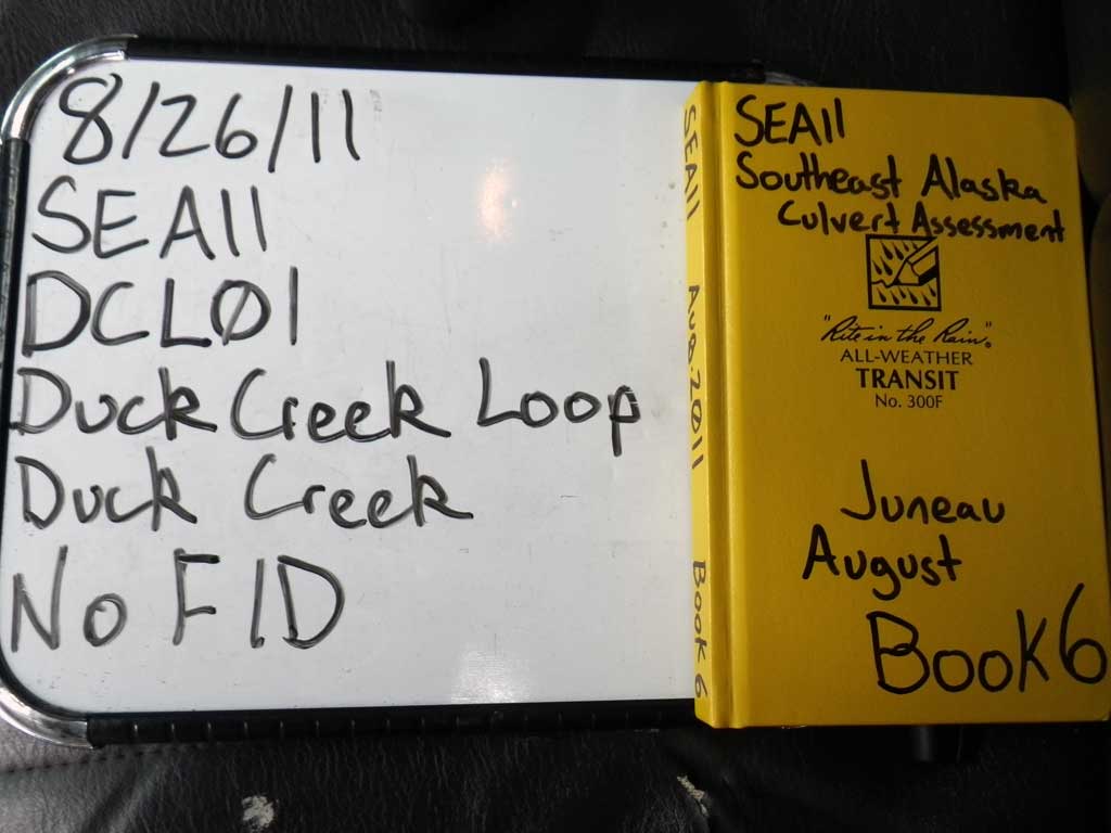
Road Name: Duck Creek Loop
Datum: NAD83
Quad Name / ITM: Juneau B-2
AWC Stream #:
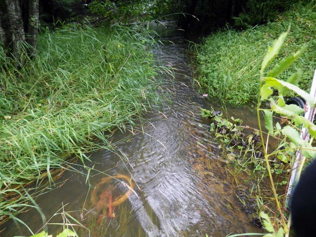
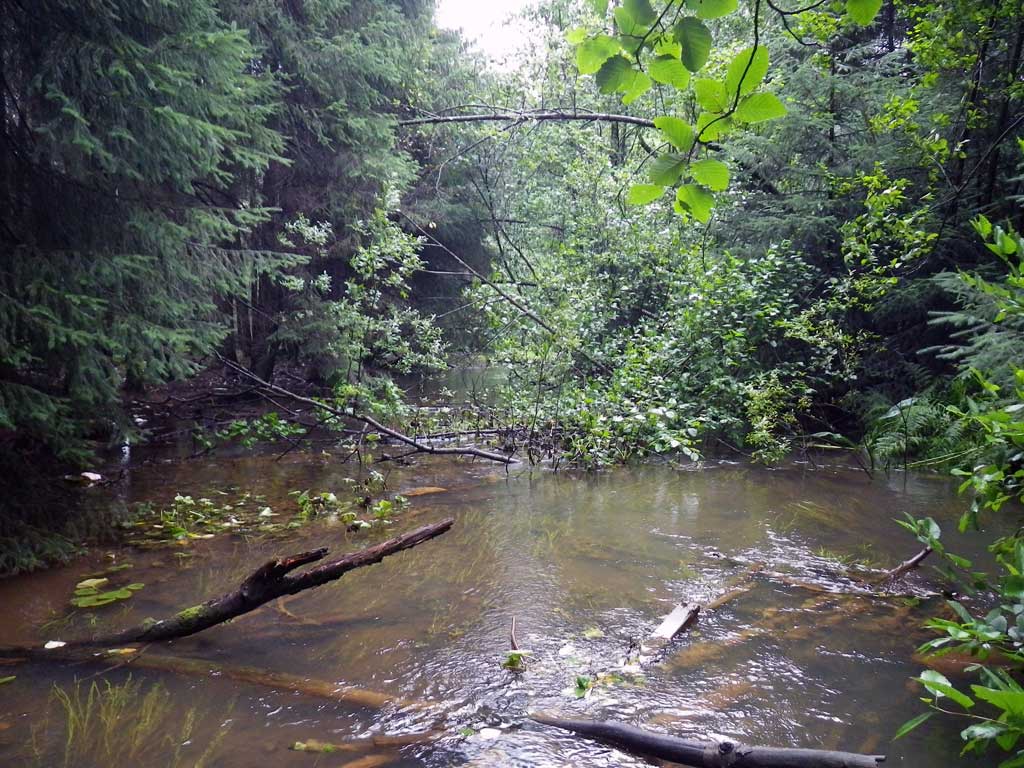
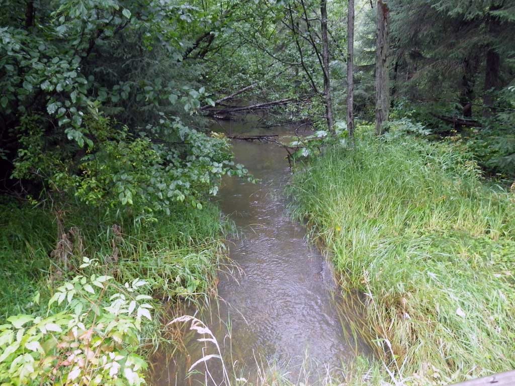
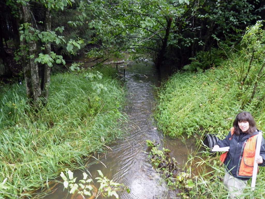
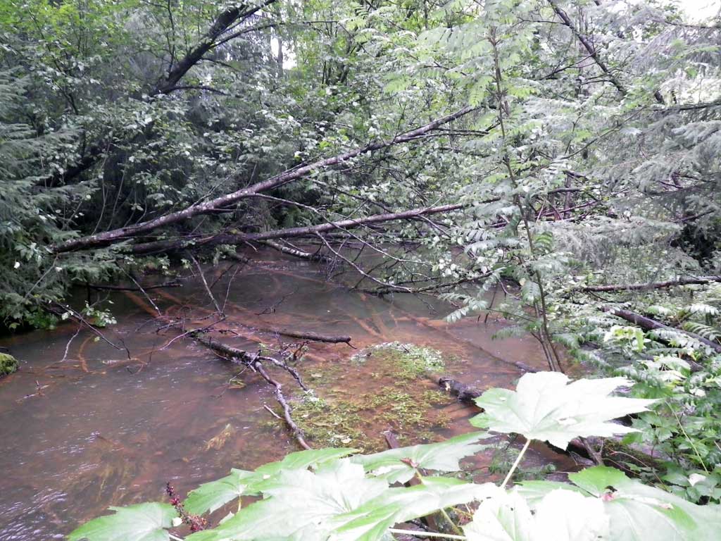
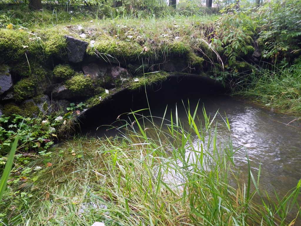
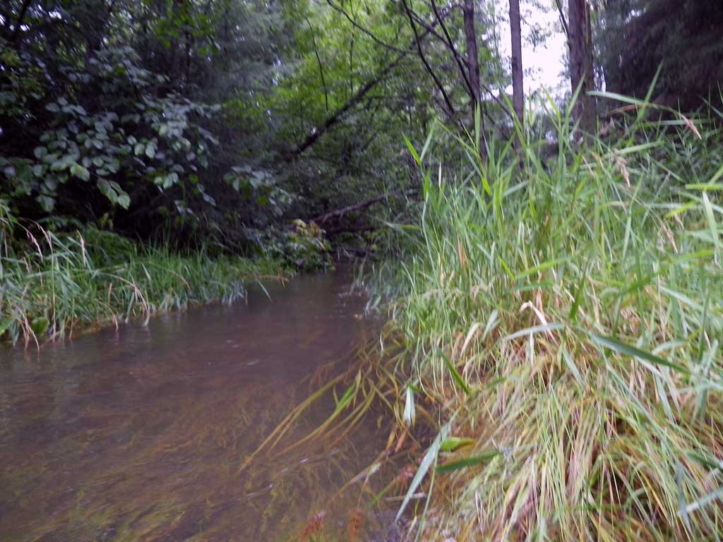
Stream Name: Duck Creek
Elevation:
Site Comments: No fish observed or traps set as stream is already in the AWC. Too much foilage to find a stream gradient.
Survey SEA11-DCL01
Project Supervisor: Gillian O'Doherty, Alaska Department of Fish and Game
— Anchorage, AK
Observers: Jason Olds, Charmagne Gutierrez
Overall Fish Passage Rating:
Tidal: No
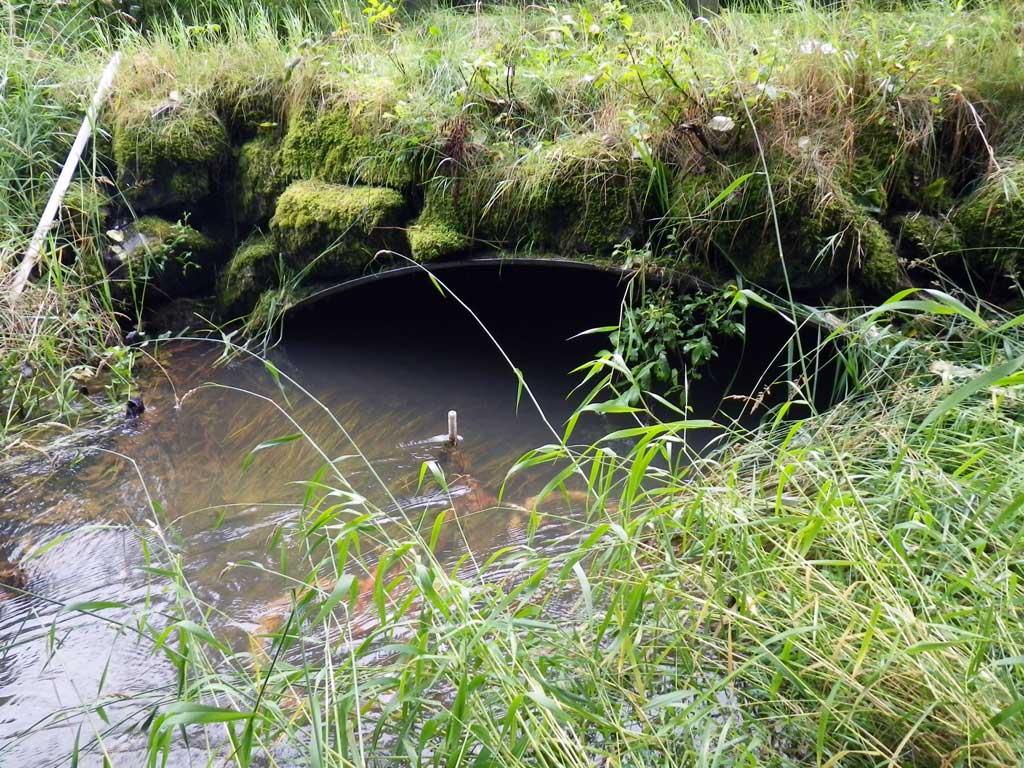
Backwatered: Yes
Step Pools: No
Construction Year:
Site Observations:
- Constriction ratio red
Comments: None
Culvert Measurements
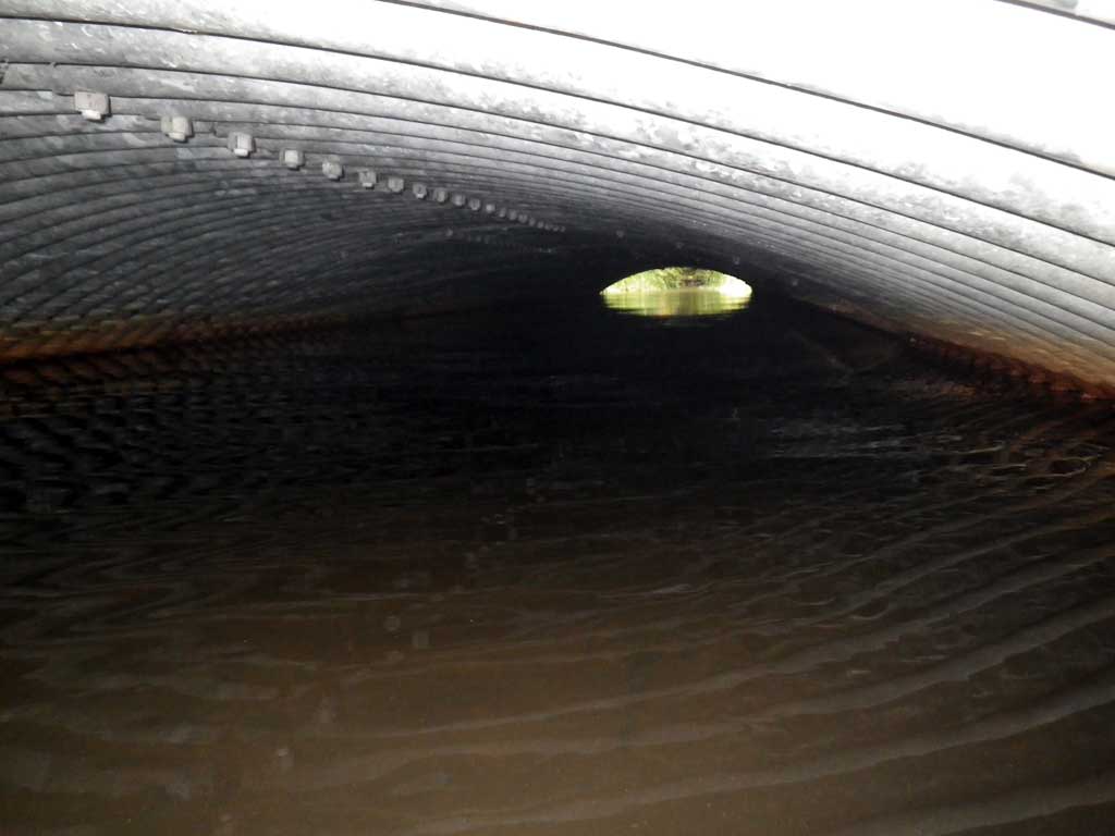
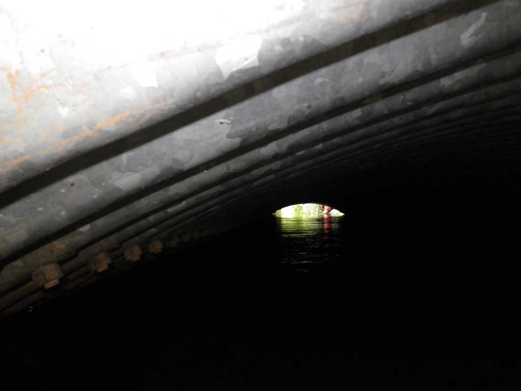
| ID: 1 | Structure Type: Open-bottom arch (Structural steel plate) | Fish Passage Rating: | |||||||||||||||||||||||||||||||||||||||||
|
|
|
|||||||||||||||||||||||||||||||||||||||||
Comments: Tailwater control higher than inlet invert and water surface flat throughout pipe, site is backwatered. |
|||||||||||||||||||||||||||||||||||||||||||
Culvert Observations:
|
|||||||||||||||||||||||||||||||||||||||||||
Stream Measurements
|
|
| Stream Width Type | Distance From Crossing (ft) |
Stream Width (ft) |
|---|---|---|
| Upstream ordinary high water | 61.0 | 28.50 |
| Upstream ordinary high water | 95.0 | 21.40 |
| Upstream ordinary high water | 135.0 | 31.80 |
Elevations
| Locator ID | Culvert Number |
River Distance (ft)1 |
Distance From Crossing (ft)2 |
Relative Elevation (ft) |
|---|---|---|---|---|
| Road Elev | 100.31 | |||
| D/S Tailcrest or 1st Thalweg | 0.00 | 94.24 | ||
| D/S Water Surface Elev | 0.00 | 95.94 | ||
| Outlet Pool Water Elev | 11.00 | 96.02 | ||
| Max Pool Depth | 11.00 | 93.02 | ||
| Outlet Invert (On substrate) | 19.00 | 94.07 | ||
| D/S Water Surface Elev | 19.00 | 96.03 | ||
| U/S Water Surface Elev | 81.70 | 96.05 | ||
| Inlet Culvert Invert (On Substrate) | 81.70 | 94.10 | ||
| U/S Headwater | 82.00 | 96.06 | ||
| U/S Water Surface Elev | 105.70 | 96.10 | ||
| U/S Grade Ctrl (Thalweg) | 105.70 | 94.62 |
Notes:
- River distance is measured continuously throughout the survey reach along the thalweg of the stream.
- Measured from each end of the crossing along the thalweg of the stream.
Fish Sampling Efforts
| Gear Type: None (A) | ||
| Comments: No traps set, no fish observed. | ||
Fish Observations
No fish observations occurred during this survey.
Photos
Questions or comments about this report can be directed to dfg.dsf.webmaster@alaska.gov