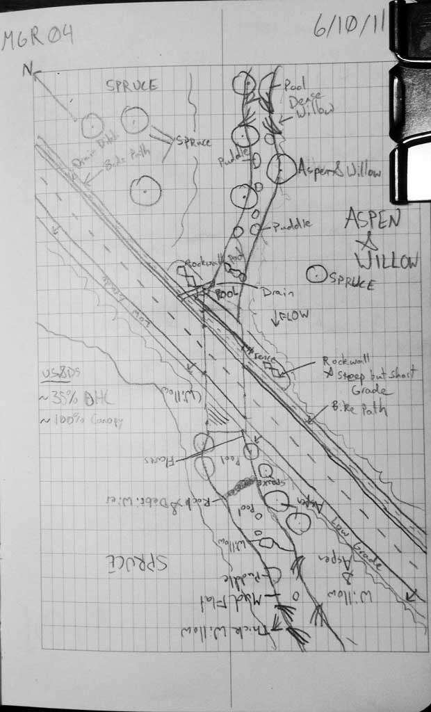
Fish Passage Site 10302172
Coordinates (dec. deg.): 58.40497°, -134.55069°
Legal Description: C040S066E17
Region: Southeast
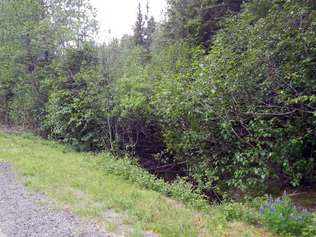
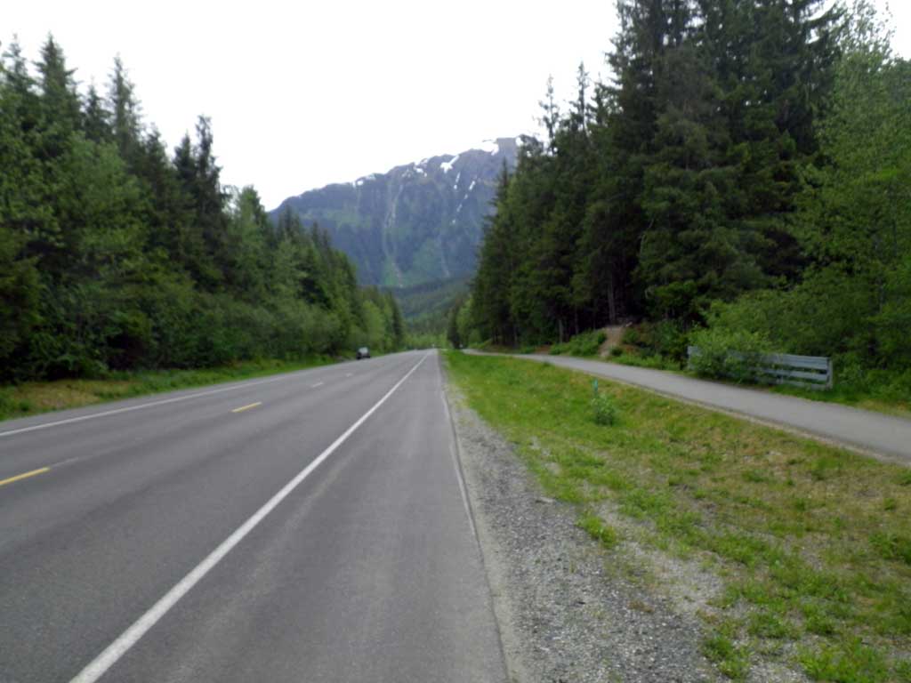
Road Name: Glacier Spur Road
Datum: NAD83
Quad Name / ITM: Juneau B-2
AWC Stream #:
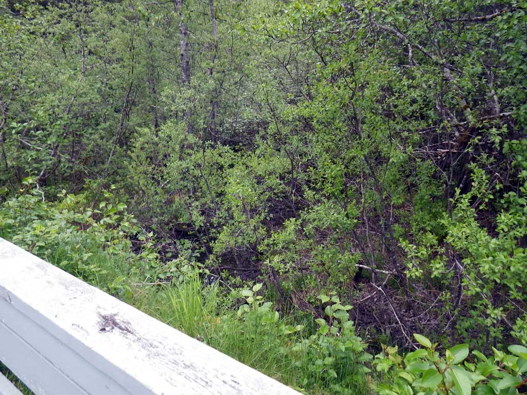
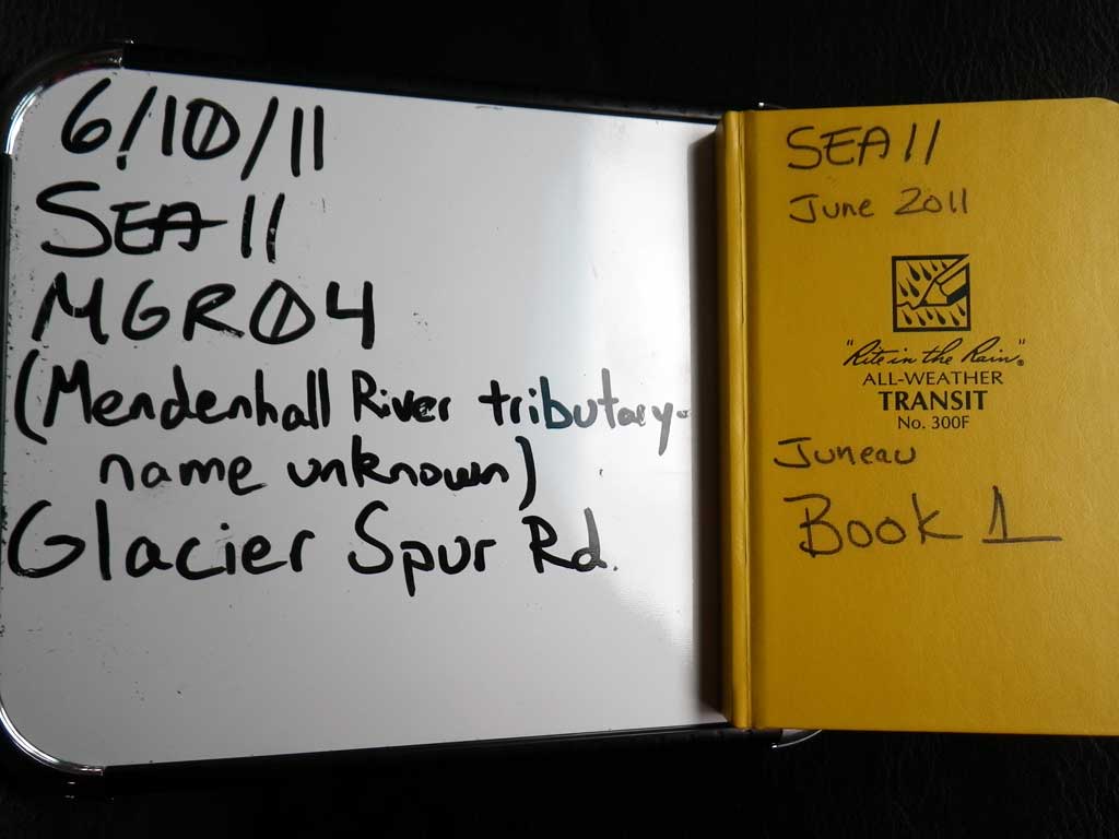
Stream Name: Mendenhall River tributary
Elevation:
Site Comments: None
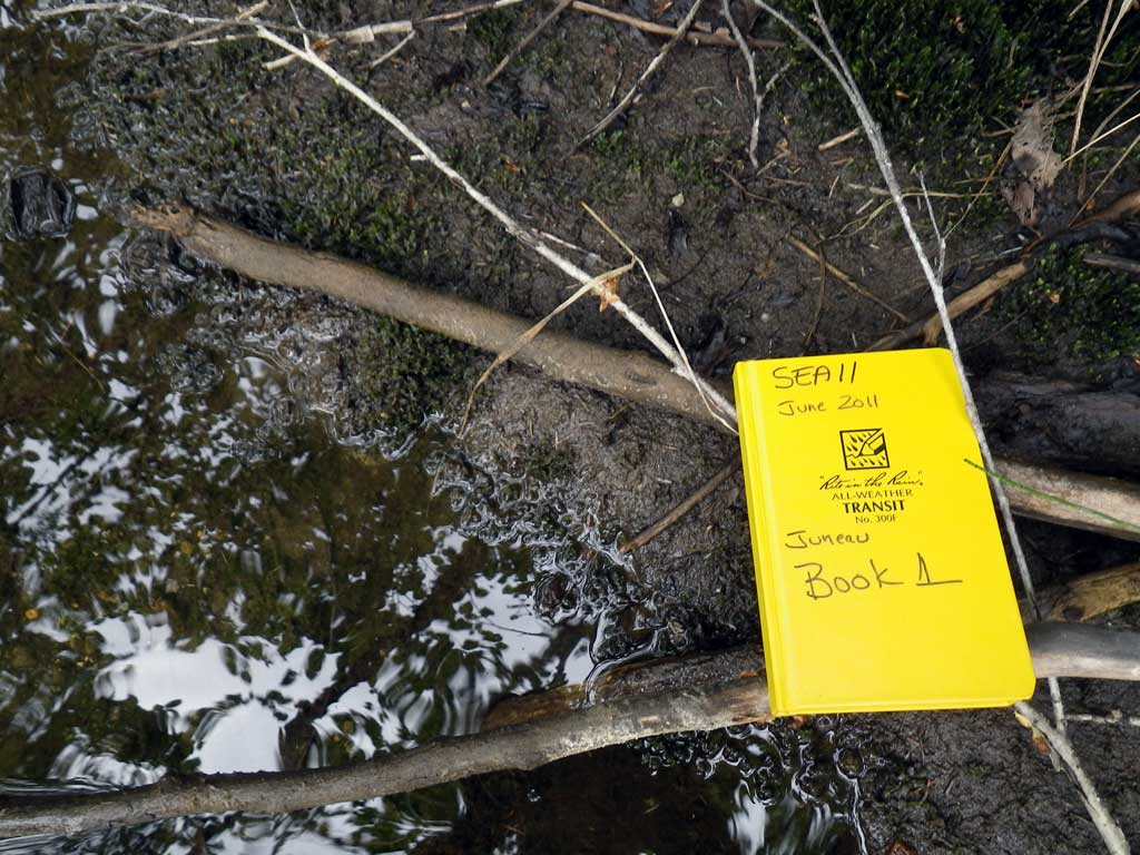
Survey SEA11-MGR04
Project Supervisor: Gillian O'Doherty, Alaska Department of Fish and Game
— Anchorage, AK
Observers: Mark Eisenman, Jason Olds
Overall Fish Passage Rating:
Tidal: No
Backwatered: Yes
Step Pools: No
Construction Year:
Site Observations:
- Culvert gradient gray
- Constriction ratio gray
- Debris Flow
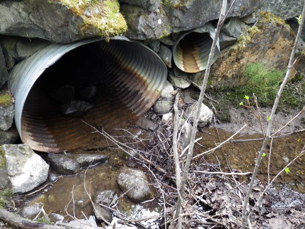
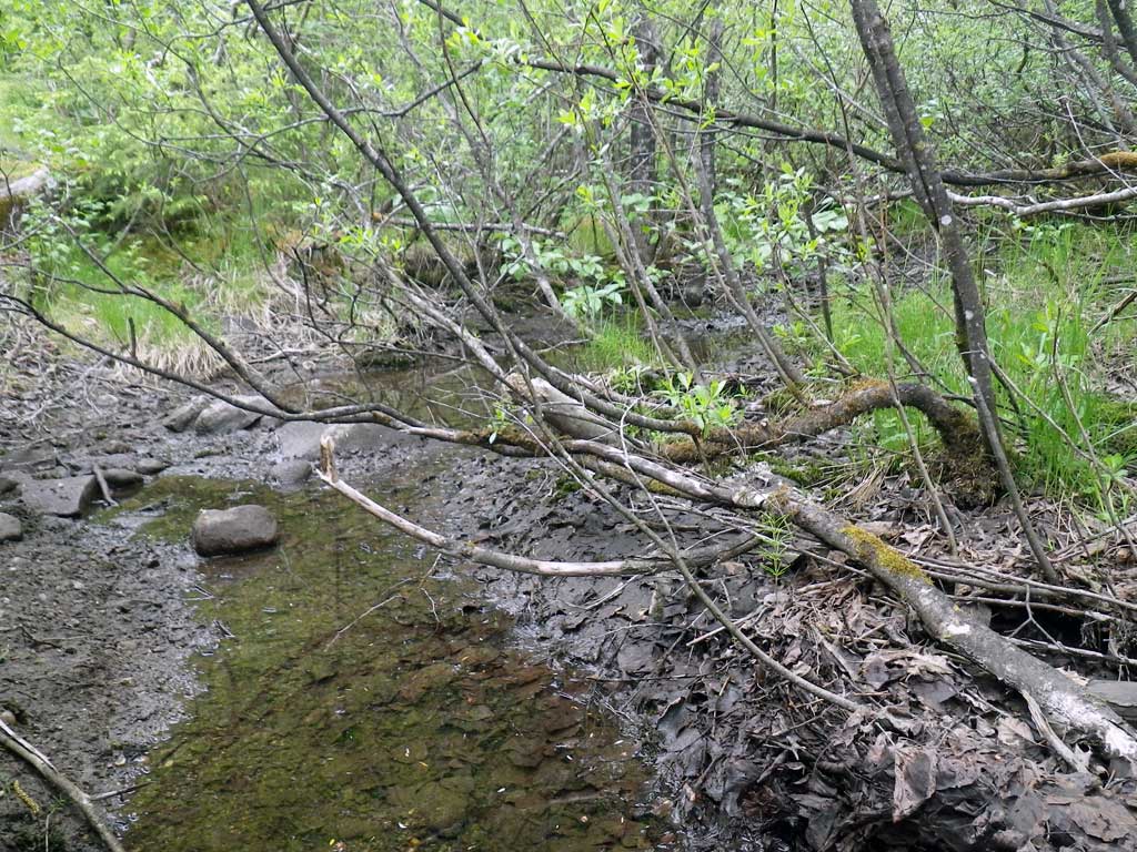
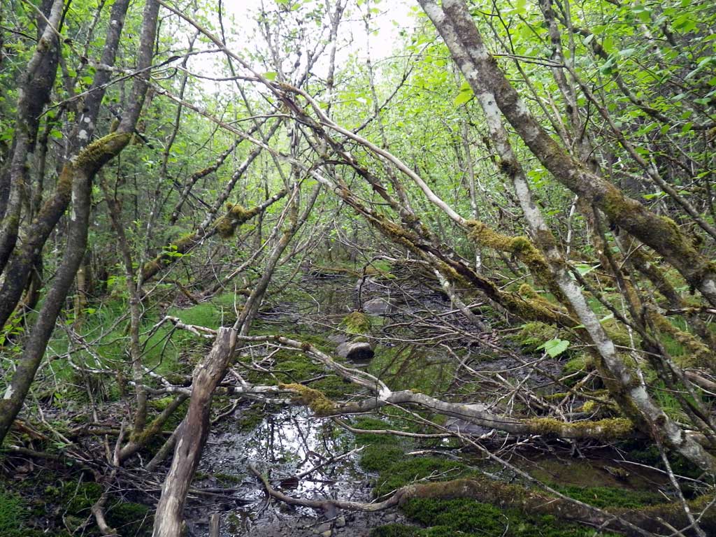
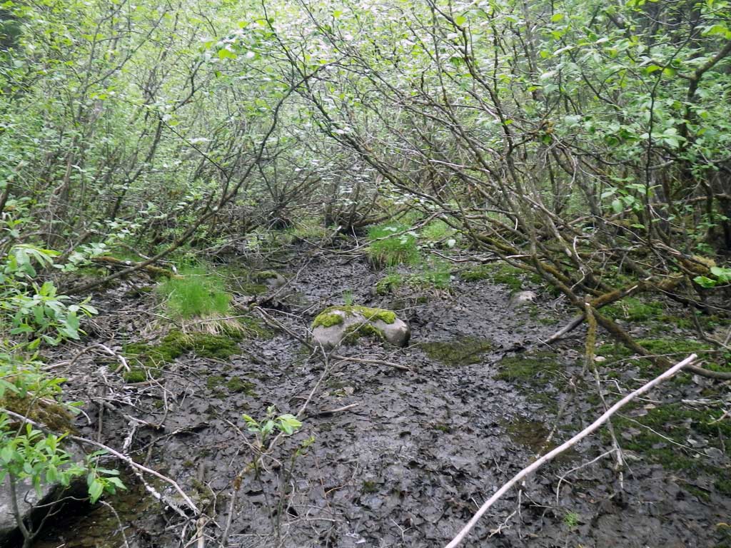
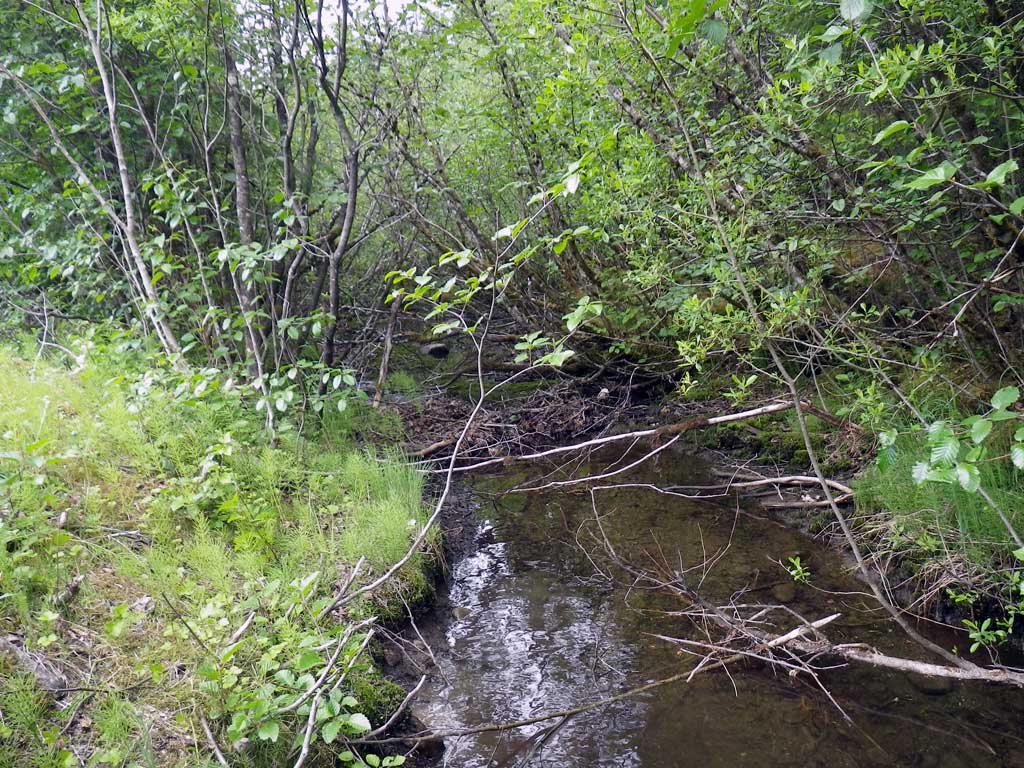
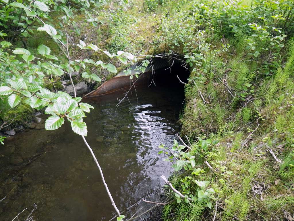
Comments: Low water levels. Creek was dry in some areas upstream at time of survey, downstream as well. Nice deep pool structures present upstream and downstream with debris dams present as well. Stream may be connected to MGR03, No traps were set as stream is already in AWC.
Culvert Measurements
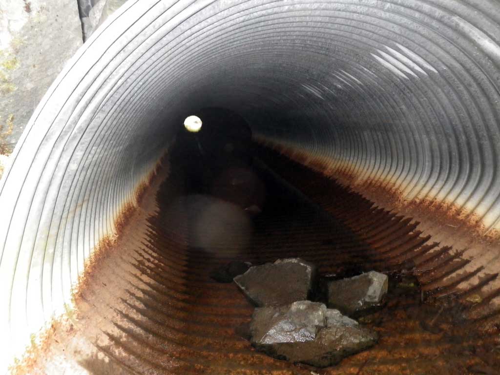
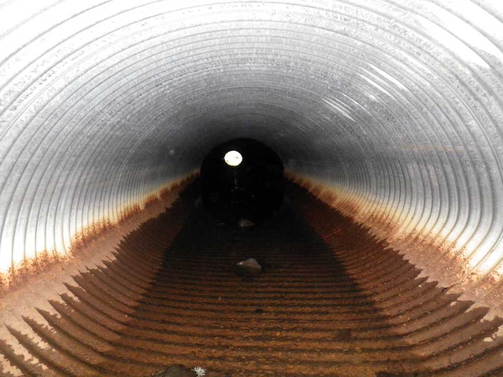
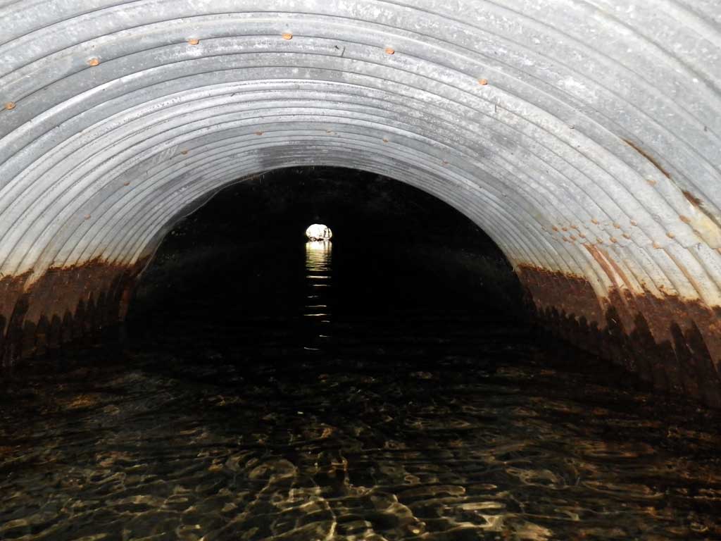
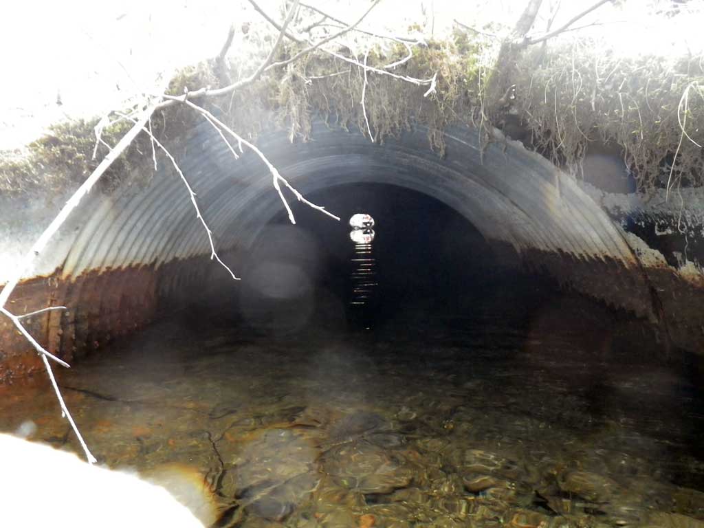
| ID: 1 | Structure Type: Oval (Corrugated steel) | Fish Passage Rating: | |||||||||||||||||||||||||||||||||||||||||
|
|
|
|||||||||||||||||||||||||||||||||||||||||
Culvert Observations:
|
|||||||||||||||||||||||||||||||||||||||||||
Stream Measurements
|
|
| Stream Width Type | Distance From Crossing (ft) |
Stream Width (ft) |
|---|---|---|
| Upstream ordinary high water | 72.0 | 7.00 |
| Upstream ordinary high water | 134.0 | 5.00 |
| Upstream ordinary high water | 164.0 | 9.10 |
Elevations
| Locator ID | Culvert Number |
River Distance (ft)1 |
Distance From Crossing (ft)2 |
Relative Elevation (ft) |
|---|---|---|---|---|
| Road Elev | 100.82 | |||
| D/S Water Surface Elev | 0.00 | 94.39 | ||
| D/S Grade Ctrl (Thalweg) | 0.00 | 94.10 | ||
| D/S Tailcrest or 1st Thalweg (Dry, tailwater control) | 9.00 | 94.41 | ||
| Outlet Pool Water Elev | 29.00 | 94.29 | ||
| Max Pool Depth | 29.00 | 93.46 | ||
| D/S Water Surface Elev | 31.00 | 94.32 | ||
| D/S Grade Ctrl (Thalweg) (Sediment on apron at end of apron, invert out) | 31.00 | 93.23 | ||
| Outlet Invert (Invert out, on metal, BOP) | 36.00 | 93.23 | ||
| D/S Water Surface Elev (Invert out) | 36.00 | 94.31 | ||
| U/S Headwater (Invert in w/s, dry) | 144.40 | 94.31 | ||
| Inlet Culvert Invert (Invert in, on metal, BOP) | 144.40 | 94.23 |
Notes:
- River distance is measured continuously throughout the survey reach along the thalweg of the stream.
- Measured from each end of the crossing along the thalweg of the stream.
Fish Sampling Efforts
| Gear Type: None (A) | ||
| Comments: No traps set no fish observed. | ||
Fish Observations
No fish observations occurred during this survey.
Photos
Questions or comments about this report can be directed to dfg.dsf.webmaster@alaska.gov