Fish Passage Site 10302170
Coordinates (dec. deg.): 58.33908°, -134.54660°
Legal Description: C041S066E01
Region: Southeast
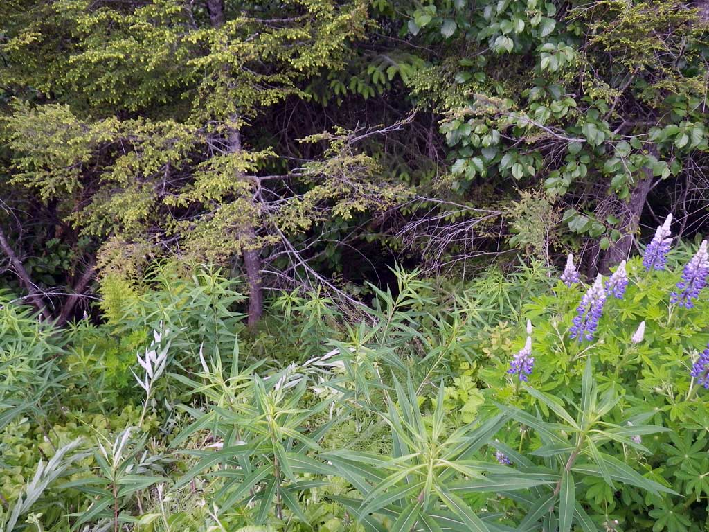
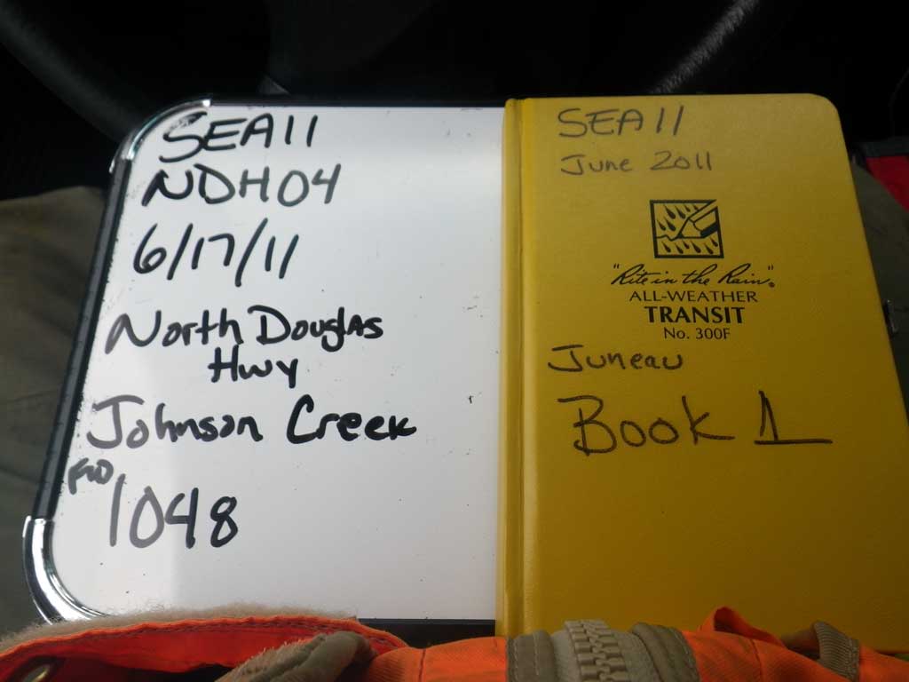
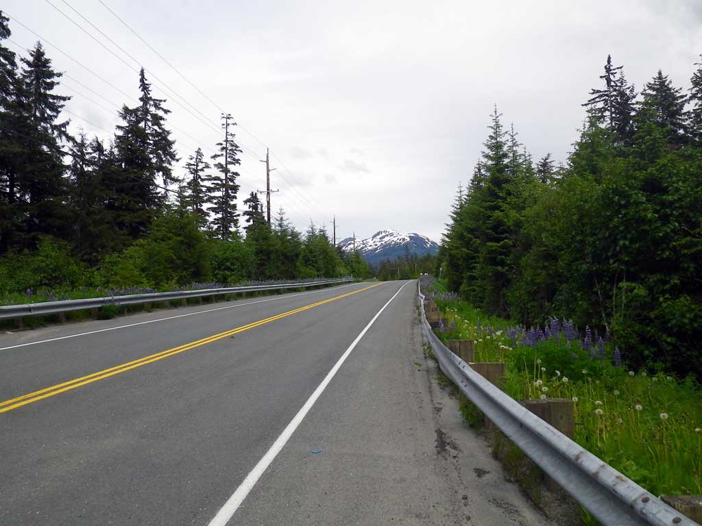
Road Name: North Douglas Highway
Datum: NAD83
Quad Name / ITM: Juneau B-2
AWC Stream #:
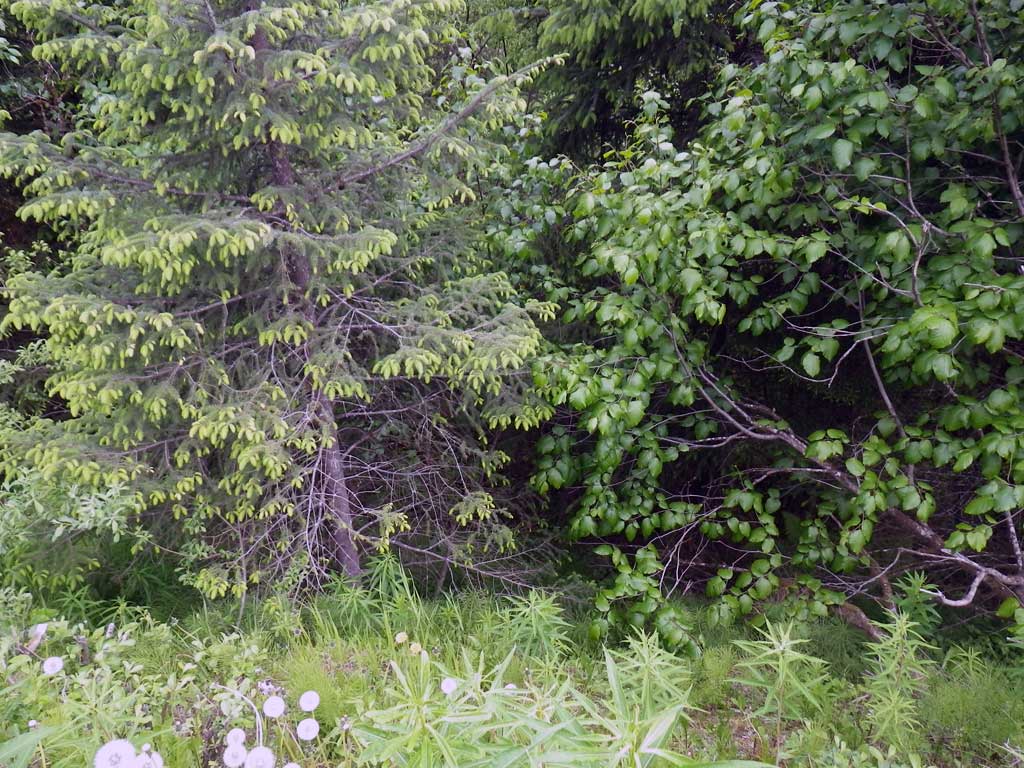
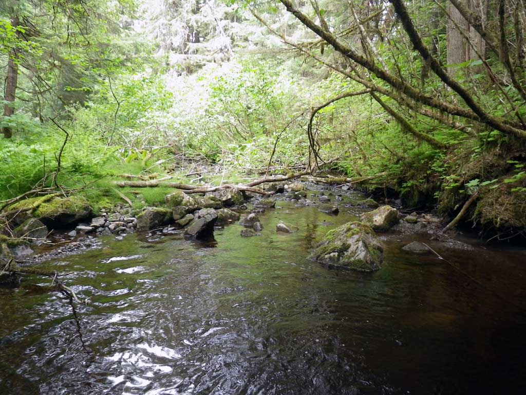
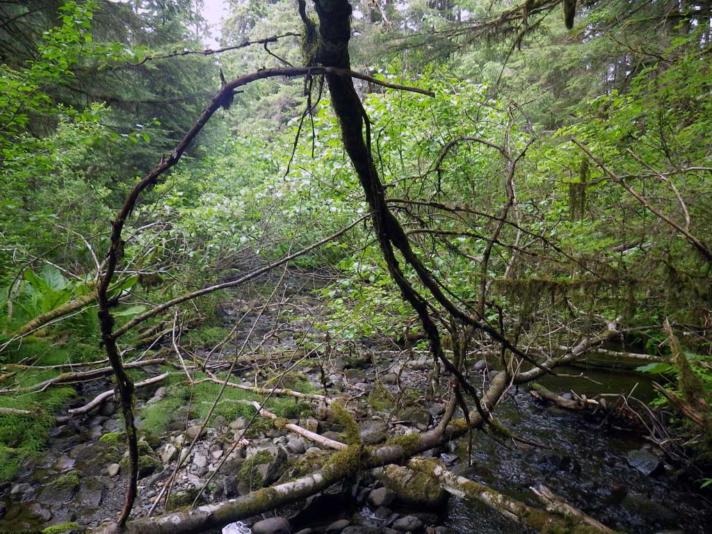
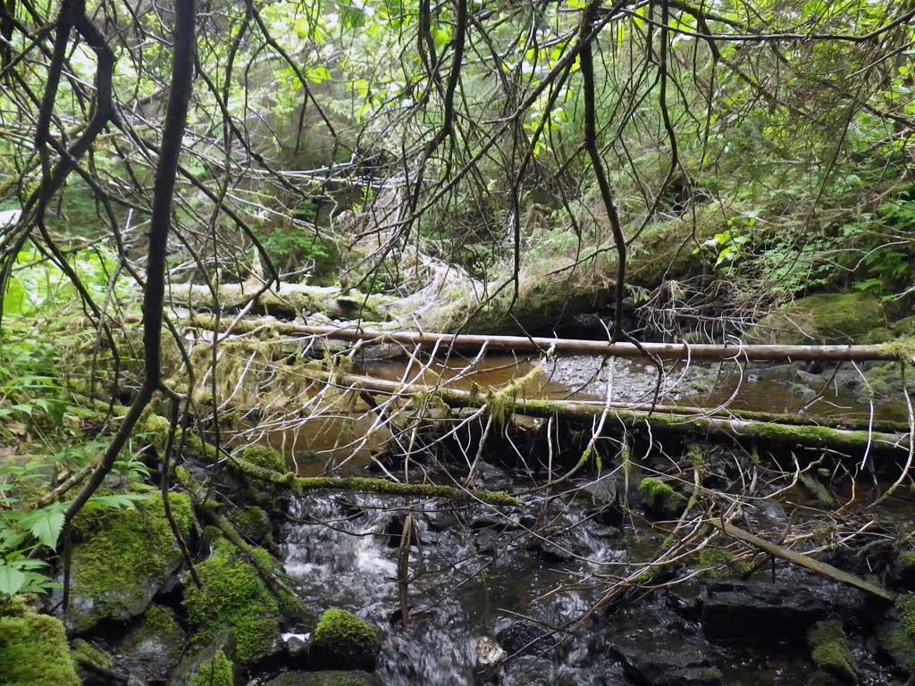
Stream Name: Johnson Creek
Elevation:
Site Comments: None
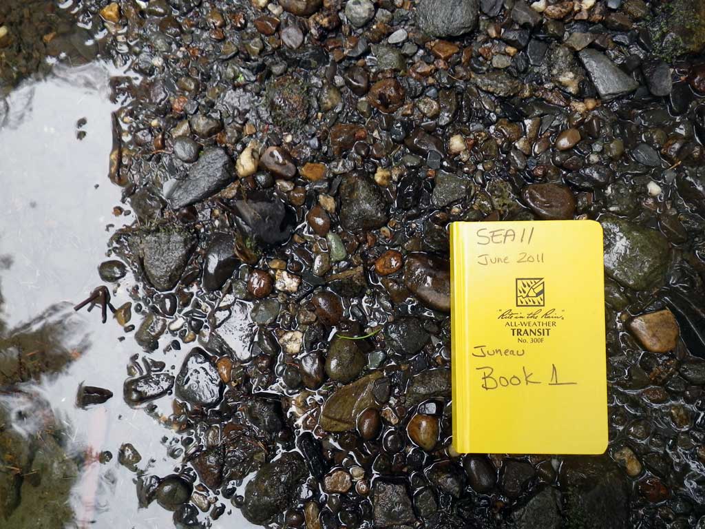
Survey SEA11-NDH04
Project Supervisor: Gillian O'Doherty, Alaska Department of Fish and Game
— Anchorage, AK
Observers: Mark Eisenman, Jason Olds
Overall Fish Passage Rating:
Tidal: No
Backwatered: No
Step Pools: No
Construction Year:
Site Observations:
- Constriction ratio red
- Culvert gradient red
- Outfall height gray
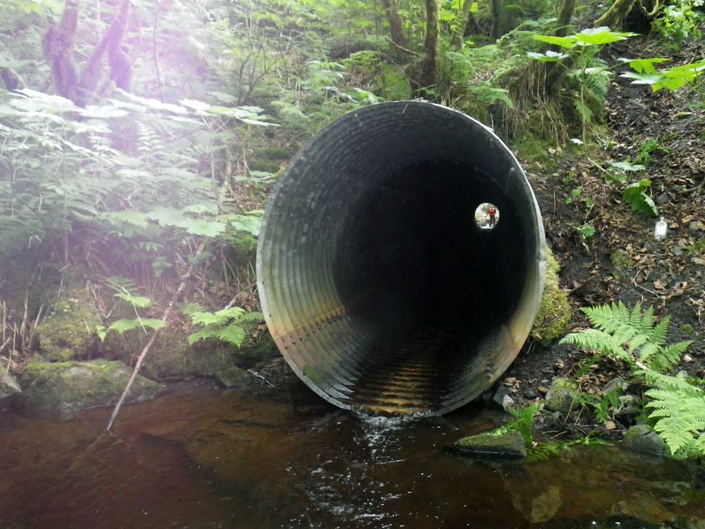
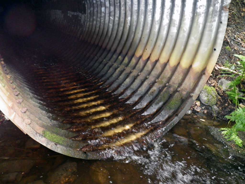
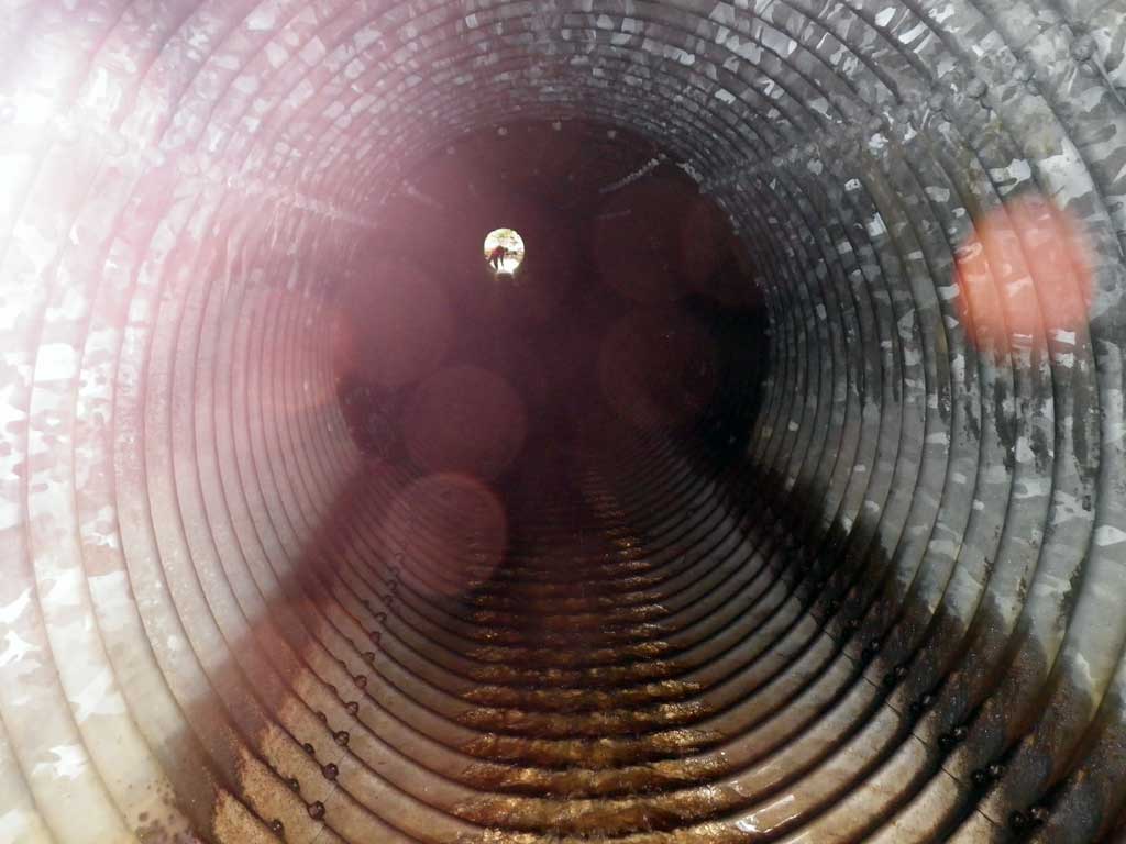
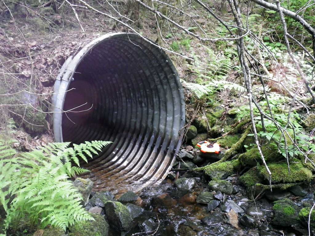
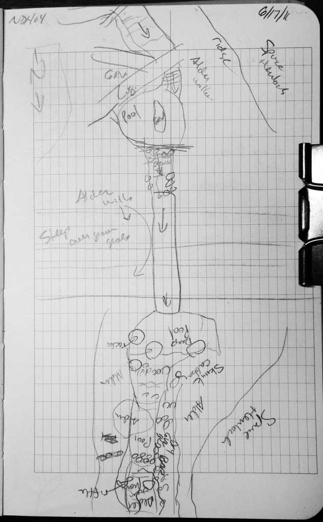
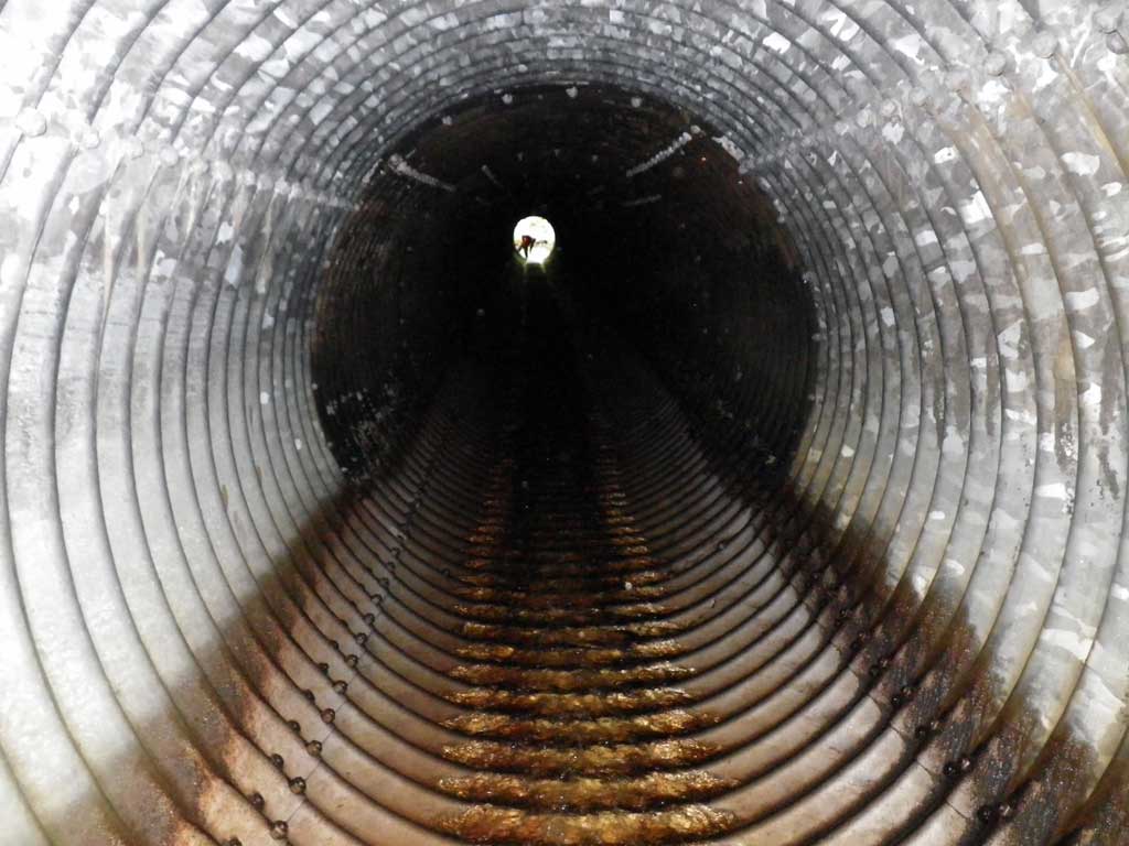
Comments: No traps set as stream was already in AWC. Vertical oval pipe. Gradient measurement taken 43 feet downstream from the invert in inside of pipe because a complete sighting through the pipe or over was not possible, pipe length/gradient was too long/steep to shoot level through the pipe and road fill grade was too steep and overgrown. Outfall was nearly a hydraulic jump at .11 feet however lower water levels could create a more significant freefall to pool.
Culvert Measurements
| ID: 1 | Structure Type: Oval (Corrugated steel) | Fish Passage Rating: | |||||||||||||||||||||||||||||||||||||||||
|
|
|
|||||||||||||||||||||||||||||||||||||||||
Culvert Observations:
|
|||||||||||||||||||||||||||||||||||||||||||
Stream Measurements
|
|
| Stream Width Type | Distance From Crossing (ft) |
Stream Width (ft) |
|---|---|---|
| Upstream ordinary high water | 38.0 | 14.30 |
| Upstream ordinary high water | 83.0 | 20.50 |
| Upstream ordinary high water | 155.0 | 11.80 |
Elevations
| Locator ID | Culvert Number |
River Distance (ft)1 |
Distance From Crossing (ft)2 |
Relative Elevation (ft) |
|---|---|---|---|---|
| D/S Grade Ctrl (Thalweg) | 0.00 | 97.98 | ||
| D/S Water Surface Elev | 0.00 | 98.37 | ||
| D/S Tailcrest or 1st Thalweg | 33.00 | 98.74 | ||
| D/S Water Surface Elev (Tailwater control) | 33.00 | 99.09 | ||
| Outlet Pool Water Elev | 50.00 | 99.14 | ||
| Max Pool Depth | 50.00 | 96.22 | ||
| D/S Water Surface Elev (Invert out) | 61.00 | 99.23 | ||
| Outlet Invert (Invert out, on metal) | 61.00 | 99.03 | ||
| D/S Grade Ctrl (Thalweg) (Substrate below invert out) | 61.00 | 98.28 | ||
| Misc. (Inside pipe, 43 feet from invert out, measurement for gradient estimation) | 104.00 | 101.76 |
Notes:
- River distance is measured continuously throughout the survey reach along the thalweg of the stream.
- Measured from each end of the crossing along the thalweg of the stream.
Fish Sampling Efforts
| Gear Type: None (A) | ||
| Comments: No traps set no fish observed. | ||
Fish Observations
No fish observations occurred during this survey.
Photos
Questions or comments about this report can be directed to dfg.dsf.webmaster@alaska.gov