Fish Passage Site 10302169
Coordinates (dec. deg.): 58.41444°, -134.54607°
Legal Description: C040S066E08
Region: Southeast
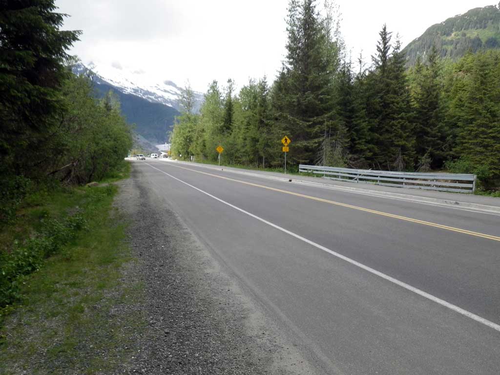
Road Name: Glacier Spur Road
Datum: NAD83
Quad Name / ITM: Juneau B-2
AWC Stream #:
Stream Name: Steep Creek tributary
Elevation:
Site Comments: None
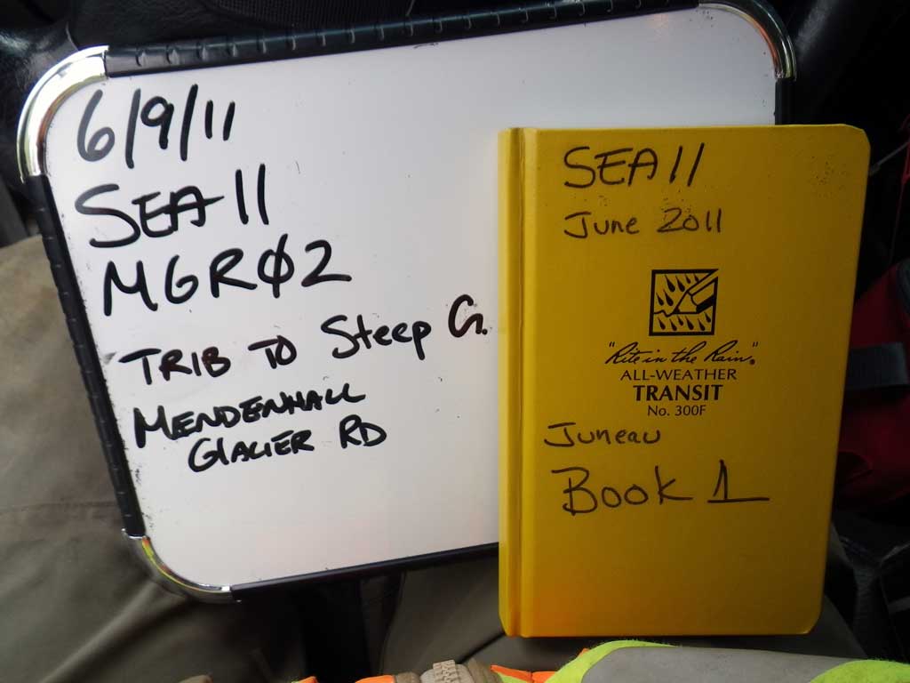
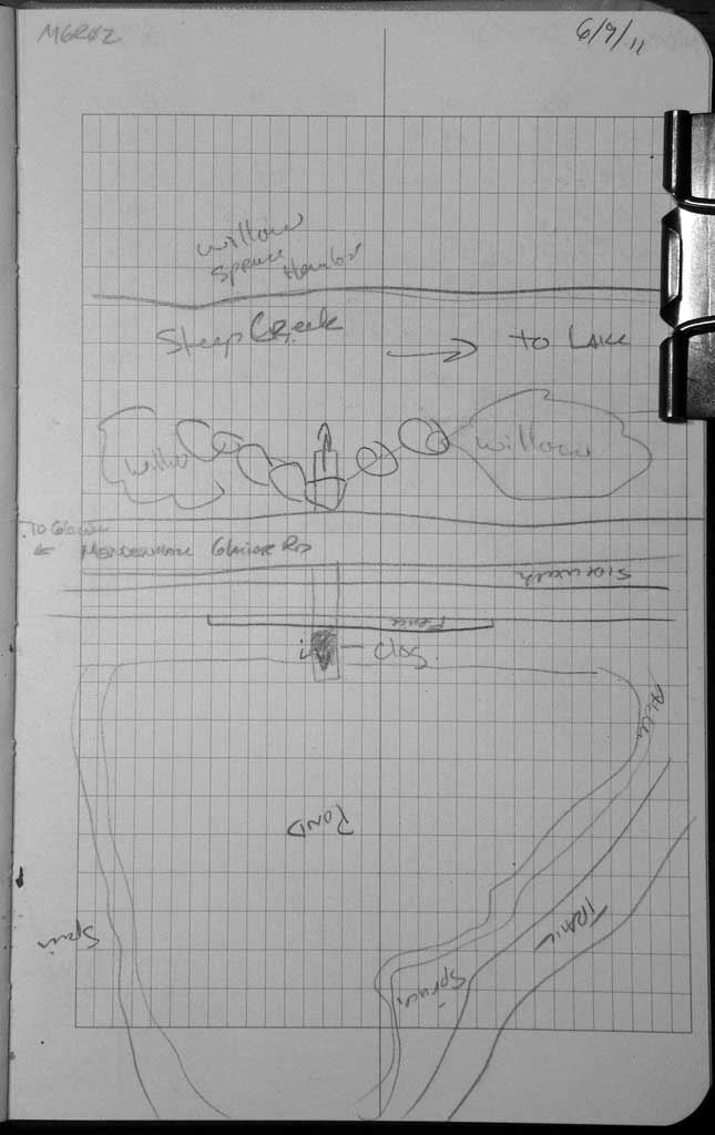
Survey SEA11-MGR02
Project Supervisor: Gillian O'Doherty, Alaska Department of Fish and Game
— Anchorage, AK
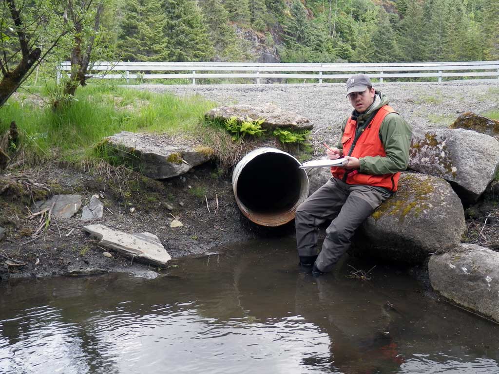
Observers: Mark Eisenman, Jason Olds
Overall Fish Passage Rating:
Tidal: No
Backwatered: No
Step Pools: No
Construction Year:
Site Observations:
- Debris Flow
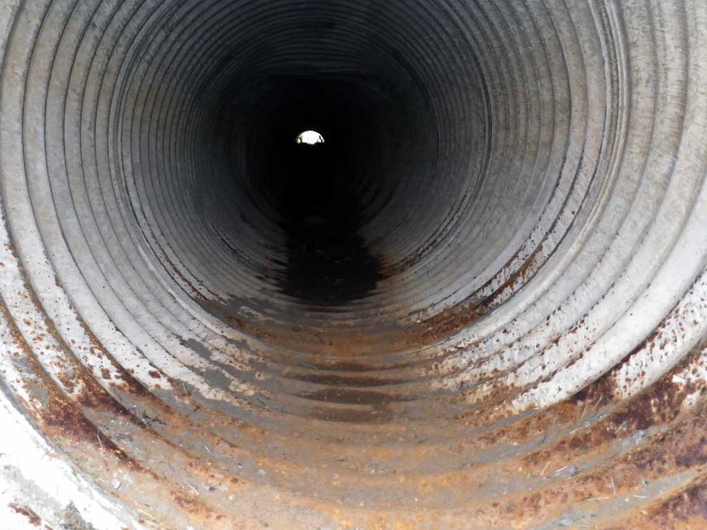
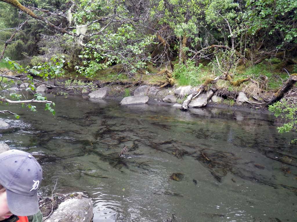
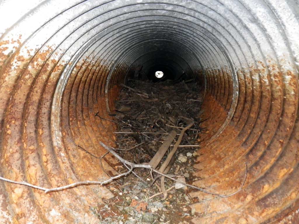
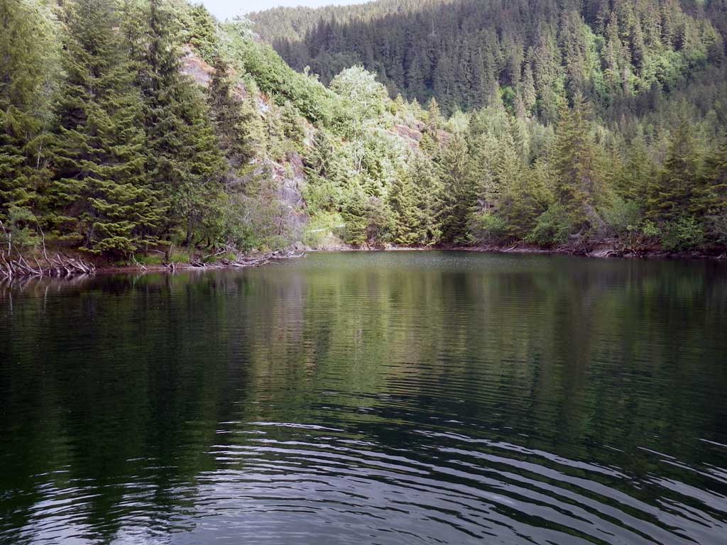
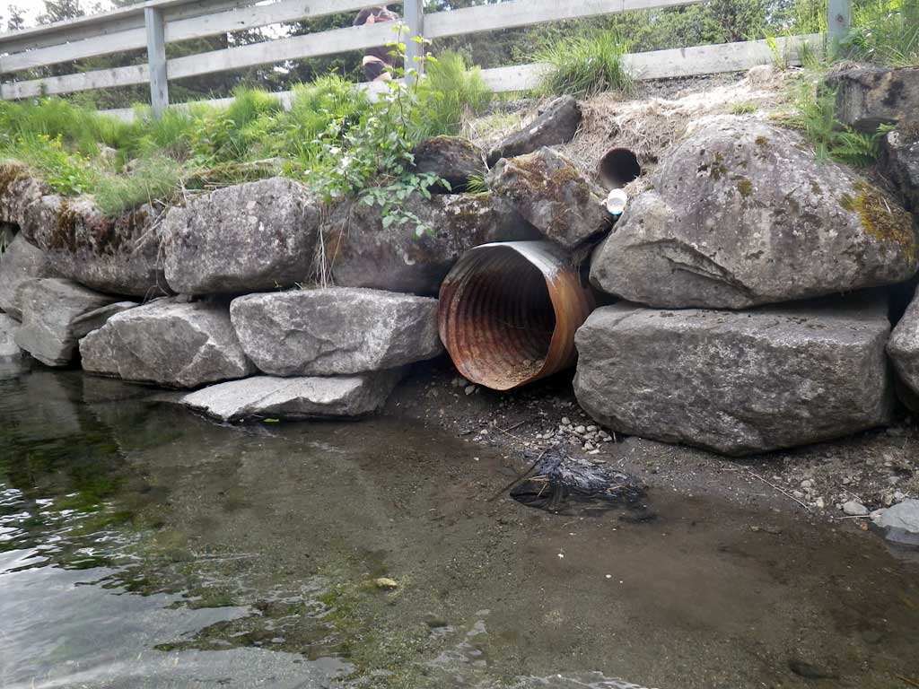
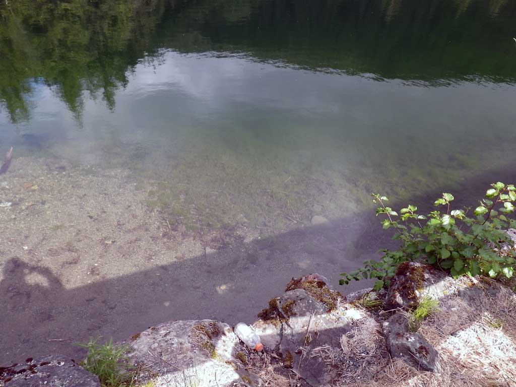
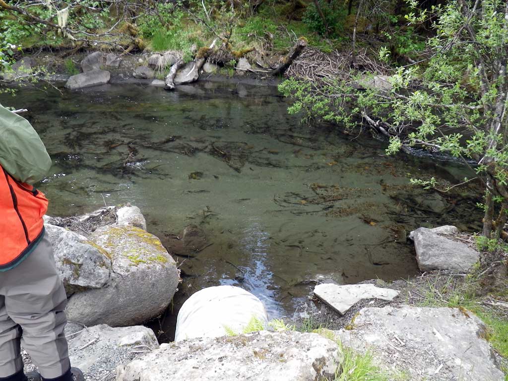
Comments: Pond upstream, culvert drains to Steep Creek. No traps were set as stream is already in AWC. Culvert was dry at time of survey. Approximately 100 yards North of MGR01. At ordinary high water backwater conditions are likely. Rust line at pond 1.5 feet. Fish observed in pond, likely salmonid. Debris in pipe. Constriction ratio and OHW width measurements omitted due to pond condition upstream and outlet is at confluence of Steep Creek.
Culvert Measurements
| ID: 1 | Structure Type: Circular pipe (Corrugated steel) | Fish Passage Rating: | |||||||||||||||||||||||||||||||||||||||||
|
|
|
|||||||||||||||||||||||||||||||||||||||||
Comments: Culvert was dry at time of culvert, but looking at rust line height culvert is likely backwatered when stream is high enough to back water up into pond. |
|||||||||||||||||||||||||||||||||||||||||||
Culvert Observations:
|
|||||||||||||||||||||||||||||||||||||||||||
Stream Measurements
|
|
No stream width data available.
Elevations
| Locator ID | Culvert Number |
River Distance (ft)1 |
Distance From Crossing (ft)2 |
Relative Elevation (ft) |
|---|---|---|---|---|
| Road Elev | 99.43 | |||
| D/S Thalweg | 0.00 | 94.50 | ||
| D/S Water Surface Elev | 0.00 | 94.83 | ||
| D/S Water Surface Elev (Water surface directly below culvert) | 1.00 | 94.83 | ||
| Outlet Invert (Invert out, BOP on metal) | 1.00 | 95.23 | ||
| D/S Thalweg (Substrate directly below pipe at invert out) | 1.00 | 94.57 | ||
| Outlet Culvert Top (Invert out, TOP on metal) | 1.00 | 97.28 | ||
| Inlet Culvert Top (Invert in, TOP on metal) | 65.80 | 97.33 | ||
| U/S Thalweg (Substrate directly below pipe at invert in) | 65.80 | 94.63 | ||
| Inlet Culvert Invert (Invert in, BOP on metal) | 65.80 | 95.29 | ||
| U/S Water Surface Elev | 66.80 | 94.57 | ||
| U/S Thalweg | 66.80 | 94.44 |
Notes:
- River distance is measured continuously throughout the survey reach along the thalweg of the stream.
- Measured from each end of the crossing along the thalweg of the stream.
Fish Sampling Efforts
| Gear Type: Visual Observation, Ground (A) | ||
| Comments: Unidentified fish, likely salmonids, observed in upstream pool. | ||
Fish Observations
No fish observations occurred during this survey.
Photos
Questions or comments about this report can be directed to dfg.dsf.webmaster@alaska.gov