Fish Passage Site 10302168
Coordinates (dec. deg.): 58.29556°, -134.54587°
Legal Description: C041S066E24
Region: Southeast
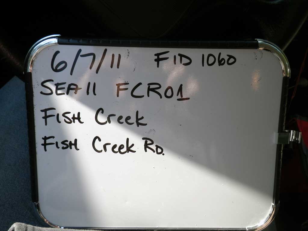
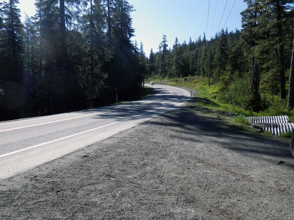
Road Name: Fish Creek Road
Datum: NAD83
Quad Name / ITM: Juneau B-2
AWC Stream #:
Stream Name: Fish Creek
Elevation:
Site Comments: Site is on a campground road at the Eagle River campground out the Glacier Highway.
Survey SEA11-FCR01
Project Supervisor: Gillian O'Doherty, Alaska Department of Fish and Game
— Anchorage, AK
Observers: Mark Eisenman, Jason Olds
Overall Fish Passage Rating:
Tidal: No
Backwatered: No
Step Pools: No
Construction Year:
Site Observations:
- Culvert gradient red
- Constriction ratio gray
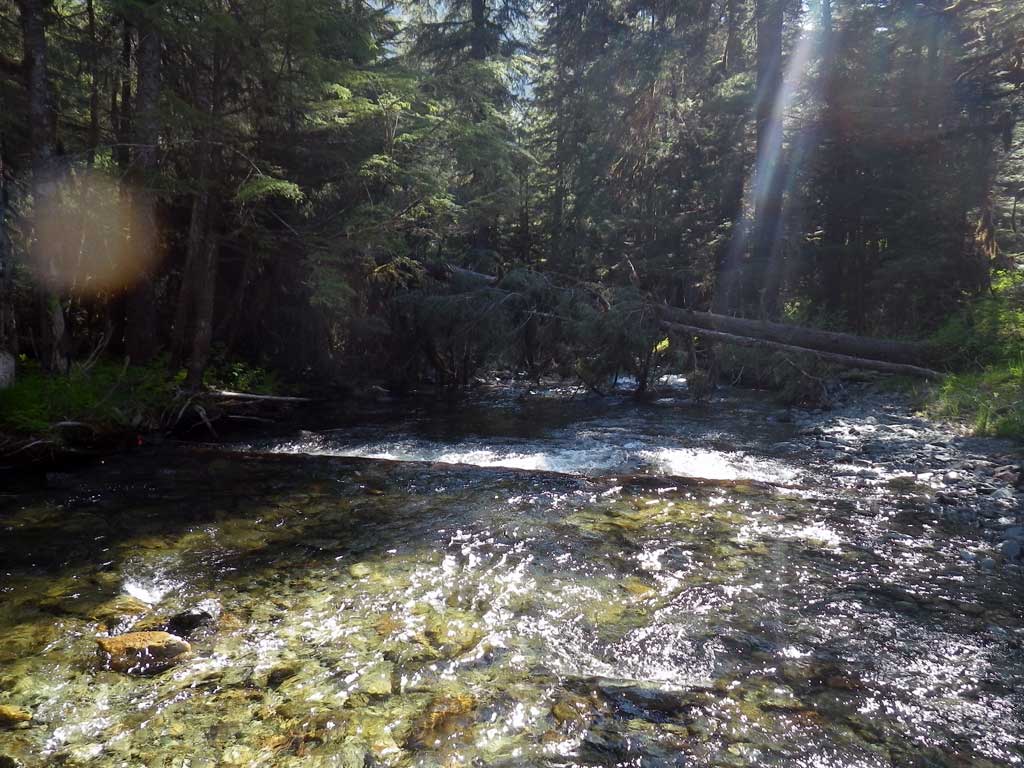
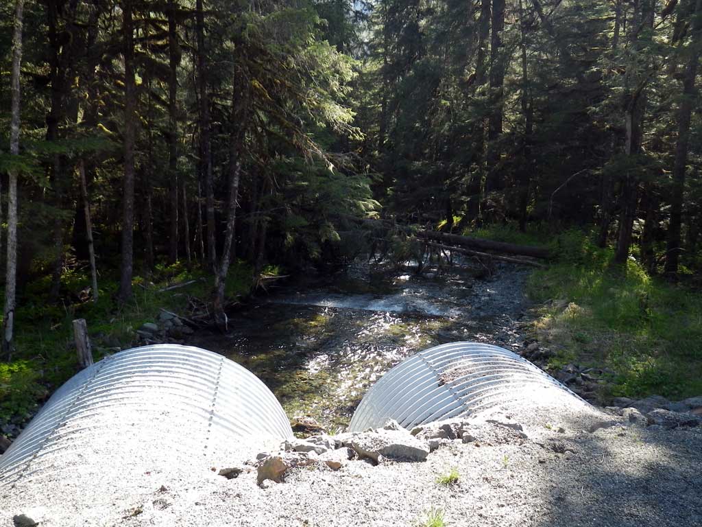
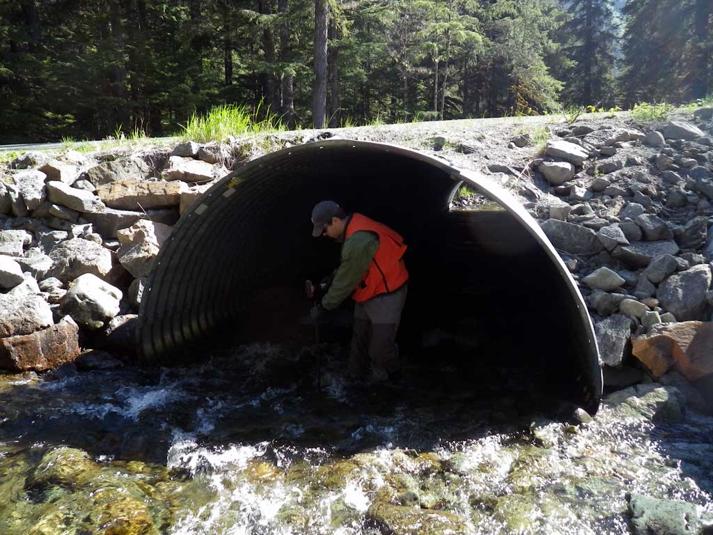
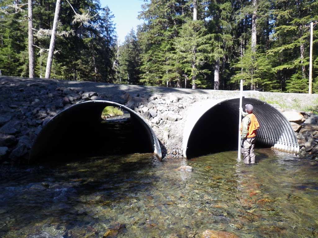
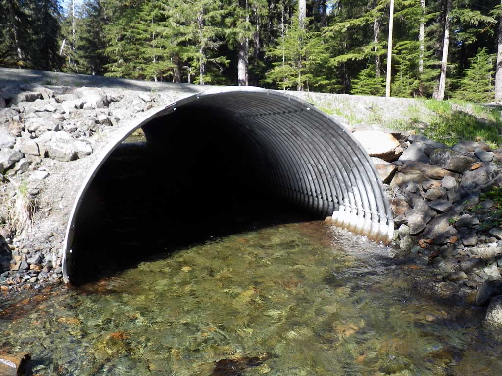
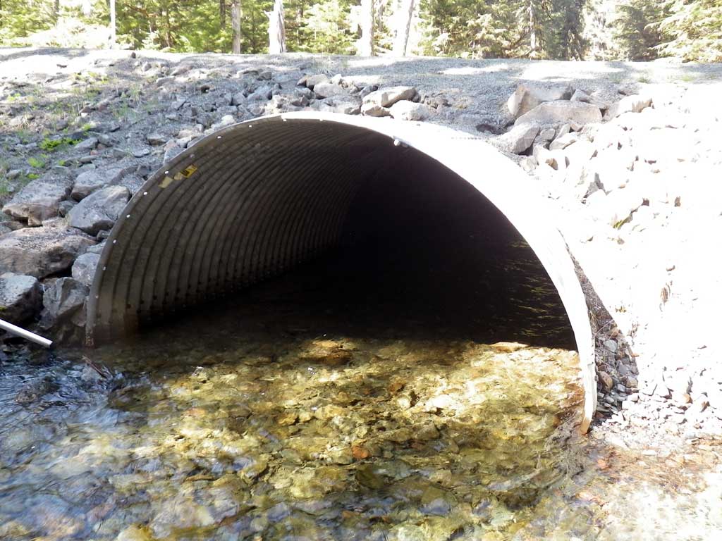
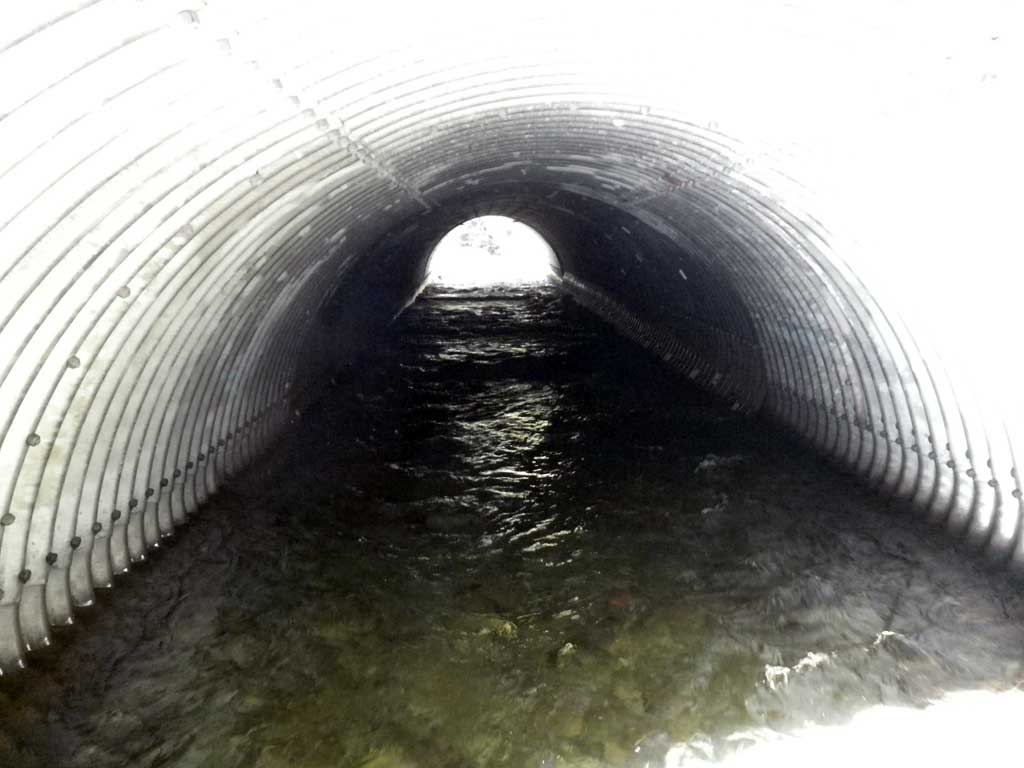
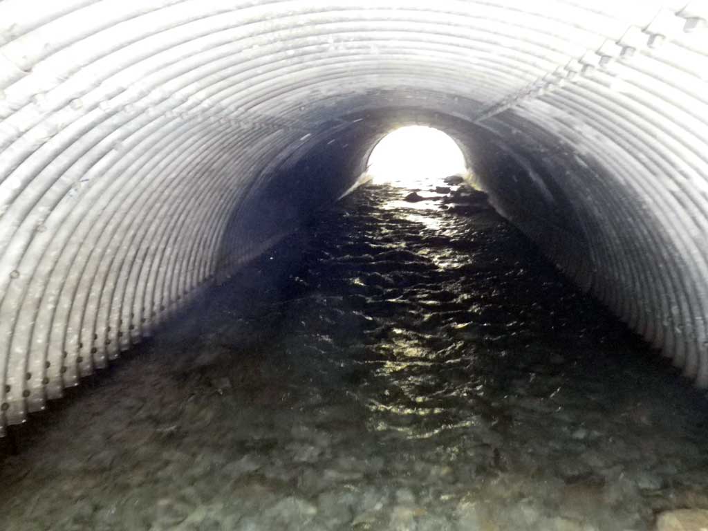
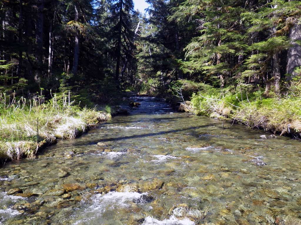
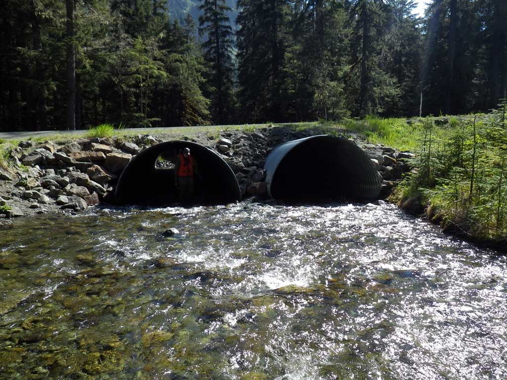
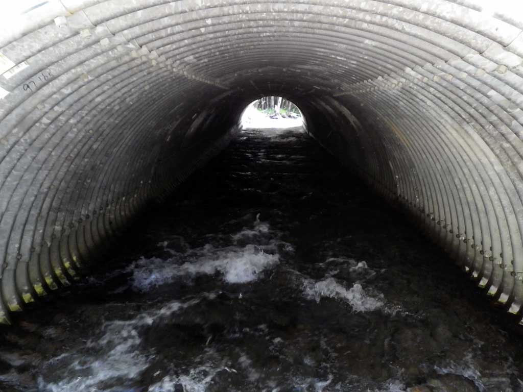
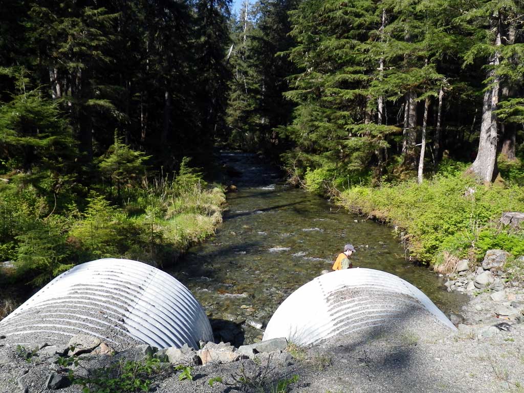
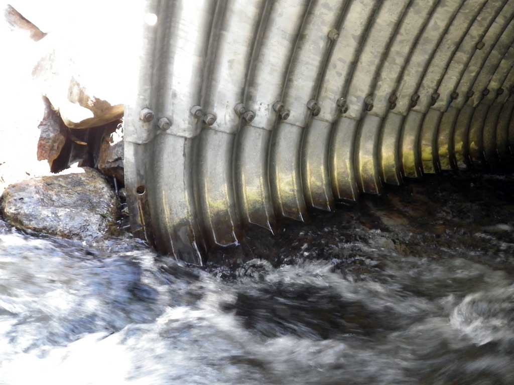
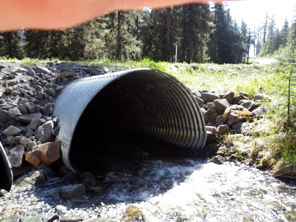
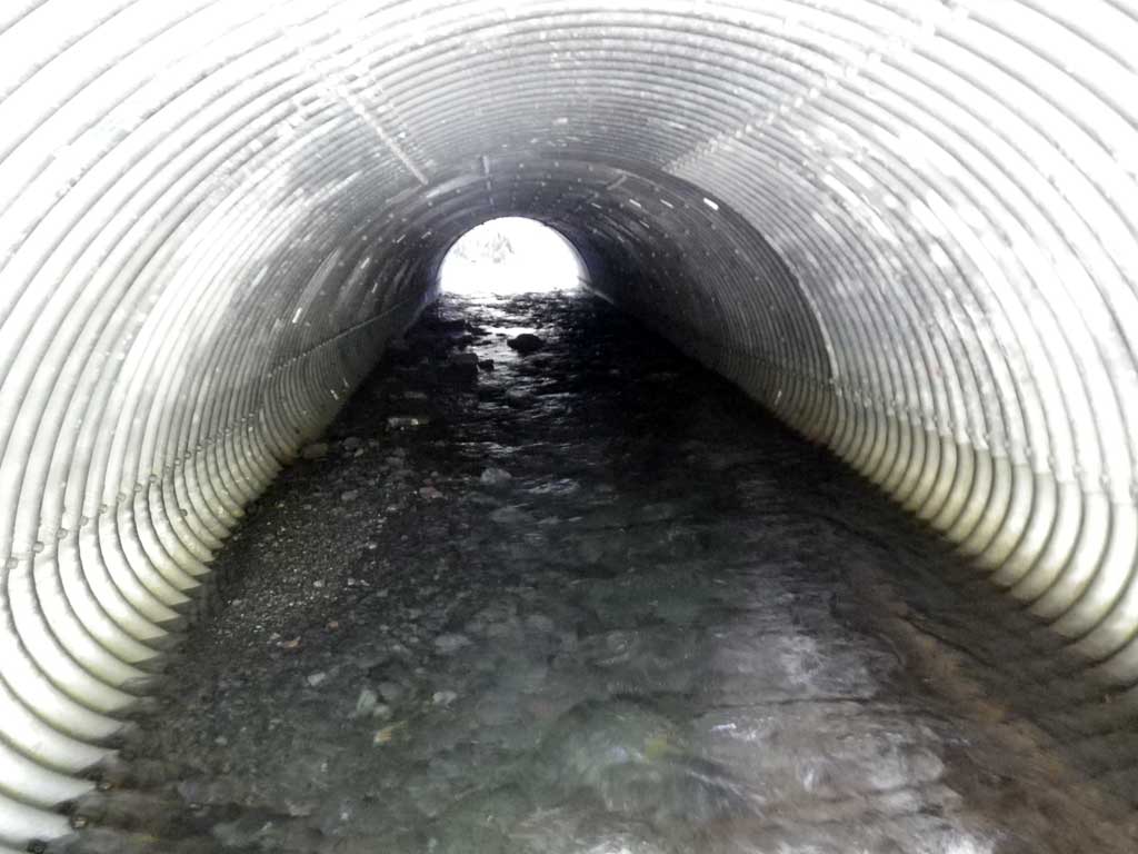
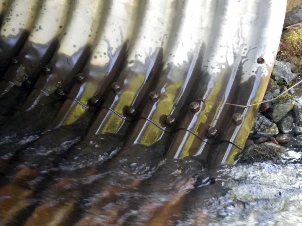
Comments: Downstream 2 log wier gradient control structures. Culverts likely embedded at one time, substrate in both pipes partially pushed out. Culvert 1 has substrate at inlet and culvert 2 has substrate at outlet, both insufficient depth. Upstream habitat high quality despite reported falls barrier downstream. Sighted a fish upstream from culvert in a pool, likely a Dolly. Upstream habitat high quality despite reoprted falls barrier downstream.
Culvert Measurements
| ID: 1 | Structure Type: Pipe-arch (Structural steel plate) | Fish Passage Rating: | |||||||||||||||||||||||||||||||||||||||||
|
|
|
|||||||||||||||||||||||||||||||||||||||||
Culvert Observations:
|
|||||||||||||||||||||||||||||||||||||||||||
| ID: 2 | Structure Type: Pipe-arch (Structural steel plate) | Fish Passage Rating: | |||||||||||||||||||||||||||||||||||||||||
|
|
|
|||||||||||||||||||||||||||||||||||||||||
Culvert Observations:
|
|||||||||||||||||||||||||||||||||||||||||||
Stream Measurements
|
|
| Stream Width Type | Distance From Crossing (ft) |
Stream Width (ft) |
|---|---|---|
| Upstream ordinary high water | 31.0 | 25.90 |
| Upstream ordinary high water | 55.0 | 24.30 |
| Upstream ordinary high water | 79.0 | 24.20 |
Elevations
| Locator ID | Culvert Number |
River Distance (ft)1 |
Distance From Crossing (ft)2 |
Relative Elevation (ft) |
|---|---|---|---|---|
| Road Elev | 101.06 | |||
| D/S Grade Ctrl (Thalweg) | 0.00 | 87.80 | ||
| D/S Water Surface Elev | 0.00 | 88.67 | ||
| D/S Grade Ctrl (Thalweg) | 53.50 | 90.30 | ||
| D/S Water Surface Elev | 53.50 | 90.78 | ||
| D/S Tailcrest or 1st Thalweg | 84.00 | 90.20 | ||
| D/S Water Surface Elev | 84.00 | 91.68 | ||
| Outlet Pool Water Elev | 97.50 | 91.80 | ||
| Max Pool Depth | 97.50 | 90.02 | ||
| Outlet Thalweg (C1 substrate) | 1 | 111.00 | 90.58 | |
| D/S Water Surface Elev (C2) | 2 | 111.00 | 91.84 | |
| D/S Water Surface Elev (C1) | 1 | 111.00 | 91.87 | |
| Outlet Thalweg (C2 substrate) | 2 | 111.00 | 91.12 | |
| Outlet Culvert Top (C2) | 2 | 111.00 | 97.33 | |
| Outlet Culvert Top (C1) | 1 | 111.00 | 97.62 | |
| Inlet Culvert Top (C1) | 1 | 199.10 | 99.29 | |
| Inlet Culvert Top (C2) | 2 | 199.10 | 99.77 | |
| Inlet Culvert Invert (C2 bottom of pipe) | 2 | 199.10 | 92.18 | |
| Inlet Thalweg (C1 substrate) | 1 | 199.10 | 92.63 | |
| U/S Water Surface Elev (C2) | 2 | 199.10 | 93.01 | |
| U/S Water Surface Elev (C1) | 1 | 199.10 | 93.41 | |
| U/S Headwater (C1) | 1 | 202.10 | 93.46 | |
| U/S Headwater (C2) | 2 | 202.10 | 93.09 | |
| U/S Grade Ctrl (Thalweg) | 343.10 | 95.84 | ||
| U/S Water Surface Elev | 343.10 | 96.84 | ||
| U/S Grade Ctrl (Thalweg) | 394.10 | 98.70 | ||
| U/S Water Surface Elev | 394.10 | 99.17 |
Notes:
- River distance is measured continuously throughout the survey reach along the thalweg of the stream.
- Measured from each end of the crossing along the thalweg of the stream.
Fish Sampling Efforts
| Gear Type: Minnow Trap (A) | Trap Duration(h): 4.75 | |
| Comments: Likely Dolly observed in a pool upstream approximately 200 feet from culvert, none captured however | ||
| Gear Type: Minnow Trap (B) | Trap Duration(h): 4.75 | |
| Comments: No fish observed or captured downstream from culvert | ||
| Gear Type: Visual Observation, Ground (C) | ||
| Comments: Unidentified fish (probably Dolly Varden) sighted upstream from culvert. | ||
Fish Observations
No fish observations occurred during this survey.
Photos
Questions or comments about this report can be directed to dfg.dsf.webmaster@alaska.gov