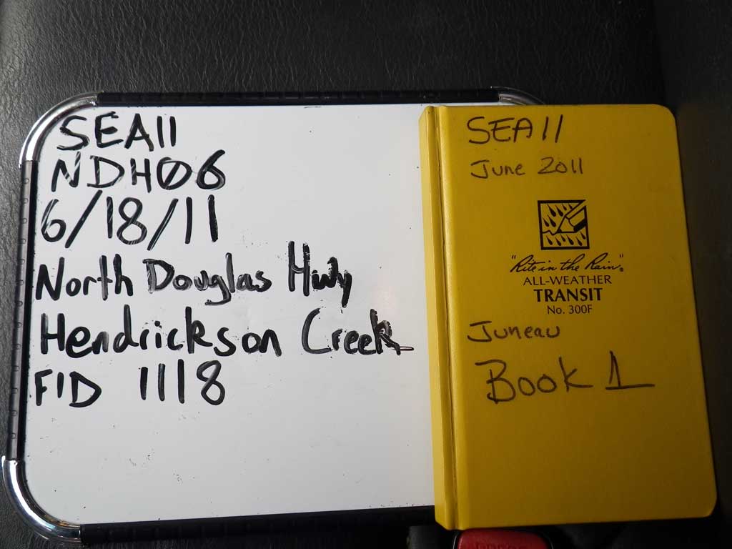
Fish Passage Site 10302165
Coordinates (dec. deg.): 58.33865°, -134.52521°
Legal Description: C041S067E06
Region: Southeast
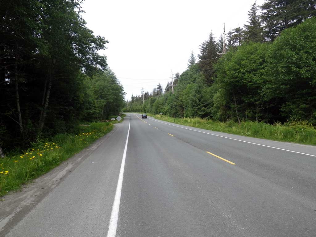
Road Name: North Douglas Highway
Datum: NAD83
Quad Name / ITM: Juneau B-2
AWC Stream #:
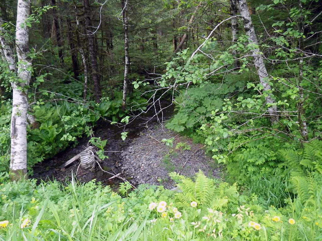
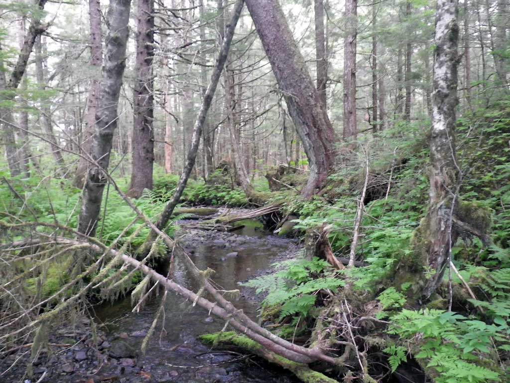
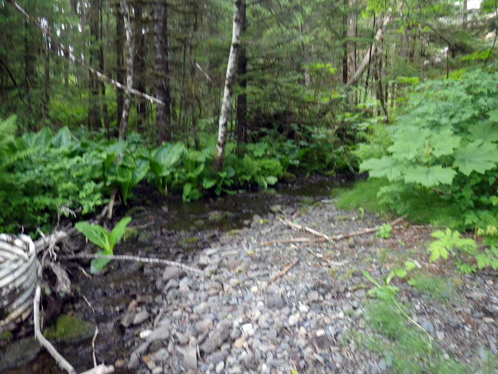
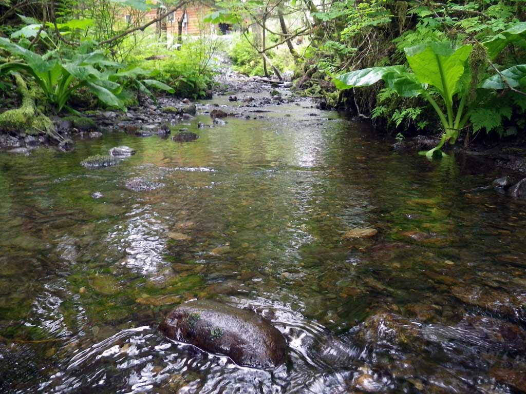
Stream Name: Hendrickson Creek
Elevation:
Site Comments: None
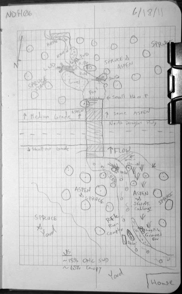
Survey SEA11-NDH06
Project Supervisor: Gillian O'Doherty, Alaska Department of Fish and Game
— Anchorage, AK
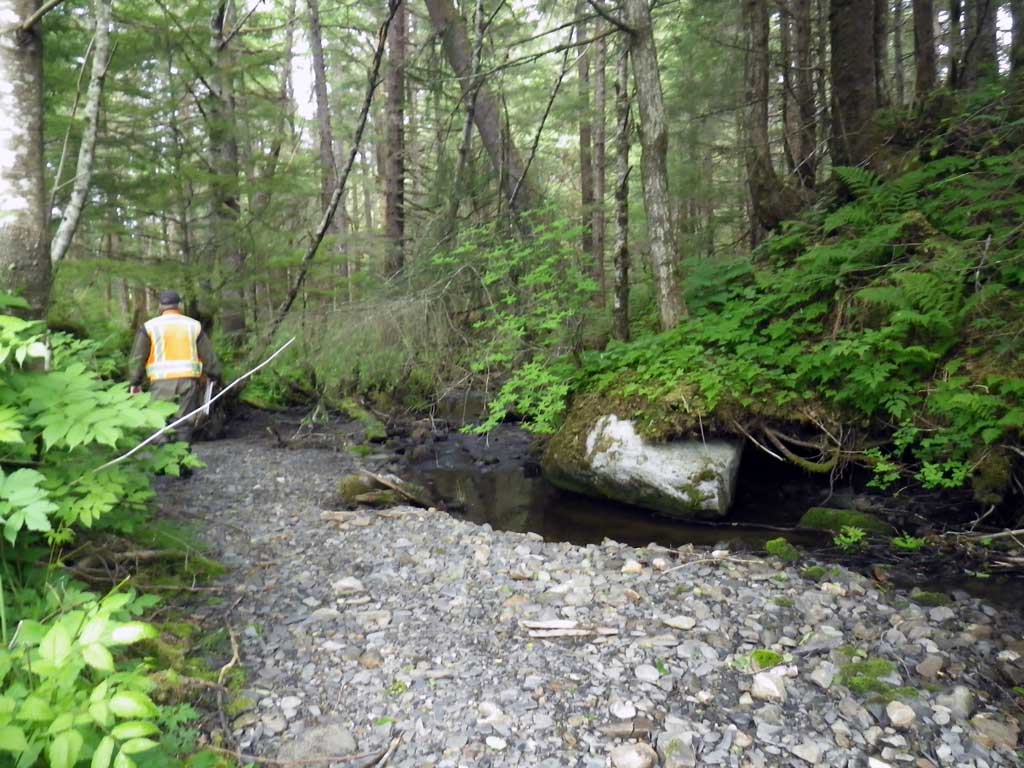
Observers: Mark Eisenman, Jason Olds
Overall Fish Passage Rating:
Tidal: No
Backwatered: No
Step Pools: No
Construction Year:
Site Observations:
- Culvert gradient red
- Constriction ratio gray
- Outfall height gray
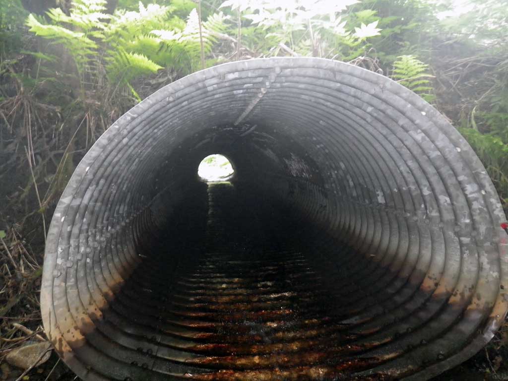
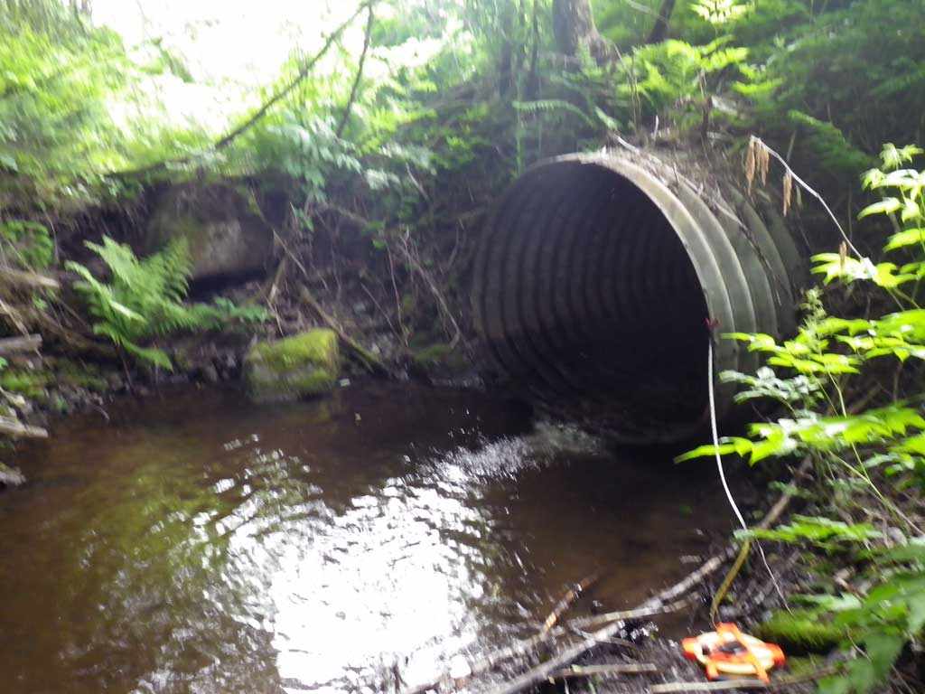
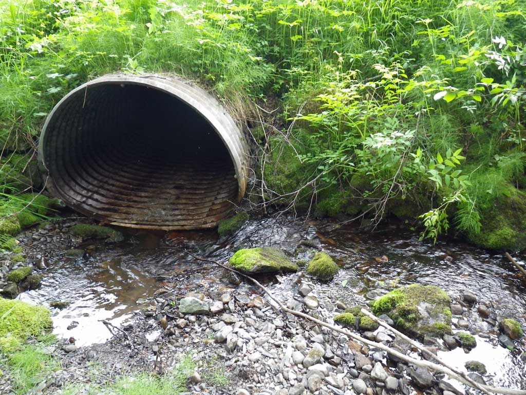
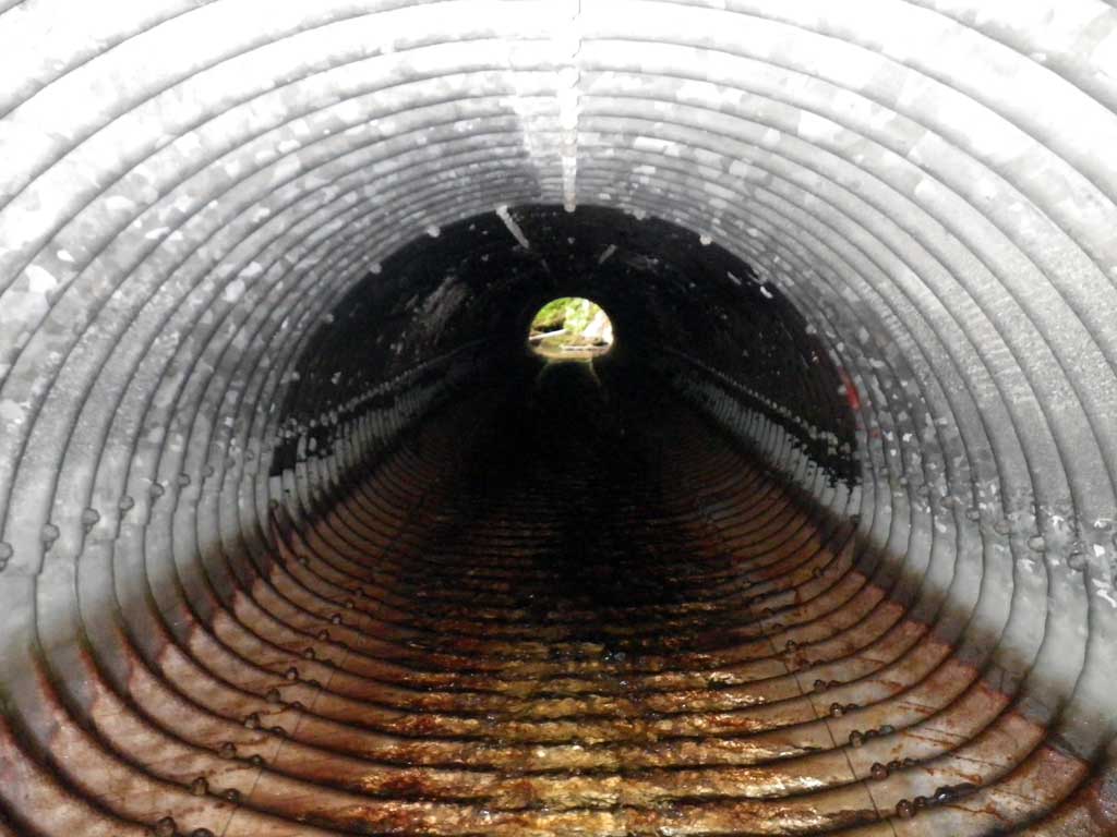
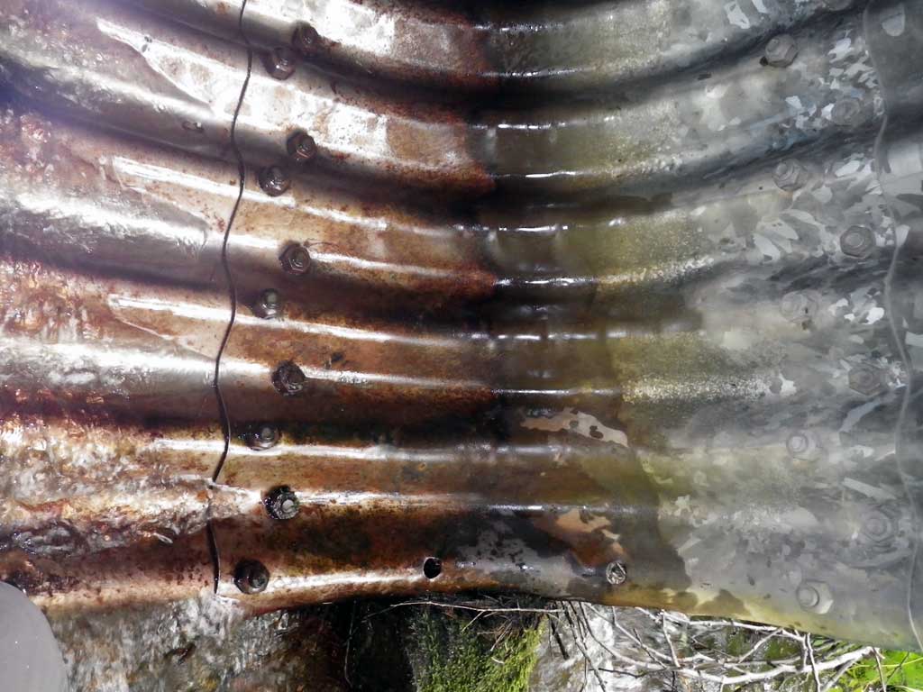
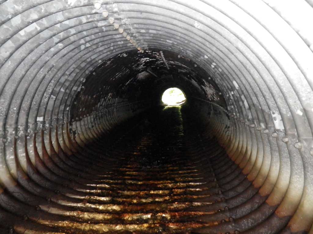
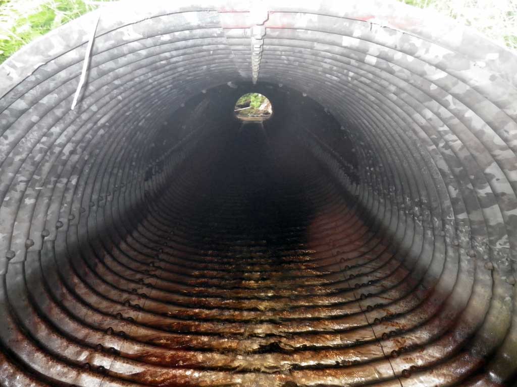
Comments: No traps were set as stream is already in AWC. There is a small amount of culvert damage at the invert in. Fish were observed downstream of culvert. There may be another culvert further upstream on a private road. There was a house situated high on the bank of the river approximately 100 feet downstream on a steep grade that could face erosion problems.
Culvert Measurements
| ID: 1 | Structure Type: Pipe-arch (Structural steel plate) | Fish Passage Rating: | |||||||||||||||||||||||||||||||||||||||||
|
|
|
|||||||||||||||||||||||||||||||||||||||||
Culvert Observations:
|
|||||||||||||||||||||||||||||||||||||||||||
Stream Measurements
|
|
| Stream Width Type | Distance From Crossing (ft) |
Stream Width (ft) |
|---|---|---|
| Upstream ordinary high water | 44.0 | 10.20 |
| Upstream ordinary high water | 69.0 | 10.10 |
| Upstream ordinary high water | 138.0 | 8.90 |
Elevations
| Locator ID | Culvert Number |
River Distance (ft)1 |
Distance From Crossing (ft)2 |
Relative Elevation (ft) |
|---|---|---|---|---|
| Road Elev | 99.72 | |||
| D/S Grade Ctrl (Thalweg) | 0.00 | 85.97 | ||
| D/S Water Surface Elev | 0.00 | 86.24 | ||
| D/S Grade Ctrl (Thalweg) | 21.00 | 86.41 | ||
| D/S Water Surface Elev | 21.00 | 86.85 | ||
| D/S Water Surface Elev | 30.00 | 86.94 | ||
| D/S Tailcrest or 1st Thalweg | 30.00 | 86.58 | ||
| Outlet Pool Water Elev | 39.50 | 86.94 | ||
| Max Pool Depth | 39.50 | 85.24 | ||
| Outlet Culvert Top | 45.00 | 92.24 | ||
| Outlet Invert (Invert out, on metal) | 45.00 | 86.99 | ||
| D/S Water Surface Elev (Invert out) | 45.00 | 87.16 | ||
| Inlet Culvert Top | 120.18 | 94.60 | ||
| Inlet Culvert Invert (Invert in, on metal) | 120.18 | 89.76 | ||
| U/S Water Surface Elev (Invert in) | 120.18 | 89.91 | ||
| U/S Headwater (1st resting) | 122.00 | 89.95 | ||
| U/S Grade Ctrl (Thalweg) (1st resting, on substrate) | 122.00 | 89.29 |
Notes:
- River distance is measured continuously throughout the survey reach along the thalweg of the stream.
- Measured from each end of the crossing along the thalweg of the stream.
Fish Sampling Efforts
| Gear Type: Visual Observation, Ground (A) | ||
| Comments: Unidentified fish observed downstream of culvert. | ||
Fish Observations
No fish observations occurred during this survey.
Photos
Questions or comments about this report can be directed to dfg.dsf.webmaster@alaska.gov