Fish Passage Site 10302162
Coordinates (dec. deg.): 58.35961°, -134.52292°
Legal Description: C040S066E33
Region: Southeast
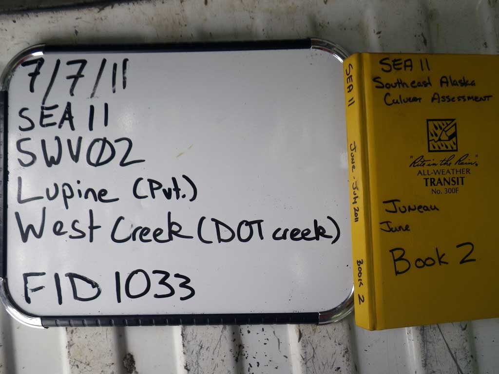
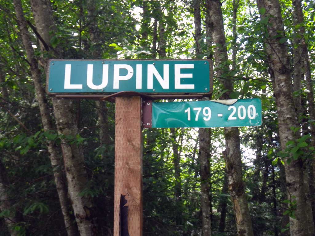
Road Name: Lupine Drive
Datum: NAD83
Quad Name / ITM: Juneau B-2
AWC Stream #:
Stream Name: West Creek -DOT
Elevation:
Site Comments: None
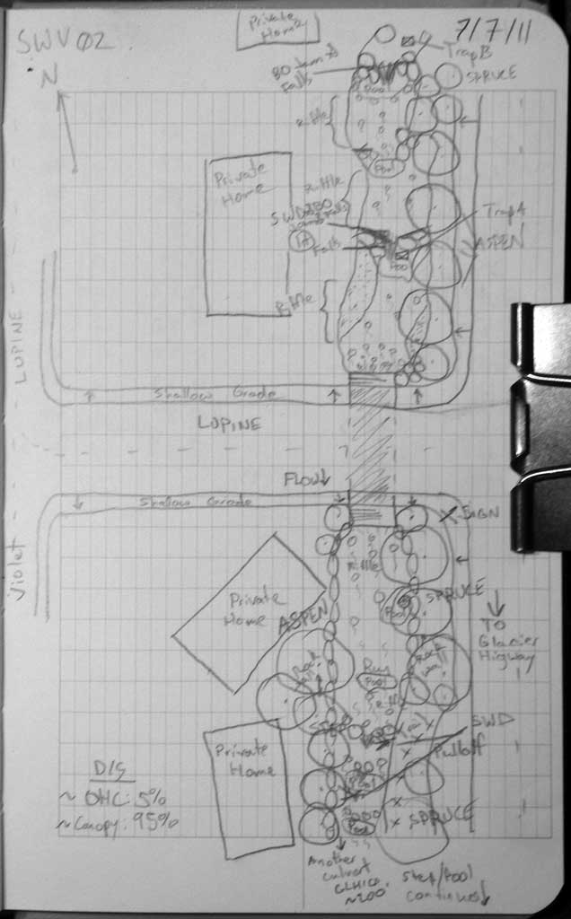
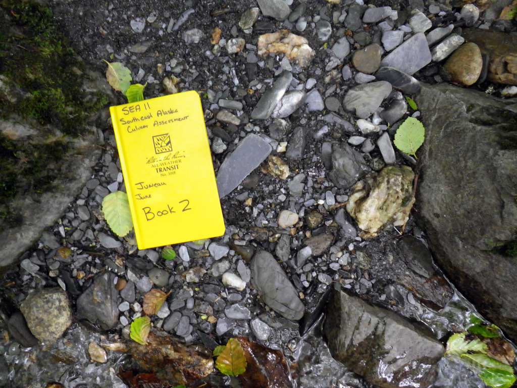
Survey SEA11-SWV02
Project Supervisor: Gillian O'Doherty, Alaska Department of Fish and Game
— Anchorage, AK
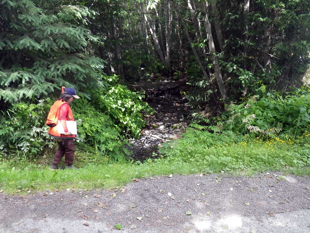
Observers: Jason Olds, Charmagne Gutierrez, Gillian O'Doherty
Overall Fish Passage Rating:
Tidal: No
Backwatered: No
Step Pools: No
Construction Year:
Site Observations:
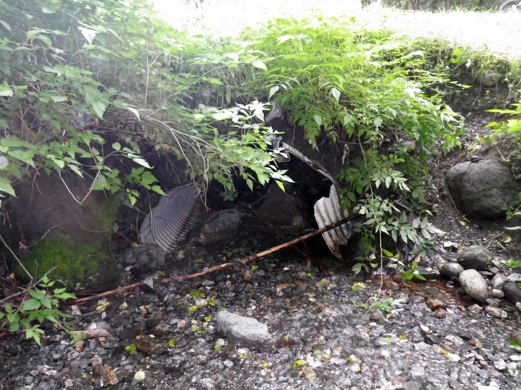
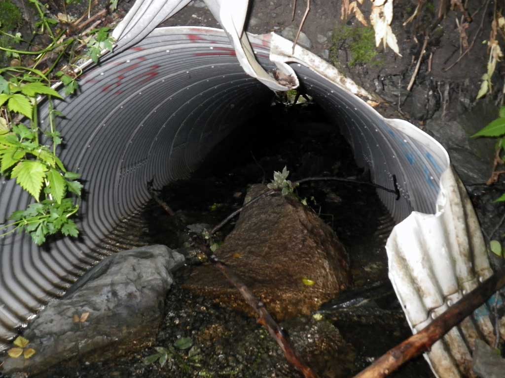
- Culvert gradient red
- Structural Problem
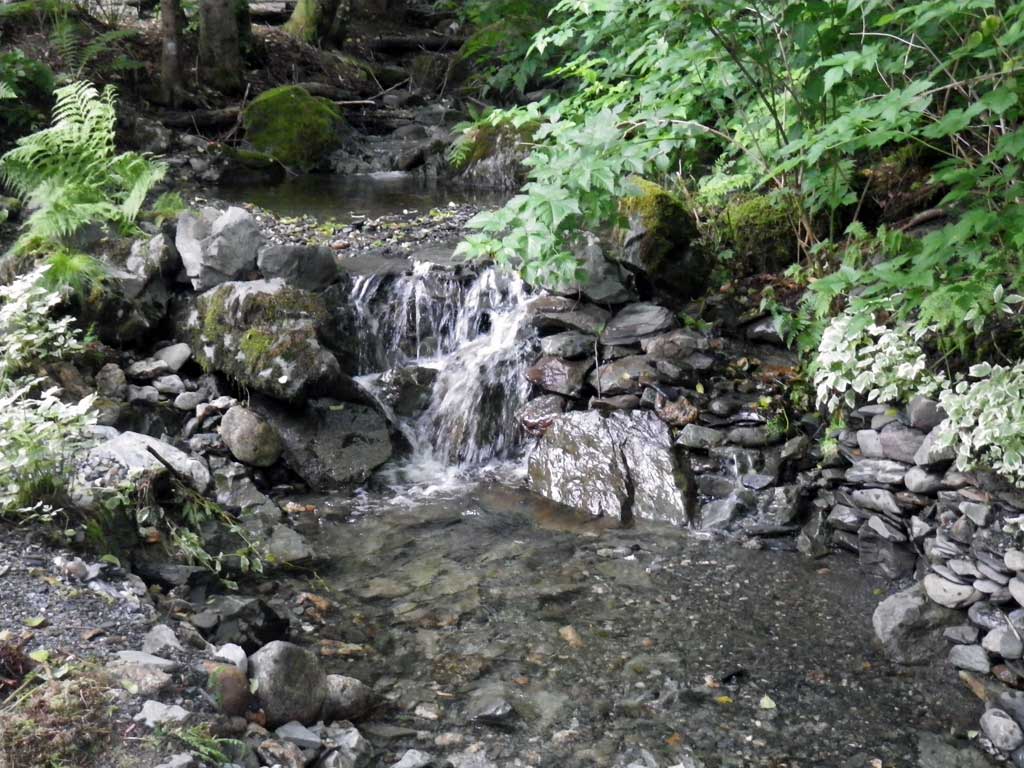
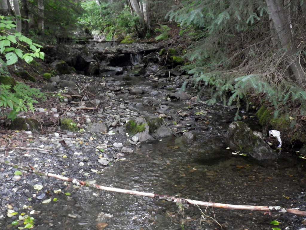
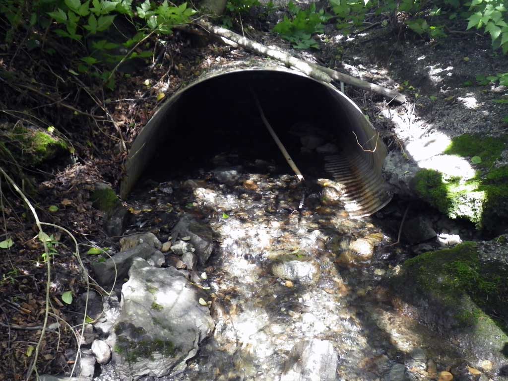
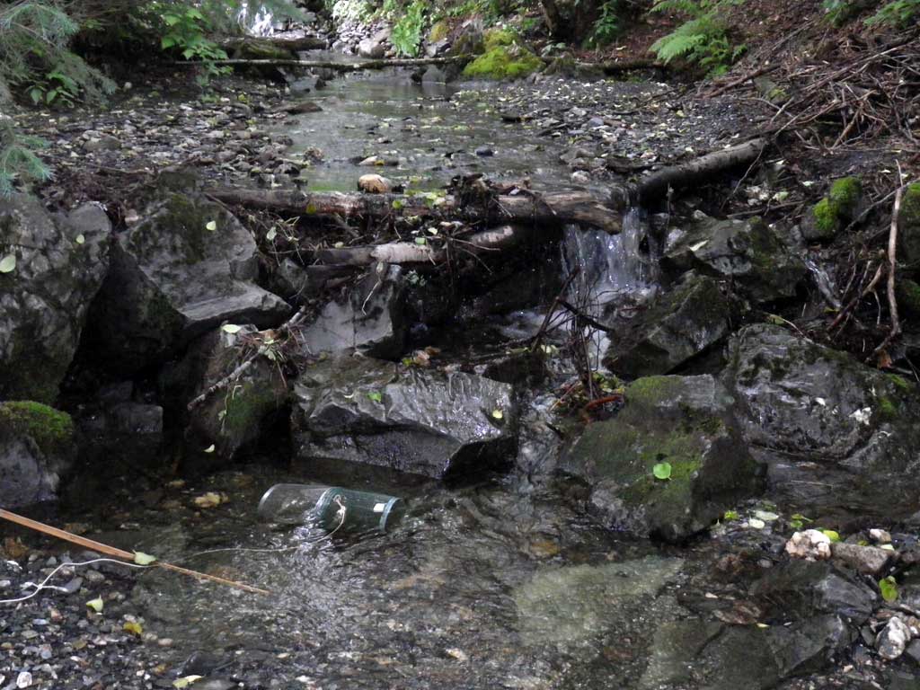
Comments: Observered unidentified salmonids near trap upstream from culvert. Did not take stream widths because stream was channelized.
Culvert Measurements
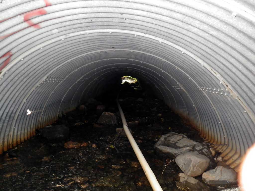
| ID: 1 | Structure Type: Pipe-arch (Corrugated aluminum) | Fish Passage Rating: | |||||||||||||||||||||||||||||||||||||||||
|
|
|
|||||||||||||||||||||||||||||||||||||||||
Comments: Visual observation salmonids upstream. Top of inlet crushed from snow removal. No stream grade OR stream widths: Channelized. |
|||||||||||||||||||||||||||||||||||||||||||
Culvert Observations:
|
|||||||||||||||||||||||||||||||||||||||||||
Stream Measurements
|
|
No stream width data available.
Elevations
| Locator ID | Culvert Number |
River Distance (ft)1 |
Distance From Crossing (ft)2 |
Relative Elevation (ft) |
|---|---|---|---|---|
| Road Elev | 99.71 | |||
| D/S Grade Ctrl (Thalweg) | 0.00 | 90.72 | ||
| D/S Water Surface Elev | 0.00 | 91.06 | ||
| D/S Water Surface Elev (tailwater surface) | 14.00 | 91.58 | ||
| D/S Water Surface Elev | 15.00 | 91.59 | ||
| Outlet Invert (on substrate) | 15.00 | 91.42 | ||
| U/S Water Surface Elev | 76.00 | 93.63 | ||
| Inlet Culvert Invert (on substrate) | 76.00 | 93.13 | ||
| U/S Headwater | 76.50 | 93.60 | ||
| U/S Grade Ctrl (Thalweg) | 88.00 | 94.06 | ||
| U/S Water Surface Elev (1st resting pool) | 88.00 | 94.25 |
Notes:
- River distance is measured continuously throughout the survey reach along the thalweg of the stream.
- Measured from each end of the crossing along the thalweg of the stream.
Fish Sampling Efforts
| Gear Type: Minnow Trap (A) | Trap Duration(h): 2.0 | |
| Comments: Trap set about 75 feet upstream from culvert below a waterfall. | ||
| Gear Type: Minnow Trap (B) | Trap Duration(h): 2.0 | |
| Comments: Trap set about 200 feet upstream from culvert above waterfall. | ||
| Gear Type: Visual Observation, Ground (C) | ||
| Comments: 2 Dolly Varden seen about 20 feet upstream from culvert and estimate around 5 seen upstream above waterfall. | ||
Fish Observations
| Species: sculpin-unspecified | Life History: Resident | ||
| Total Fish Observed: 1 | Fish Measured: 1 | Fork Lengths (mm) Min: 70 Max: 70 Mean: 70 | |
| Collected/Observed by Gear Type: Upstream Minnow Trap (1) | |||
| Species: Dolly Varden | Life History: Unknown | ||
| Total Fish Observed: 10 | Fish Measured: 3 | Fork Lengths (mm) Min: 0 Max: 850 Mean: 320 | |
| Collected/Observed by Gear Type: Upstream Visual Observation, Ground (8) Upstream Minnow Trap (1) Upstream Minnow Trap (1) | |||
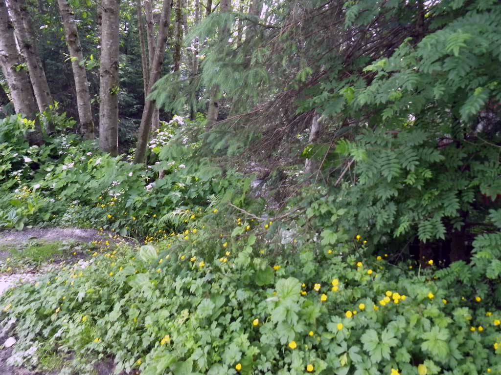
Photos
Questions or comments about this report can be directed to dfg.dsf.webmaster@alaska.gov