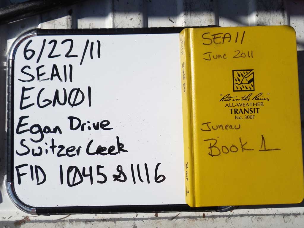
Fish Passage Site 10302160
Coordinates (dec. deg.): 58.35649°, -134.51527°
Legal Description: C040S066E33
Region: Southeast
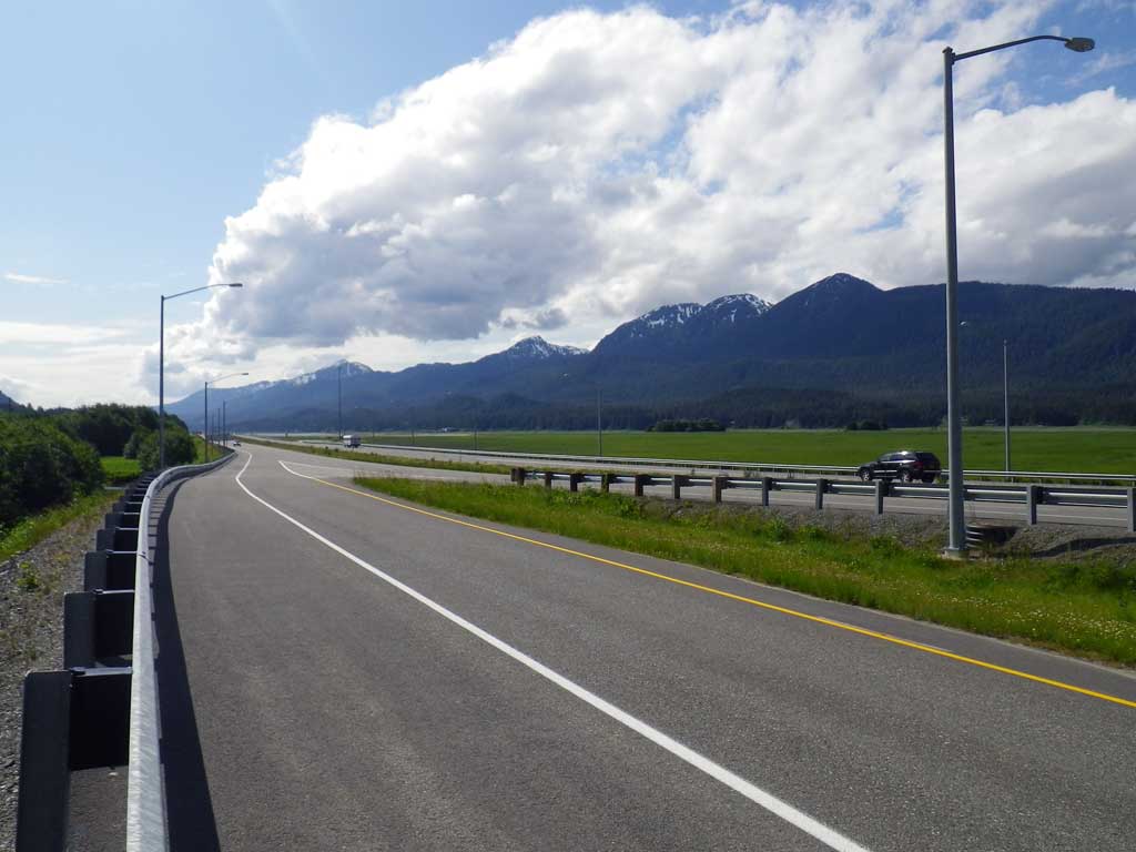
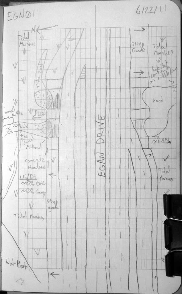
Road Name: Egan Drive
Datum: NAD83
Quad Name / ITM: Juneau B-2
AWC Stream #:
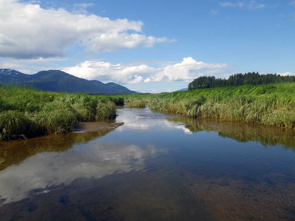
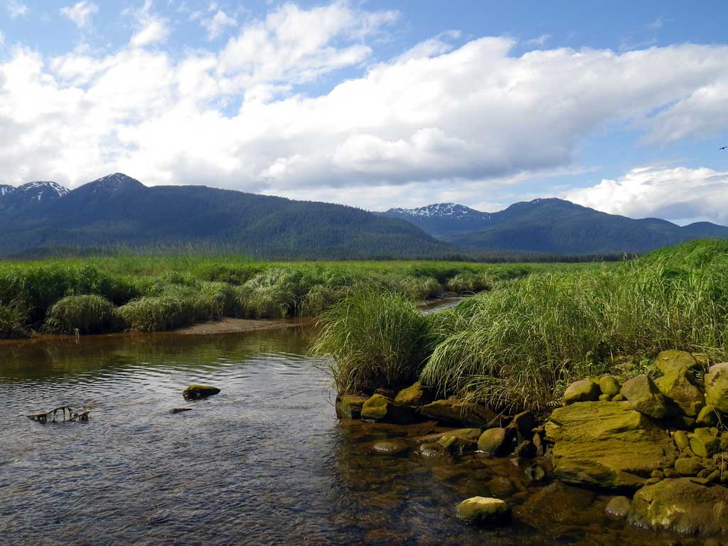
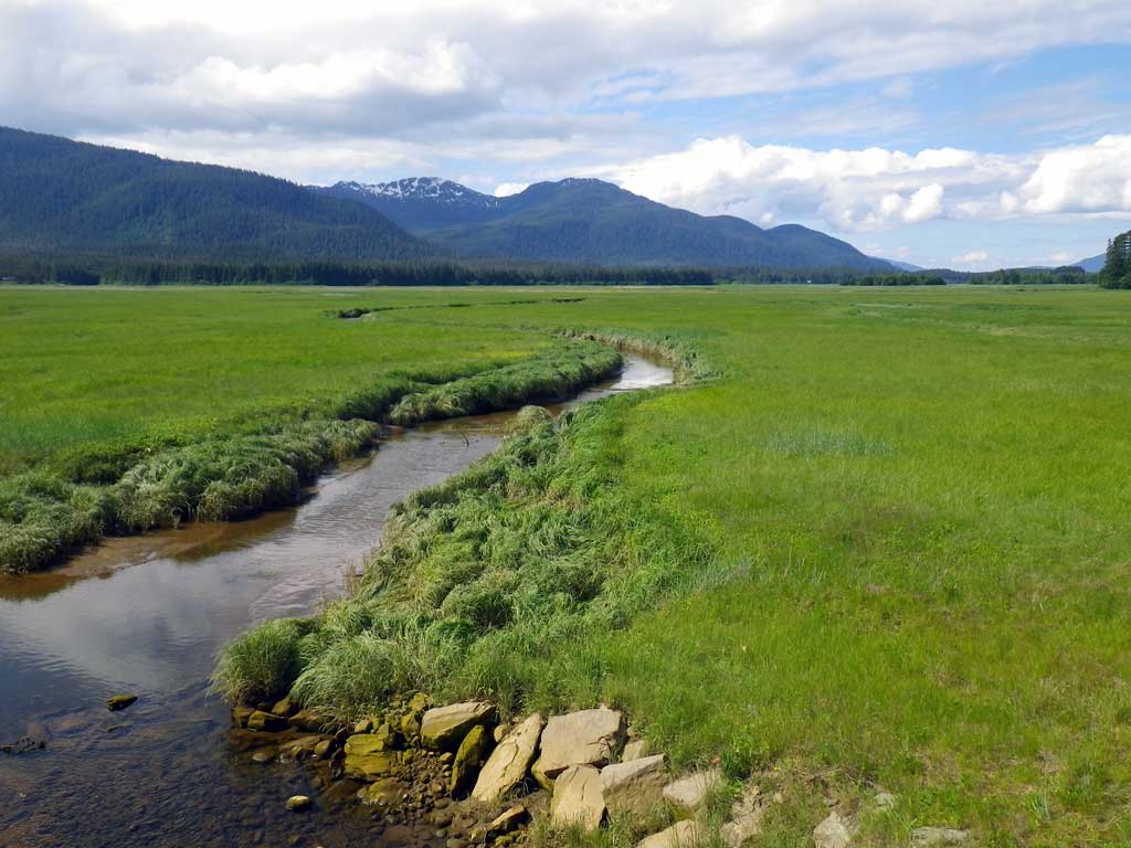
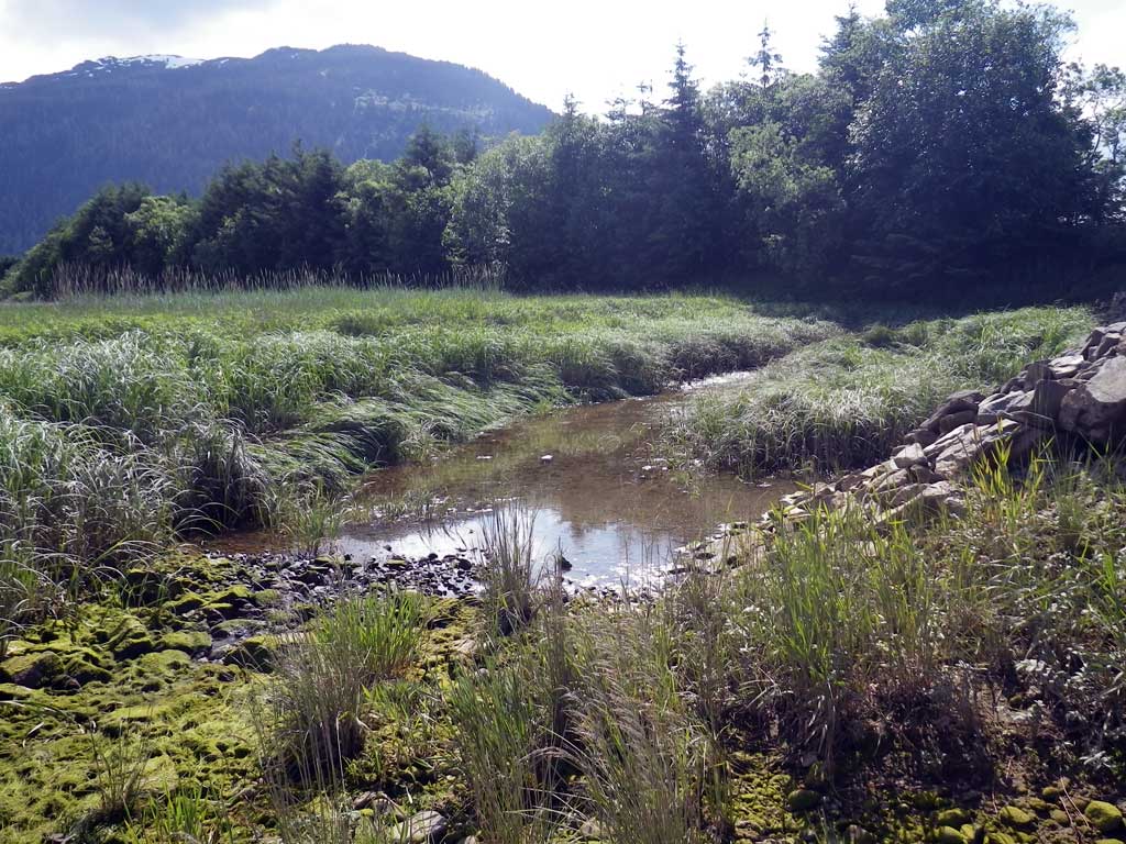
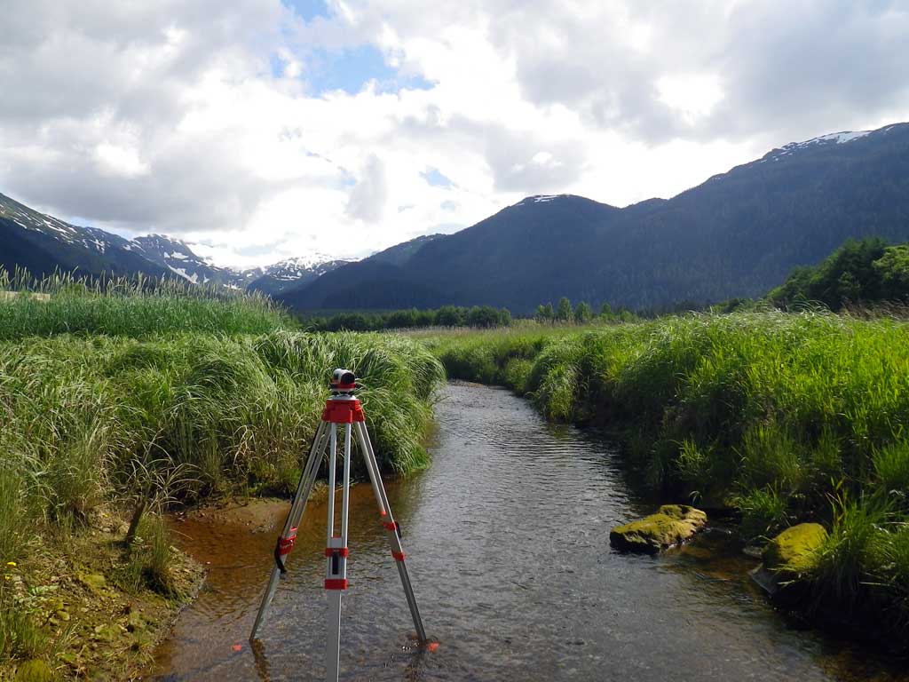
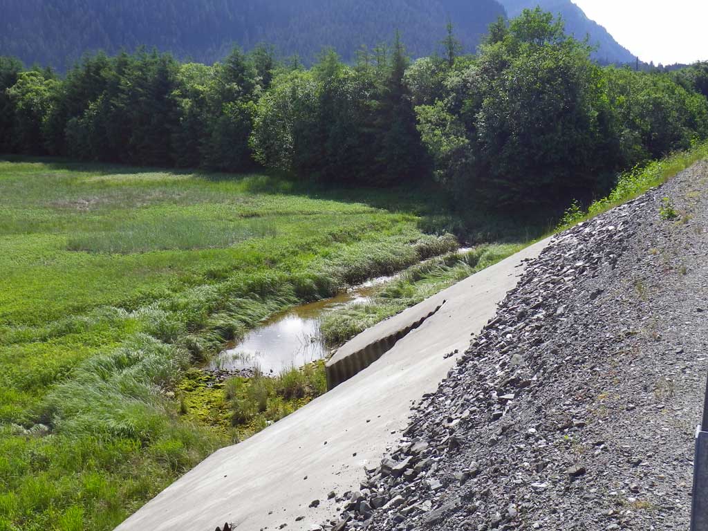
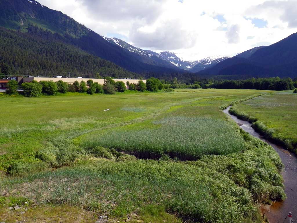
Stream Name: Switzer Creek
Elevation:
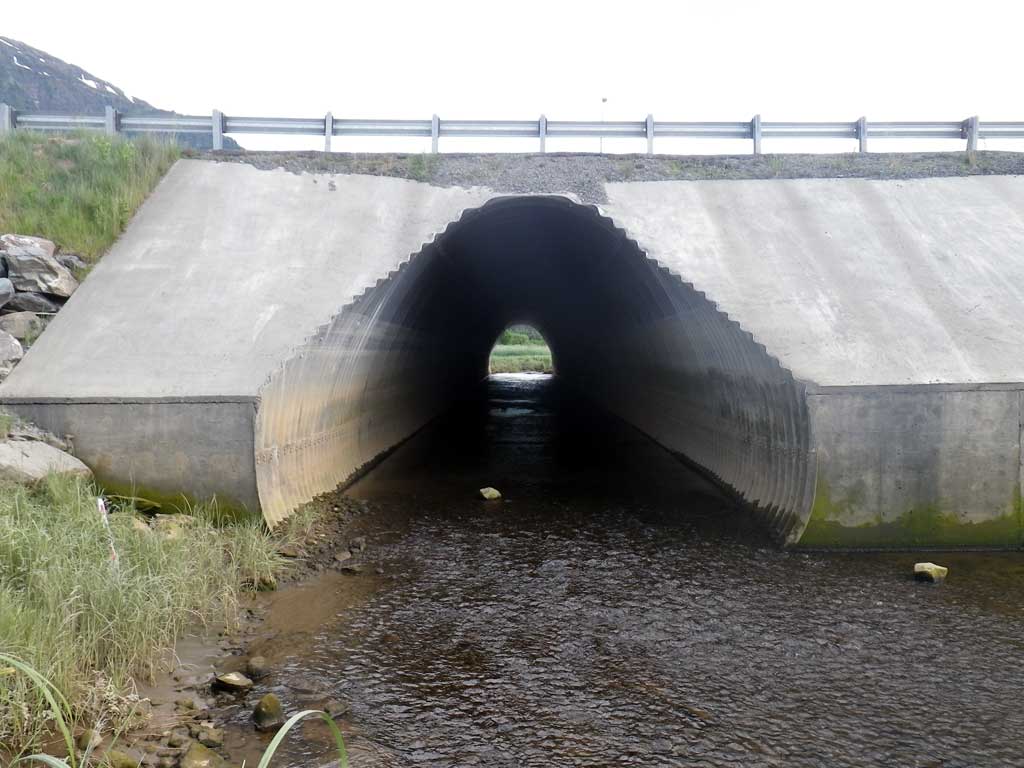
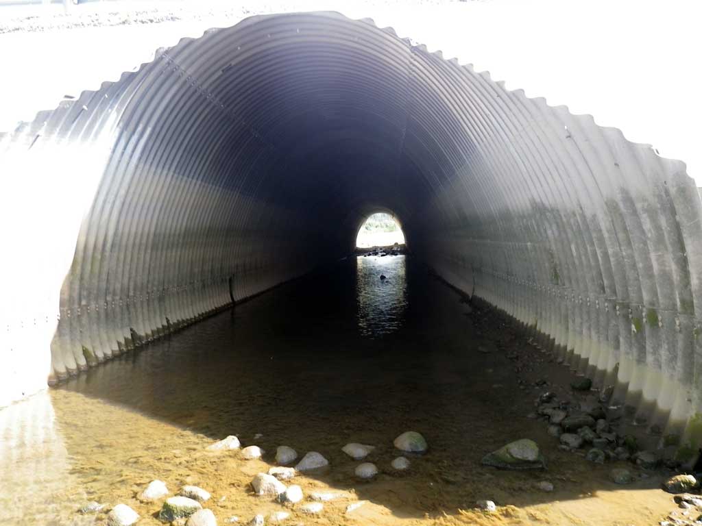
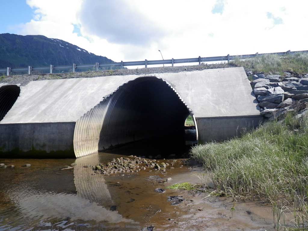
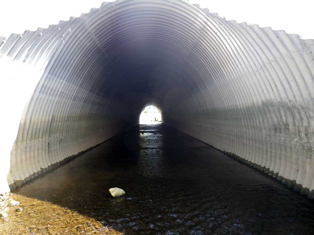
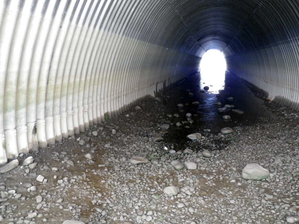
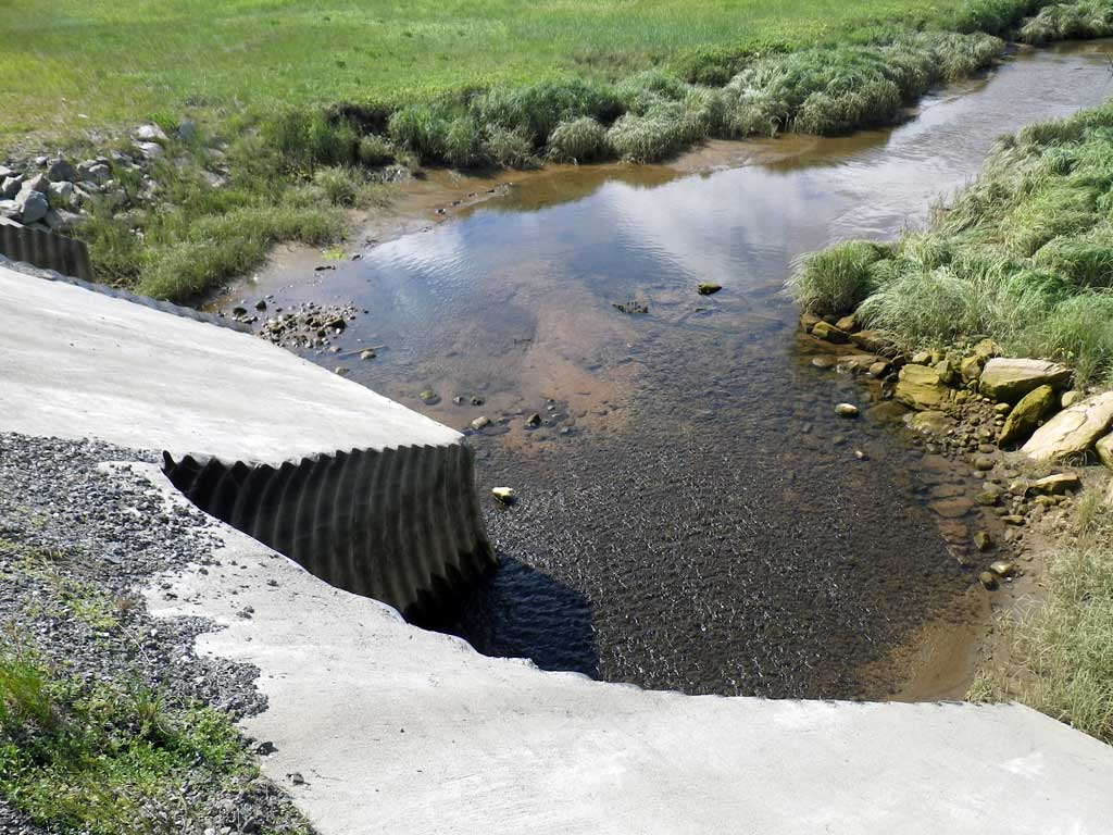
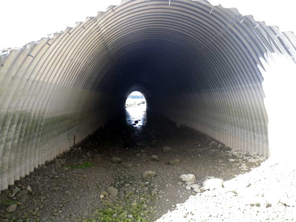
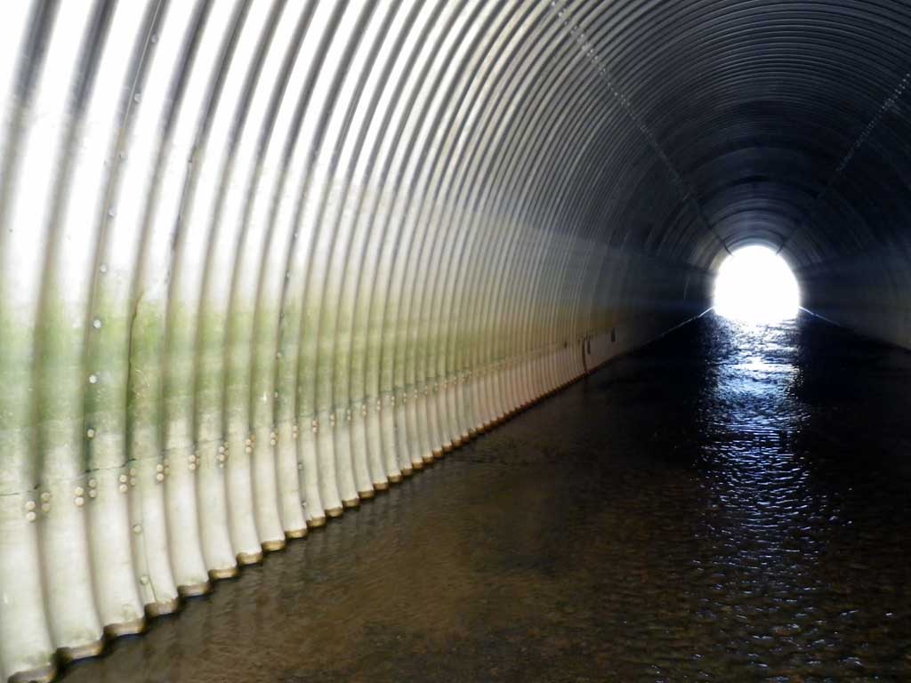
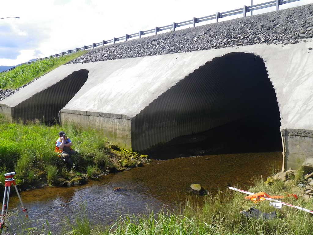
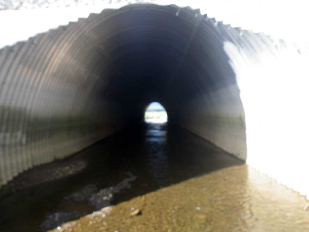
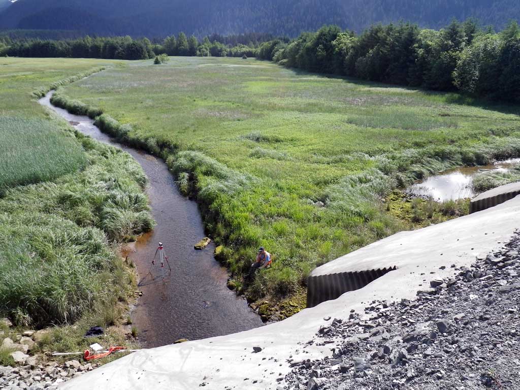
Site Comments: No traps were set as stream is already in the AWC. Mitered headwall. Large pipe arches. Rustline indeterminate on both pipes. Both pipes influenced by tidal flux. Numerous smolt and salmonid fry were observed upstream and downstream of culverts. Both culverts have substrate greater than one foot but less than the haunch height and support baffles along the bottom. May have been embedded as built with more substrate at one time, however current conditions do not meet the embedded criteria for pipe arches. Culvert 1 is set more as an overflow pipe, all flow is through culvert 2.
Survey SEA11-EGN01
Project Supervisor: Gillian O'Doherty, Alaska Department of Fish and Game
— Anchorage, AK
Observers: Mark Eisenman, Jason Olds
Overall Fish Passage Rating:
Tidal: Yes
Backwatered: No
Step Pools: No
Construction Year:
Site Observations:
- None of this type
Comments: None
Culvert Measurements
| ID: 1 | Structure Type: Pipe-arch (Structural steel plate) | Fish Passage Rating: | |||||||||||||||||||||||||||||||||||||||||
|
|
|
|||||||||||||||||||||||||||||||||||||||||
Comments: Culvert length is the total length with the inlet miter measuring 13.1' and the outlet miter measuring 12.8'. Pipe gradient was determined using the T.O.P. elevations with a pipe length of 204.88. |
|||||||||||||||||||||||||||||||||||||||||||
Culvert Observations:
|
|||||||||||||||||||||||||||||||||||||||||||
| ID: 2 | Structure Type: Pipe-arch (Structural steel plate) | Fish Passage Rating: | |||||||||||||||||||||||||||||||||||||||||
|
|
|
|||||||||||||||||||||||||||||||||||||||||
Comments: Culvert length is the total length with the inlet miter measuring 14.8' and the outlet miter measuring 15.3'. Pipe gradient was determined using the T.O.P. elevations with a culvert length of 200.66. |
|||||||||||||||||||||||||||||||||||||||||||
Culvert Observations:
|
|||||||||||||||||||||||||||||||||||||||||||
Stream Measurements
|
|
| Stream Width Type | Distance From Crossing (ft) |
Stream Width (ft) |
|---|---|---|
| Upstream ordinary high water | 53.0 | 11.80 |
| Upstream ordinary high water | 103.0 | 13.00 |
| Upstream ordinary high water | 188.0 | 11.50 |
Elevations
| Locator ID | Culvert Number |
River Distance (ft)1 |
Distance From Crossing (ft)2 |
Relative Elevation (ft) |
|---|---|---|---|---|
| Road Elev | 117.15 | |||
| D/S Grade Ctrl (Thalweg) | 0.00 | 97.47 | ||
| D/S Water Surface Elev | 0.00 | 97.91 | ||
| D/S Water Surface Elev | 90.00 | 97.96 | ||
| D/S Tailcrest or 1st Thalweg | 90.00 | 97.21 | ||
| Outlet Pool Water Elev | 108.00 | 97.95 | ||
| Max Pool Depth | 108.00 | 95.66 | ||
| Outlet Thalweg (Invert out, culvert 1, on substrate, end of miter) | 1 | 148.00 | 97.20 | |
| D/S Water Surface Elev (Invert out, culvert 1, end of miter) | 1 | 148.00 | 97.97 | |
| Outlet Thalweg (Invert out, culvert 2, on substrate, end of miter) | 2 | 148.00 | 98.01 | |
| D/S Water Surface Elev (Invert out, culvert 2, end of miter) | 2 | 148.00 | 98.15 | |
| Outlet Culvert Top (Invert out, culvert 1, on metal, top of miter) | 1 | 160.20 | 112.70 | |
| Outlet Culvert Top (Invert out, culvert 2, on metal, top of miter) | 2 | 163.30 | 113.44 | |
| Inlet Culvert Top (Invert in, culvert 2, on metal, top of miter) | 2 | 364.00 | 114.15 | |
| Inlet Culvert Top (Invert in, culvert 1, on metal, top of miter) | 1 | 365.70 | 113.35 | |
| Inlet Thalweg (Invert in, culvert 2, on substrate, end of miter) | 2 | 378.80 | 99.04 | |
| U/S Headwater (Invert in, culvert 2, end of miter, 1st resting) | 2 | 378.80 | 99.60 | |
| Inlet Thalweg (Invert in, culvert 1, end of miter, dry) | 1 | 378.80 | 100.39 | |
| U/S Water Surface Elev | 430.80 | 99.64 | ||
| U/S Grade Ctrl (Thalweg) | 430.80 | 99.04 | ||
| U/S Grade Ctrl (Thalweg) | 483.80 | 99.71 | ||
| U/S Water Surface Elev | 483.80 | 100.10 | ||
| U/S Water Surface Elev | 523.80 | 100.28 | ||
| U/S Grade Ctrl (Thalweg) | 523.80 | 99.97 | ||
| U/S Grade Ctrl (Thalweg) | 642.80 | 100.35 | ||
| U/S Water Surface Elev | 642.80 | 100.82 |
Notes:
- River distance is measured continuously throughout the survey reach along the thalweg of the stream.
- Measured from each end of the crossing along the thalweg of the stream.
Fish Sampling Efforts
| Gear Type: Visual Observation, Ground (A) | ||
| Comments: Visual observation of unknown juvenile salmonids upstream and downstream from culverts. | ||
| Gear Type: Visual Observation, Ground (B) | Trap Duration(h): 30.0 | |
| Channel Type: Main Channel (>50% of water flow) | ||
| Comments: Visual observations | ||
Fish Observations
| Species: juvenile salmonid-unspecified | Life History: Unknown | ||
| Total Fish Observed: 1 | Fish Measured: 1 | Fork Lengths (mm) Min: 5 Max: 5 Mean: 5 | |
| Collected/Observed by Gear Type: Upstream Visual Observation, Ground (1) | |||
| Species: smolt salmonid-unspecified | Life History: Unknown | ||
| Total Fish Observed: 1 | Fish Measured: 1 | Fork Lengths (mm) Min: 10 Max: 10 Mean: 10 | |
| Collected/Observed by Gear Type: Downstream Visual Observation, Ground (1) | |||
Photos
Questions or comments about this report can be directed to dfg.dsf.webmaster@alaska.gov