Fish Passage Site 10302159
Coordinates (dec. deg.): 58.35938°, -134.50888°
Legal Description: C040S066E34
Region: Southeast
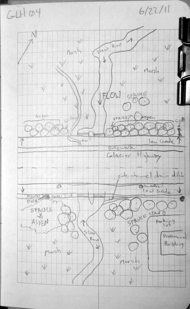
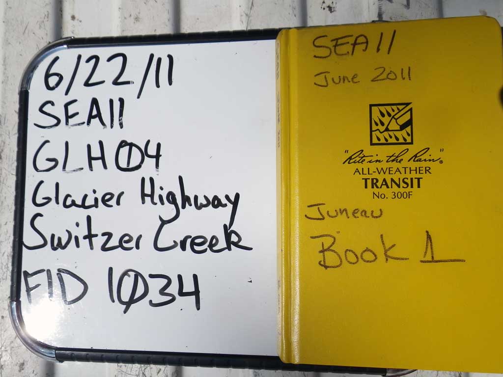
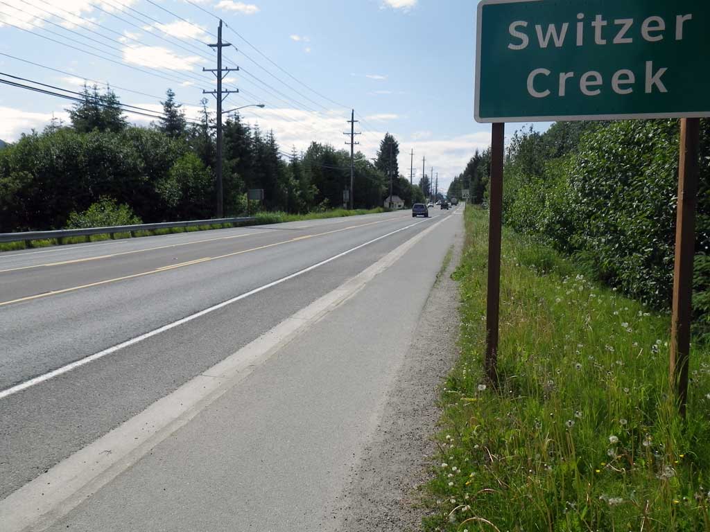
Road Name: Glacier Highway
Datum: NAD83
Quad Name / ITM: Juneau B-2
AWC Stream #:
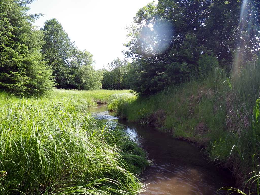
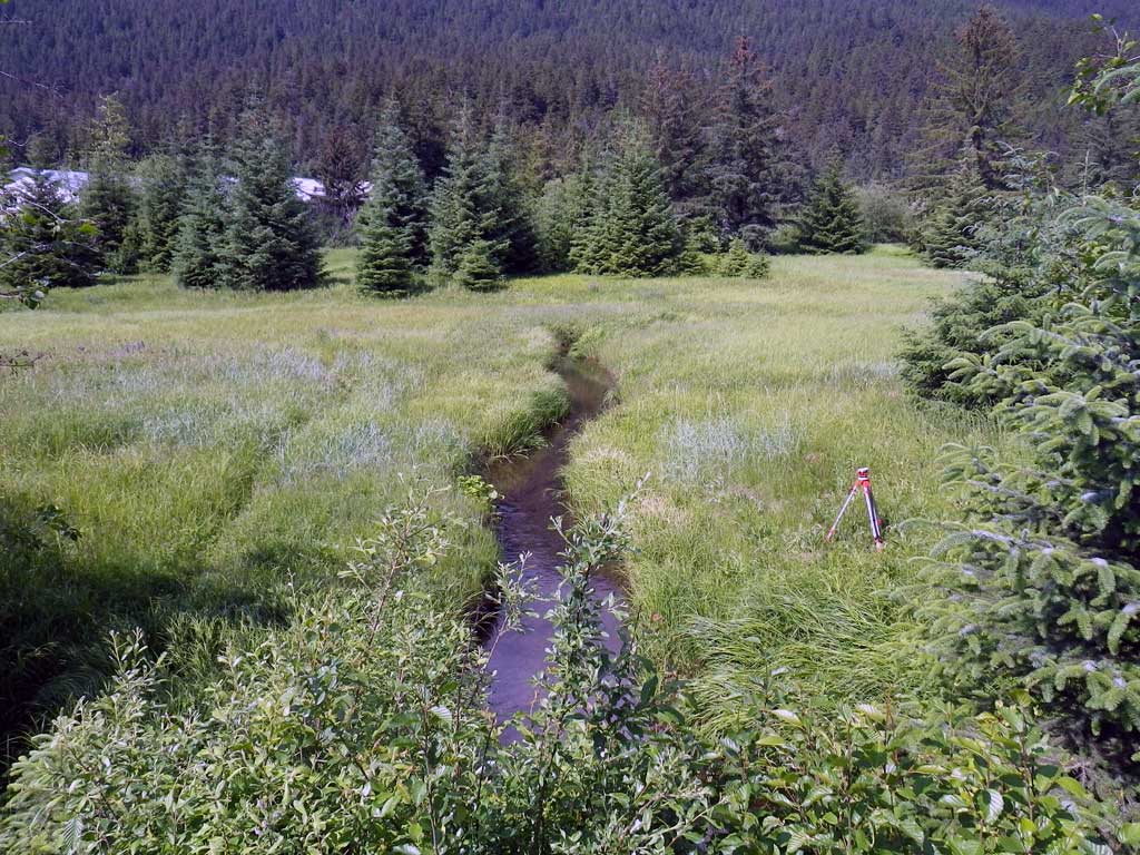
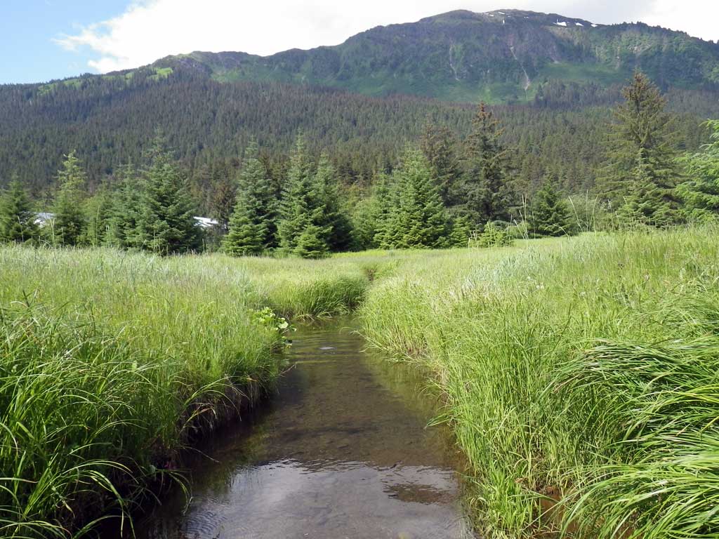
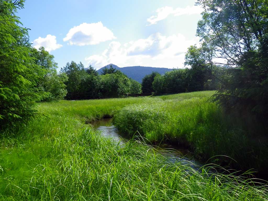
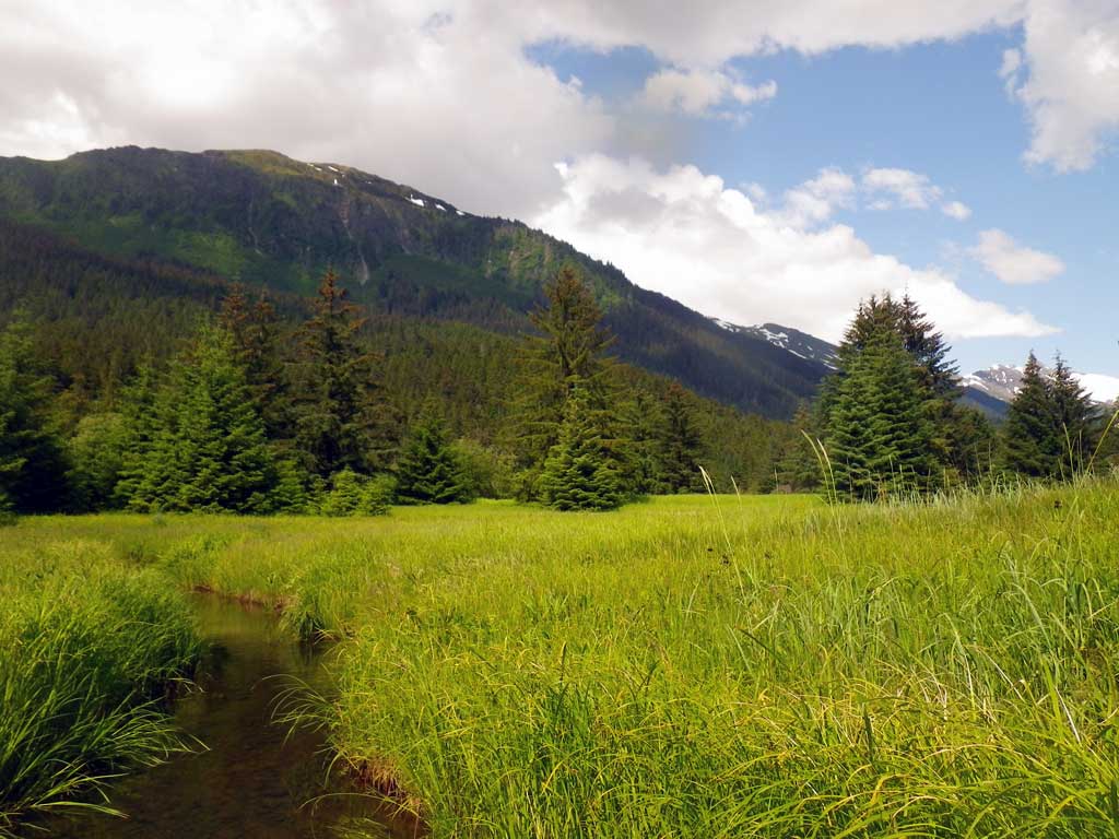
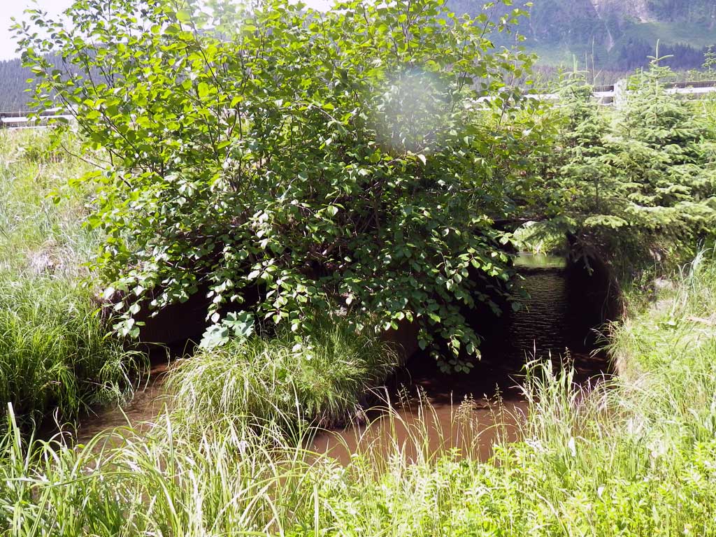
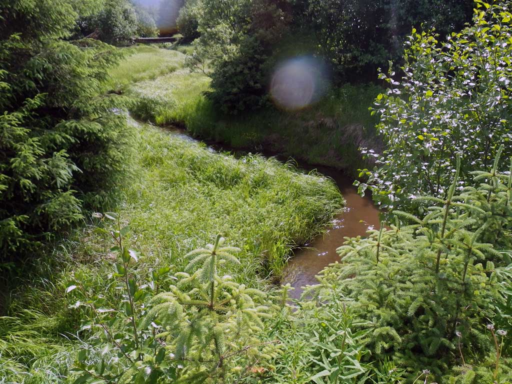
Stream Name: Switzer Creek
Elevation:
Site Comments: No traps were set as stream is already in the AWC.
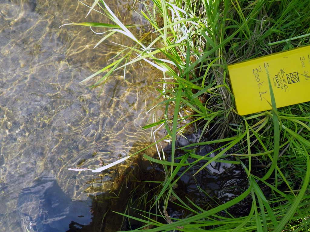
Survey SEA11-GLH04
Project Supervisor: Gillian O'Doherty, Alaska Department of Fish and Game
— Anchorage, AK
Observers: Mark Eisenman, Jason Olds
Overall Fish Passage Rating:
Tidal: Yes
Backwatered: No
Step Pools: No
Construction Year:
Site Observations:
- None of this type
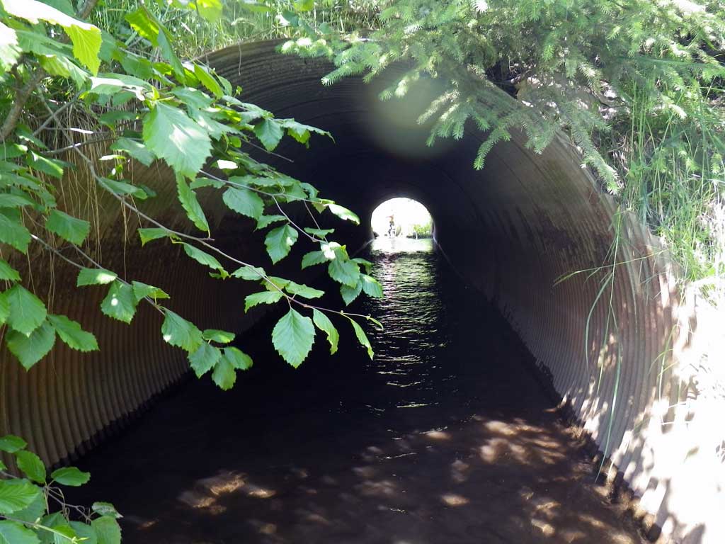
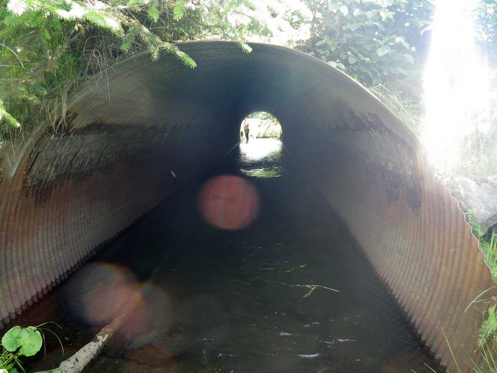
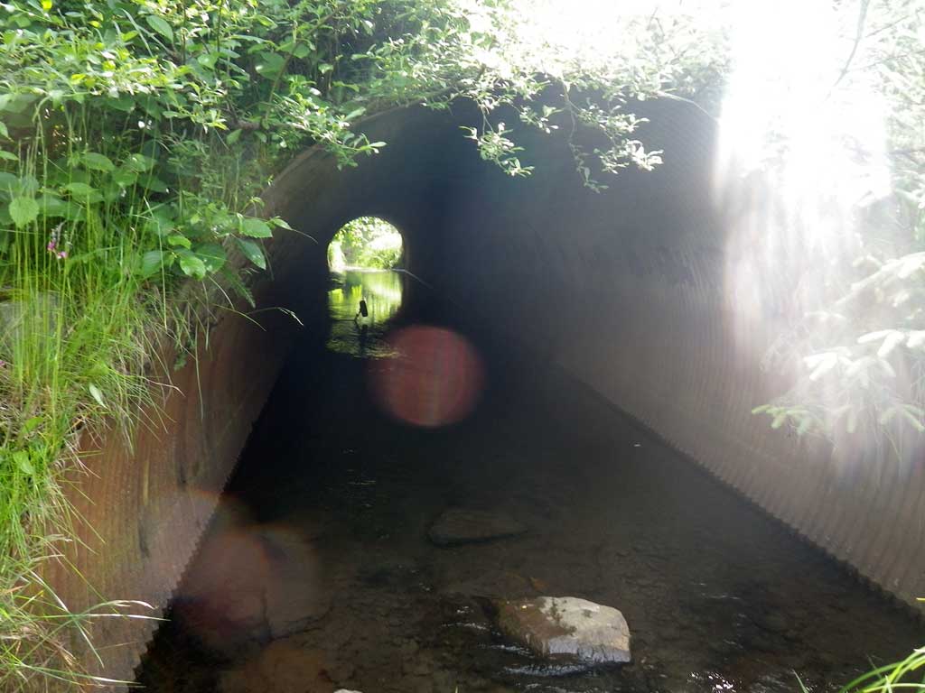
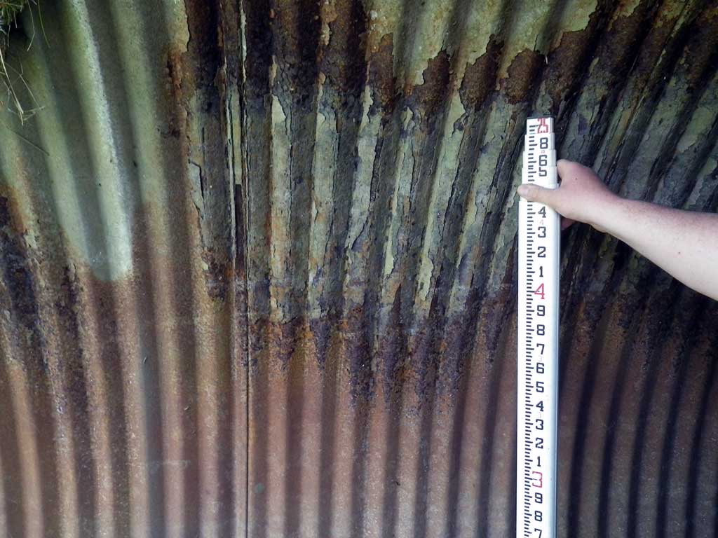
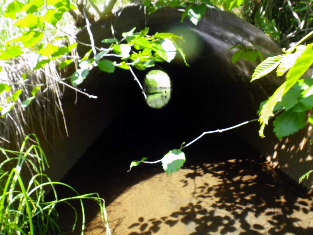
Comments: Top of miter distances from zero point were as follows: culvert 1 at 78.35 feet and culvert 2 at 79.3 feet. Pipe may be tidally influenced at extremely high tides. Some garbage debris in creek. Potential for backwater in culvert 1 but water is flowing through. Coho fry were observed upstream, downstream and inside of pipe.
Culvert Measurements
| ID: 1 | Structure Type: Circular pipe (Corrugated steel) | Fish Passage Rating: | ||||||||||||||||||||||||||||||||||||||||||
|
|
|
||||||||||||||||||||||||||||||||||||||||||
Culvert Observations:
|
||||||||||||||||||||||||||||||||||||||||||||
| ID: 2 | Structure Type: Circular pipe (Corrugated steel) | Fish Passage Rating: | ||||||||||||||||||||||||||||||||||||||||||
|
|
|
||||||||||||||||||||||||||||||||||||||||||
Culvert Observations:
|
||||||||||||||||||||||||||||||||||||||||||||
Stream Measurements
|
|
| Stream Width Type | Distance From Crossing (ft) |
Stream Width (ft) |
|---|---|---|
| Upstream ordinary high water | 44.0 | 8.40 |
| Upstream ordinary high water | 91.0 | 8.20 |
| Upstream ordinary high water | 188.0 | 7.60 |
Elevations
| Locator ID | Culvert Number |
River Distance (ft)1 |
Distance From Crossing (ft)2 |
Relative Elevation (ft) |
|---|---|---|---|---|
| Road Elev | 99.55 | |||
| D/S Water Surface Elev | 0.00 | 87.20 | ||
| D/S Grade Ctrl (Thalweg) | 0.00 | 87.33 | ||
| D/S Water Surface Elev | 28.00 | 88.27 | ||
| D/S Tailcrest or 1st Thalweg | 28.00 | 87.70 | ||
| Outlet Pool Water Elev | 39.00 | 88.27 | ||
| Max Pool Depth | 39.00 | 86.88 | ||
| Outlet Invert (Invert out, culvert 1, on substrate, end of miter) | 1 | 70.00 | 87.26 | |
| D/S Water Surface Elev (Invert out, culvert 1, end of miter) | 1 | 70.00 | 88.28 | |
| D/S Water Surface Elev (Invert out, culvert 2, end of miter) | 2 | 70.00 | 88.31 | |
| Outlet Invert (Invert out, culvert 2, on substrate, end of miter) | 2 | 70.00 | 87.68 | |
| Outlet Culvert Top (Invert out, culvert 2, on metal, top of miter) | 2 | 77.20 | 94.33 | |
| Outlet Culvert Top (Invert out, culvert 1, on metal, top of miter) | 1 | 78.00 | 94.48 | |
| Inlet Culvert Top (Invert in, culvert 2, on metal, top of miter) | 2 | 142.10 | 94.49 | |
| Inlet Culvert Top (Invert in, culvert 1, on metal, top of miter) | 1 | 142.35 | 94.33 | |
| U/S Headwater (Invert in, culvert 1, end of miter) | 1 | 148.35 | 88.43 | |
| Inlet Culvert Invert (Invert in, culvert 1, on substrate, end of miter) | 1 | 148.35 | 87.65 | |
| U/S Headwater (Invert in, culvert 2, end of miter) | 2 | 149.30 | 88.43 | |
| Inlet Culvert Invert (Invert in, culvert 2, on substrate, end of miter) | 2 | 149.30 | 87.94 | |
| U/S Water Surface Elev | 210.00 | 88.50 | ||
| U/S Grade Ctrl (Thalweg) | 210.00 | 87.18 | ||
| U/S Grade Ctrl (Thalweg) | 280.00 | 86.51 | ||
| U/S Water Surface Elev | 280.00 | 88.50 | ||
| U/S Water Surface Elev | 316.00 | 88.58 | ||
| U/S Grade Ctrl (Thalweg) | 316.00 | 86.91 |
Notes:
- River distance is measured continuously throughout the survey reach along the thalweg of the stream.
- Measured from each end of the crossing along the thalweg of the stream.
Fish Sampling Efforts
| Gear Type: Visual Observation, Ground (A) | Trap Duration(h): 30.0 | |
| Channel Type: Main Channel (>50% of water flow) | ||
| Comments: Visual observation of juvenile coho upstream and downstream of culvert. | ||
| Gear Type: Visual Observation, Ground (B) | Trap Duration(h): 30.0 | |
| Channel Type: Main Channel (>50% of water flow) | ||
| Comments: Visual observation | ||
Fish Observations
| Species: juvenile coho salmon | Life History: Unknown | ||
| Total Fish Observed: 0 | Fish Measured: 0 | Fork Lengths (mm) Min: Max: Mean: | |
| Collected/Observed by Gear Type: Downstream Visual Observation, Ground (0) Upstream Visual Observation, Ground (0) | |||
Photos

Questions or comments about this report can be directed to dfg.dsf.webmaster@alaska.gov