Fish Passage Site 10302158
Coordinates (dec. deg.): 58.33170°, -134.49957°
Legal Description: C041S067E08
Region: Southeast
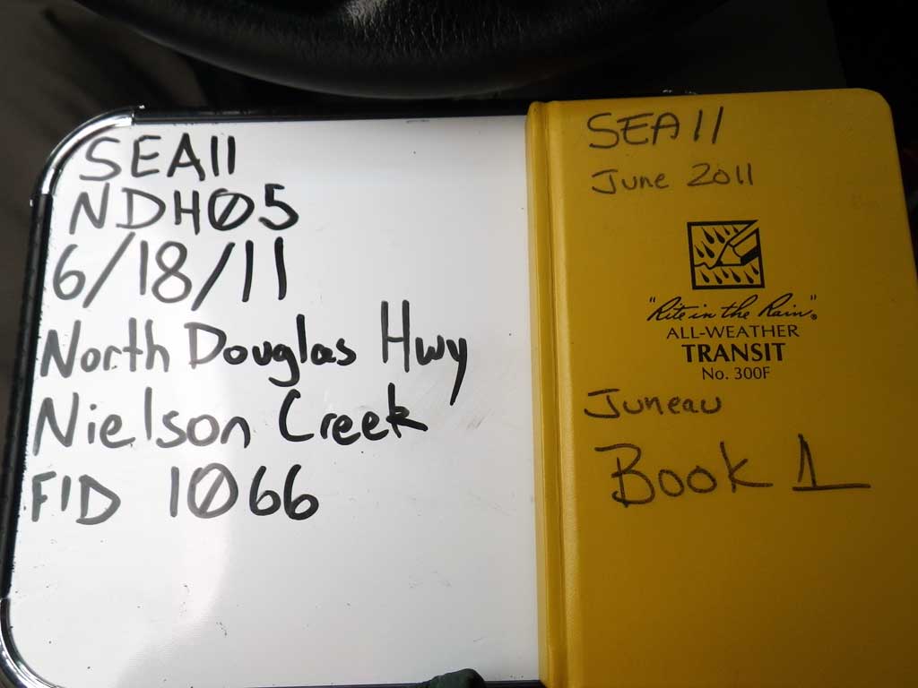
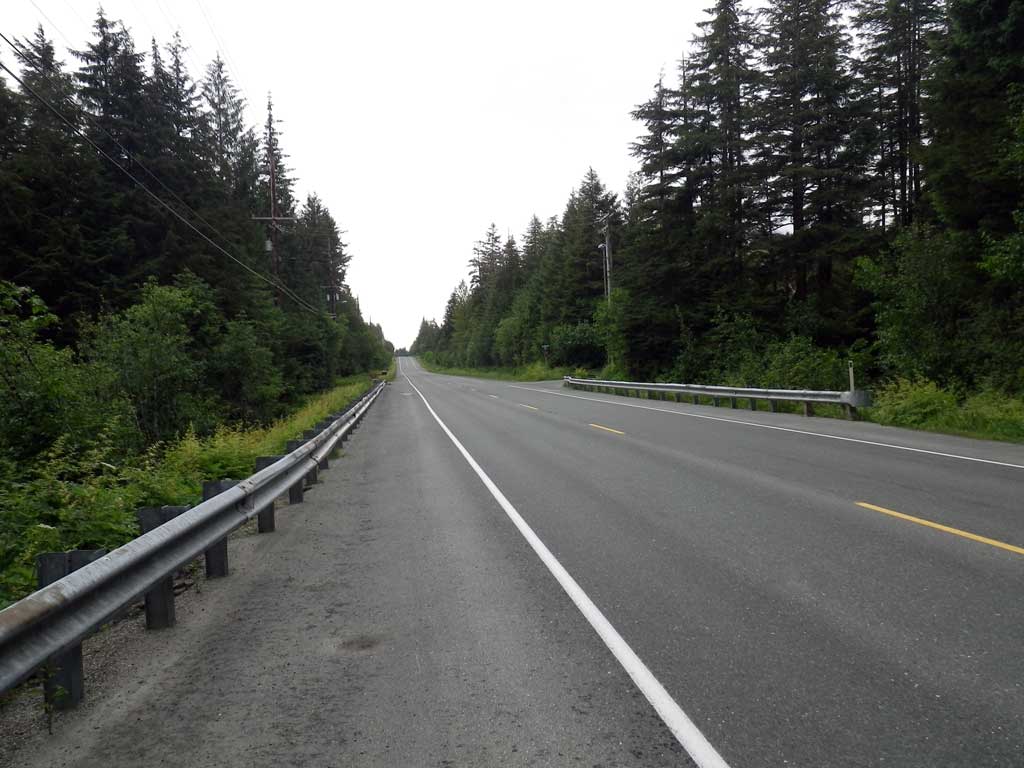
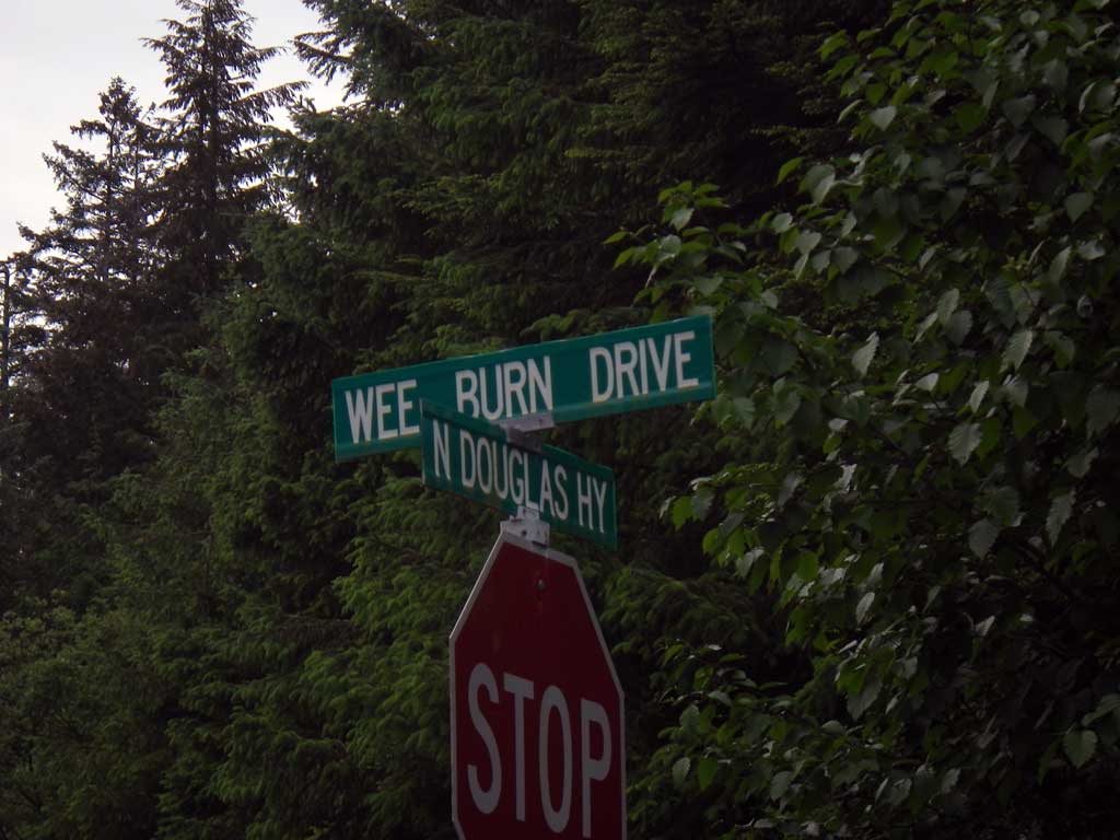
Road Name: North Douglas Highway
Datum: NAD83
Quad Name / ITM: Juneau B-2
AWC Stream #:
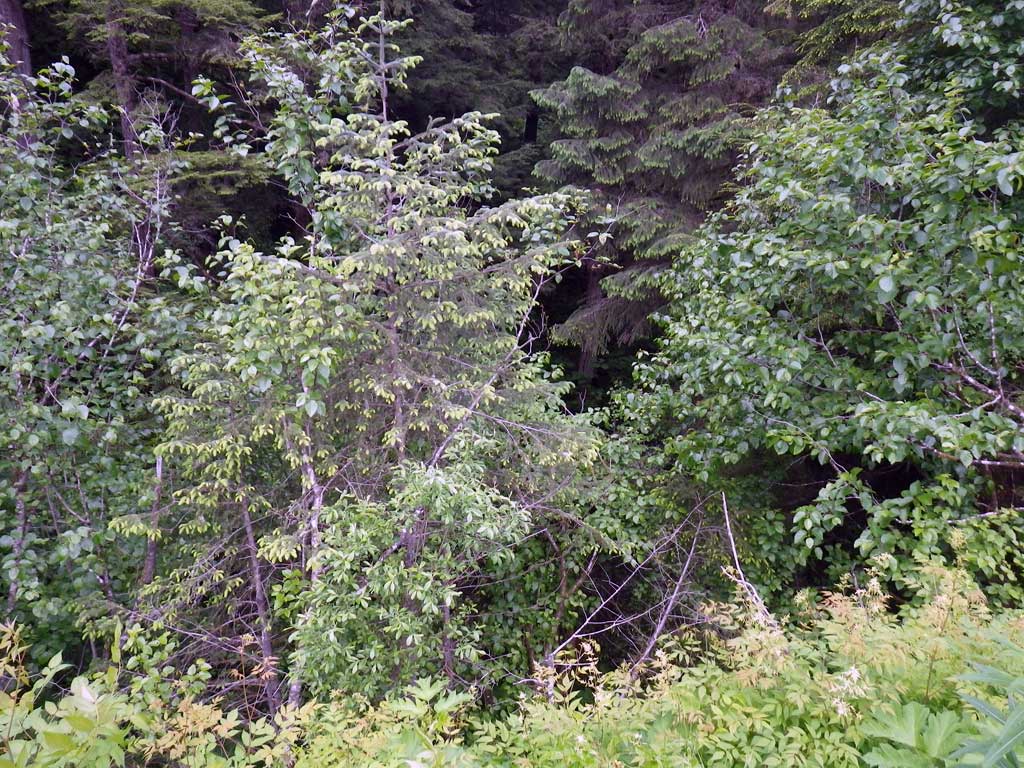
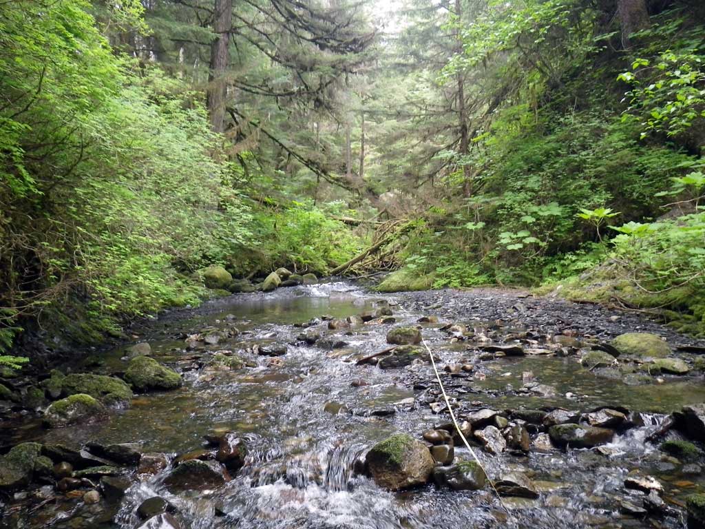
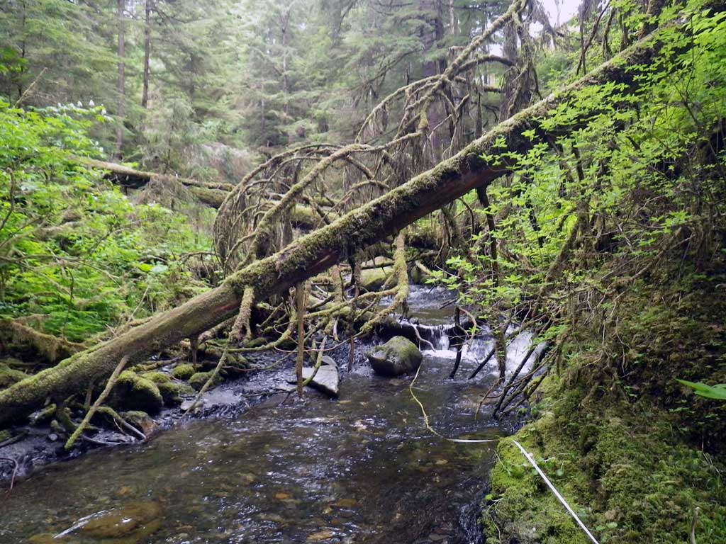
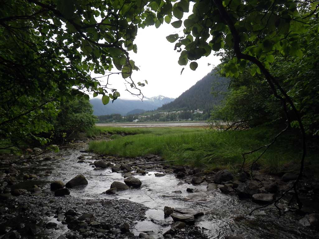
Stream Name: Neilson Creek
Elevation:
Site Comments: None
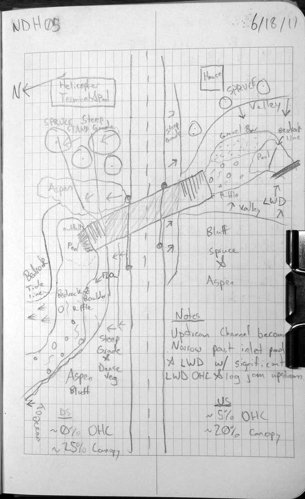
Survey SEA11-NDH05
Project Supervisor: Gillian O'Doherty, Alaska Department of Fish and Game
— Anchorage, AK
Observers: Mark Eisenman, Jason Olds
Overall Fish Passage Rating:
Tidal: Yes
Backwatered: No
Step Pools: No
Construction Year:
Site Observations:
- Culvert gradient gray
- Constriction ratio gray
- Outfall height red
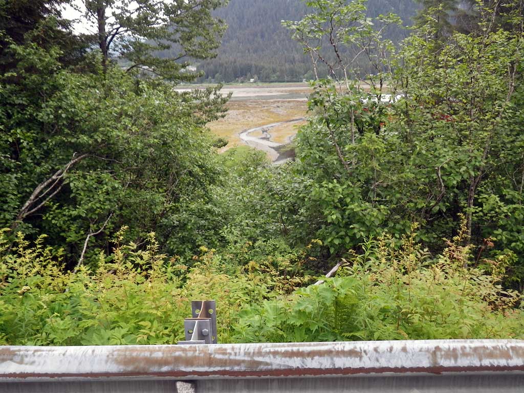
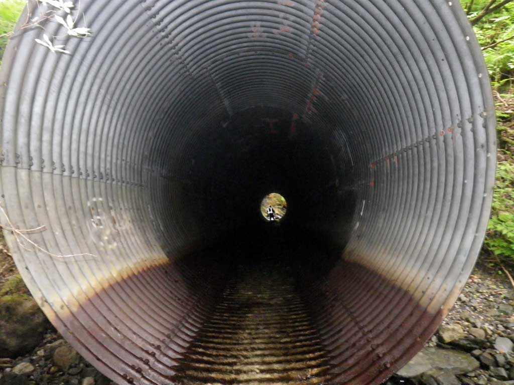
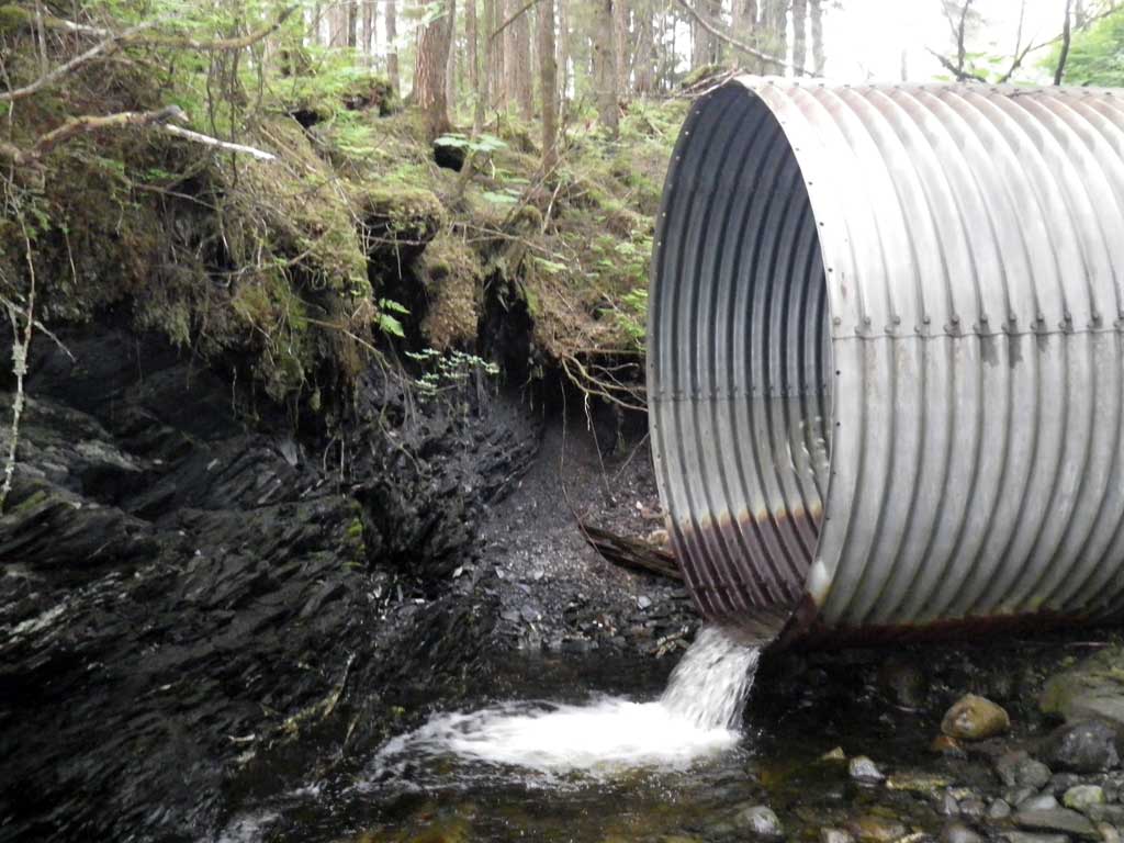
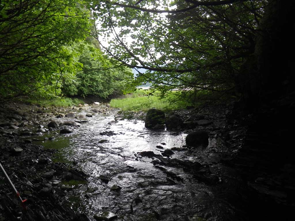
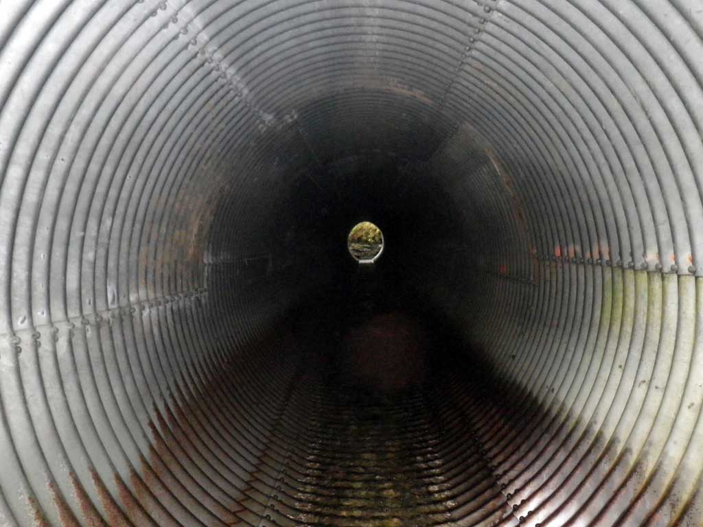
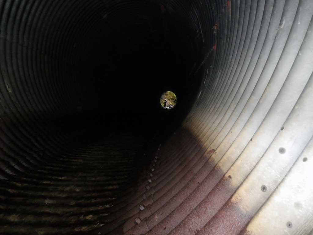
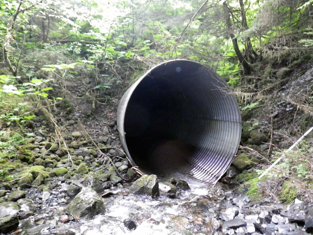
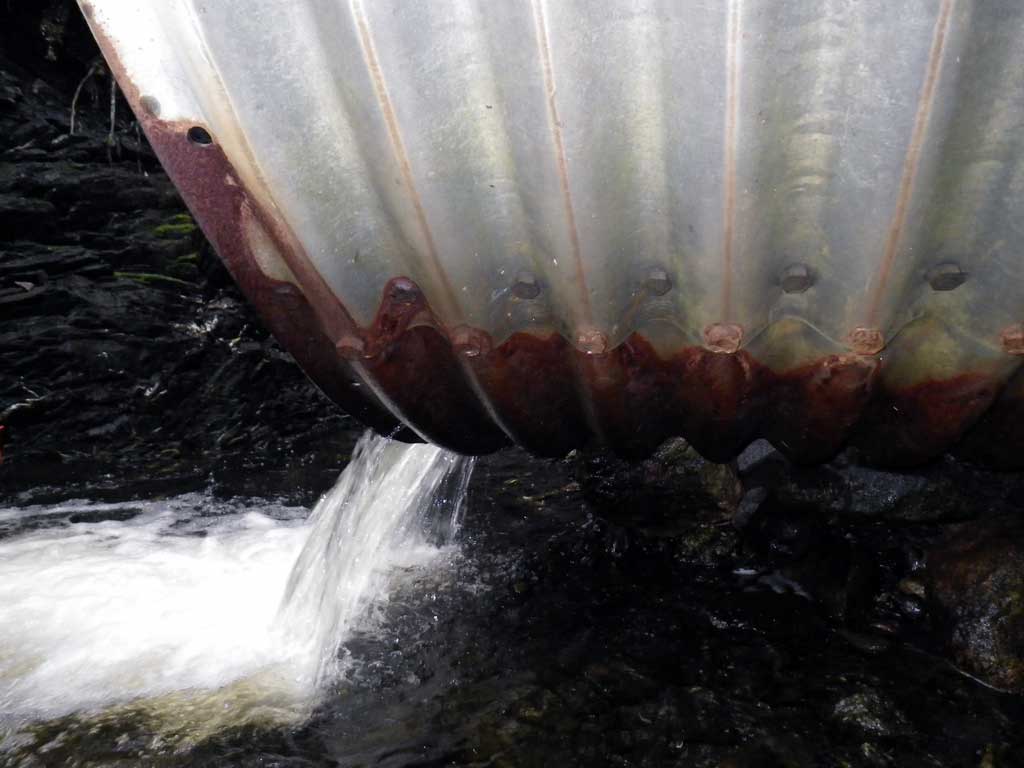
Comments: No traps were set as stream is already in AWC. This culvert appears to be tidally influenced by observations of its relative location to the Gastenau Channel as well as riparian vegetation and a rust line on the exterior of the pipe suggesting that at higher tide events, fish could easily enter the culvert. Next to Era Helicopter. Approximate 4 inch salmonid was observed upstream from the culvert.
Culvert Measurements
| ID: 1 | Structure Type: Circular pipe (Structural steel plate) | Fish Passage Rating: | |||||||||||||||||||||||||||||||||||||||||
|
|
|
|||||||||||||||||||||||||||||||||||||||||
Culvert Observations:
|
|||||||||||||||||||||||||||||||||||||||||||
Stream Measurements
|
|
| Stream Width Type | Distance From Crossing (ft) |
Stream Width (ft) |
|---|---|---|
| Upstream ordinary high water | 89.0 | 10.30 |
| Upstream ordinary high water | 114.0 | 13.20 |
| Upstream ordinary high water | 138.0 | 25.10 |
Elevations
| Locator ID | Culvert Number |
River Distance (ft)1 |
Distance From Crossing (ft)2 |
Relative Elevation (ft) |
|---|---|---|---|---|
| D/S Grade Ctrl (Thalweg) | 0.00 | 97.53 | ||
| D/S Water Surface Elev | 0.00 | 97.85 | ||
| D/S Tailcrest or 1st Thalweg | 23.00 | 98.25 | ||
| D/S Water Surface Elev (Tailwater control) | 23.00 | 98.38 | ||
| Outlet Pool Water Elev | 30.00 | 98.43 | ||
| Max Pool Depth | 30.00 | 96.45 | ||
| Outlet Invert (Invert out, on metal) | 32.00 | 99.90 | ||
| D/S Water Surface Elev (Invert out) | 32.00 | 100.13 | ||
| Inlet Culvert Invert (Invert in, on metal) | 195.00 | 102.82 | ||
| U/S Water Surface Elev (Invert in) | 195.00 | 103.33 | ||
| U/S Grade Ctrl (Thalweg) (1st resting, on substrate) | 197.00 | 103.50 | ||
| U/S Headwater (1st resting) | 197.00 | 103.76 |
Notes:
- River distance is measured continuously throughout the survey reach along the thalweg of the stream.
- Measured from each end of the crossing along the thalweg of the stream.
Fish Sampling Efforts
| Gear Type: Visual Observation, Ground (A) | ||
| Comments: Unidentified salmonids upstream from culvert. | ||
Fish Observations
No fish observations occurred during this survey.
Photos
Questions or comments about this report can be directed to dfg.dsf.webmaster@alaska.gov