Fish Passage Site 10302156
Coordinates (dec. deg.): 58.32307°, -134.48219°
Legal Description: C041S067E08
Region: Southeast
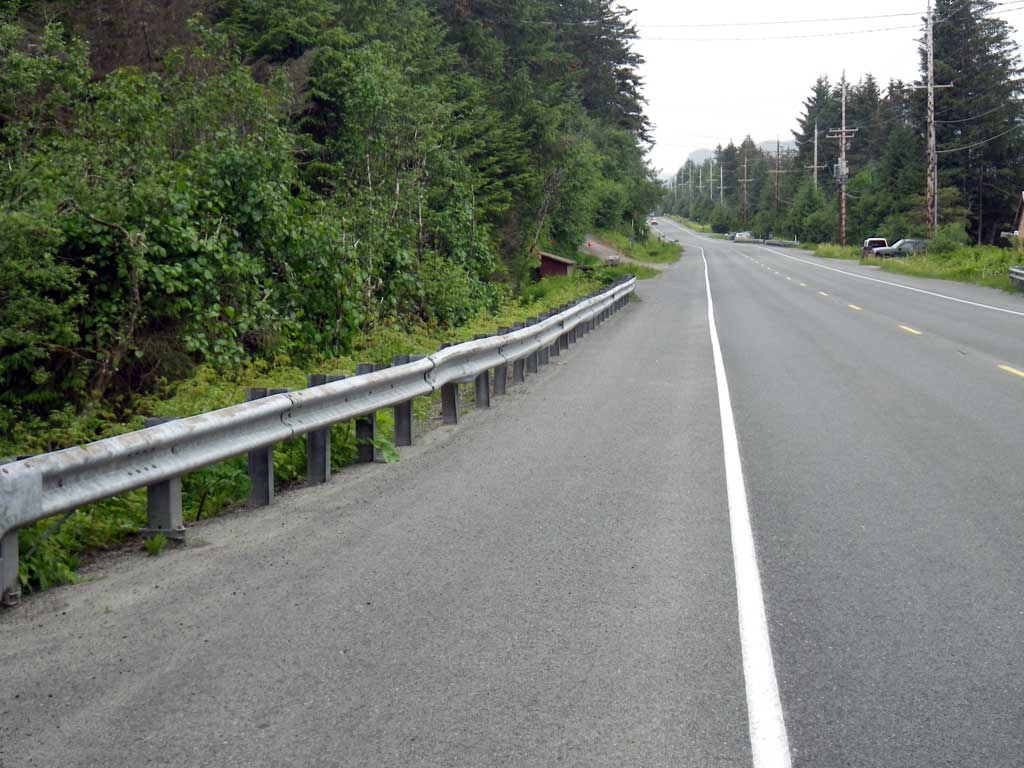
Road Name: North Douglas Highway
Datum: NAD83
Quad Name / ITM: Juneau B-2
AWC Stream #:
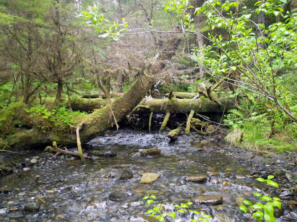
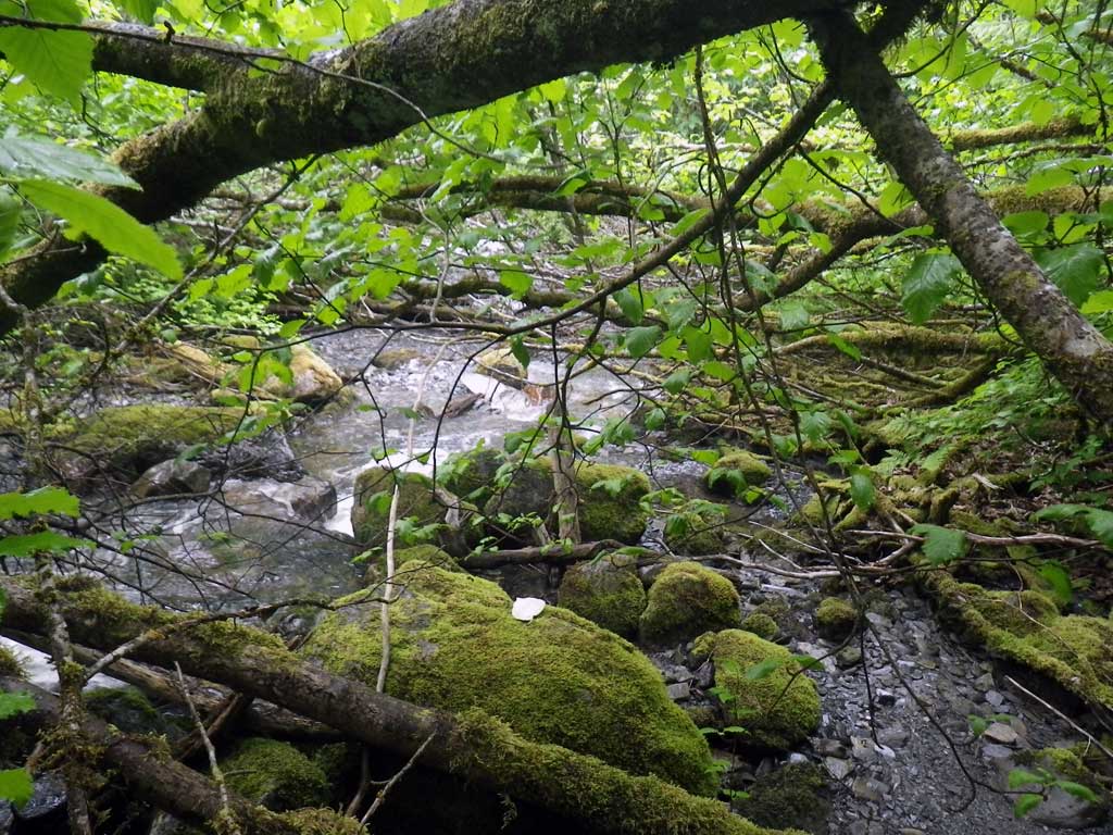
Stream Name: Falls Creek
Elevation:
Site Comments: None
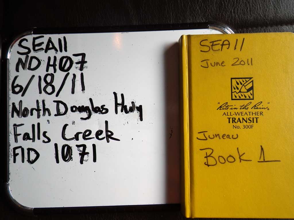
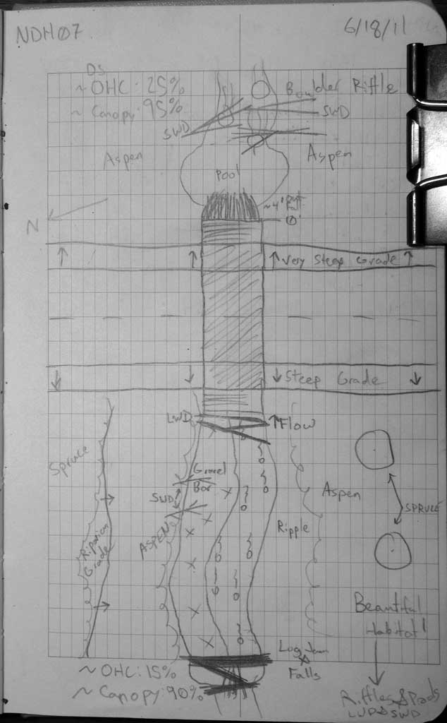
Survey SEA11-NDH07
Project Supervisor: Gillian O'Doherty, Alaska Department of Fish and Game
— Anchorage, AK
Observers: Mark Eisenman, Jason Olds
Overall Fish Passage Rating:
Tidal: No
Backwatered: No
Step Pools: No
Construction Year:
Site Observations:
- Outfall height red
- Constriction ratio red
- Culvert gradient red
- Debris Flow
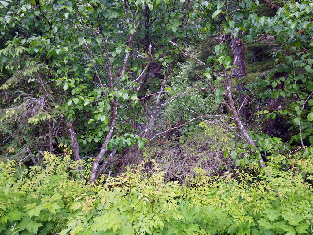
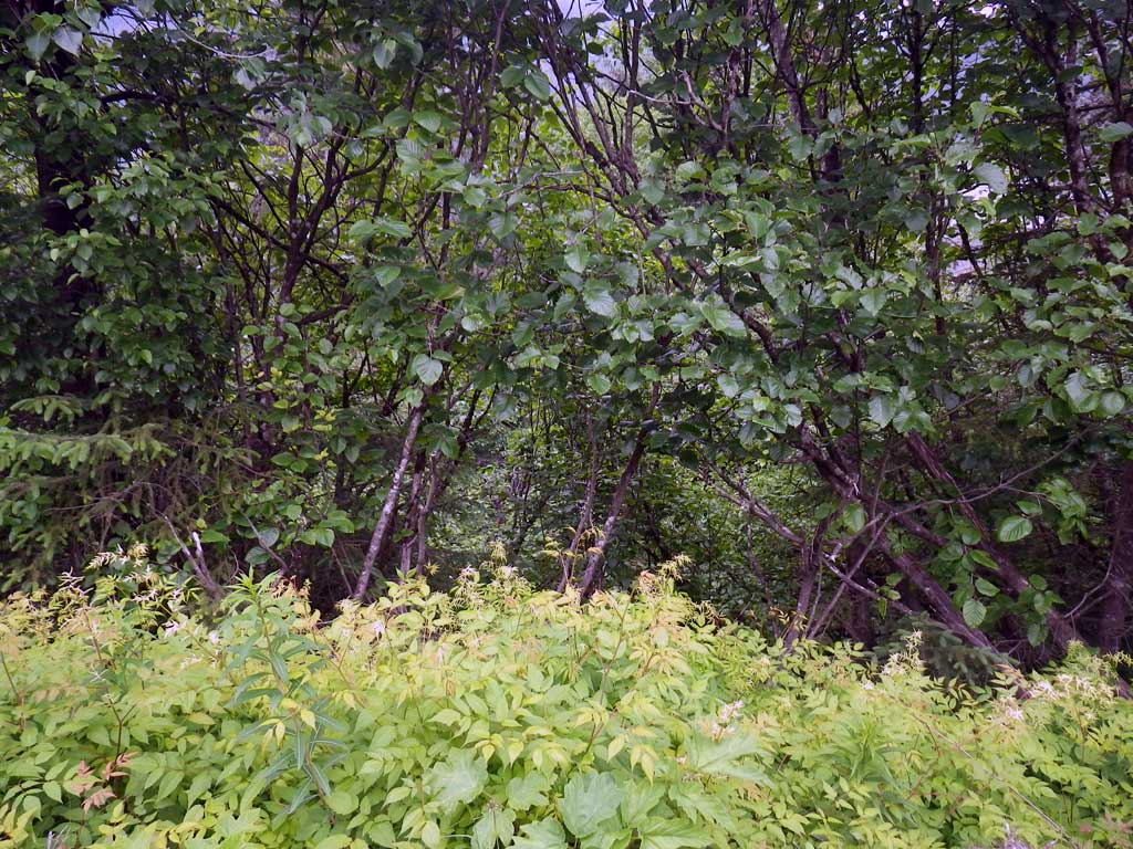
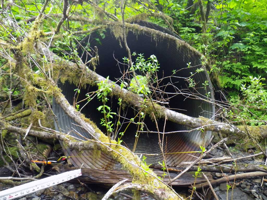
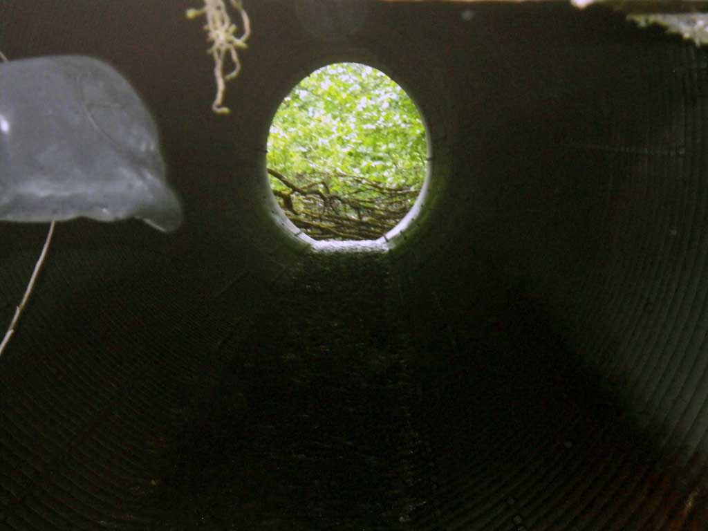
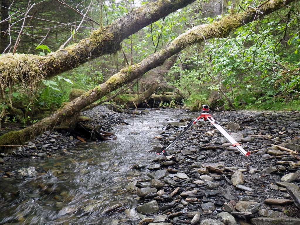
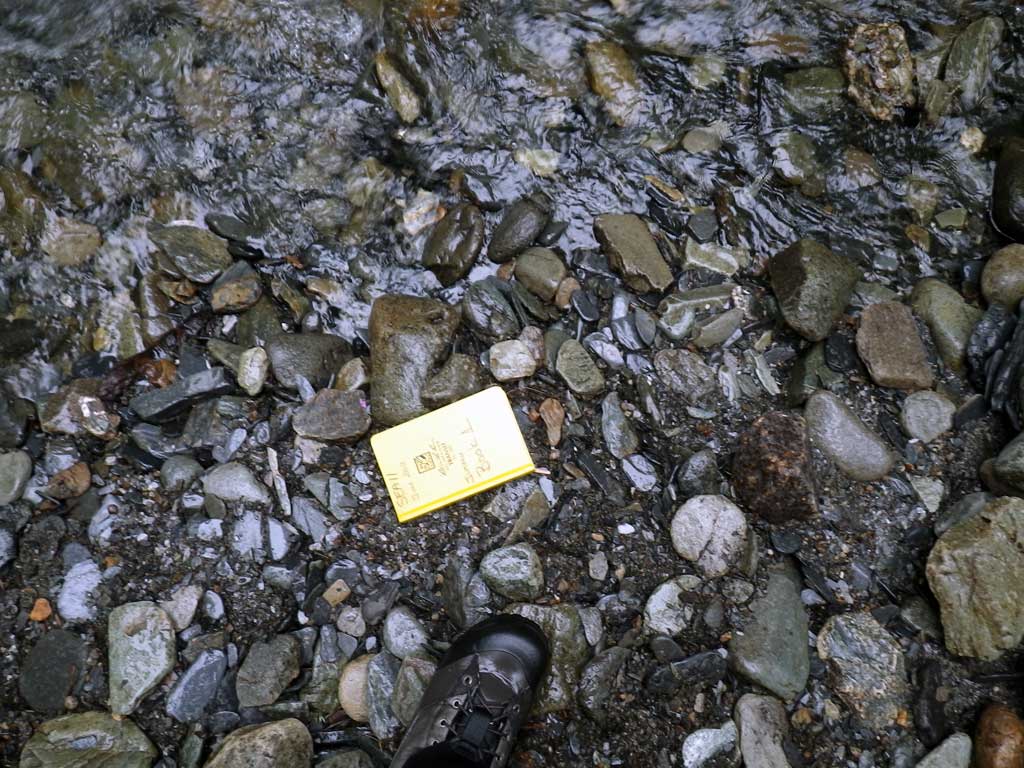
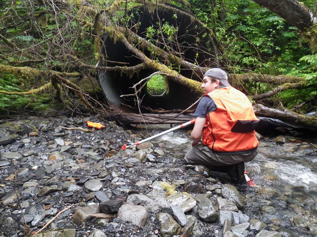
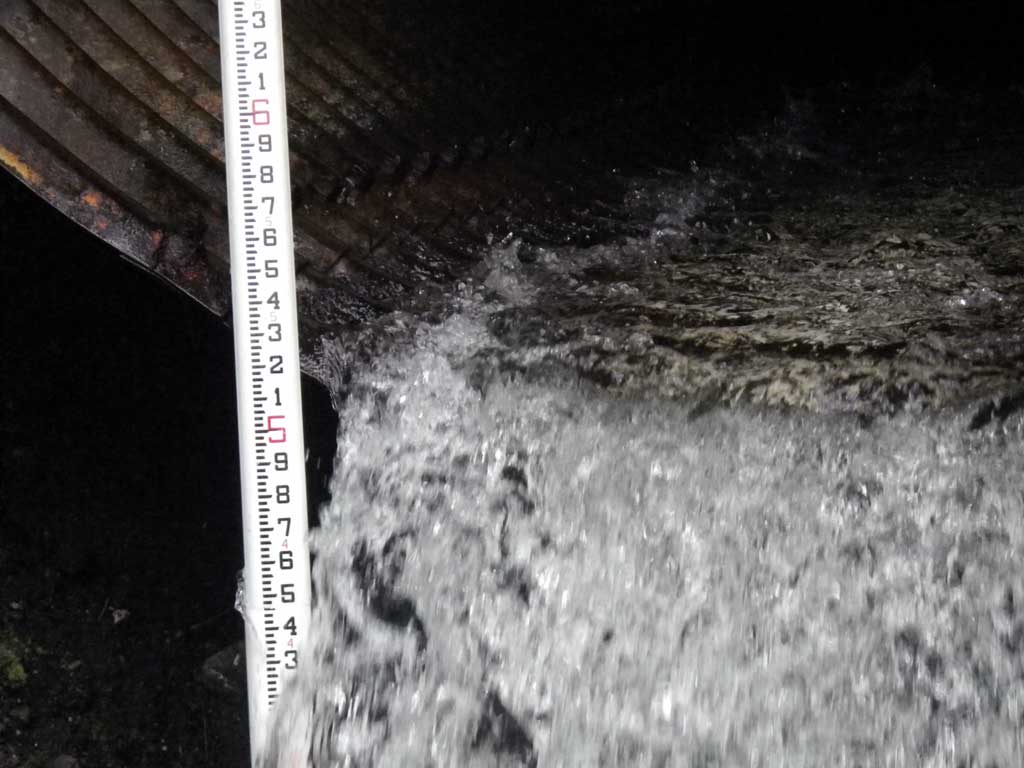
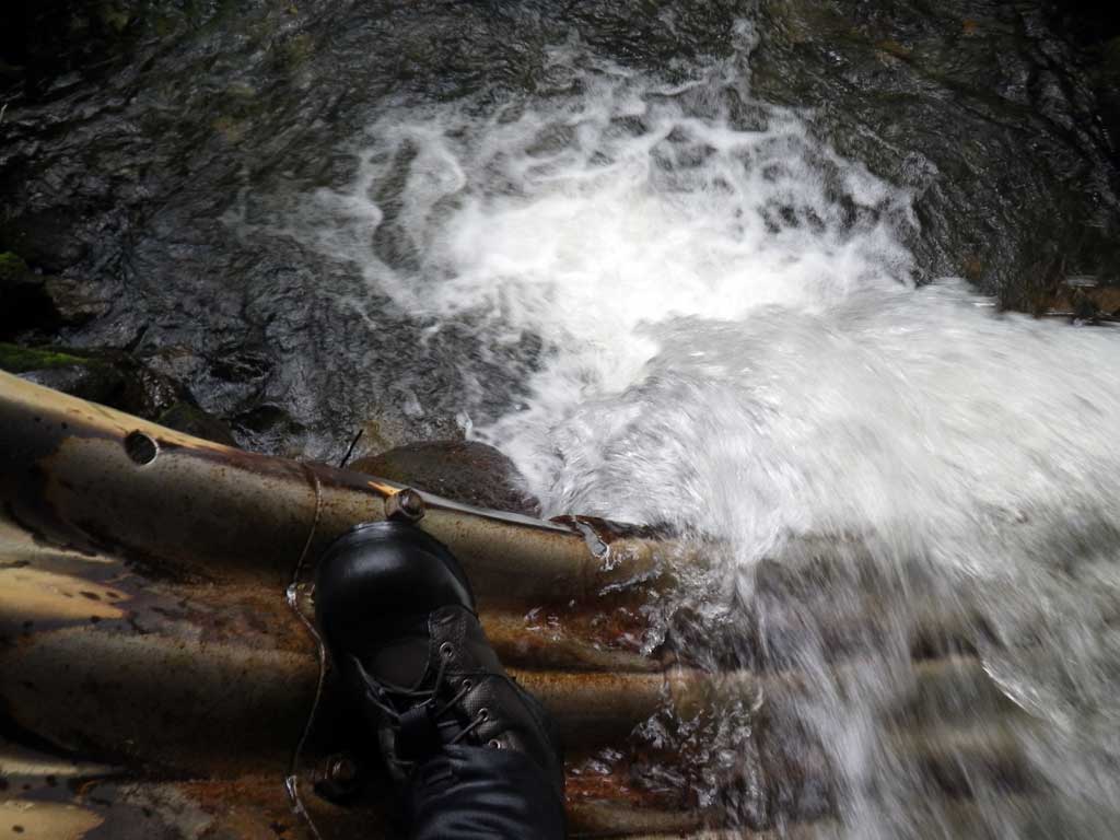
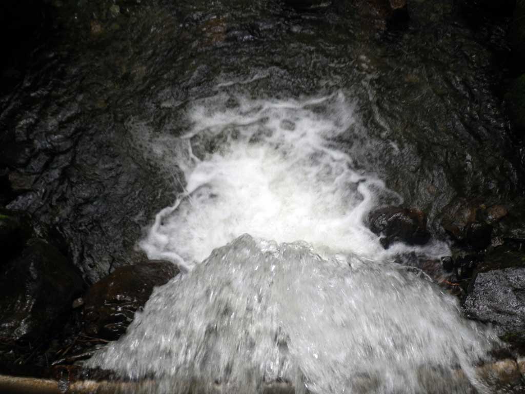
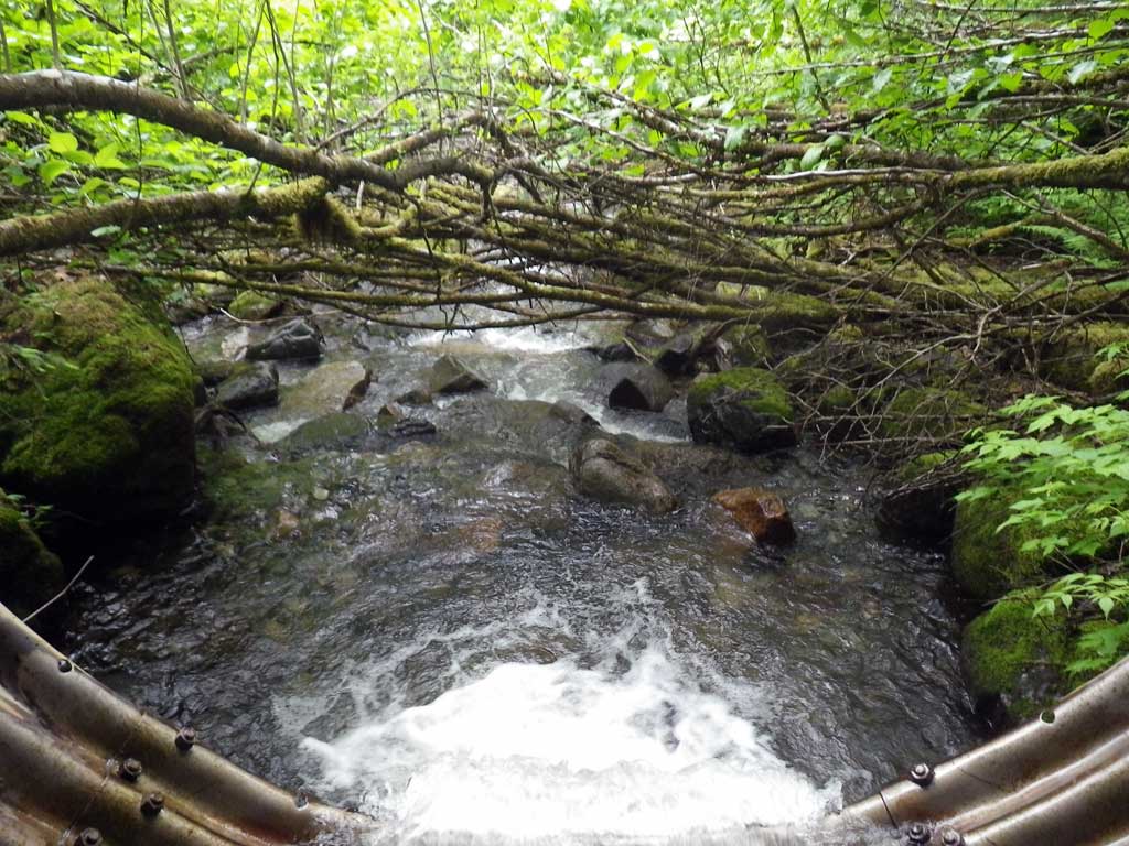
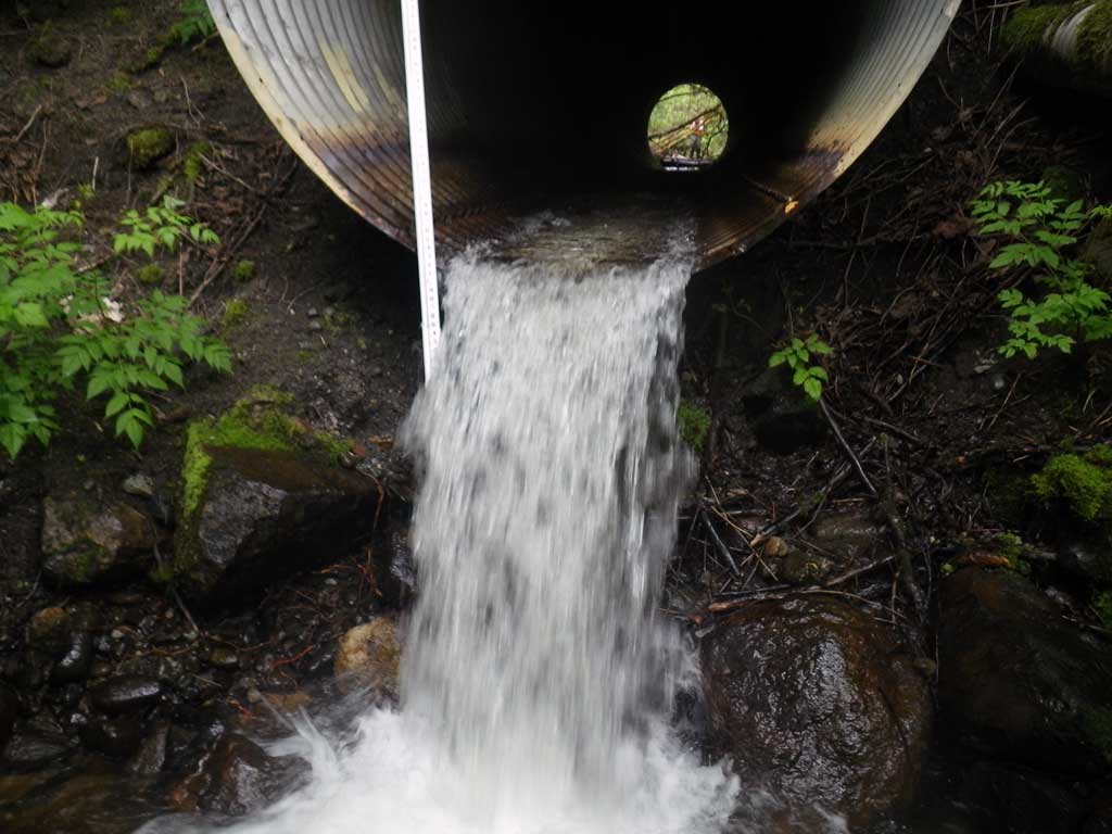
Comments: No traps set due to previous catalogue in AWC. Dolly Varden observed upstream. Nice pool complexes upstream. Large outfall at invert out. Long profile shot through pipe with Leica 730 from the upstream invert in. Steep fill grade to road surface from culvert, very overgrown.
Culvert Measurements
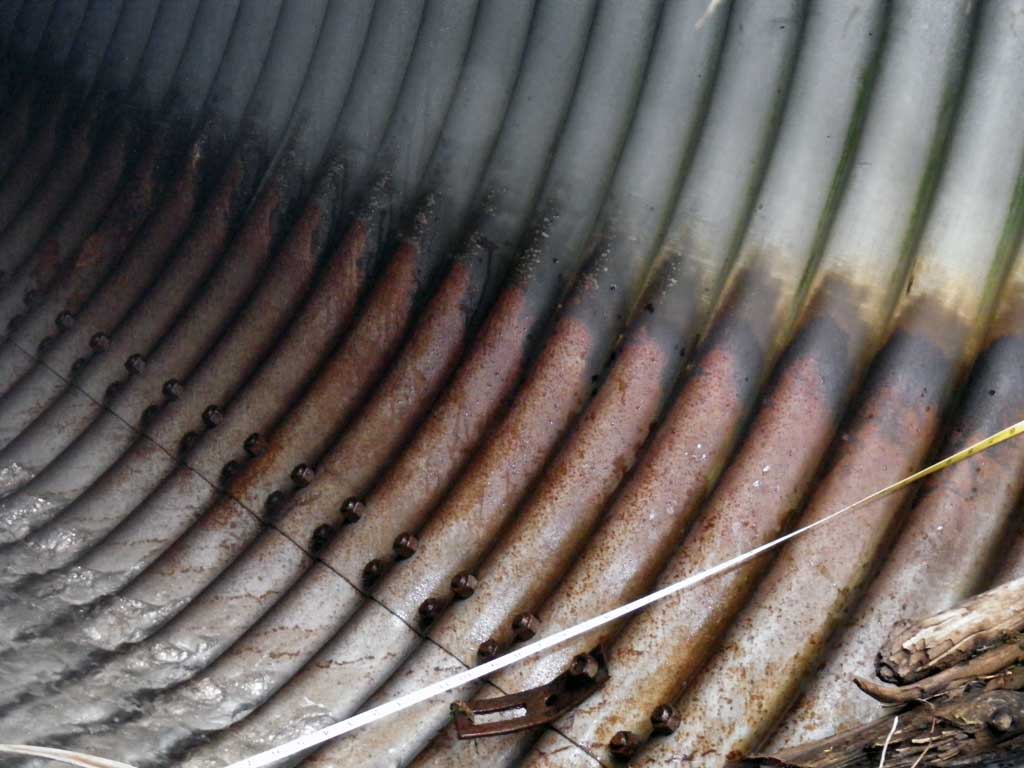
| ID: 1 | Structure Type: Circular pipe (Structural steel plate) | Fish Passage Rating: | |||||||||||||||||||||||||||||||||||||||||
|
|
|
|||||||||||||||||||||||||||||||||||||||||
Culvert Observations:
|
|||||||||||||||||||||||||||||||||||||||||||
Stream Measurements
|
|
| Stream Width Type | Distance From Crossing (ft) |
Stream Width (ft) |
|---|---|---|
| Upstream ordinary high water | 118.0 | 20.00 |
| Upstream ordinary high water | 226.0 | 15.10 |
| Upstream ordinary high water | 300.0 | 22.10 |
Elevations
| Locator ID | Culvert Number |
River Distance (ft)1 |
Distance From Crossing (ft)2 |
Relative Elevation (ft) |
|---|---|---|---|---|
| D/S Tailcrest or 1st Thalweg | 0.00 | 85.94 | ||
| D/S Water Surface Elev (Tailwater control) | 0.00 | 86.61 | ||
| Max Pool Depth | 3.00 | 84.20 | ||
| Outlet Invert (On metal) | 11.00 | 91.01 | ||
| D/S Water Surface Elev (Water surface at invert out) | 11.00 | 91.49 | ||
| Inlet Culvert Invert (On metal) | 106.38 | 97.30 | ||
| U/S Water Surface Elev (Water surface at invert in) | 106.38 | 97.86 | ||
| U/S Headwater (1st resting) | 107.00 | 97.87 |
Notes:
- River distance is measured continuously throughout the survey reach along the thalweg of the stream.
- Measured from each end of the crossing along the thalweg of the stream.
Fish Sampling Efforts
| Gear Type: Visual Observation, Ground (A) | ||
| Comments: Visual observation while walking upstream of Dolly Varden | ||
Fish Observations
No fish observations occurred during this survey.
Photos
Questions or comments about this report can be directed to dfg.dsf.webmaster@alaska.gov