Fish Passage Site 10302155
Coordinates (dec. deg.): 58.31249°, -134.46019°
Legal Description: C041S067E16
Region: Southeast
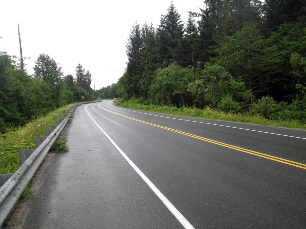
Road Name: North Douglas Highway
Datum: NAD83
Quad Name / ITM: Juneau B-2
AWC Stream #:
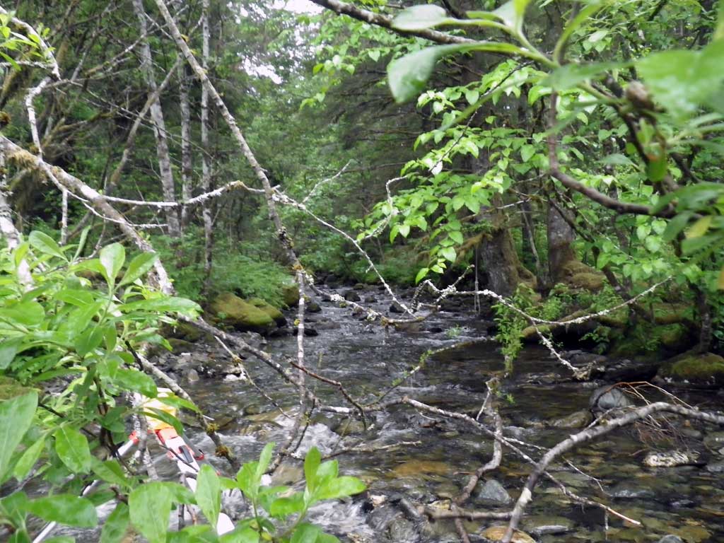
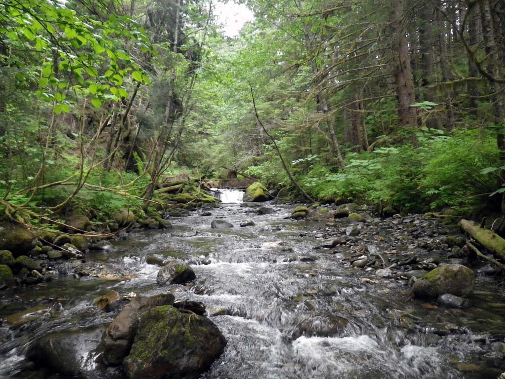
Stream Name: Eagle Creek
Elevation:
Site Comments: None
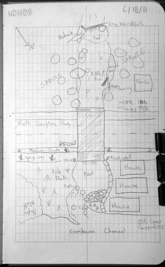
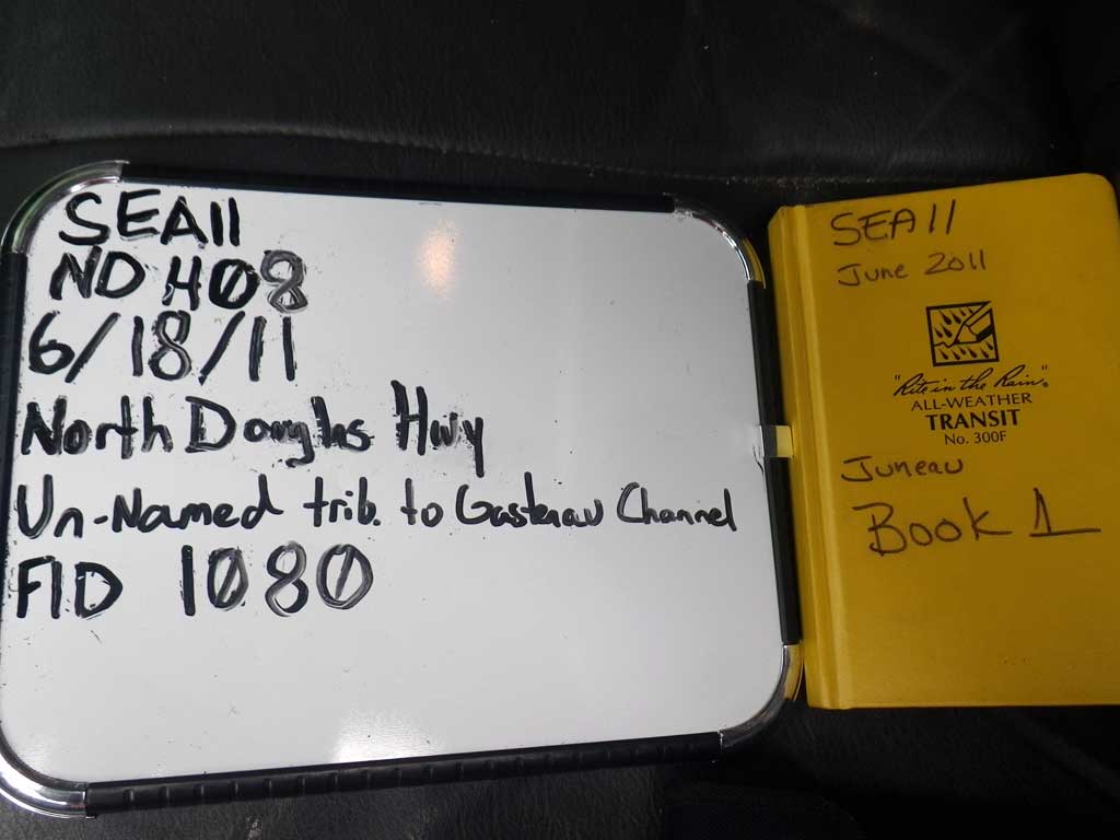
Survey SEA11-NDH08
Project Supervisor: Gillian O'Doherty, Alaska Department of Fish and Game
— Anchorage, AK
Observers: Mark Eisenman, Jason Olds
Overall Fish Passage Rating:
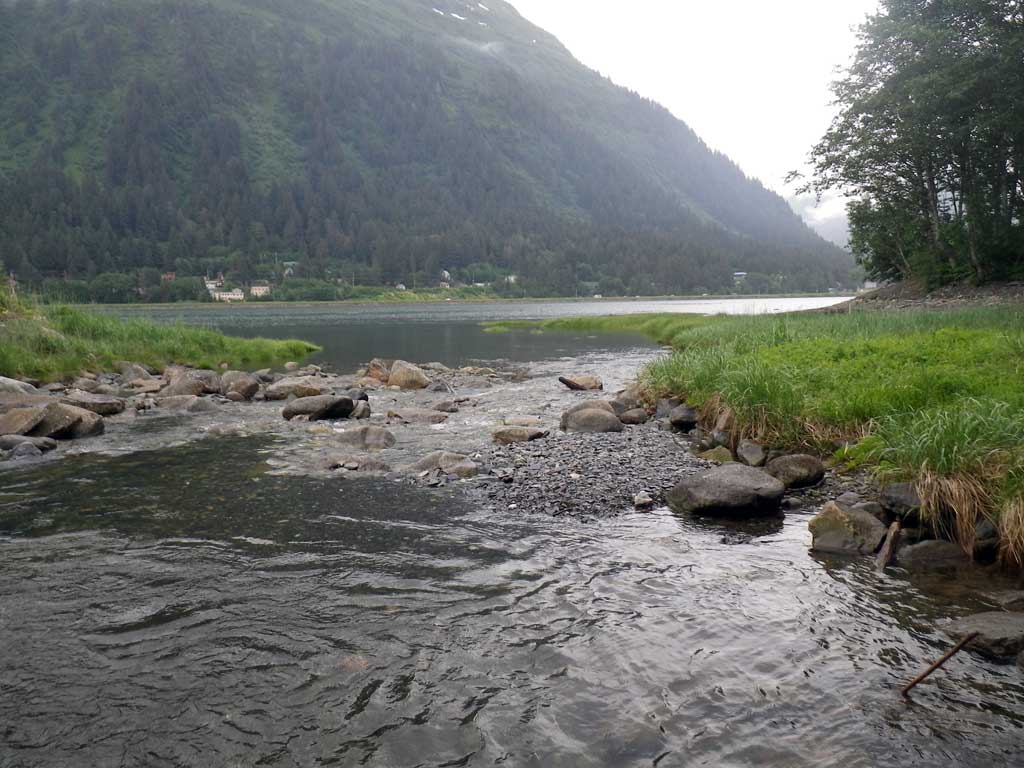
Tidal: Yes
Backwatered: No
Step Pools: No
Construction Year:
Site Observations:
- Culvert gradient red
- Outfall height gray
- Constriction ratio red
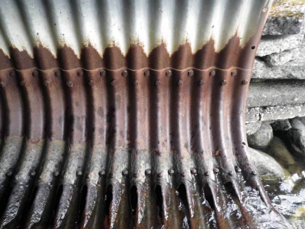
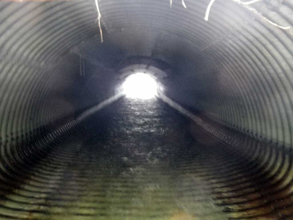
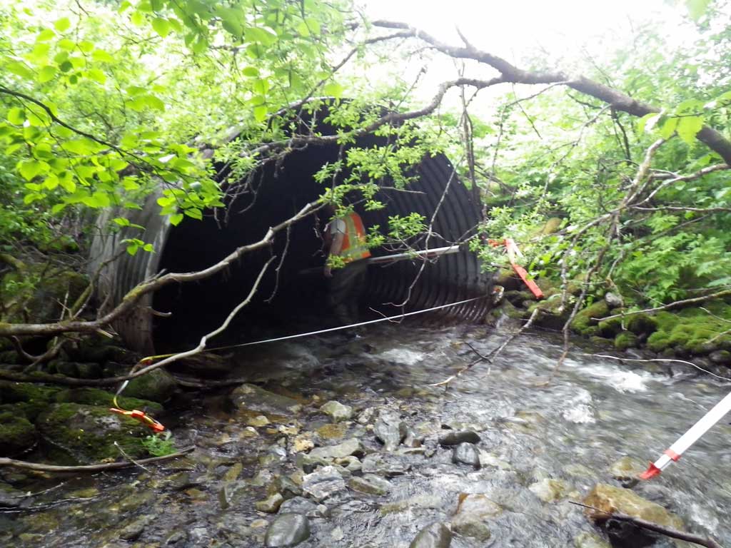
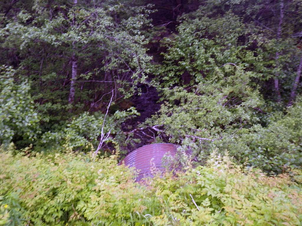
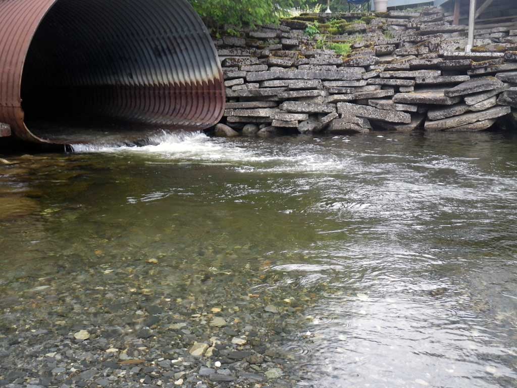
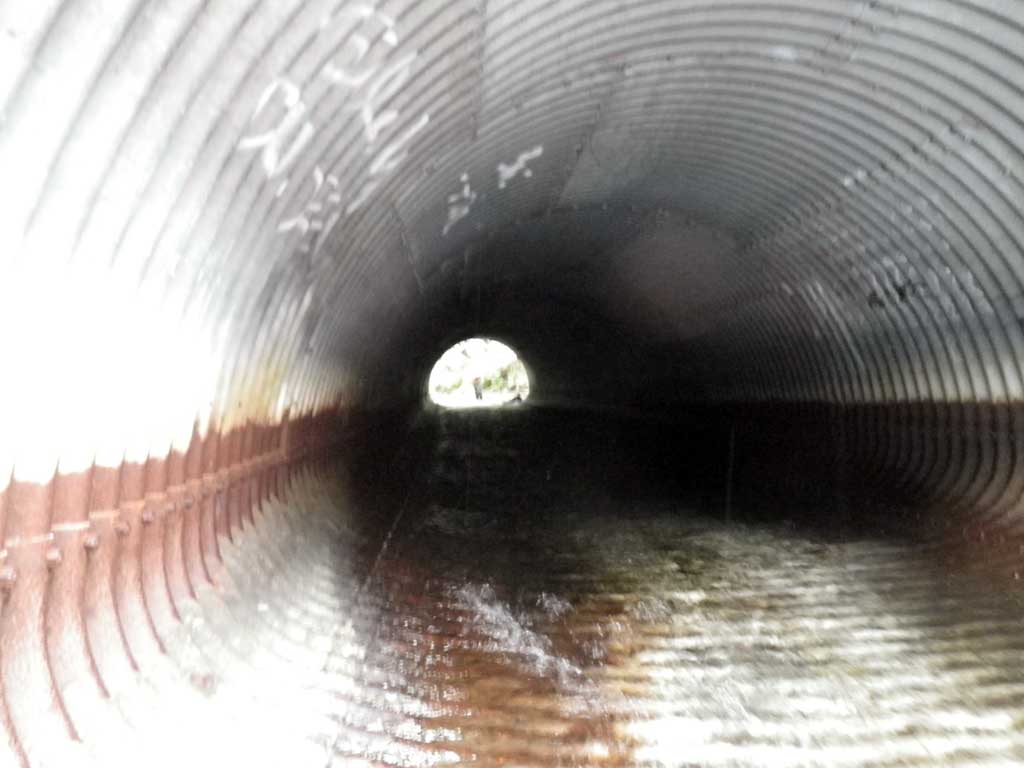
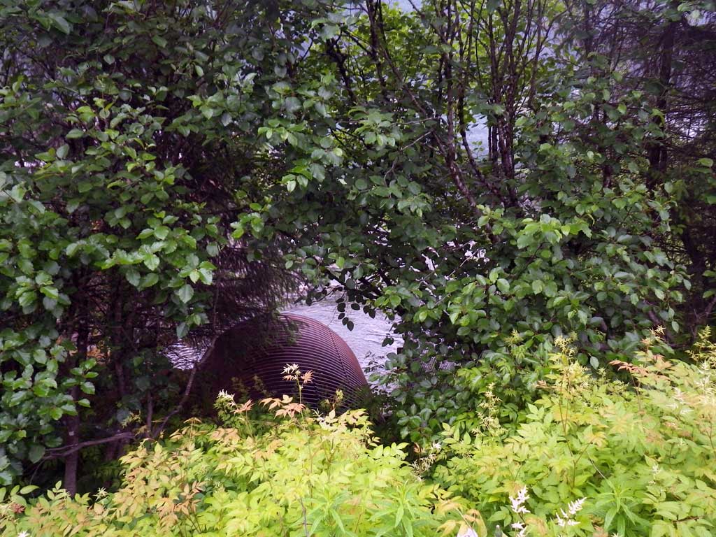
Comments: No traps set as creek is already in AWC. Culvert is in tidal influence, possible whole pipe is filled with water in very high tides. Outlet is rusted through in places along the lower periphery, potentially as a result of exposure to marine water accelerating oxydization. Nice pool/ riffle complexes upstream. Approximately 50 feet from outlet to ocean at time of observation(tidal). No downstream grade points measured beyond tailwater control point with tidal consideration potentially backwatering the pipe.
Culvert Measurements
| ID: 1 | Structure Type: Pipe-arch (Structural steel plate) | Fish Passage Rating: | |||||||||||||||||||||||||||||||||||||||||
|
|
|
|||||||||||||||||||||||||||||||||||||||||
Culvert Observations:
|
|||||||||||||||||||||||||||||||||||||||||||
Stream Measurements
|
|
| Stream Width Type | Distance From Crossing (ft) |
Stream Width (ft) |
|---|---|---|
| Upstream ordinary high water | 59.0 | 21.00 |
| Upstream ordinary high water | 101.0 | 27.20 |
| Upstream ordinary high water | 183.0 | 31.00 |
Elevations
| Locator ID | Culvert Number |
River Distance (ft)1 |
Distance From Crossing (ft)2 |
Relative Elevation (ft) |
|---|---|---|---|---|
| D/S Water Surface Elev (Tailwater control water surface. Tidal influence possible) | 0.00 | 99.29 | ||
| D/S Tailcrest or 1st Thalweg (Tidal influence possible) | 0.00 | 98.22 | ||
| Max Pool Depth (Tidal influence possible) | 14.00 | 95.34 | ||
| Outlet Pool Water Elev (Tidal influence possible) | 14.00 | 99.35 | ||
| D/S Water Surface Elev (Invert out. Tidal influence possible) | 31.00 | 99.69 | ||
| Outlet Invert (On metal, invert out. Tidal influence possible) | 31.00 | 99.27 | ||
| U/S Water Surface Elev (Invert in. Tidal influence possible) | 146.00 | 104.00 | ||
| Inlet Culvert Invert (On metal. Tidal influence possible) | 146.00 | 103.28 | ||
| U/S Thalweg (Tailcrest) (1st resting, on substrate) | 147.00 | 103.42 | ||
| U/S Headwater (1st resting) | 147.00 | 103.94 |
Notes:
- River distance is measured continuously throughout the survey reach along the thalweg of the stream.
- Measured from each end of the crossing along the thalweg of the stream.
Fish Sampling Efforts
| Gear Type: None (A) | ||
| Comments: No traps set no fish observed. | ||
Fish Observations
No fish observations occurred during this survey.
Photos
Questions or comments about this report can be directed to dfg.dsf.webmaster@alaska.gov