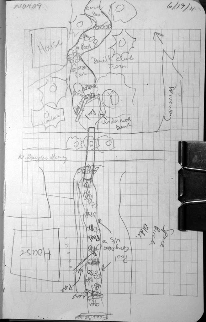
Fish Passage Site 10302154
Coordinates (dec. deg.): 58.30491°, -134.45178°
Legal Description: C041S067E22
Region: Southeast
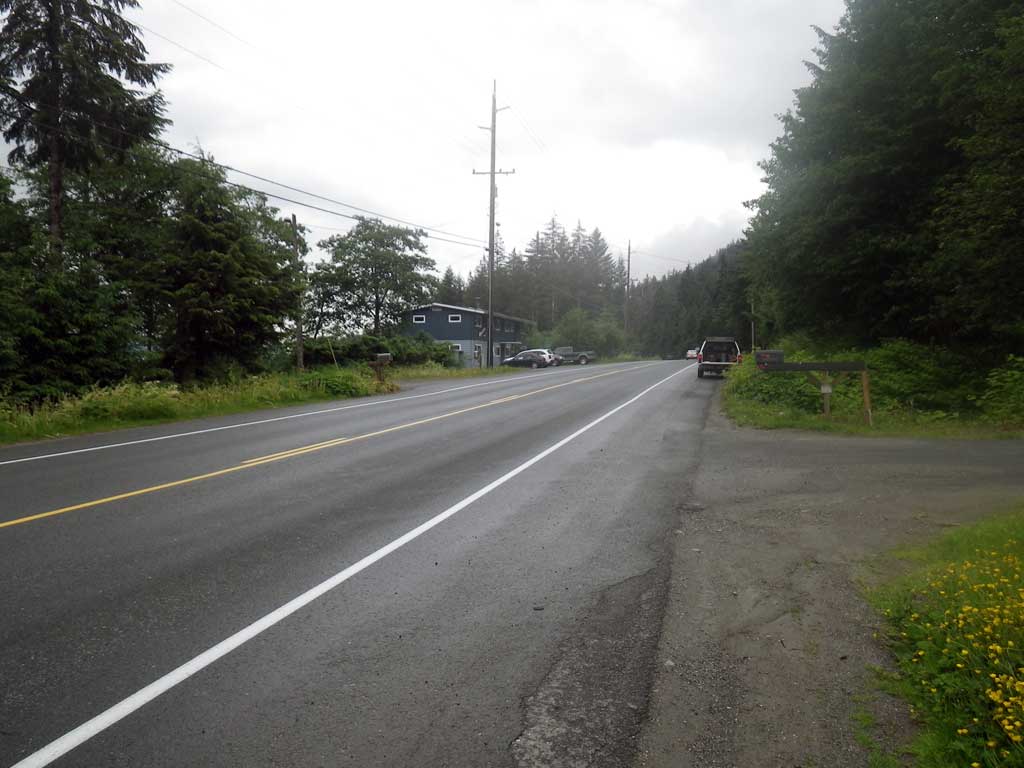
Road Name: North Douglas Highway
Datum: NAD83
Quad Name / ITM: Juneau B-2
AWC Stream #:
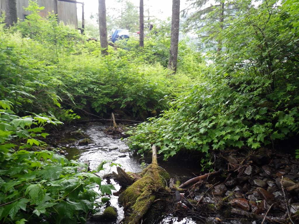
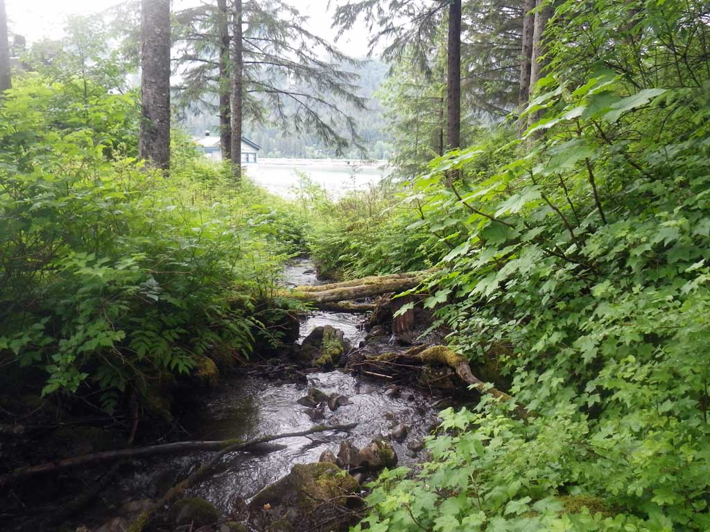
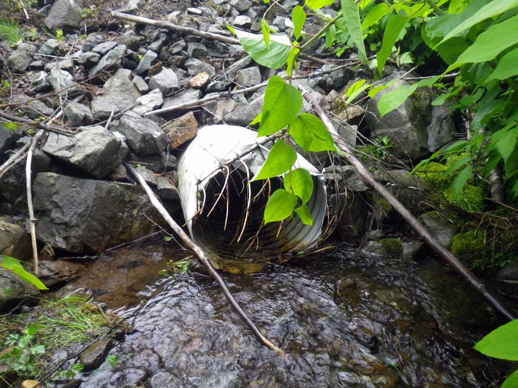
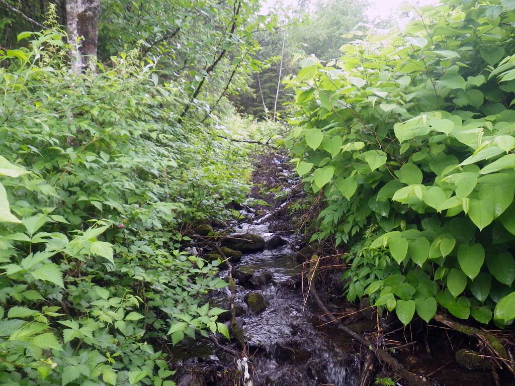
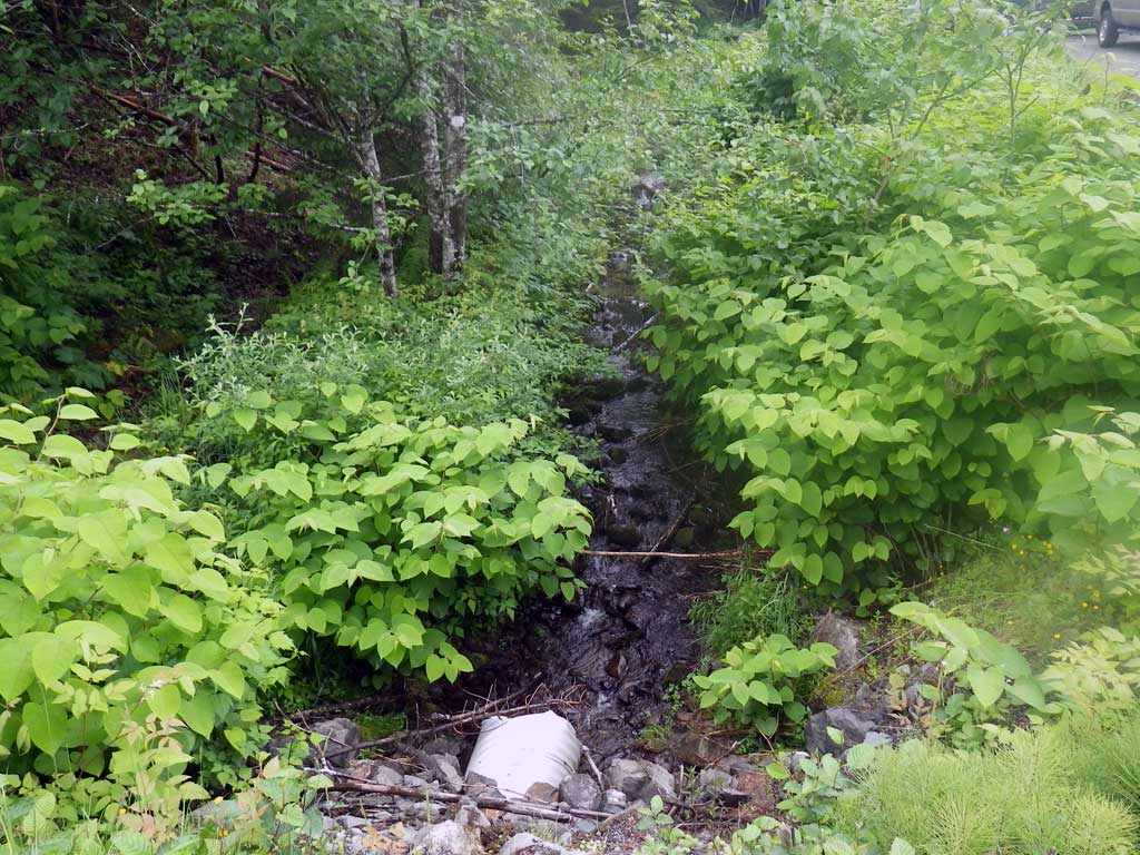
Stream Name: Grant Creek
Elevation:
Site Comments: None
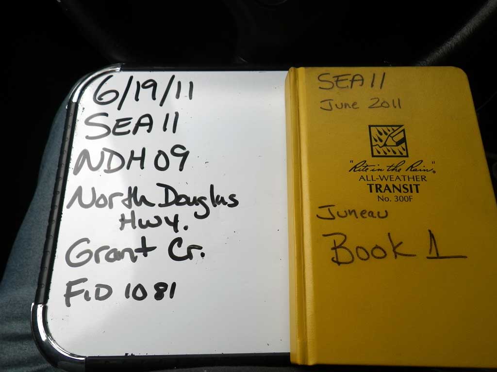
Survey SEA11-NDH09
Project Supervisor: Gillian O'Doherty, Alaska Department of Fish and Game
— Anchorage, AK
Observers: Mark Eisenman, Jason Olds
Overall Fish Passage Rating:
Tidal: No
Backwatered: No
Step Pools: No
Construction Year:
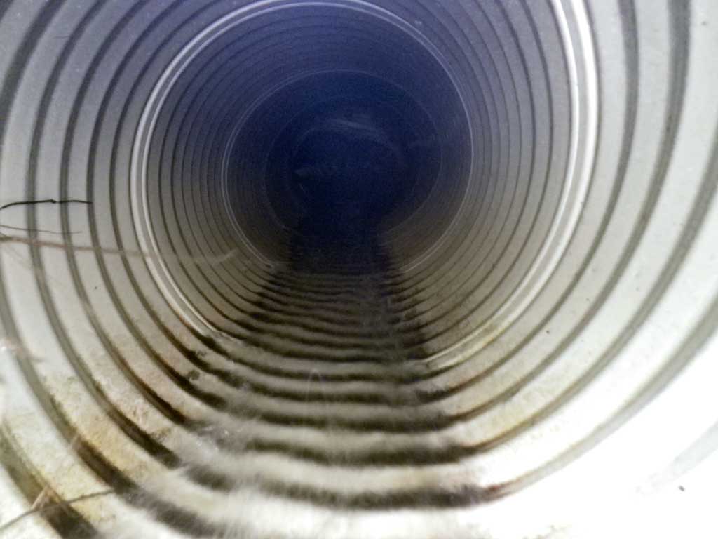
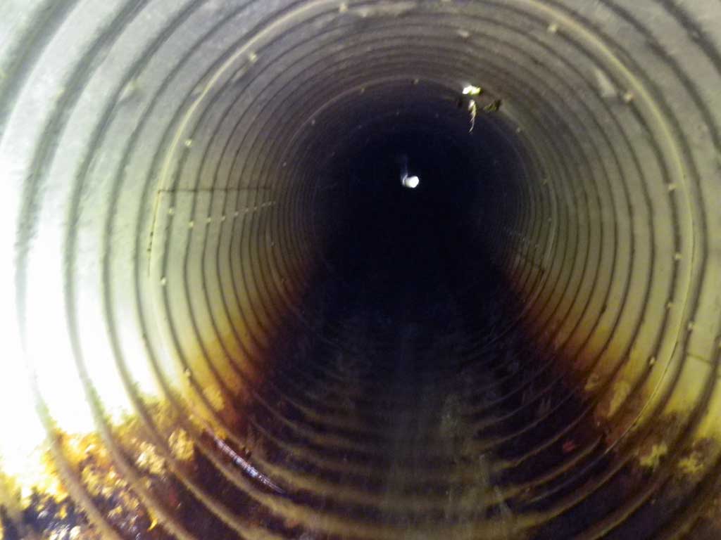
Site Observations:
- Culvert gradient red
- Constriction ratio red
- Outfall height red
- Compound gradient in pipe
- Woody Debris
- Mechanical damage or joints parting
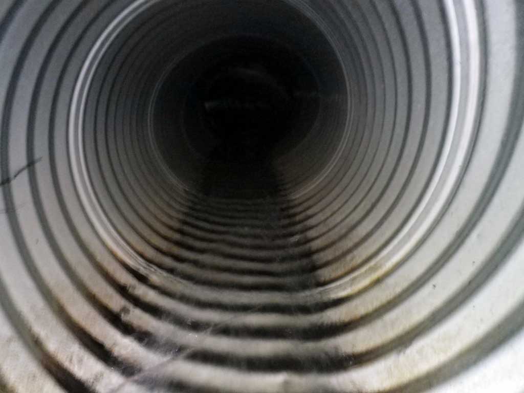
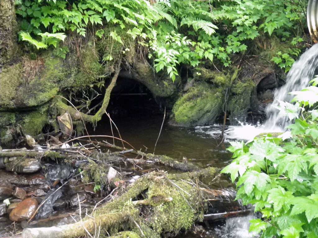
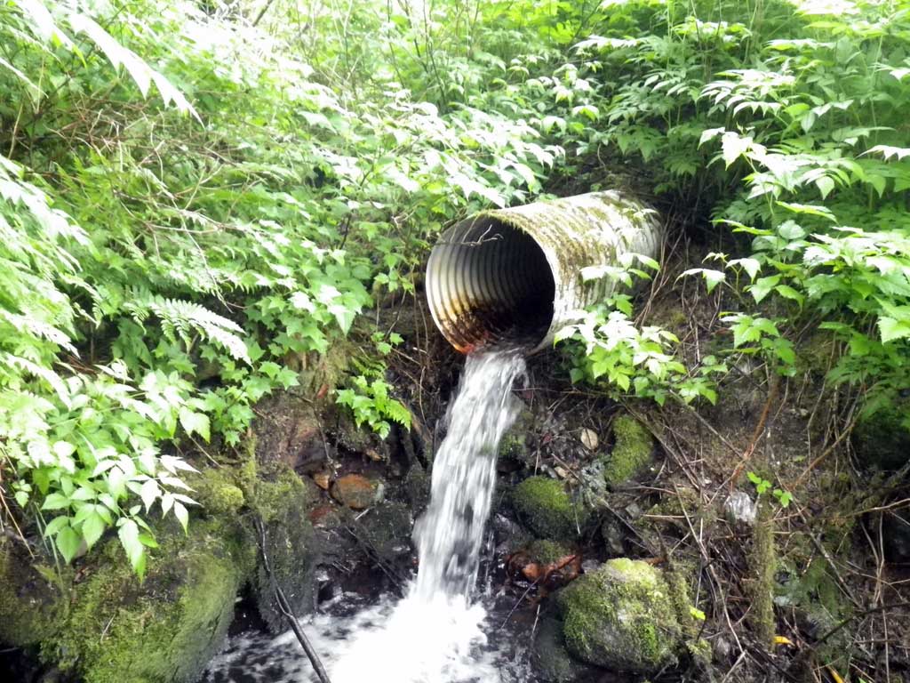
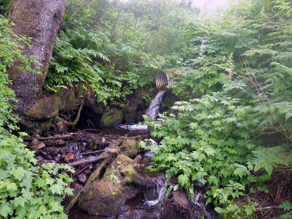
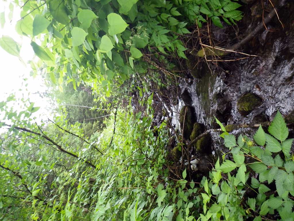
Comments: No traps set, already in AWC for downstream portion. Inlet damage to pipe. Possible max grade in pipe. Stream smells of sewage, there is a pipe running into the stream from upstream land owners property. Upstream landowner has cleared all foilage from riparian zone and seemingly deposited numerous refuse and garbage in and around stream.
Culvert Measurements
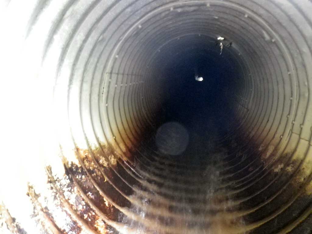
| ID: 1 | Structure Type: Circular pipe (Corrugated aluminum) | Fish Passage Rating: | |||||||||||||||||||||||||||||||||||||||||
|
|
|
|||||||||||||||||||||||||||||||||||||||||
Comments: Further failure code: EC (exceeds hydraulic capacity) |
|||||||||||||||||||||||||||||||||||||||||||
Culvert Observations:
|
|||||||||||||||||||||||||||||||||||||||||||
Stream Measurements
|
|
| Stream Width Type | Distance From Crossing (ft) |
Stream Width (ft) |
|---|---|---|
| Upstream ordinary high water | 65.0 | 7.00 |
| Upstream ordinary high water | 115.0 | 7.00 |
| Upstream ordinary high water | 186.0 | 8.00 |
Elevations
| Locator ID | Culvert Number |
River Distance (ft)1 |
Distance From Crossing (ft)2 |
Relative Elevation (ft) |
|---|---|---|---|---|
| Road Elev | 119.71 | |||
| D/S Grade Ctrl (Thalweg) | 0.00 | 92.86 | ||
| D/S Water Surface Elev | 0.00 | 93.07 | ||
| D/S Tailcrest or 1st Thalweg (Tailwater control) | 11.00 | 94.27 | ||
| D/S Water Surface Elev (Tailwater control) | 11.00 | 94.65 | ||
| Outlet Pool Water Elev | 14.00 | 94.68 | ||
| Max Pool Depth | 14.00 | 93.00 | ||
| Outlet Invert | 20.00 | 97.90 | ||
| D/S Water Surface Elev (Invert out) | 20.00 | 98.00 | ||
| Outlet Culvert Top | 20.00 | 100.00 | ||
| Inlet Culvert Invert | 119.80 | 110.78 | ||
| U/S Water Surface Elev (Invert in) | 119.80 | 112.13 | ||
| U/S Headwater (Side of invert in) | 119.80 | 112.18 | ||
| Inlet Culvert Top | 119.80 | 113.67 | ||
| U/S Grade Ctrl (Thalweg) | 126.30 | 112.66 | ||
| U/S Water Surface Elev | 126.30 | 112.79 |
Notes:
- River distance is measured continuously throughout the survey reach along the thalweg of the stream.
- Measured from each end of the crossing along the thalweg of the stream.
Fish Sampling Efforts
| Gear Type: None (A) | ||
| Comments: No traps set no fish observed. | ||
Fish Observations
No fish observations occurred during this survey.
Photos
Questions or comments about this report can be directed to dfg.dsf.webmaster@alaska.gov