Fish Passage Site 10302153
Coordinates (dec. deg.): 58.28292°, -134.37453°
Legal Description: C041S067E25
Region: Southeast
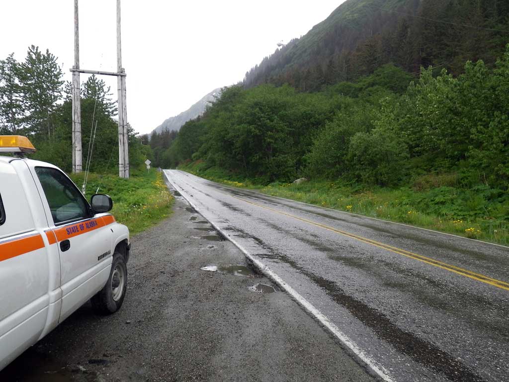
Road Name: Thane Road
Datum: NAD83
Quad Name / ITM: Juneau B-2
AWC Stream #:
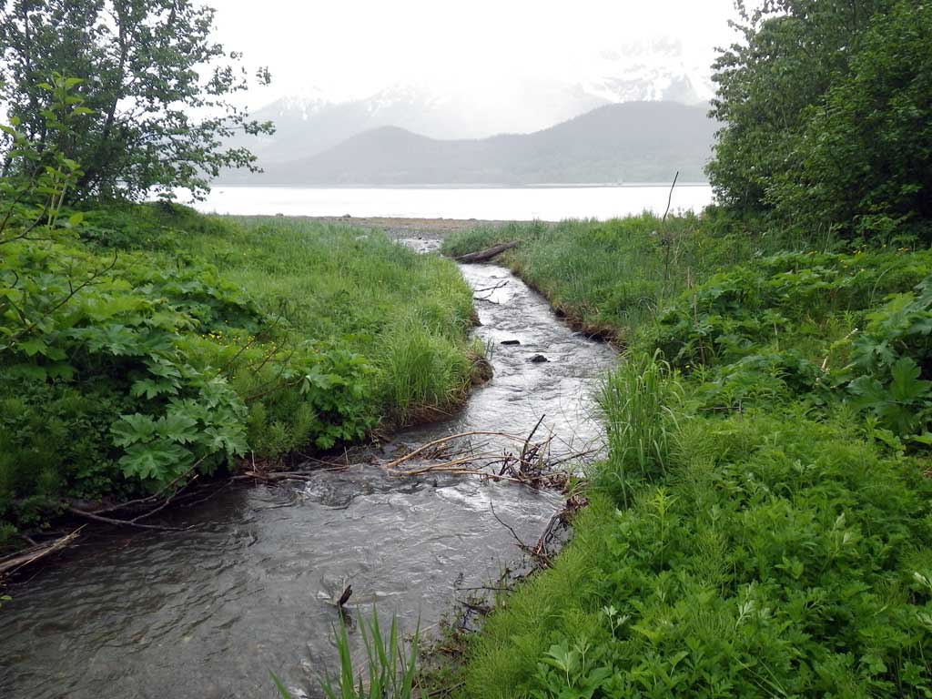
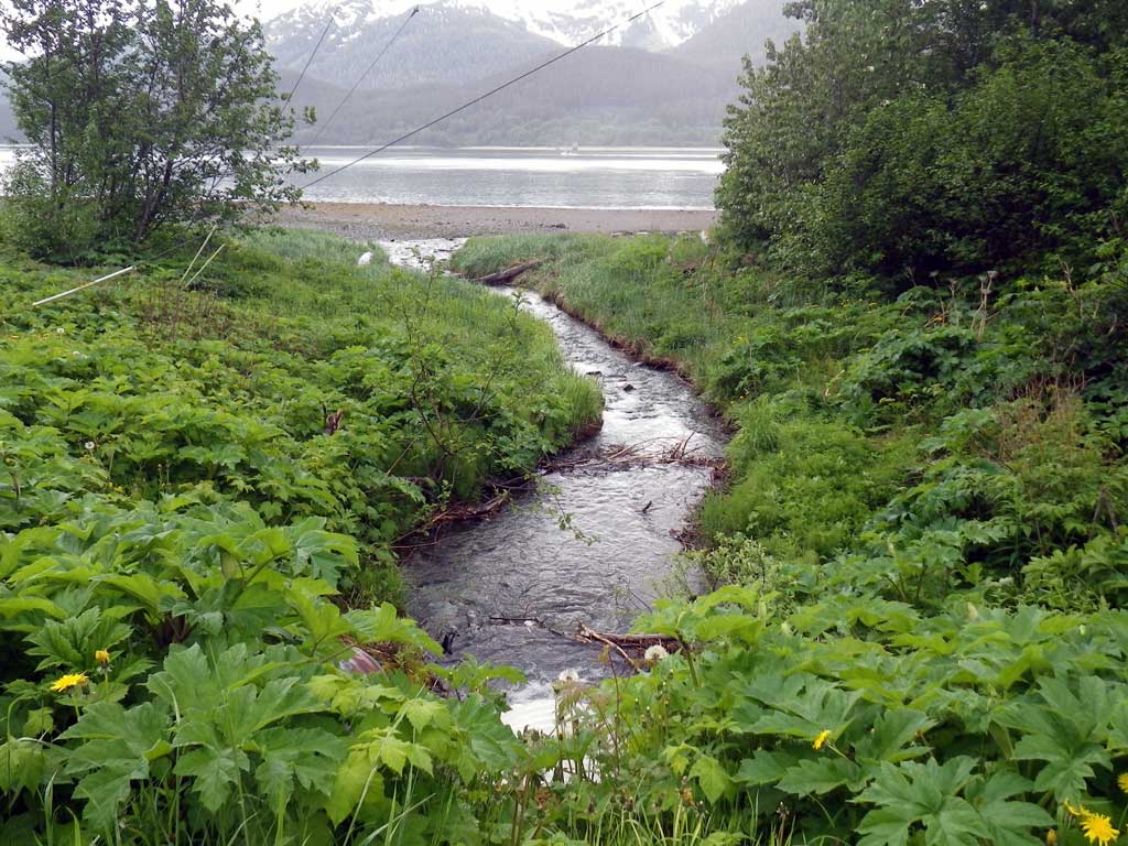
Stream Name: Snowslide Creek
Elevation:
Site Comments: None
arrow to the right of the survey date below to choose a different report for this site.
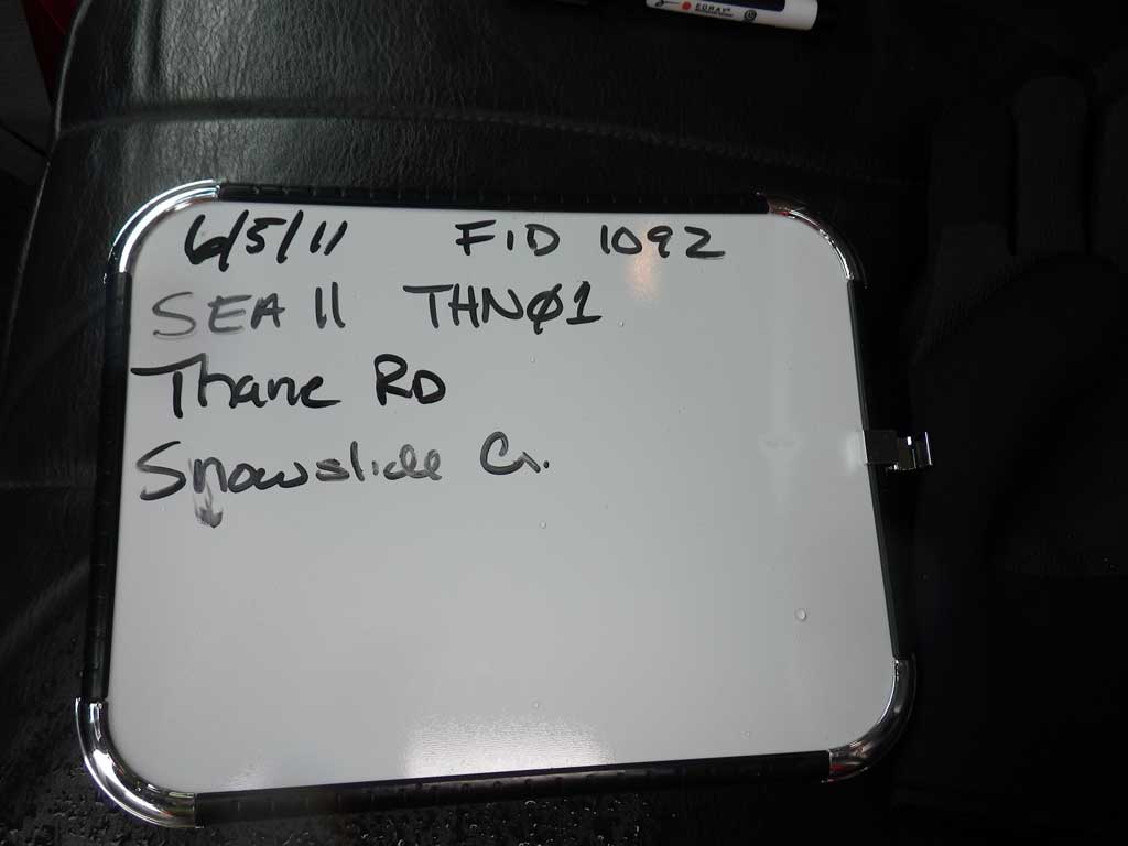
Survey SEA11-THN01
Project Supervisor: Gillian O'Doherty, Alaska Department of Fish and Game
— Anchorage, AK
Observers: Mark Eisenman, Jason Olds
Overall Fish Passage Rating:
Tidal: No
Backwatered: No
Step Pools: No
Construction Year:
Site Observations:
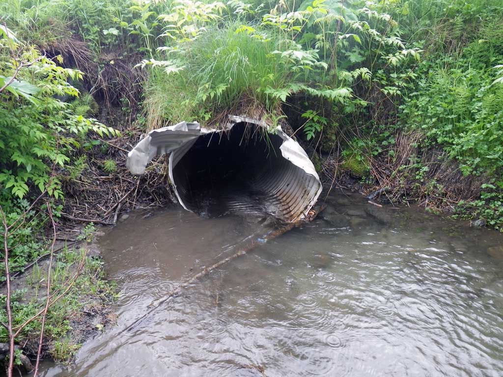
- Outfall height red
- Culvert gradient red
- Constriction ratio gray
- Mechanical damage or joints parting
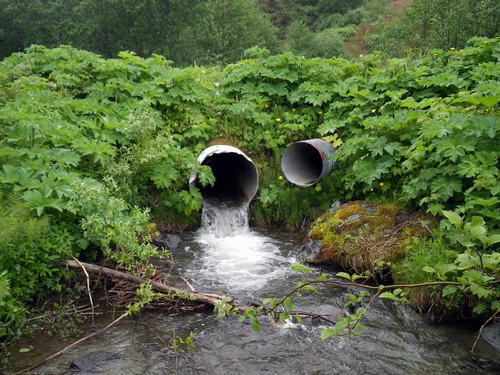
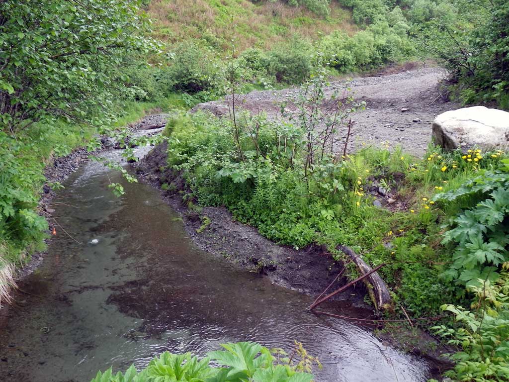
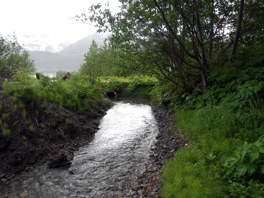
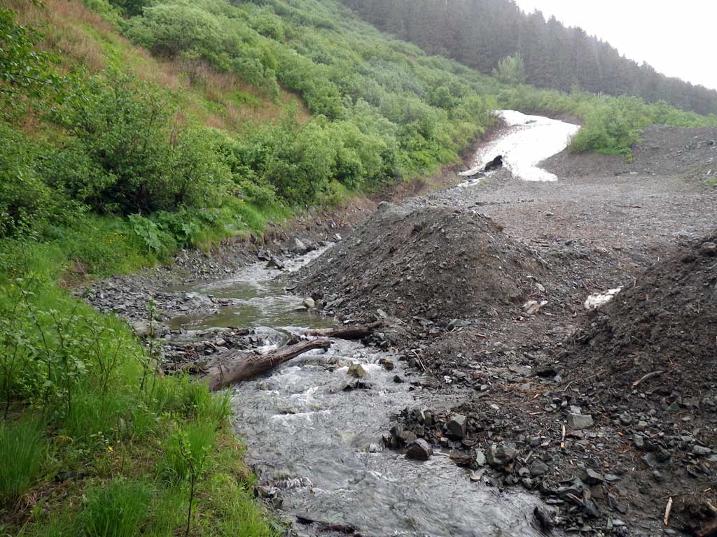
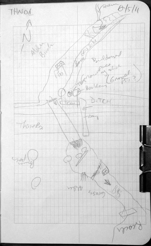
Comments: Upstream has a small amount of habitat and the gradient became very steep. Upstream side has significant manipulation and stream has been channelized.
Culvert Measurements
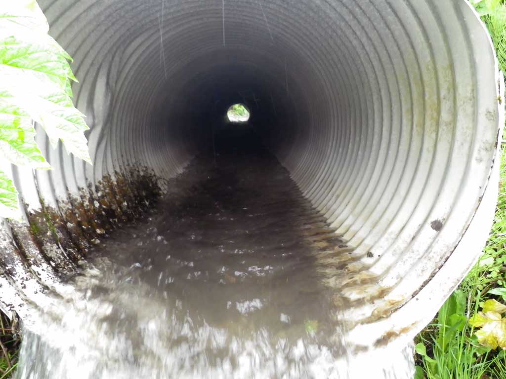
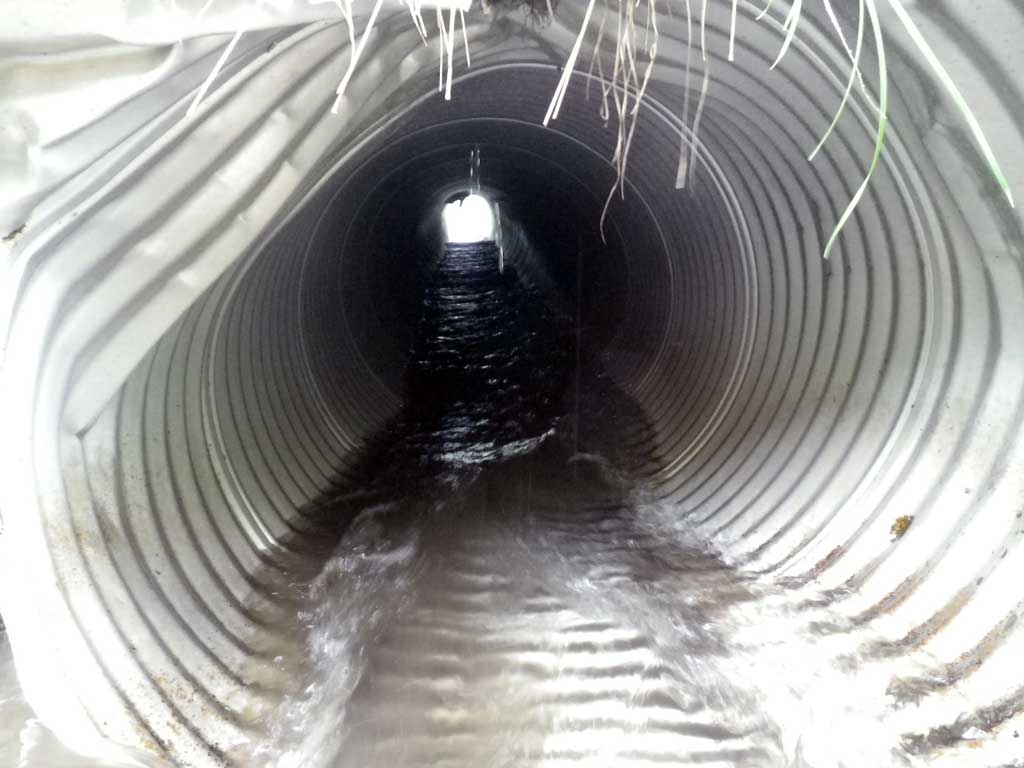
| ID: 1 | Structure Type: Circular pipe (Corrugated aluminum) | Fish Passage Rating: | |||||||||||||||||||||||||||||||||||||||||
|
|
|
|||||||||||||||||||||||||||||||||||||||||
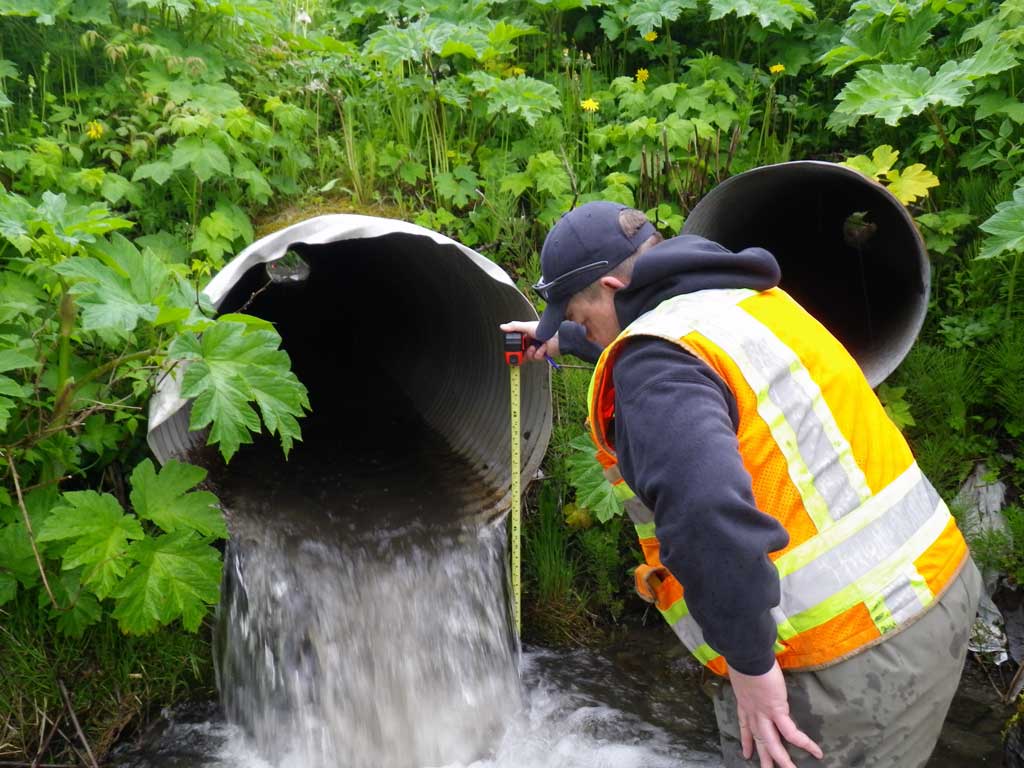
Comments: Some damage to inlet. |
|||||||||||||||||||||||||||||||||||||||||||
Stream Measurements
|
|
| Stream Width Type | Distance From Crossing (ft) |
Stream Width (ft) |
|---|---|---|
| Downstream ordinary high water | 40.0 | 5.80 |
| Downstream ordinary high water | 57.0 | 5.50 |
| Downstream ordinary high water | 72.0 | 7.30 |
Elevations
| Locator ID | Culvert Number |
River Distance (ft)1 |
Distance From Crossing (ft)2 |
Relative Elevation (ft) |
|---|---|---|---|---|
| Road Elev | 97.25 | |||
| D/S Grade Ctrl (Thalweg) | 0.00 | 87.89 | ||
| D/S Water Surface Elev | 0.00 | 88.26 | ||
| D/S Grade Ctrl (Thalweg) | 14.00 | 89.03 | ||
| D/S Water Surface Elev | 14.00 | 89.41 | ||
| D/S Tailcrest or 1st Thalweg | 28.00 | 88.89 | ||
| D/S Water Surface Elev | 28.00 | 89.60 | ||
| Max Pool Depth | 32.00 | 87.94 | ||
| Outlet Pool Water Elev | 32.00 | 89.59 | ||
| Outlet Culvert Top | 37.00 | 93.33 | ||
| Outlet Invert (Bottom of pipe) | 37.00 | 90.39 | ||
| D/S Water Surface Elev (Water surface at invert out) | 37.00 | 90.87 | ||
| Inlet Culvert Invert (Bottom of pipe) | 97.80 | 92.21 | ||
| Inlet Culvert Top | 97.80 | 95.34 | ||
| U/S Water Surface Elev (Water surface at invert in) | 97.80 | 92.86 | ||
| U/S Headwater | 99.80 | 93.11 | ||
| U/S Water Surface Elev | 151.80 | 93.12 | ||
| U/S Grade Ctrl (Thalweg) (End of riffle) | 151.80 | 92.73 |
Notes:
- River distance is measured continuously throughout the survey reach along the thalweg of the stream.
- Measured from each end of the crossing along the thalweg of the stream.
Fish Sampling Efforts
| Gear Type: Minnow Trap (A) | Trap Duration(h): 1.92 | |
| Comments: No fish caught or observed. | ||
| Gear Type: Minnow Trap (B) | Trap Duration(h): 1.92 | |
| Comments: No fish caught or observed | ||
Fish Observations
No fish observations occurred during this survey.
Photos
Questions or comments about this report can be directed to dfg.dsf.webmaster@alaska.gov