Fish Inventory Site FSNPR1603C07
Coordinates (dec. deg.): 69.22482°, -151.30717°
Legal Description: U002S003E36
Region: Arctic
Datum: WGS84
Quad Name / ITM: Umiat A-3
AWC Stream #:
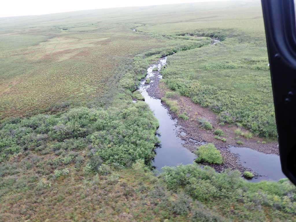
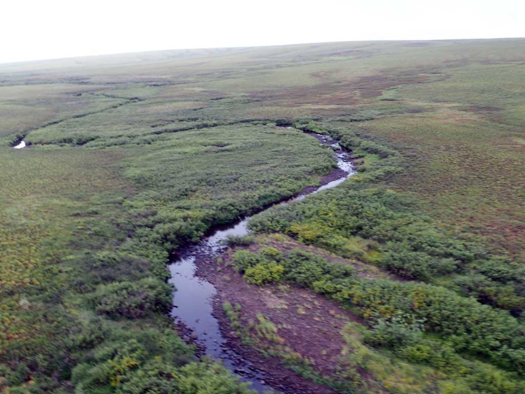
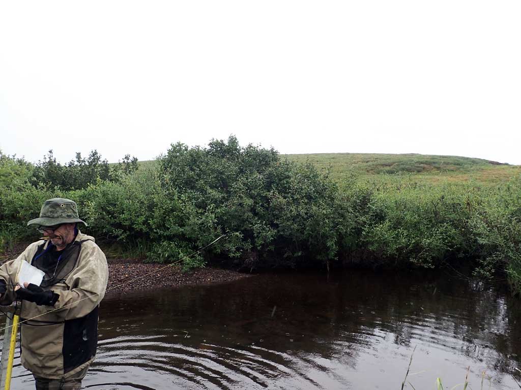
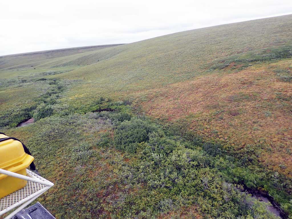
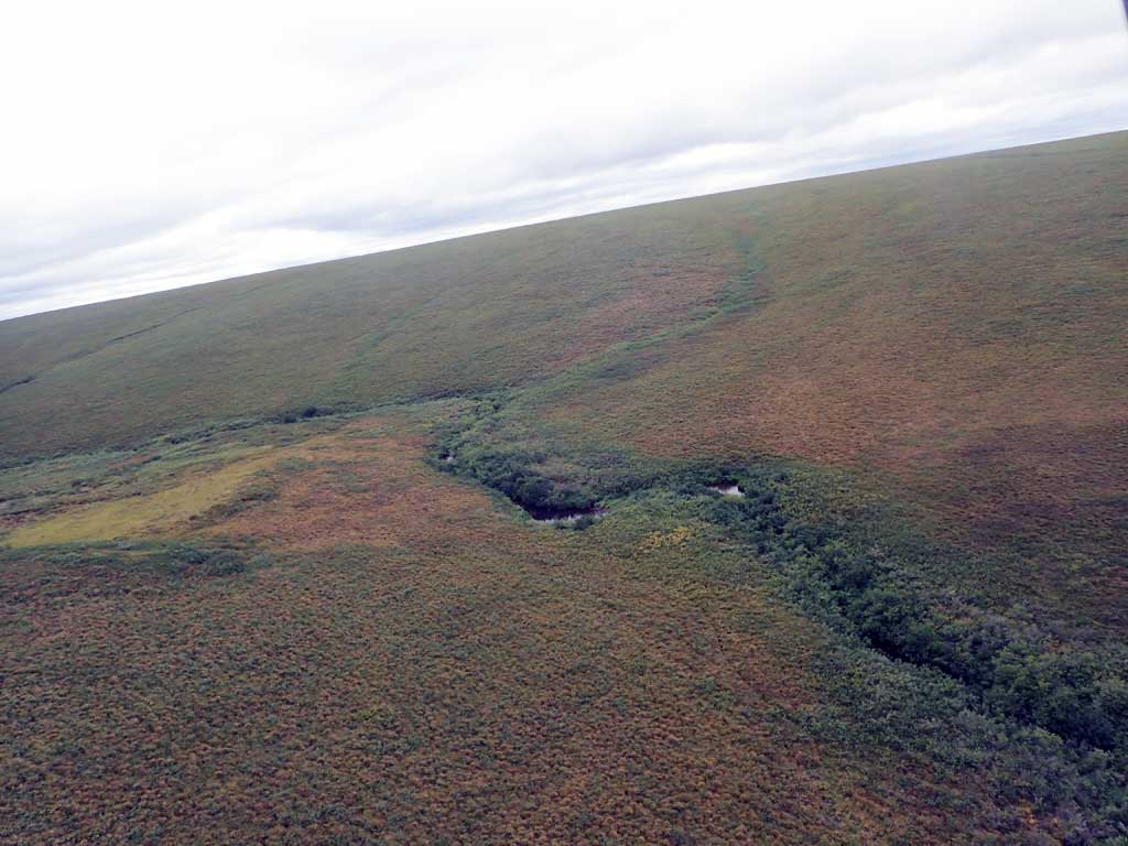
Stream Name: Unnamed stream
Elevation:
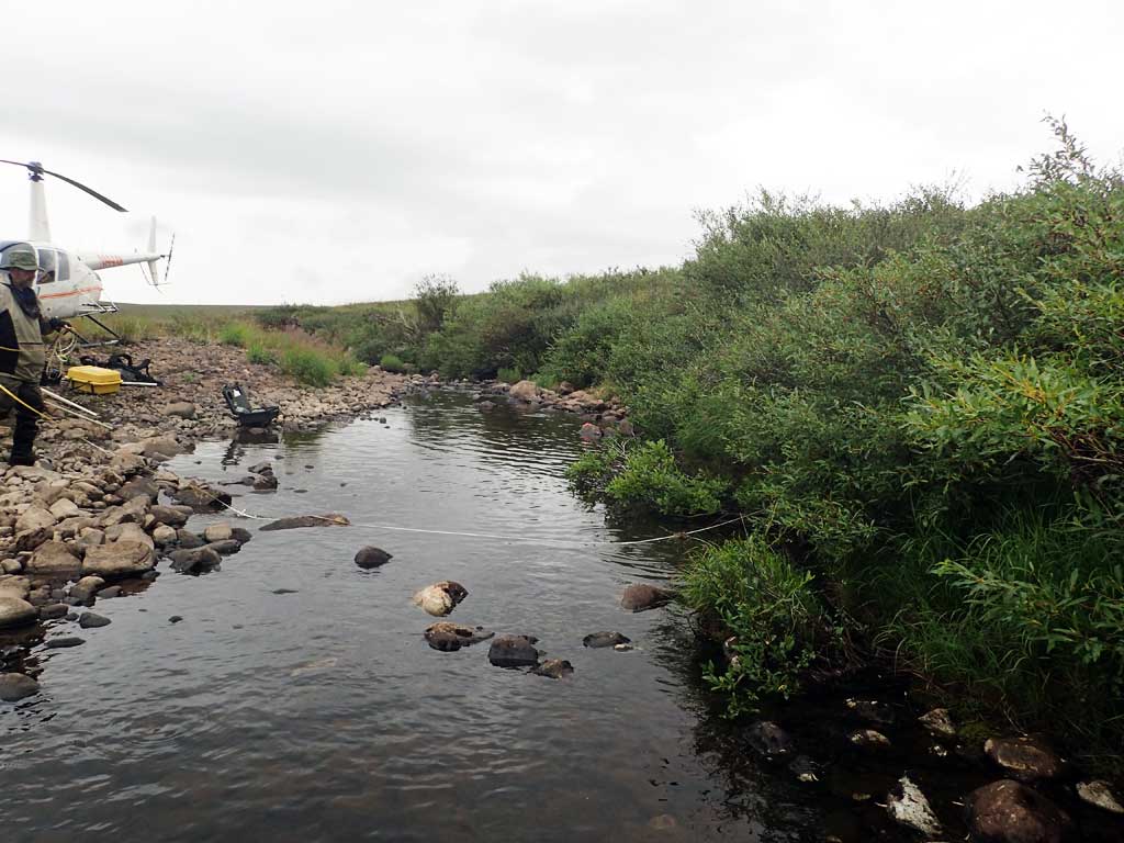
Site Comments: H193 Tributary of Chandler River
Survey FSNPR16-03C07
Observers: Raye Ann Neustel, J Johnson
Station Characteristics
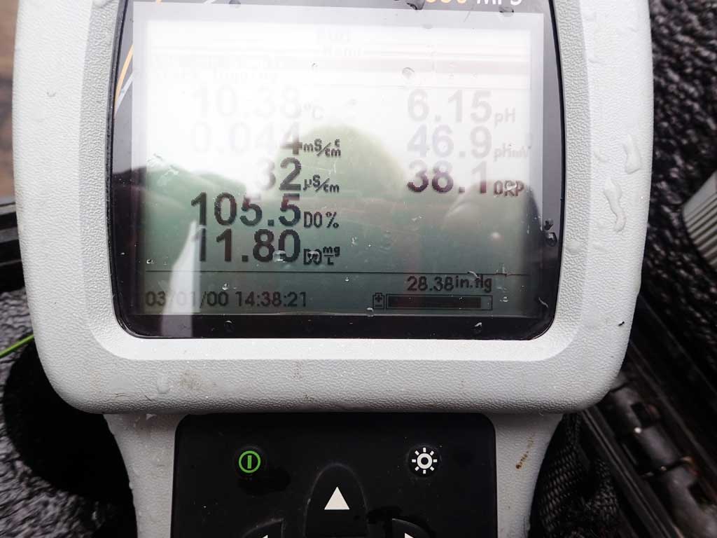
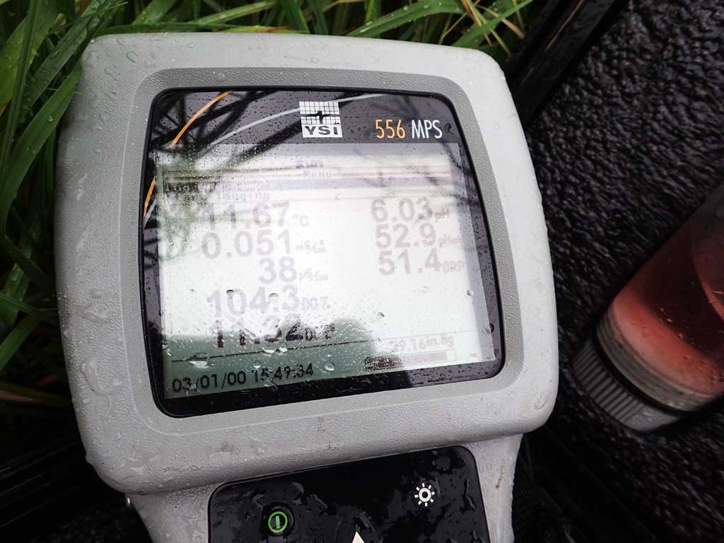
| Water Temperature: 11.67° C DO: 11.34 ppm | Conductivity: 36.0 μS/cm | Stream Stage: Low | |||||||||
| Water Color: Humic | Turbidity: 6.05 NTU / pH: 6.15 | Stream Gradient: 1.0% | |||||||||
| Qualitative Velocity: | 48 hr. Precipitation/Runoff: Moderate | ||||||||||
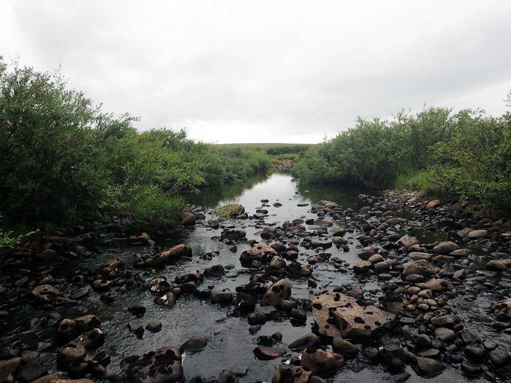
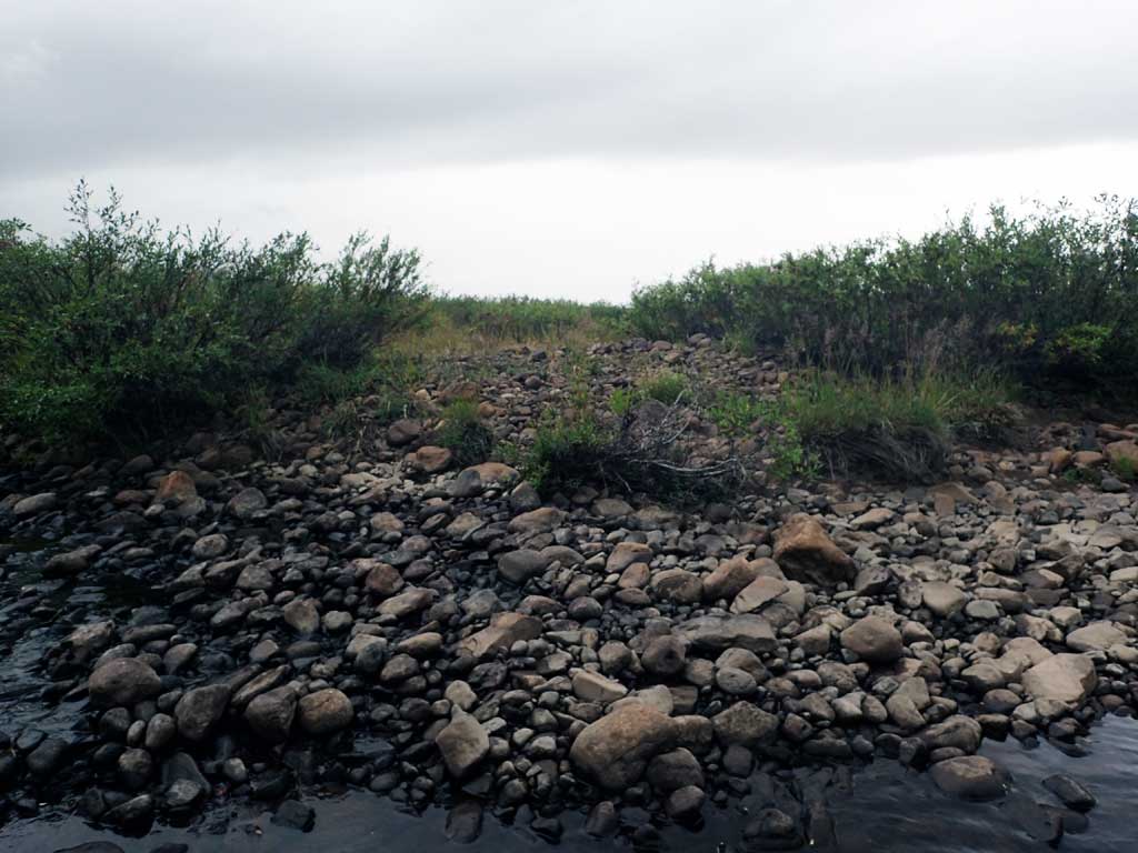
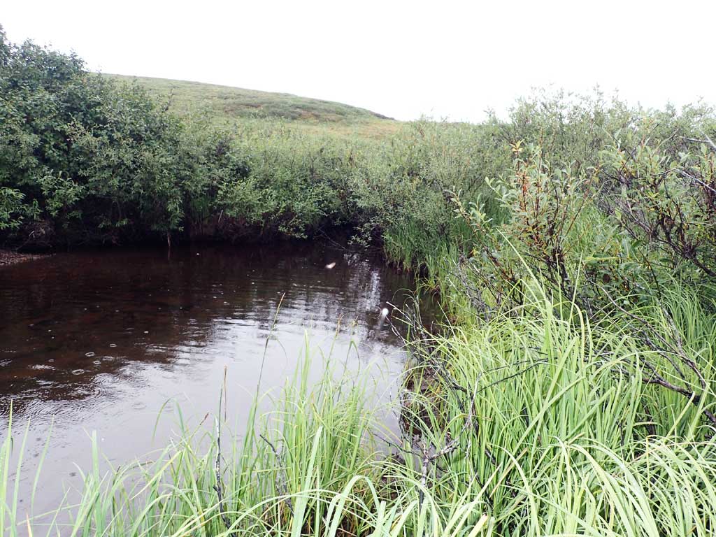
| Substrates: Gravel, Boulder, Organic | |||||||||||
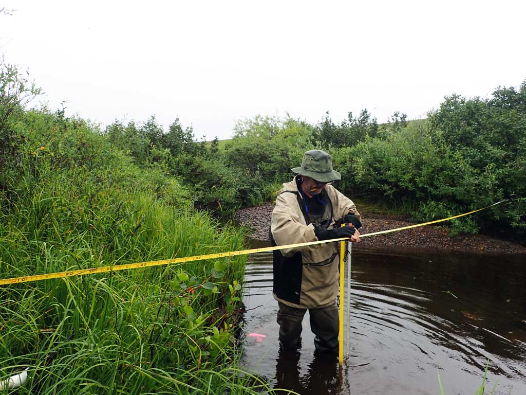
Channel Dimensions:
|
Rosgen Channel Classification: (C4) Low gradient, meandering, point-bar, riffle/pool, alluvial channels with broad, well-defined floodplains. | ||||||||||
| Visit Comments: Stream parallels winter trail | |||||||||||
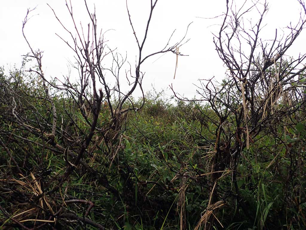
Vegetation Classification
| Left Bank | Right Bank | ||
|---|---|---|---|
| Distance From OHW(m) |
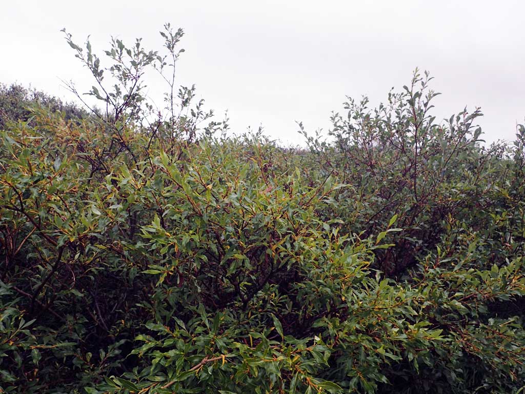
0-5 | Closed Tall Willow Shrub | Closed Tall Willow Shrub |
| 5-10 | Tussock Tundra | Tussock Tundra | |
| 10-20 | Tussock Tundra | Tussock Tundra | |
| 20-30 | Tussock Tundra | Tussock Tundra | |
Fish Sampling Effort
| Gear Type: Smith-Root LR-24 (A) | ||
| Channel Type: Main Channel (>50% of water flow) | ||
| Gear Type: Minnow Trap (B) | ||
| Channel Type: Main Channel (>50% of water flow) | ||
| Gear Type: Visual Observation, Ground (C) | ||
| Channel Type: Main Channel (>50% of water flow) | ||
Fish Observations
No fish were collected at this site.
Photos
Questions or comments about this report can be directed to dfg.dsf.webmaster@alaska.gov