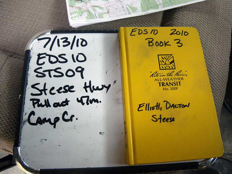
Fish Passage Site 40501758
Coordinates (dec. deg.): 65.21930°, -147.01068°
Legal Description: F005N004E31
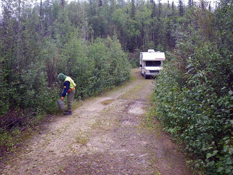
Region: Interior
Road Name: Steese Highway side road
Datum: WGS84
Quad Name / ITM: Livengood A-1
AWC Stream #:
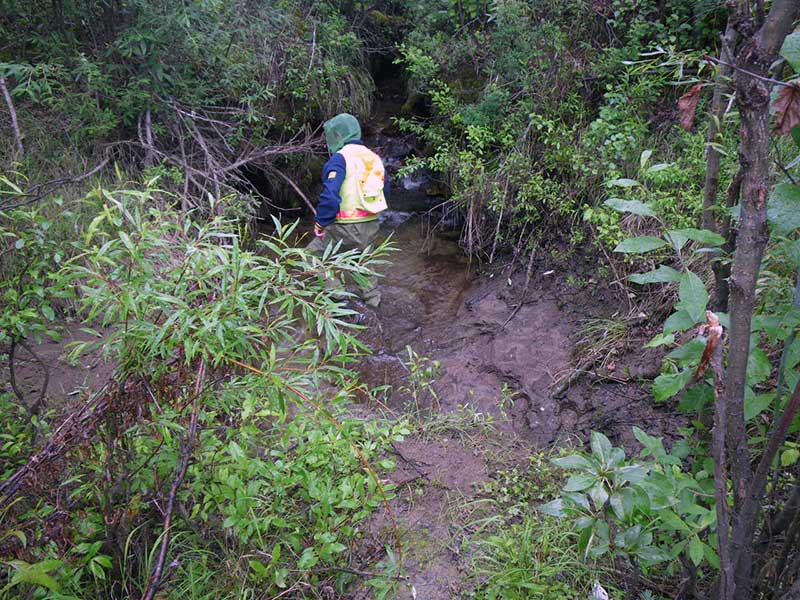
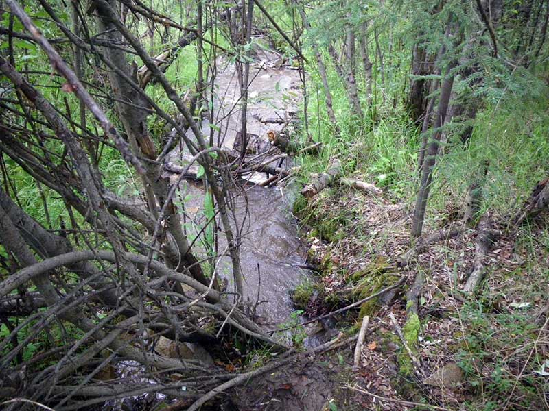
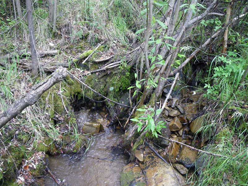
Stream Name: Camp Creek
Elevation:
Site Comments: Pullout 47 Mile
arrow to the right of the survey date below to choose a different report for this site.
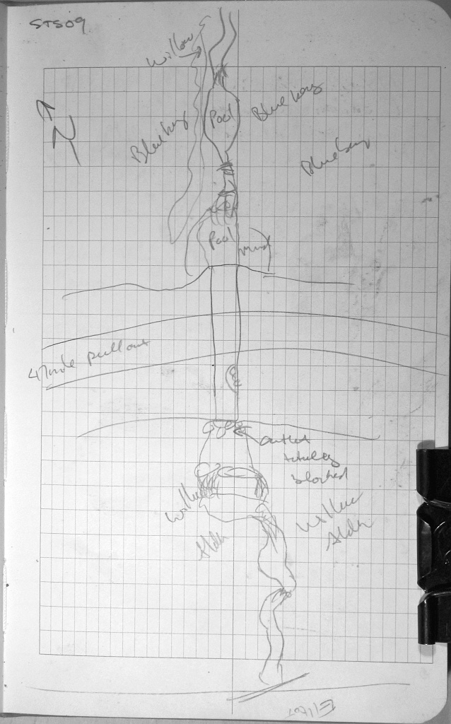
Survey EDS10-STS09
Observers: Mark Eisenman, Justin Leon
Overall Fish Passage Rating:
Tidal: No
Backwatered: No
Step Pools: No
Construction Year:
Site Observations:
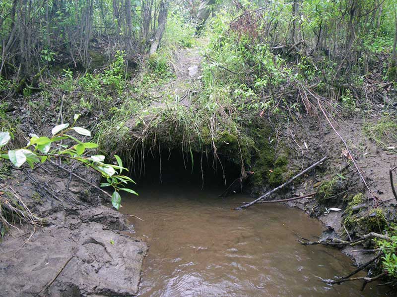
- Structural Problem
- Mechanical damage or joints parting
- Culvert sagging in middle
- Culvert is too short
- Road bank erosion
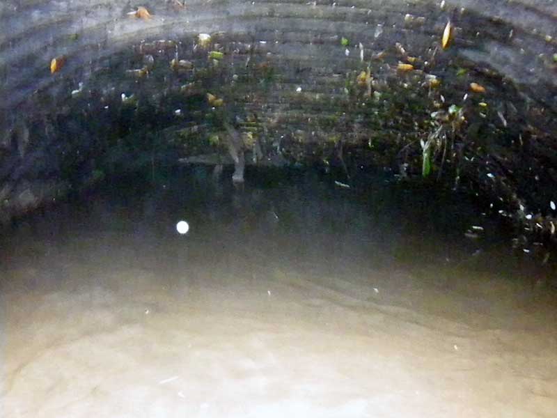
Comments: Pipe is in very poor condition. The inlet is bent in 1 foot and filled with sediment. The outlet could not be found. No stream widths were taken and no constriction ratio was calculated. No minnow traps were set out because the water was too shallow. No longitudinal profile was done because the outlet could not be found.
Culvert Measurements
| ID: 1 | Structure Type: Circular pipe (Structural steel plate) | Fish Passage Rating: | |||||||||||||||||||||||||||||||||||||||||
|
|
|
|||||||||||||||||||||||||||||||||||||||||
Culvert Observations:
|
|||||||||||||||||||||||||||||||||||||||||||
Stream Measurements
|
|
No stream width data available.
Elevations
No elevation data available.
Fish Sampling Efforts
| Gear Type: None (A) | ||
| Comments: No traps set, no fish observed. | ||
Fish Observations
No fish observations occurred during this survey.
Photos
Questions or comments about this report can be directed to dfg.dsf.webmaster@alaska.gov