Fish Passage Site 40401741
Coordinates (dec. deg.): 65.48595°, -144.64592°
Legal Description: F008N015E27
Region: Interior
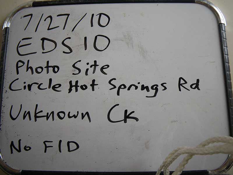
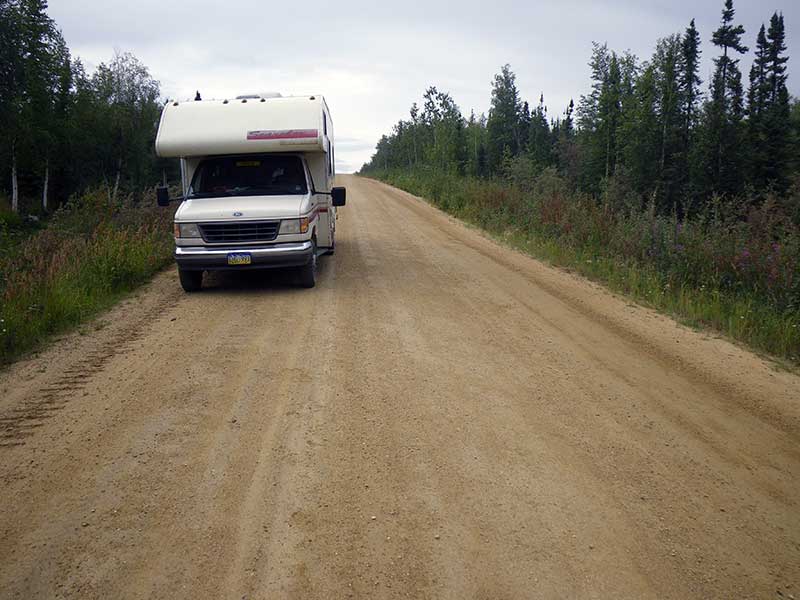
Road Name: Circle Hot Springs Road
Datum: WGS84
Quad Name / ITM: Circle B-2
AWC Stream #:
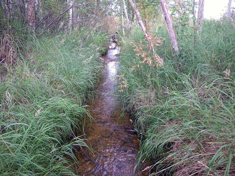
Stream Name: Hot Springs Creek
Elevation:
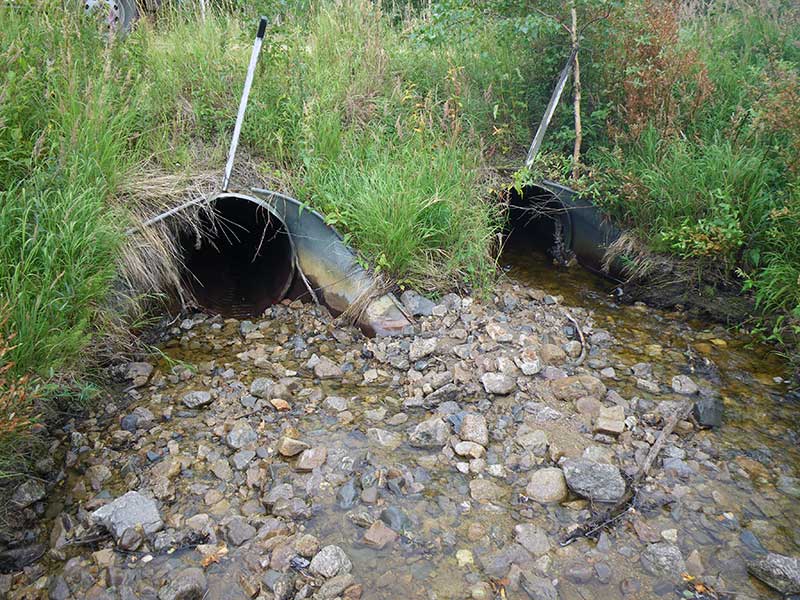
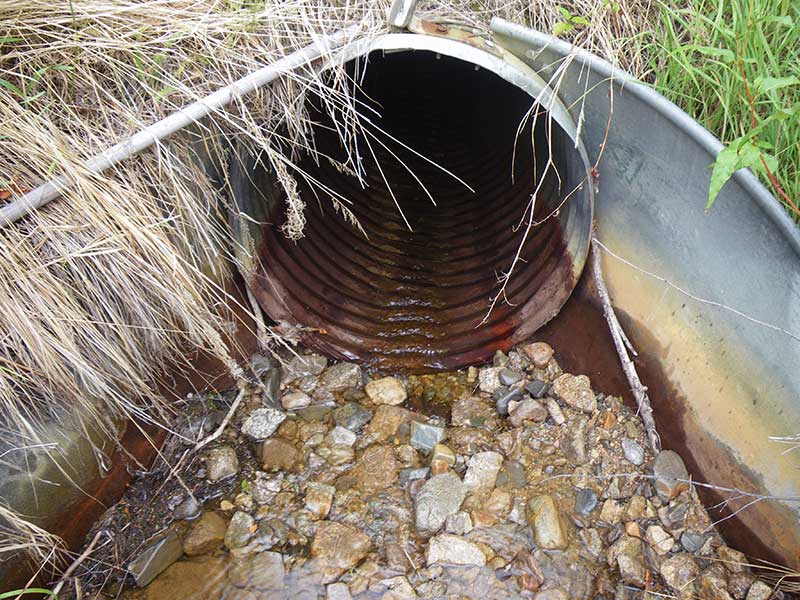
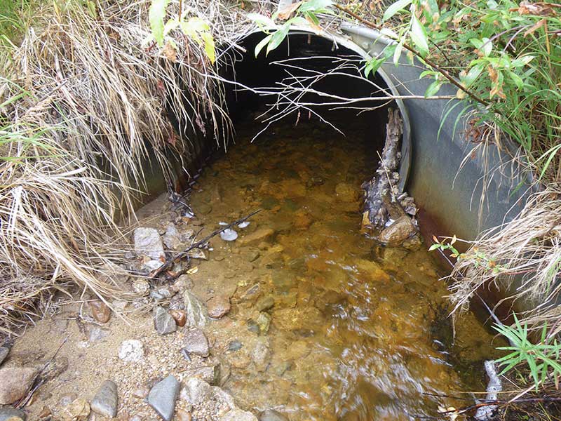
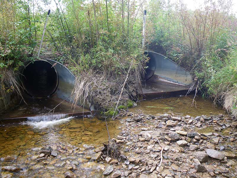
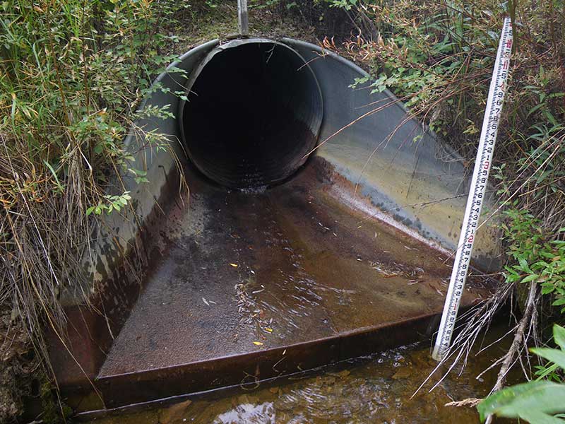
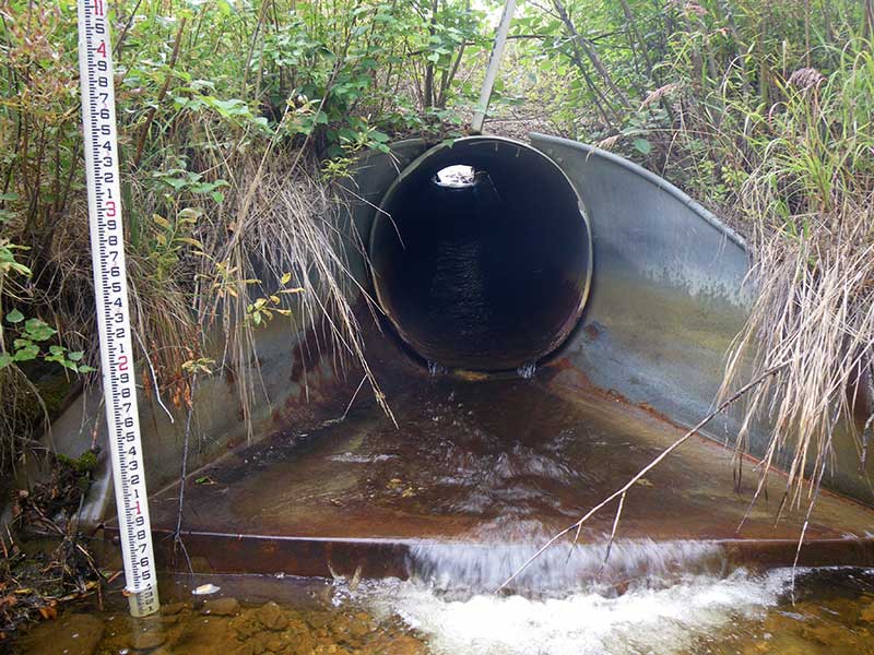
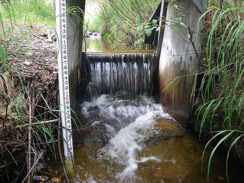
Site Comments: There is a 2 foot man-made dam just downstream of this culvert. There are two pipes and both have red outfall heights. MP 8. DOT#s - 416+66, 415+75
arrow to the right of the survey date below to choose a different report for this site.
Survey EDS10-PS010
Observers: Ben Histand, Justin Leon
Overall Fish Passage Rating:
Tidal:
Backwatered:
Step Pools:
Construction Year:
Comments: There is a 2 foot man-made dam just downstream of this culvert. There are two pipes and both have red outfall heights. MP. 8
Culvert Measurements
No measurement data available.
Stream Measurements
|
|
No stream width data available.
Elevations
No elevation data available.
Fish Sampling Efforts
No fish sampling occurred during this survey.
Fish Observations
No fish observations occurred during this survey.
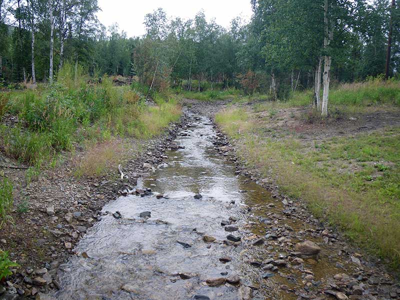
Photos
Questions or comments about this report can be directed to dfg.dsf.webmaster@alaska.gov