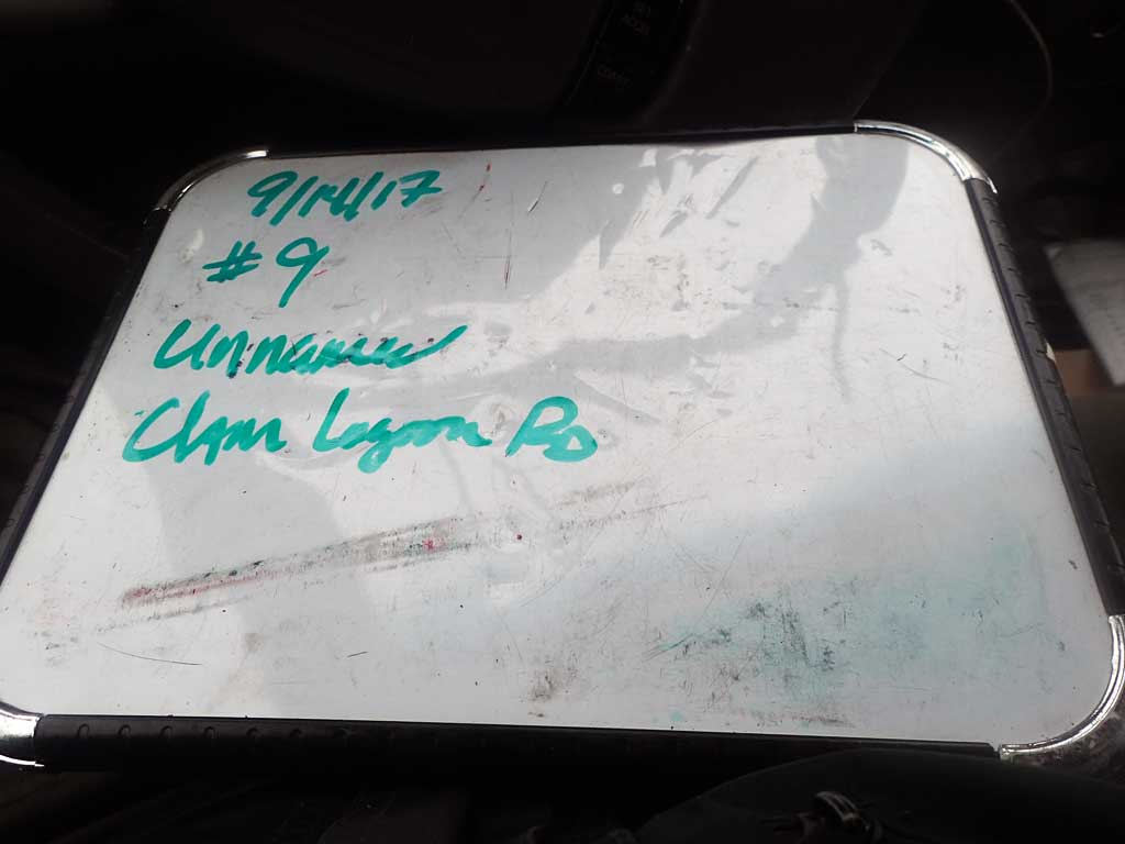
Fish Passage Site 30103680
Coordinates (dec. deg.): 51.92575°, -176.58592°
Legal Description: S095S194W19
Region: Southwest
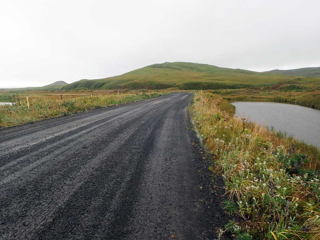
Road Name: Clam Lagoon Road
Datum: NAD83
Quad Name / ITM: Adak C-2
AWC Stream #:
Stream Name: Unnamed
Elevation:
Site Comments: None
Survey ADAK17-C9
Observers: Mark Eisenman, Jeanette Alas
Overall Fish Passage Rating:
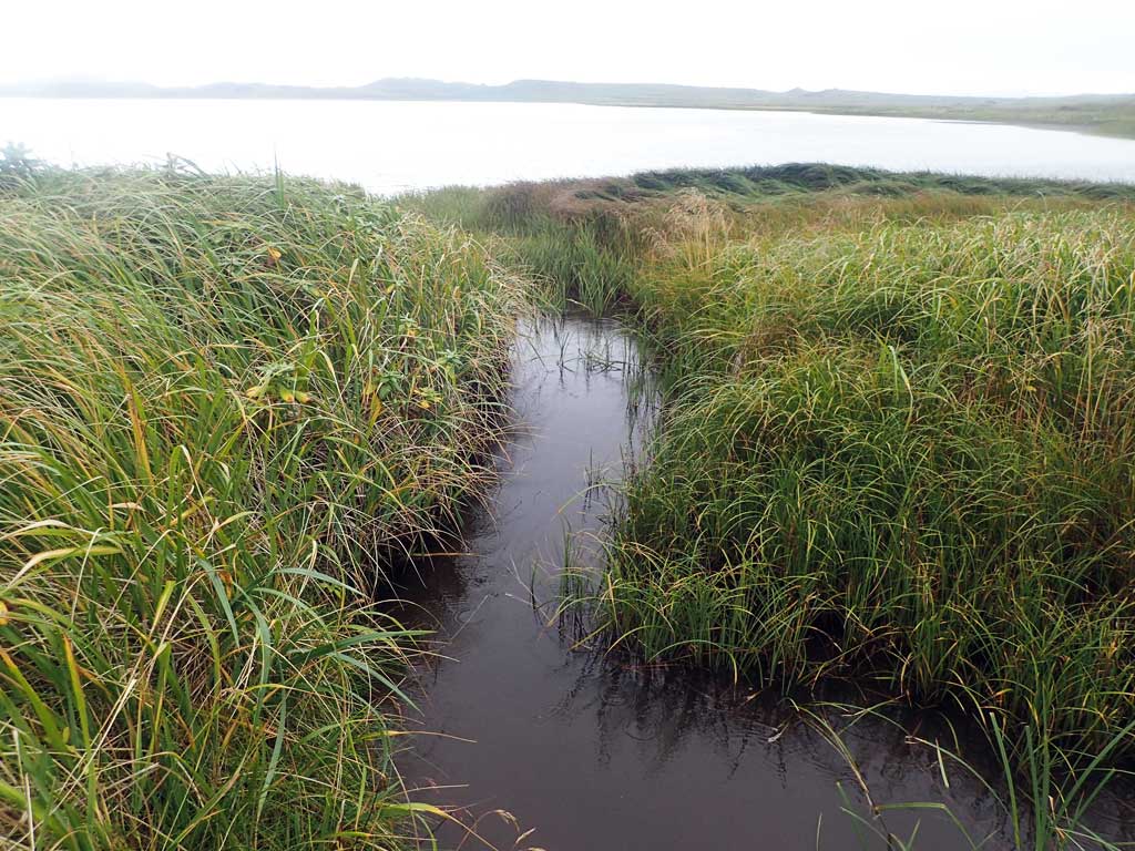
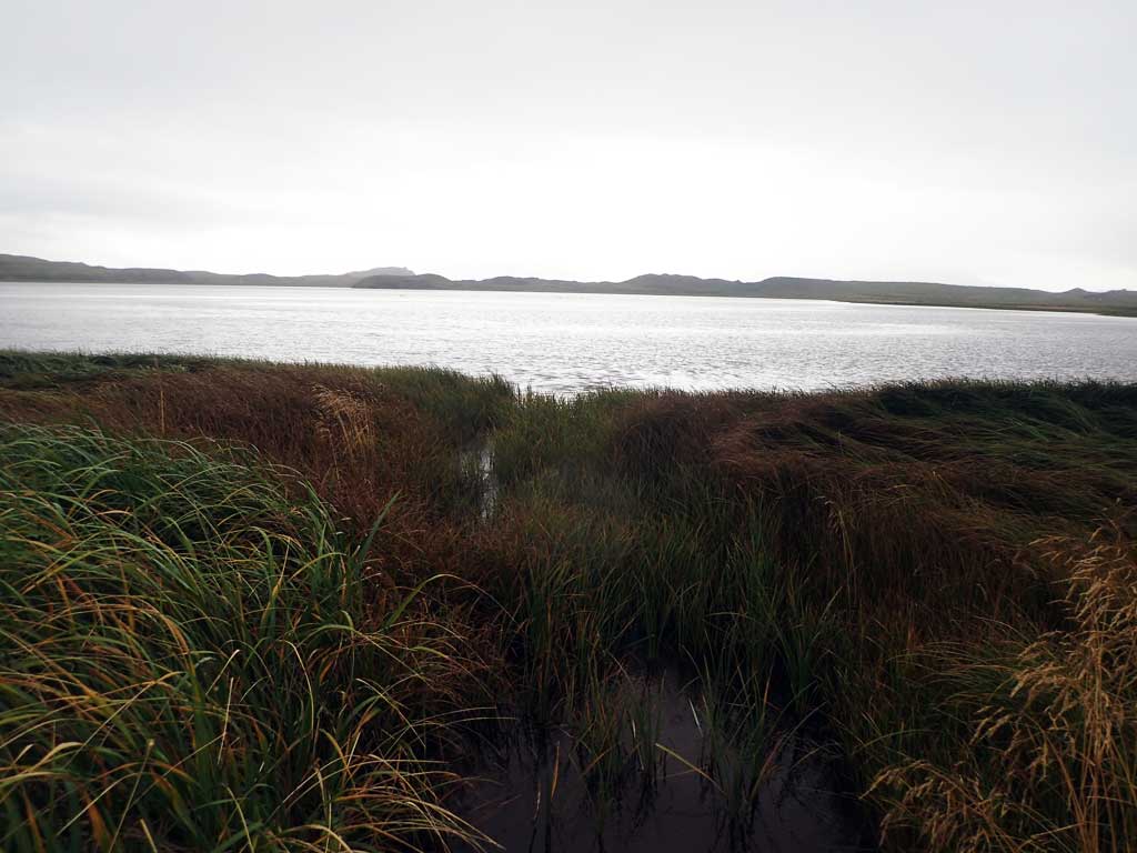
Tidal: Yes
Backwatered: No
Step Pools: No
Construction Year:
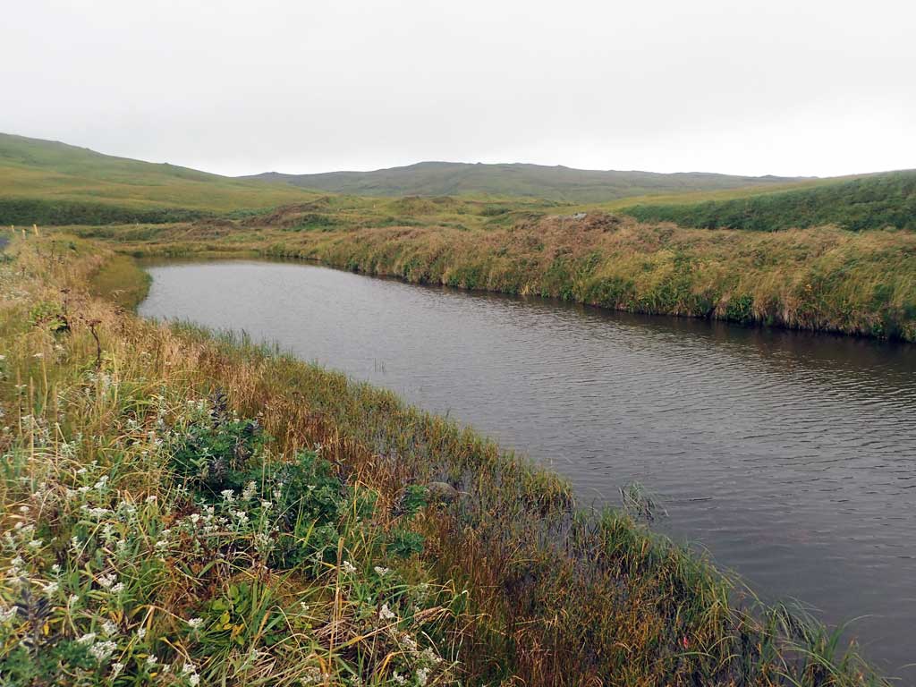
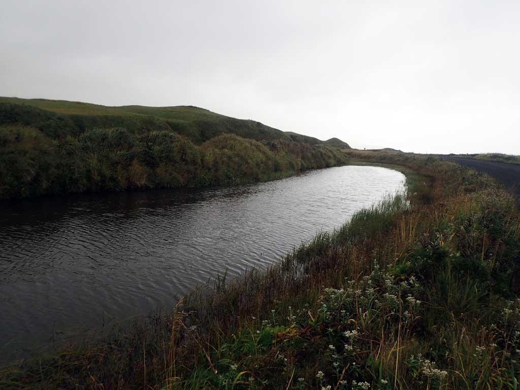
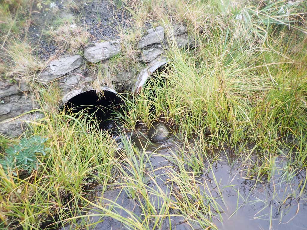
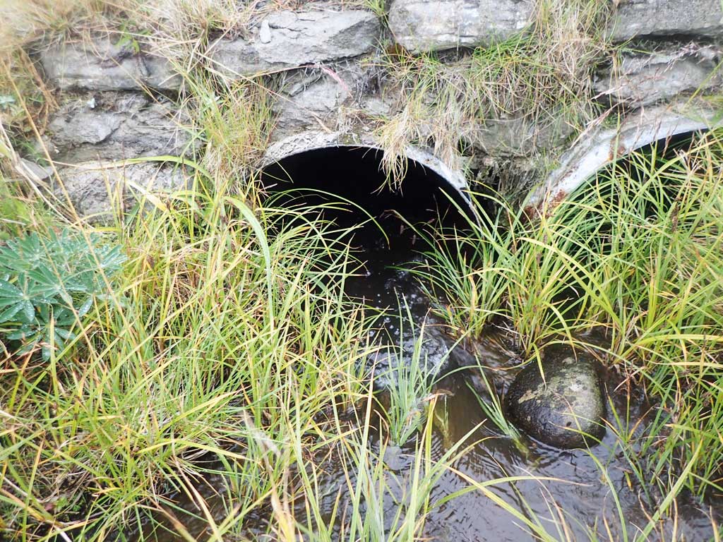
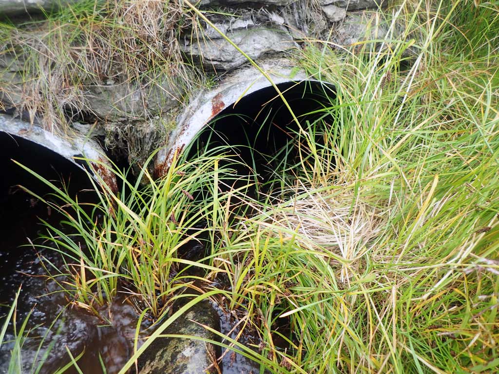
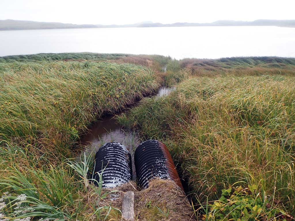
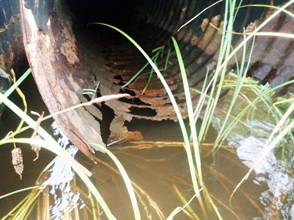
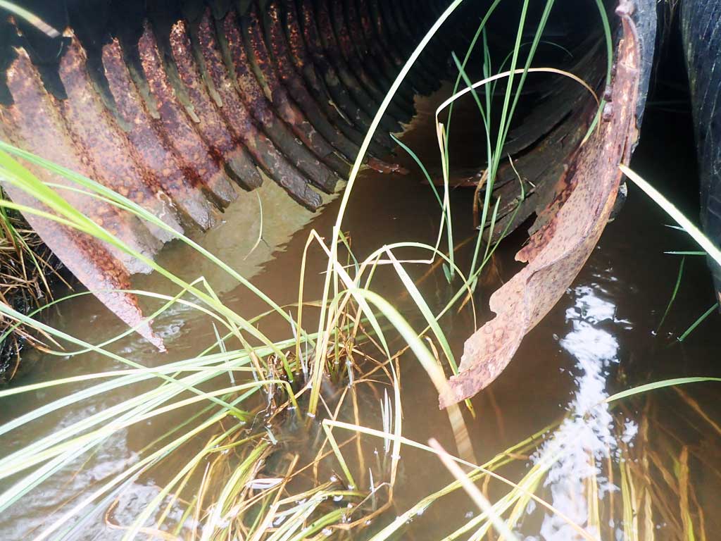
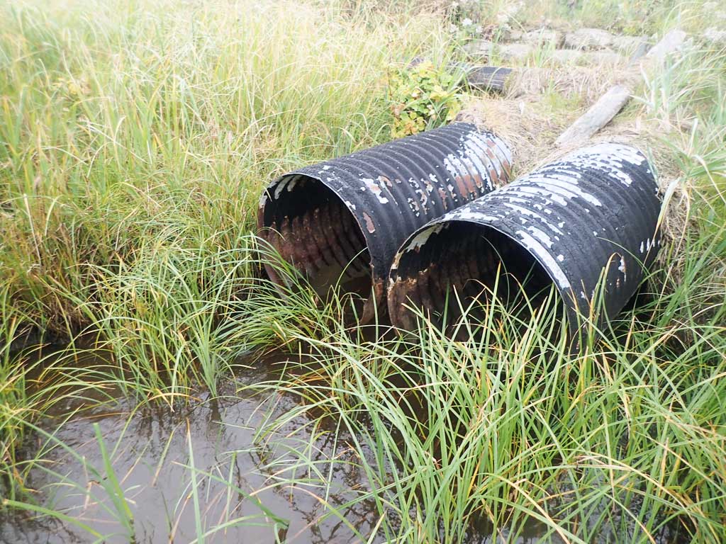
Comments: This information was gathered as part of the joint reconnaissance level project between the ADF&G Habitat Division and the Fish Passage Assessment Project on Adak Island. Due to time constraints full site assessments were not conducted, but base line information was collected. Ponded upstream, empties out into Clam Lagoon directly downstream.
Culvert Measurements
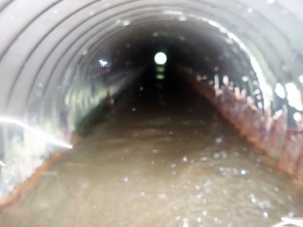
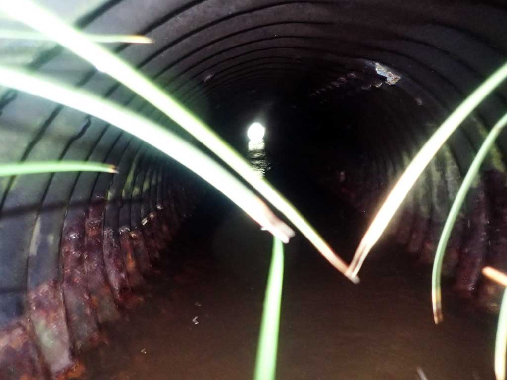
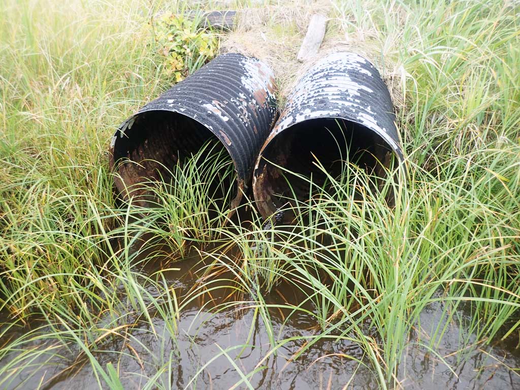
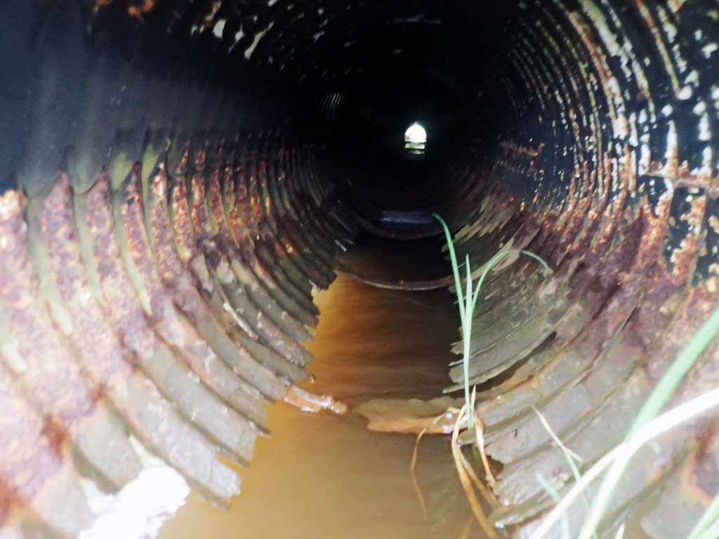
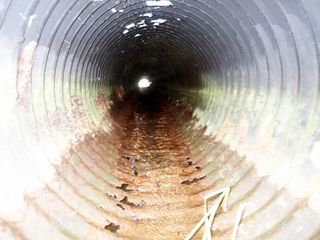
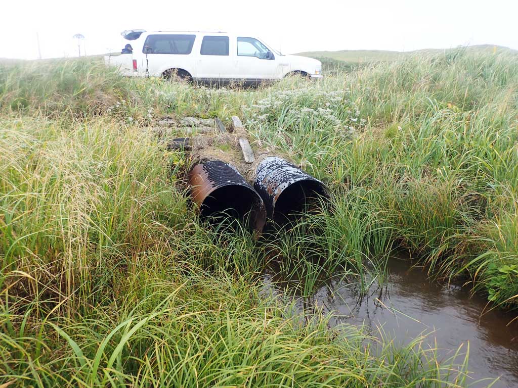
| ID: 1 | Structure Type: Circular pipe (Corrugated steel) | Fish Passage Rating: | |||||||||||||||||||||||||||||||||||||||||
|
|
|
|||||||||||||||||||||||||||||||||||||||||
Comments: Culvert bottom rusted out at outlet. |
|||||||||||||||||||||||||||||||||||||||||||
Stream Measurements
|
|
No stream width data available.
Elevations
No elevation data available.
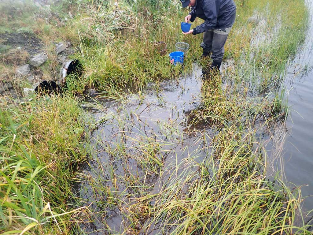
Fish Sampling Efforts
| Gear Type: Minnow Trap (A) | Trap Duration(h): 23.5 | |
Fish Observations
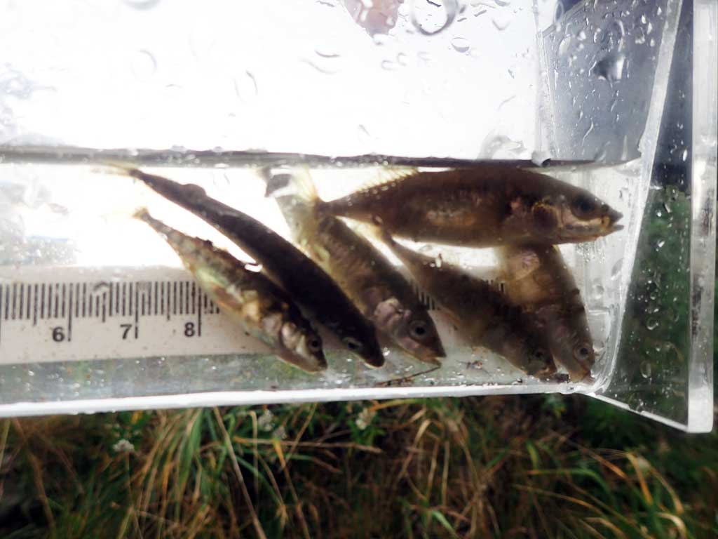
| Species: threespine stickleback | Life History: Unknown | ||
| Total Fish Observed: 34 | Fish Measured: | Fork Lengths (mm) Min: Max: Mean: | |
| Collected/Observed by Gear Type: Upstream Minnow Trap (34) | |||
Photos
Questions or comments about this report can be directed to dfg.dsf.webmaster@alaska.gov