Fish Passage Site 30103679
Coordinates (dec. deg.): 51.89553°, -176.64332°
Legal Description: S096S195W02
Region: Southwest
Road Name:
Datum: NAD83
Quad Name / ITM: Adak C-2
AWC Stream #: 306-70-10180
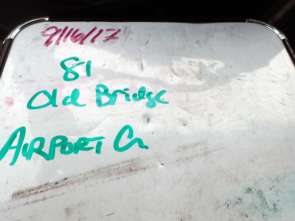
Stream Name: Airport Creek
Elevation:
Site Comments: None
Survey ADAK17-C81
Observers: Mark Eisenman, Jeanette Alas
Overall Fish Passage Rating:
Tidal:
Backwatered:
Step Pools:
Construction Year:
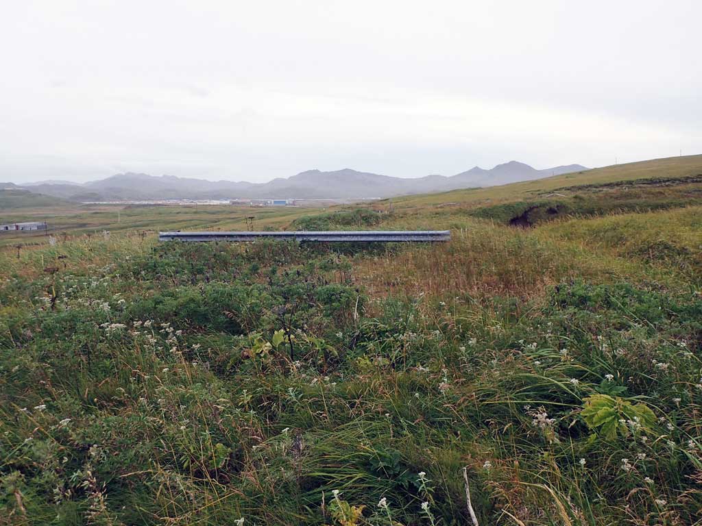
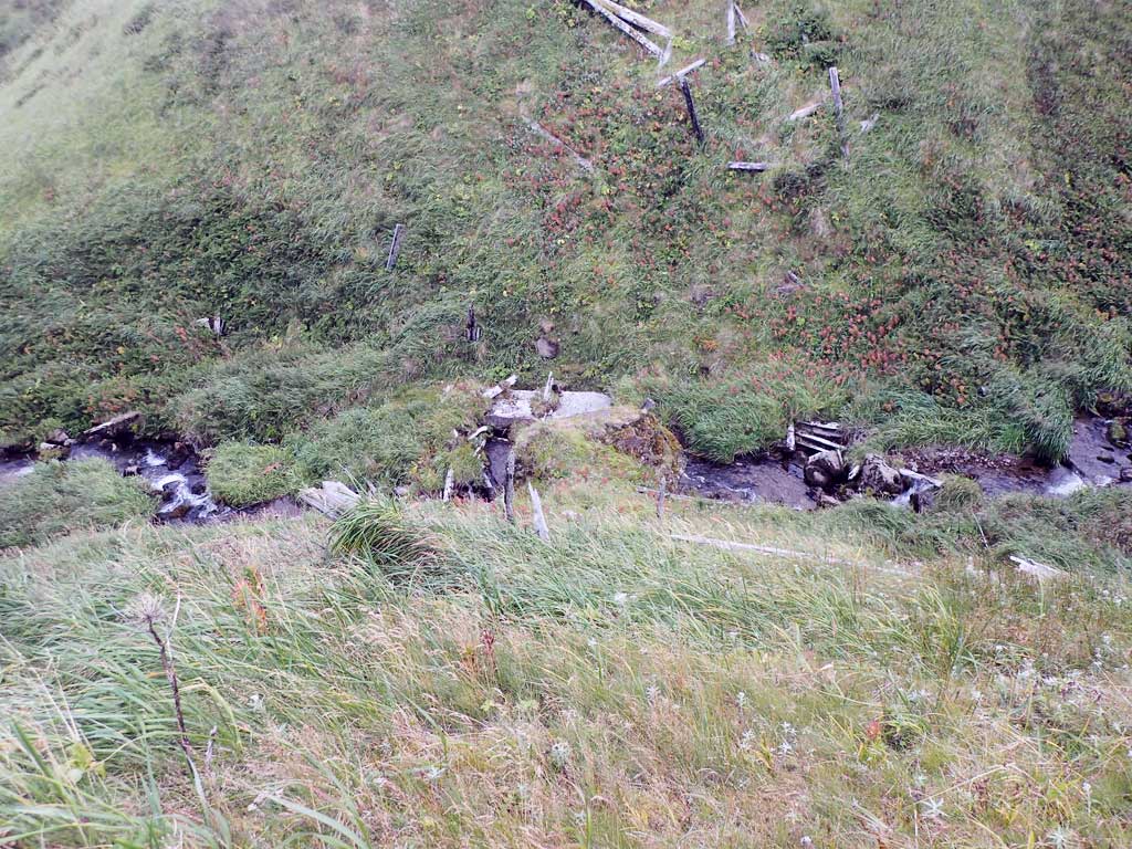
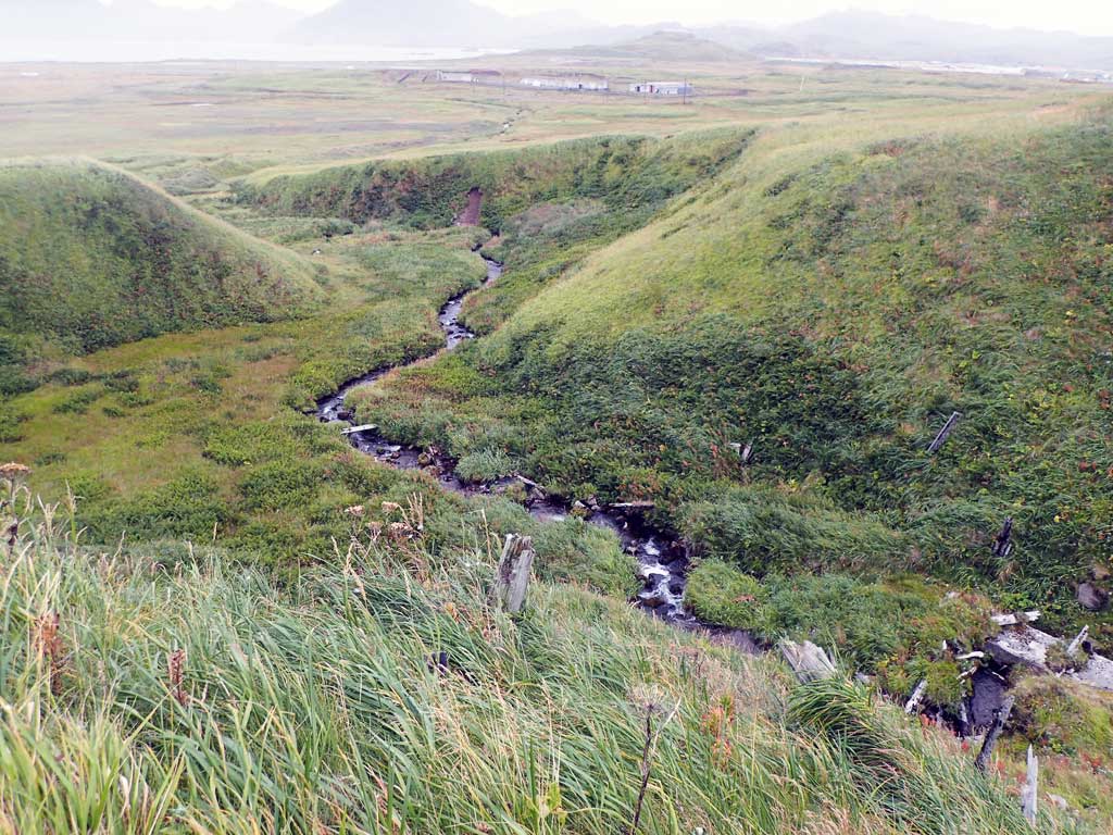
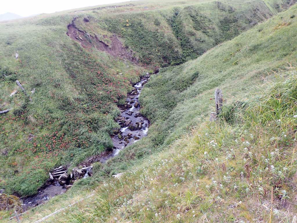
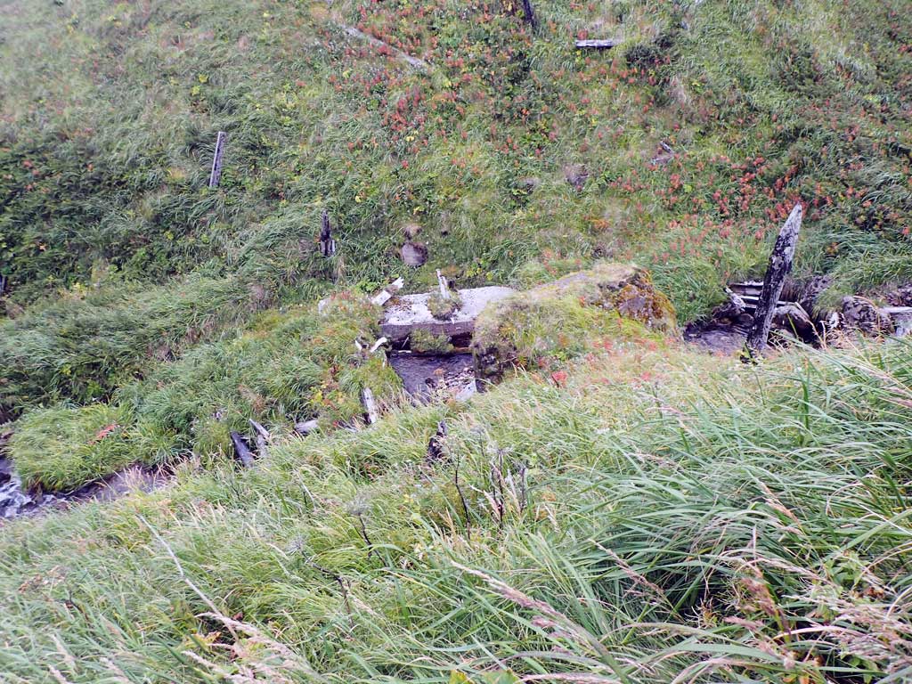
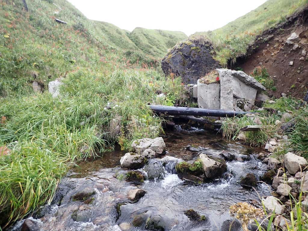
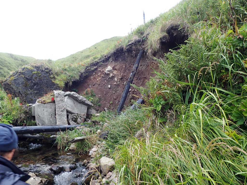
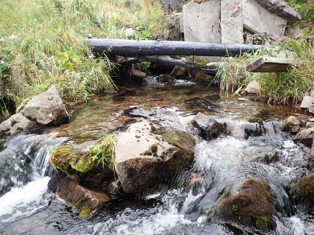
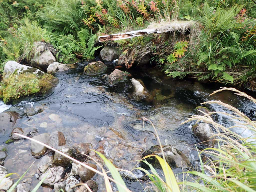
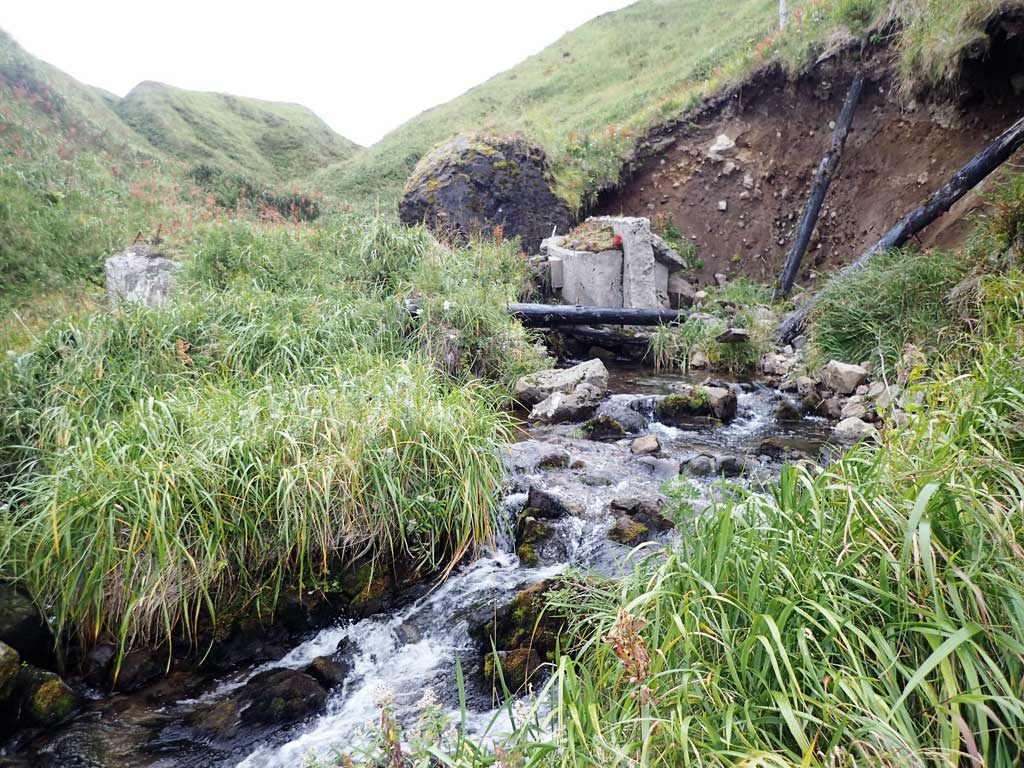
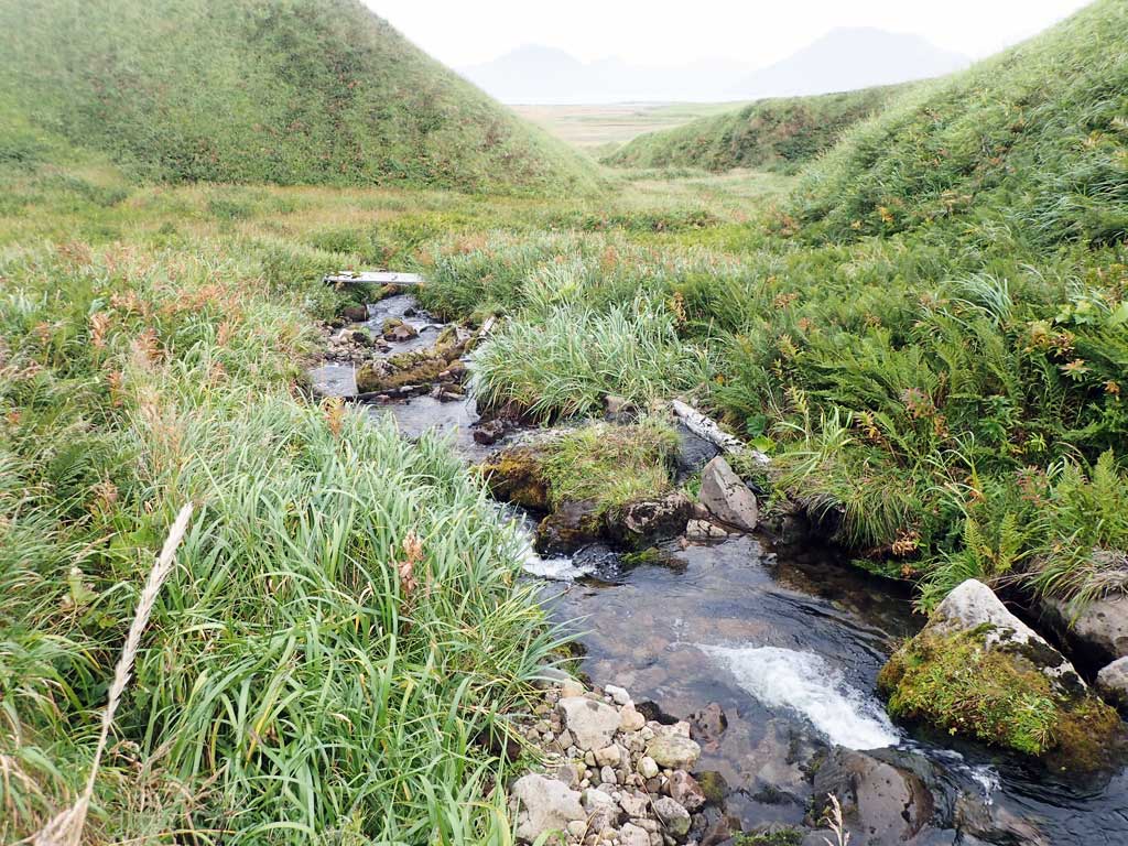
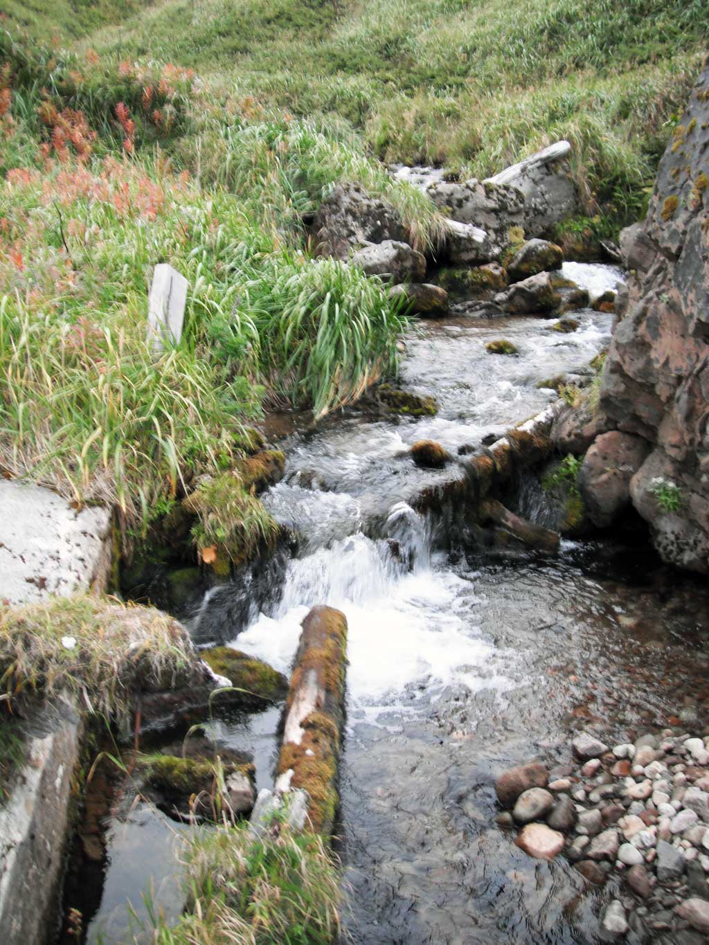
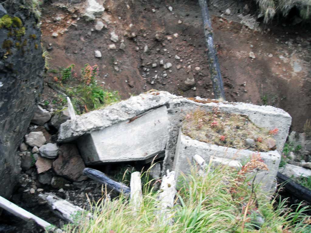
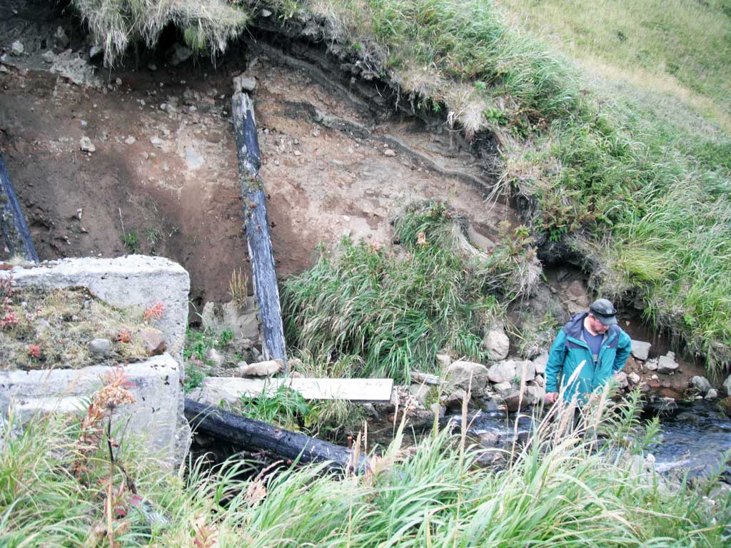
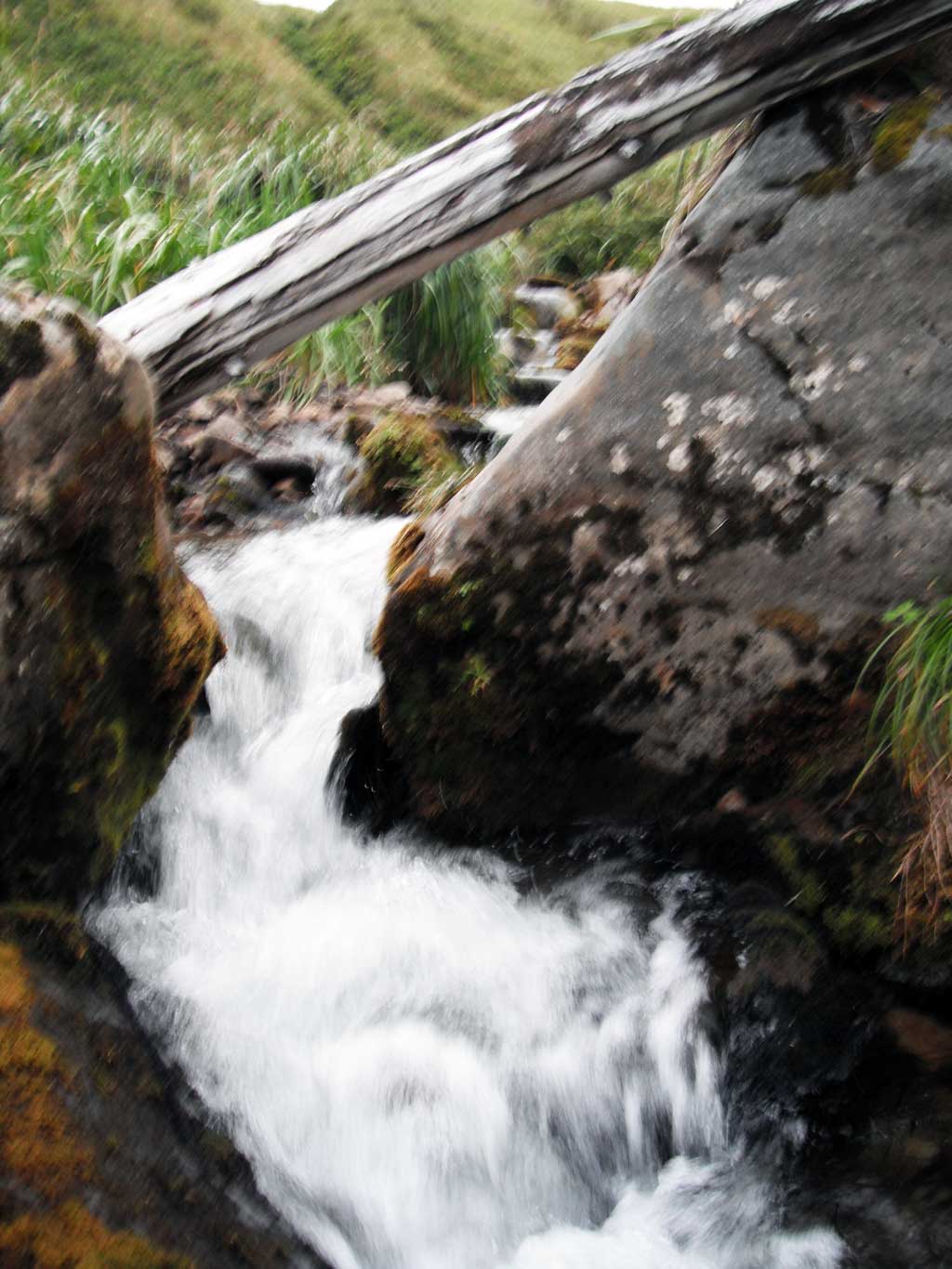
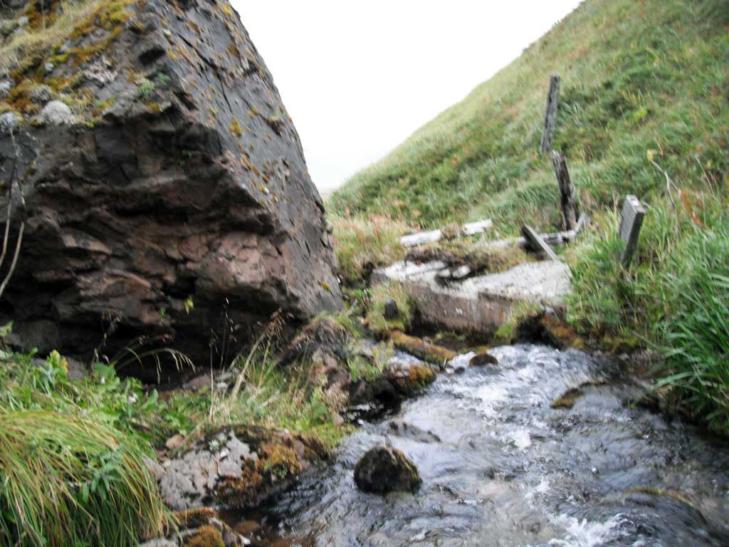
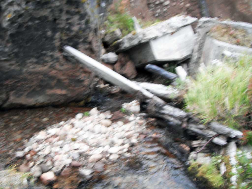
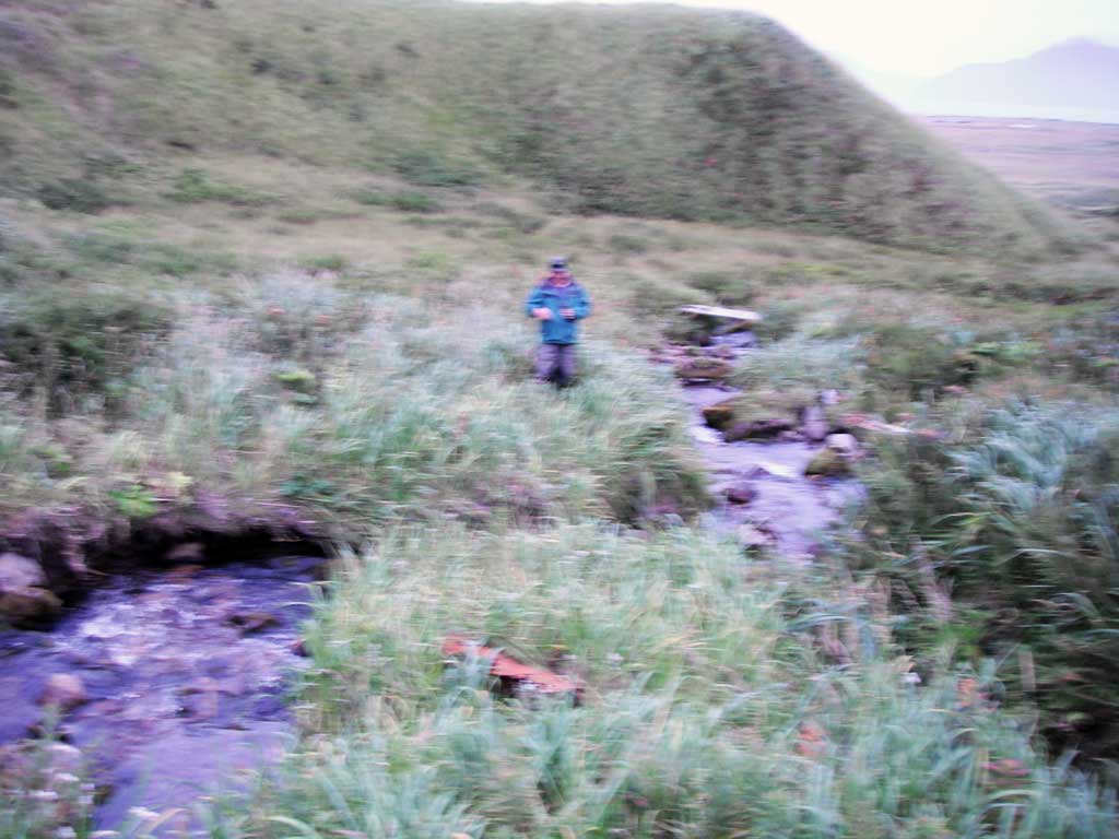
Comments: This information was gathered as part of the joint reconnaissance level project between the ADF&G Habitat Division and the Fish Passage Assessment Project on Adak Island. Due to time constraints full site assessments were not conducted, but base line information was collected. This site is the site of an old bridge crossing. It is currently the up extent of anadromy for Airport Creek. The bridge has been removed, but the old bridge foundations have collapsed and created a fish passage barrier. Adult pinks were observed directly below the barrier, but none were seen above.
Culvert Measurements
No measurement data available.
Stream Measurements
|
|
No stream width data available.
Elevations
No elevation data available.
Fish Sampling Efforts
| Gear Type: Visual Observation, Ground (A) | ||
Fish Observations
| Species: adult spawning pink salmon | Life History: Anadromous | ||
| Total Fish Observed: 8 | Fish Measured: | Fork Lengths (mm) Min: Max: Mean: | |
| Collected/Observed by Gear Type: Downstream Visual Observation, Ground (8) | |||
| Comments: 10 adult pink salmon counted in pool directly downstream from barrier. | |||
Photos
Questions or comments about this report can be directed to dfg.dsf.webmaster@alaska.gov