Fish Passage Site 30103673
Coordinates (dec. deg.): 51.89691°, -176.65131°
Legal Description: S095S195W35
Region: Southwest
Road Name: Old Military Road
Datum: NAD83
Quad Name / ITM: Adak C-2
AWC Stream #:
Stream Name: Unnamed
Elevation:
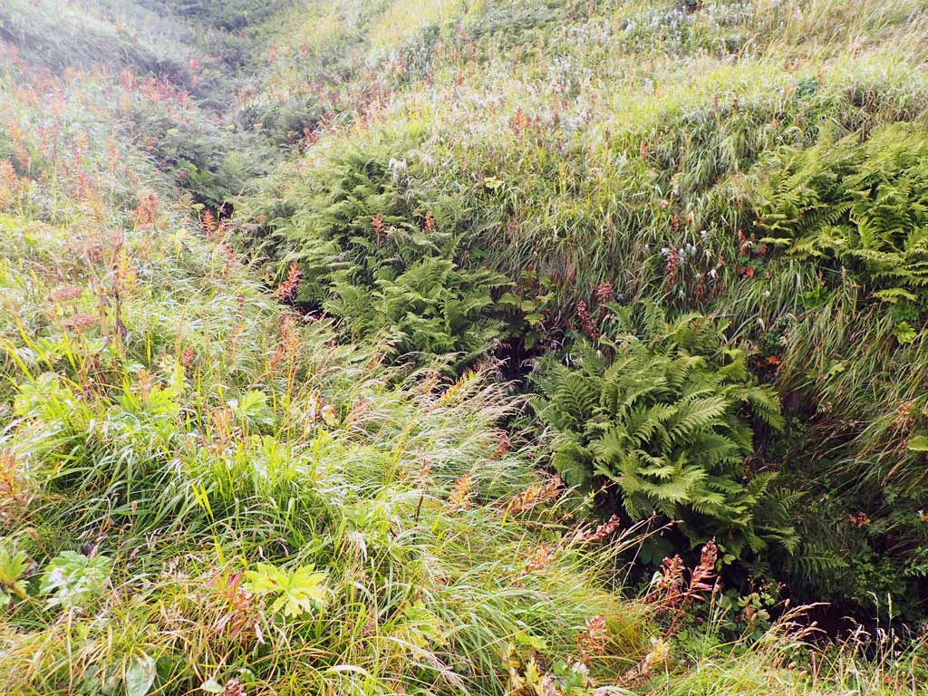
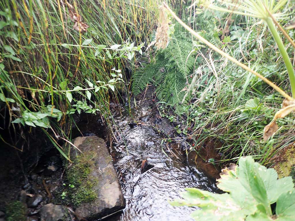
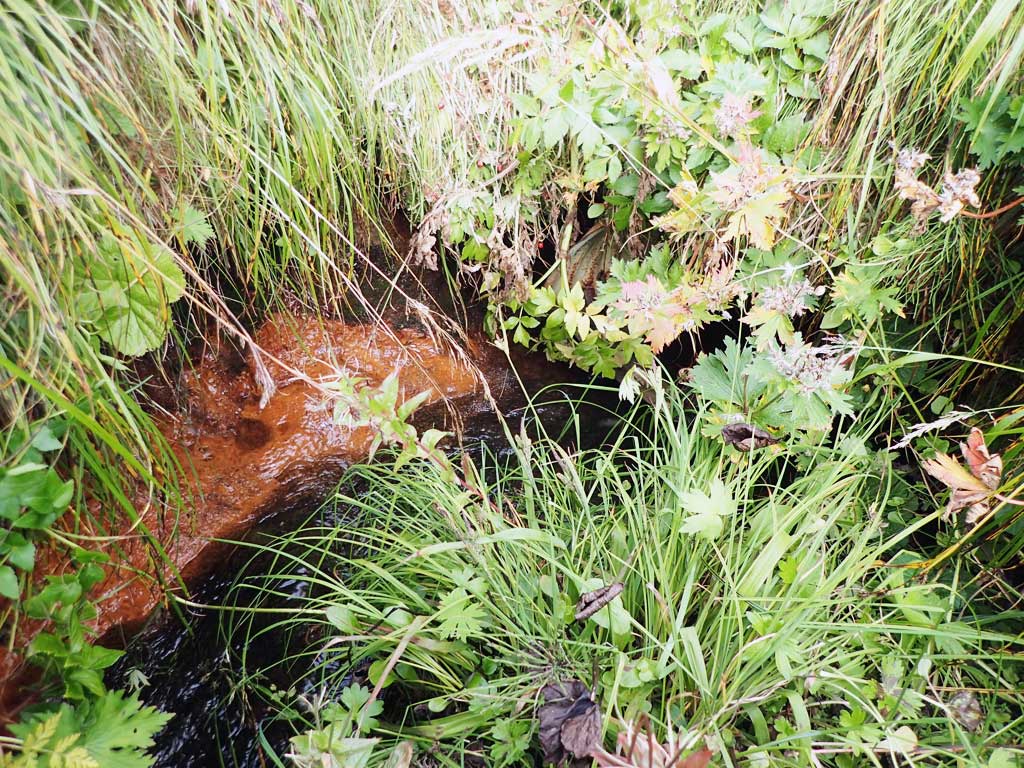
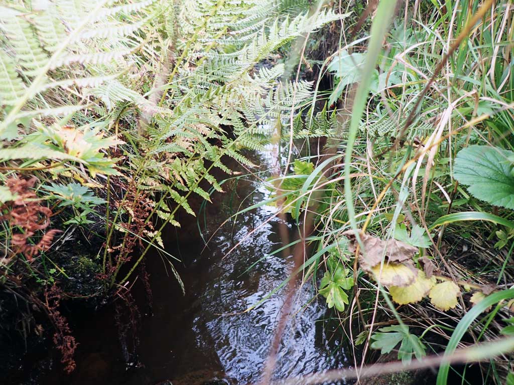
Site Comments: Tributary to Airport Creek, site is above documented anadromy.
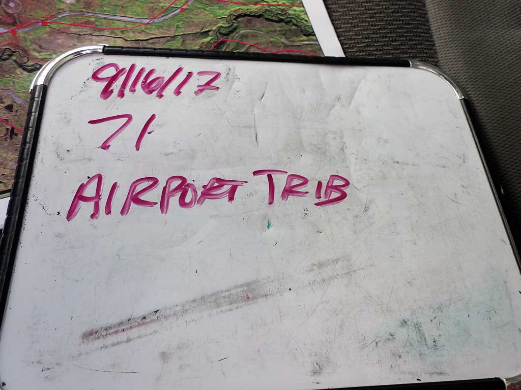
Survey ADAK17-C71
Observers: Mark Eisenman, Jeanette Alas
Overall Fish Passage Rating:
Tidal: No
Backwatered: No
Step Pools: No
Construction Year:
Site Observations:
- Outfall height red
- Structural Problem
- Mechanical damage or joints parting
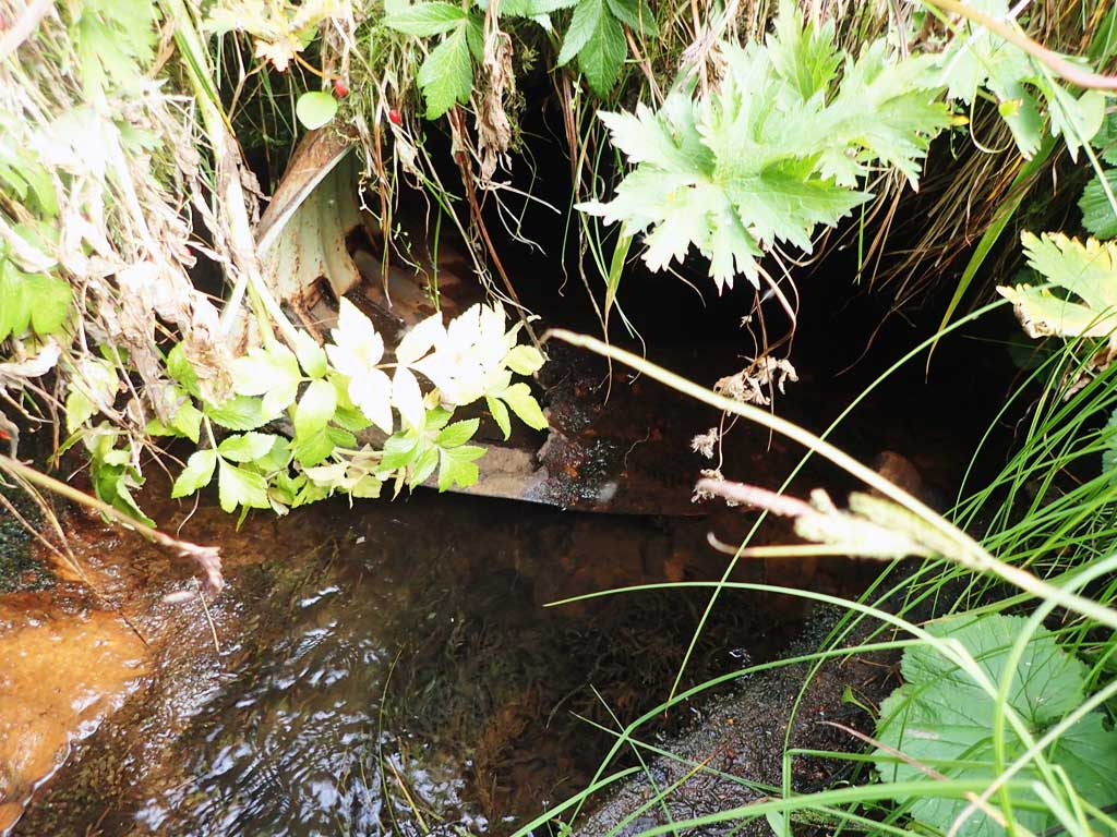
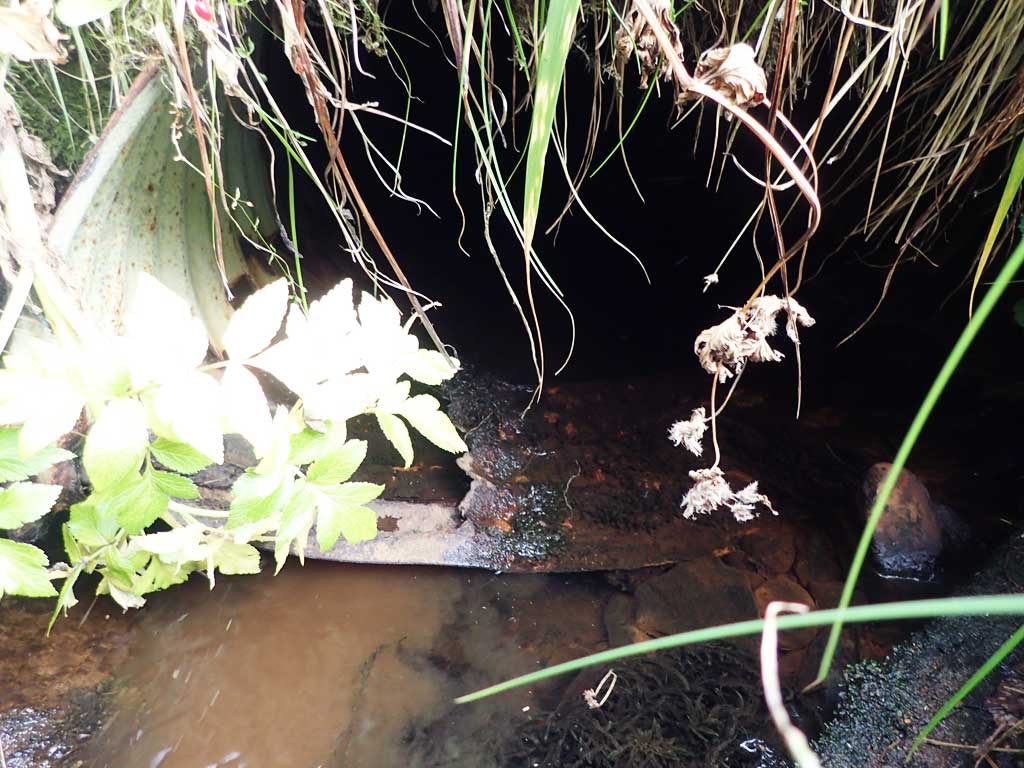
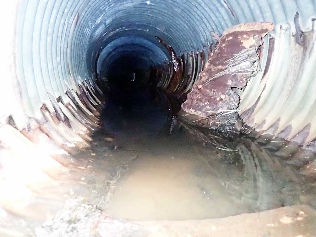
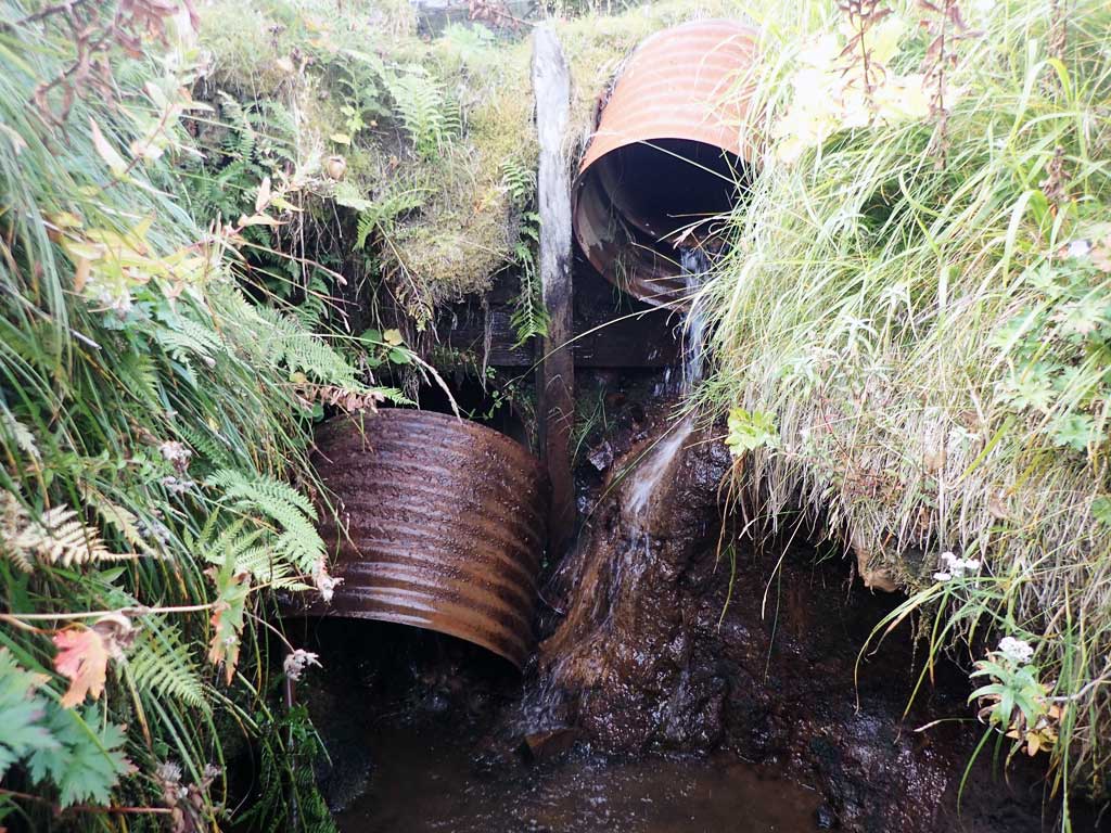
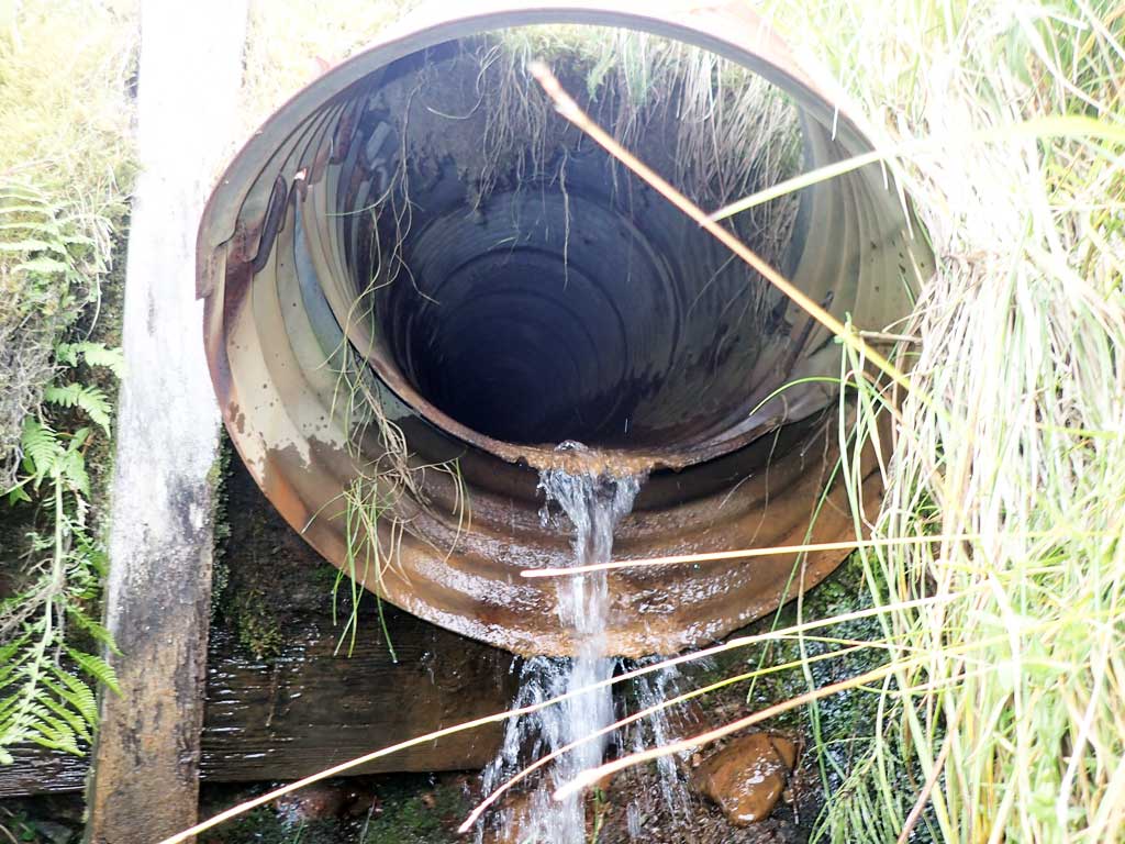
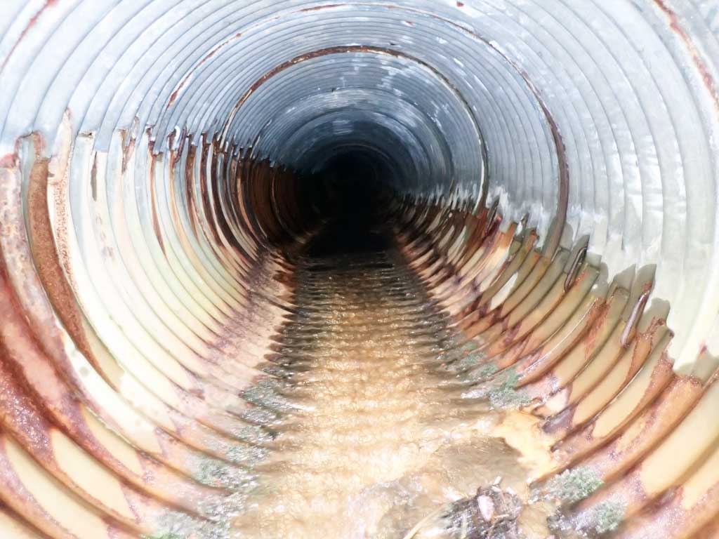
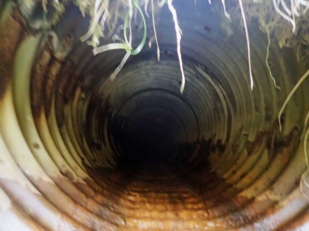
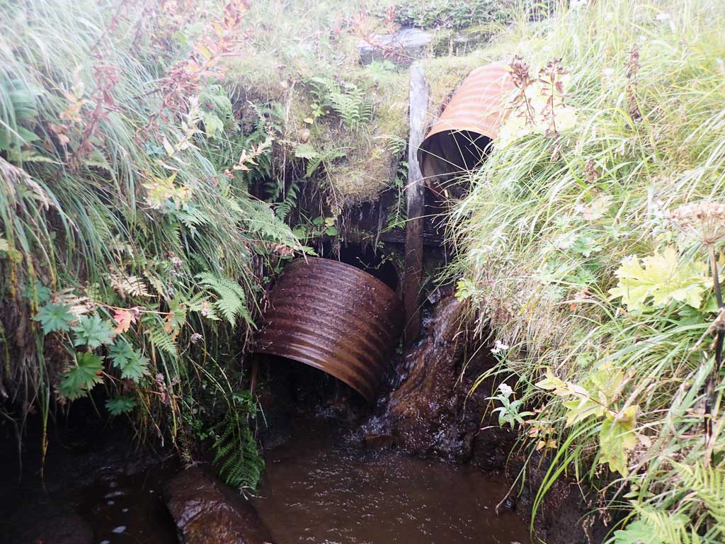
Comments: This information was gathered as part of the joint reconnaissance level project between the ADF&G Habitat Division and the Fish Passage Assessment Project on Adak Island. Due to time constraints full site assessments were not conducted, but base line information was collected. Two culverts at site the inlet of C2 is buried, C1 is squashed, both culverts perched and piece of the outlet have broken off.
Culvert Measurements
| ID: 1 | Structure Type: Circular pipe (Corrugated steel) | Fish Passage Rating: | |||||||||||||||||||||||||||||||||||||||||
|
|
|
|||||||||||||||||||||||||||||||||||||||||
Comments: Culvert is very deteriroated, piece of outlet broken off. Outfall over 1 foot. Likely a gradient barrier as well. Culvert inlet squashed and almost looks like a pipe arch, interior shows the cuvlert to be round. |
|||||||||||||||||||||||||||||||||||||||||||
Culvert Observations:
|
|||||||||||||||||||||||||||||||||||||||||||
| ID: 2 | Structure Type: Circular pipe (Corrugated steel) | Fish Passage Rating: | |||||||||||||||||||||||||||||||||||||||||
|
|
|
|||||||||||||||||||||||||||||||||||||||||
Comments: Outfall over 1 foot. Inlet buried. |
|||||||||||||||||||||||||||||||||||||||||||
Culvert Observations:
|
|||||||||||||||||||||||||||||||||||||||||||
Stream Measurements
|
|
No stream width data available.
Elevations
No elevation data available.
Fish Sampling Efforts
No fish sampling occurred during this survey.
Fish Observations
No fish observations occurred during this survey.
Photos
Questions or comments about this report can be directed to dfg.dsf.webmaster@alaska.gov