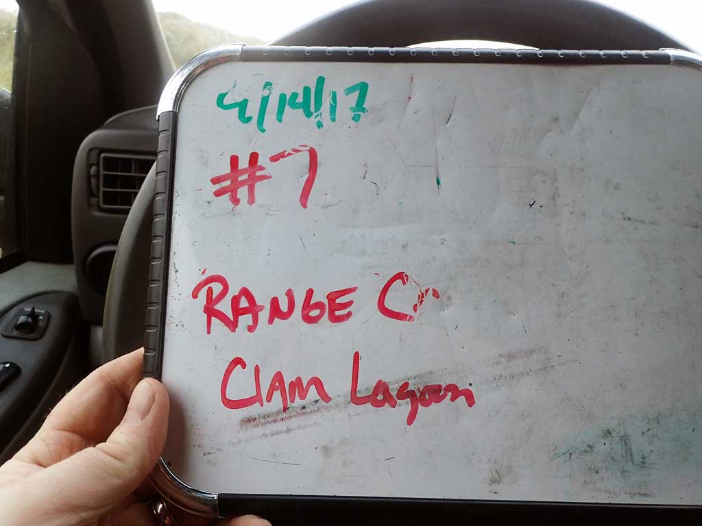
Fish Passage Site 30103672
Coordinates (dec. deg.): 51.95302°, -176.57378°
Legal Description: S095S194W17
Region: Southwest
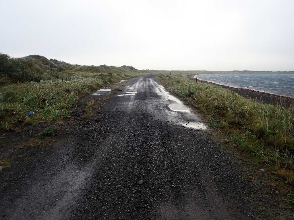
Road Name: Clam Lagoon Road
Datum: NAD83
Quad Name / ITM: Adak C-2
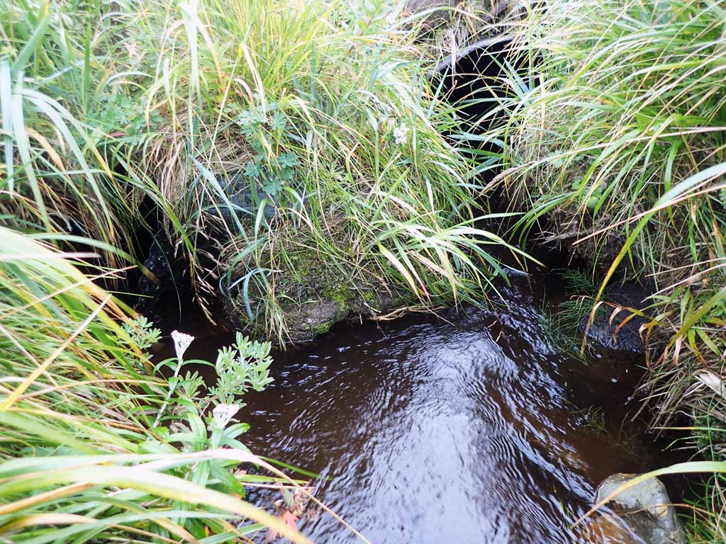
AWC Stream #: 306-70-10100
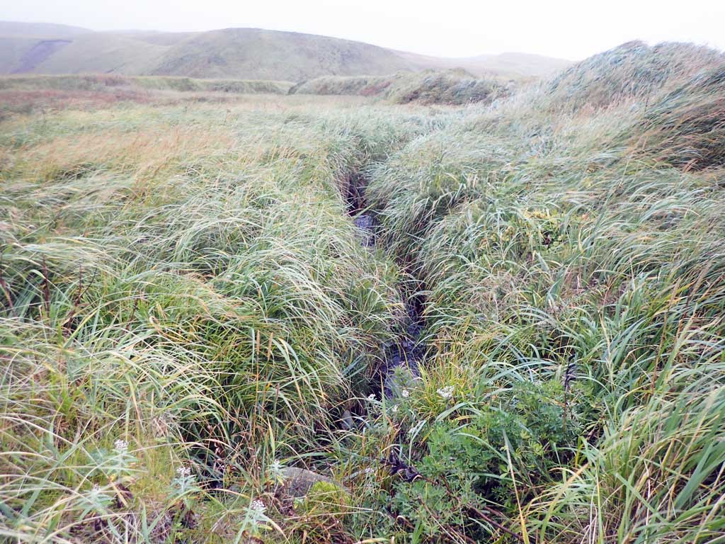
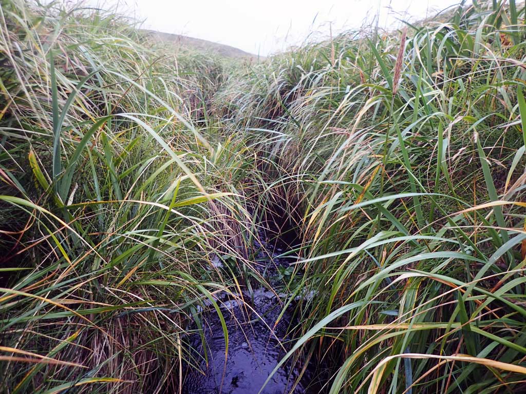
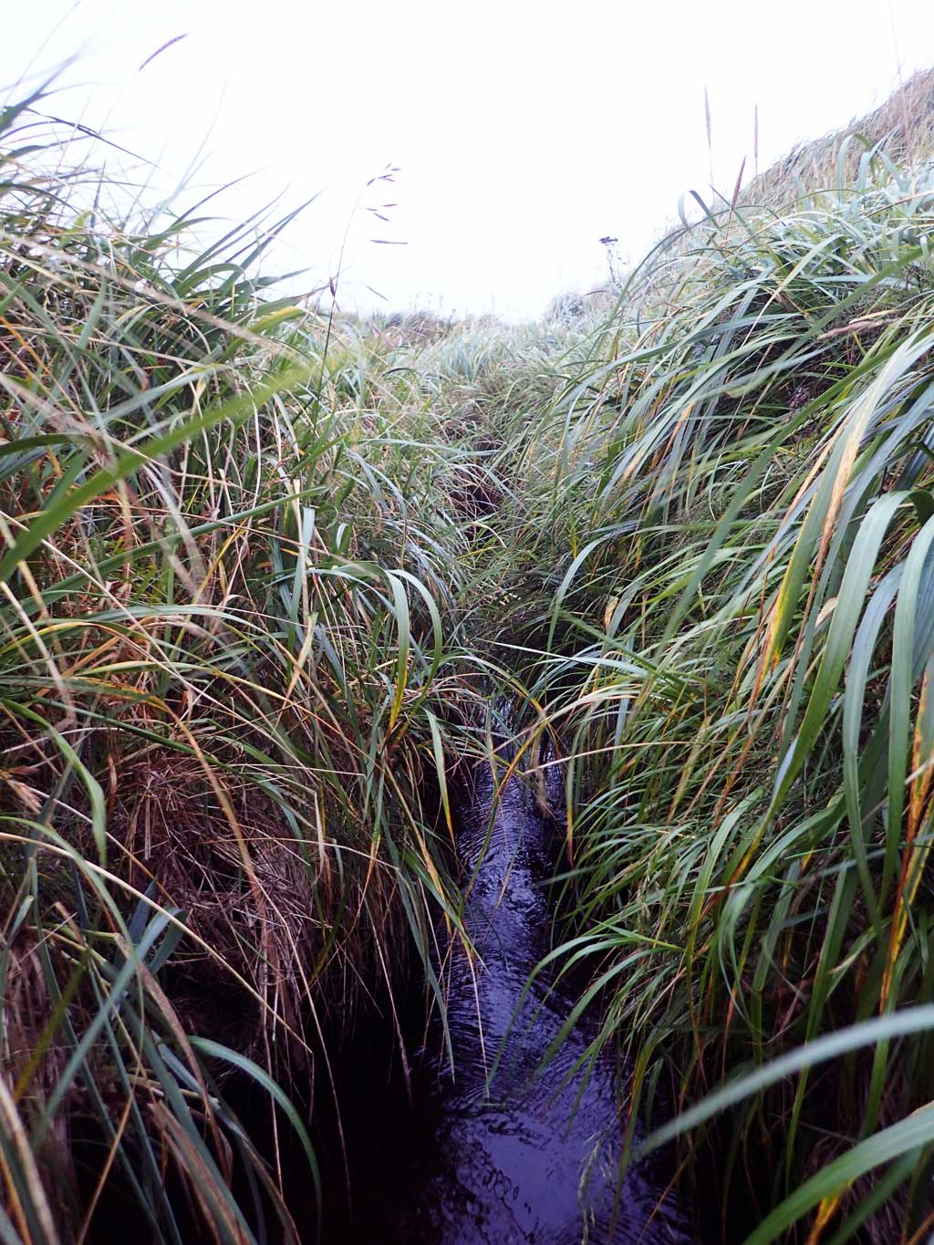
Stream Name: Range Creek
Elevation:
Site Comments: None
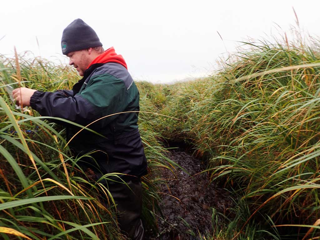
Survey ADAK17-C7
Observers: Mark Eisenman, Jeanette Alas
Overall Fish Passage Rating:
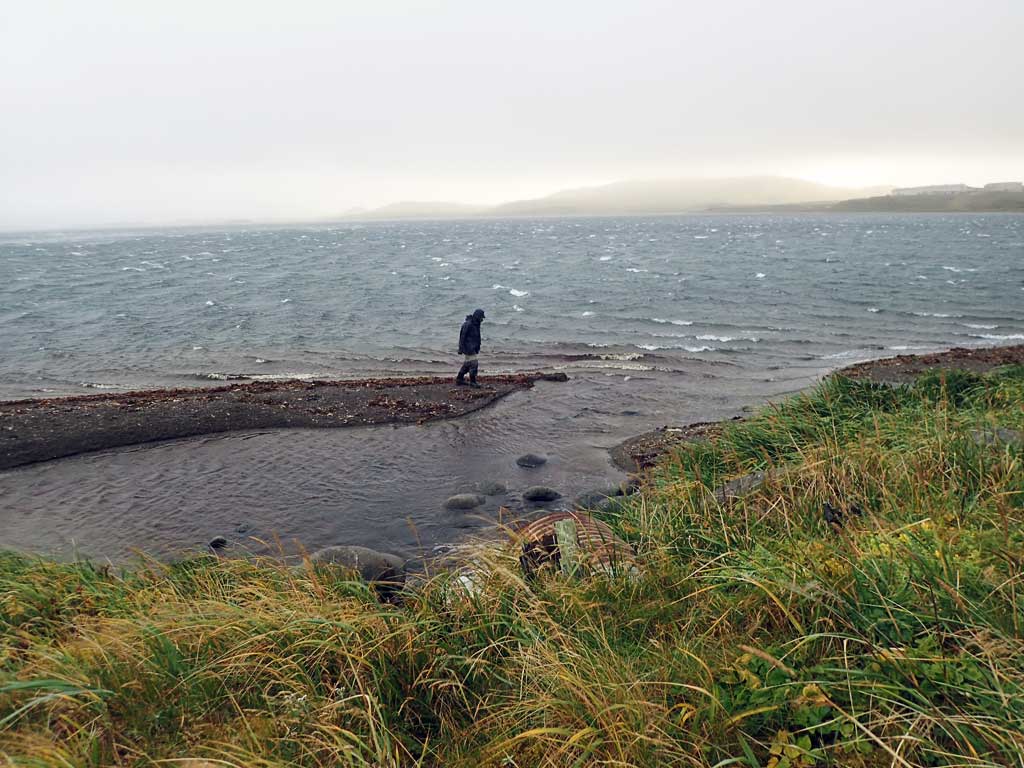
Tidal: Yes
Backwatered: No
Step Pools: No
Construction Year:
Site Observations:
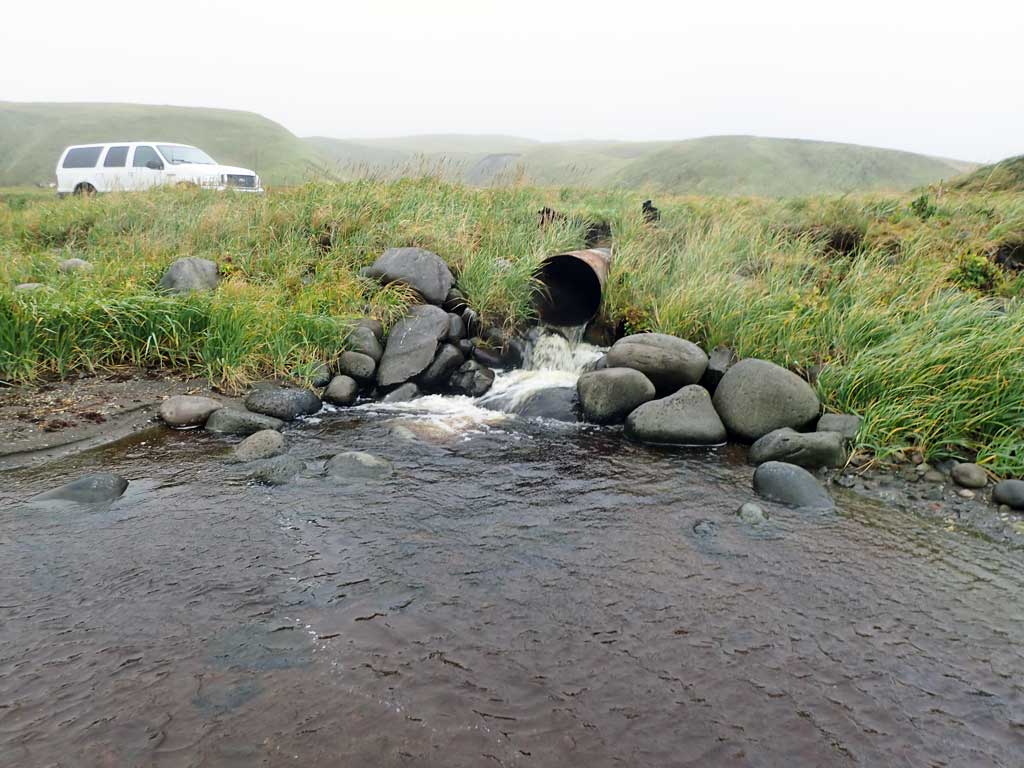
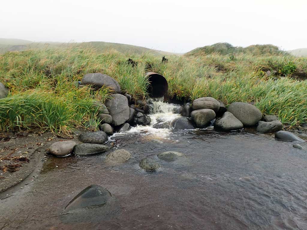
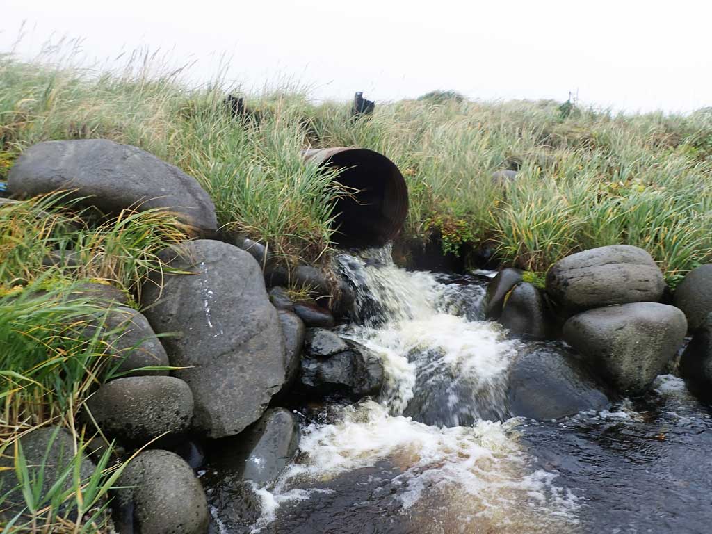
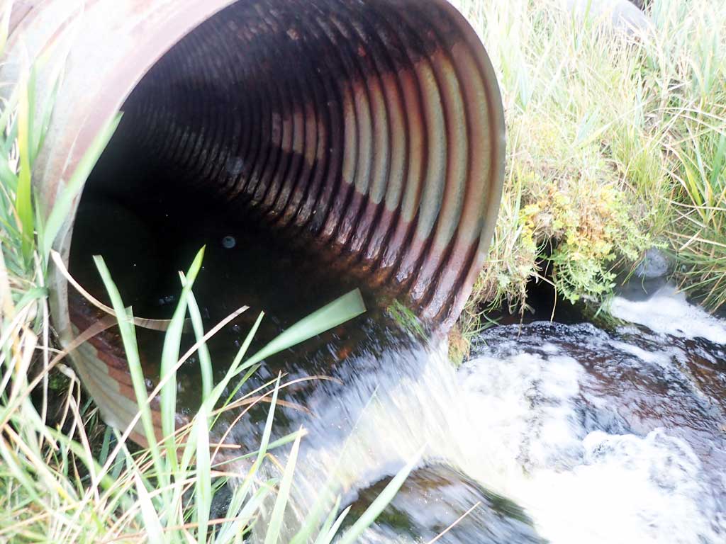
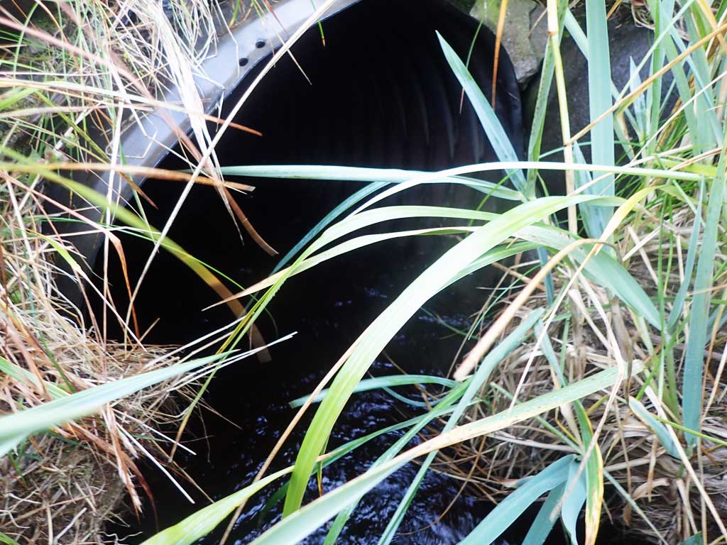
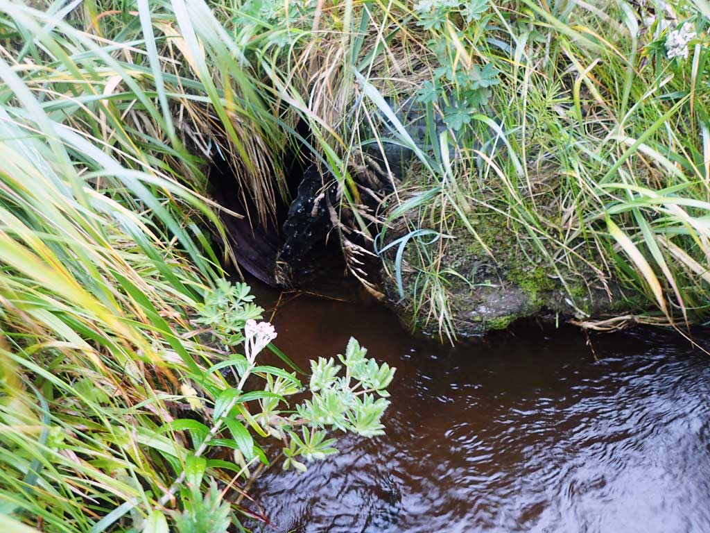
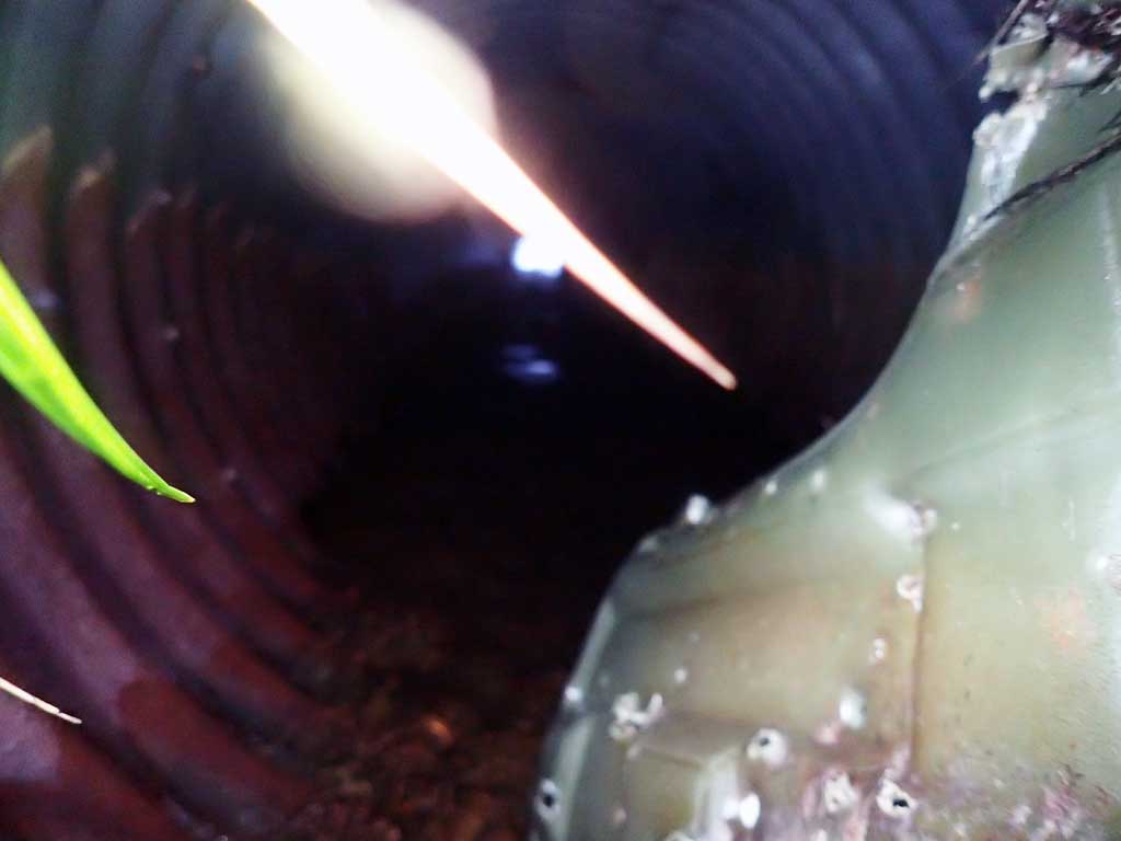
- Outfall height red
- Structural Problem
- Mechanical damage or joints parting
- Compound gradient in pipe
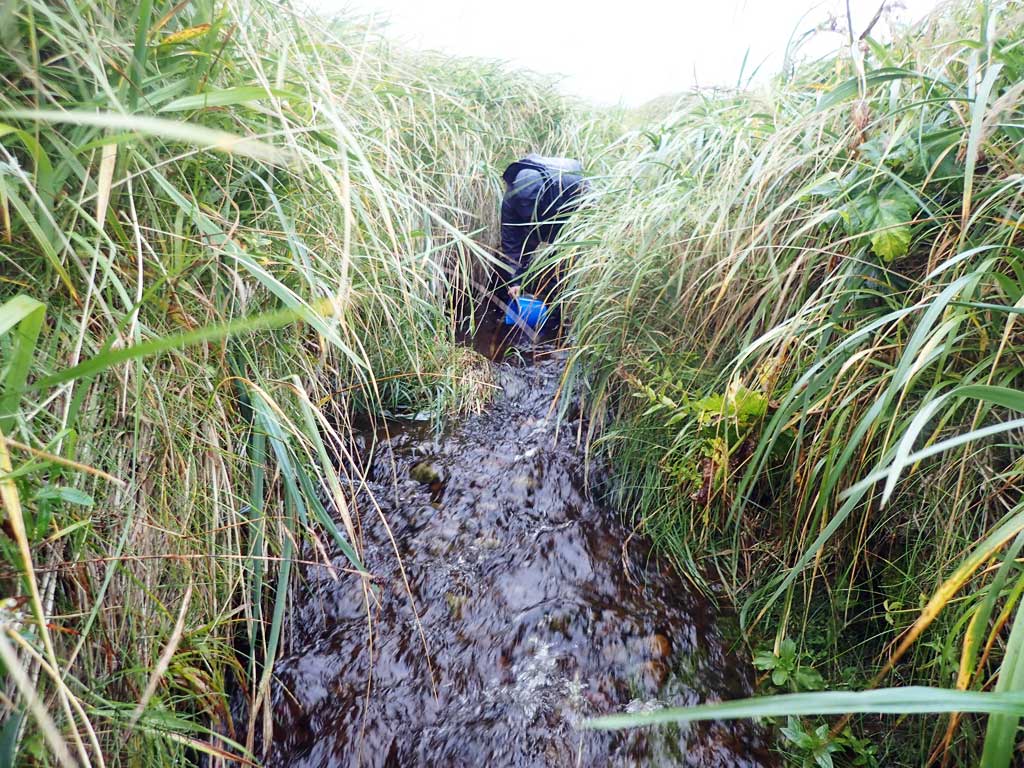
Comments: This information was gathered as part of the joint reconnaissance level project between the ADF&G Habitat Division and the Fish Passage Assessment Project on Adak Island. Due to time constraints full site assessments were not conducted, but base line information was collected.
Culvert Measurements
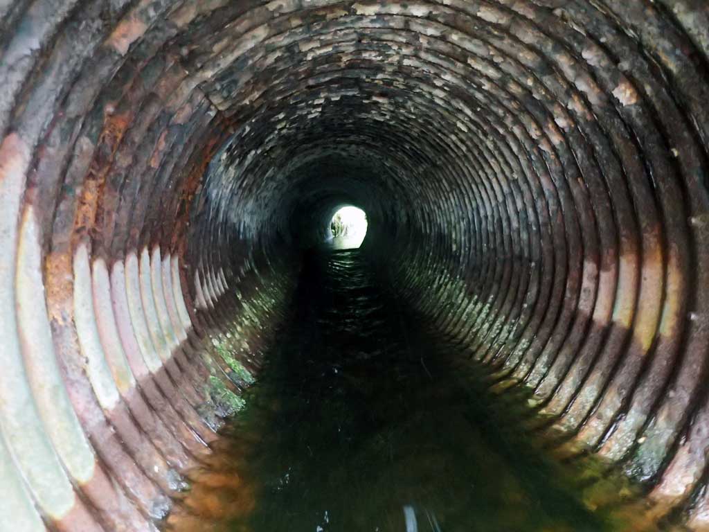
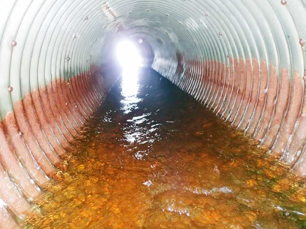
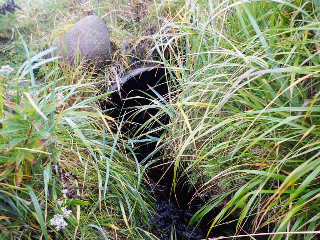
| ID: 1 | Structure Type: Circular pipe (Corrugated steel) | Fish Passage Rating: | |||||||||||||||||||||||||||||||||||||||||
|
|
|
|||||||||||||||||||||||||||||||||||||||||
Comments: Culvert shows signs of deterioration and is in tidal zone and looks to get inundated pretty regularly to allow some fish passage. |
|||||||||||||||||||||||||||||||||||||||||||
Culvert Observations:
|
|||||||||||||||||||||||||||||||||||||||||||
| ID: 2 | Structure Type: Circular pipe (Corrugated steel) | Fish Passage Rating: | |||||||||||||||||||||||||||||||||||||||||
|
|
|
|||||||||||||||||||||||||||||||||||||||||
Comments: Culvert shows signs of deterioration and is in tidal zone and looks to get inundated pretty regularly. |
|||||||||||||||||||||||||||||||||||||||||||
Culvert Observations:
|
|||||||||||||||||||||||||||||||||||||||||||
Stream Measurements
|
|
No stream width data available.
Elevations
No elevation data available.
Fish Sampling Efforts
| Gear Type: Minnow Trap (A) | Trap Duration(h): 24.5 | |
| Gear Type: Visual Observation, Ground (B) | ||
Fish Observations
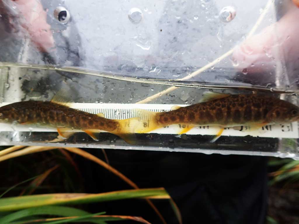
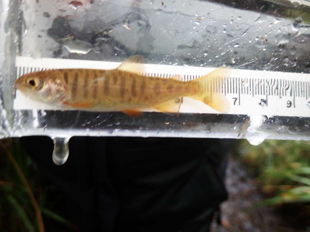
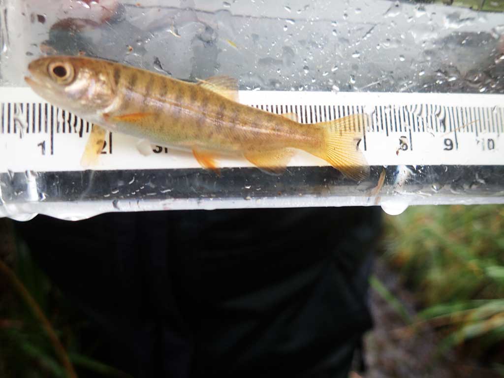
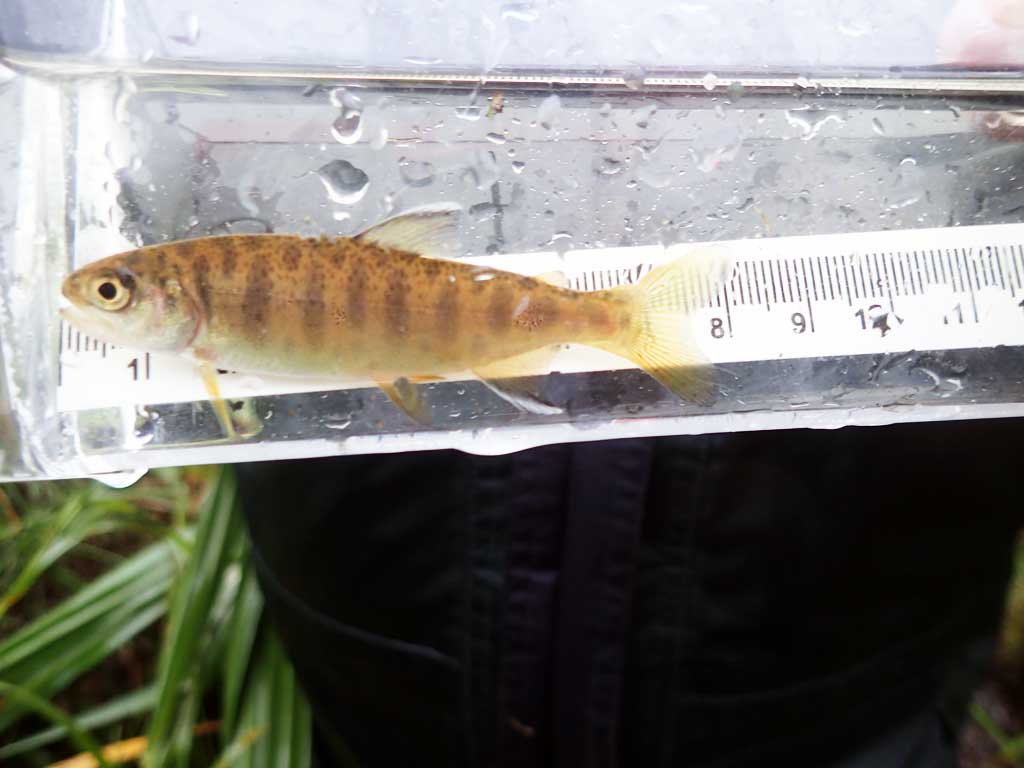
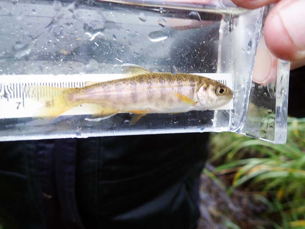
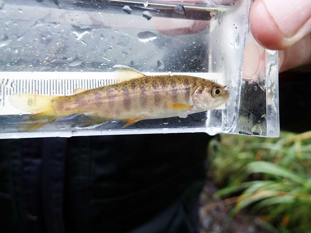
| Species: juvenile coho salmon | Life History: Anadromous | ||
| Total Fish Observed: 3 | Fish Measured: 3 | Fork Lengths (mm) Min: 59 Max: 74 Mean: 67 | |
| Collected/Observed by Gear Type: Upstream Minnow Trap (3) | |||
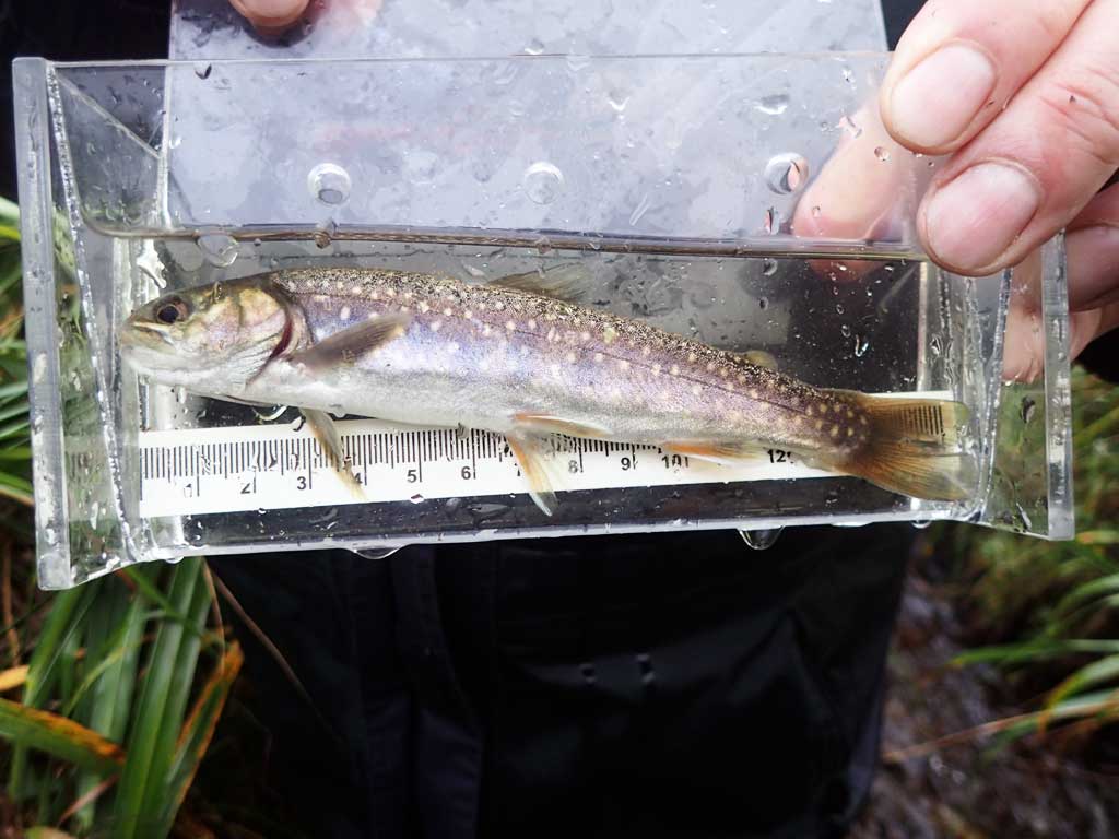
| Species: juvenile/adult Dolly Varden | Life History: Unknown | ||
| Total Fish Observed: 15 | Fish Measured: 15 | Fork Lengths (mm) Min: 55 Max: 150 Mean: 87 | |
| Collected/Observed by Gear Type: Upstream Minnow Trap (15) | |||
| Species: adult pink salmon | Life History: Anadromous | ||
| Total Fish Observed: 5 | Fish Measured: | Fork Lengths (mm) Min: Max: Mean: | |
| Collected/Observed by Gear Type: Downstream Visual Observation, Ground (5) | |||
Photos
Questions or comments about this report can be directed to dfg.dsf.webmaster@alaska.gov