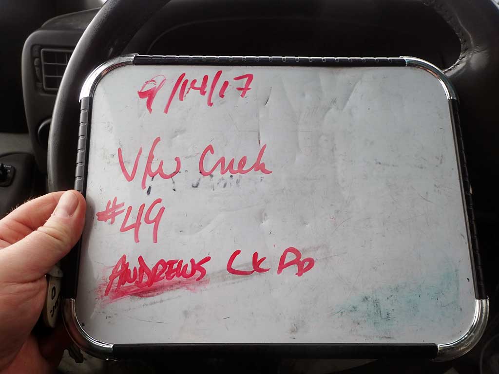
Fish Passage Site 30103667
Coordinates (dec. deg.): 51.93990°, -176.66325°
Legal Description: S095S195W15
Region: Southwest
Road Name: Andrew Lake Road
Datum: NAD83
Quad Name / ITM: Adak C-2
AWC Stream #:
Stream Name: Unnamed
Elevation:
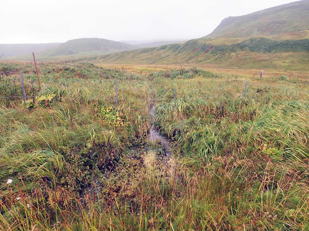
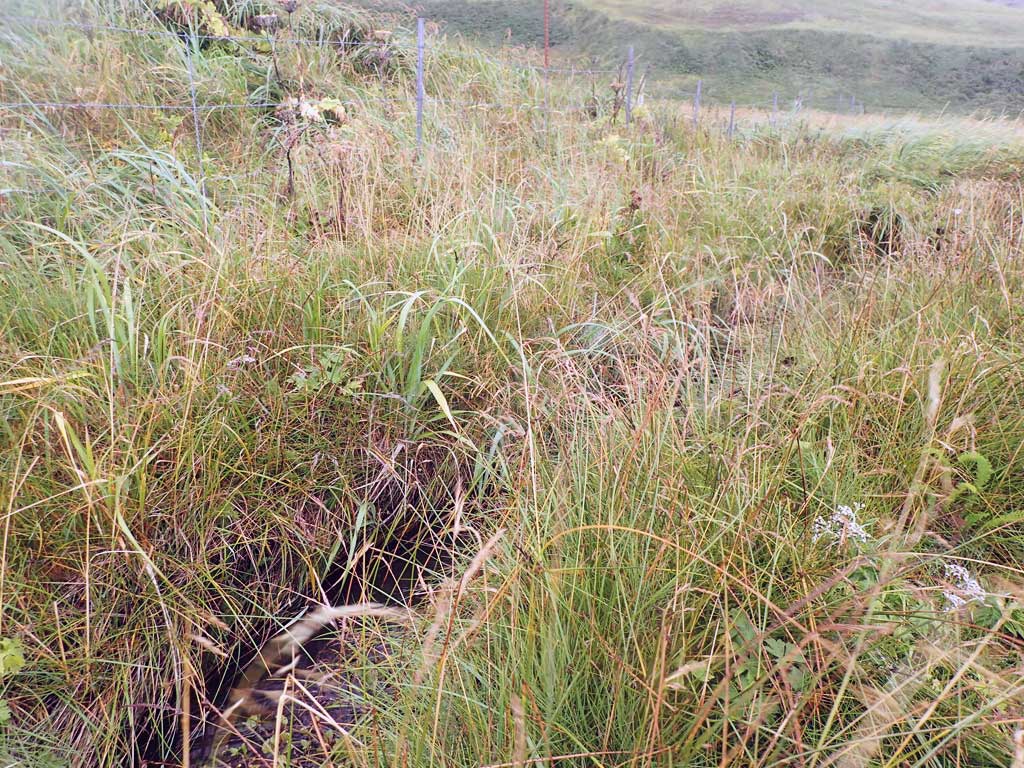
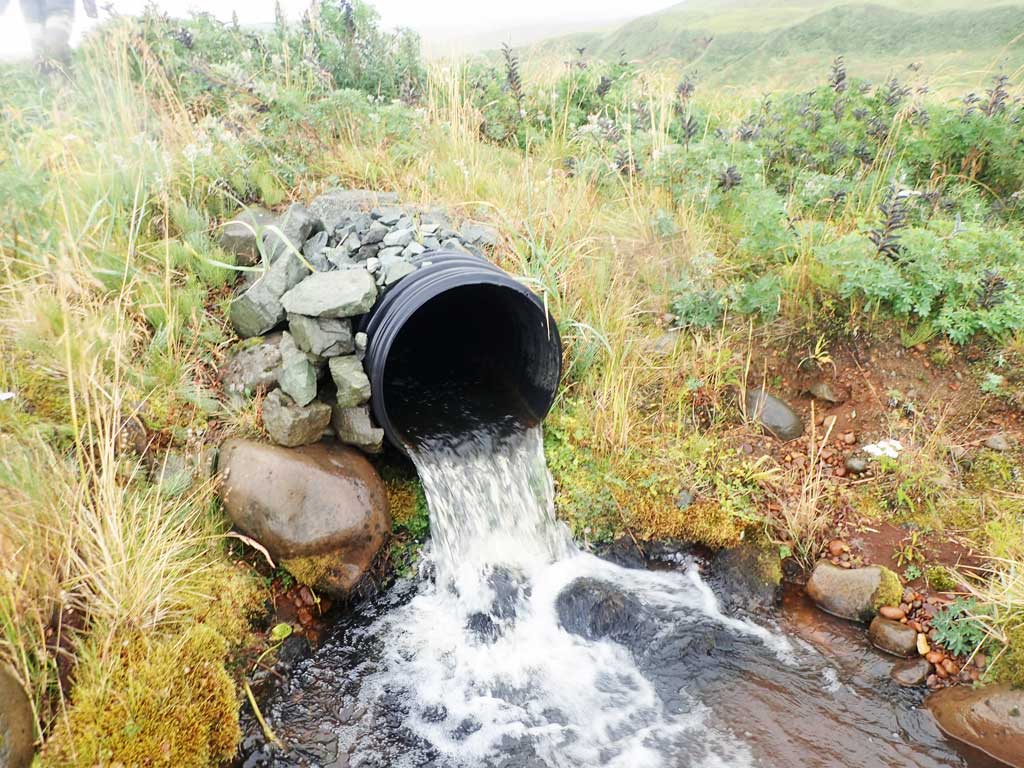
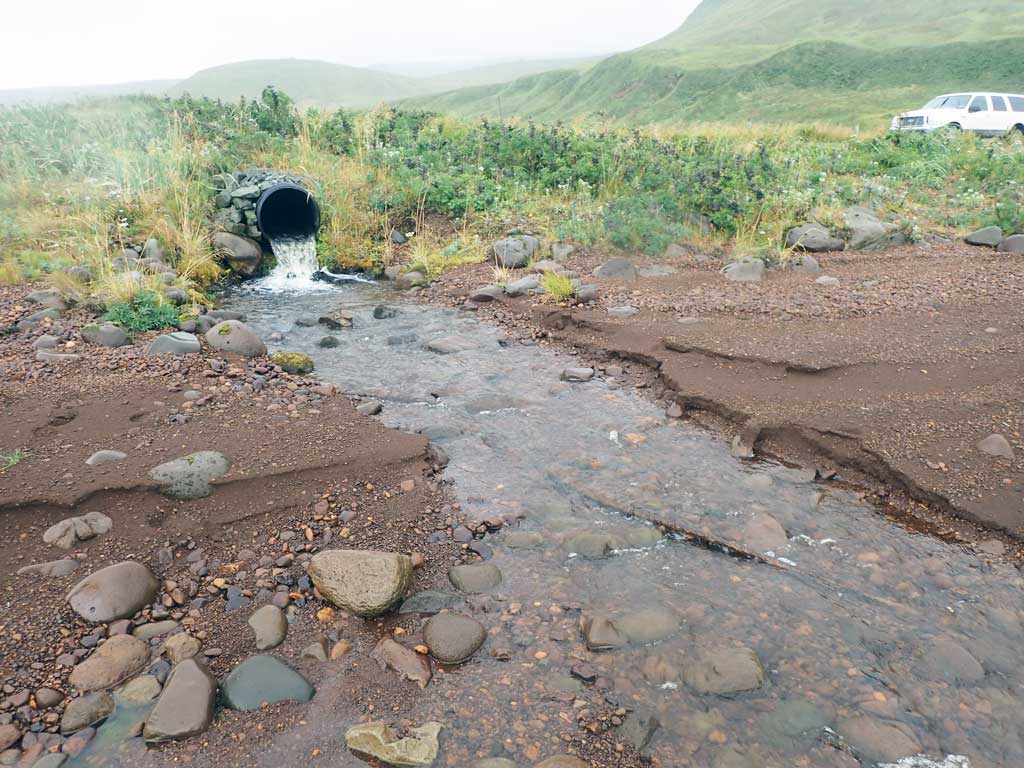
Site Comments: Small creek about 50 feet west of VW creek cuvlert (C48)
Survey ADAK17-C49
Observers: Mark Eisenman, Jeanette Alas
Overall Fish Passage Rating:
Tidal: No
Backwatered: No
Step Pools: No
Construction Year:
Site Observations:
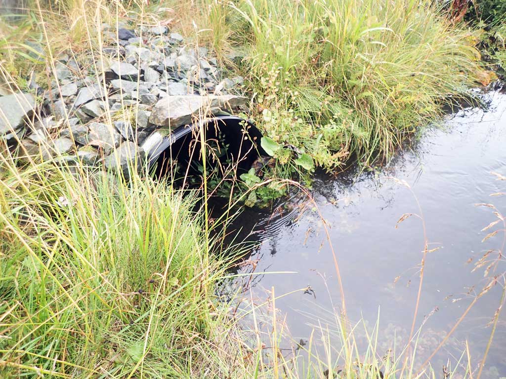
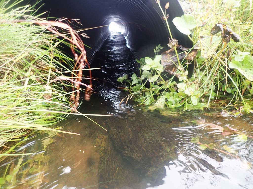
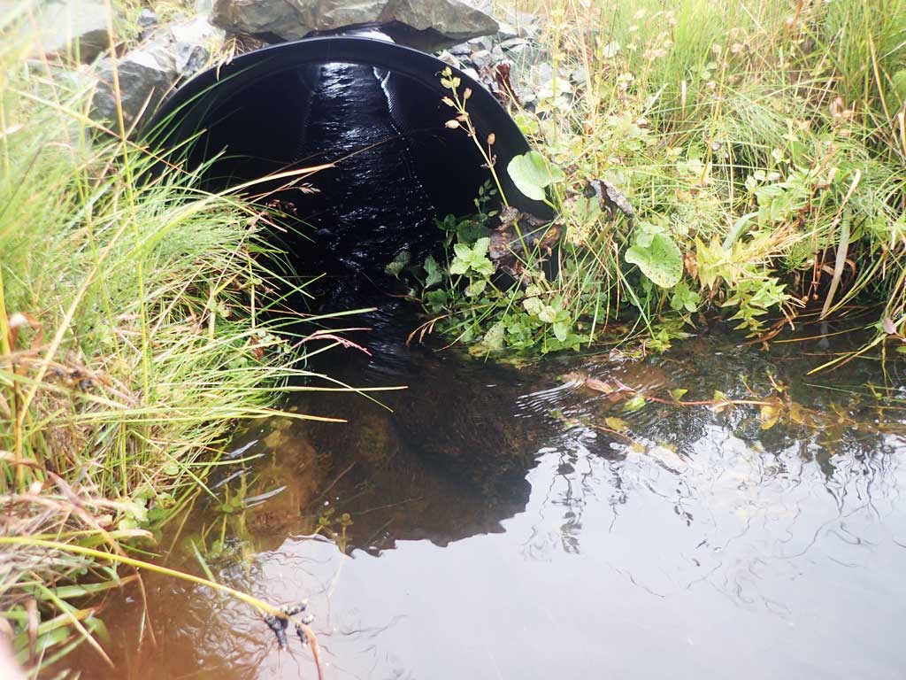
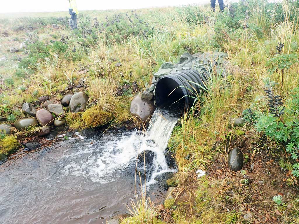
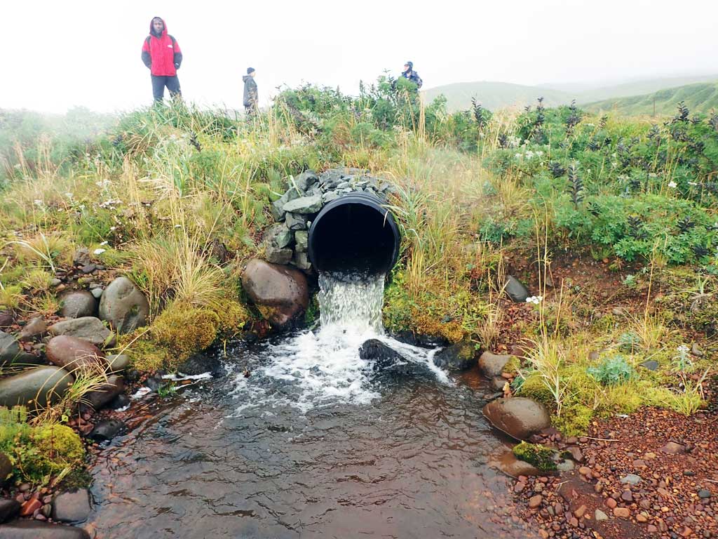
- Outfall height red
- Inlet perch
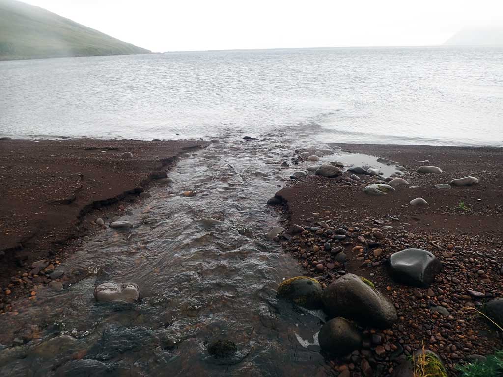
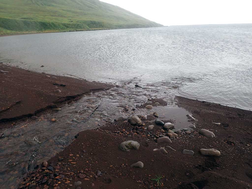
Comments: This information was gathered as part of the joint reconnaissance level project between the ADF&G Habitat Division and the Fish Passage Assessment Project on Adak Island. Due to time constraints full site assessments were not conducted, but base line information was collected. No fish observed, no adults at outlet.
Culvert Measurements
| ID: 1 | Structure Type: Circular pipe (Corrugated plastic) | Fish Passage Rating: | |||||||||||||||||||||||||||||||||||||||||
|
|
|
|||||||||||||||||||||||||||||||||||||||||
Comments: At high flows culvert looks constricted and inlet perch obsereved. |
|||||||||||||||||||||||||||||||||||||||||||
Culvert Observations:
|
|||||||||||||||||||||||||||||||||||||||||||
Stream Measurements
|
|
No stream width data available.
Elevations
No elevation data available.
Fish Sampling Efforts
No fish sampling occurred during this survey.
Fish Observations
No fish observations occurred during this survey.
Photos
Questions or comments about this report can be directed to dfg.dsf.webmaster@alaska.gov