Fish Passage Site 30103661
Coordinates (dec. deg.): 51.92355°, -176.65043°
Legal Description: S095S195W26
Region: Southwest
Road Name: Old Military Road
Datum: NAD83
Quad Name / ITM: Adak C-2
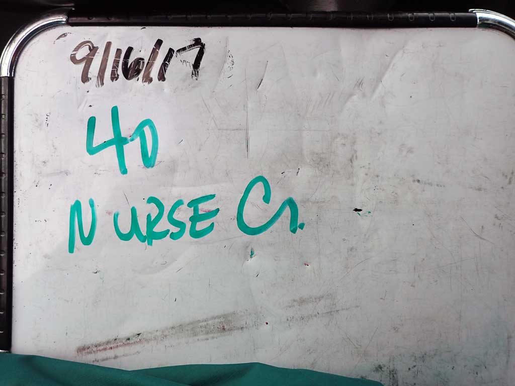
AWC Stream #: 306-50-12000-2030
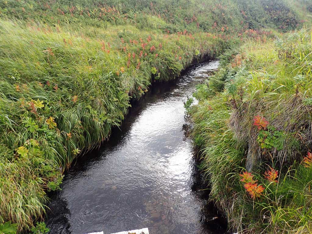
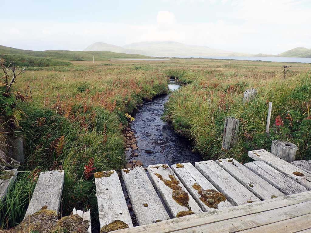
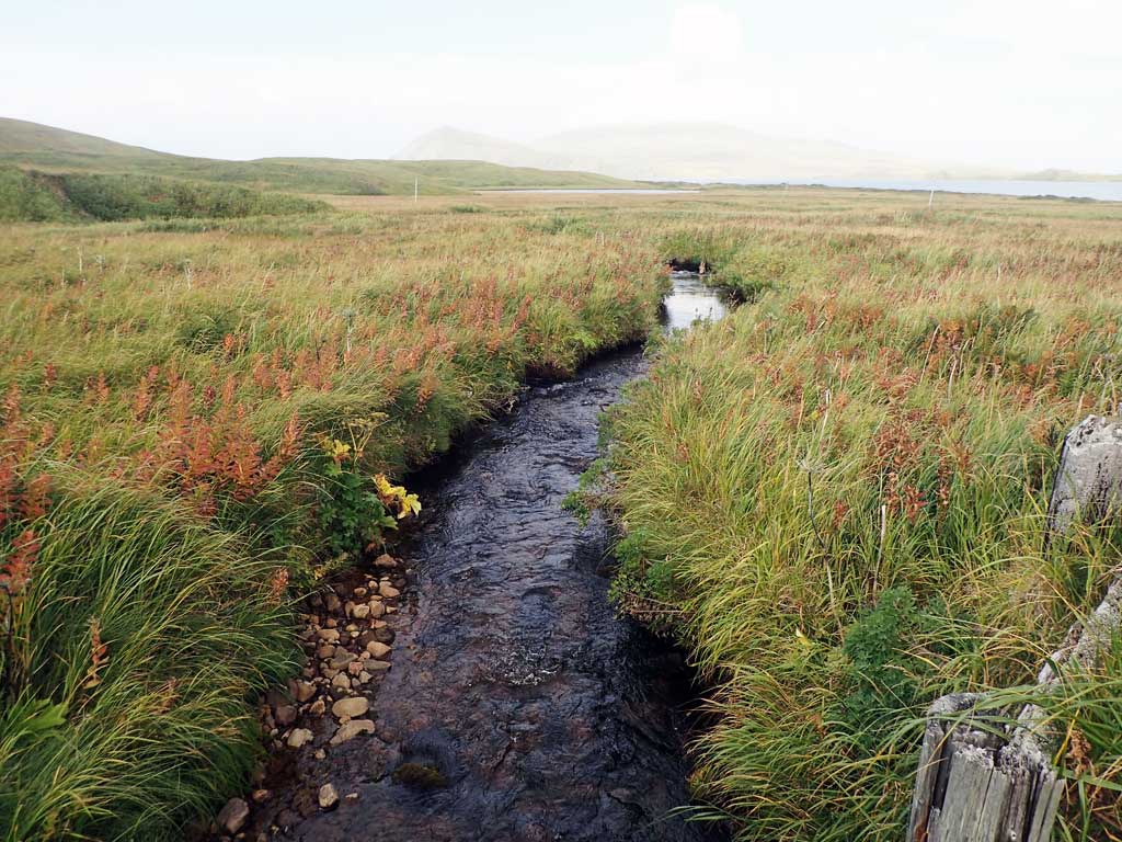
Stream Name: Nurse Creek
Elevation:
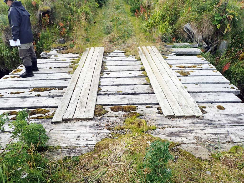
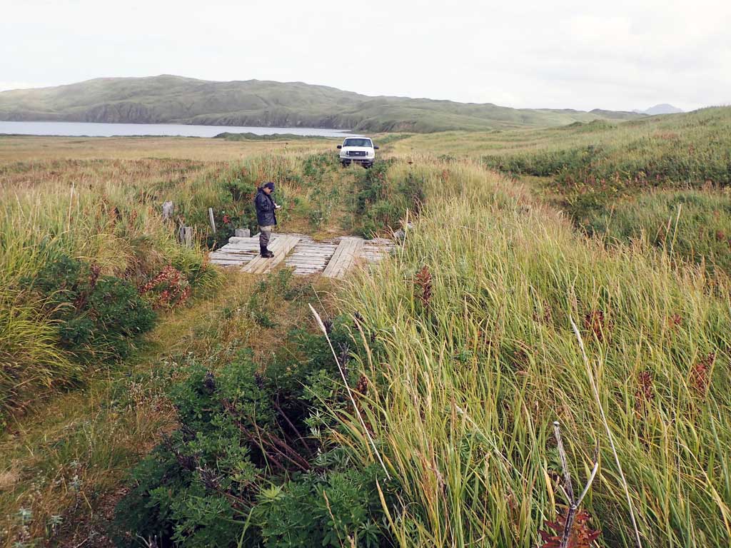
Site Comments: Site is a bridge upstream from crossing C43 that empties into Andrew Lake.
Survey ADAK17-C40
Observers: Mark Eisenman, Jeanette Alas
Overall Fish Passage Rating:
Tidal:
Backwatered:
Step Pools:
Construction Year:
Comments: This information was gathered as part of the joint reconnaissance level project between the ADF&G Habitat Division and the Fish Passage Assessment Project on Adak Island. Due to time constraints full site assessments were not conducted, but base line information was collected. Site is a bridge crossing. This site has been included to record it's location on an anadromous stream. Bridge looks to be in decent shape, but has the potential to eventually end up in the creek.
Culvert Measurements
No measurement data available.
Stream Measurements
|
|
No stream width data available.
Elevations
No elevation data available.
Fish Sampling Efforts
No fish sampling occurred during this survey.
Fish Observations
No fish observations occurred during this survey.
Photos
Questions or comments about this report can be directed to dfg.dsf.webmaster@alaska.gov