Fish Passage Site 30103657
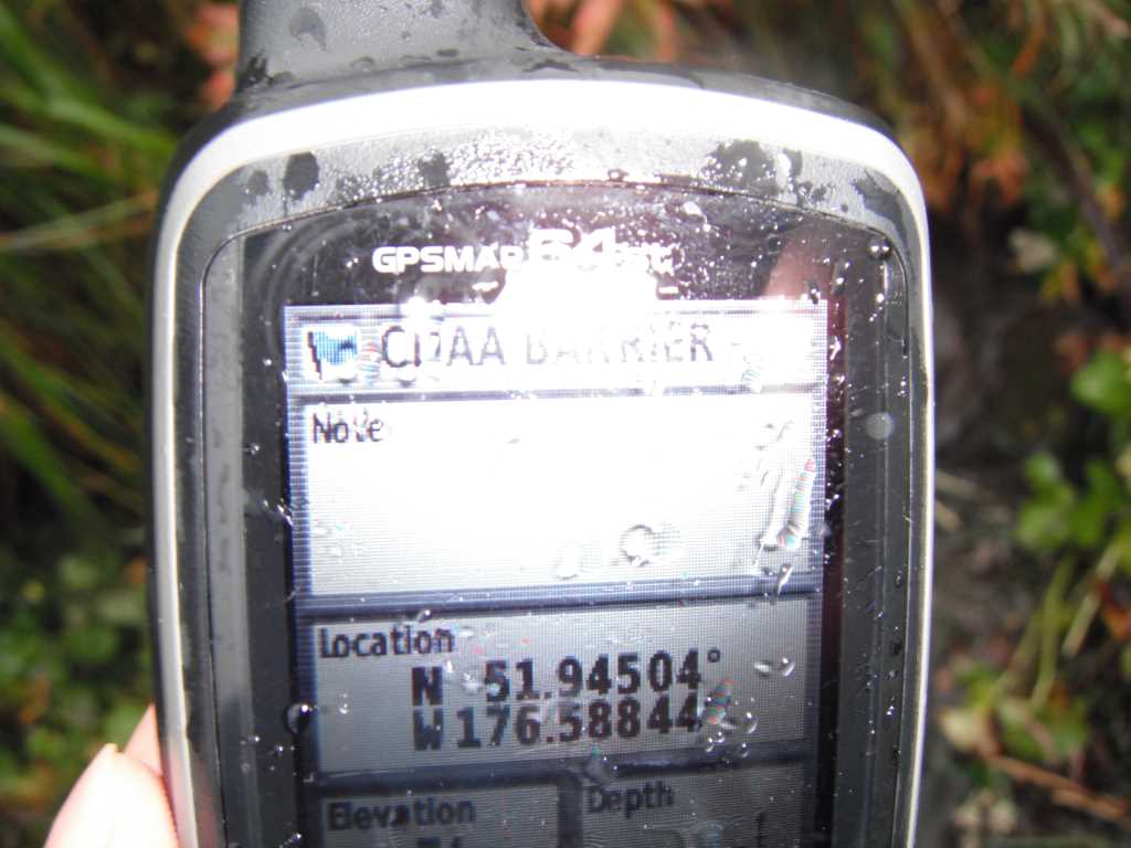
Coordinates (dec. deg.): 51.94511°, -176.58855°
Legal Description: S095S194W18
Region: Southwest
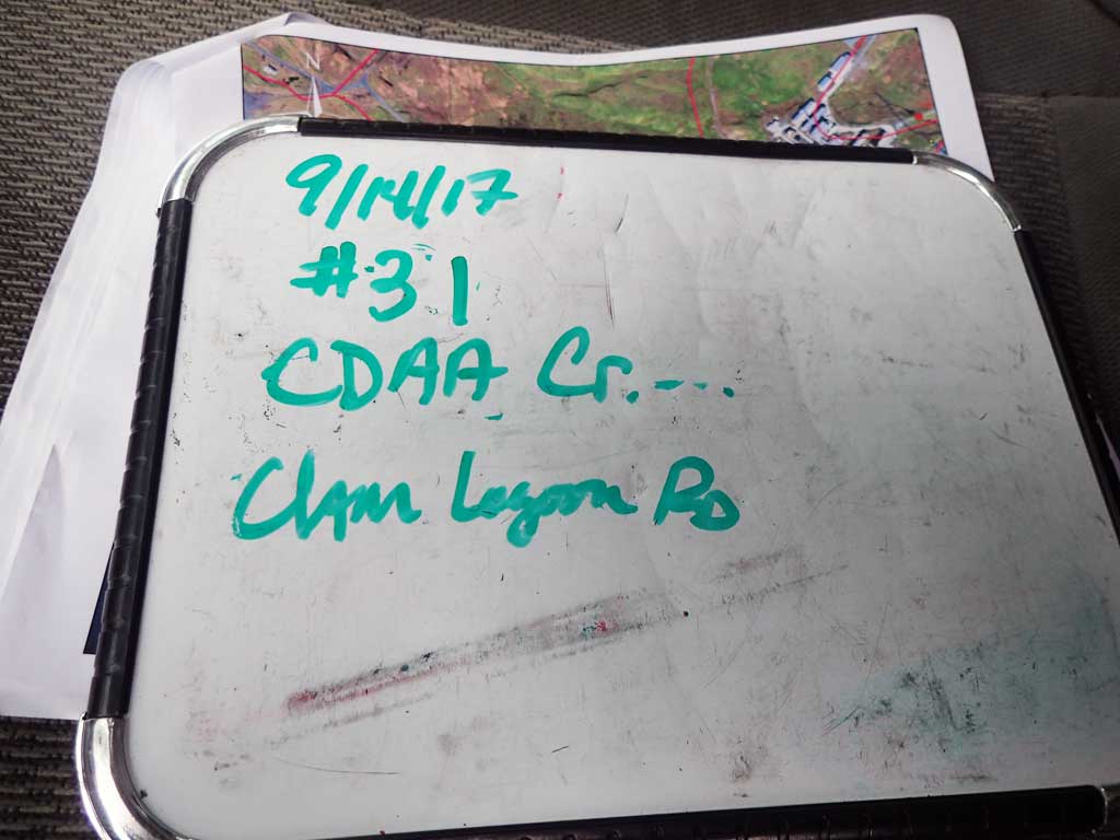
Road Name: Old Military Road
Datum: NAD83
Quad Name / ITM: Adak C-2
AWC Stream #:
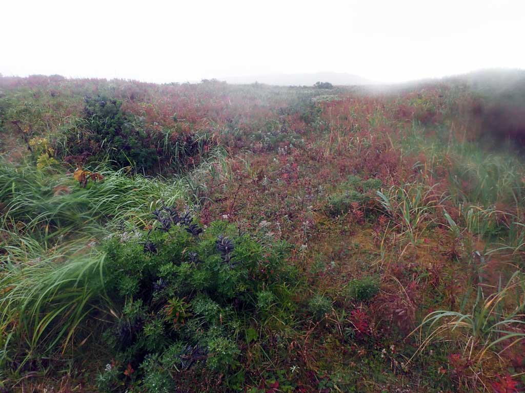
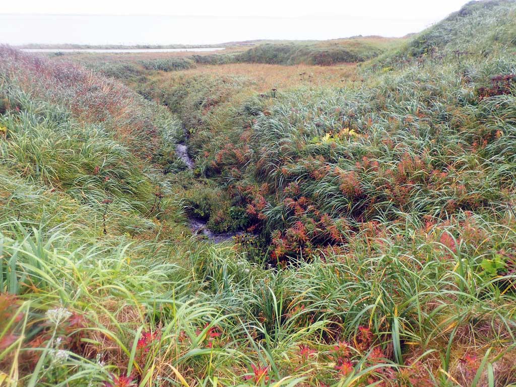
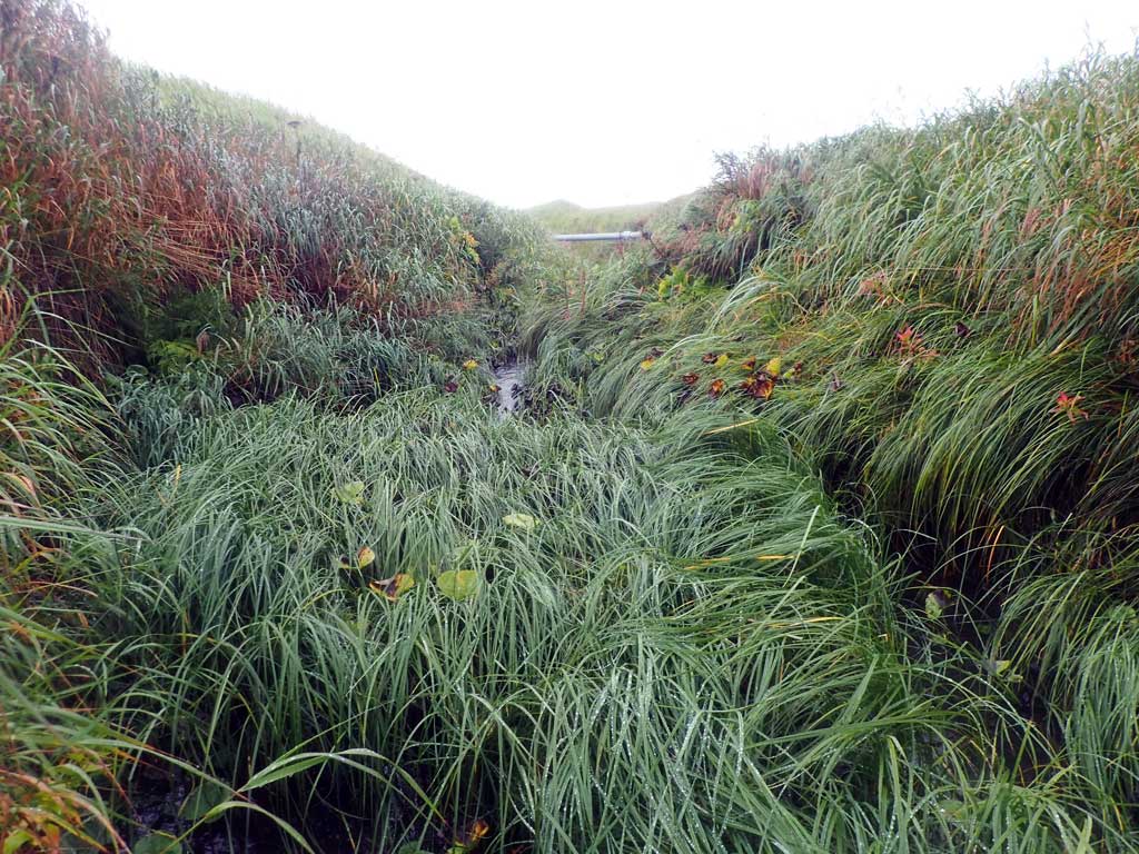
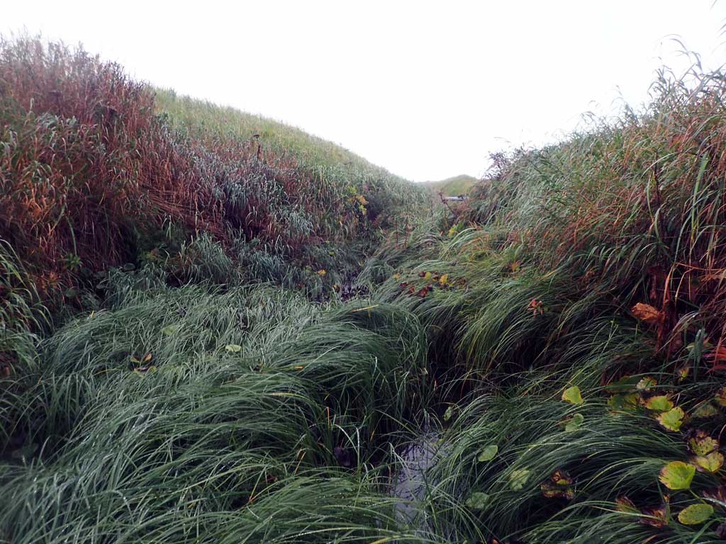
Stream Name: CDAA Creek
Elevation:
Site Comments: None
Survey ADAK17-C31
Observers: Mark Eisenman, Jeanette Alas
Overall Fish Passage Rating:
Tidal: No
Backwatered: No
Step Pools: No
Construction Year:
Comments: This information was gathered as part of the joint reconnaissance level project between the ADF&G Habitat Division and the Fish Passage Assessment Project on Adak Island. Due to time constraints full site assessments were not conducted, but base line information was collected.
Culvert Measurements
| ID: 1 | Structure Type: Box culvert (Wood) | Fish Passage Rating: | |||||||||||||||||||||||||||||||||||||||||
|
|
|
|||||||||||||||||||||||||||||||||||||||||
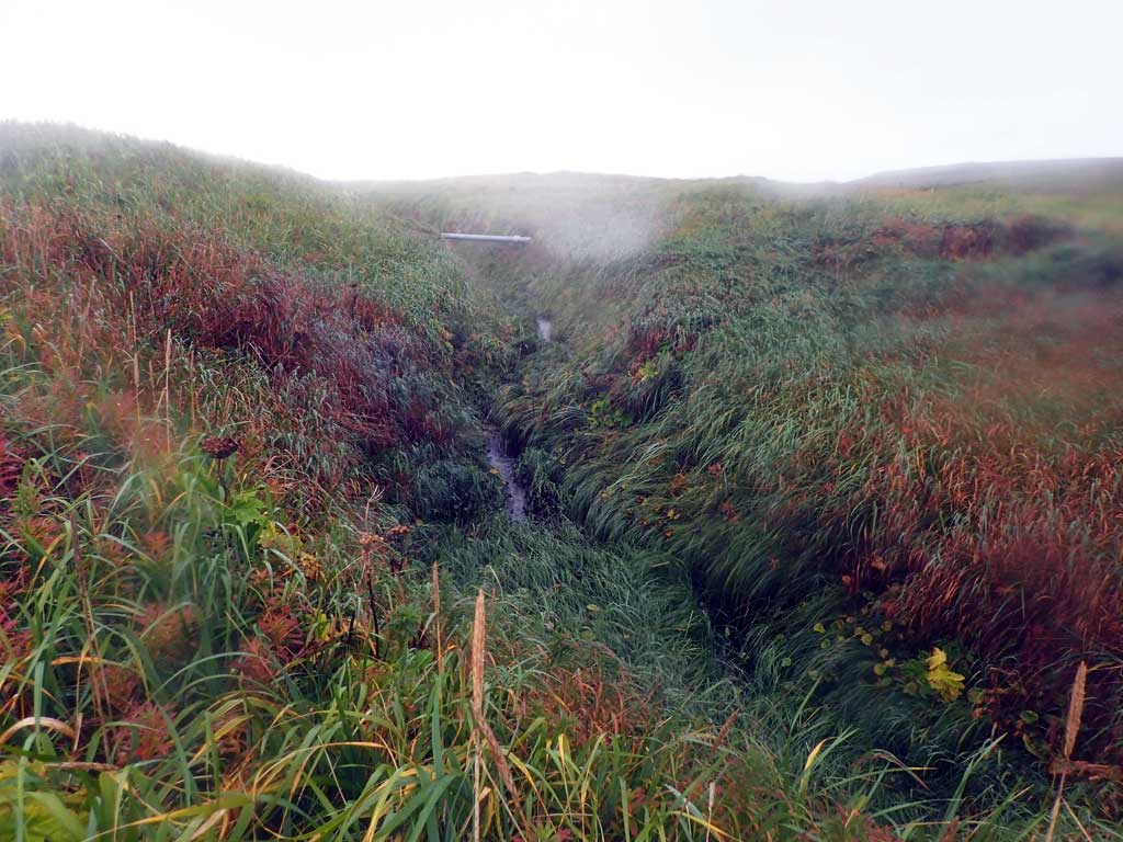
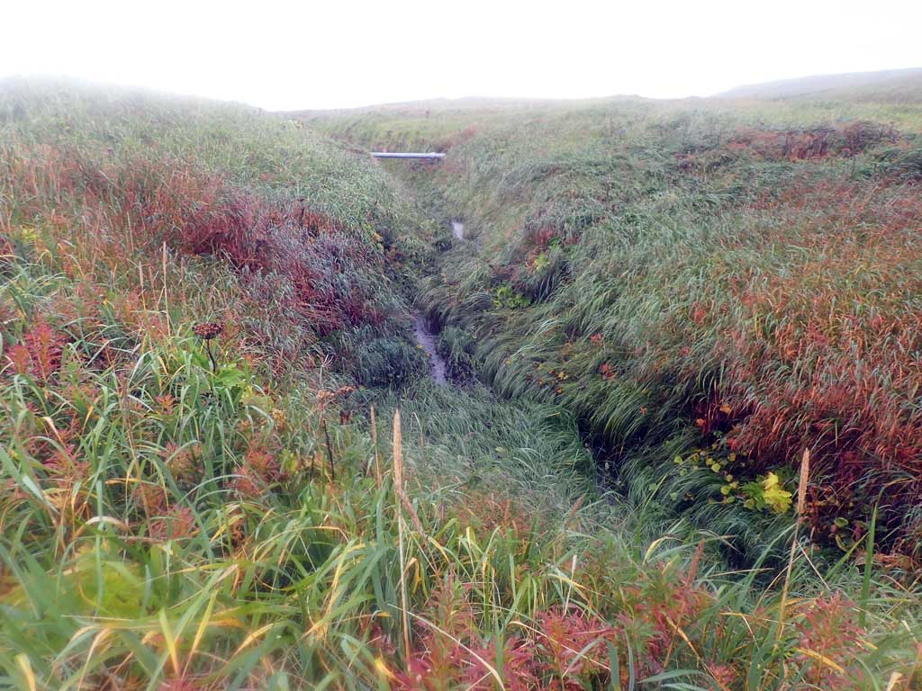
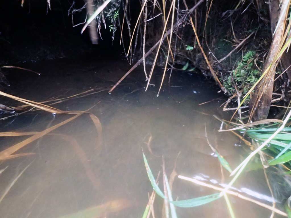
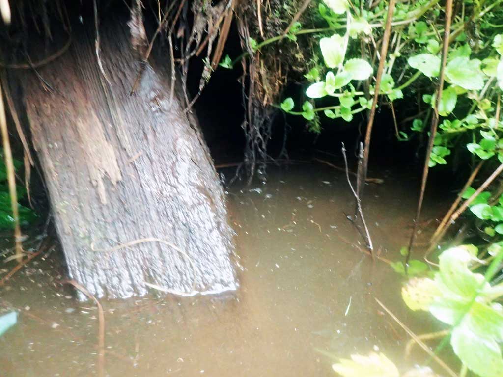
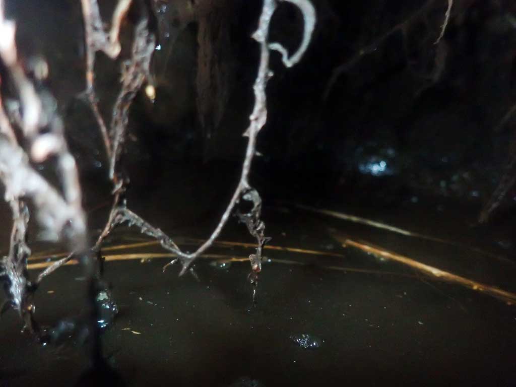
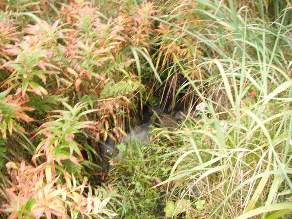
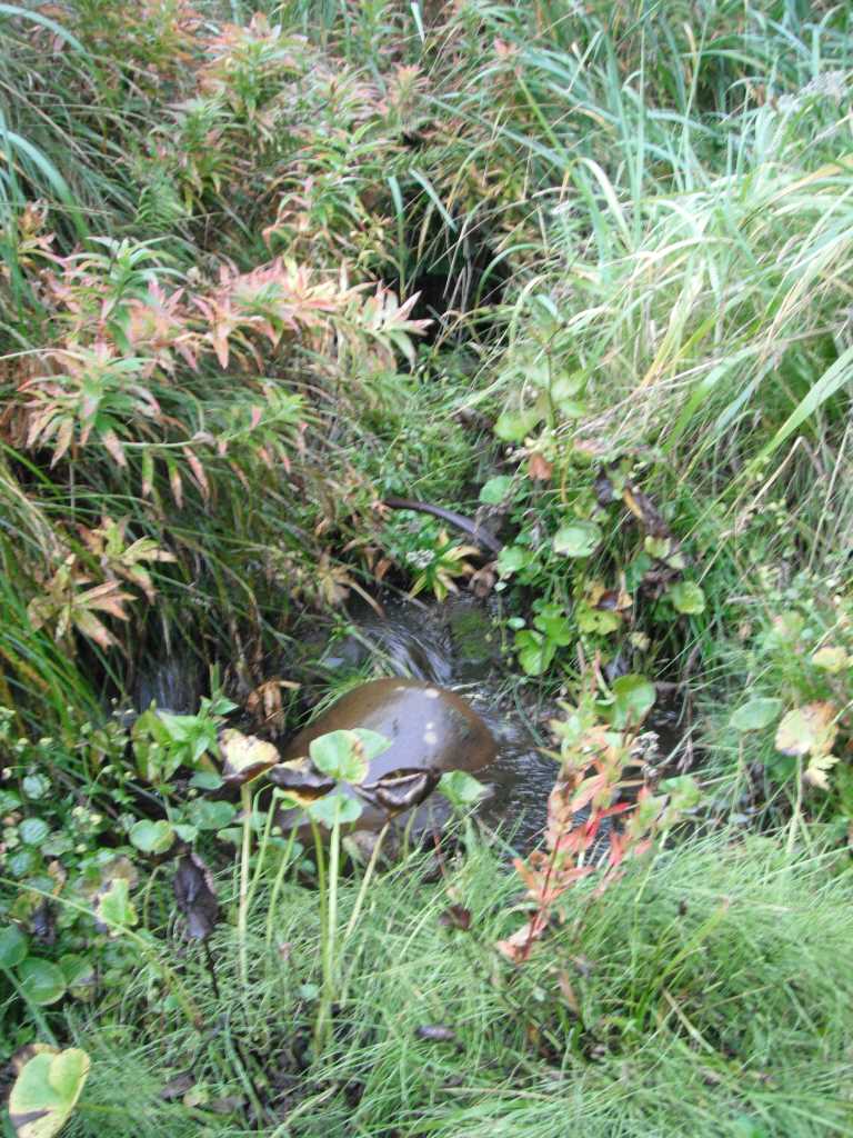
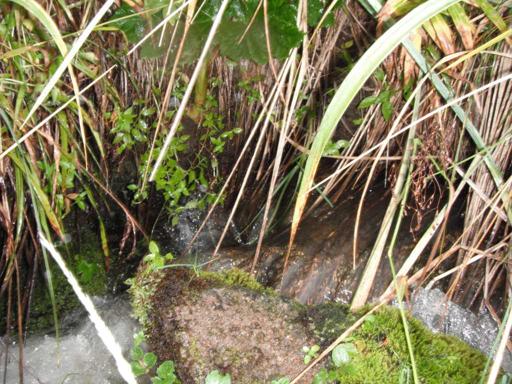
Comments: Culvert looks to be an old wooden box/bridge culvert. Could not access inverts very well. Looks like culvert may have collapsed. Site is above cataloged anadromy. |
|||||||||||||||||||||||||||||||||||||||||||
Stream Measurements
|
|
No stream width data available.
Elevations
No elevation data available.
Fish Sampling Efforts
No fish sampling occurred during this survey.
Fish Observations
No fish observations occurred during this survey.
Photos
Questions or comments about this report can be directed to dfg.dsf.webmaster@alaska.gov