Fish Passage Site 30103653
Coordinates (dec. deg.): 51.90001°, -176.62174°
Legal Description: S095S195W36
Region: Southwest
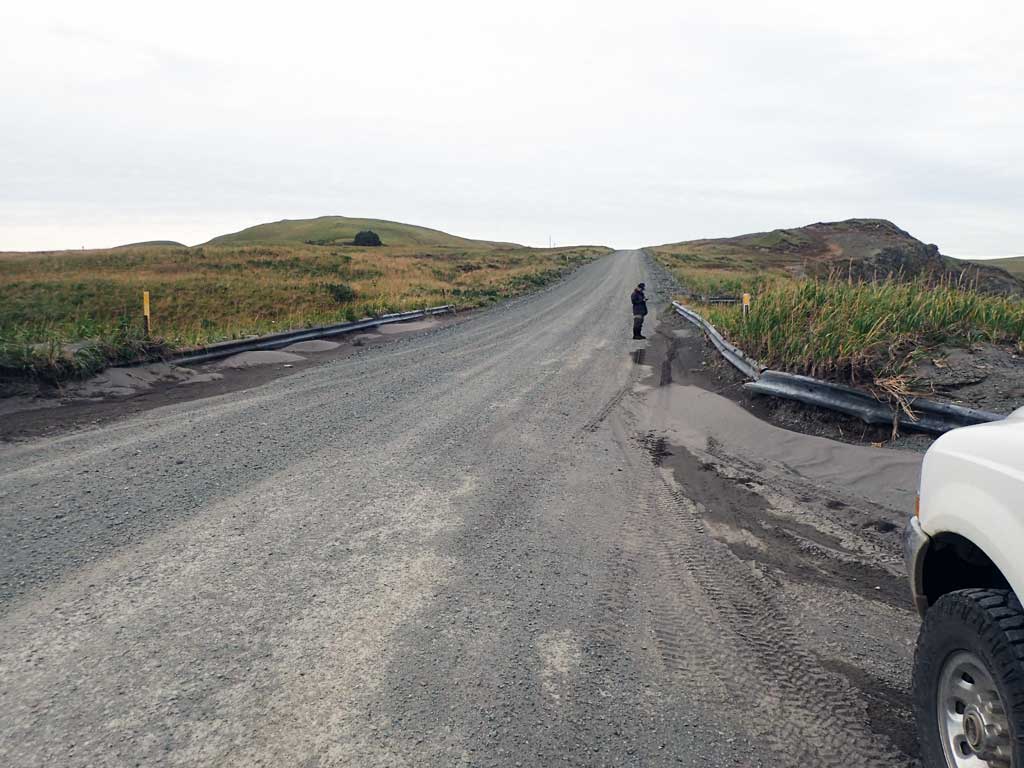
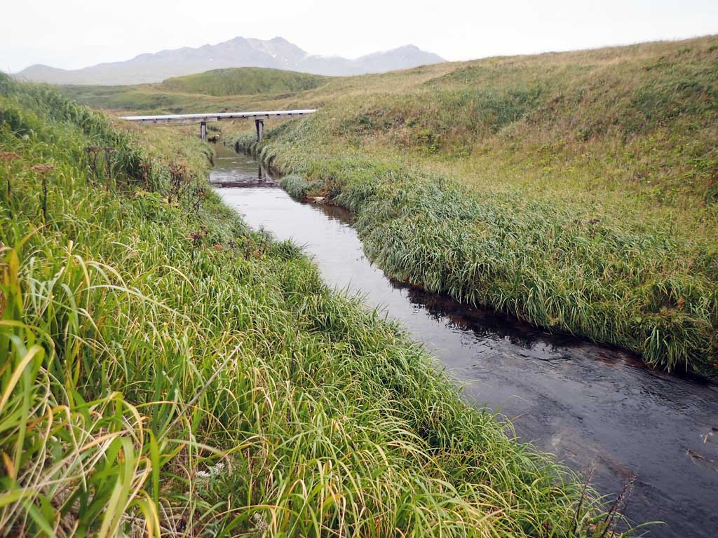
Road Name: Bayshore Highway
Datum: NAD83
Quad Name / ITM: Adak C-2
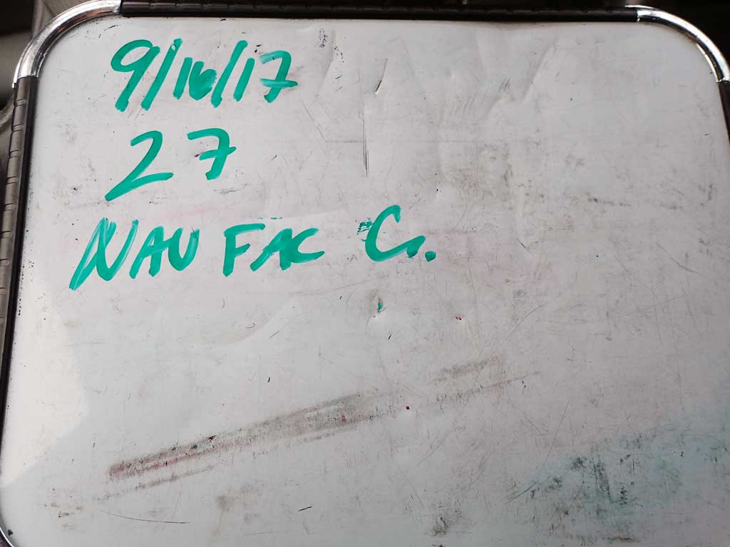
AWC Stream #: 306-70-10160
Stream Name: NAVFAC Creek
Elevation:
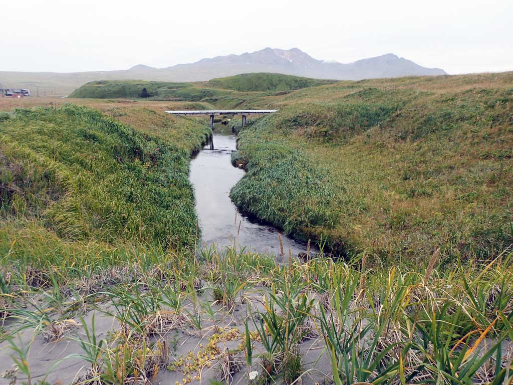
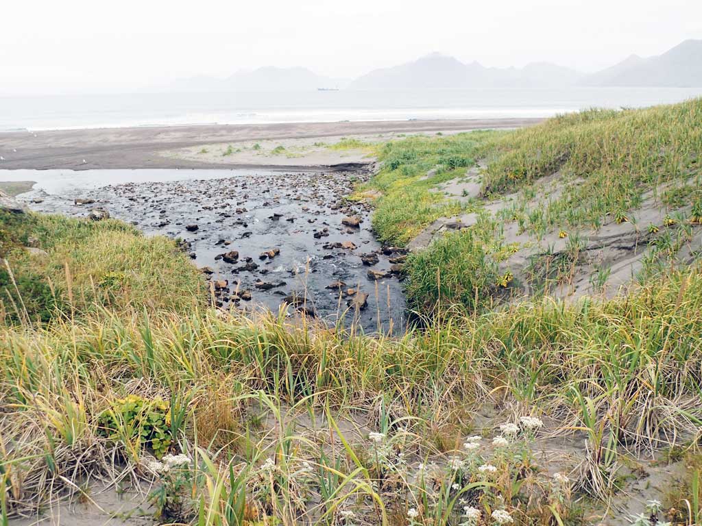
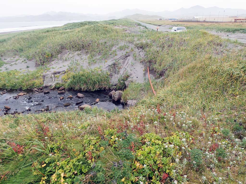
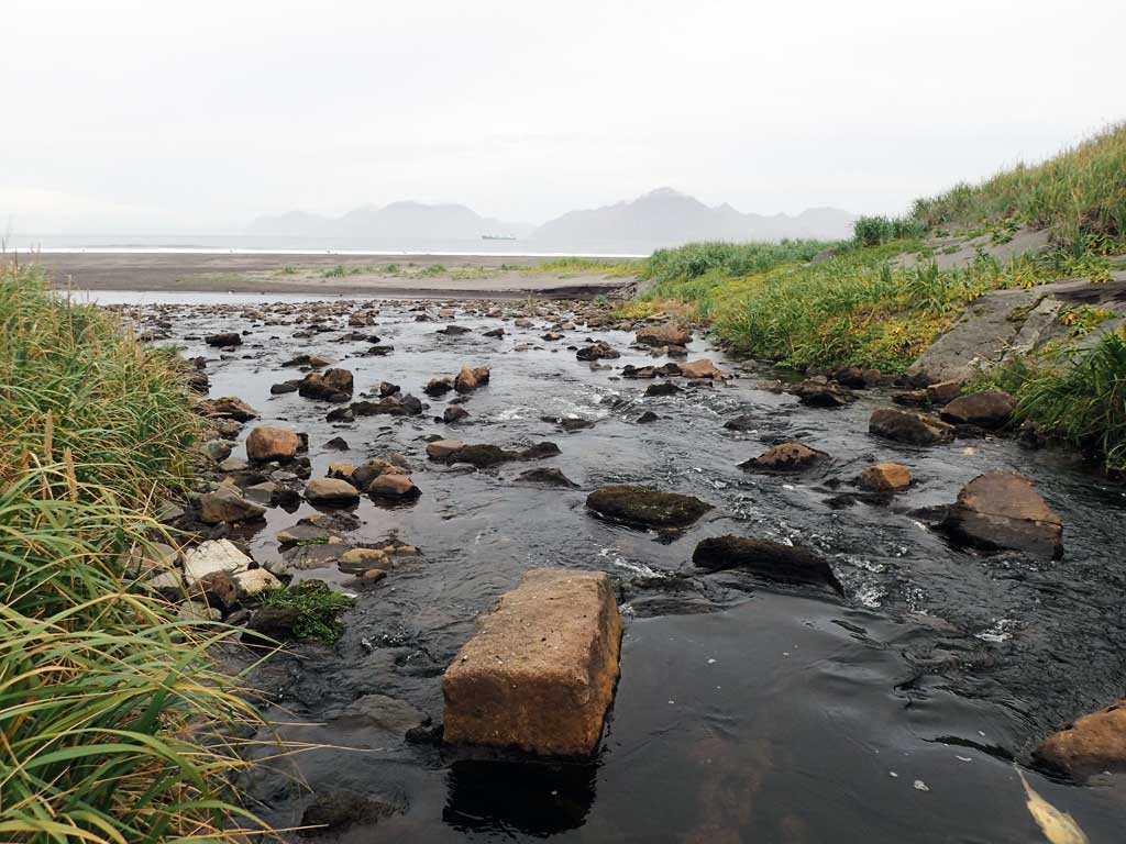
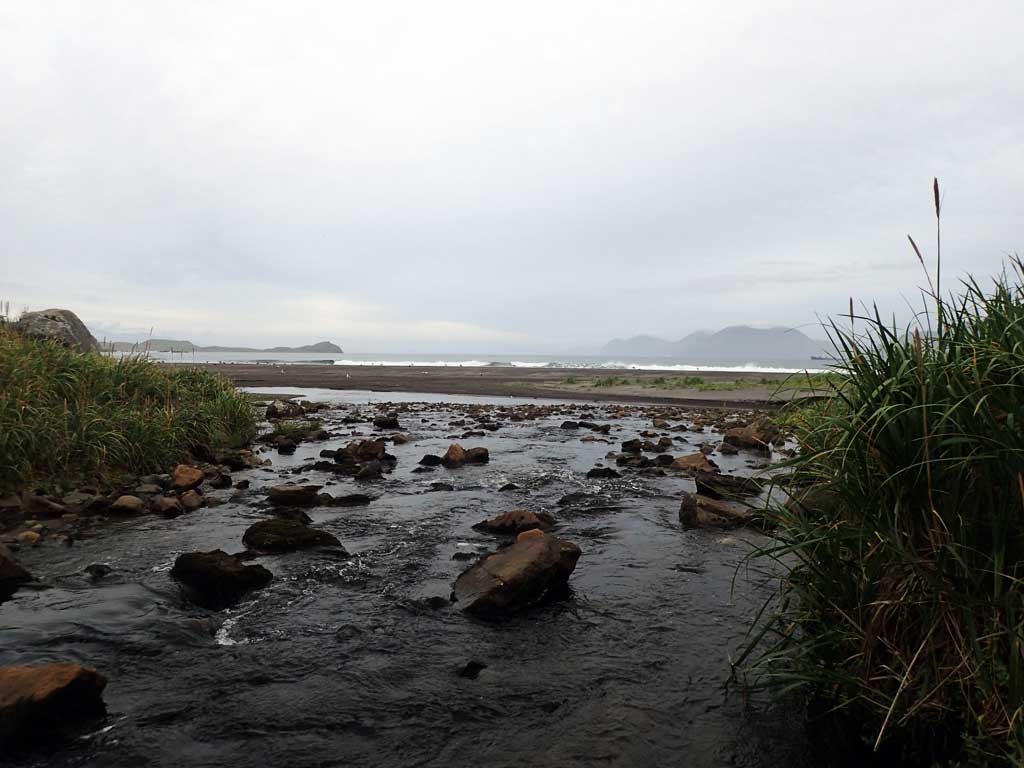
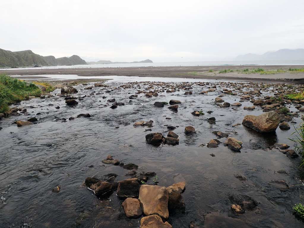
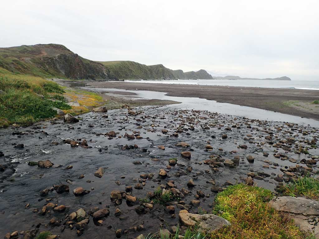
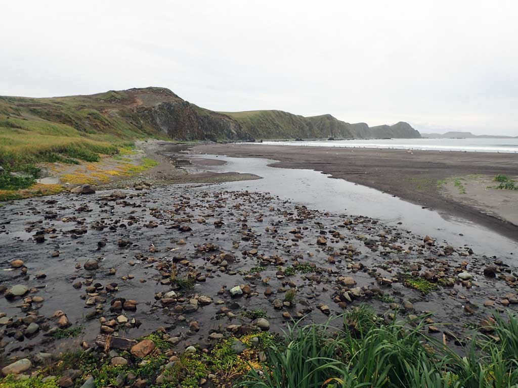
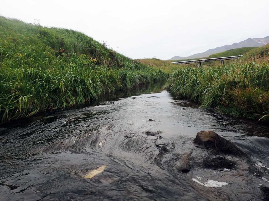
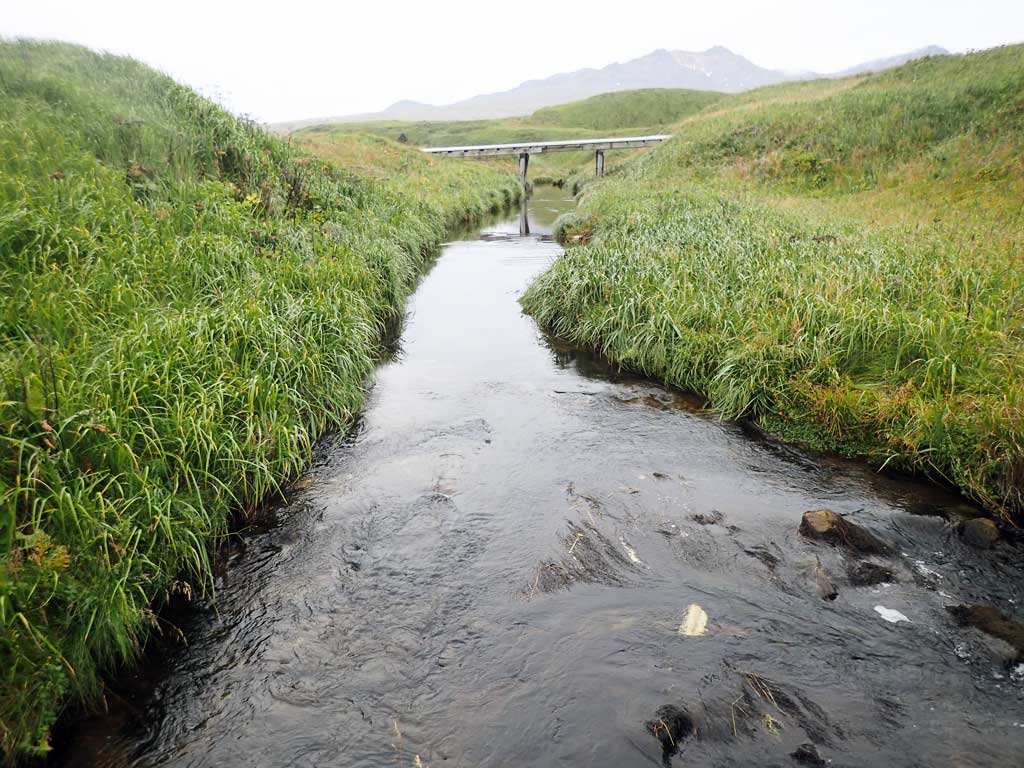
Site Comments: Creek empties out into Kuluk Bay directly downstream.
Survey ADAK17-C27
Observers: Mark Eisenman, Jeanette Alas
Overall Fish Passage Rating:
Tidal: Maybe
Backwatered: No
Step Pools: No
Construction Year:
Site Observations:
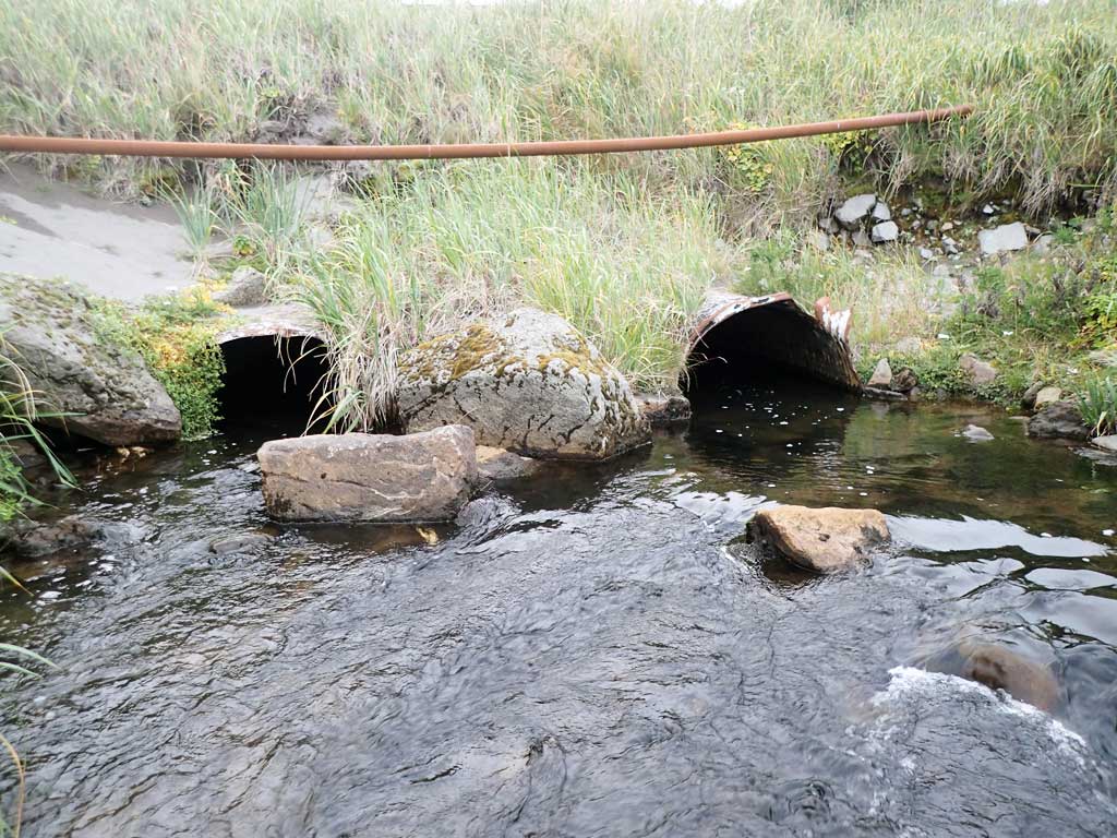
- Structural Problem
- Mechanical damage or joints parting
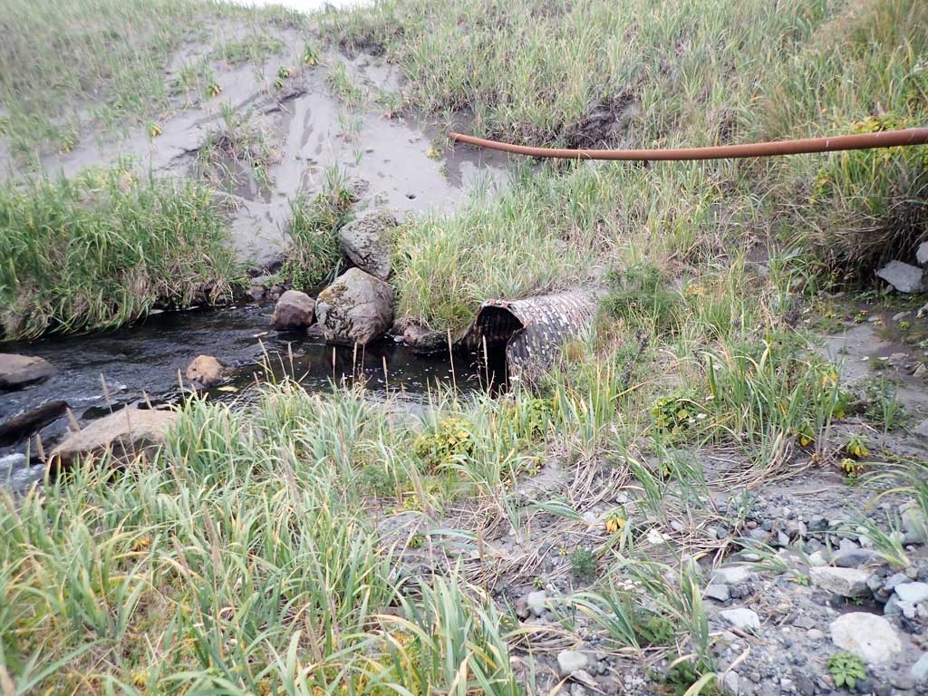
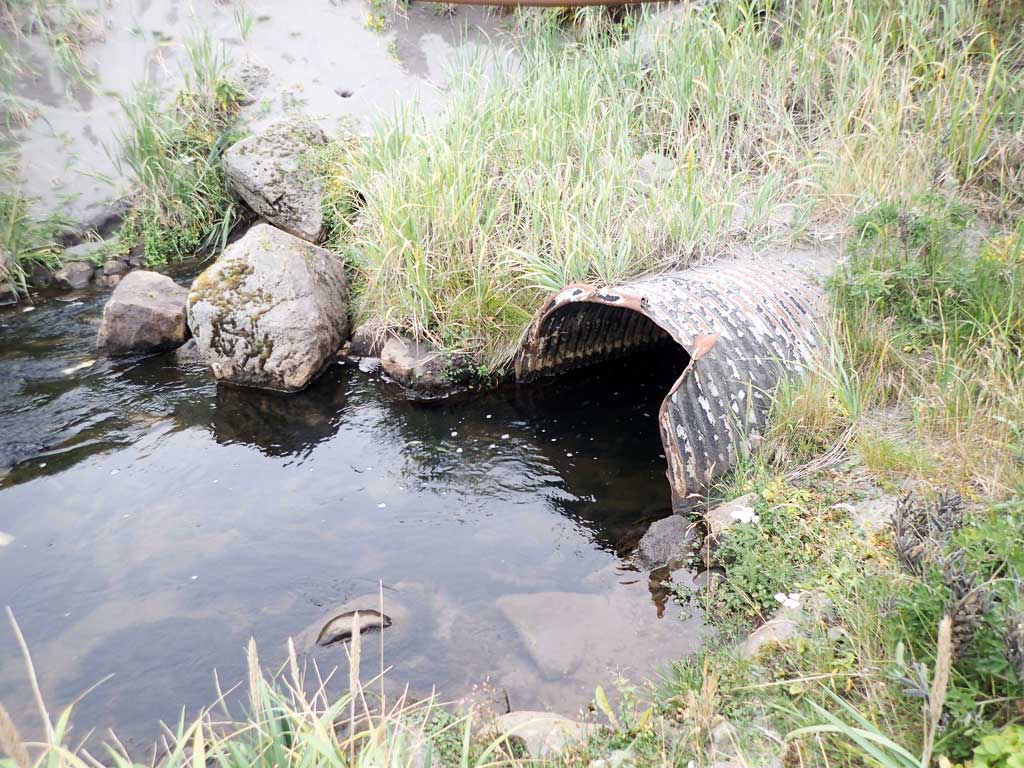
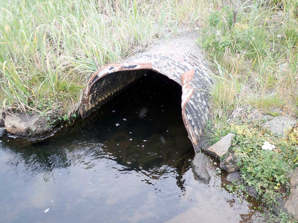
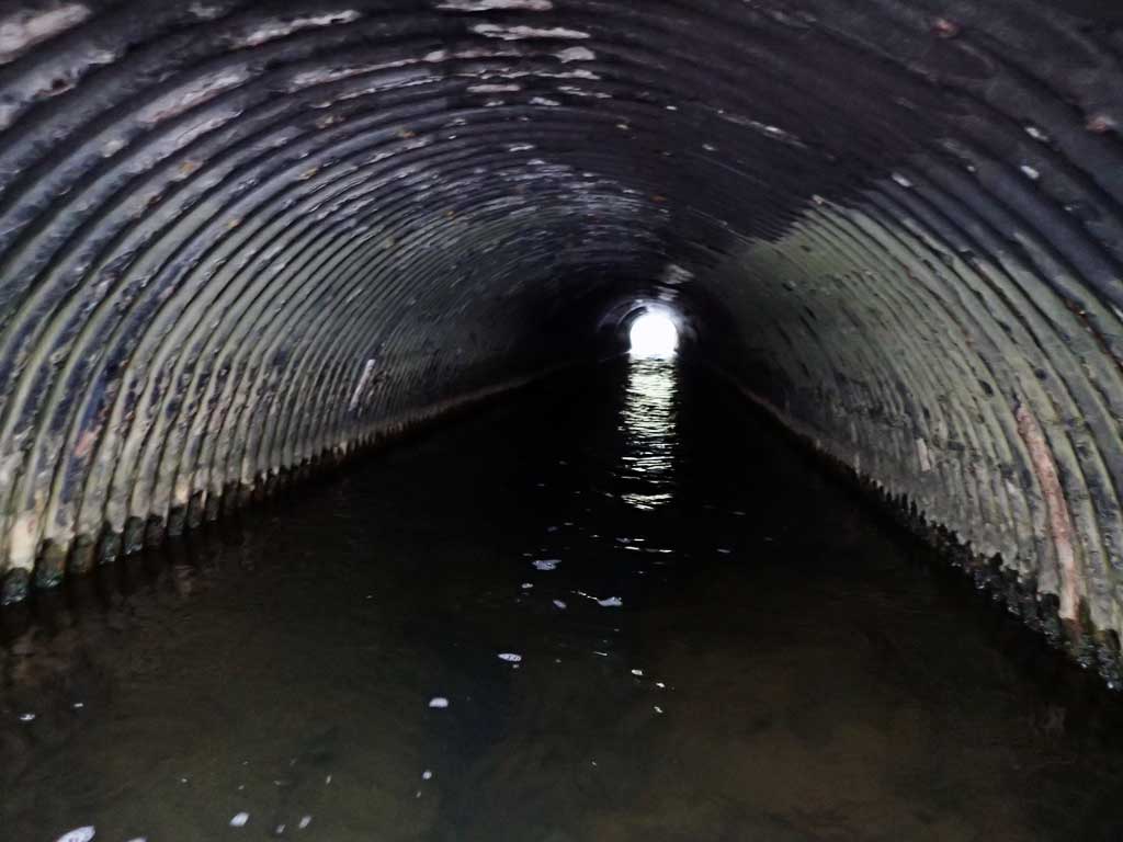
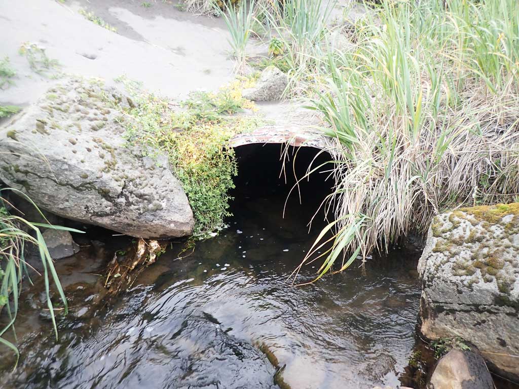
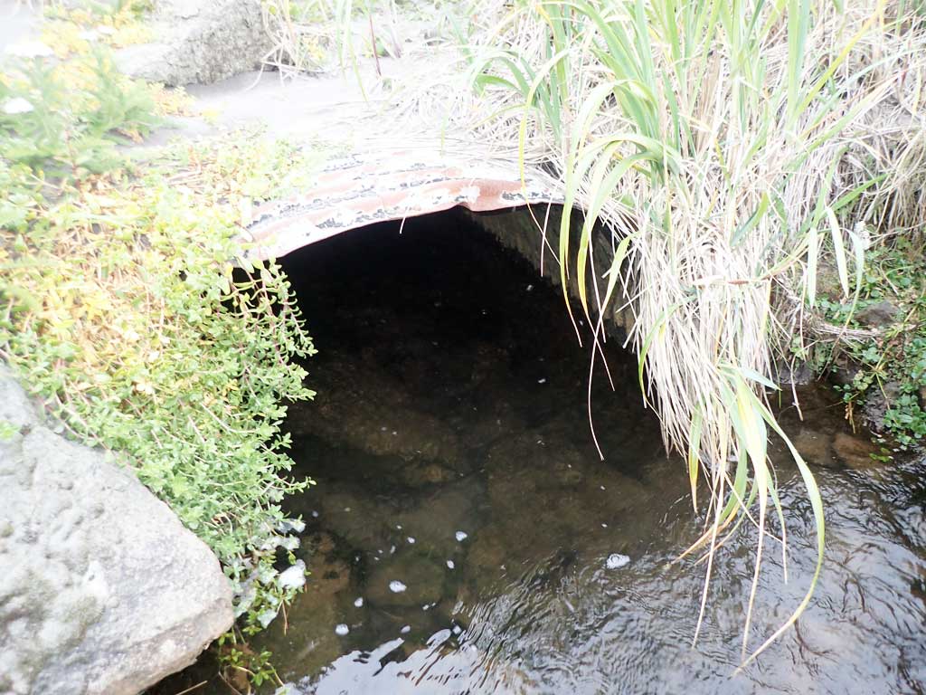
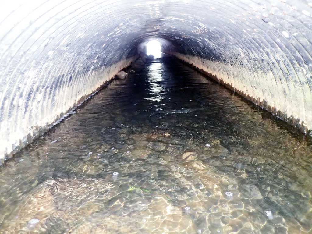
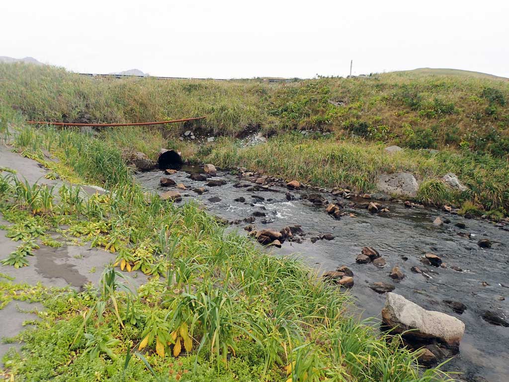
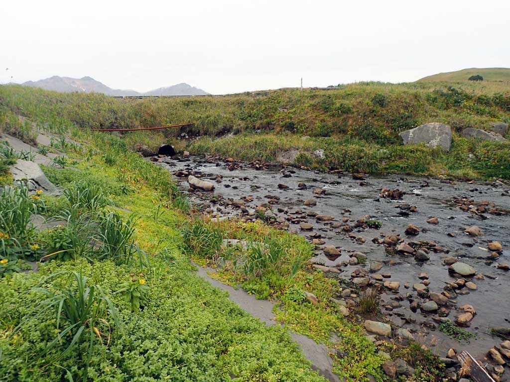
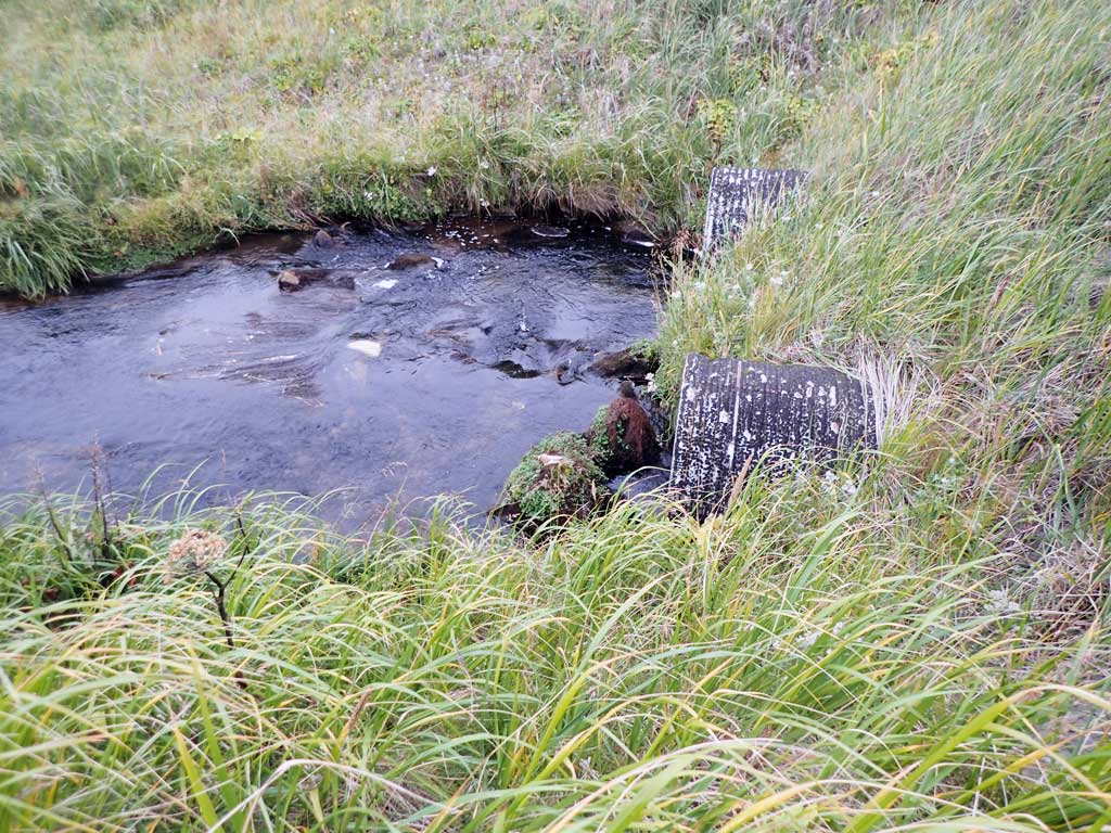
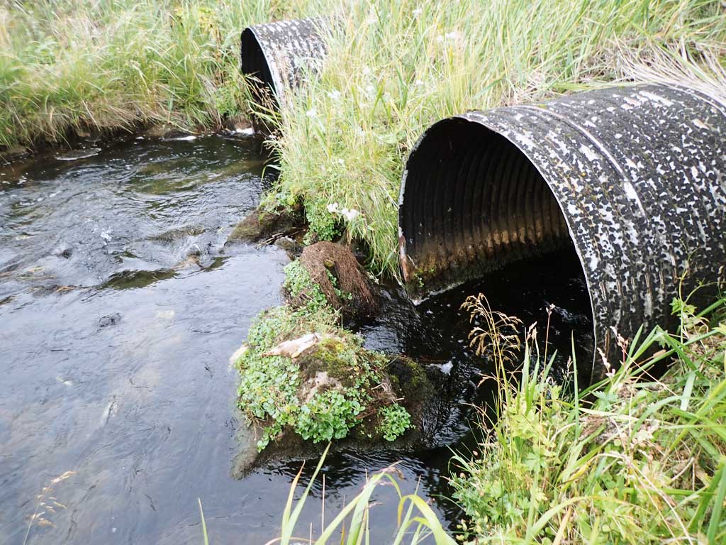
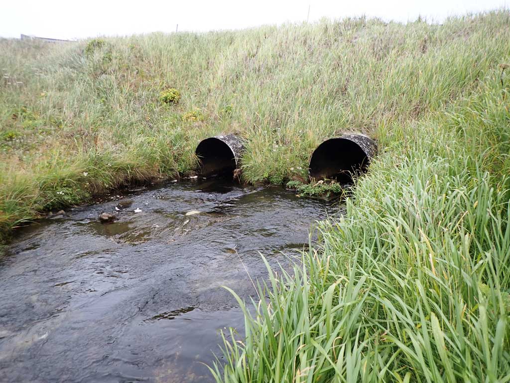
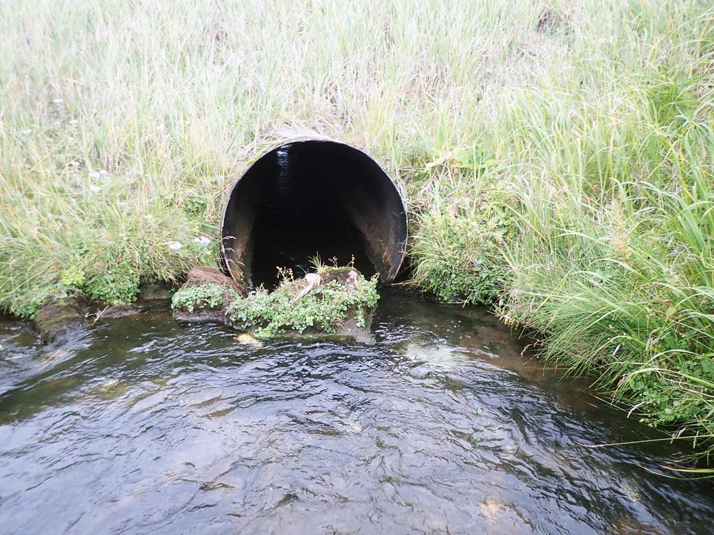
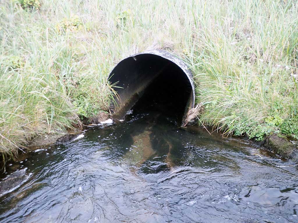
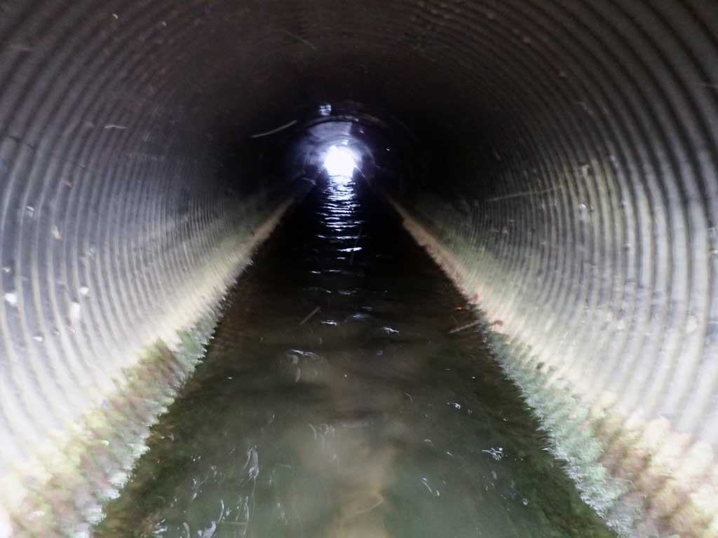
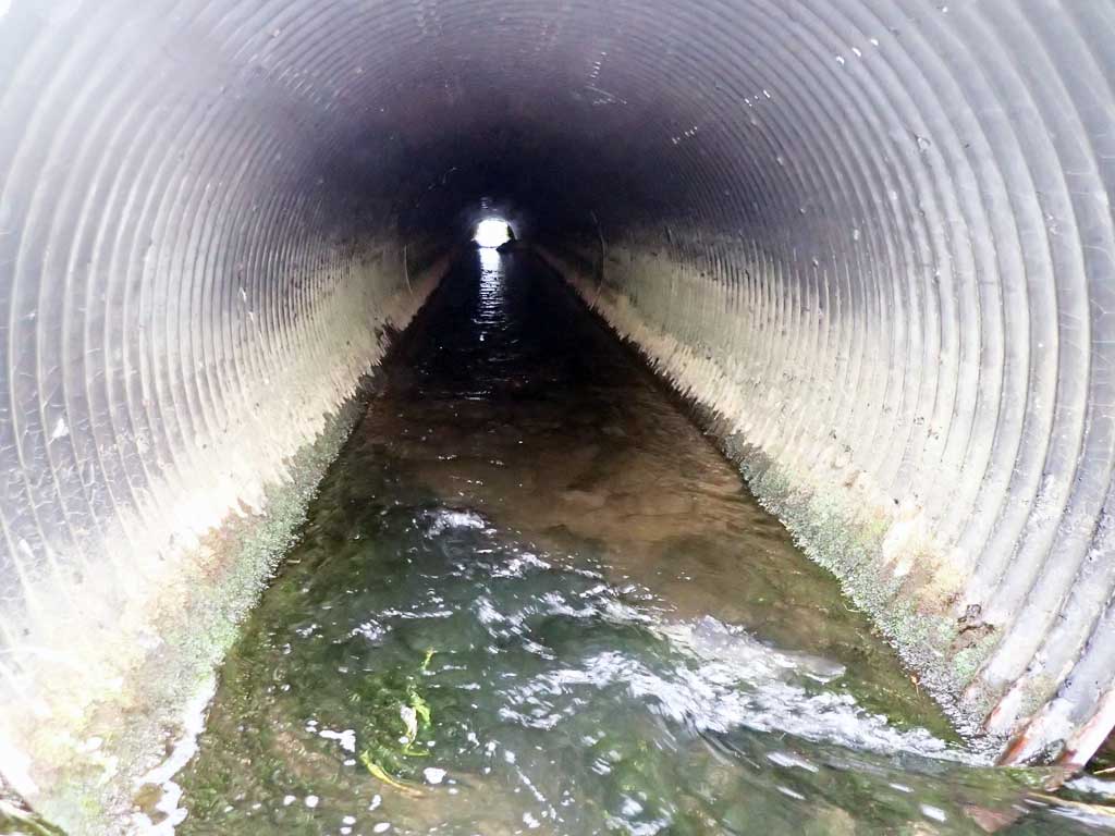
Comments: This information was gathered as part of the joint reconnaissance level project between the ADF&G Habitat Division and the Fish Passage Assessment Project on Adak Island. Due to time constraints full site assessments were not conducted, but base line information was collected. Culverts look to be in a tidally influenced area. Constriction looks to be an issue. Lots of large sediment deposited at inlets. There is some substrate through the culverts. It looks to be naturally deposited, but not to a depth that would make the site embedded. Culverts show significant signs of deterioration.
Culvert Measurements
| ID: 1 | Structure Type: Circular pipe (Structural steel plate) | Fish Passage Rating: | |||||||||||||||||||||||||||||||||||||||||
|
|
|
|||||||||||||||||||||||||||||||||||||||||
Comments: Culvert shows significant deterioration. Some sediment in barrel of culvert, but not to embedded depths. Large sediment aggradation at inlet. Culvert likely sees occasional tidal inundation. |
|||||||||||||||||||||||||||||||||||||||||||
| ID: 2 | Structure Type: Circular pipe (Corrugated steel) | Fish Passage Rating: | |||||||||||||||||||||||||||||||||||||||||
|
|
|
|||||||||||||||||||||||||||||||||||||||||
Comments: Culvert shows significant deterioration. Some sediment in barrel of culvert, but not to embedded depths. Large sediment aggradation at inlet. Culvert likely sees occasional tidal inundation. |
|||||||||||||||||||||||||||||||||||||||||||
Culvert Observations:
|
|||||||||||||||||||||||||||||||||||||||||||
Stream Measurements
|
|
No stream width data available.
Elevations
No elevation data available.
Fish Sampling Efforts
| Gear Type: Visual Observation, Ground (A) | ||
Fish Observations
| Species: adult spawning pink salmon | Life History: Anadromous | ||
| Total Fish Observed: 100 | Fish Measured: | Fork Lengths (mm) Min: Max: Mean: | |
| Collected/Observed by Gear Type: At Site Visual Observation, Ground (100) | |||
| Comments: Adult pinks observed upstream and downstream of culvert, both spawning and carcasses | |||
Photos

Questions or comments about this report can be directed to dfg.dsf.webmaster@alaska.gov