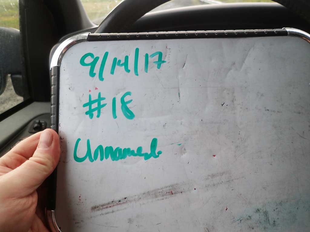
Fish Passage Site 30103651
Coordinates (dec. deg.): 51.91005°, -176.59712°
Legal Description: S095S194W31
Region: Southwest
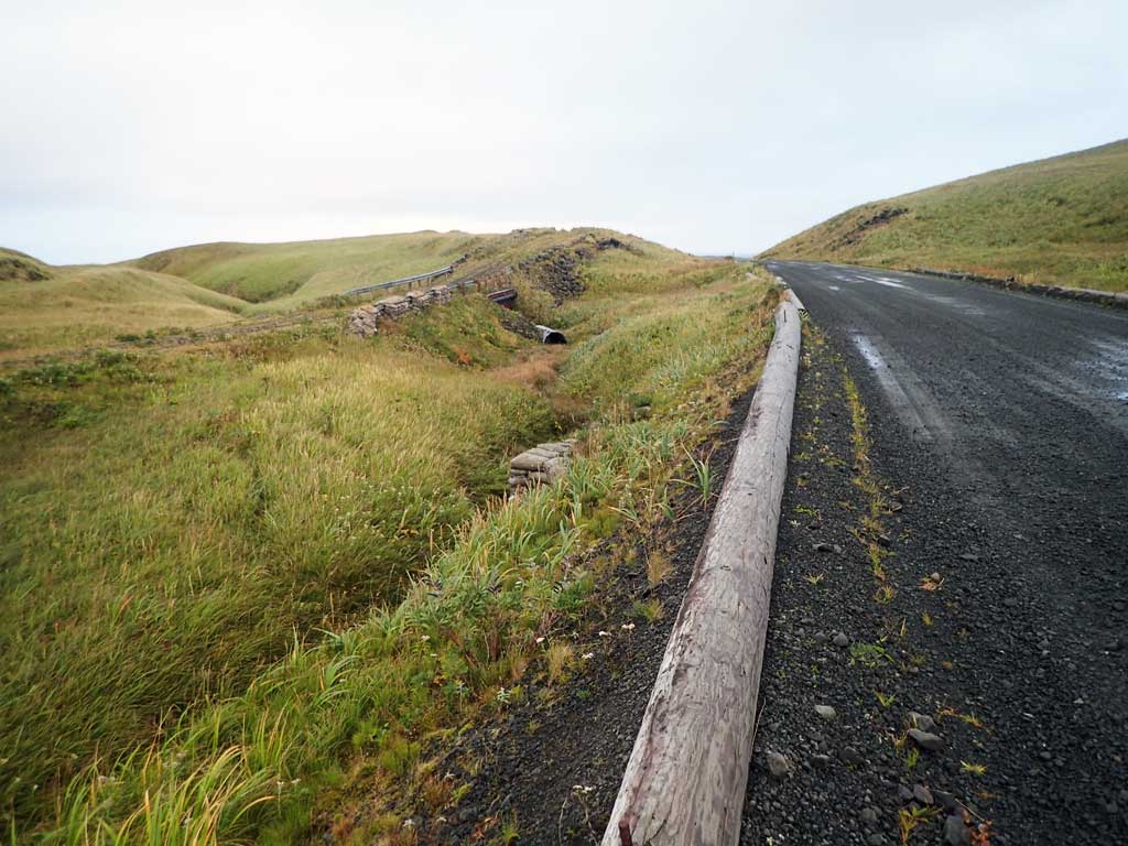
Road Name: Hillside Boulevard
Datum: NAD83
Quad Name / ITM: Adak C-2
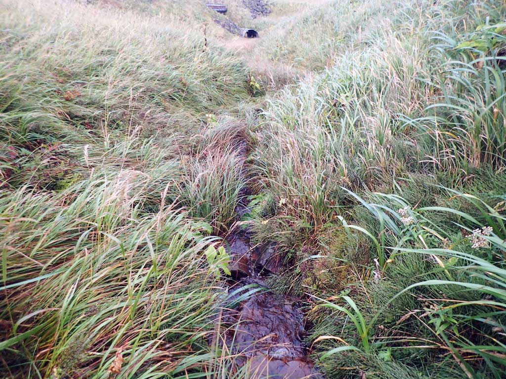
AWC Stream #:
Stream Name: Unnamed
Elevation:
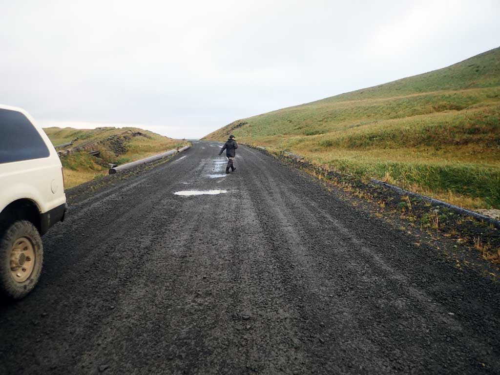
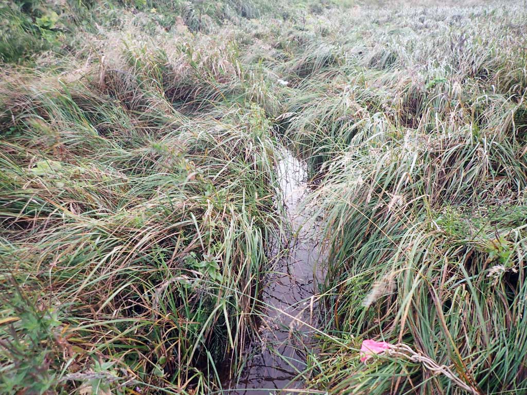
Site Comments: Site is upstream from C17 and downstream fro C19.
Survey ADAK17-C18
Observers: Mark Eisenman, Jeanette Alas
Overall Fish Passage Rating:
Tidal: No
Backwatered: No
Step Pools: No
Construction Year:
Site Observations:
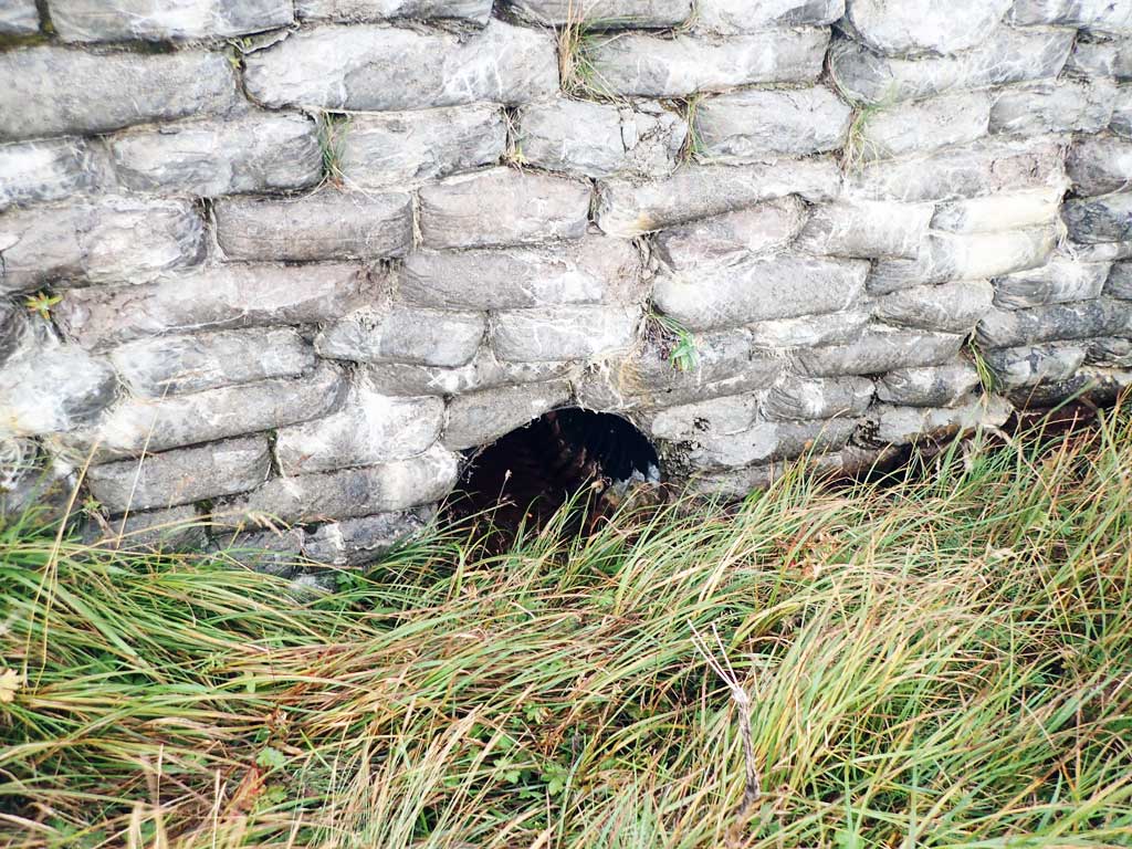
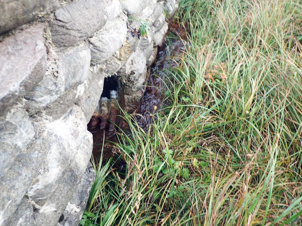
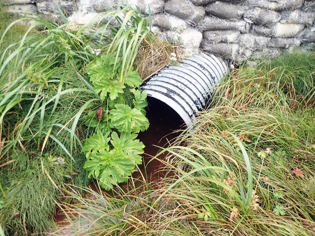
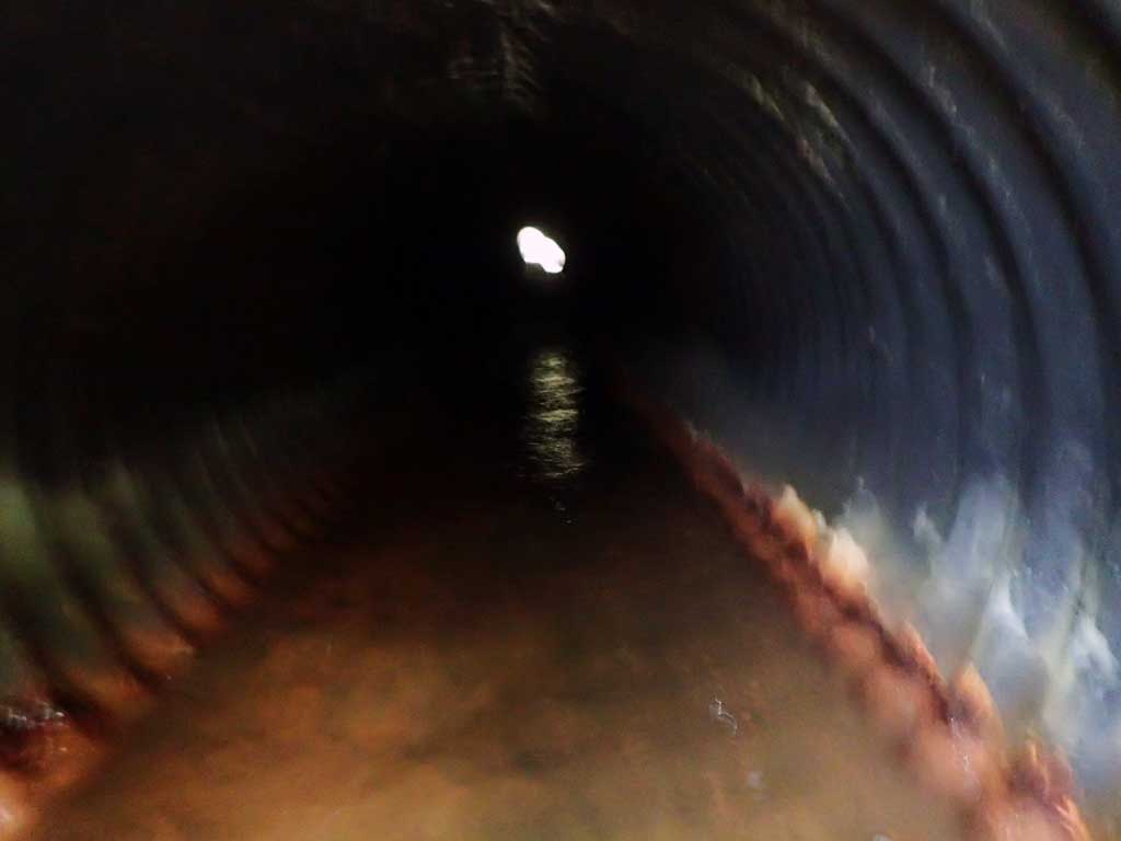
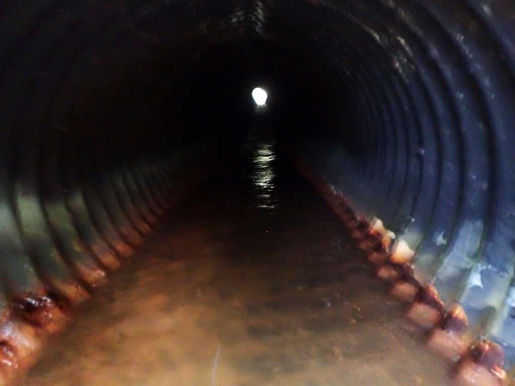
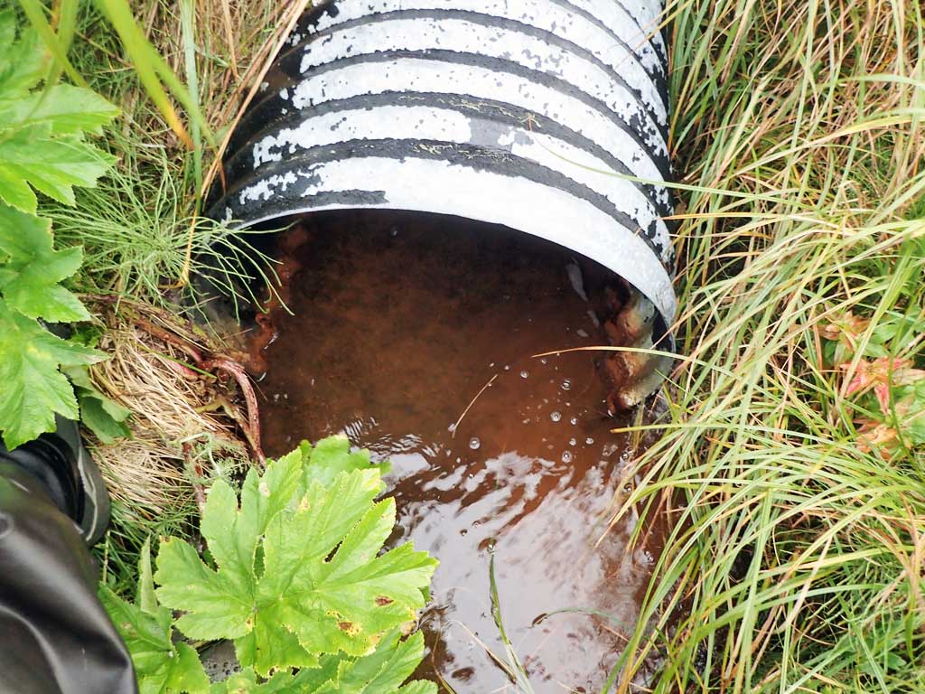
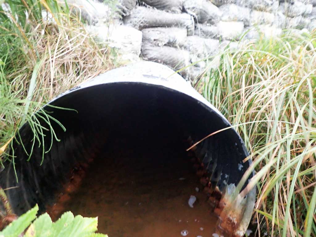
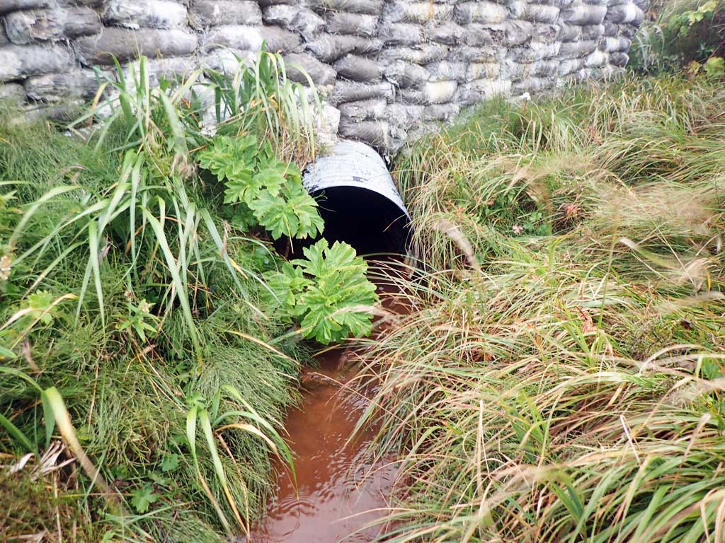
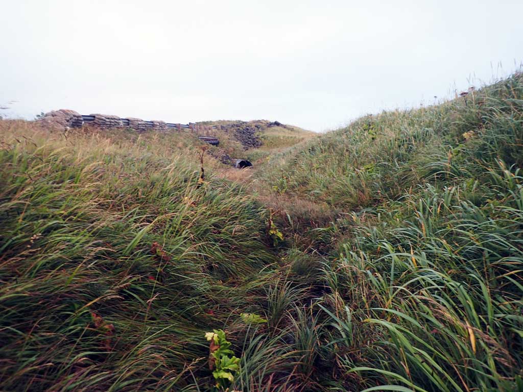
- Culvert is poorly aligned
- Inlet perch
Comments: This information was gathered as part of the joint reconnaissance level project between the ADF&G Habitat Division and the Fish Passage Assessment Project on Adak Island. Due to time constraints full site assessments were not conducted, but base line information was collected.
Culvert Measurements
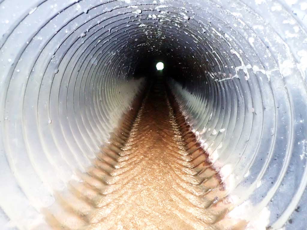
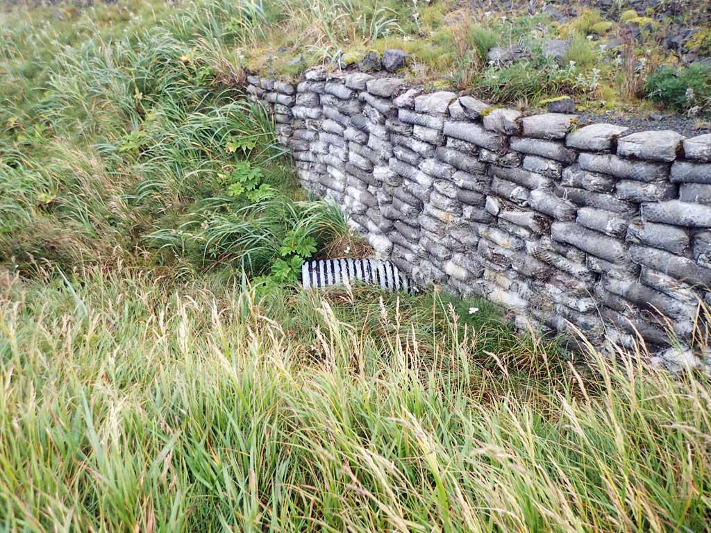
| ID: 1 | Structure Type: Circular pipe (Corrugated steel) | Fish Passage Rating: | |||||||||||||||||||||||||||||||||||||||||
|
|
|
|||||||||||||||||||||||||||||||||||||||||
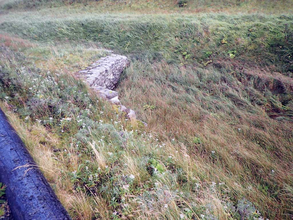
Comments: Concrete pillow headwalls. |
|||||||||||||||||||||||||||||||||||||||||||
Culvert Observations:
|
|||||||||||||||||||||||||||||||||||||||||||
Stream Measurements
|
|
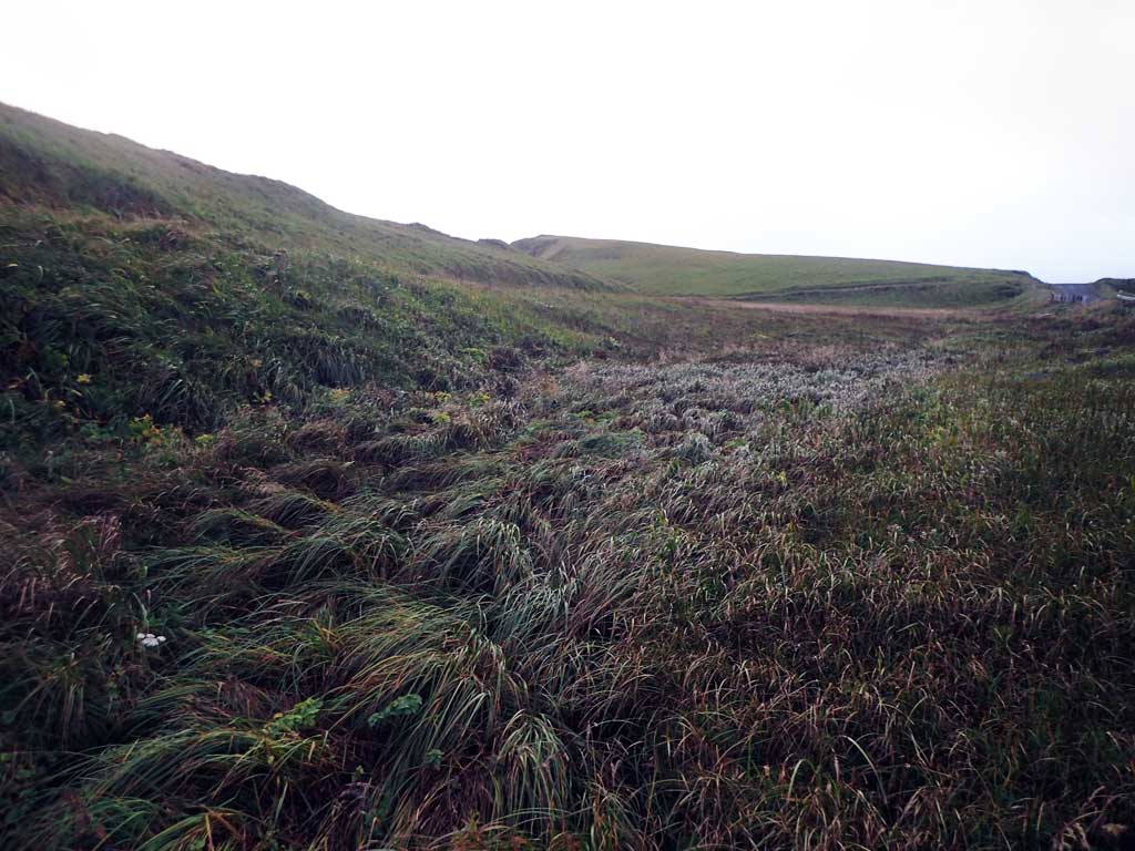
No stream width data available.
Elevations
No elevation data available.
Fish Sampling Efforts
| Gear Type: Minnow Trap (A) | Trap Duration(h): 26.2 | |
| Comments: No fish caught or observed. | ||
Fish Observations
No fish observations occurred during this survey.
Photos
Questions or comments about this report can be directed to dfg.dsf.webmaster@alaska.gov