Fish Passage Site 30103650
Coordinates (dec. deg.): 51.85988°, -176.67981°
Legal Description: S096S195W16
Region: Southwest
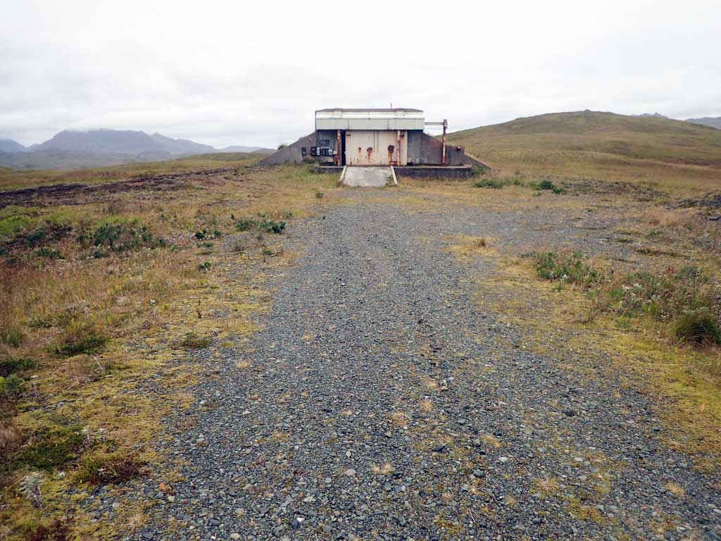
Road Name: Bunker Access
Datum: NAD83
Quad Name / ITM: Adak C-3
AWC Stream #:
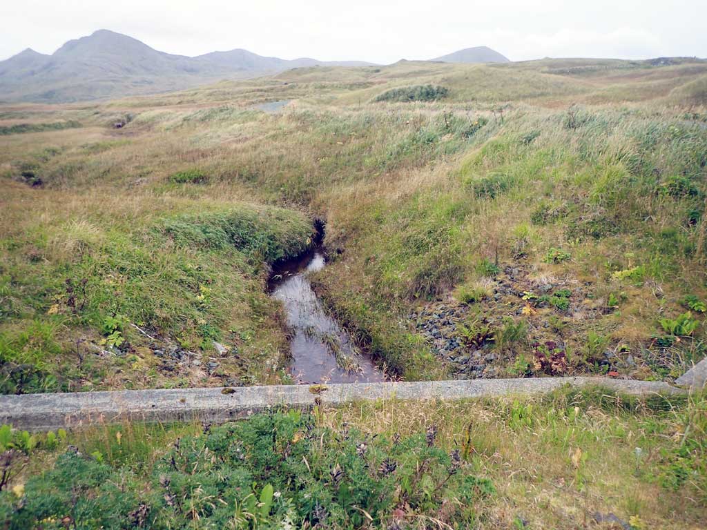
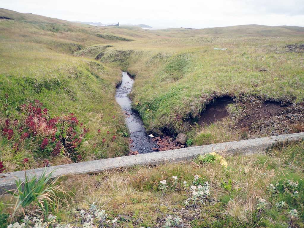
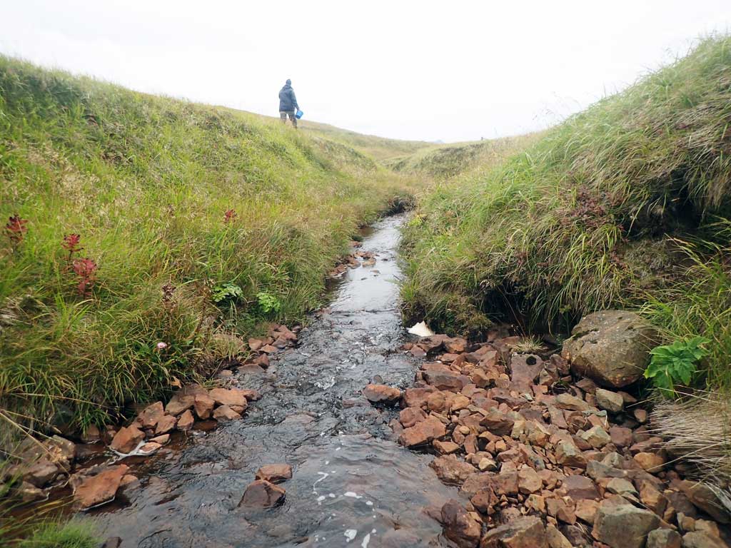
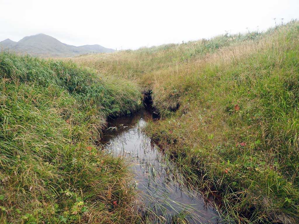
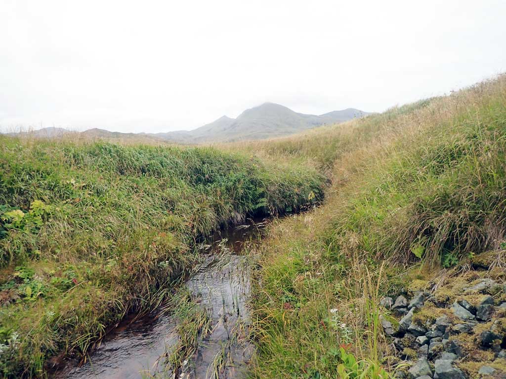
Stream Name: Amulet Creek
Elevation:
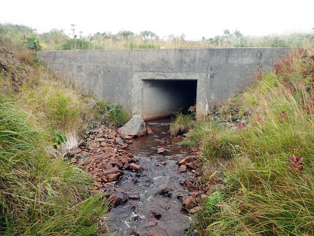
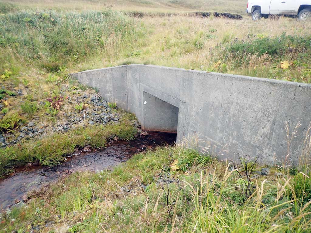
Site Comments: Crossing is above catalogued anadromy.
Survey ADAK17-C174
Observers: Mark Eisenman, Jeanette Alas
Overall Fish Passage Rating:
Tidal:
Backwatered:
Step Pools:
Construction Year:
Site Observations:
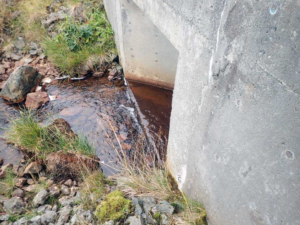
- Outfall height gray
Comments: This information was gathered as part of the joint reconnaissance level project between the ADF&G Habitat Division and the Fish Passage Assessment Project on Adak Island. Due to time constraints full site assessments were not conducted, but base line information was collected.
Culvert Measurements
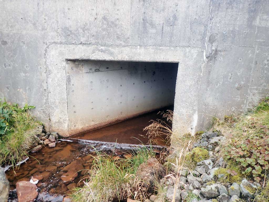
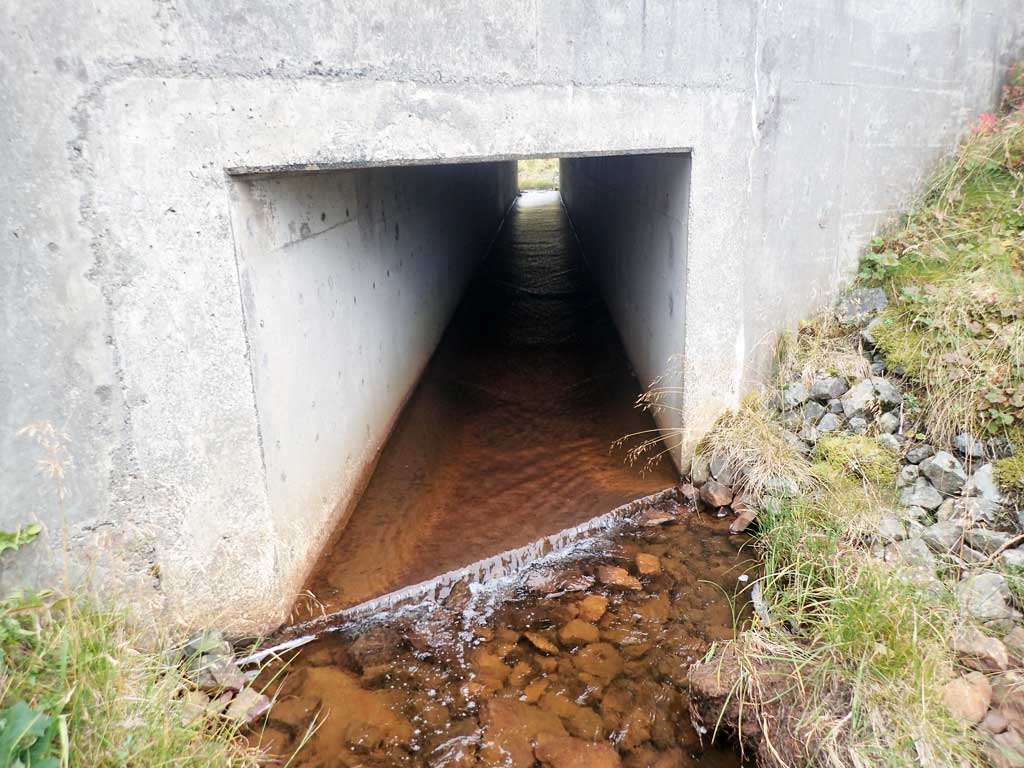
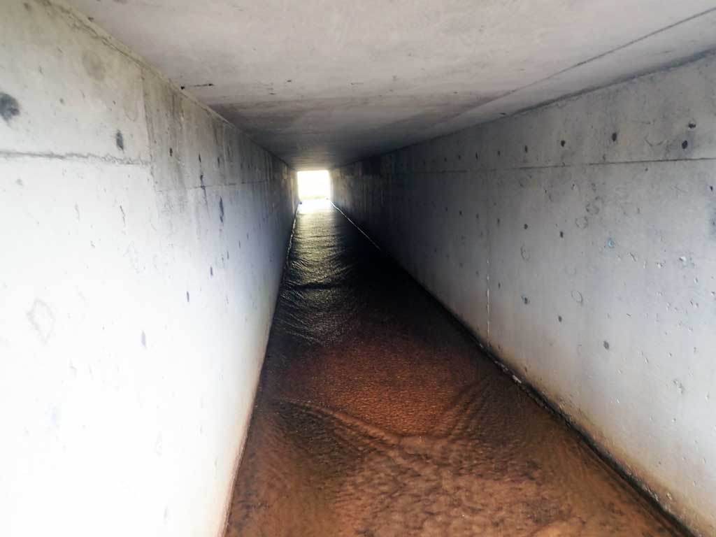
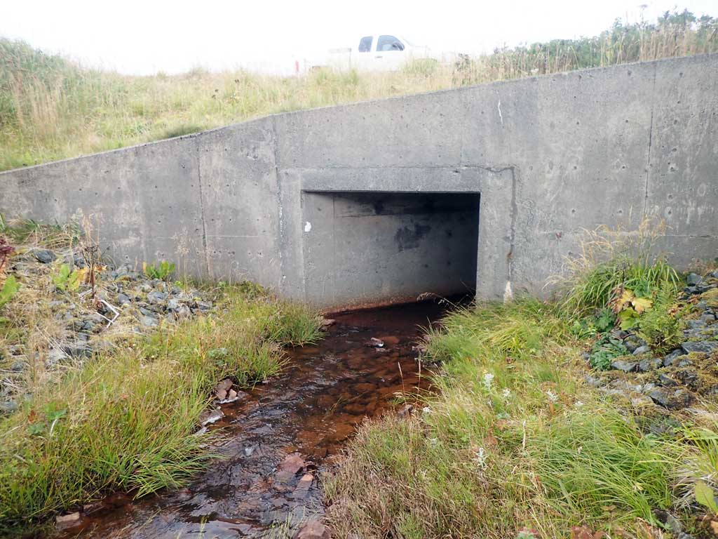
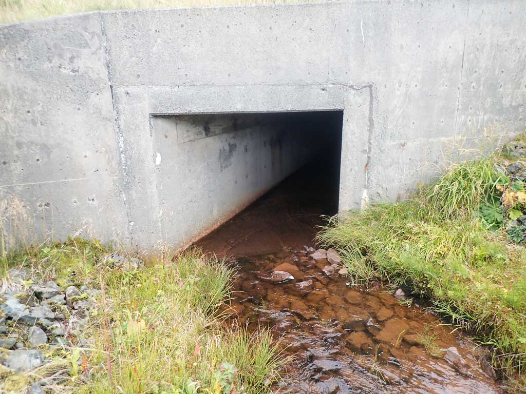
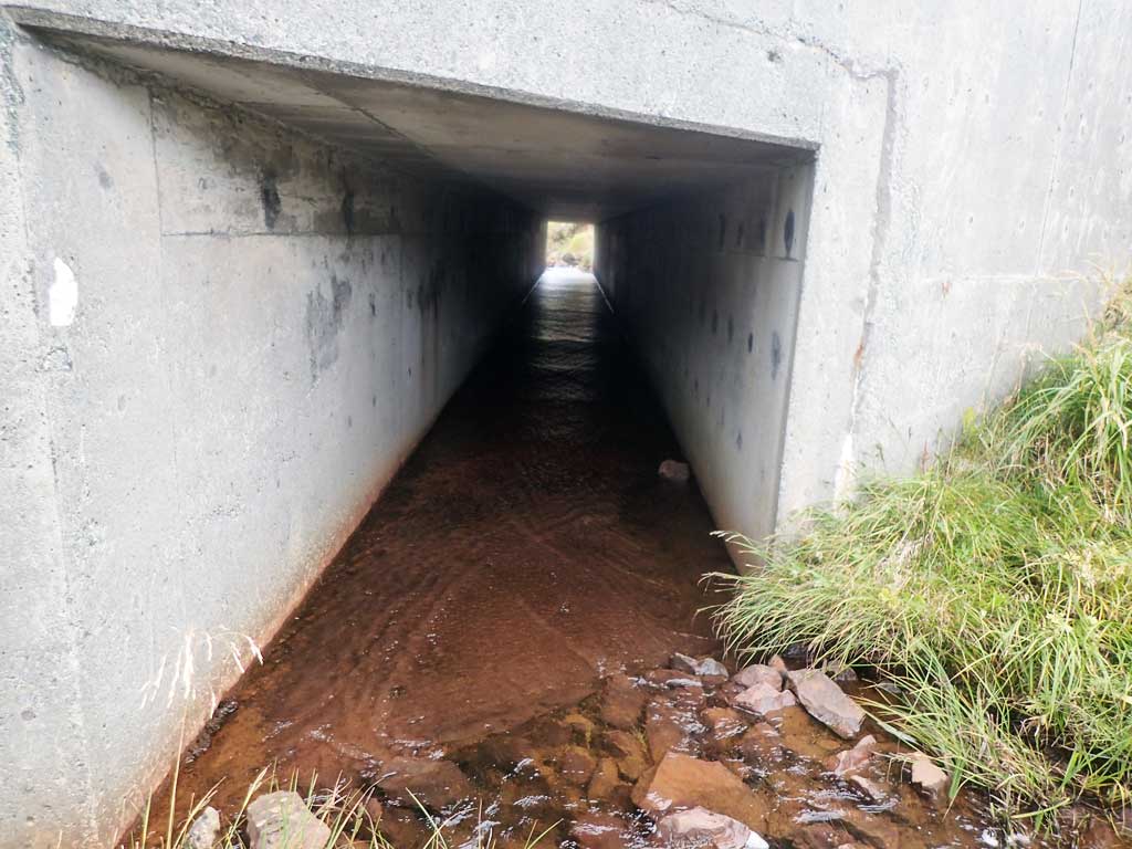
| ID: 1 | Structure Type: Box culvert (Reinforced concrete) | Fish Passage Rating: | |||||||||||||||||||||||||||||||||||||||||
|
|
|
|||||||||||||||||||||||||||||||||||||||||
Comments: Culvert length estimated from aerial imagery. Outfall not over 0.40 inches (gray). This culvert may have a water depth barrier through the crossing. |
|||||||||||||||||||||||||||||||||||||||||||
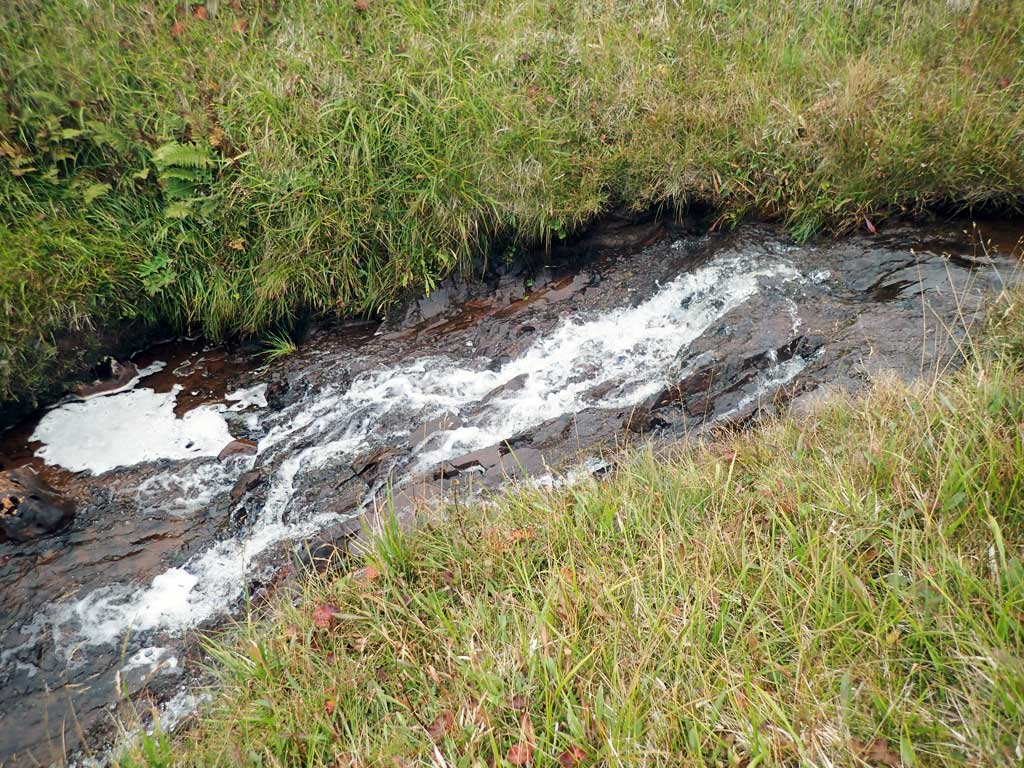
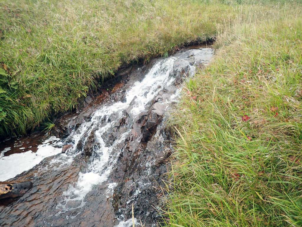
Stream Measurements
|
|
No stream width data available.
Elevations
No elevation data available.
Fish Sampling Efforts
| Gear Type: Minnow Trap (A) | Trap Duration(h): 16.0 | |
| Comments: No fish caught. | ||
Fish Observations
No fish observations occurred during this survey.
Photos

Questions or comments about this report can be directed to dfg.dsf.webmaster@alaska.gov