Fish Passage Site 30103649
Coordinates (dec. deg.): 51.86475°, -176.64861°
Legal Description: S096S195W14
Region: Southwest
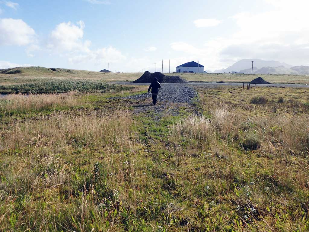
Road Name: Airport Access Road
Datum: NAD83
Quad Name / ITM: Adak C-2
AWC Stream #:
Stream Name: Unnamed
Elevation:
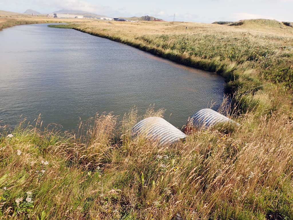
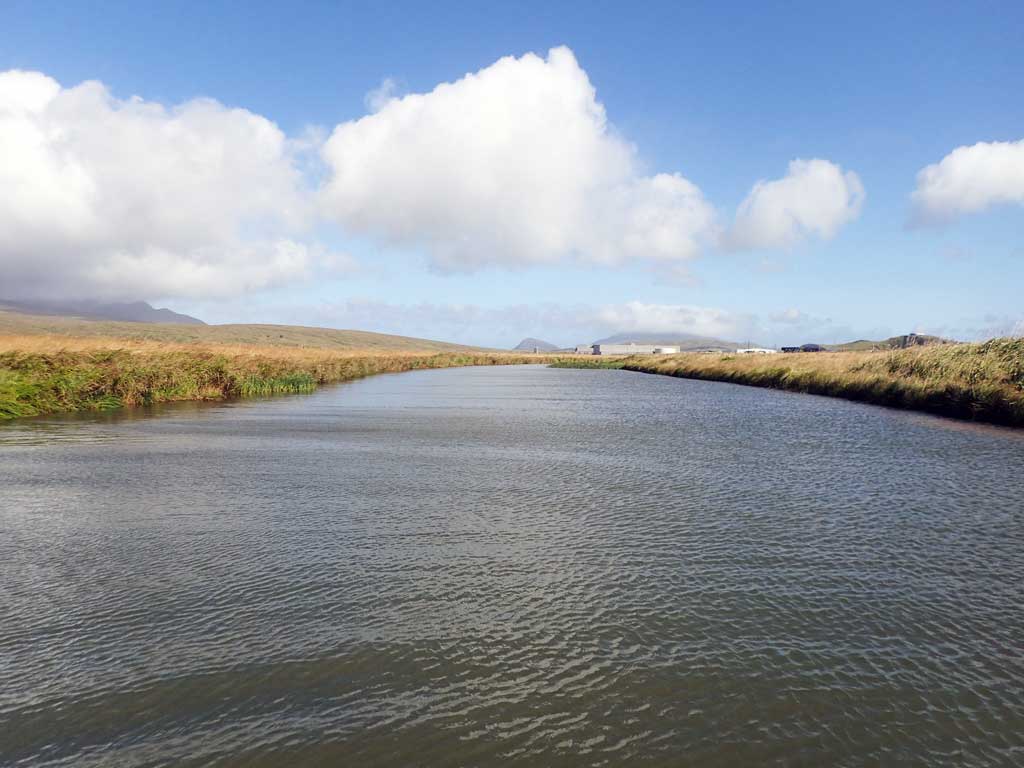
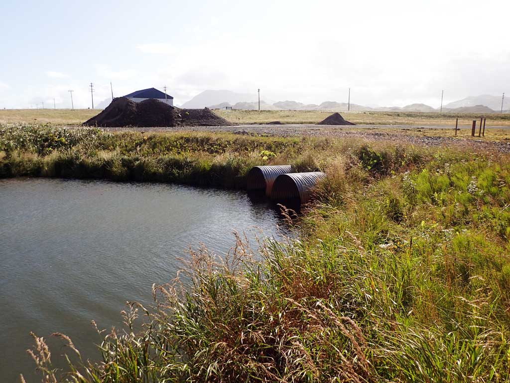
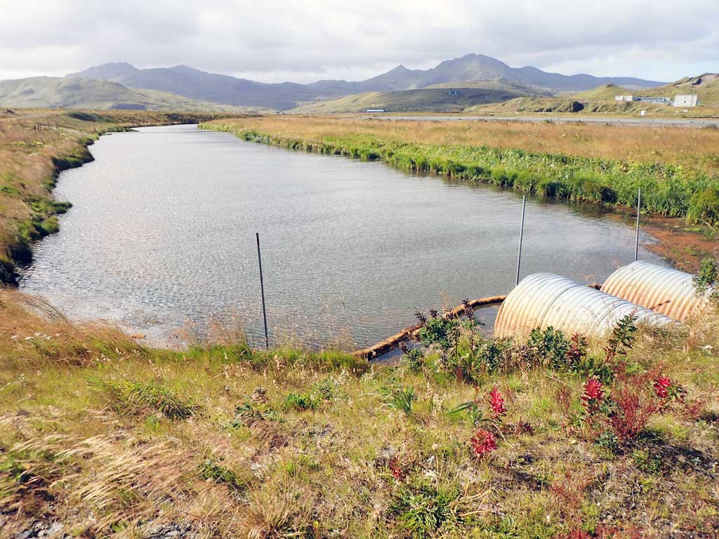
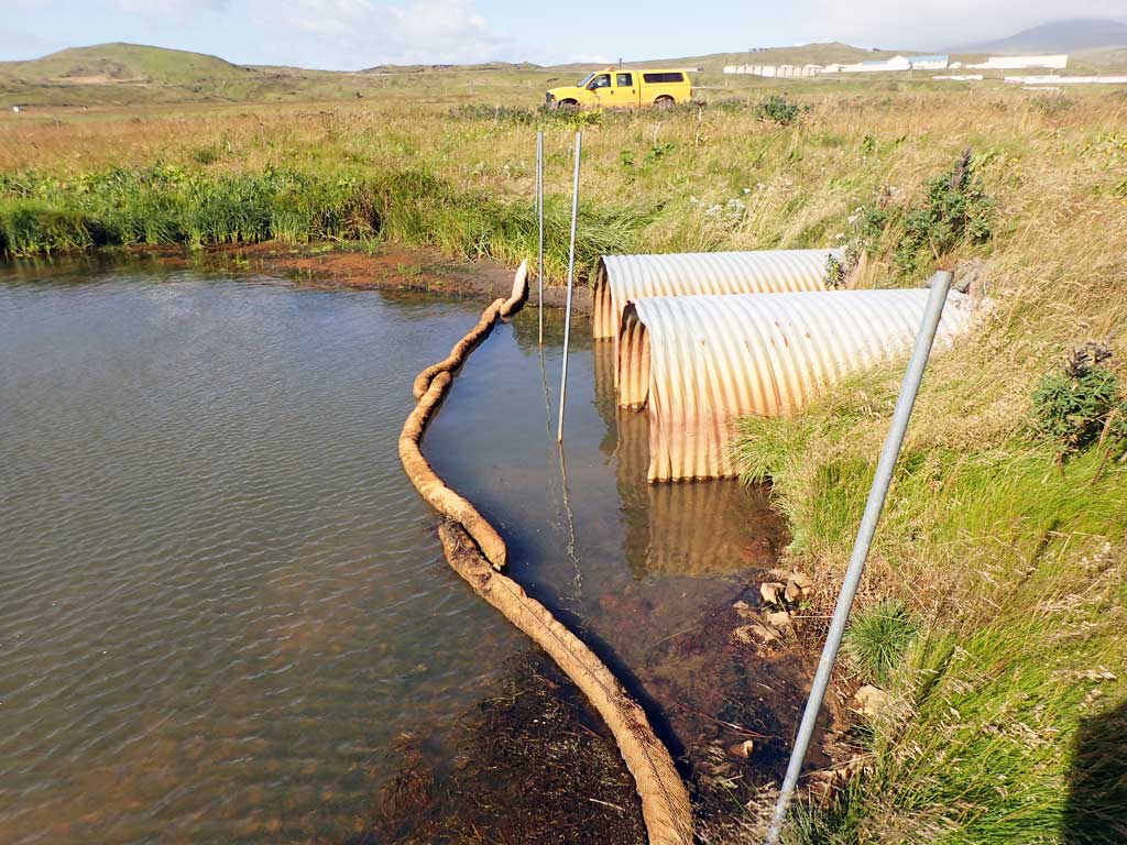
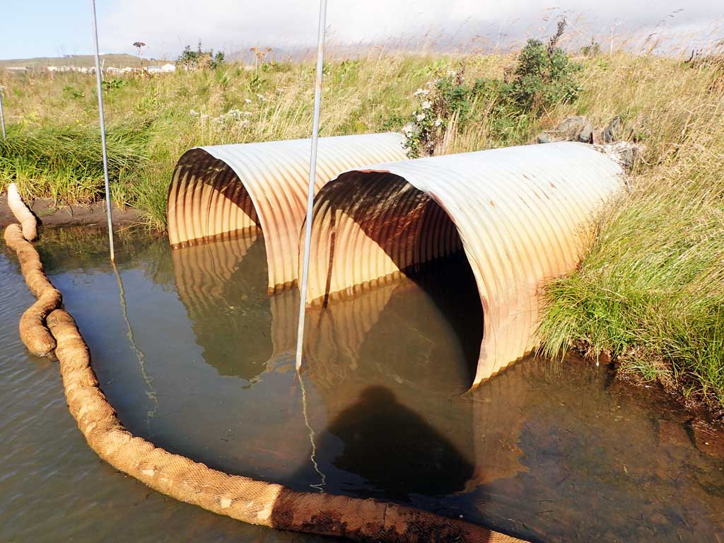
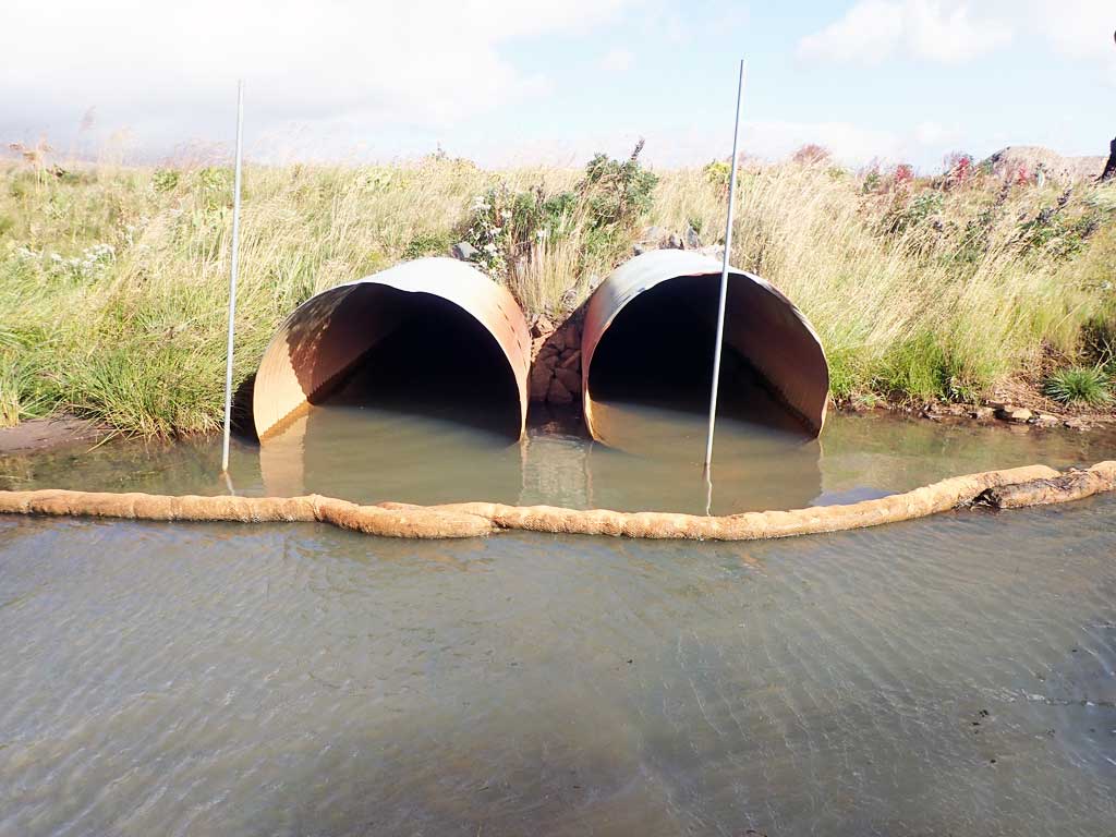
Site Comments: Airport Ditch. Upstream from C169
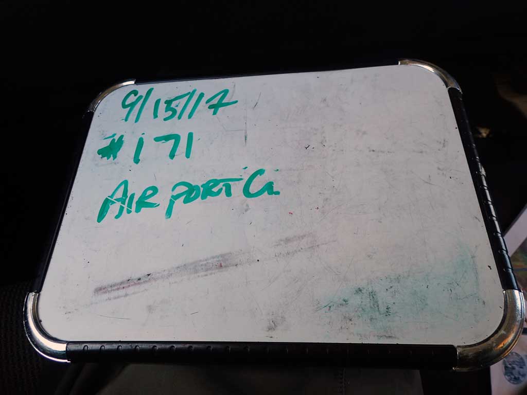
Survey ADAK17-C171
Observers: Mark Eisenman, Jeanette Alas
Overall Fish Passage Rating:
Tidal: No
Backwatered: Maybe
Step Pools: No
Construction Year:
Comments: This information was gathered as part of the joint reconnaissance level project between the ADF&G Habitat Division and the Fish Passage Assessment Project on Adak Island. Due to time constraints full site assessments were not conducted, but base line information was collected.
Culvert Measurements
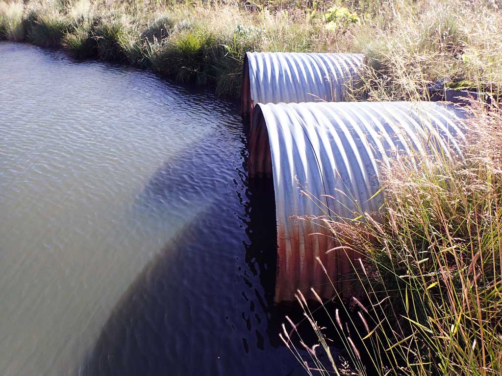
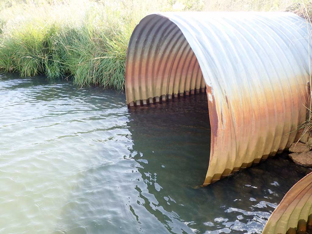
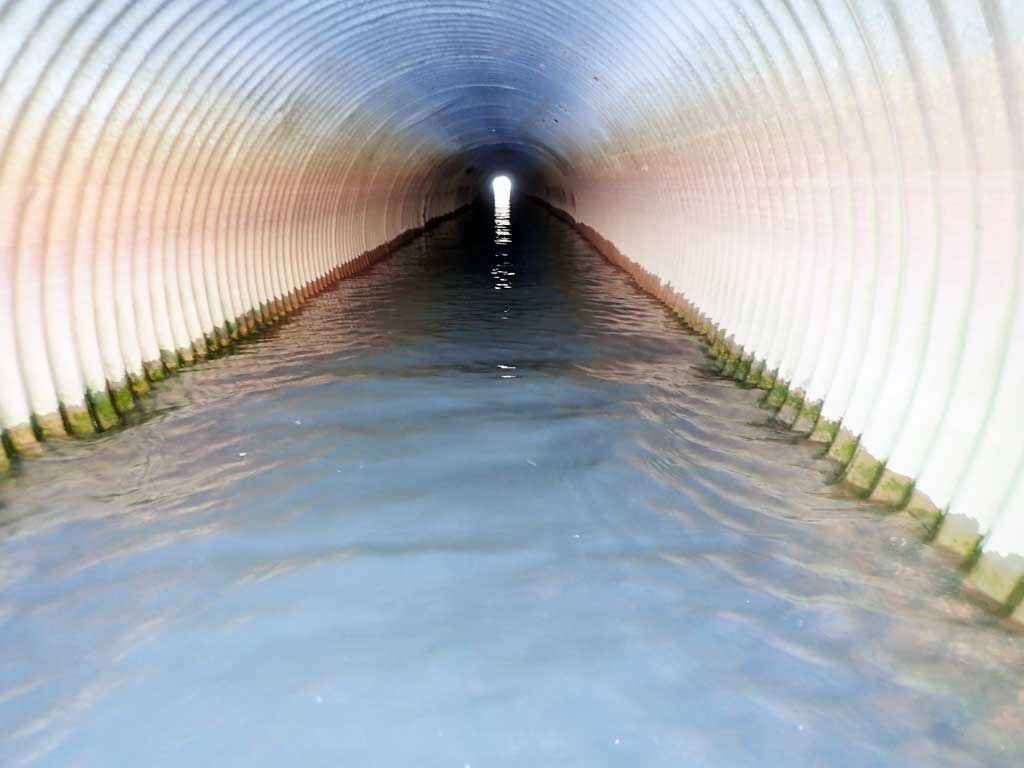
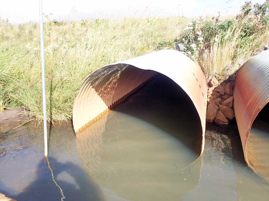
| ID: 1 | Structure Type: Circular pipe (Corrugated steel) | Fish Passage Rating: | |||||||||||||||||||||||||||||||||||||||||
|
|
|
|||||||||||||||||||||||||||||||||||||||||
Comments: Water surface fairly flat through culvert, almost no discernible flow. |
|||||||||||||||||||||||||||||||||||||||||||
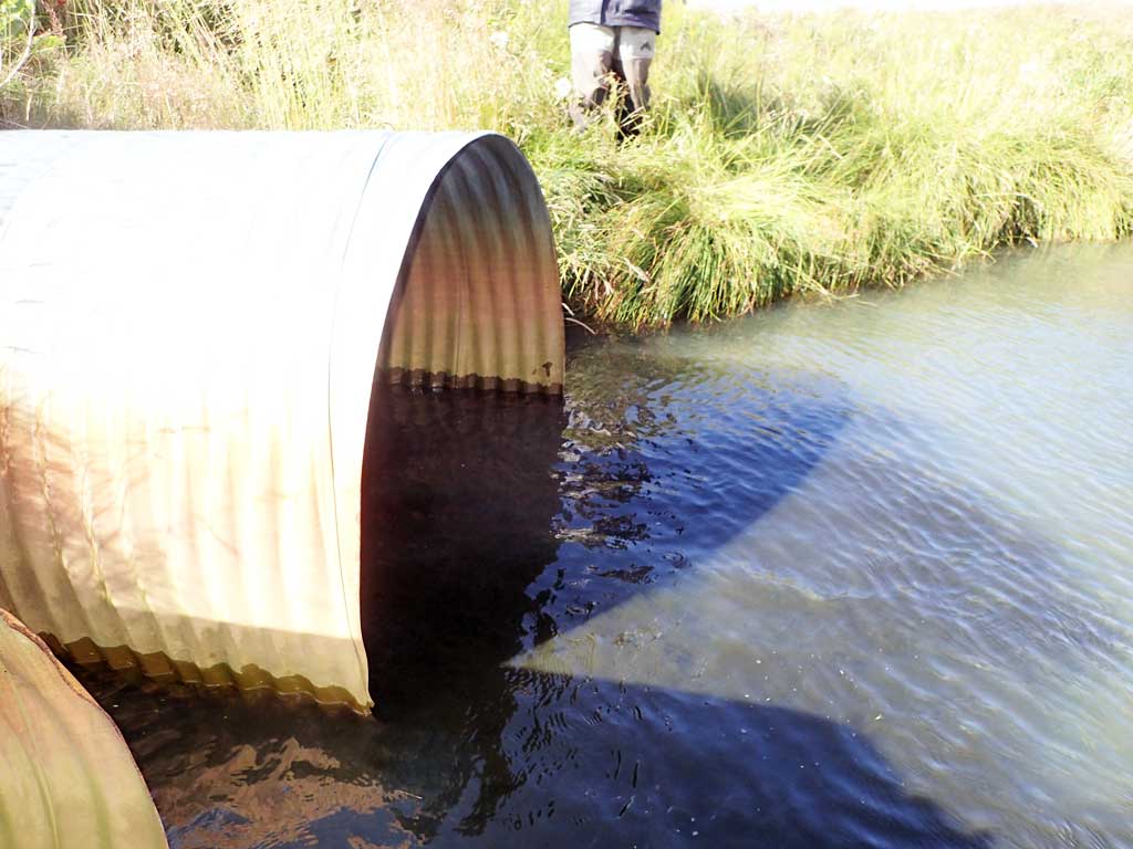
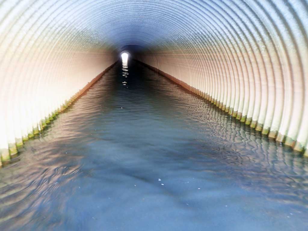
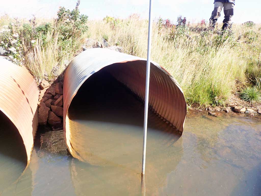
| ID: 2 | Structure Type: Circular pipe (Corrugated steel) | Fish Passage Rating: | |||||||||||||||||||||||||||||||||||||||||
|
|
|
|||||||||||||||||||||||||||||||||||||||||
Comments: Water surface fairly flat through culvert, almost no discernible flow. |
|||||||||||||||||||||||||||||||||||||||||||
Stream Measurements
|
|
No stream width data available.
Elevations
No elevation data available.
Fish Sampling Efforts
No fish sampling occurred during this survey.
Fish Observations
No fish observations occurred during this survey.
Photos
Questions or comments about this report can be directed to dfg.dsf.webmaster@alaska.gov